Baudette is a city in, and the county seat of, Lake of the Woods County, Minnesota, United States. As of the 2020 census, its population was 966. Baudette is known as the Walleye Capital of the World.
| Name: | Baudette city |
|---|---|
| LSAD Code: | 25 |
| LSAD Description: | city (suffix) |
| State: | Minnesota |
| County: | Lake of the Woods County |
| Incorporated: | 1907 |
| Elevation: | 1,089 ft (332 m) |
| Total Area: | 4.71 sq mi (12.21 km²) |
| Land Area: | 4.23 sq mi (10.97 km²) |
| Water Area: | 0.48 sq mi (1.24 km²) |
| Total Population: | 966 |
| Population Density: | 228.15/sq mi (88.09/km²) |
| ZIP code: | 56623 |
| Area code: | 218 |
| FIPS code: | 2704024 |
| GNISfeature ID: | 0639732 |
| Website: | ci.baudette.mn.us |
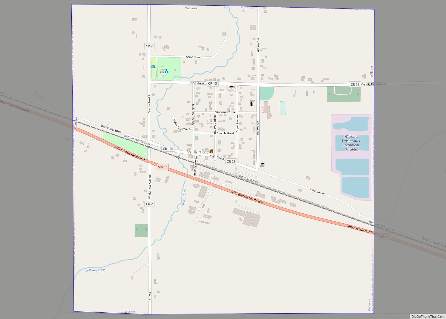
Online Interactive Map
Click on ![]() to view map in "full screen" mode.
to view map in "full screen" mode.
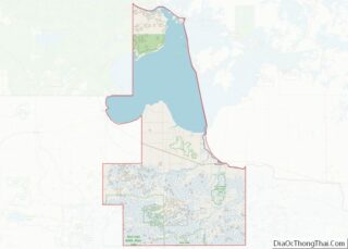
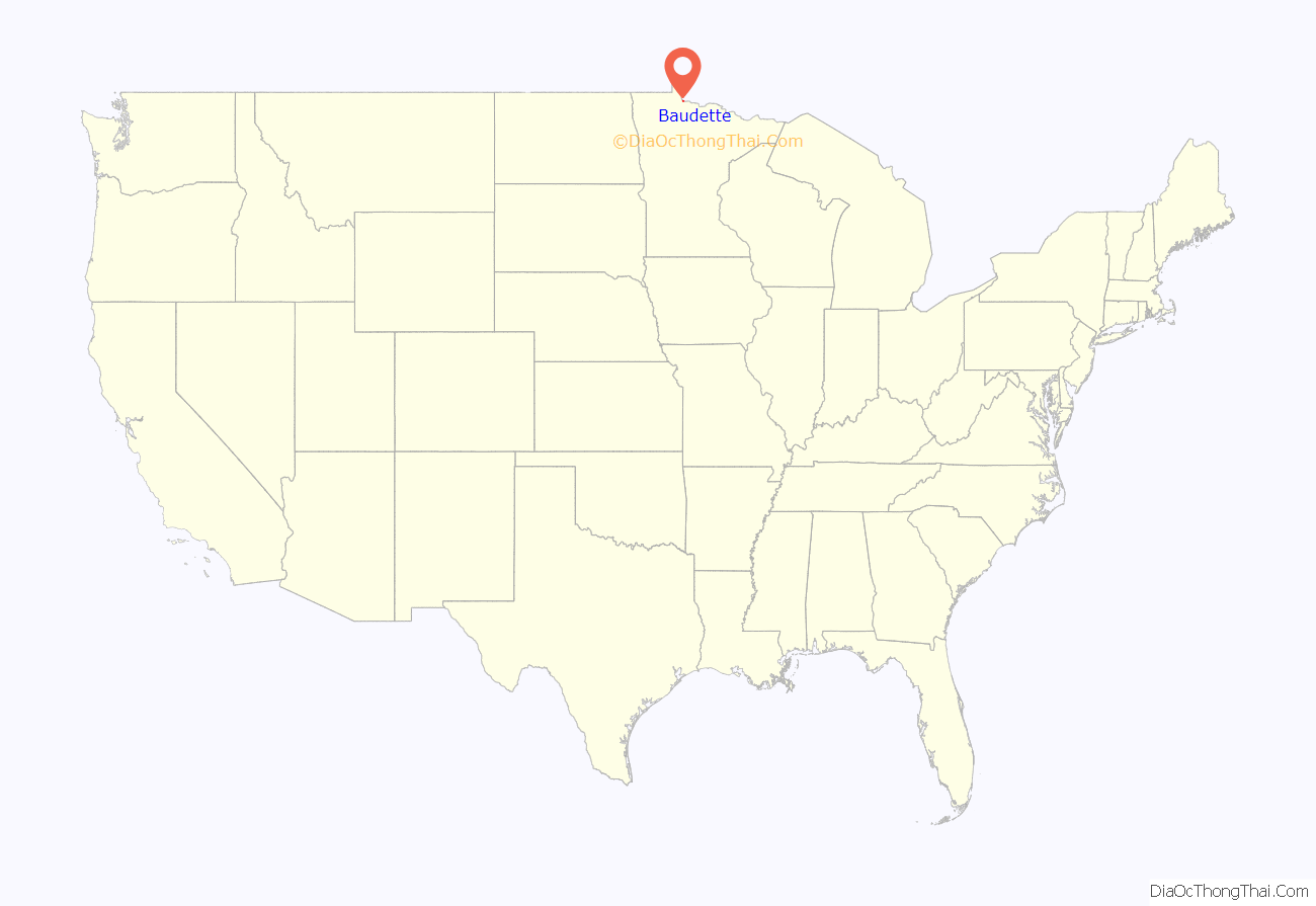
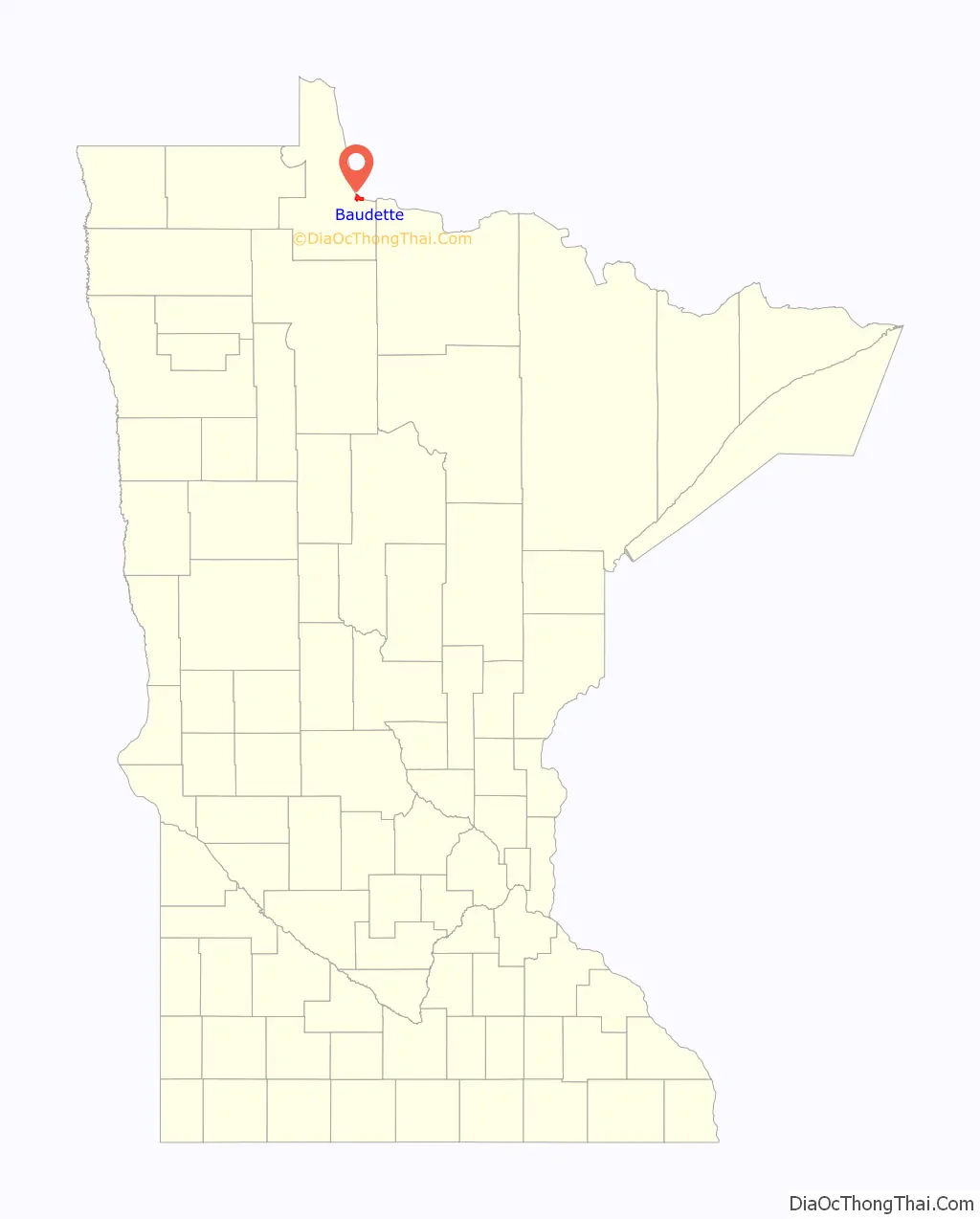
Baudette location map. Where is Baudette city?
History
Baudette was incorporated in 1907. It was started by European Americans as a steamboat landing and lumber town with a sawmill, after the railroad was constructed through this area in 1901. It was named for Joseph Beaudette, a trapper of French-Canadian descent who had been in the area since the early 1880s. The post office at Baudette began in 1900, first called “Port Hyland”, after postmaster Daniel Hyland. The name was changed to “Baudette” in 1901. Baudette had a station of the Minnesota and Manitoba Railroad, now absorbed by the Canadian National Railway.
Baudette was largely destroyed in the Baudette Fire of 1910, but was quickly rebuilt. Many of its people were saved by a train with boxcars sent across the river from Rainy River, Ontario, which pulled survivors to safety on the other side.
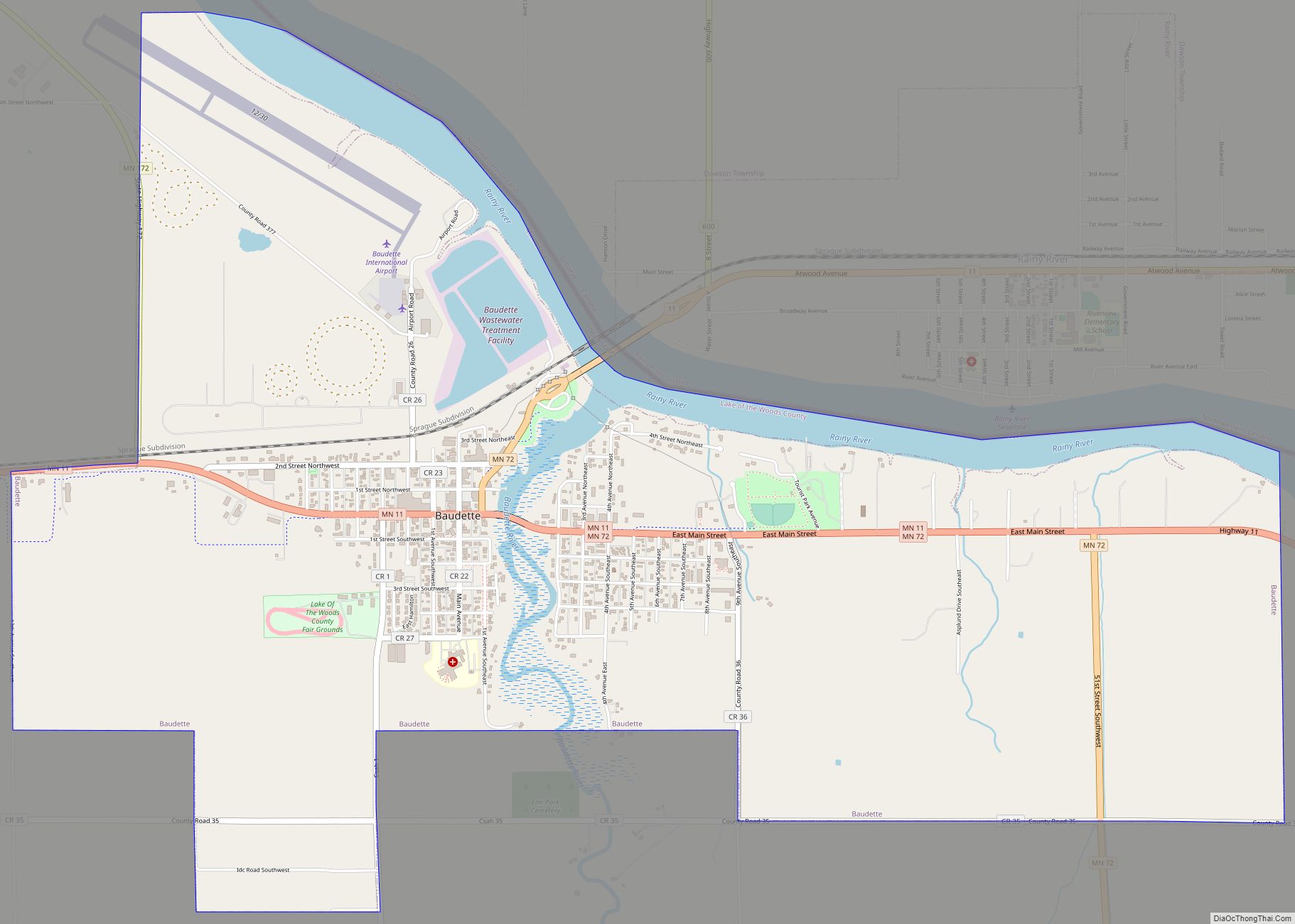
Baudette Road Map
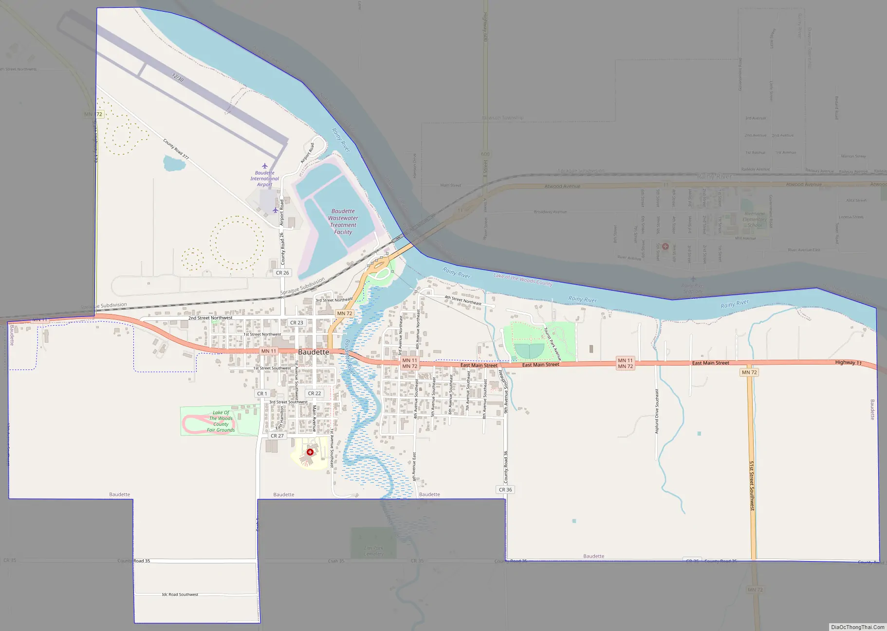
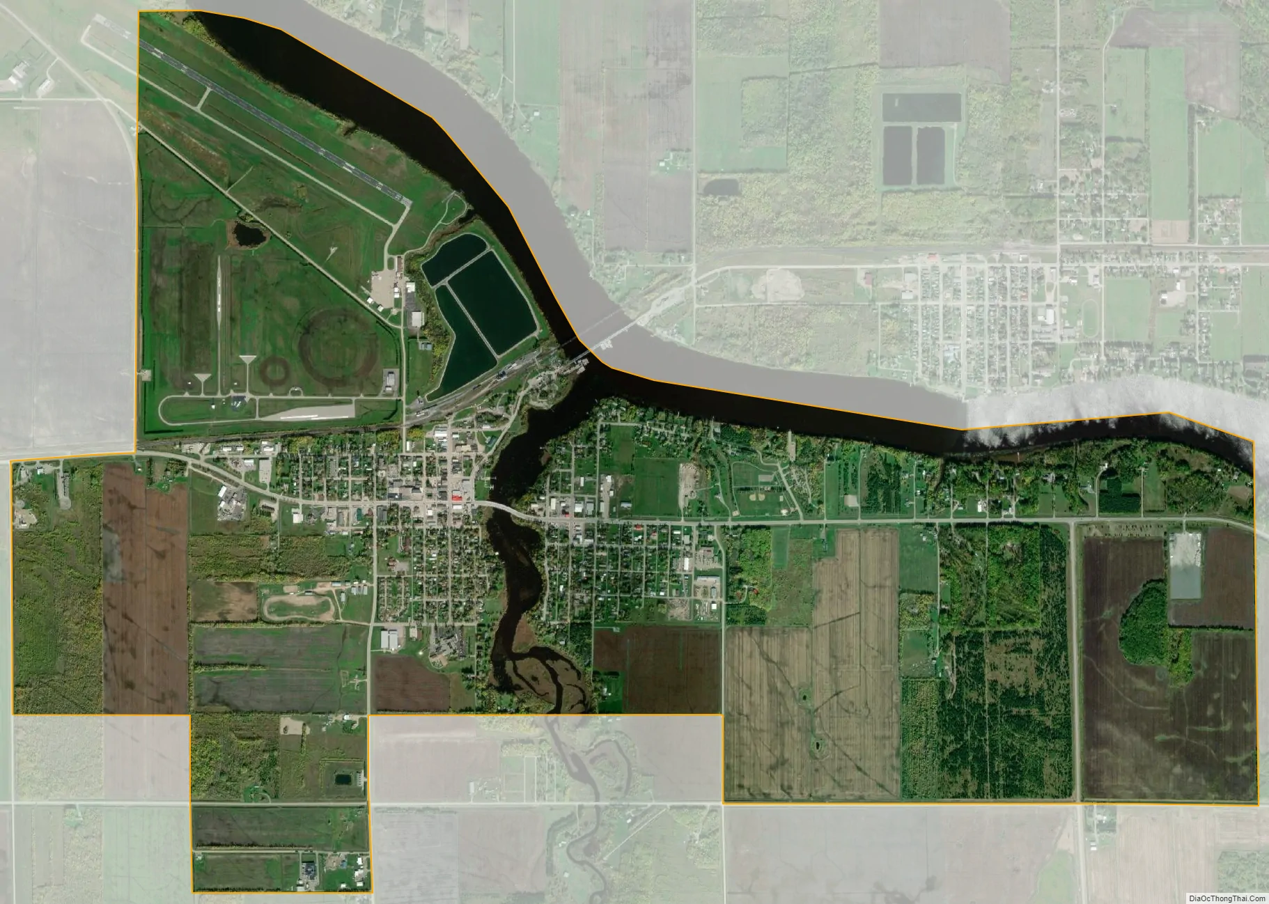
Baudette city Satellite Map
Geography
The city is along the Rainy River at its confluence with the Baudette River. It lies across the river from Rainy River, Ontario, and southeast of Lake of the Woods.
Baudette and Rainy River are connected by the Baudette–Rainy River International Bridge.
Minnesota Highway 11, Minnesota Highway 72, and Minnesota Highway 172 are three of the community’s main routes. Highway 11 leads northwest 36 miles (58 km) to Warroad at the southwest end of Lake of the Woods and east 68 miles (109 km) to International Falls, while Highway 72 leads south 76 miles (122 km) to Blackduck and Highway 172 leads north 12 miles (19 km) to Wheelers Point at the mouth of the Rainy River into Lake of the Woods.
According to the United States Census Bureau, the city has an area of 4.66 square miles (12.07 km), of which 4.25 square miles (11.01 km) are land and 0.41 square miles (1.06 km) are water.
See also
Map of Minnesota State and its subdivision:- Aitkin
- Anoka
- Becker
- Beltrami
- Benton
- Big Stone
- Blue Earth
- Brown
- Carlton
- Carver
- Cass
- Chippewa
- Chisago
- Clay
- Clearwater
- Cook
- Cottonwood
- Crow Wing
- Dakota
- Dodge
- Douglas
- Faribault
- Fillmore
- Freeborn
- Goodhue
- Grant
- Hennepin
- Houston
- Hubbard
- Isanti
- Itasca
- Jackson
- Kanabec
- Kandiyohi
- Kittson
- Koochiching
- Lac qui Parle
- Lake
- Lake of the Woods
- Lake Superior
- Le Sueur
- Lincoln
- Lyon
- Mahnomen
- Marshall
- Martin
- McLeod
- Meeker
- Mille Lacs
- Morrison
- Mower
- Murray
- Nicollet
- Nobles
- Norman
- Olmsted
- Otter Tail
- Pennington
- Pine
- Pipestone
- Polk
- Pope
- Ramsey
- Red Lake
- Redwood
- Renville
- Rice
- Rock
- Roseau
- Saint Louis
- Scott
- Sherburne
- Sibley
- Stearns
- Steele
- Stevens
- Swift
- Todd
- Traverse
- Wabasha
- Wadena
- Waseca
- Washington
- Watonwan
- Wilkin
- Winona
- Wright
- Yellow Medicine
- Alabama
- Alaska
- Arizona
- Arkansas
- California
- Colorado
- Connecticut
- Delaware
- District of Columbia
- Florida
- Georgia
- Hawaii
- Idaho
- Illinois
- Indiana
- Iowa
- Kansas
- Kentucky
- Louisiana
- Maine
- Maryland
- Massachusetts
- Michigan
- Minnesota
- Mississippi
- Missouri
- Montana
- Nebraska
- Nevada
- New Hampshire
- New Jersey
- New Mexico
- New York
- North Carolina
- North Dakota
- Ohio
- Oklahoma
- Oregon
- Pennsylvania
- Rhode Island
- South Carolina
- South Dakota
- Tennessee
- Texas
- Utah
- Vermont
- Virginia
- Washington
- West Virginia
- Wisconsin
- Wyoming