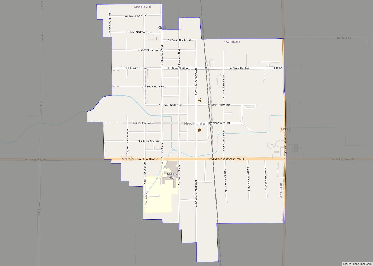
New Richland is a city in Waseca County, Minnesota, United States. The city was founded in 1877. The population was 1,203 at the 2010 census. New Richland city overview: Name: New Richland city LSAD Code: 25 LSAD Description: city (suffix) State: Minnesota County: Waseca County Elevation: 1,181 ft (360 m) Total Area: 0.59 sq mi (1.53 km²) Land Area: 0.59 sq mi ... Read more
Minnesota Cities and Places
New Prague (/ˈpreɪɡ/ PRAYG) is a city in Scott and Le Sueur counties in the state of Minnesota. The population was 7,321 at the 2010 census. New Prague city overview: Name: New Prague city LSAD Code: 25 LSAD Description: city (suffix) State: Minnesota County: Le Sueur County, Scott County Elevation: 988 ft (301 m) Total Area: 3.87 sq mi ... Read more
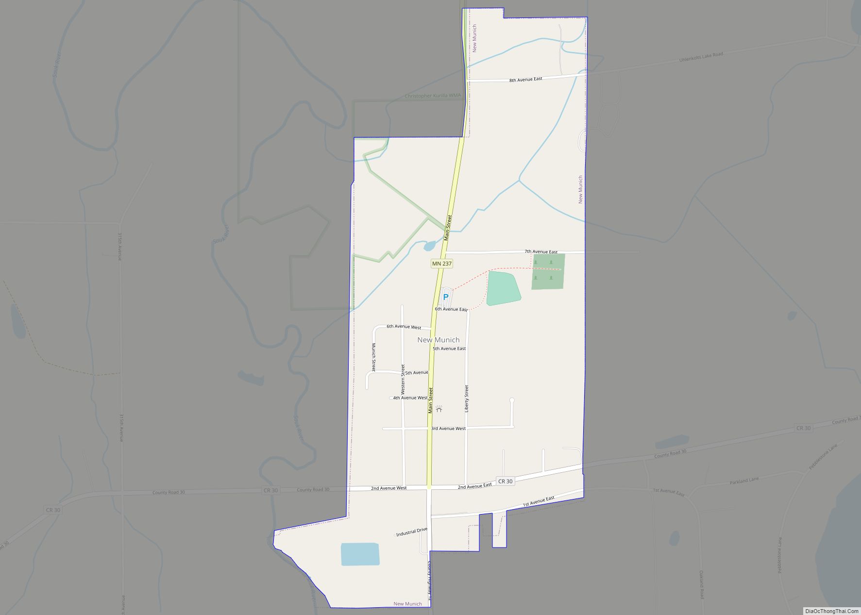
New Munich (/ˈnjuː ˈmjuːnɪk/ NEW MEW-nik) is a city in Stearns County, Minnesota, United States. The population was 320 at the 2010 census. It is part of the St. Cloud Metropolitan Statistical Area. New Munich city overview: Name: New Munich city LSAD Code: 25 LSAD Description: city (suffix) State: Minnesota County: Stearns County Elevation: 1,184 ft ... Read more
New London is a city in Kandiyohi County, Minnesota, United States along the Middle Fork of the Crow River. The population was 1,251 at the 2010 census. Sibley State Park is nearby. It was named after New London, Wisconsin, by Louis Larson because of the similarity he saw with his previous home there. It was ... Read more
New Hope is a city in Hennepin County, Minnesota, United States and a suburb of Minneapolis. The population was 21,986 at the 2020 census. New Hope city overview: Name: New Hope city LSAD Code: 25 LSAD Description: city (suffix) State: Minnesota County: Hennepin County Incorporated: 1936 Elevation: 932 ft (284 m) Total Area: 5.11 sq mi (13.25 km²) Land Area: ... Read more
North Branch is a city in Chisago County, Minnesota, United States, at the junction of Interstate 35 and Minnesota State Highway 95. The population was 10,787 at the 2020 census. It is named for the north branch of the Sunrise River, which flows through the city. North Branch city overview: Name: North Branch city LSAD ... Read more
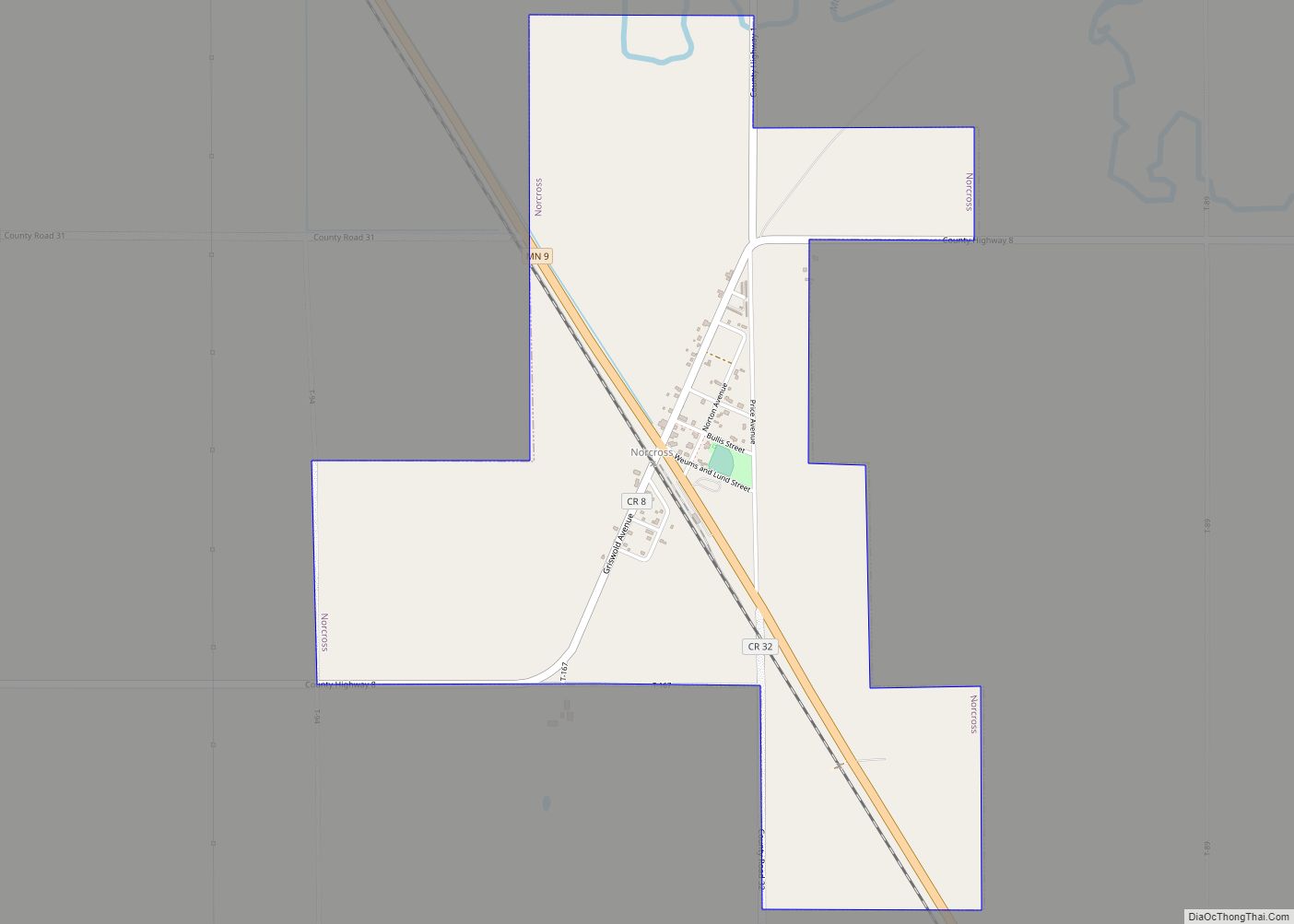
Norcross is a city in Grant County, Minnesota, United States, along the Mustinka River. The population was 70 at the 2010 census. Norcross city overview: Name: Norcross city LSAD Code: 25 LSAD Description: city (suffix) State: Minnesota County: Grant County Elevation: 1,040 ft (317 m) Total Area: 1.56 sq mi (4.03 km²) Land Area: 1.56 sq mi (4.03 km²) Water Area: 0.00 sq mi (0.00 km²) ... Read more
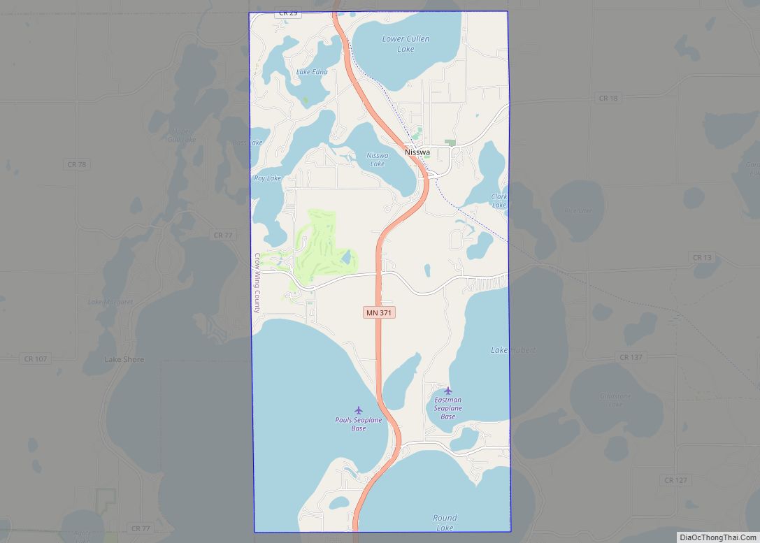
Nisswa (/ˈnɪswə/ NISS-wə) is a city in Crow Wing County, Minnesota, United States. The population was 1,971 at the 2010 census. Nisswa is part of the Brainerd Micropolitan Statistical Area, near Gull Lake. Nisswa city overview: Name: Nisswa city LSAD Code: 25 LSAD Description: city (suffix) State: Minnesota County: Crow Wing County Elevation: 1,230 ft (370 m) ... Read more
Nimrod is a city in Wadena County, Minnesota, United States. The population was 69 at the 2010 census, making it one of the smallest incorporated towns in Minnesota, though it is included on most major maps. Nimrod was incorporated as a city in 1946. The town is named after the Biblical Nimrod. Minnesota State Highway ... Read more
Nielsville (/ˈniːlzvɪl/ NEELZ-vil) is a city in Polk County, Minnesota, United States. It is part of the Grand Forks, ND–MN Metropolitan Statistical Area. The population was 78 at the 2020 census. Nielsville city overview: Name: Nielsville city LSAD Code: 25 LSAD Description: city (suffix) State: Minnesota County: Polk County Elevation: 866 ft (264 m) Total Area: 0.29 sq mi ... Read more
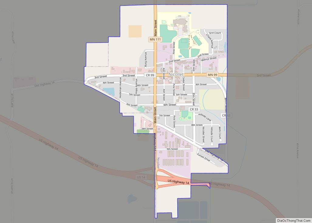
Nicollet (/ˈnɪkəlɪt/ NIH-kə-lit) is a city in Nicollet County, Minnesota, United States. The population was 1,143 at the 2020 census. It is part of the Mankato—North Mankato Metropolitan Statistical Area. U.S. Route 14 and Minnesota State Highways 99 and 111 are the three main arterial routes in the community. Nearby Swan Lake Wildlife Management Area ... Read more
Northfield is a city in Dakota and Rice counties in the State of Minnesota. It is mostly in Rice County, with a small portion in Dakota County. The population was 20,790 at the 2020 census. Northfield city overview: Name: Northfield city LSAD Code: 25 LSAD Description: city (suffix) State: Minnesota County: Dakota County, Rice County ... Read more
