Northfield is a city in Dakota and Rice counties in the State of Minnesota. It is mostly in Rice County, with a small portion in Dakota County. The population was 20,790 at the 2020 census.
| Name: | Northfield city |
|---|---|
| LSAD Code: | 25 |
| LSAD Description: | city (suffix) |
| State: | Minnesota |
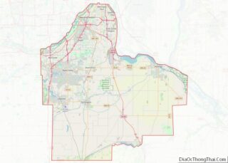
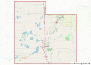
| County: | Dakota County, Rice County |
| Founded: | 1856 |
| Incorporated: | 1868 |
| Elevation: | 912 ft (278 m) |
| Total Area: | 8.53 sq mi (22.10 km²) |
| Land Area: | 8.51 sq mi (22.03 km²) |
| Water Area: | 0.03 sq mi (0.06 km²) 0.58% |
| Total Population: | 20,790 |
| Population Density: | 2,443.87/sq mi (943.55/km²) |
| ZIP code: | 55057 |
| Area code: | 507 |
| FIPS code: | 2746924 |
| GNISfeature ID: | 0648725 |
Online Interactive Map
Click on ![]() to view map in "full screen" mode.
to view map in "full screen" mode.
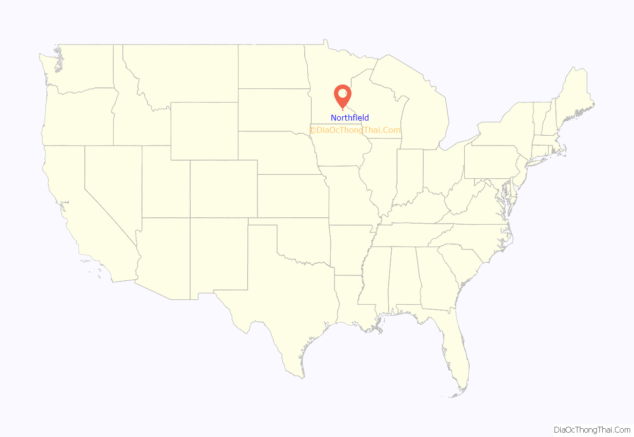
Northfield location map. Where is Northfield city?

History
Northfield was platted in 1856 by John W. North. Local legend says that the town was named for John North and a Mr. Field. North, realizing that the town straddled the proposed northern border of Rice county, went to the state capital to lobby to move the border one mile north. Northfield was founded by settlers from New England known as “Yankees” as part of New England’s colonization of what was then the far west. It was an early agricultural center with many wheat and corn farms. The town also supported lumber and flour mills powered by the Cannon River. As the “wheat frontier” moved west, dairy operations and diversified farms replaced wheat-based agriculture. The region has since moved away from dairy and beef operations. Today it produces substantial crops of corn and soybeans, as well as hogs. The local cereal producer Malt-O-Meal is one of the few remnants of Northfield’s historic wheat boom. The city’s motto, “Cows, Colleges, and Contentment”, reflects the influence of the dairy farms as well as its two liberal arts colleges, Carleton College and St. Olaf College.
Since early in its history, Northfield has been a center of higher education. Carleton College (then Northfield College) was founded in 1866 by the Minnesota Conference of Congregational churches whose Congregation consisted of the “Yankee” settlers who had largely founded the town. These were people descended from the English Puritans who settled New England in the 1600s. Carleton soon established its campus on the northern edge of town. St. Olaf College was founded in 1874 on the western edge of town by Norwegian Lutheran immigrant pastors and farmers who were eager to preserve their faith and culture by training teachers and preachers. These two institutions, which today enroll more than 5,000 students, make Northfield a college town.
In the 1970s, completion of Interstate 35 six miles west of Northfield enabled the expansion of the Minneapolis–Saint Paul metro area south of the Minnesota River. The downtown grain elevator accepted its last load of corn in 2000 and was torn down in 2002. Residential growth has been rapid since the mid-1990s. Northfield Hospital, which opened in 2003 in the town’s northwest corner, is in Dakota County, so chosen because government reimbursement rates are more generous for Dakota County than for Rice County.
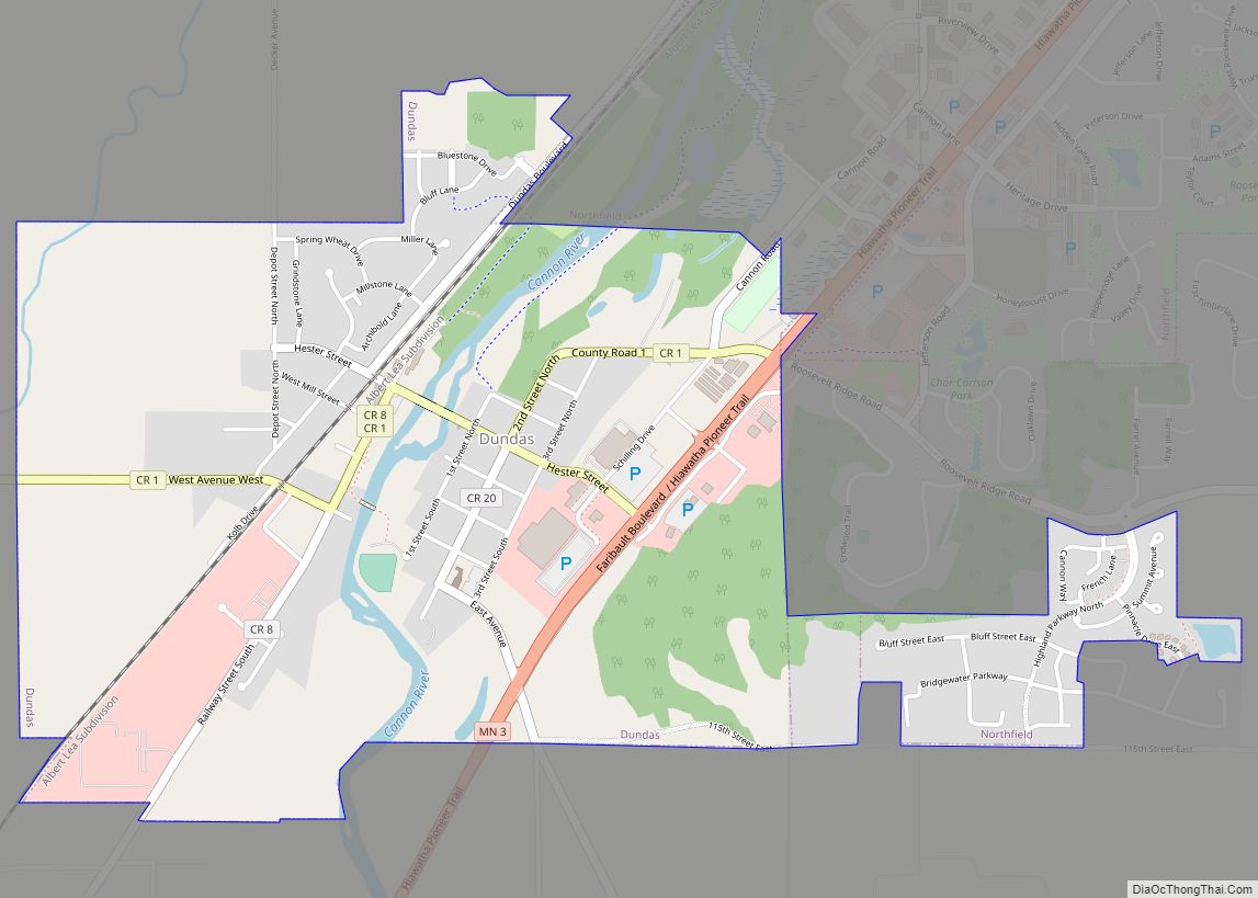
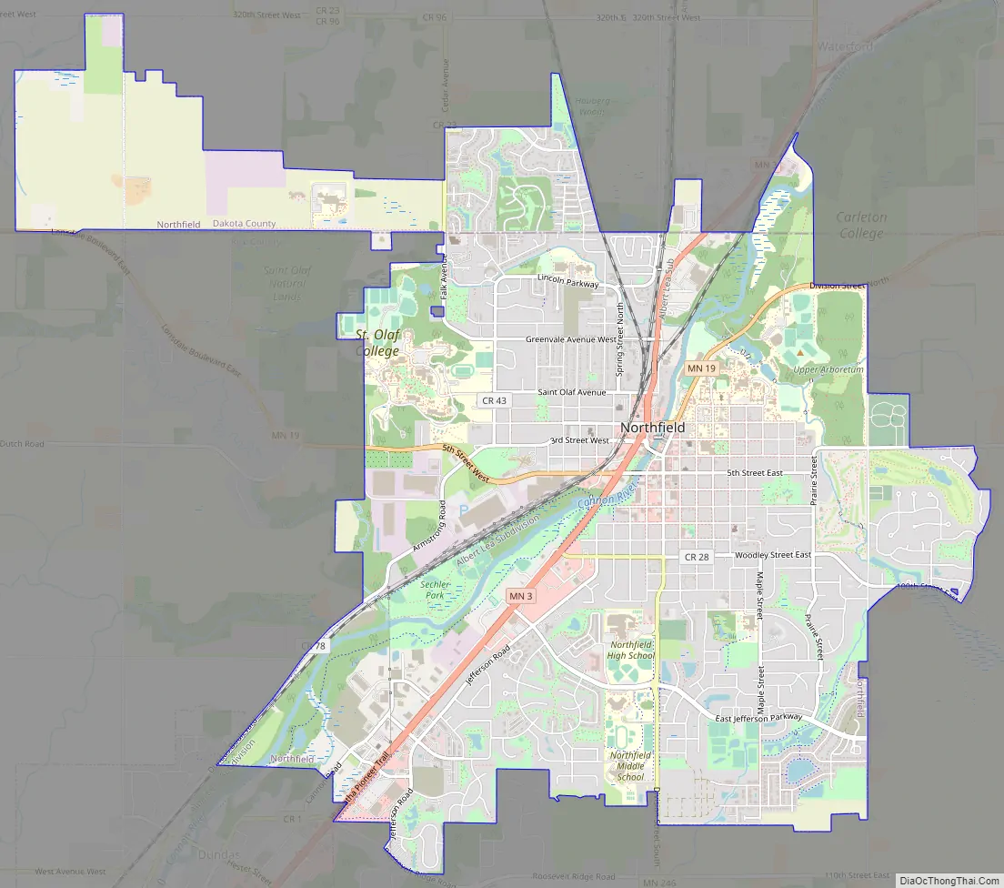
Northfield Road Map
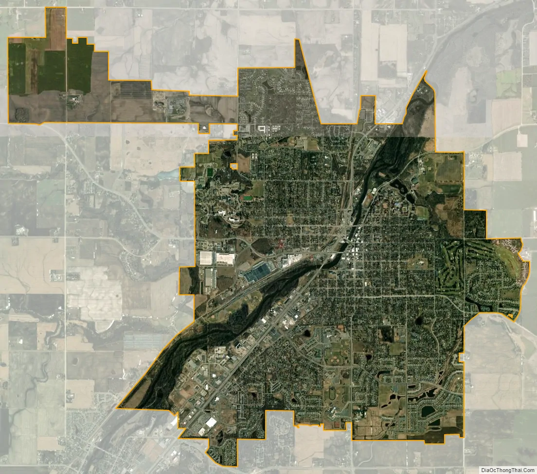
Northfield city Satellite Map
Geography
According to the United States Census Bureau, the city has an area of 8.61 square miles (22.30 km); 8.56 square miles (22.17 km) is land and 0.05 square miles (0.13 km) is water. The peak elevation is about 912 feet.
The town is roughly centered around the Cannon River and rises to the east and west from it.
Interstate 35 is 6 mi (9.7 km) west of Northfield. Minnesota State Highways 3, 19, and 246 are three of Northfield’s main routes.
See also
Map of Minnesota State and its subdivision:- Aitkin
- Anoka
- Becker
- Beltrami
- Benton
- Big Stone
- Blue Earth
- Brown
- Carlton
- Carver
- Cass
- Chippewa
- Chisago
- Clay
- Clearwater
- Cook
- Cottonwood
- Crow Wing
- Dakota
- Dodge
- Douglas
- Faribault
- Fillmore
- Freeborn
- Goodhue
- Grant
- Hennepin
- Houston
- Hubbard
- Isanti
- Itasca
- Jackson
- Kanabec
- Kandiyohi
- Kittson
- Koochiching
- Lac qui Parle
- Lake
- Lake of the Woods
- Lake Superior
- Le Sueur
- Lincoln
- Lyon
- Mahnomen
- Marshall
- Martin
- McLeod
- Meeker
- Mille Lacs
- Morrison
- Mower
- Murray
- Nicollet
- Nobles
- Norman
- Olmsted
- Otter Tail
- Pennington
- Pine
- Pipestone
- Polk
- Pope
- Ramsey
- Red Lake
- Redwood
- Renville
- Rice
- Rock
- Roseau
- Saint Louis
- Scott
- Sherburne
- Sibley
- Stearns
- Steele
- Stevens
- Swift
- Todd
- Traverse
- Wabasha
- Wadena
- Waseca
- Washington
- Watonwan
- Wilkin
- Winona
- Wright
- Yellow Medicine
- Alabama
- Alaska
- Arizona
- Arkansas
- California
- Colorado
- Connecticut
- Delaware
- District of Columbia
- Florida
- Georgia
- Hawaii
- Idaho
- Illinois
- Indiana
- Iowa
- Kansas
- Kentucky
- Louisiana
- Maine
- Maryland
- Massachusetts
- Michigan
- Minnesota
- Mississippi
- Missouri
- Montana
- Nebraska
- Nevada
- New Hampshire
- New Jersey
- New Mexico
- New York
- North Carolina
- North Dakota
- Ohio
- Oklahoma
- Oregon
- Pennsylvania
- Rhode Island
- South Carolina
- South Dakota
- Tennessee
- Texas
- Utah
- Vermont
- Virginia
- Washington
- West Virginia
- Wisconsin
- Wyoming