North Branch is a city in Chisago County, Minnesota, United States, at the junction of Interstate 35 and Minnesota State Highway 95. The population was 10,787 at the 2020 census. It is named for the north branch of the Sunrise River, which flows through the city.
| Name: | North Branch city |
|---|---|
| LSAD Code: | 25 |
| LSAD Description: | city (suffix) |
| State: | Minnesota |
| County: | Chisago County |
| Elevation: | 876 ft (267 m) |
| Total Area: | 36.03 sq mi (93.33 km²) |
| Land Area: | 35.60 sq mi (92.20 km²) |
| Water Area: | 0.43 sq mi (1.13 km²) |
| Total Population: | 10,787 |
| Population Density: | 303.01/sq mi (116.99/km²) |
| ZIP code: | 55056 |
| Area code: | 651 |
| FIPS code: | 2746798 |
| GNISfeature ID: | 2395250 |
| Website: | ci.north-branch.mn.us |
Online Interactive Map
Click on ![]() to view map in "full screen" mode.
to view map in "full screen" mode.
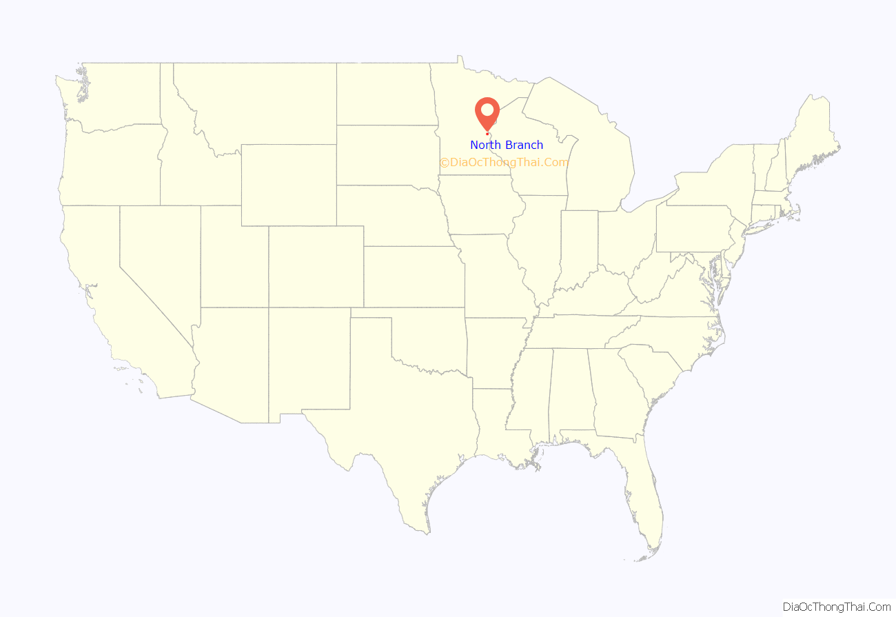
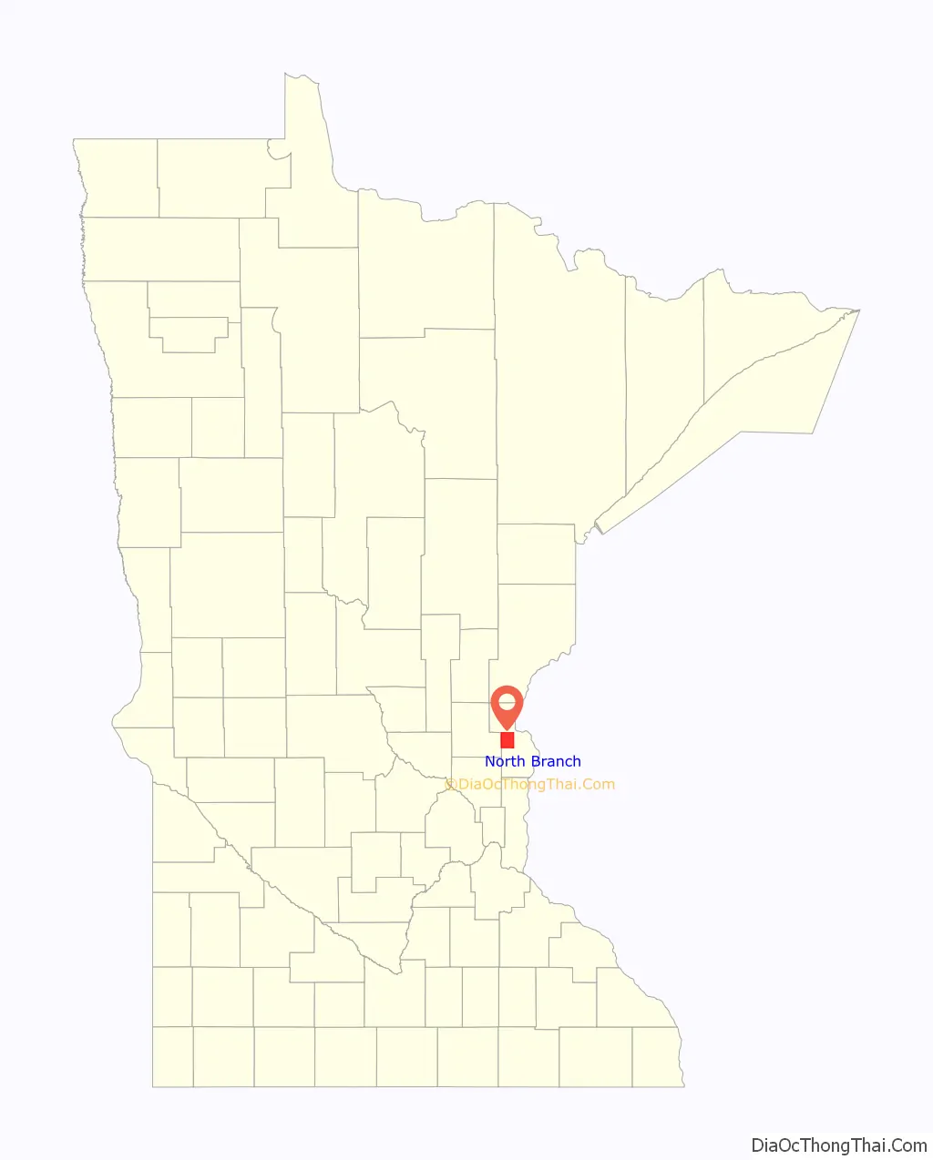
North Branch location map. Where is North Branch city?
History
North Branch became a township in 1861, and incorporated in 1881. In 1901 North Branch split into a village covering the more densely populated downtown area and a township covering the rest of the former village. The township later incorporated as the village of Branch in 1961. The two cities talked about a potential merger for years, beginning in the late 1970s. The first public referendum on the issue was held in 1984, and failed. A second referendum was held on September 13, 1994, and passed. The two cities officially merged on November 14, 1994.
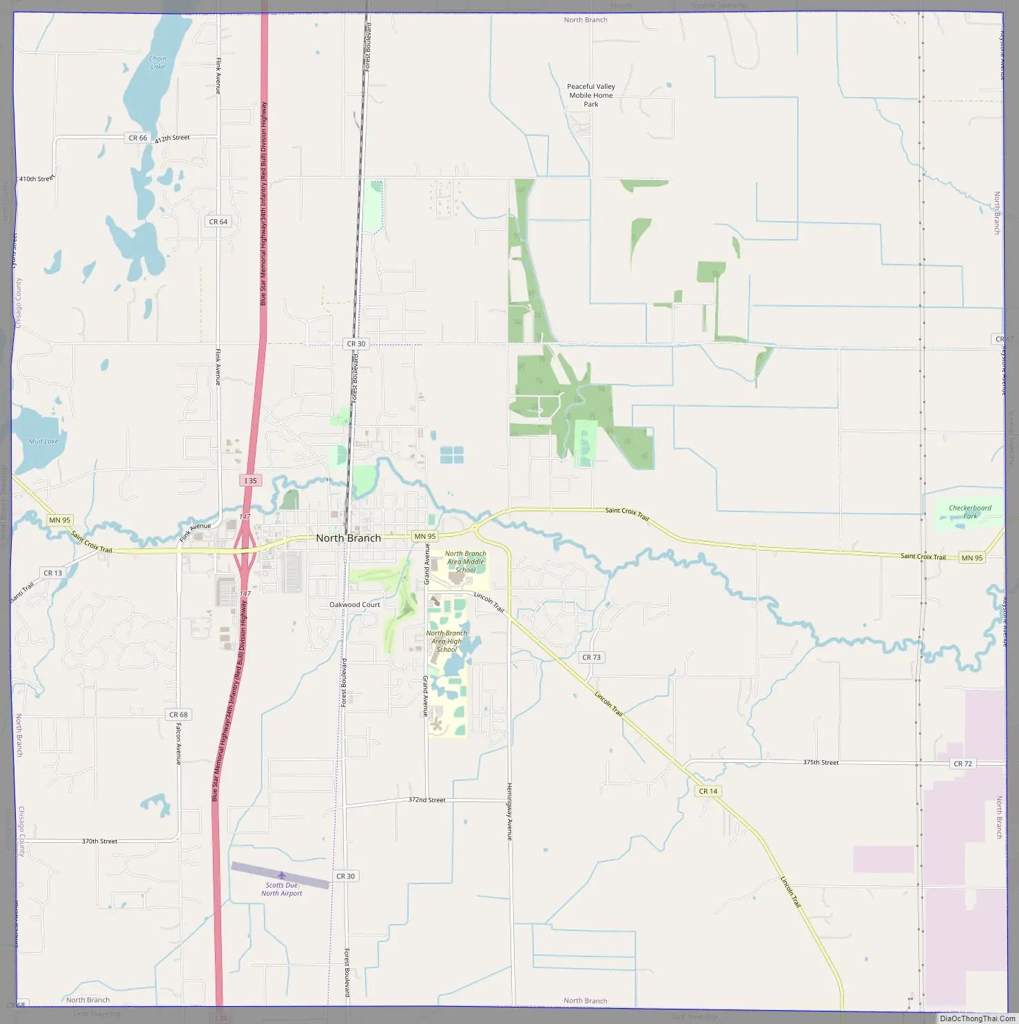
North Branch Road Map
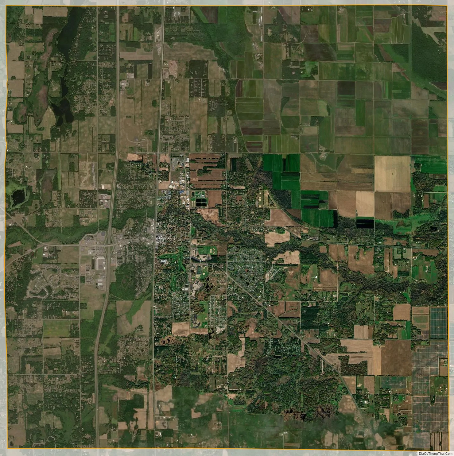
North Branch city Satellite Map
Geography
According to the United States Census Bureau, the city has a total area of 36.04 square miles (93.34 km), of which, 35.60 square miles (92.20 km) is land and 0.44 square miles (1.14 km) is water.
See also
Map of Minnesota State and its subdivision:- Aitkin
- Anoka
- Becker
- Beltrami
- Benton
- Big Stone
- Blue Earth
- Brown
- Carlton
- Carver
- Cass
- Chippewa
- Chisago
- Clay
- Clearwater
- Cook
- Cottonwood
- Crow Wing
- Dakota
- Dodge
- Douglas
- Faribault
- Fillmore
- Freeborn
- Goodhue
- Grant
- Hennepin
- Houston
- Hubbard
- Isanti
- Itasca
- Jackson
- Kanabec
- Kandiyohi
- Kittson
- Koochiching
- Lac qui Parle
- Lake
- Lake of the Woods
- Lake Superior
- Le Sueur
- Lincoln
- Lyon
- Mahnomen
- Marshall
- Martin
- McLeod
- Meeker
- Mille Lacs
- Morrison
- Mower
- Murray
- Nicollet
- Nobles
- Norman
- Olmsted
- Otter Tail
- Pennington
- Pine
- Pipestone
- Polk
- Pope
- Ramsey
- Red Lake
- Redwood
- Renville
- Rice
- Rock
- Roseau
- Saint Louis
- Scott
- Sherburne
- Sibley
- Stearns
- Steele
- Stevens
- Swift
- Todd
- Traverse
- Wabasha
- Wadena
- Waseca
- Washington
- Watonwan
- Wilkin
- Winona
- Wright
- Yellow Medicine
- Alabama
- Alaska
- Arizona
- Arkansas
- California
- Colorado
- Connecticut
- Delaware
- District of Columbia
- Florida
- Georgia
- Hawaii
- Idaho
- Illinois
- Indiana
- Iowa
- Kansas
- Kentucky
- Louisiana
- Maine
- Maryland
- Massachusetts
- Michigan
- Minnesota
- Mississippi
- Missouri
- Montana
- Nebraska
- Nevada
- New Hampshire
- New Jersey
- New Mexico
- New York
- North Carolina
- North Dakota
- Ohio
- Oklahoma
- Oregon
- Pennsylvania
- Rhode Island
- South Carolina
- South Dakota
- Tennessee
- Texas
- Utah
- Vermont
- Virginia
- Washington
- West Virginia
- Wisconsin
- Wyoming


