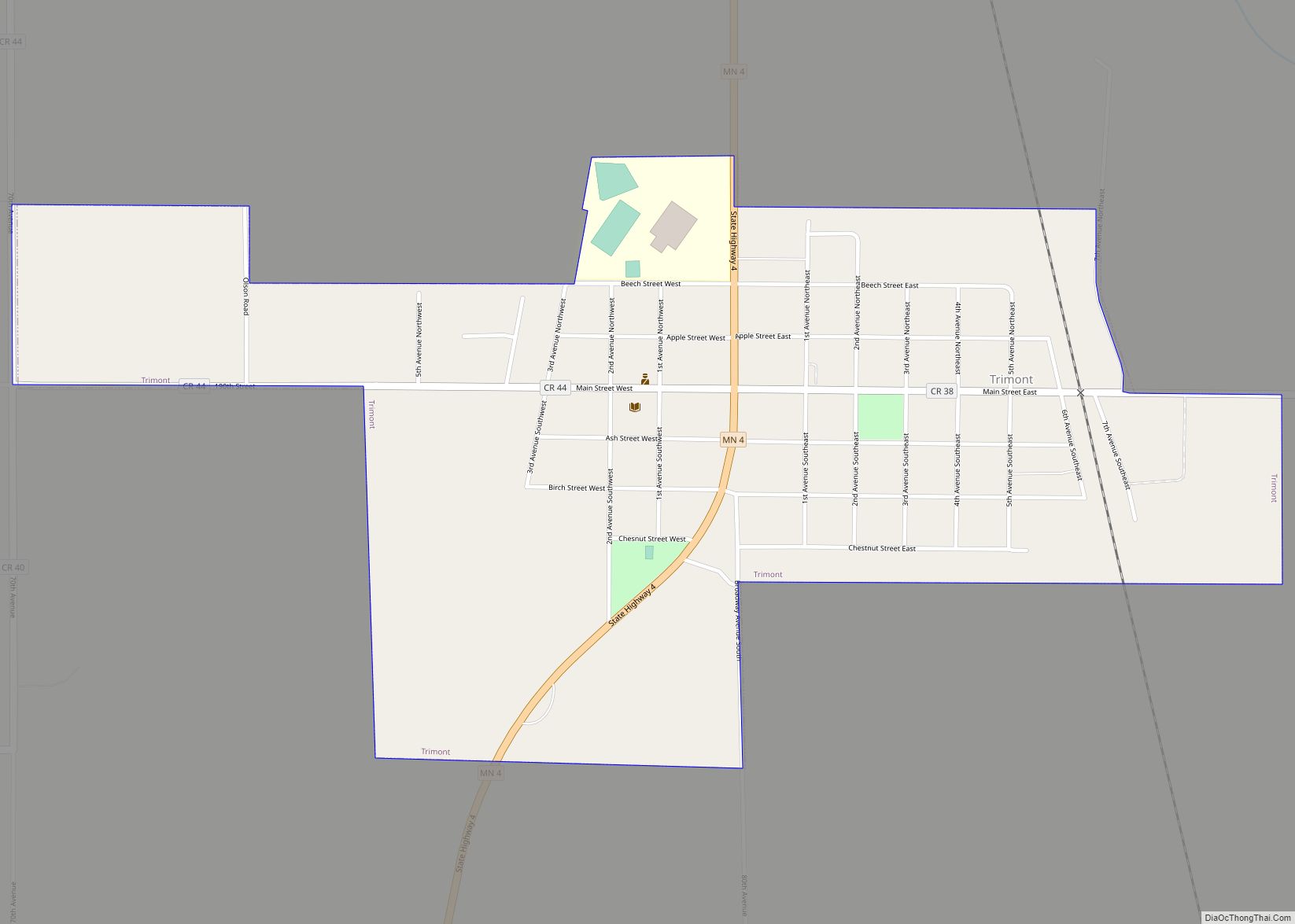
Trimont is a city in Martin County, Minnesota, United States. The population was 747 at the 2010 census. The U.S. Census Bureau estimated 2018 population is 704. The small community is located in south central Minnesota between Sherburn and St. James on Minnesota State Highway 4. Interstate 90 is nearby. Trimont was once two different ... Read more
Minnesota Cities and Places
Turtle River is a town in Beltrami County, Minnesota, United States. The population was 77 at the 2010 census. The elevation is 1,332 ft (406m). It is approximately 17 miles northeast of Bemidji, where most community services are available. Turtle River consists of two stores, a restaurant, a gas station, and a church. Turtle River city ... Read more
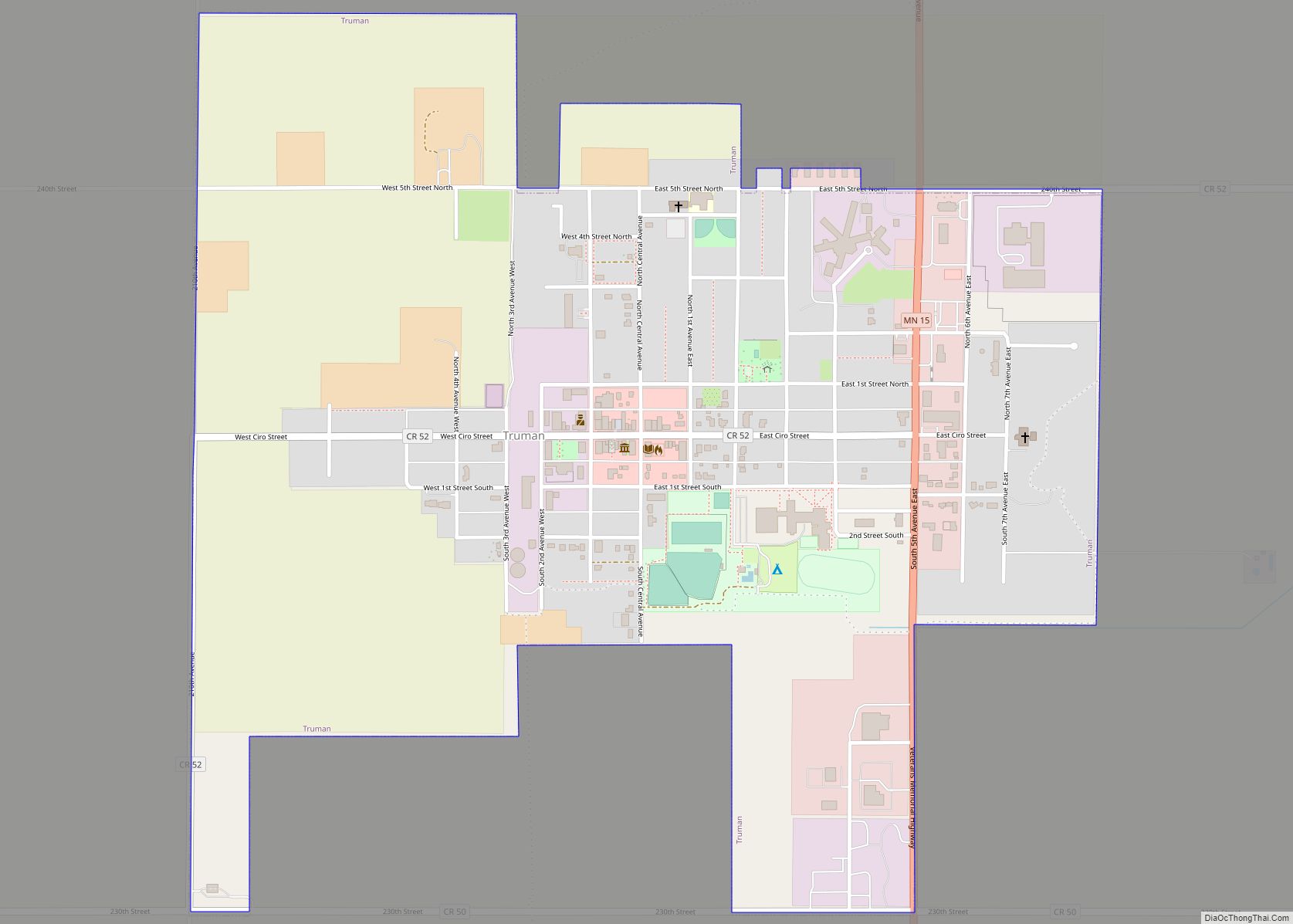
Truman is a city in Martin County, Minnesota, United States. The population was 1,115 at the 2010 census. In 2018, the U.S. Census Bureau estimated the population to be 1,053. Truman city overview: Name: Truman city LSAD Code: 25 LSAD Description: city (suffix) State: Minnesota County: Martin County Elevation: 1,116 ft (340 m) Total Area: 1.10 sq mi (2.85 km²) ... Read more
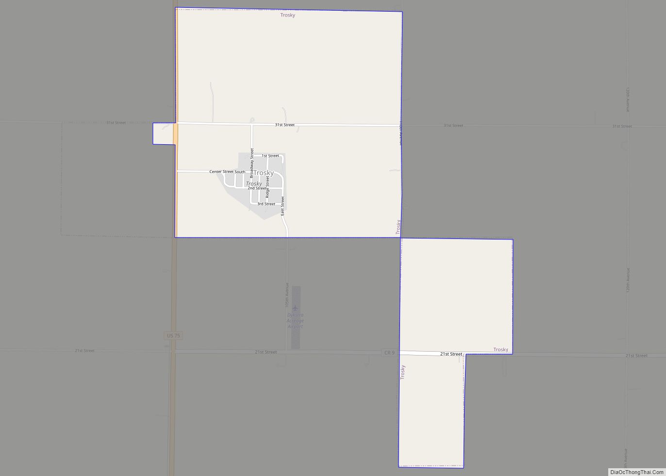
Trosky is a city in Pipestone County, Minnesota, United States. The population was 86 at the 2010 census. Trosky city overview: Name: Trosky city LSAD Code: 25 LSAD Description: city (suffix) State: Minnesota County: Pipestone County Elevation: 1,657 ft (505 m) Total Area: 1.41 sq mi (3.65 km²) Land Area: 1.41 sq mi (3.65 km²) Water Area: 0.00 sq mi (0.00 km²) Total Population: 98 Population ... Read more
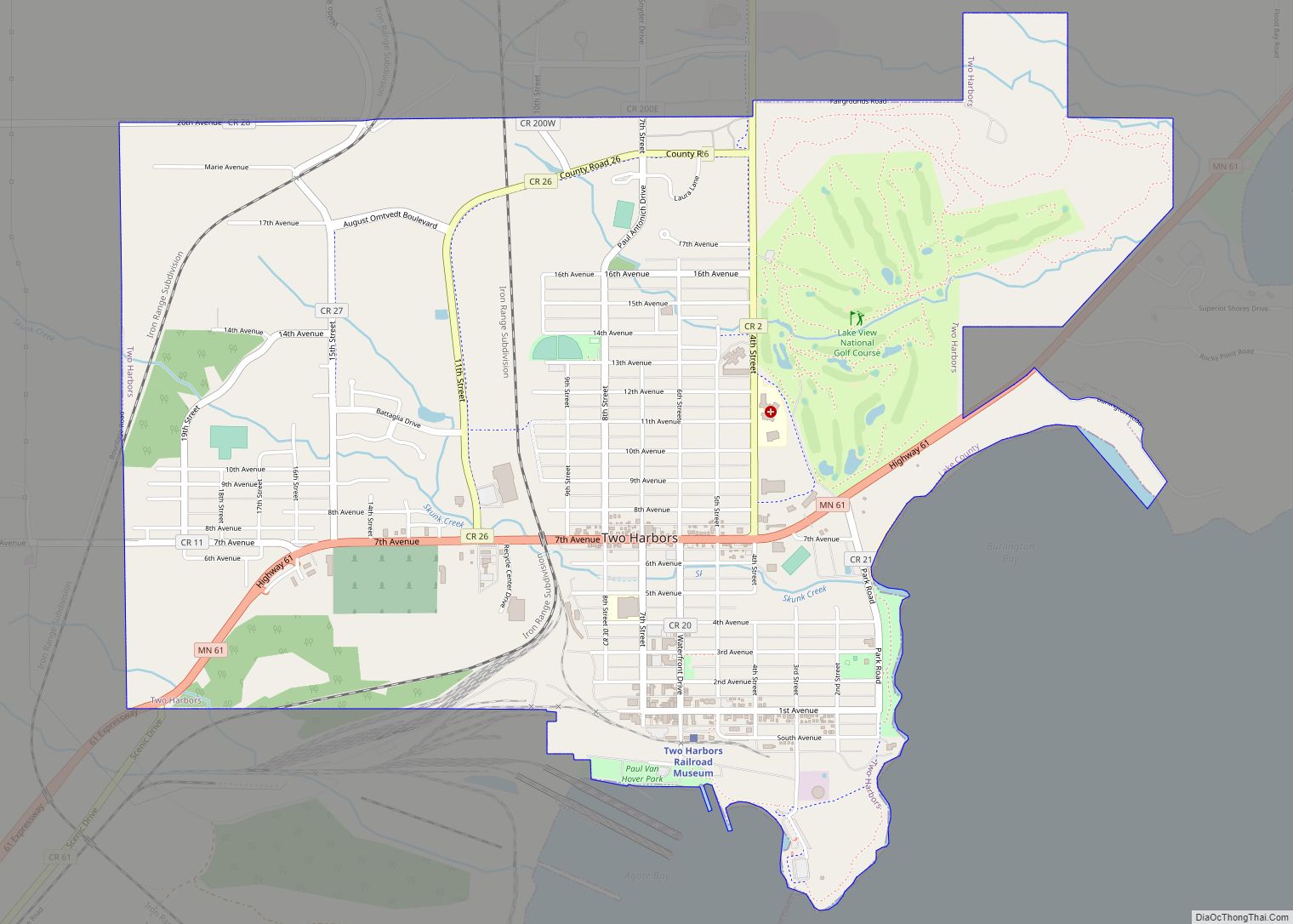
Two Harbors is a city in and the county seat of Lake County, Minnesota, United States, along the shore of Lake Superior. The population was 3,633 at the 2020 census. Minnesota State Highway 61 serves as a main route in Two Harbors. Gooseberry Falls State Park is 13 miles (21 km) to the northeast. The city ... Read more
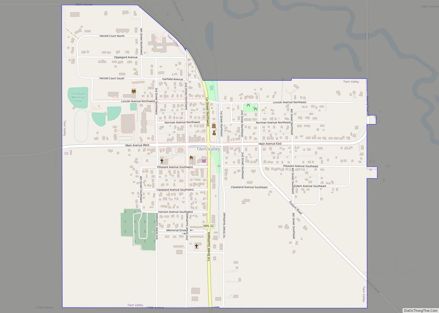
Twin Valley is a city in Norman County, Minnesota, United States, along the Wild Rice River. The population was 723 at the 2020 census. Minnesota State Highway 32 and County Highway 31 are two of the main routes in the community. Minnesota State Highway 200 is nearby. The Agassiz Recreational Trail passes through Twin Valley. ... Read more
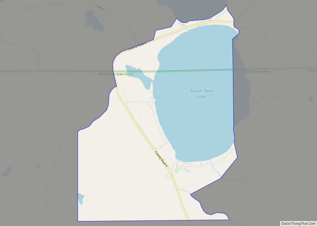
Twin Lakes is a census-designated place in the townships of Little Elbow and Twin Lakes, Mahnomen County, Minnesota, United States. Its population was 149 as of the 2010 census. Twin Lakes CDP overview: Name: Twin Lakes CDP LSAD Code: 57 LSAD Description: CDP (suffix) State: Minnesota County: Mahnomen County Elevation: 1,450 ft (440 m) Total Area: 4.27 sq mi ... Read more
Ulen (/ˈjuːlən/ YOO-lən) is a city in Clay County, Minnesota, United States, along the South Branch of the Wild Rice River. The population was 476 at the 2020 census. Near this small community, what may be an authentic Viking sword known as the Ulen sword was found in a field by Hans O. Hansen in ... Read more
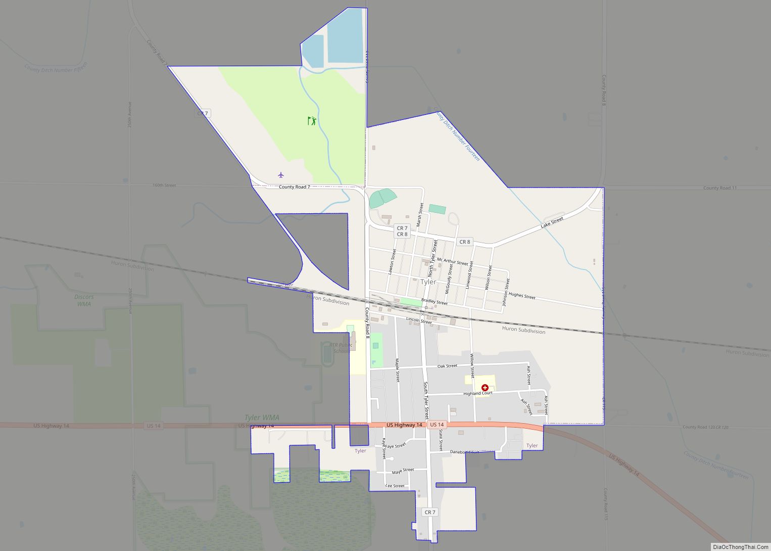
Tyler is a city in Lincoln County, Minnesota, United States. The population in was 1,143 at the 2010 census. Tyler city overview: Name: Tyler city LSAD Code: 25 LSAD Description: city (suffix) State: Minnesota County: Lincoln County Elevation: 1,742 ft (531 m) Total Area: 2.14 sq mi (5.55 km²) Land Area: 2.10 sq mi (5.44 km²) Water Area: 0.04 sq mi (0.11 km²) Total Population: 1,138 ... Read more
Underwood is a city in Otter Tail County, Minnesota, United States. The population was 356 at the 2020 census. Underwood city overview: Name: Underwood city LSAD Code: 25 LSAD Description: city (suffix) State: Minnesota County: Otter Tail County Founded: 1881 Incorporated: 1912 Elevation: 1,335 ft (407 m) Total Area: 0.59 sq mi (1.52 km²) Land Area: 0.59 sq mi (1.52 km²) Water Area: ... Read more
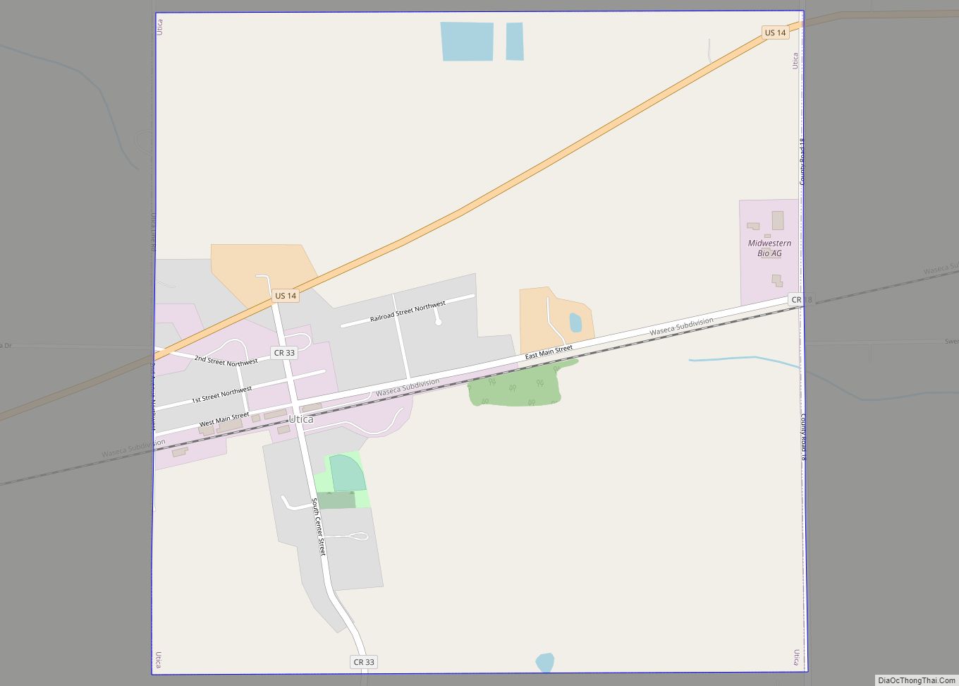
Utica is a city in Winona County, Minnesota, United States. The population was 266 at the 2020 census. Utica city overview: Name: Utica city LSAD Code: 25 LSAD Description: city (suffix) State: Minnesota County: Winona County Founded: 1866 Elevation: 1,175 ft (358 m) Total Area: 0.99 sq mi (2.56 km²) Land Area: 0.99 sq mi (2.56 km²) Water Area: 0.00 sq mi (0.00 km²) Total Population: ... Read more
Urbank is a city in Otter Tail County, Minnesota, United States. The population was 52 at the 2020 census. Urbank city overview: Name: Urbank city LSAD Code: 25 LSAD Description: city (suffix) State: Minnesota County: Otter Tail County Founded: 1903 Elevation: 1,480 ft (451 m) Total Area: 0.66 sq mi (1.72 km²) Land Area: 0.66 sq mi (1.71 km²) Water Area: 0.00 sq mi (0.00 km²) ... Read more
