Ulen (/ˈjuːlən/ YOO-lən) is a city in Clay County, Minnesota, United States, along the South Branch of the Wild Rice River. The population was 476 at the 2020 census.
Near this small community, what may be an authentic Viking sword known as the Ulen sword was found in a field by Hans O. Hansen in 1911. The sword is currently on display in the Ulen Museum. Ulen and the area surrounding is mostly inhabited by later generation Norwegian-Americans.
Ulen is the southern terminus of the Agassiz Recreational Trail, a 53-mile multi-use trail built on an abandoned railroad grade which has its northern terminus at Crookston, Minnesota. As of 2022, the mayor of Ulen is Mary A. Knopfler.
| Name: | Ulen city |
|---|---|
| LSAD Code: | 25 |
| LSAD Description: | city (suffix) |
| State: | Minnesota |
| County: | Clay County |
| Elevation: | 1,152 ft (351 m) |
| Total Area: | 1.07 sq mi (2.77 km²) |
| Land Area: | 1.07 sq mi (2.77 km²) |
| Water Area: | 0.00 sq mi (0.00 km²) |
| Total Population: | 476 |
| Population Density: | 444.86/sq mi (171.83/km²) |
| ZIP code: | 56585 |
| Area code: | 218 |
| FIPS code: | 2766136 |
| GNISfeature ID: | 0653486 |
| Website: | ulenmn.org |
Online Interactive Map
Click on ![]() to view map in "full screen" mode.
to view map in "full screen" mode.
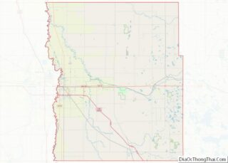
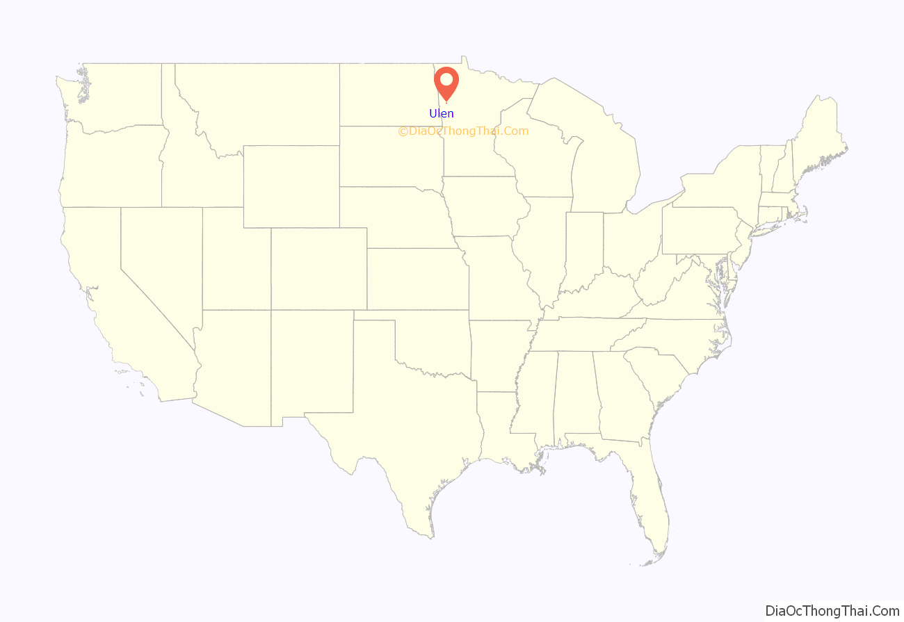
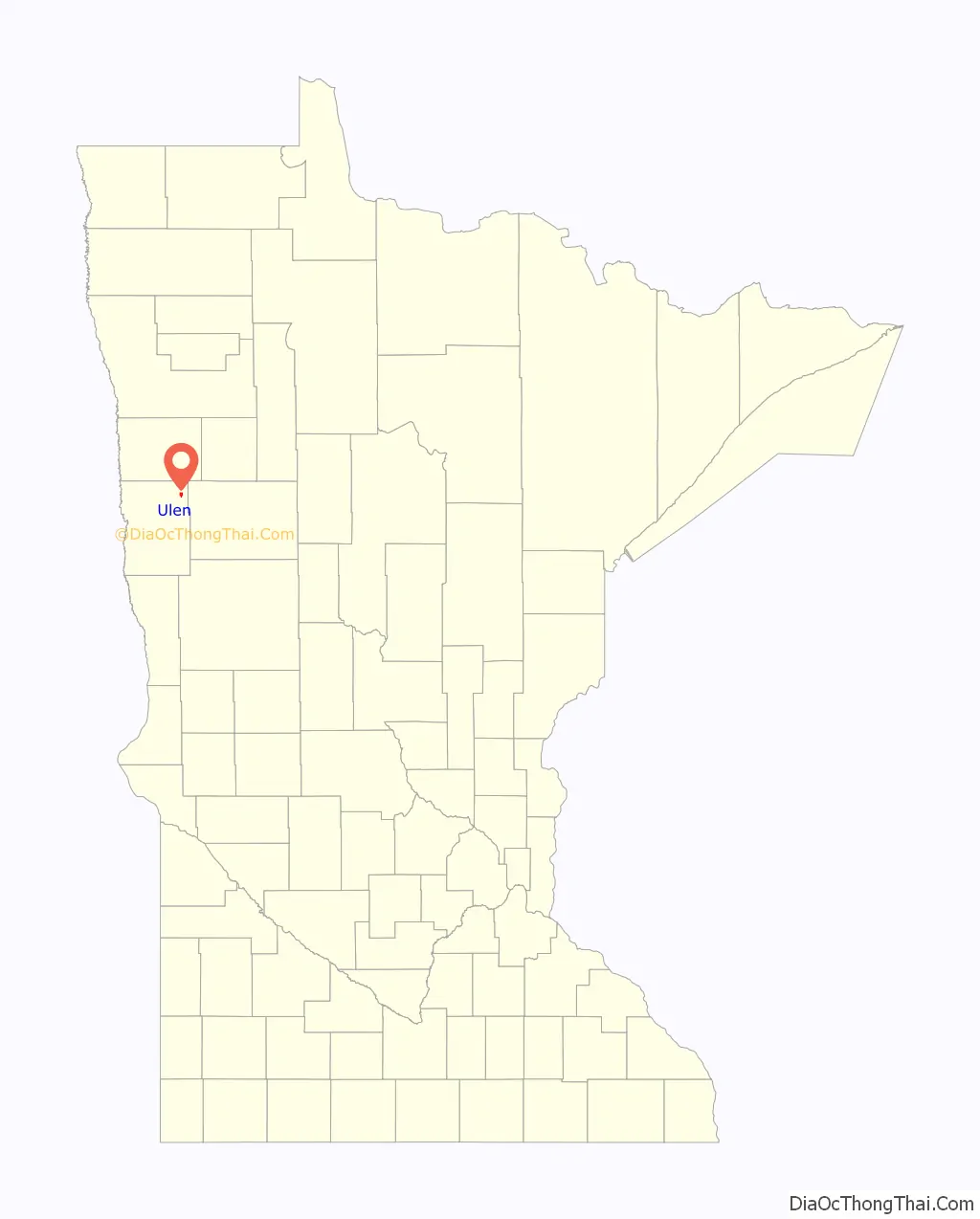
Ulen location map. Where is Ulen city?
History
Ulen Township was named after an early European to settle in the region, Ole Ulen. Ulen was incorporated as a village on November 12, 1896. A meeting was held on June 7, 1881 at the home of Nels Wiger for the purpose of organizing Ulen Township. Robert Hanson, Elias Rost and Ole Mellum were the election judges and Nels Wiger served as the clerk. One of the concerns of the early township officials was the building of roads. There were no tax funds for this purpose so each able-bodied man was required to work for two days a year building roads. The first road was laid out and built in 1883.
The post office was established in 1884, its name changing to Odneland in 1885 for Ole Odneland (Tallak Aaneland), postmaster and general store owner, although it was sometimes spelled Oneland and Onland. When the railroad came in 1886, Odneland’s (Aaneland’s) store was in the path of the rails, so it was moved to the east side of the tracks on the northwest corner of Regelstad’s farm. In 1866, the same year Ulen was incorporated, the Duluth and Manitoba Railway company, a subsidiary of the Northern Pacific Railway, built the railroad between what is now known as Manitoba Junction and Red Lake Falls, taking the railroad directly through Ulen. Ole Asleson platted a townsite, and the name was changed to Ulen with Odneland remaining as postmaster until the post office was reorganized in 1887 and Ole Christian Melbye became postmaster in his grocery store; Melbye moved into the first house built in village limits in 1887. Ulen came to be mostly inhabited by Norwegian immigrants and the town continues to hold on to its nordic identity.
The Ulen Historical Society was founded in September 1963. In 2004 a new Ulen Historical Society was organized.
The Ulen Historical Society runs the Ulen Museum, home to the Ulen Sword. The Ulen Sword is 19th century sword, once believed to be a Viking sword, which the town takes great pride in. The sword was found by Hans O. Hansen on his farm while plowing in 1911. The former name of the Ulen Museum was the Viking Sword Museum.
The town has been able to grow slowly over the years in part thanks to Northwestern Bank. In 1941, the bank moved to Ulen and changed its name to Northwestern Bank. One of the historic events of the bank occurred in 1958 when the bank reached 1 million dollar figure in deposits. This first branch in Ulen is still economically important. Over the years it has been slowly able to grow and expand. Eventually starting branches in Moorhead and other rural communities in northwestern Minnesota. Their branch in Ulen however has still been able to thrive and is an important business in the local economy and community, providing crucial service.
In 2005 Ulen needed to get the arsenic out of its water. Wells supplying the city’s water had high concentrations of the chemical-more than twice the treatment standard of less than 10 parts per billion. Also the city was experiencing too many water main breaks, and its aging infrastructure needed replacing. As a result, Moore Engineering planned and designed a gravity filter system to remove arsenic from the water supply and made plans to replace aging water mains. The city’s new water treatment plant removed arsenic to a level of less than 5 parts per billion, 50 percent more treatment than required. Grants and loans, including a $600,000 grant from the Small Cities Community Development program, helped pay for the improvements, ensuring water safety.
Historically known as an agricultural community, Ulen continues to flourish with the growth of agricultural and small family-owned businesses. West Central Ag Service operates the grain elevator in Ulen
Ulen Road Map

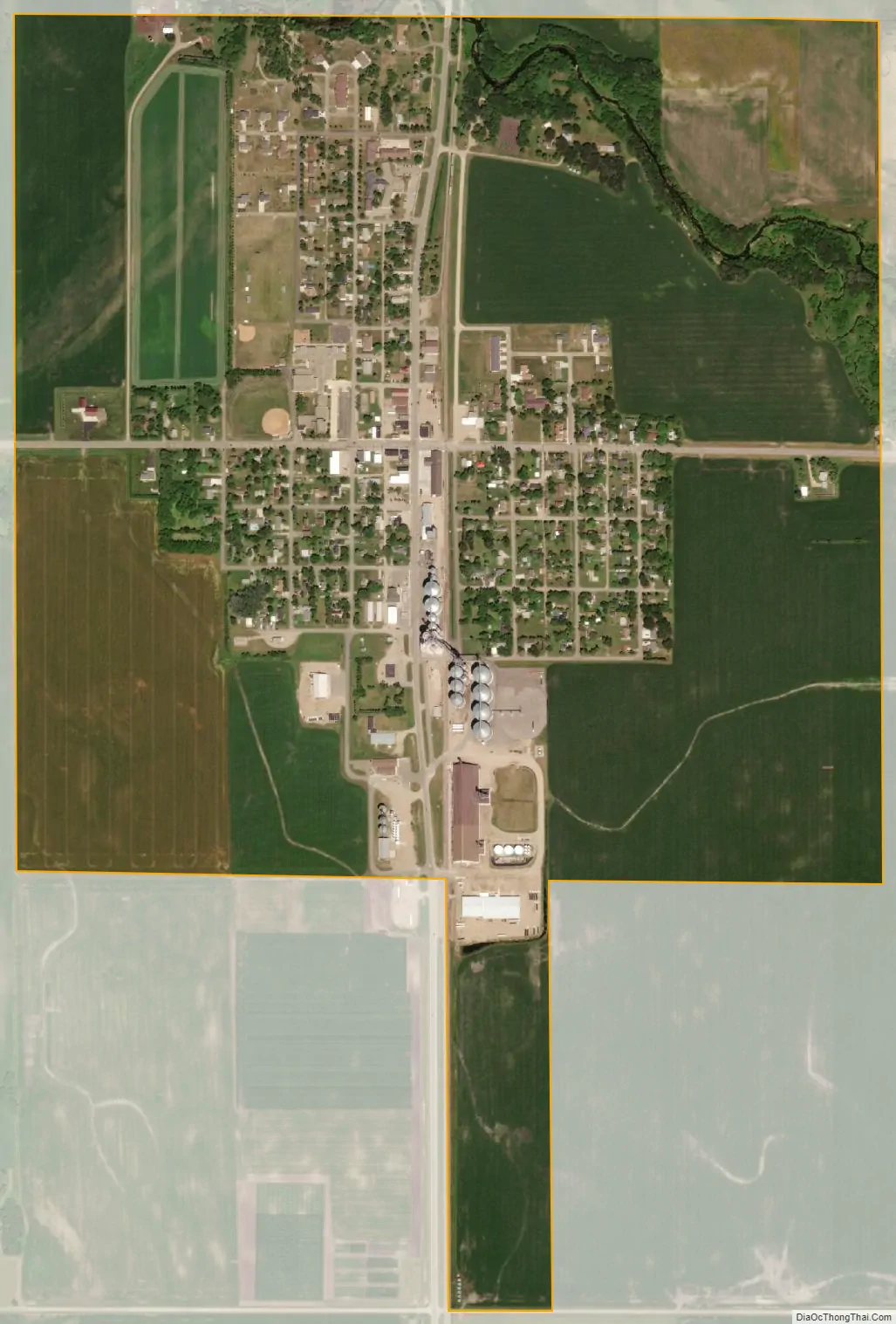
Ulen city Satellite Map
Geography
Ulen is a small agricultural town on the prairie of western Minnesota in Clay County, located about 40 miles east of Fargo, North Dakota. According to the United States Census Bureau, the city has a total area of 1.07 square miles (2.77 km), all land. State Highway 32 serves as a major arterial in the community. Ulen’s zip code is 56585. Ulen is the southern terminus of the Agassiz Recreational Trail, a 53-mile multi-use trail built on an abandoned railroad grade which has its northern terminus at Crookston, Minnesota.
See also
Map of Minnesota State and its subdivision:- Aitkin
- Anoka
- Becker
- Beltrami
- Benton
- Big Stone
- Blue Earth
- Brown
- Carlton
- Carver
- Cass
- Chippewa
- Chisago
- Clay
- Clearwater
- Cook
- Cottonwood
- Crow Wing
- Dakota
- Dodge
- Douglas
- Faribault
- Fillmore
- Freeborn
- Goodhue
- Grant
- Hennepin
- Houston
- Hubbard
- Isanti
- Itasca
- Jackson
- Kanabec
- Kandiyohi
- Kittson
- Koochiching
- Lac qui Parle
- Lake
- Lake of the Woods
- Lake Superior
- Le Sueur
- Lincoln
- Lyon
- Mahnomen
- Marshall
- Martin
- McLeod
- Meeker
- Mille Lacs
- Morrison
- Mower
- Murray
- Nicollet
- Nobles
- Norman
- Olmsted
- Otter Tail
- Pennington
- Pine
- Pipestone
- Polk
- Pope
- Ramsey
- Red Lake
- Redwood
- Renville
- Rice
- Rock
- Roseau
- Saint Louis
- Scott
- Sherburne
- Sibley
- Stearns
- Steele
- Stevens
- Swift
- Todd
- Traverse
- Wabasha
- Wadena
- Waseca
- Washington
- Watonwan
- Wilkin
- Winona
- Wright
- Yellow Medicine
- Alabama
- Alaska
- Arizona
- Arkansas
- California
- Colorado
- Connecticut
- Delaware
- District of Columbia
- Florida
- Georgia
- Hawaii
- Idaho
- Illinois
- Indiana
- Iowa
- Kansas
- Kentucky
- Louisiana
- Maine
- Maryland
- Massachusetts
- Michigan
- Minnesota
- Mississippi
- Missouri
- Montana
- Nebraska
- Nevada
- New Hampshire
- New Jersey
- New Mexico
- New York
- North Carolina
- North Dakota
- Ohio
- Oklahoma
- Oregon
- Pennsylvania
- Rhode Island
- South Carolina
- South Dakota
- Tennessee
- Texas
- Utah
- Vermont
- Virginia
- Washington
- West Virginia
- Wisconsin
- Wyoming