Two Harbors is a city in and the county seat of Lake County, Minnesota, United States, along the shore of Lake Superior. The population was 3,633 at the 2020 census. Minnesota State Highway 61 serves as a main route in Two Harbors. Gooseberry Falls State Park is 13 miles (21 km) to the northeast. The city is home to a cargo shipping port for mined iron ore.
| Name: | Two Harbors city |
|---|---|
| LSAD Code: | 25 |
| LSAD Description: | city (suffix) |
| State: | Minnesota |
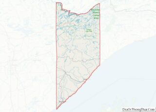
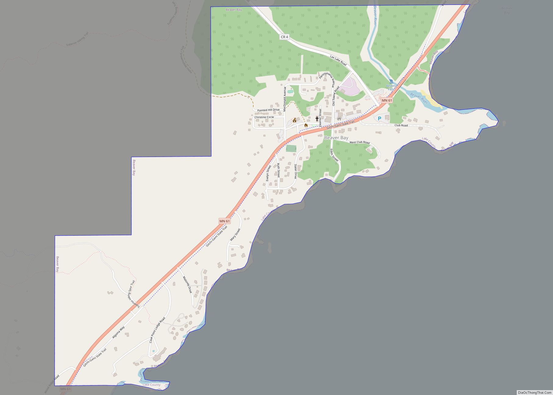
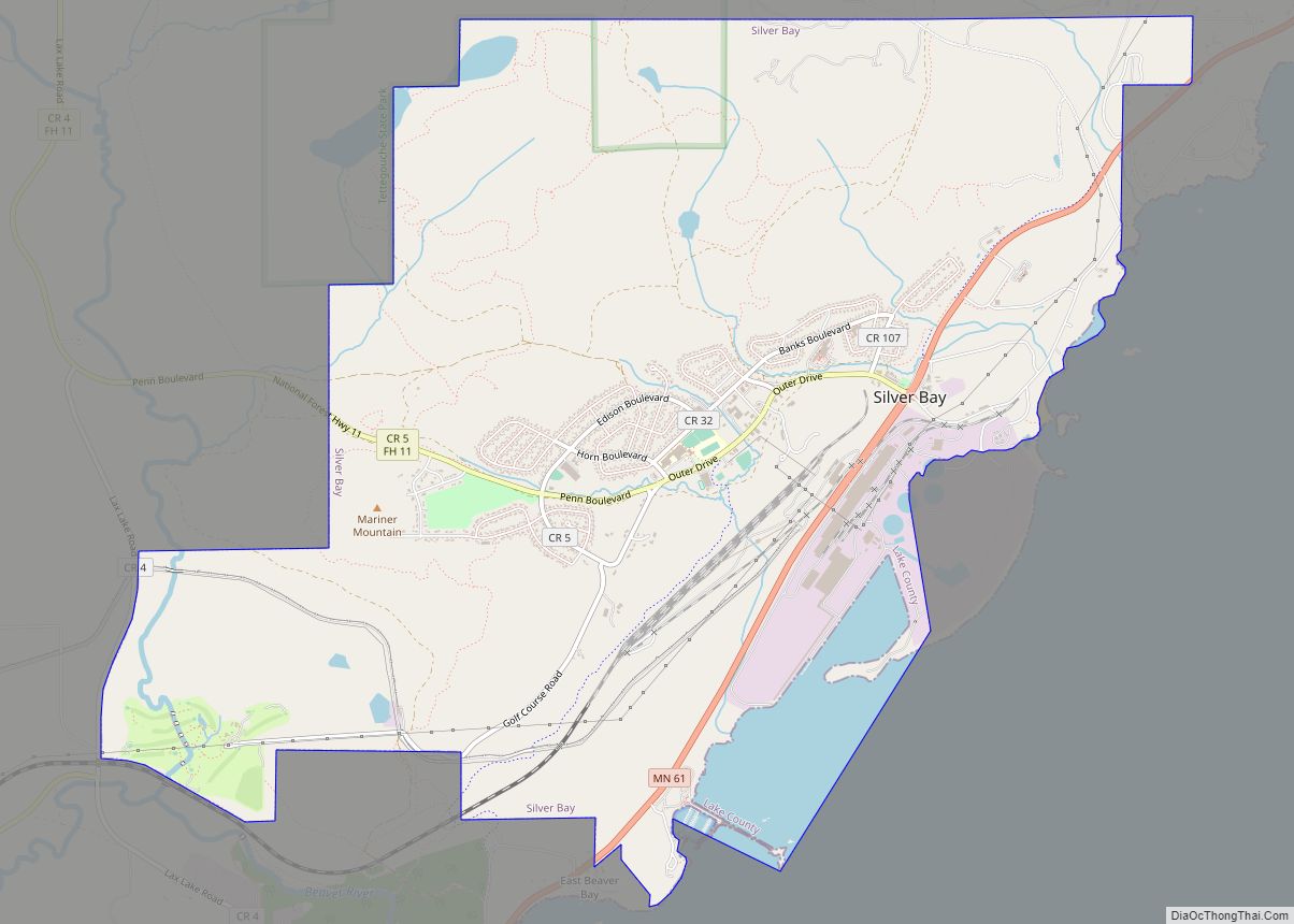
| County: | Lake County |
| Elevation: | 673 ft (205 m) |
| Total Area: | 3.28 sq mi (8.50 km²) |
| Land Area: | 3.27 sq mi (8.48 km²) |
| Water Area: | 0.01 sq mi (0.02 km²) |
| Total Population: | 3,633 |
| Population Density: | 1,109.99/sq mi (428.58/km²) |
| ZIP code: | 55616 |
| Area code: | 218 |
| FIPS code: | 2765956 |
| GNISfeature ID: | 0658799 |
| Website: | twoharborsmn.gov |
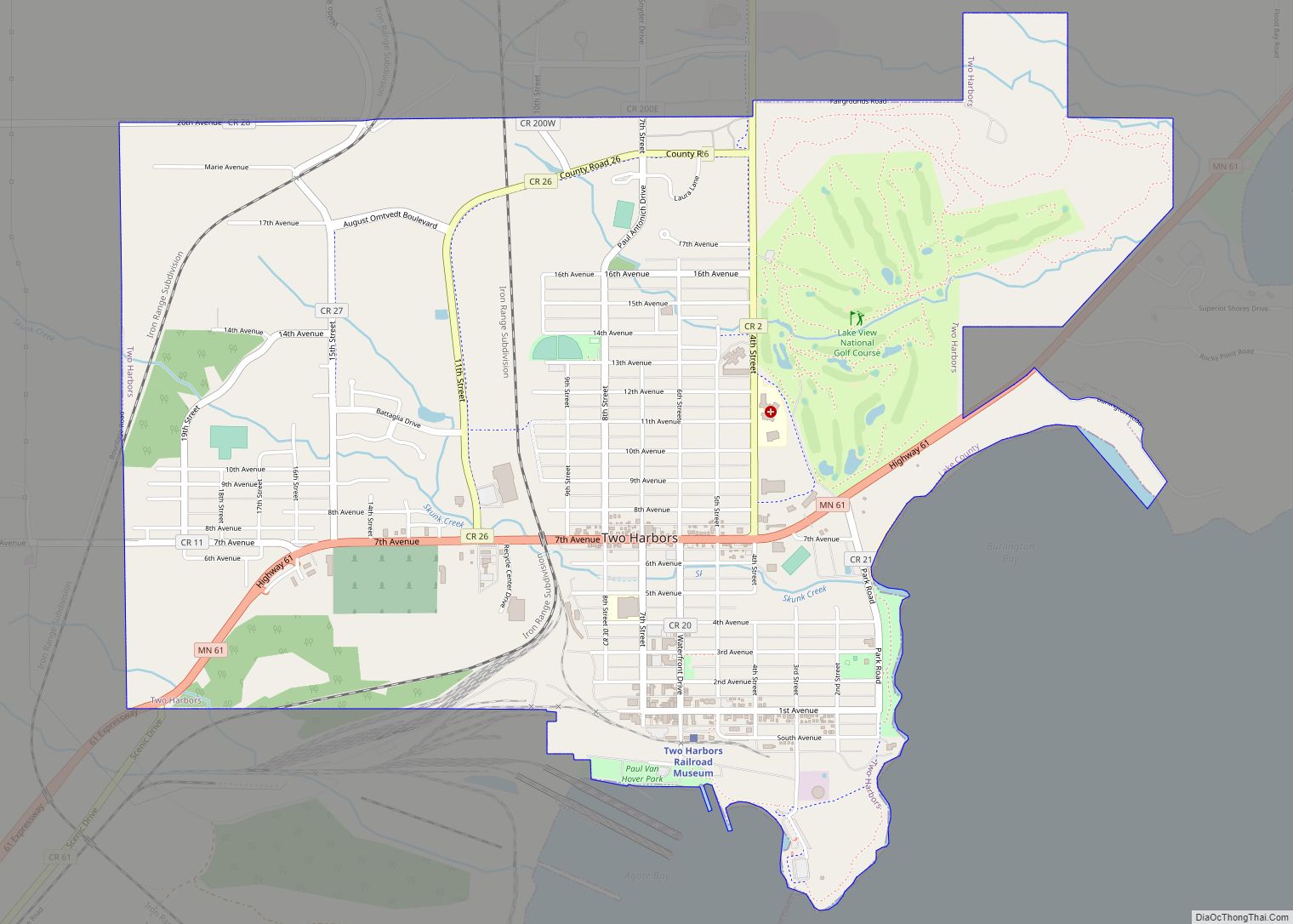
Online Interactive Map
Click on ![]() to view map in "full screen" mode.
to view map in "full screen" mode.
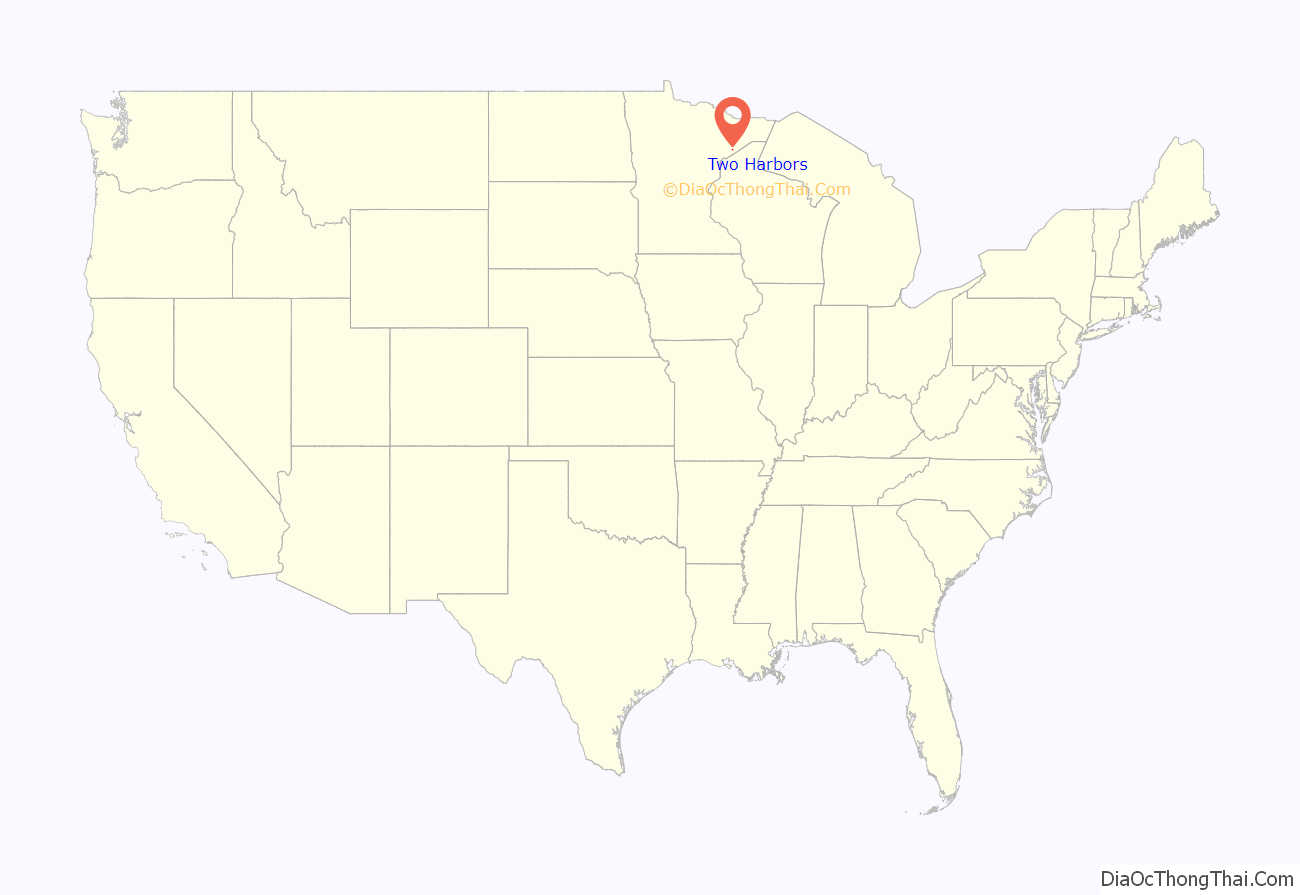
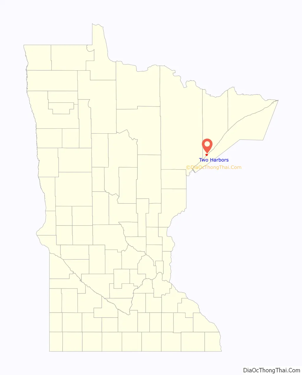
Two Harbors location map. Where is Two Harbors city?
History
In the early years Two Harbors consisted of two separate communities, Agate Bay and Burlington. The village of Burlington along Burlington Bay was platted in 1856, first incorporated on May 23, 1857; it had a post office that operated from 1856 until 1862. The first residence constructed in Agate Bay was owned by Thomas Sexton (1854); it was a 14-by-16-foot shack. Early settlers lived in primitive conditions, which was common for both the area and time. Their homes were made of logs and had dirt floors. Diets often consisted of homegrown vegetables and animals caught in the area (at that time there were many dense forests, so deer meat was not an abundant food source). The village of Agate Bay was created with the construction camp as work on the new railroad began in 1883. The village of Two Harbors was platted in 1885 but not incorporated until 1888. Early transportation to the village was by boats under contract with the new Duluth and Iron Range Railroad, and by horse. It took one day to get from Duluth to Two Harbors. By 1886 the D&IR completed the Lake Division connecting Duluth and Two Harbors with passenger service that extended to Ely. Thirty-five logging camps were set up within the vicinity, one of them on Fourth Avenue. On February 26, 1907, the village reincorporated as the City of Two Harbors.
The town’s history is included in the Lake County Historical Depot Museum.
Whiskey Row
By 1883 the Minnesota Iron Company had purchased all but four acres of Thomas Sexton’s land around Agate Bay. Sexton leased his remaining four acres to merchants seeking to capitalize on the 600-man workforce arriving to build the Duluth & Iron Range Railroad. He divided his four acres into 32 lots. As with any frontier town of the day it was a largely male population. The infamous four-acre plot earned the nickname “Whiskey Row”, and was said to exist for the sole purpose of “relieving a man from his pay”.
Contrary to popular myth, Whiskey Row was not destroyed by a fire in 1888. There was a fire but it occurred before the first load of ore arrived in July 1884 and only seven buildings were damaged. It was reported that the merchants affected were in Duluth the next day purchasing materials to rebuild. Whiskey Row’s demise occurred the following year.
The railroad rapidly expanded its rail and shipping operations and needed all of the shoreline for its new coal handling and storage facility. By 1885 the Minnesota Iron Company convinced Sexton to sell his remaining four acres along Agate Bay. The railroad then simply evicted the tenants and moved any of the salvageable buildings inland. There are several homes in “east” Two Harbors whose original structures were on Whiskey Row.
Railroad
Had it not been for the discovery of nearby iron ore, Two Harbors would not exist. The Minnesota Iron Company bought 17,000 acres (69 km) of land in order to build their railroad. In Agate Bay (Two Harbors) most of the land was bought from Sexton, who by that time had owned the land for 20 years.
Various locations were considered for the railroad terminus and shipping port, but Agate Bay was chosen because it was closer to the iron ore site and had a clay bottom bay, while most others were rocky.
As the track was being developed, the main transportation route was Lake Superior. This proved difficult when heavy loads such as railroad engines nearly sank the scows or tugs that carried them. The contractor John. S. Wolfe was told he would receive a bonus of $50,000 if the railroad was completed by August 1, 1884. Because that was a Friday, and construction workers had strong superstitions about Fridays, it became important that the construction be completed by July 31. On that day, the first iron ore cars left Agate Bay early in the morning, along with a caboose for President Tower to ride in on the return trip. The railway between Duluth and Two Harbors was completed in 1886.
The North Shore Scenic Railroad operates a six-hour excursion starting in Duluth that has a two-hour break in Two Harbors.
A 2-6-0 Mogul class steam locomotive with the first style of ore cars and caboose is on display by the historic Duluth and Iron Range depot.
A 2-8-8-4 Yellowstone class steam locomotive is on display at Two Harbors. It ranks among the largest steam locomotives ever built.
Mayoral recall
In 2022, incumbent mayor Chris Swanson was recalled; over 86% of voters voted to remove him after a series of controversies. City Council President Ben Redden has taken over the mayor’s duties pending a special election to choose a replacement.
Two Harbors Road Map
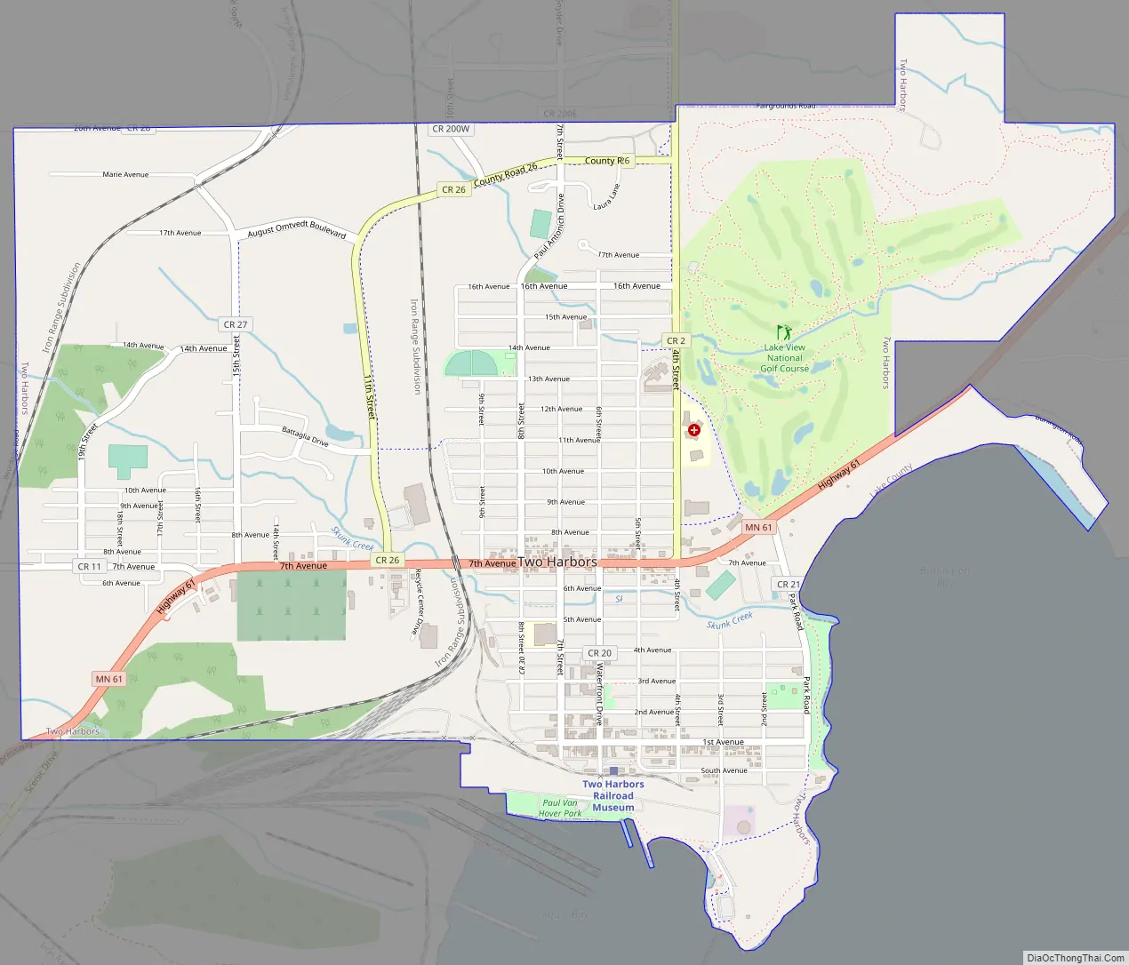
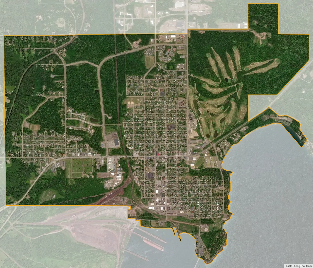
Two Harbors city Satellite Map
Geography
According to the United States Census Bureau, the city has a total area of 3.30 square miles (8.55 km), all land.
Climate
Two Harbors is 20 miles northeast of the city of Duluth. It is along Lake Superior, which contributes the two natural harbors for which Two Harbors is named, Burlington Bay and Agate Bay. The warmest month in the year is July, the coldest January. The record high temperature was 99 °F (37 °C) in 1948, the record low −36 °F (−38 °C) in 1996. According to the Minnesota Department of Natural Resources (DNR), Two Harbors is in a region called the Laurentian Mixed Forest Province, which contains broad areas of coniferous forest, mixed hardwood, and conifer bogs and swamps. The region averages 21 to 32 inches (810 mm) of precipitation per year and has an average temperature of 34 to 40 °F (4 °C).
See also
Map of Minnesota State and its subdivision:- Aitkin
- Anoka
- Becker
- Beltrami
- Benton
- Big Stone
- Blue Earth
- Brown
- Carlton
- Carver
- Cass
- Chippewa
- Chisago
- Clay
- Clearwater
- Cook
- Cottonwood
- Crow Wing
- Dakota
- Dodge
- Douglas
- Faribault
- Fillmore
- Freeborn
- Goodhue
- Grant
- Hennepin
- Houston
- Hubbard
- Isanti
- Itasca
- Jackson
- Kanabec
- Kandiyohi
- Kittson
- Koochiching
- Lac qui Parle
- Lake
- Lake of the Woods
- Lake Superior
- Le Sueur
- Lincoln
- Lyon
- Mahnomen
- Marshall
- Martin
- McLeod
- Meeker
- Mille Lacs
- Morrison
- Mower
- Murray
- Nicollet
- Nobles
- Norman
- Olmsted
- Otter Tail
- Pennington
- Pine
- Pipestone
- Polk
- Pope
- Ramsey
- Red Lake
- Redwood
- Renville
- Rice
- Rock
- Roseau
- Saint Louis
- Scott
- Sherburne
- Sibley
- Stearns
- Steele
- Stevens
- Swift
- Todd
- Traverse
- Wabasha
- Wadena
- Waseca
- Washington
- Watonwan
- Wilkin
- Winona
- Wright
- Yellow Medicine
- Alabama
- Alaska
- Arizona
- Arkansas
- California
- Colorado
- Connecticut
- Delaware
- District of Columbia
- Florida
- Georgia
- Hawaii
- Idaho
- Illinois
- Indiana
- Iowa
- Kansas
- Kentucky
- Louisiana
- Maine
- Maryland
- Massachusetts
- Michigan
- Minnesota
- Mississippi
- Missouri
- Montana
- Nebraska
- Nevada
- New Hampshire
- New Jersey
- New Mexico
- New York
- North Carolina
- North Dakota
- Ohio
- Oklahoma
- Oregon
- Pennsylvania
- Rhode Island
- South Carolina
- South Dakota
- Tennessee
- Texas
- Utah
- Vermont
- Virginia
- Washington
- West Virginia
- Wisconsin
- Wyoming