Map of Wilton city, Minnesota

Map of Wilton city, Minnesota

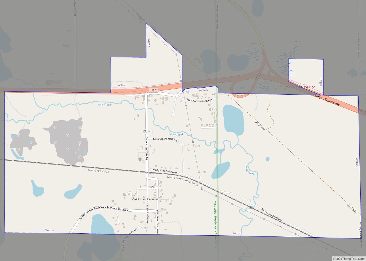
Wilton is a city in Beltrami County, Minnesota, United States. The population was 204 at the 2010 census. Wilton is considered a bedroom community of Bemidji. Wilton city overview: Name: Wilton city LSAD Code: 25 LSAD Description: city (suffix) State: Minnesota County: Beltrami County Elevation: 1,391 ft (424 m) Total Area: 2.88 sq mi (7.47 km²) Land Area: 2.80 sq mi (7.24 km²) … Read more

Map of Winsted city, Minnesota

Map of Winsted city, Minnesota

Winsted is a city in McLeod County, Minnesota, United States. The population was 2,355 at the 2010 census. Winsted city overview: Name: Winsted city LSAD Code: 25 LSAD Description: city (suffix) State: Minnesota County: McLeod County Elevation: 1,027 ft (313 m) Total Area: 1.91 sq mi (4.94 km²) Land Area: 1.89 sq mi (4.90 km²) Water Area: 0.01 sq mi (0.04 km²) Total Population: 2,240 Population … Read more

Map of Winona city, Minnesota

Map of Winona city, Minnesota

Winona is a city in and the county seat of Winona County, Minnesota, United States. Located in bluff country on the Mississippi River, its most noticeable physical landmark is Sugar Loaf. The city is named after legendary figure Winona, who some sources claimed was the first-born daughter of Chief Wapasha of the Dakota people. The … Read more

Map of Winnebago city, Minnesota

Map of Winnebago city, Minnesota

Winnebago is a city in Faribault County, Minnesota, United States. The population was 1,391 at the 2020 census. Winnebago city overview: Name: Winnebago city LSAD Code: 25 LSAD Description: city (suffix) State: Minnesota County: Faribault County Elevation: 1,112 ft (339 m) Total Area: 2.36 sq mi (6.11 km²) Land Area: 2.35 sq mi (6.08 km²) Water Area: 0.01 sq mi (0.03 km²) Total Population: 1,391 Population … Read more

Map of Wolf Lake city, Minnesota

Map of Wolf Lake city, Minnesota

Wolf Lake is a city in Becker County, Minnesota, United States. The population was 71 at the 2020 census. Wolf Lake city overview: Name: Wolf Lake city LSAD Code: 25 LSAD Description: city (suffix) State: Minnesota County: Becker County Elevation: 1,575 ft (480 m) Total Area: 0.32 sq mi (0.83 km²) Land Area: 0.32 sq mi (0.83 km²) Water Area: 0.00 sq mi (0.00 km²) Total … Read more

Map of Winton city, Minnesota

Map of Winton city, Minnesota

Winton is a city in Saint Louis County, Minnesota, United States. The population was 172 at the 2010 census. The city is home to a small hydroelectric dam on the edge of Garden Lake, one of 11 stations owned by Minnesota Power. State Highway 169 serves as a main route into Winton. It is 4 … Read more

Map of Winthrop city, Minnesota

Map of Winthrop city, Minnesota

Winthrop is a city in Sibley County, Minnesota, United States. The population was 1,399 at the 2010 census. Winthrop city overview: Name: Winthrop city LSAD Code: 25 LSAD Description: city (suffix) State: Minnesota County: Sibley County Elevation: 1,037 ft (316 m) Total Area: 1.27 sq mi (3.30 km²) Land Area: 1.27 sq mi (3.30 km²) Water Area: 0.00 sq mi (0.00 km²) Total Population: 1,332 Population … Read more

Map of Woodbury city, Minnesota

Map of Woodbury city, Minnesota

Woodbury is a city in Washington County, Minnesota, United States, eight miles (13 km) east of Saint Paul along Interstate 94. It is part of the Minneapolis–Saint Paul metropolitan area. The population was 75,102 at the 2020 census, making it Minnesota’s eighth most populous city. Woodbury city overview: Name: Woodbury city LSAD Code: 25 LSAD … Read more

Map of Wood Lake city

Map of Wood Lake city, Minnesota

Wood Lake is a city in Yellow Medicine County, Minnesota, United States. The population was 439 at the 2010 census. Wood Lake city overview: Name: Wood Lake city LSAD Code: 25 LSAD Description: city (suffix) State: Minnesota County: Yellow Medicine County Elevation: 1,060 ft (320 m) Total Area: 0.75 sq mi (1.95 km²) Land Area: 0.75 sq mi (1.95 km²) Water Area: 0.00 sq mi … Read more

Map of Wolverton city

Map of Wolverton city

Wolverton is a city in Wilkin County, Minnesota, United States. The population was 128 at the 2020 census. It is part of the Wahpeton, ND—MN Micropolitan Statistical Area. Wolverton city overview: Name: Wolverton city LSAD Code: 25 LSAD Description: city (suffix) State: Minnesota County: Wilkin County Elevation: 932 ft (284 m) Total Area: 0.35 sq mi (0.90 km²) Land Area: … Read more

Map of Woodland city, Minnesota

Map of Woodland city, Minnesota

Woodland is a community in Hennepin County, Minnesota, United States, with lake shore property on Lake Minnetonka. The population was 437 at the 2010 census. The first settlers arrived in 1857, when Woodland was part of Minnetonka Township. The land was formally platted in 1882 and developed through the 1890s. Woodland was incorporated as the … Read more

Map of Worthington city, Minnesota

Map of Worthington city, Minnesota

Worthington is a city in and the county seat of Nobles County, Minnesota, United States. The population was 13,947 at the time of the 2020 census. The city’s site was first settled in the 1870s as Okabena Station on a line of the Chicago, St. Paul, Minneapolis and Omaha Railway, later the Chicago and North … Read more