Winona is a city in and the county seat of Winona County, Minnesota, United States. Located in bluff country on the Mississippi River, its most noticeable physical landmark is Sugar Loaf. The city is named after legendary figure Winona, who some sources claimed was the first-born daughter of Chief Wapasha of the Dakota people. The population was 25,948 at the 2020 census.
| Name: | Winona city |
|---|---|
| LSAD Code: | 25 |
| LSAD Description: | city (suffix) |
| State: | Minnesota |
| County: | Winona County |
| Elevation: | 655*–1,247** ft (200*–380** m) |
| Total Area: | 24.32 sq mi (62.98 km²) |
| Land Area: | 19.03 sq mi (49.29 km²) |
| Water Area: | 5.29 sq mi (13.70 km²) |
| Total Population: | 25,948 |
| Population Density: | 1,363.53/sq mi (526.46/km²) |
| ZIP code: | 55987 |
| Area code: | 507 |
| FIPS code: | 2771032 |
| GNISfeature ID: | 0654269 |
| Website: | cityofwinona.com |
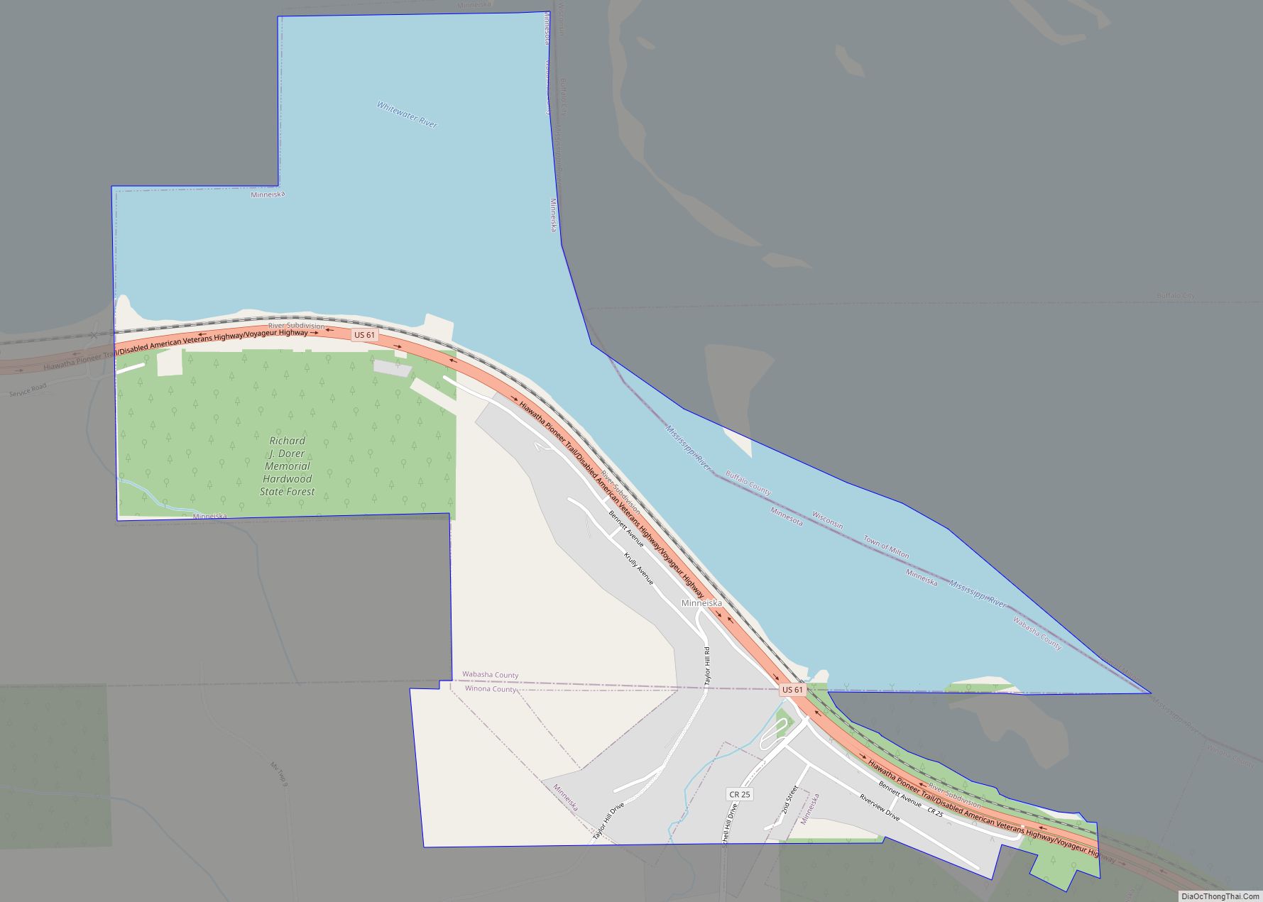
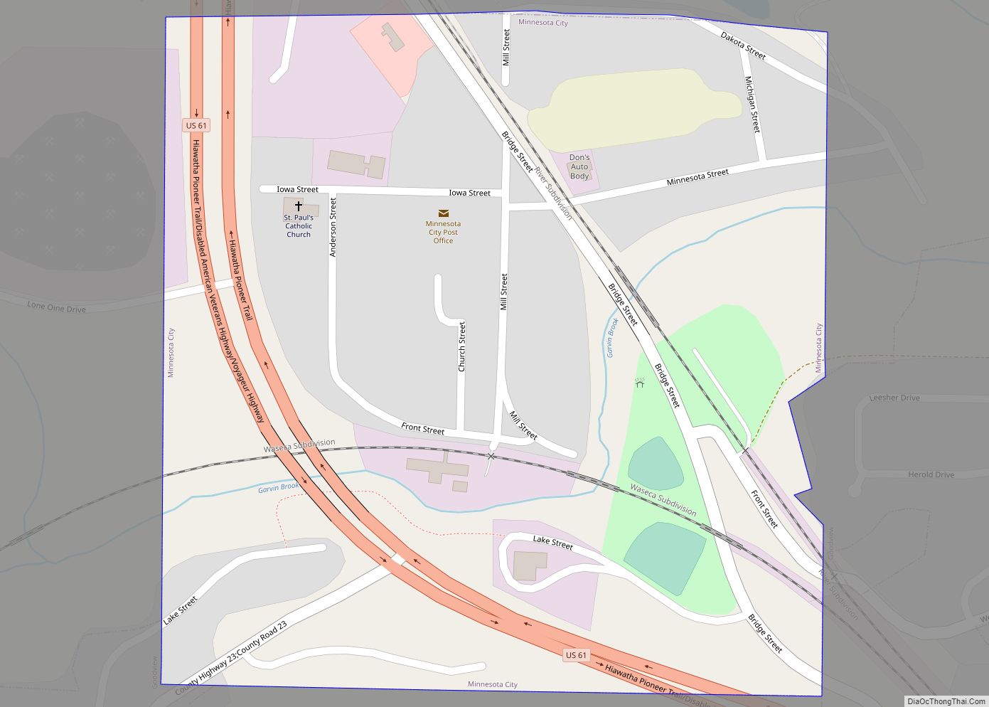
Online Interactive Map
Click on ![]() to view map in "full screen" mode.
to view map in "full screen" mode.
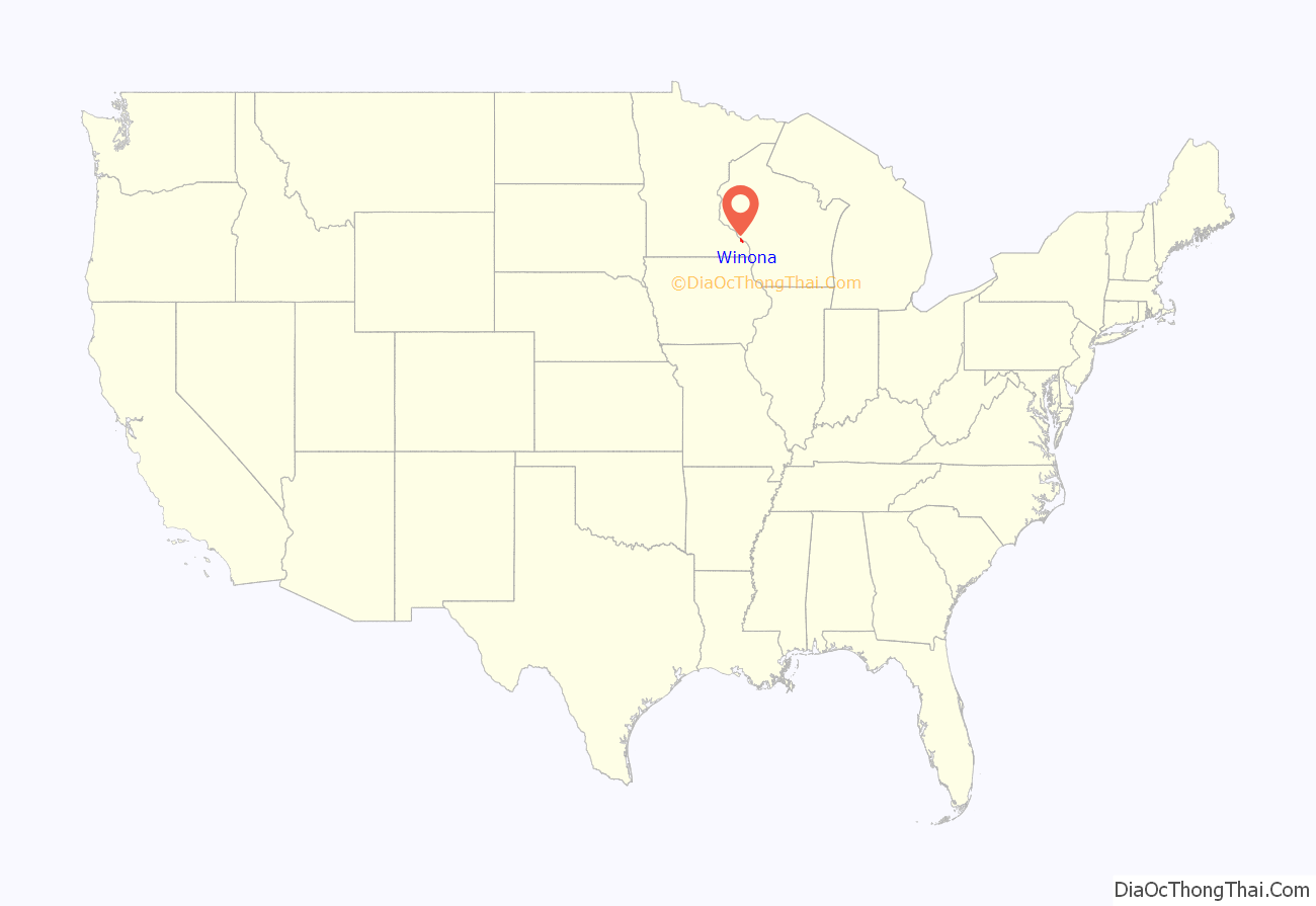
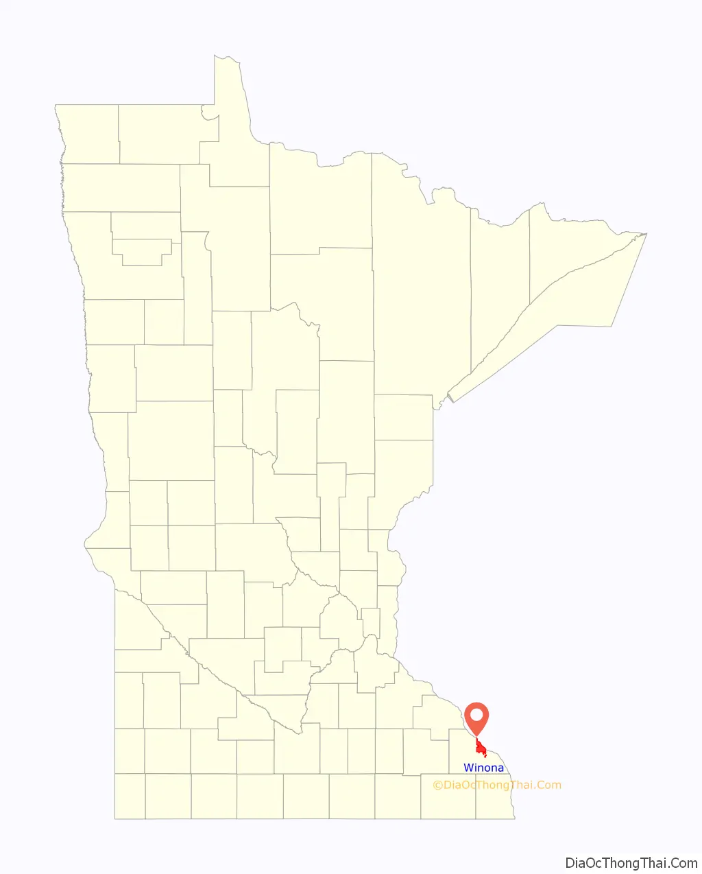
Winona location map. Where is Winona city?
History
The city of Winona began on the site of a Native American village named Keoxa. The seat of the Wapasha dynasty, Keoxa was home to a Mdewakanton band of the eastern Sioux.
European immigrants settled the area in 1851 and laid out the town into lots in 1852 and 1853. The original settlers were immigrants from New England. The population increased from 815 in December, 1855, to 3,000 in December, 1856. In 1856 German immigrants arrived as well. The Germans and the Yankees worked together planting trees and building businesses based on lumber, wheat, steamboating and railroads. Between 1859 and 1900, some 5,000 Poles and closely related Kashubians emigrated to Winona, making up one quarter of the population. Since 80% of them were Kashubians, Winona became known as the “Kashubian Capital of America”. As a result of the influx of Polish Catholic immigrants, the Church of St. Stanislaus (now Basilica of St. Stanislaus Kostka) was built. For a time, Winona had more millionaires than any other city of its size in the United States.
The railroad and steamboat transportation industries helped Winona grow into a small city that diversified into wheat milling, and lumber production. In 1856, more than 1,300 steamboats stopped at Winona. The Winona and St. Peter Railroad first segment of 11 miles (18 km) from Winona to Stockton, Minnesota was completed by the end of 1862. Winona then had the second operational railroad in Minnesota, after the St. Paul and Pacific Line from Saint Paul to St. Anthony Falls. In December 1870, the Mississippi River was bridged at Winona by the Winona Rail Bridge. In 1892, a wagon toll-bridge over the Mississippi, a steel high-bridge, was completed and remained in service until the opening of the Main Channel Bridge in 1942.
Winona has two historic districts listed on the National Register of Historic Places that combine into a single local historic district administered by the city’s Heritage Preservation Commission.
A bandshell was completed in 1924 for outdoor musical performances and events. The Winona Municipal Bands holds concerts there during the summer.
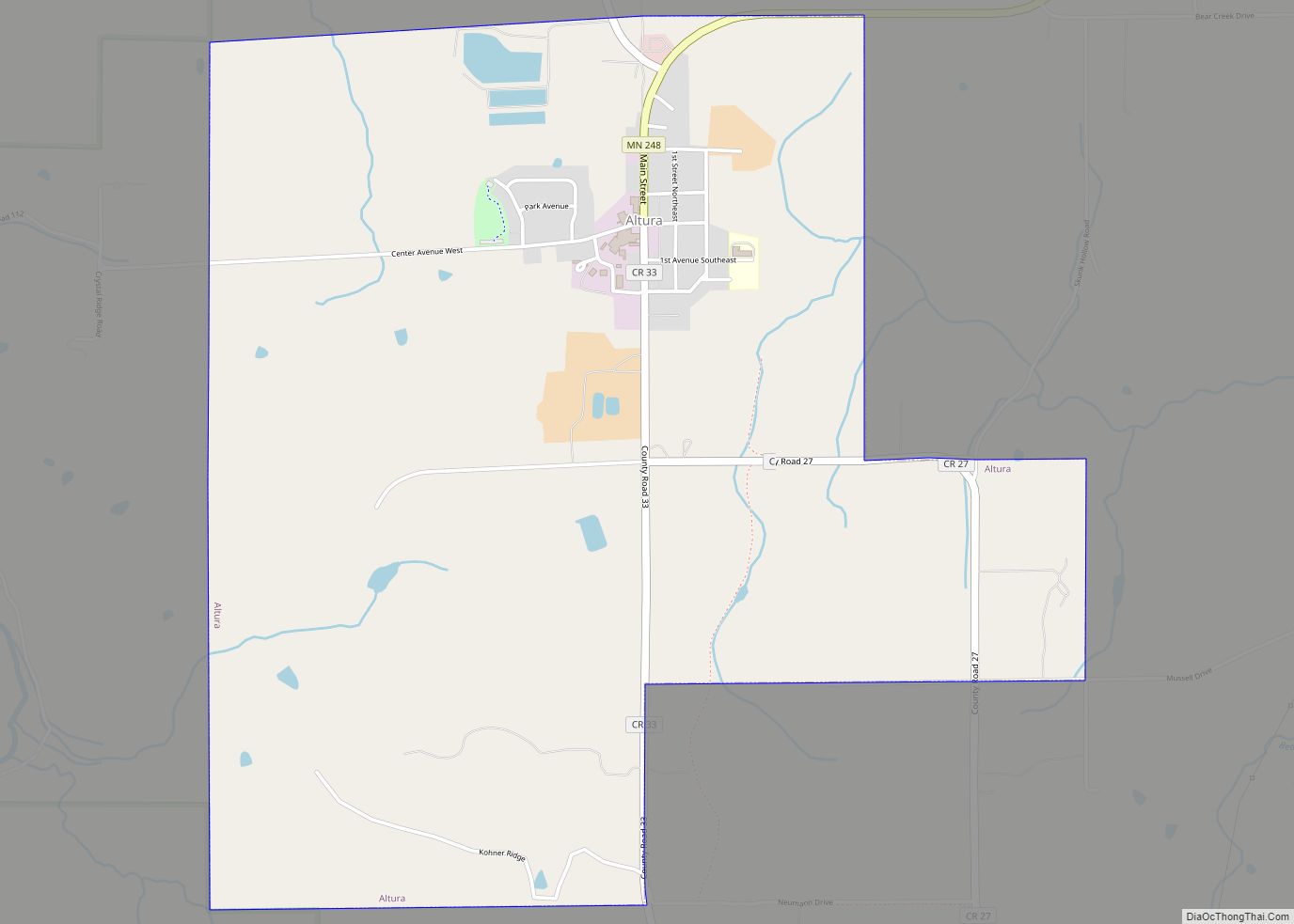
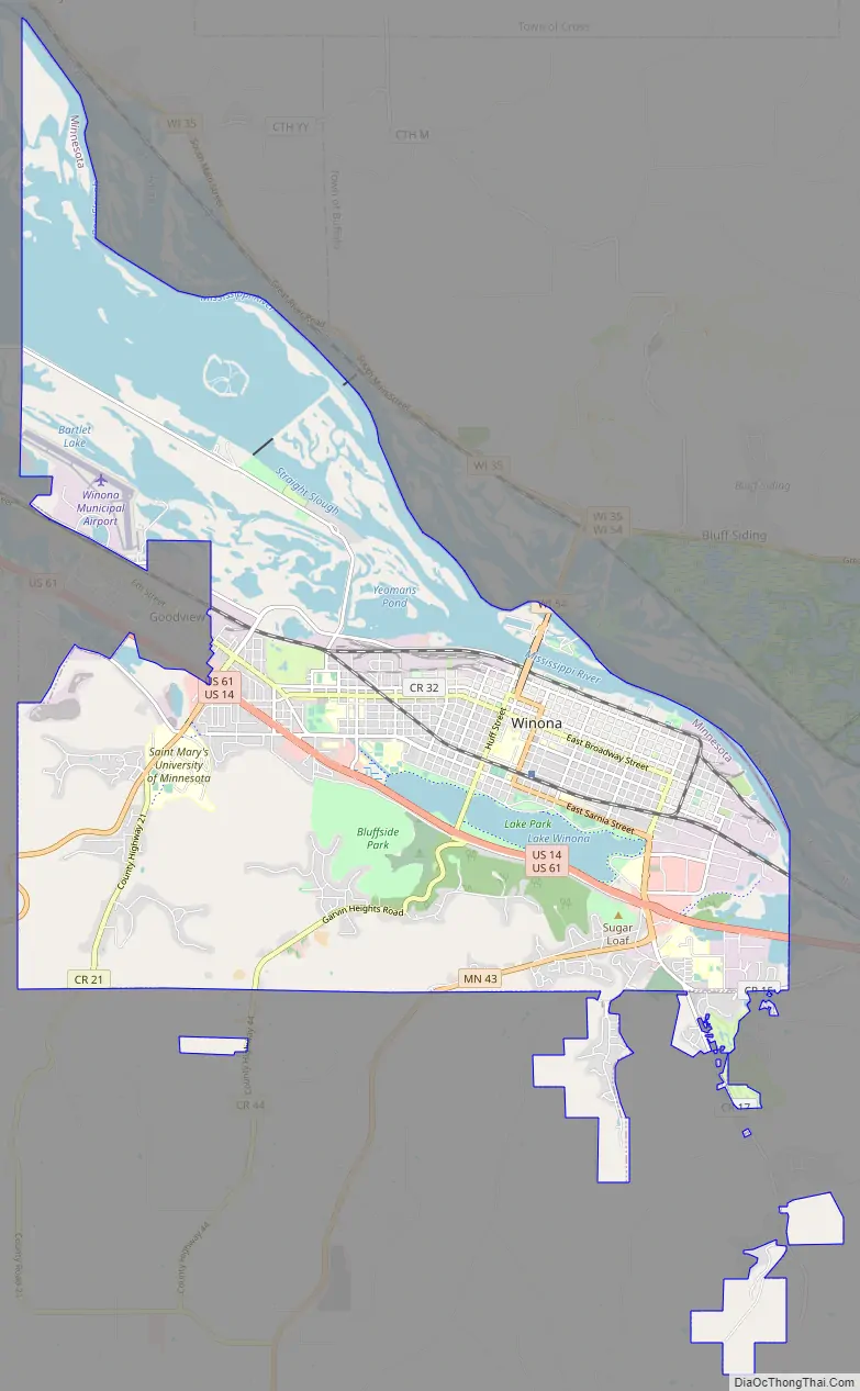
Winona Road Map
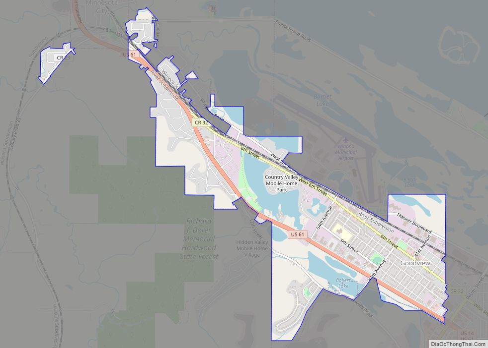
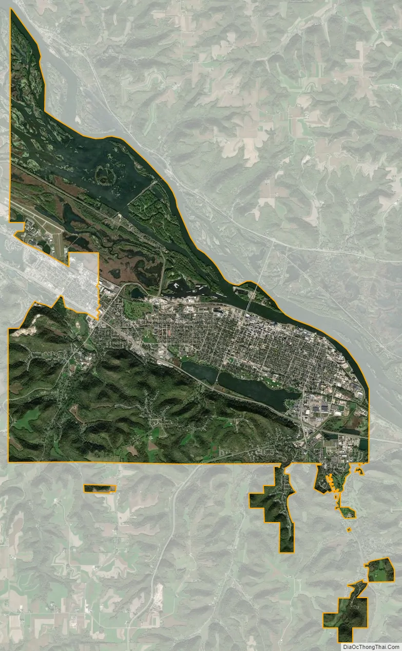
Winona city Satellite Map
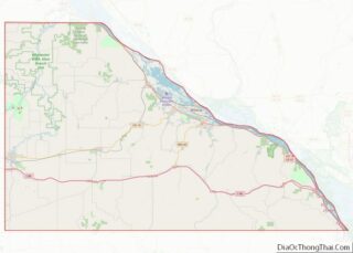
Geography
According to the United States Census Bureau, the city has a total area of 24.32 square miles (62.99 km); 19.03 square miles (49.29 km) is land and 5.29 square miles (13.70 km) is water. Lock and Dam 5A spans the Mississippi River in Winona. The highway bridge connecting Winona to the Wisconsin side of the river is at approximately River Mile 726 (USACE map 31).
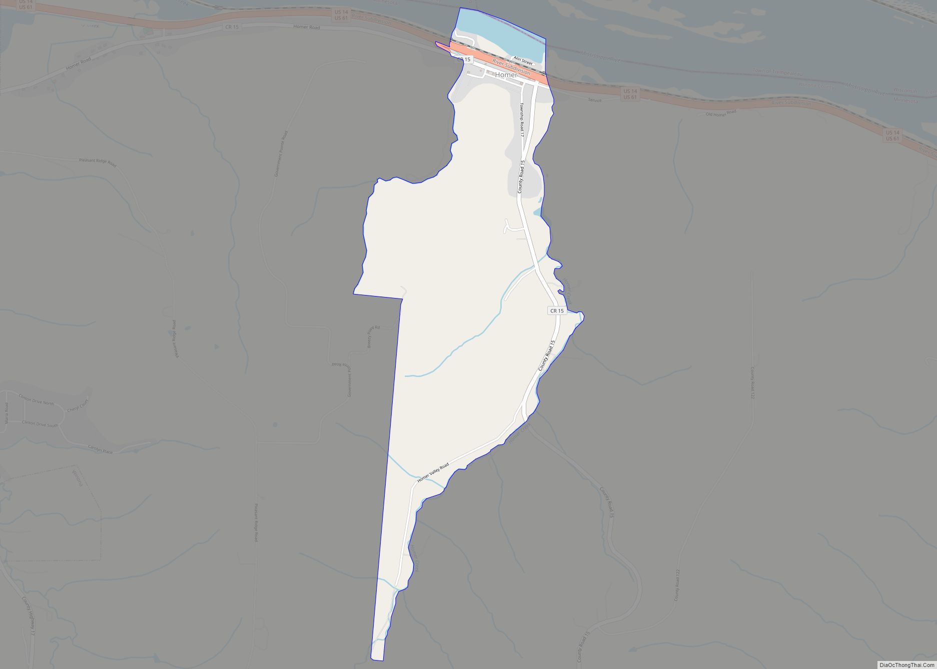
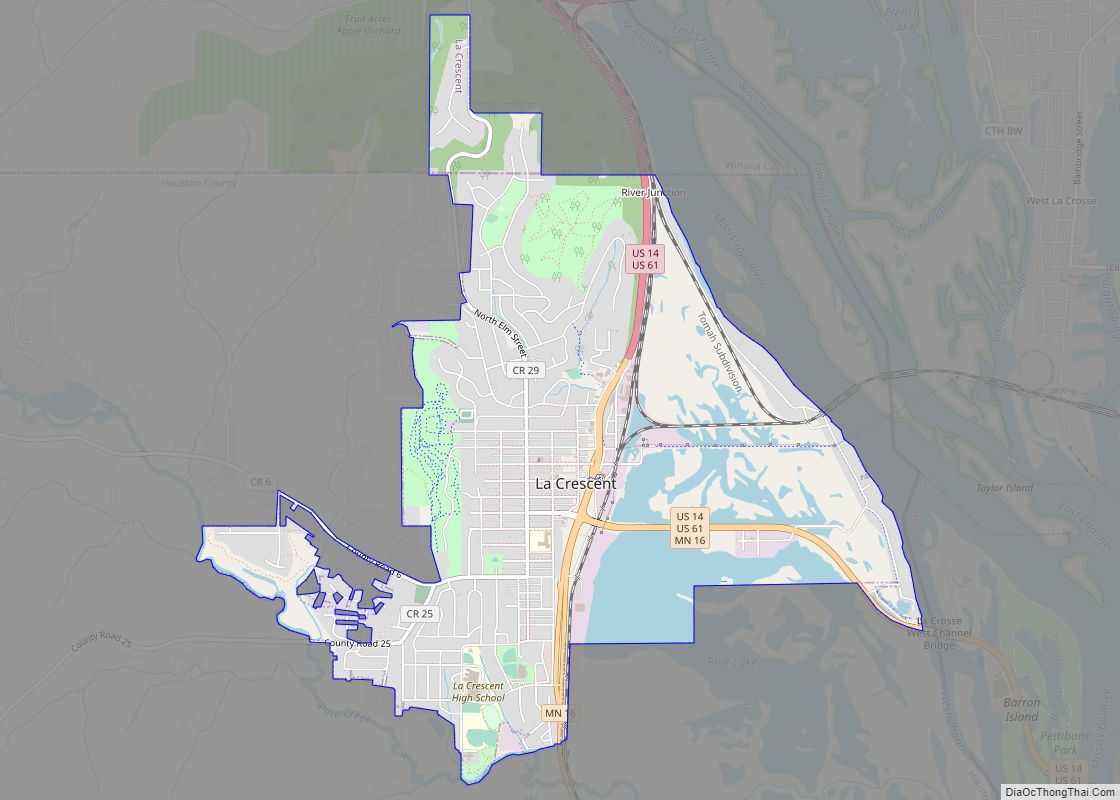
Winona’s primary suburbs are Goodview, Stockton, Minnesota City and Rollingstone to the west, Homer to the southeast and Bluff Siding is 3 miles directly across the interstate bridge to the north and Fountain City to the north. Rochester is 44 miles to the west of Winona, La Crescent is 21 miles to the south, and La Crosse is 30 miles to the southeast.
Winona is part of the driftless area that includes southeastern Minnesota, northeastern Iowa, southwestern Wisconsin and northwestern Illinois.
Latsch Island
Just northeast of the city, connected to Winona via a number of bridges, is Latsch Island. Officially part of the city since 1998, Latsch Island has been home to a unique community of houseboat (“Boathouse”) residents for several decades.
See also
Map of Minnesota State and its subdivision:- Aitkin
- Anoka
- Becker
- Beltrami
- Benton
- Big Stone
- Blue Earth
- Brown
- Carlton
- Carver
- Cass
- Chippewa
- Chisago
- Clay
- Clearwater
- Cook
- Cottonwood
- Crow Wing
- Dakota
- Dodge
- Douglas
- Faribault
- Fillmore
- Freeborn
- Goodhue
- Grant
- Hennepin
- Houston
- Hubbard
- Isanti
- Itasca
- Jackson
- Kanabec
- Kandiyohi
- Kittson
- Koochiching
- Lac qui Parle
- Lake
- Lake of the Woods
- Lake Superior
- Le Sueur
- Lincoln
- Lyon
- Mahnomen
- Marshall
- Martin
- McLeod
- Meeker
- Mille Lacs
- Morrison
- Mower
- Murray
- Nicollet
- Nobles
- Norman
- Olmsted
- Otter Tail
- Pennington
- Pine
- Pipestone
- Polk
- Pope
- Ramsey
- Red Lake
- Redwood
- Renville
- Rice
- Rock
- Roseau
- Saint Louis
- Scott
- Sherburne
- Sibley
- Stearns
- Steele
- Stevens
- Swift
- Todd
- Traverse
- Wabasha
- Wadena
- Waseca
- Washington
- Watonwan
- Wilkin
- Winona
- Wright
- Yellow Medicine
- Alabama
- Alaska
- Arizona
- Arkansas
- California
- Colorado
- Connecticut
- Delaware
- District of Columbia
- Florida
- Georgia
- Hawaii
- Idaho
- Illinois
- Indiana
- Iowa
- Kansas
- Kentucky
- Louisiana
- Maine
- Maryland
- Massachusetts
- Michigan
- Minnesota
- Mississippi
- Missouri
- Montana
- Nebraska
- Nevada
- New Hampshire
- New Jersey
- New Mexico
- New York
- North Carolina
- North Dakota
- Ohio
- Oklahoma
- Oregon
- Pennsylvania
- Rhode Island
- South Carolina
- South Dakota
- Tennessee
- Texas
- Utah
- Vermont
- Virginia
- Washington
- West Virginia
- Wisconsin
- Wyoming