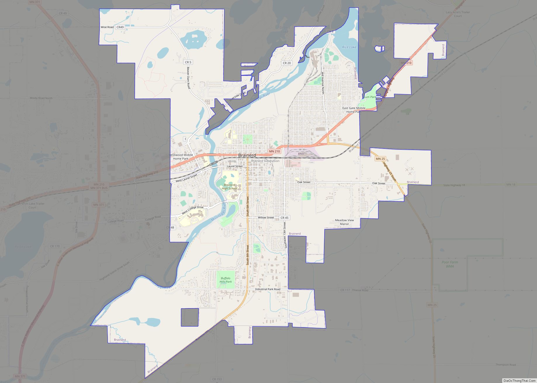
Brainerd is a city in Crow Wing County, Minnesota, United States. Its population was 14,395 at the 2020 census. It is the county seat of Crow Wing County. Brainerd straddles the Mississippi River several miles upstream from its confluence with the Crow Wing River, having been founded as a site for a railroad crossing above ... Read more
Minnesota Cities and Places
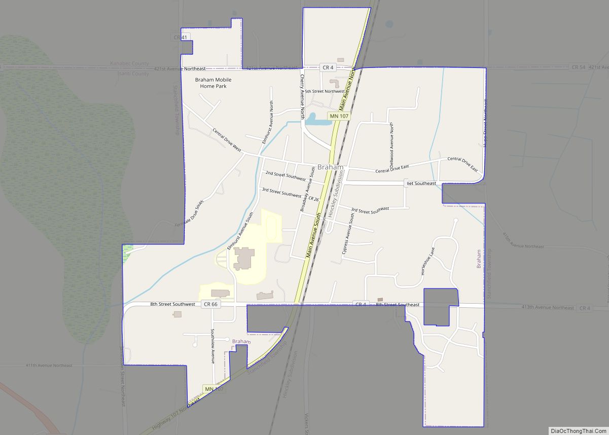
Braham is a city in Isanti and Kanabec counties in the U.S. state of Minnesota. The population was 1,769 at the 2020 census. Braham is 12 miles north of Cambridge, 15 miles southwest of Pine City, 16 miles south-southeast of Mora, and 12 miles west of Rush City. Braham city overview: Name: Braham city LSAD ... Read more
Brooklyn Park is a suburban city on the west bank of the Mississippi River, upstream from (north of) downtown Minneapolis in northern Hennepin County. It is the sixth-largest city in the U.S. state of Minnesota. The population was 86,478 at the 2020 census. The city still has undeveloped land and farms, including the historic Eidem ... Read more
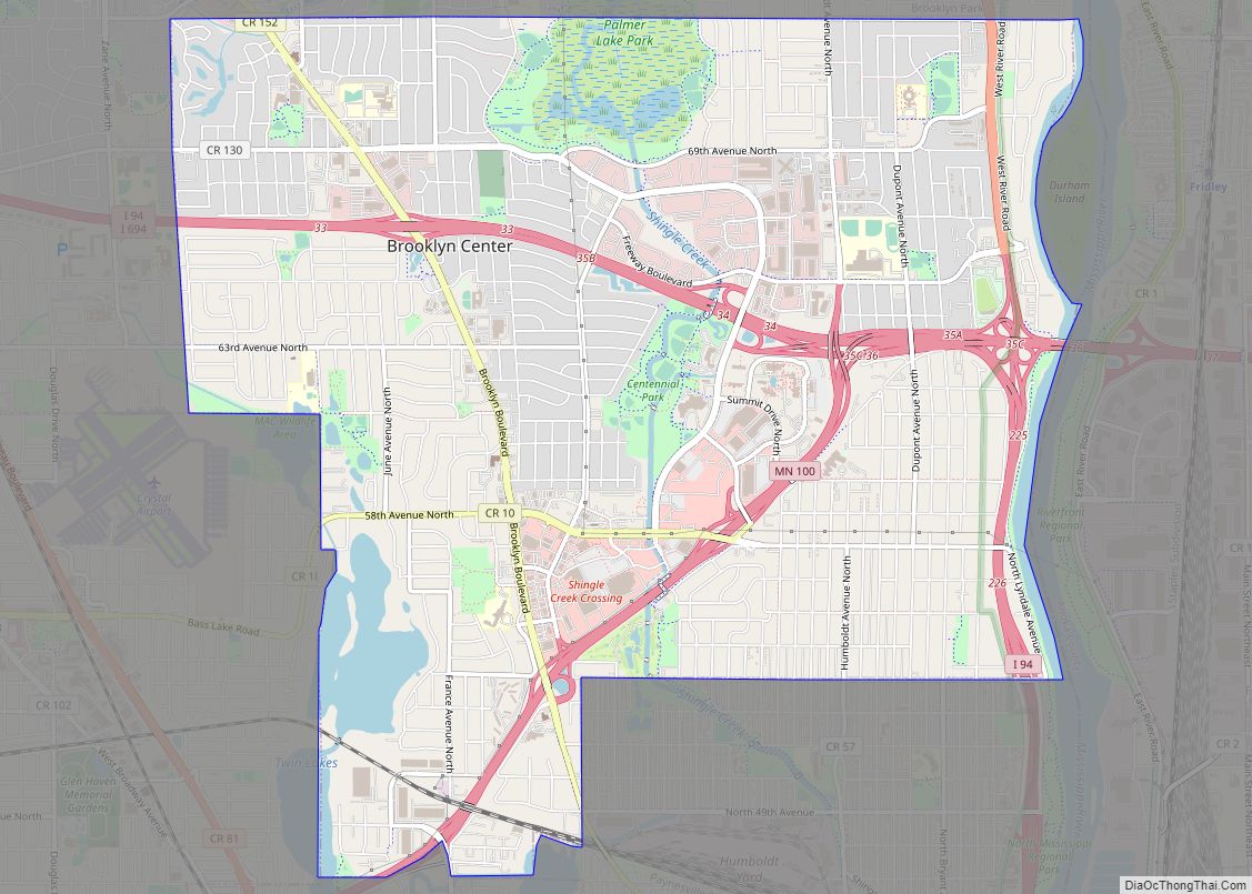
Brooklyn Center is a first-ring suburban city in Hennepin County, Minnesota, United States in the Minneapolis–Saint Paul metropolitan area. In 1911, the area became a village formed from parts of Brooklyn Township and Crystal Lake Township. In 1966, Brooklyn Center became a charter city. The city has commercial and industrial development. The majority of land ... Read more
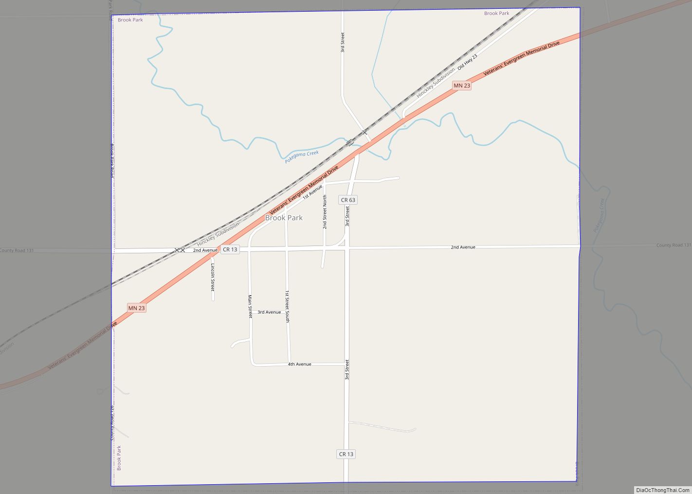
Brook Park is a city in Pine County, Minnesota, United States. The population was 139 at the 2010 census. Minnesota State Highways 23 and 107 are two of the main routes in the community. Brook Park city overview: Name: Brook Park city LSAD Code: 25 LSAD Description: city (suffix) State: Minnesota County: Pine County Incorporated: ... Read more
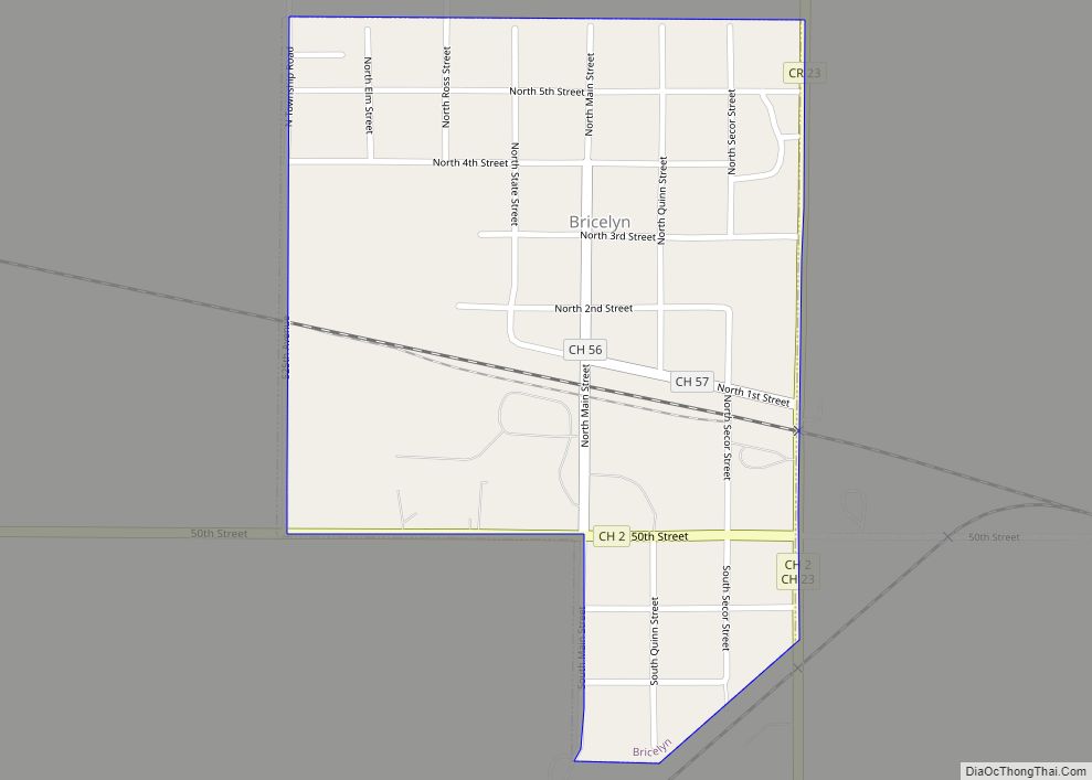
Bricelyn is a city in Faribault County, Minnesota, United States. The population was 365 at the 2010 census. Bricelyn city overview: Name: Bricelyn city LSAD Code: 25 LSAD Description: city (suffix) State: Minnesota County: Faribault County Elevation: 1,178 ft (359 m) Total Area: 0.29 sq mi (0.75 km²) Land Area: 0.29 sq mi (0.75 km²) Water Area: 0.00 sq mi (0.00 km²) Total Population: 348 Population ... Read more
Brewster is a city in Nobles County, Minnesota, United States. The population was 473 at the 2010 census. Brewster city overview: Name: Brewster city LSAD Code: 25 LSAD Description: city (suffix) State: Minnesota County: Nobles County Elevation: 1,490 ft (454 m) Total Area: 1.39 sq mi (3.59 km²) Land Area: 1.39 sq mi (3.59 km²) Water Area: 0.00 sq mi (0.00 km²) Total Population: 506 Population ... Read more
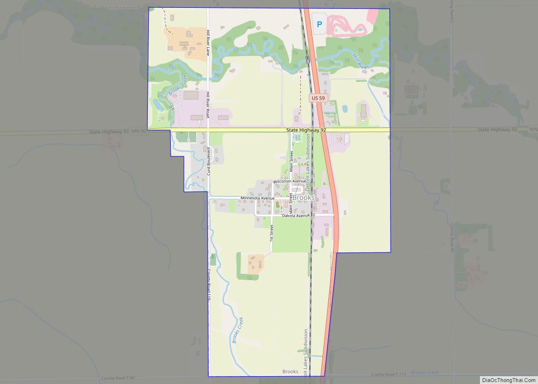
Brooks is a city in Red Lake County, Minnesota, United States. The population was 117 at the 2020 census. Brooks city overview: Name: Brooks city LSAD Code: 25 LSAD Description: city (suffix) State: Minnesota County: Red Lake County Elevation: 1,129 ft (344 m) Total Area: 1.15 sq mi (2.98 km²) Land Area: 1.15 sq mi (2.98 km²) Water Area: 0.00 sq mi (0.00 km²) Total Population: ... Read more
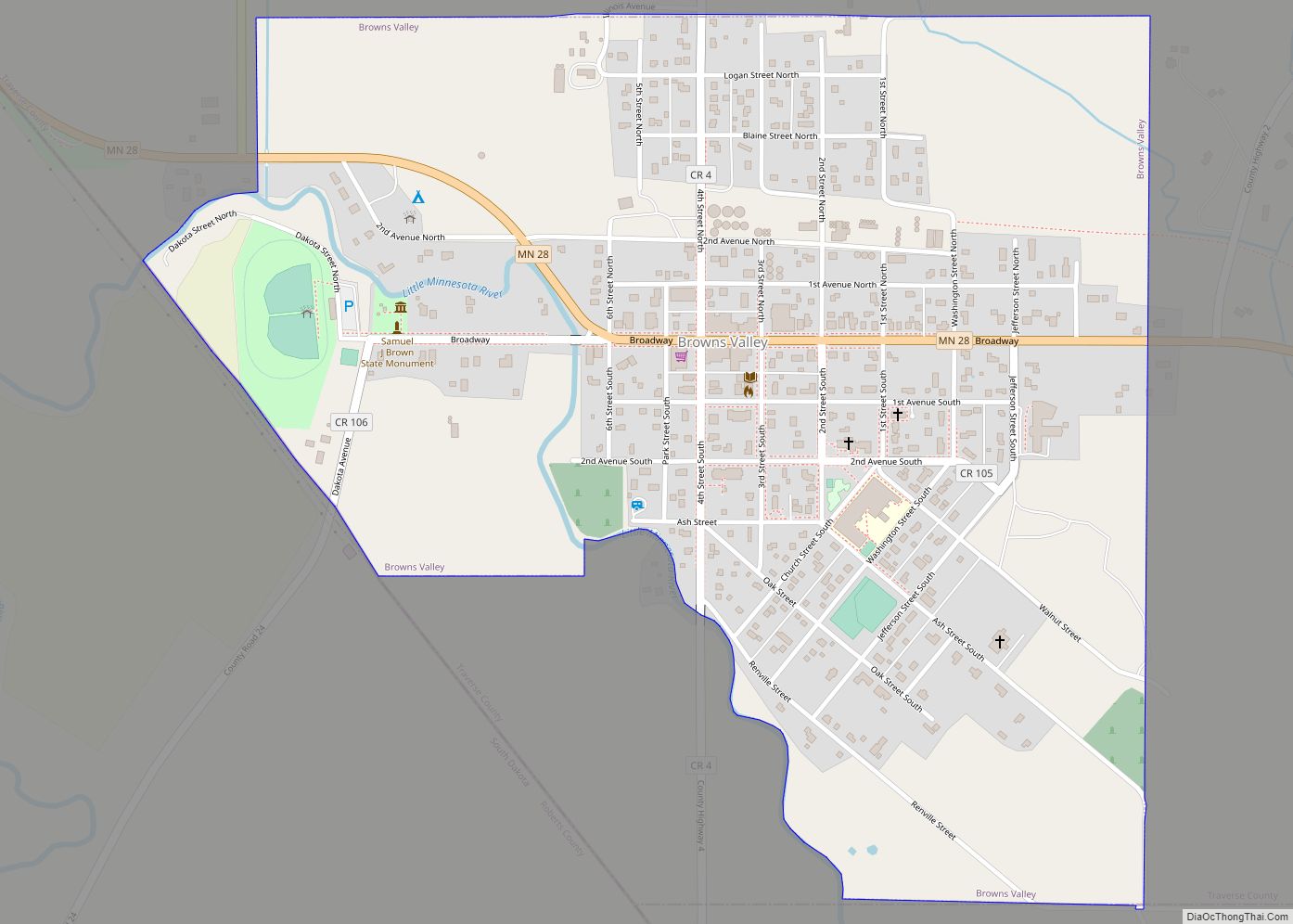
Browns Valley is a city in Traverse County, Minnesota, United States, adjacent to the South Dakota border. The population was 558 at the 2020 census. Browns Valley lies along the Little Minnesota River between the northern end of Big Stone Lake and the southern end of Lake Traverse, which is separated from the Little Minnesota ... Read more
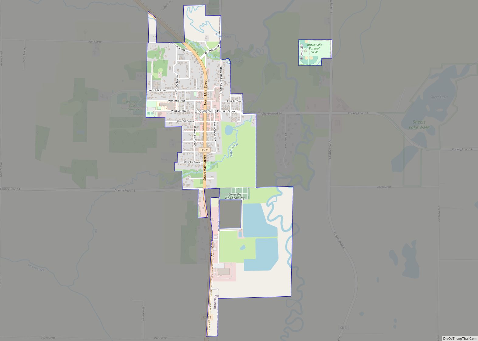
Browerville is a city in Todd County, Minnesota. The population was 790 at the time of the 2010 census. Browerville city overview: Name: Browerville city LSAD Code: 25 LSAD Description: city (suffix) State: Minnesota County: Todd County Elevation: 1,283 ft (391 m) Total Area: 1.09 sq mi (2.82 km²) Land Area: 1.09 sq mi (2.82 km²) Water Area: 0.00 sq mi (0.00 km²) Total Population: 839 ... Read more
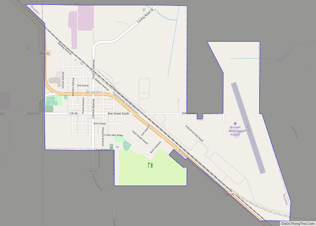
Brooten is a city in Stearns and Pope counties in the U.S. state of Minnesota, United States. The population was 626 as of the 2020 census. Almost the entire city is within Stearns County, with a small portion in Pope County. The Stearns County portion of Brooten is part of the St. Cloud Metropolitan Statistical ... Read more
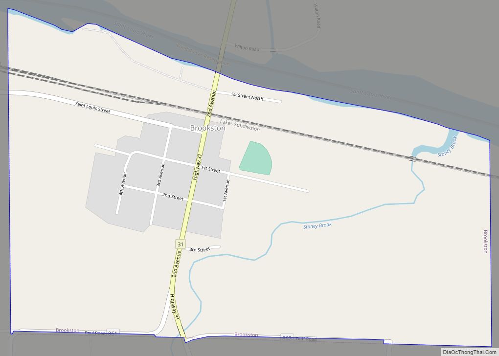
Brookston is a city in Saint Louis County, Minnesota, United States; located along the Saint Louis River, opposite the mouth of the Artichoke River. The population was 118 at the 2020 census. Brookston is located 27 miles west of the city of Duluth and 17 miles northwest of the city of Cloquet. U.S. Highway 2 ... Read more
