Brainerd is a city in Crow Wing County, Minnesota, United States. Its population was 14,395 at the 2020 census. It is the county seat of Crow Wing County. Brainerd straddles the Mississippi River several miles upstream from its confluence with the Crow Wing River, having been founded as a site for a railroad crossing above the confluence. Brainerd is the principal city of the Brainerd Micropolitan Area, a micropolitan area covering Cass and Crow Wing counties and with a combined population of 96,189 at the 2020 census. The city is well known for being the partial setting of the 1996 film Fargo.
| Name: | Brainerd city |
|---|---|
| LSAD Code: | 25 |
| LSAD Description: | city (suffix) |
| State: | Minnesota |
| County: | Crow Wing County |
| Founded: | 1870 |
| Incorporated: | March 6, 1873 |
| Elevation: | 1,217 ft (371 m) |
| Total Area: | 12.82 sq mi (33.21 km²) |
| Land Area: | 12.13 sq mi (31.42 km²) |
| Water Area: | 0.69 sq mi (1.79 km²) 5.78% |
| Total Population: | 14,395 |
| Population Density: | 1,186.73/sq mi (458.20/km²) |
| ZIP code: | 56401 |
| Area code: | 218 |
| FIPS code: | 2707300 |
| GNISfeature ID: | 0640426 |
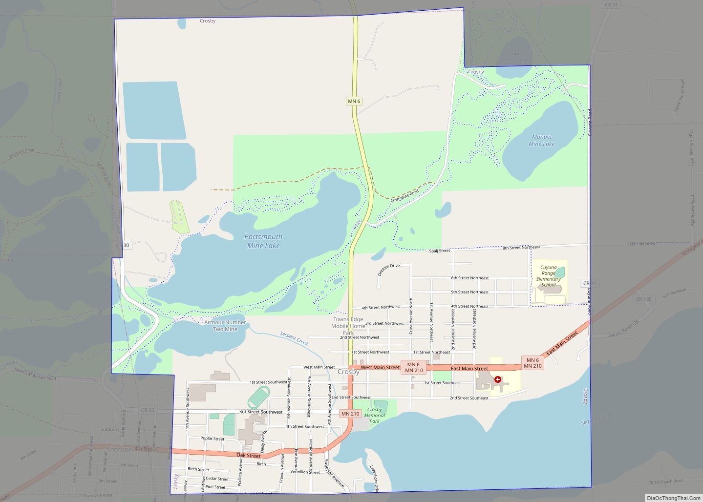
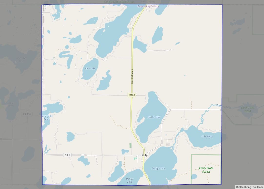
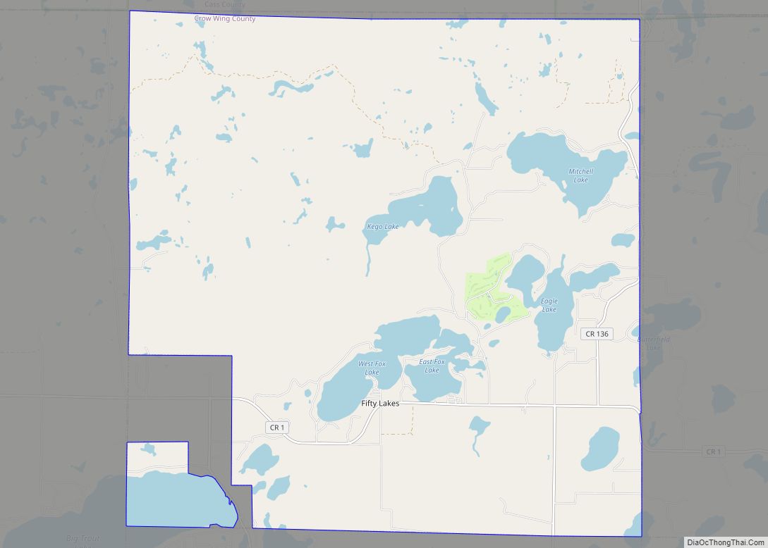
Online Interactive Map
Click on ![]() to view map in "full screen" mode.
to view map in "full screen" mode.
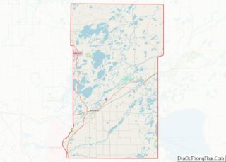
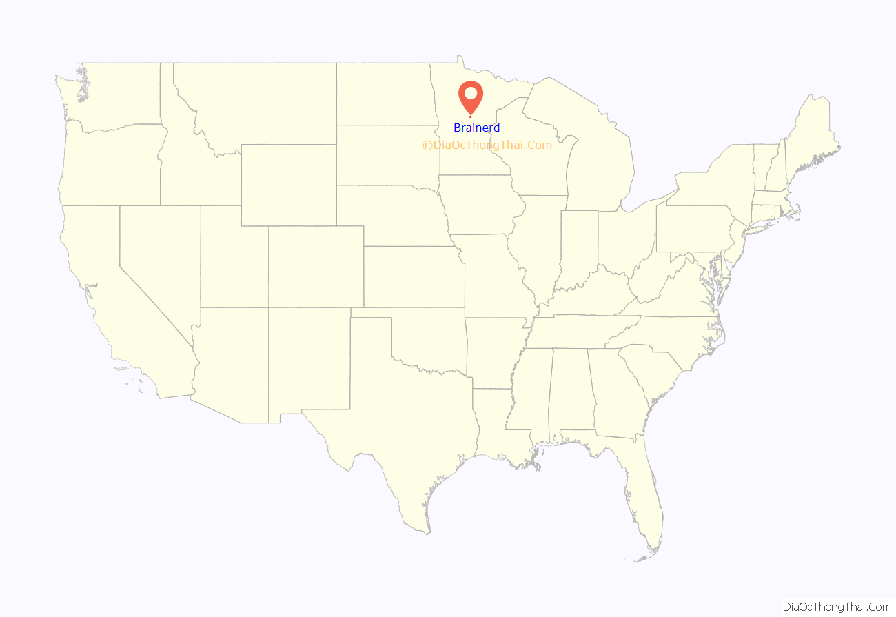
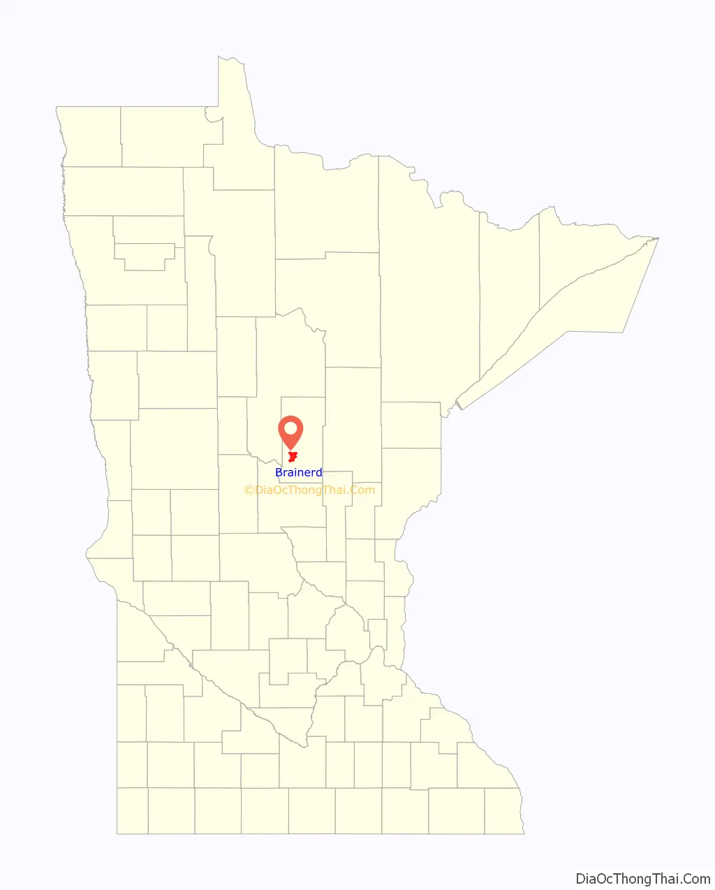
Brainerd location map. Where is Brainerd city?
History
The area that is now Brainerd was formerly Ojibwe territory. Brainerd was first seen by European settlers on Christmas Day in 1805, when Zebulon Pike stopped there while searching for the headwaters of the Mississippi River. Crow Wing Village, a fur and logging community near Fort Ripley, brought settlers to the area in the mid-19th century.
In those early years, the relationship between the settlers and the Native Americans was fraught. The most famous example of this tenuous relationship was the “Blueberry War” of 1872. Two Ojibwe were hanged for allegedly murdering a missing girl. When a group of Ojibwe approached the town, troops from Fort Ripley were called to prevent a potential reprisal. As it turned out, the Ojibwe only wanted to sell blueberries and the settlers avoided a bloody misunderstanding. The guilt of the two Ojibwe was never proven.
Brainerd was the idea of Northern Pacific railroad president John Gregory Smith, who in 1870 named the township after his wife, Anne Eliza Brainerd Smith, and father-in-law, Lawrence Brainerd. The company built a bridge over the Mississippi seven miles north of Crow Wing Village and used the Brainerd station as a machine and car shop, prompting many to move north and abandon Crow Wing. Brainerd was organized as a city on March 6, 1873.
On January 11, 1876, the state legislature revoked Brainerd’s charter for six years, in reaction to the election of local handyman Thomas Lanihan as mayor instead of Judge C.B. Sleeper. Brainerd functioned as a township in the interim.
In 1881, the railroad, and with it the town, expanded. Lumber and paper, as well as agriculture in general, were important early industries, but for many decades Brainerd remained a railroad town: in the 1920s roughly 90% of Brainerd residents were dependent on the railroad. Participation in the nationwide railroad strike on July 1, 1922, left most Brainerd residents unemployed and embittered many of those involved.
On October 27, 1933, the First National Bank of Brainerd became briefly famous when it was held up by Baby Face Nelson and his gang.
Over the years, increased efficiency and the better positioning of the more centralized Livingston, Montana, shops led to a decline in the importance of a railroad station that once employed over 1,000 and serviced locomotives for the whole Northern Pacific line. The BNSF Railway (successor to the Northern Pacific) continues to employ approximately 70 people in Brainerd at a maintenance-of-way equipment shop that repairs and maintains track and equipment. The former Northern Pacific railway station has been converted to breweries, coffee shops, and event centers available to rent for special occasions.
The Northwest Paper Company built Brainerd’s first paper mill in 1903 and with the steady increase in tourism since the early 20th century the paper and service industries have become Brainerd’s primary employers. The town’s coating mill was sold by Potlatch to Missota Paper in 2003 and then by Missota Paper to Wausau Paper in 2004. It is now used as a small industrial center called Brainerd Industrial Center (BIC).
Due to the many lakes in the area, Brainerd is a popular summertime destination for those owning cabins in the area, better known as the Brainerd Lakes. Brainerd itself is now heavily developed into commercial and residential areas and has seen an uptick in development in recent years.
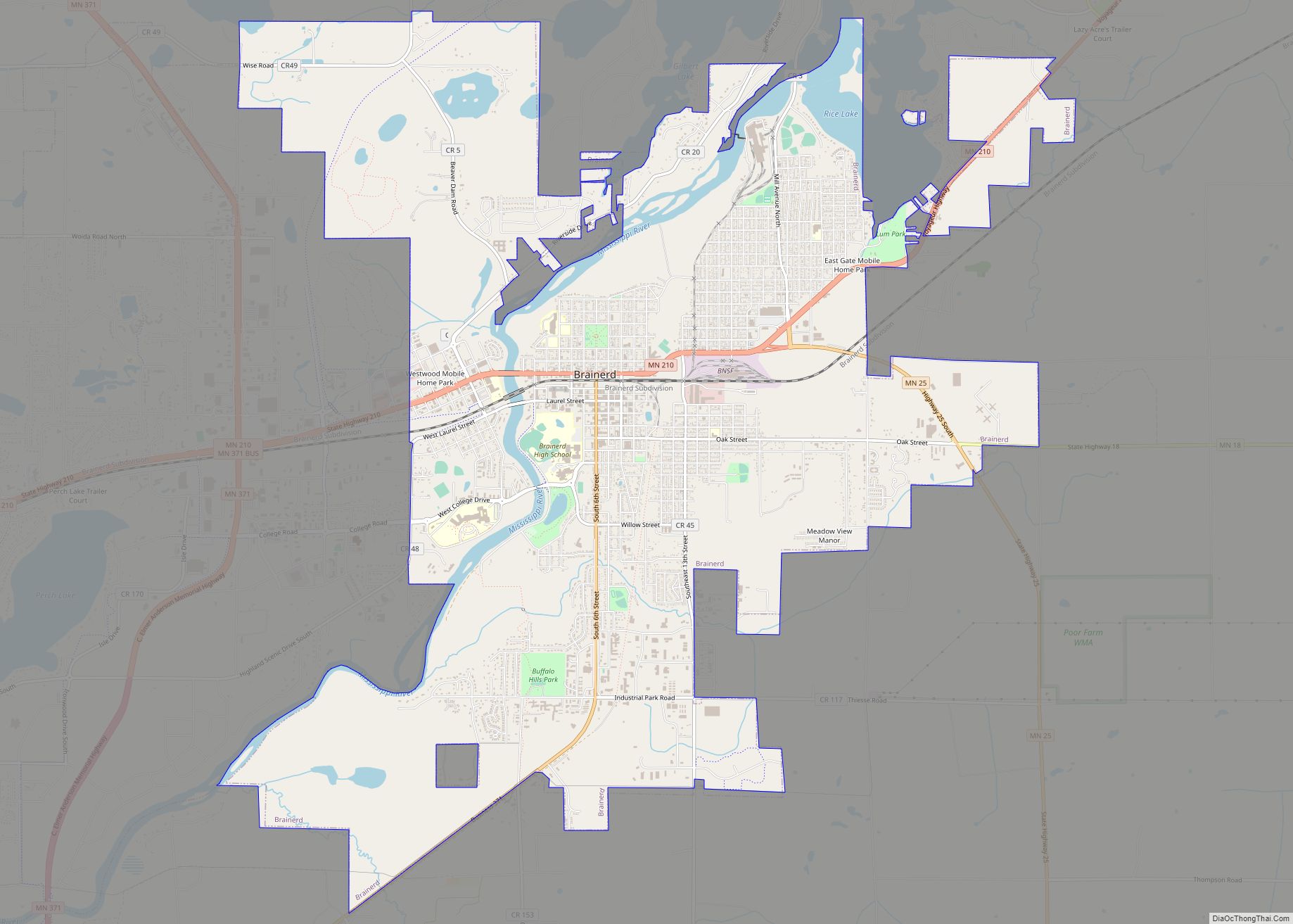
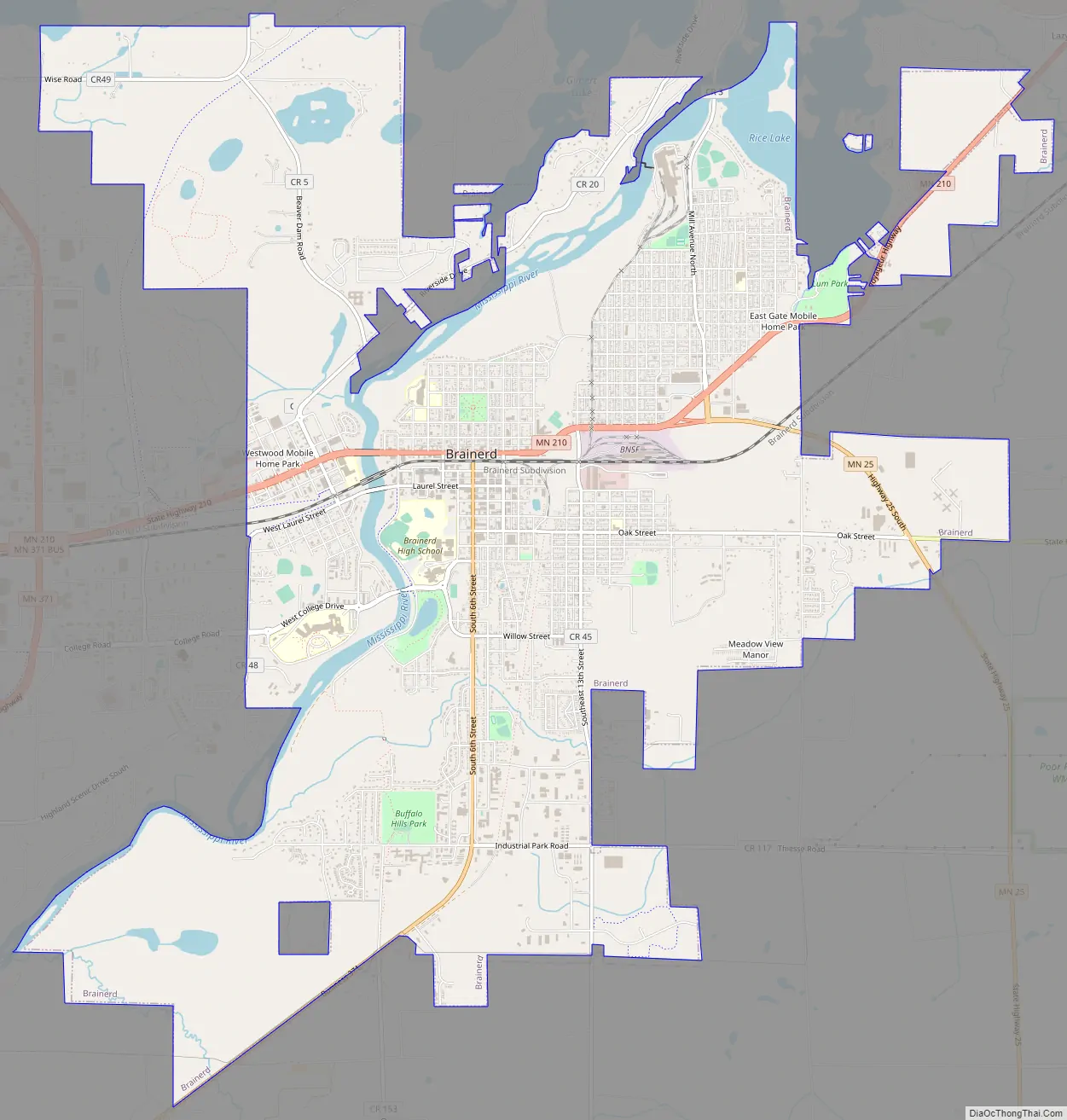
Brainerd Road Map
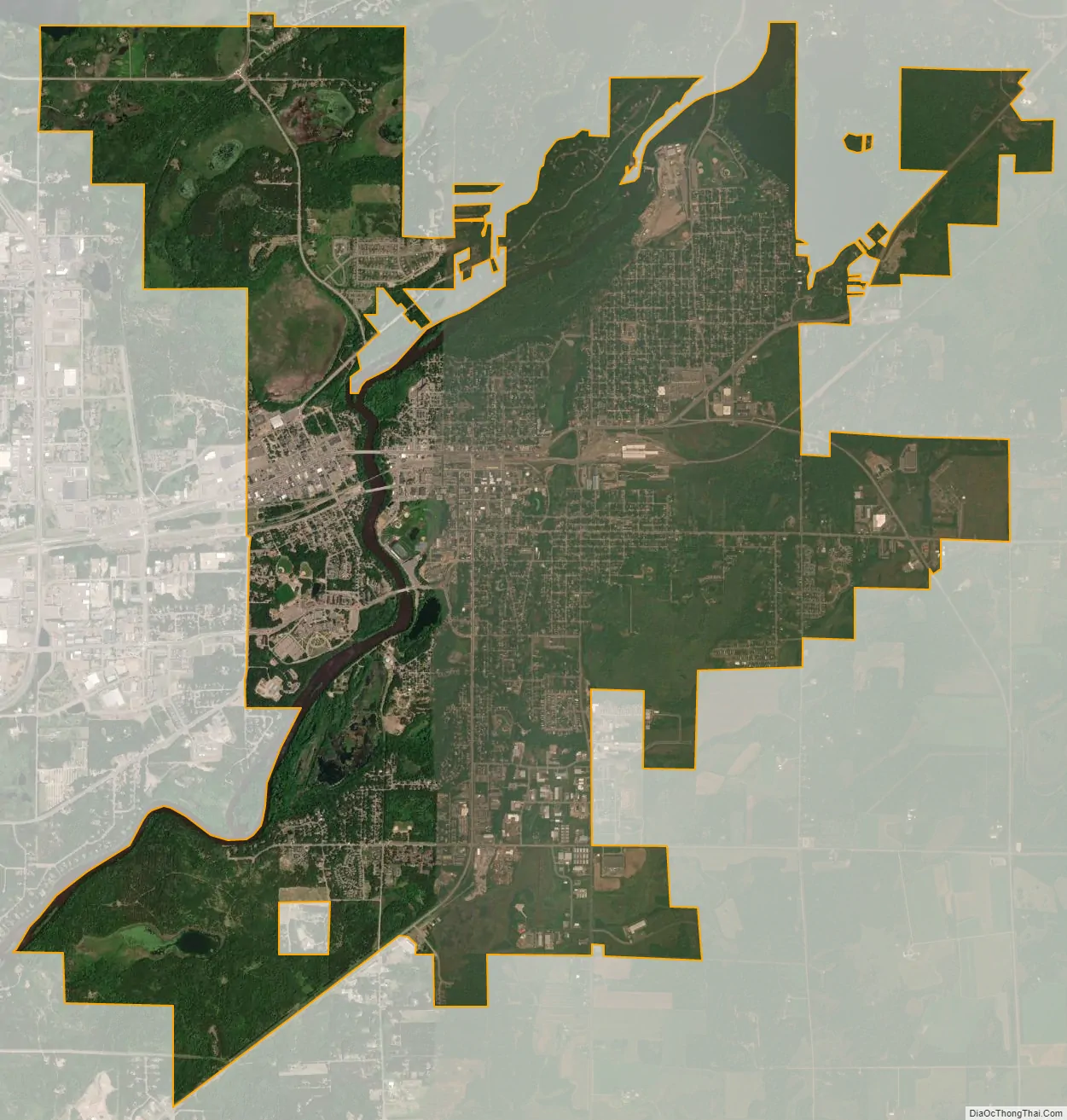
Brainerd city Satellite Map
Geography
Brainerd is just north of Minnesota’s geographical center, in a relatively hilly terminal moraine area created by the Superior Lobe of the Labradorian ice sheet. The town occupies land on both sides of the Mississippi River, though its older parts are almost all to the east.
Though the city itself has relatively few lakes, there are over 460 lakes within 25 miles (40 km) of Brainerd, mostly to the north. For this reason, Crow Wing County and parts of the adjoining counties are often collectively called the Brainerd Lakes Area despite most of the lakes existing closer to Nisswa.
According to the United States Census Bureau, the city has an area of 12.66 square miles (32.79 km), of which 11.91 square miles (30.85 km) is land and 0.73 square miles (1.89 km) is water.
Brainerd has been assigned ZIP code 56401 by the USPS.
Climate
Brainerd has a humid continental climate (Köppen Dfb) with vast seasonal differences. Summers are warm and occasionally hot, whereas winters are often severely cold.
Superfund site and environmental damage
The Burlington Northern (Brainerd/Baxter) United States Environmental Protection Agency Superfund site is on the boundary between Brainerd and Baxter. The site served as a Burlington Northern Railroad tie treatment plant from 1907 to 1985. During that time, wastewater generated from the wood-treating process was sent to two shallow, unlined ponds. This created a toxic sludge that contaminated both the underlying soils and the groundwater with creosote and polynuclear aromatic hydrocarbons (PAHs).
See also
Map of Minnesota State and its subdivision:- Aitkin
- Anoka
- Becker
- Beltrami
- Benton
- Big Stone
- Blue Earth
- Brown
- Carlton
- Carver
- Cass
- Chippewa
- Chisago
- Clay
- Clearwater
- Cook
- Cottonwood
- Crow Wing
- Dakota
- Dodge
- Douglas
- Faribault
- Fillmore
- Freeborn
- Goodhue
- Grant
- Hennepin
- Houston
- Hubbard
- Isanti
- Itasca
- Jackson
- Kanabec
- Kandiyohi
- Kittson
- Koochiching
- Lac qui Parle
- Lake
- Lake of the Woods
- Lake Superior
- Le Sueur
- Lincoln
- Lyon
- Mahnomen
- Marshall
- Martin
- McLeod
- Meeker
- Mille Lacs
- Morrison
- Mower
- Murray
- Nicollet
- Nobles
- Norman
- Olmsted
- Otter Tail
- Pennington
- Pine
- Pipestone
- Polk
- Pope
- Ramsey
- Red Lake
- Redwood
- Renville
- Rice
- Rock
- Roseau
- Saint Louis
- Scott
- Sherburne
- Sibley
- Stearns
- Steele
- Stevens
- Swift
- Todd
- Traverse
- Wabasha
- Wadena
- Waseca
- Washington
- Watonwan
- Wilkin
- Winona
- Wright
- Yellow Medicine
- Alabama
- Alaska
- Arizona
- Arkansas
- California
- Colorado
- Connecticut
- Delaware
- District of Columbia
- Florida
- Georgia
- Hawaii
- Idaho
- Illinois
- Indiana
- Iowa
- Kansas
- Kentucky
- Louisiana
- Maine
- Maryland
- Massachusetts
- Michigan
- Minnesota
- Mississippi
- Missouri
- Montana
- Nebraska
- Nevada
- New Hampshire
- New Jersey
- New Mexico
- New York
- North Carolina
- North Dakota
- Ohio
- Oklahoma
- Oregon
- Pennsylvania
- Rhode Island
- South Carolina
- South Dakota
- Tennessee
- Texas
- Utah
- Vermont
- Virginia
- Washington
- West Virginia
- Wisconsin
- Wyoming