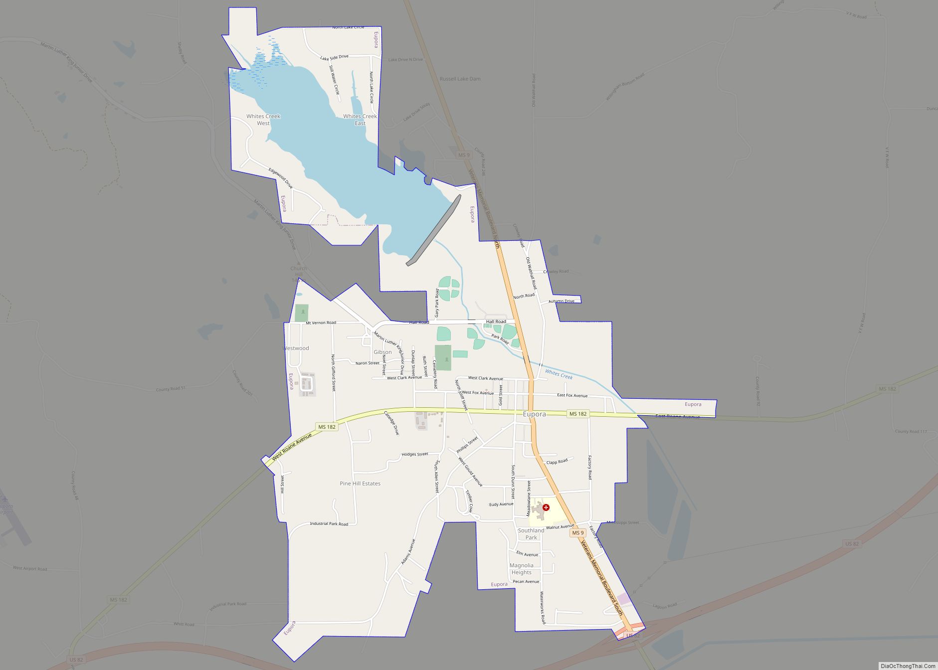
Eupora is the largest city in Webster County, central Mississippi. The population was 2,197 at the 2010 census. Eupora city overview: Name: Eupora city LSAD Code: 25 LSAD Description: city (suffix) State: Mississippi County: Webster County Elevation: 384 ft (117 m) Total Area: 3.68 sq mi (9.54 km²) Land Area: 3.36 sq mi (8.69 km²) Water Area: 0.33 sq mi (0.85 km²) Total Population: 2,018 Population ... Read more
Mississippi Cities and Places
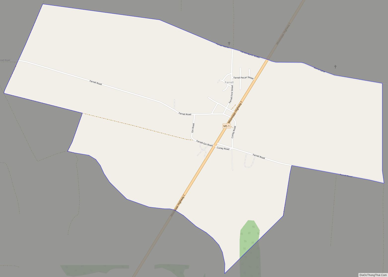
Farrell is an unincorporated community and census-designated place in Coahoma County, Mississippi, United States. Per the 2020 census, the population was 200. Farrell is located approximately 4 miles (6 km) south of Stovall and 4 miles (6 km) north of Sherard on Mississippi Highway 1. It is approximately 9 miles (14 km) northwest of Clarksdale, the county seat. ... Read more
Farmington is a town in Alcorn County, Mississippi. The population was 2,186 at the 2010 census. Farmington town overview: Name: Farmington town LSAD Code: 43 LSAD Description: town (suffix) State: Mississippi County: Alcorn County Elevation: 522 ft (159 m) Total Area: 6.40 sq mi (16.56 km²) Land Area: 6.38 sq mi (16.53 km²) Water Area: 0.01 sq mi (0.04 km²) Total Population: 2,055 Population Density: 322.05/sq mi ... Read more
Forest is a city and the county seat of Scott County, Mississippi, United States. The population was 5,684 at the 2010 census and the population is a minority-majority. Forest city overview: Name: Forest city LSAD Code: 25 LSAD Description: city (suffix) State: Mississippi County: Scott County Elevation: 476 ft (145 m) Total Area: 13.10 sq mi (33.93 km²) Land Area: ... Read more
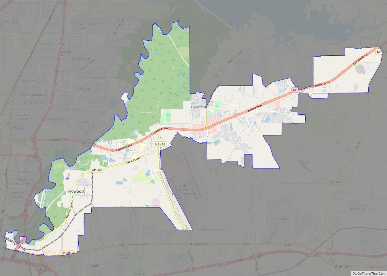
Flowood is a city in Rankin County, Mississippi, United States. The population was 10,202 at the 2020 U.S. Census. It is part of the Jackson Metropolitan Statistical Area. Flowood city overview: Name: Flowood city LSAD Code: 25 LSAD Description: city (suffix) State: Mississippi County: Rankin County Elevation: 269 ft (82 m) Total Area: 29.20 sq mi (75.62 km²) Land Area: ... Read more
Florence is a city in Rankin County, Mississippi, United States. As of the 2010 Census, the population was 4,141. It is part of the Jackson Metropolitan Statistical Area. Florence city overview: Name: Florence city LSAD Code: 25 LSAD Description: city (suffix) State: Mississippi County: Rankin County Elevation: 312 ft (95 m) Total Area: 8.09 sq mi (20.96 km²) Land Area: ... Read more
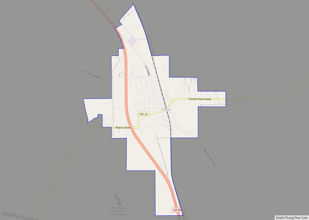
Flora is a town in Madison County, Mississippi, United States. The population was 1,886 at the 2010 census. It is part of the Jackson Metropolitan Statistical Area. The town is named after Flora Mann Jones, an early resident. Flora town overview: Name: Flora town LSAD Code: 43 LSAD Description: town (suffix) State: Mississippi County: Madison ... Read more
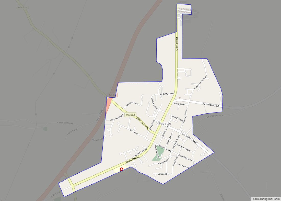
Fayette is a city in Jefferson County, Mississippi, United States. The population was 1,614 at the 2010 census. It is the county seat of Jefferson County. Fayette city overview: Name: Fayette city LSAD Code: 25 LSAD Description: city (suffix) State: Mississippi County: Jefferson County Elevation: 282 ft (86 m) Total Area: 1.18 sq mi (3.04 km²) Land Area: 1.18 sq mi (3.04 km²) ... Read more
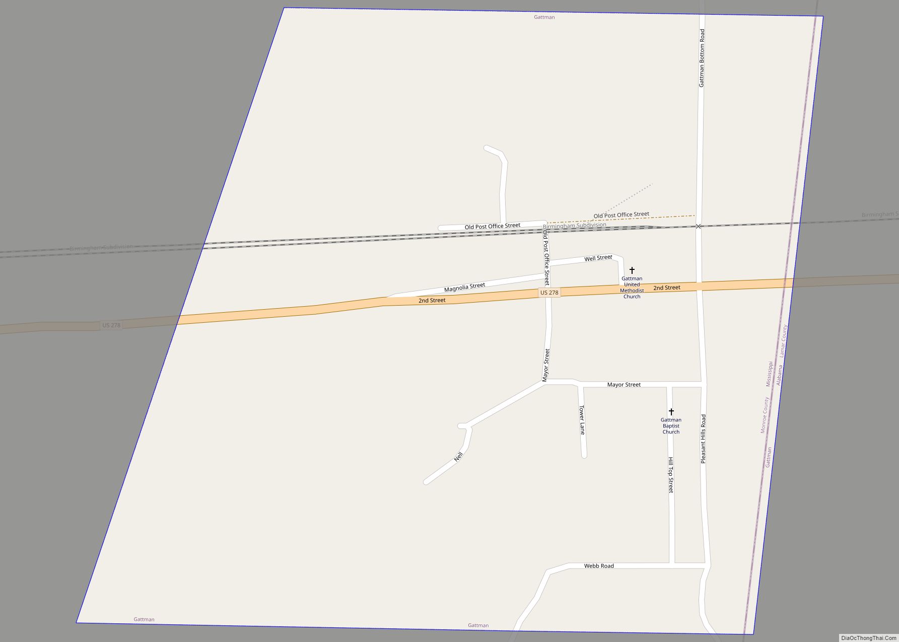
Gattman is a village in Monroe County, Mississippi. The population was 77 at the 2020 census. Gattman village overview: Name: Gattman village LSAD Code: 47 LSAD Description: village (suffix) State: Mississippi County: Monroe County Elevation: 299 ft (91 m) Total Area: 0.56 sq mi (1.46 km²) Land Area: 0.56 sq mi (1.46 km²) Water Area: 0.00 sq mi (0.00 km²) Total Population: 77 Population Density: 137.01/sq mi ... Read more
Fulton is a city in and the county seat of Itawamba County, Mississippi, United States. The population was 3,961 at the 2010 census. The city is part of the Tupelo Micropolitan Statistical Area. Fulton city overview: Name: Fulton city LSAD Code: 25 LSAD Description: city (suffix) State: Mississippi County: Itawamba County Founded: July 26, 1837 (1837-07-26) Incorporated: May 11, 1837 (1837-05-11) ... Read more
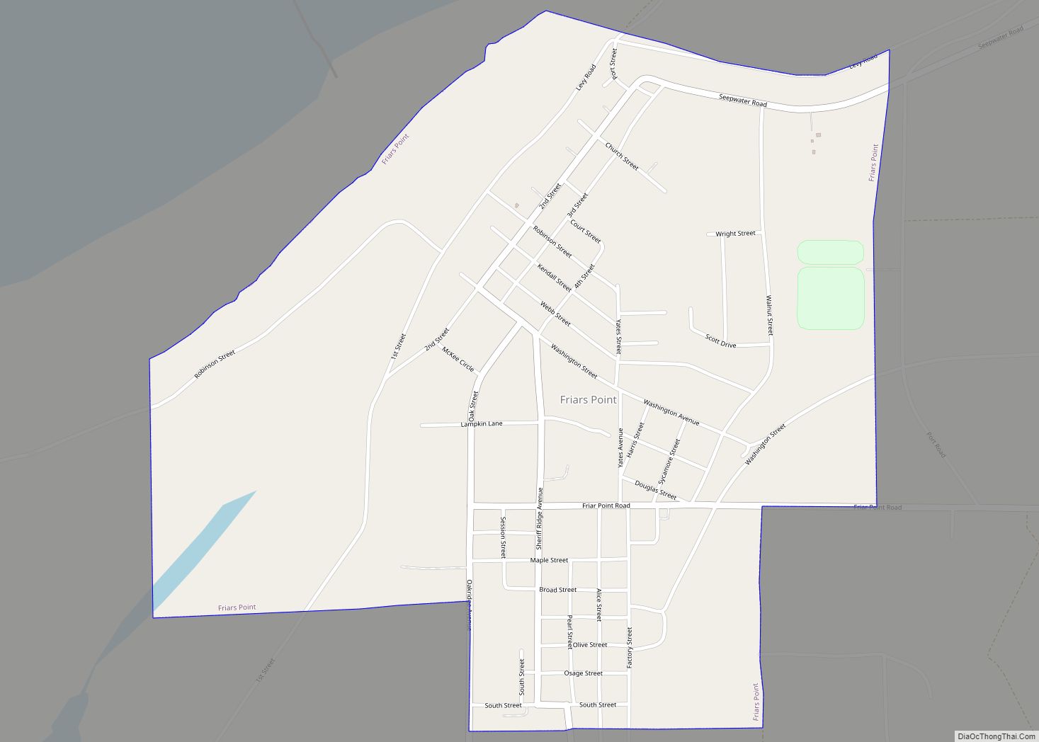
Friars Point is a town in Coahoma County, Mississippi, United States. Per the 2020 census, the population was 896. Situated on the Mississippi River, Friars Point was once a busy port town, and remains the only place in Coahoma County with public access to the river’s shore. Friars Point town overview: Name: Friars Point town ... Read more
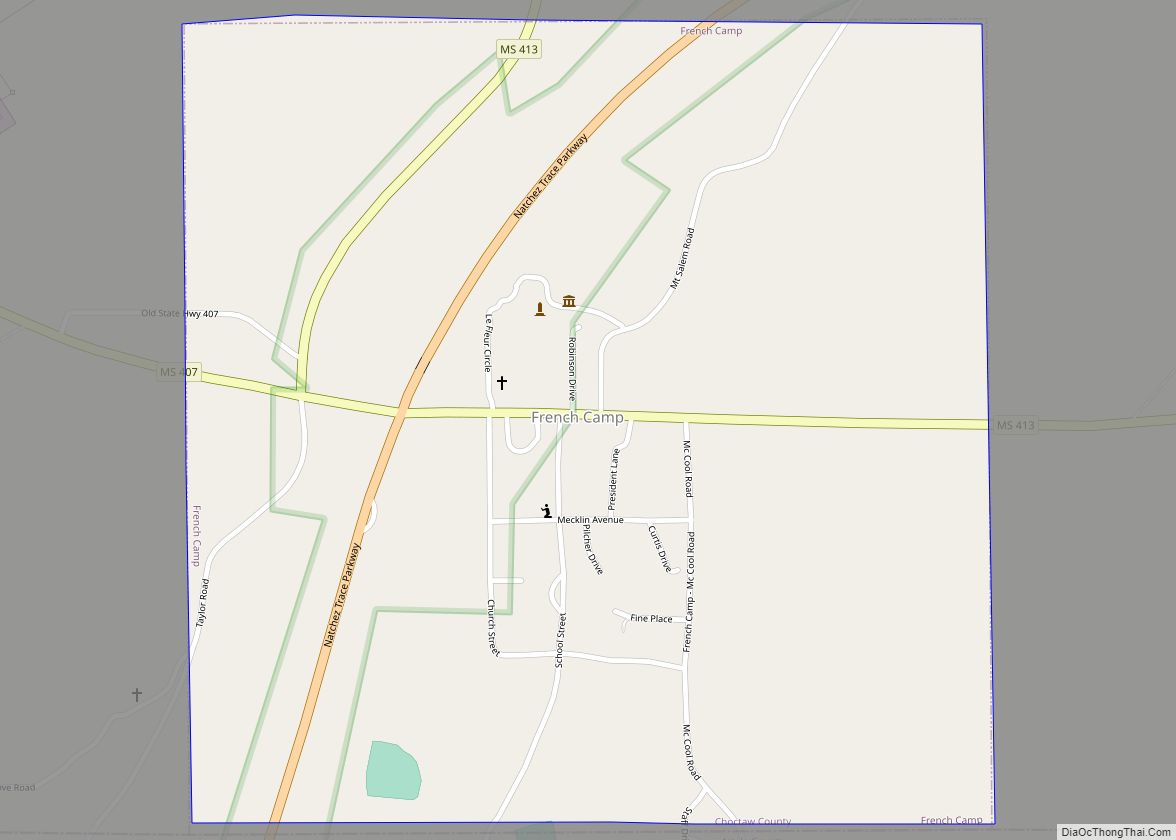
French Camp is a town in Choctaw County, Mississippi, United States. The population was 174 at the 2010 census, down from 393 in 2000. French Camp town overview: Name: French Camp town LSAD Code: 43 LSAD Description: town (suffix) State: Mississippi County: Choctaw County Elevation: 413 ft (126 m) Total Area: 0.99 sq mi (2.56 km²) Land Area: 0.98 sq mi (2.54 km²) ... Read more
