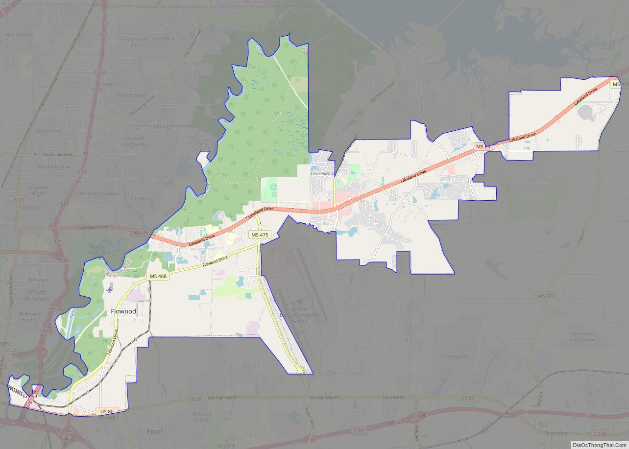
Flowood is a city in Rankin County, Mississippi, United States. The population was 10,202 at the 2020 U.S. Census. It is part of the Jackson Metropolitan Statistical Area.
| Name: | Flowood city |
|---|---|
| LSAD Code: | 25 |
| LSAD Description: | city (suffix) |
| State: | Mississippi |
| County: | Rankin County |
| Elevation: | 269 ft (82 m) |
| Total Area: | 29.20 sq mi (75.62 km²) |
| Land Area: | 28.80 sq mi (74.59 km²) |
| Water Area: | 0.40 sq mi (1.03 km²) |
| Total Population: | 10,202 |
| Population Density: | 354.26/sq mi (136.78/km²) |
| ZIP code: | 39232, 39047 |
| Area code: | 601 |
| FIPS code: | 2825100 |
| GNISfeature ID: | 0670061 |
| Website: | www.cityofflowood.com |
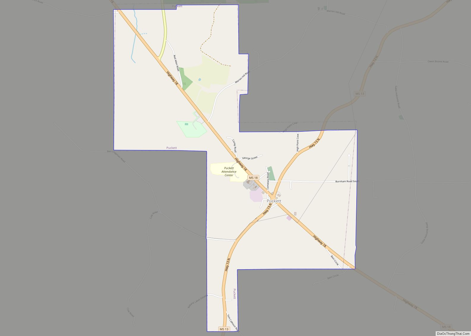
Online Interactive Map
Click on ![]() to view map in "full screen" mode.
to view map in "full screen" mode.
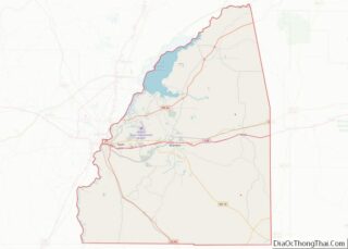
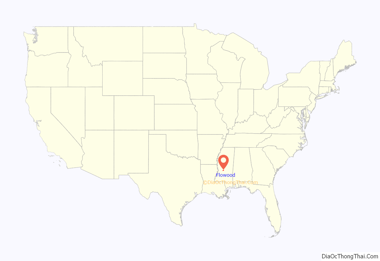
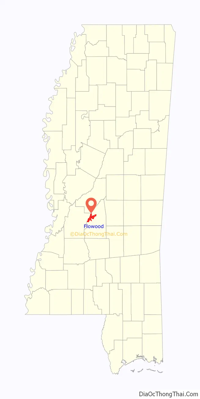
Flowood location map. Where is Flowood city?
History
In 1950, a delegation from Flowood petitioned Governor Fielding L. Wright to incorporate the community. Despite opposition, Flowood’s incorporation was upheld by the Mississippi Supreme Court in 1953.
In June 2009, Flowood voters approved (by a 75% to 25% margin) being classified as a resort area that allows liquor by the glass in restaurants and hotels, coming out from under a dry county.
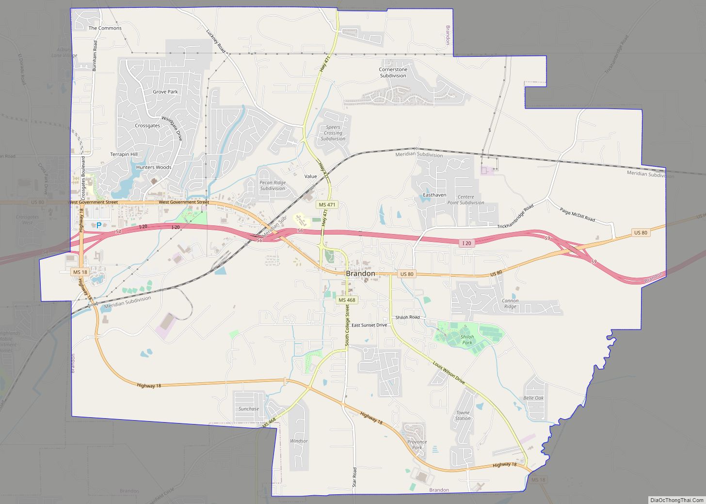
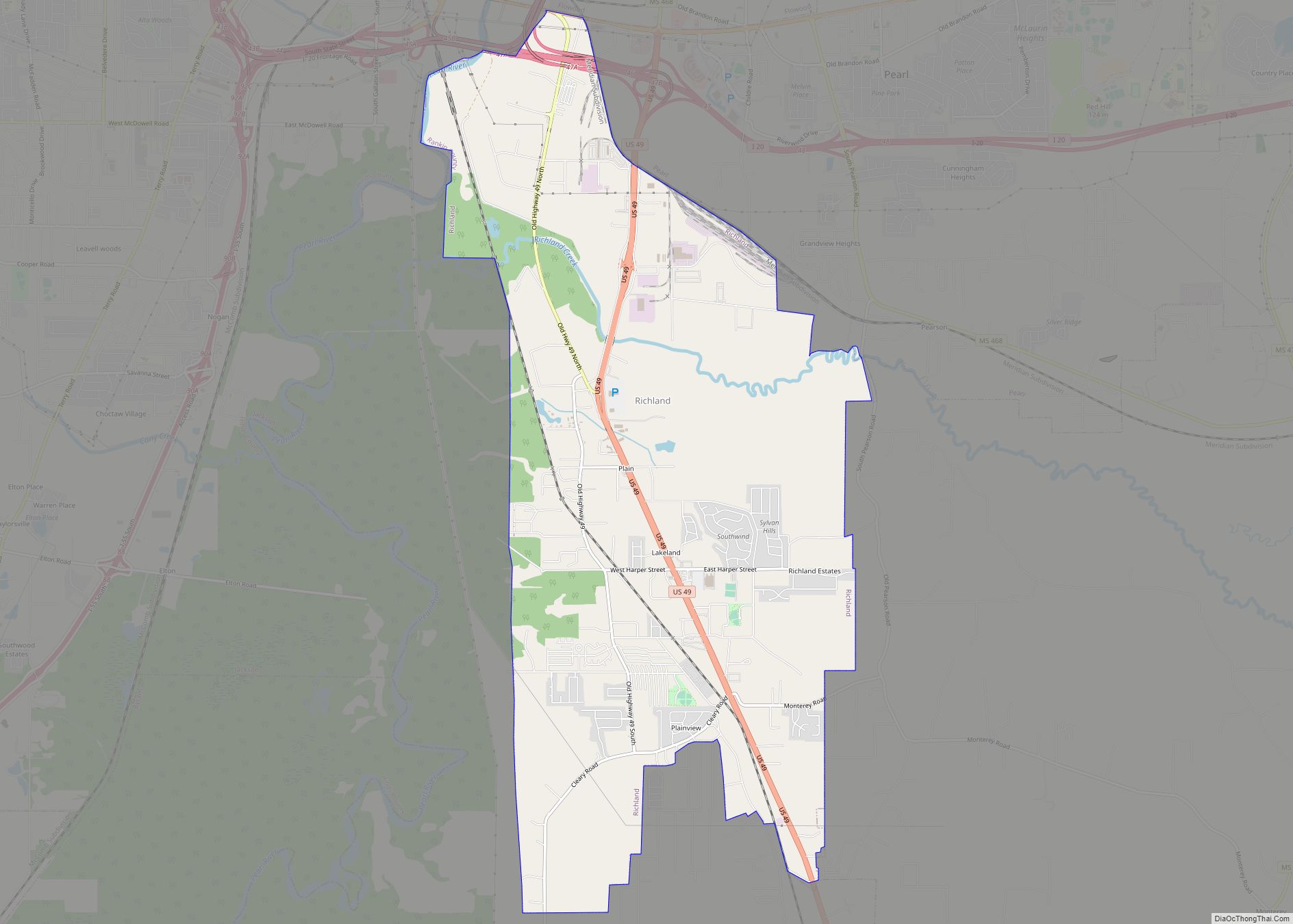
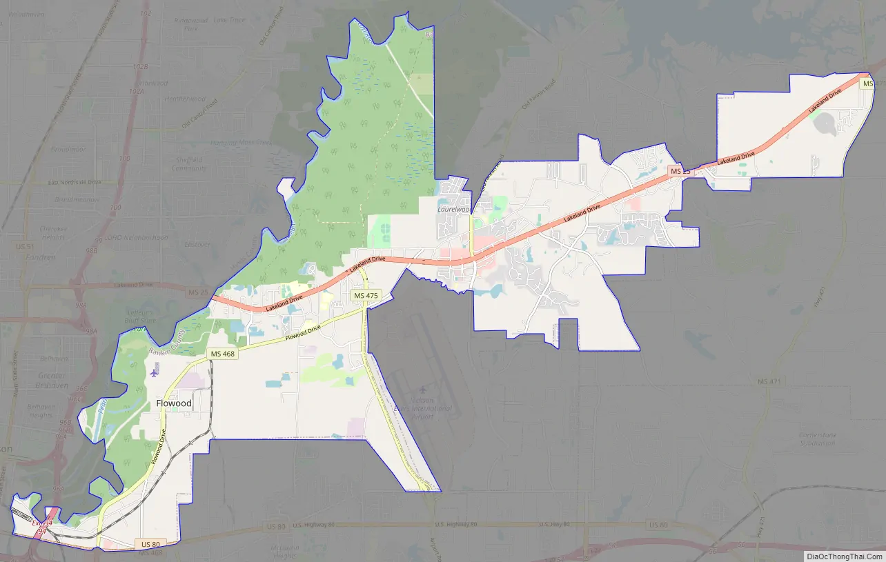
Flowood Road Map
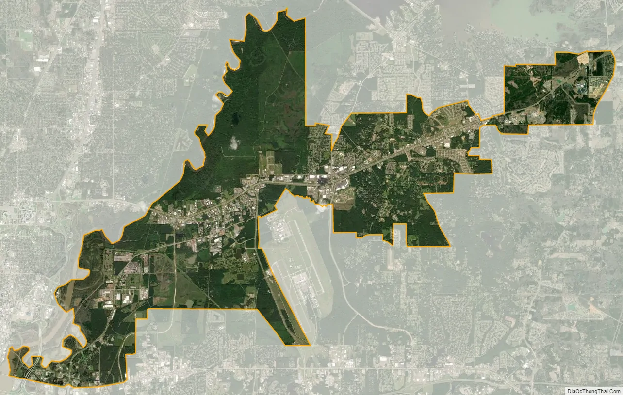
Flowood city Satellite Map
Geography
According to the United States Census Bureau, the city has a total area of 16.6 square miles (43 km), of which 16.3 square miles (42 km) is land and 0.3 square miles (0.78 km) (1.69%) is water.
See also
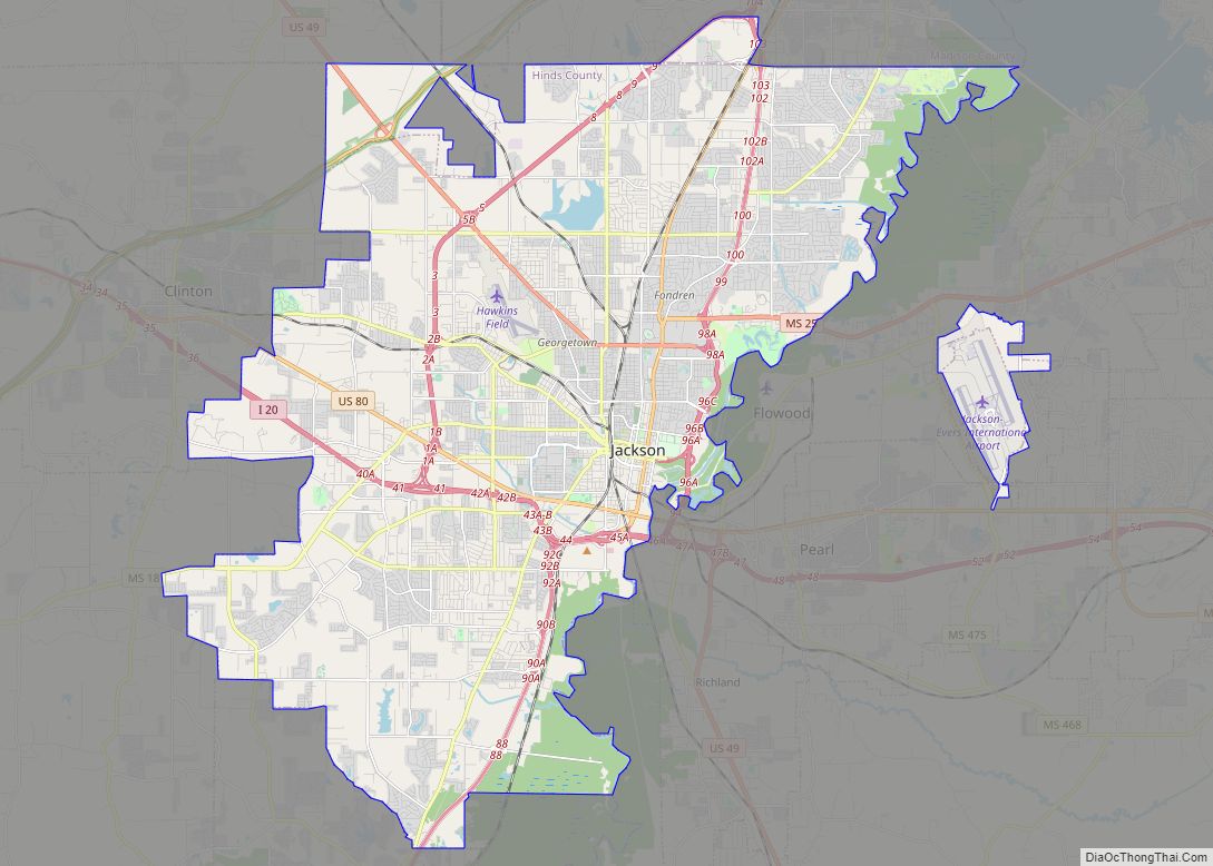
Map of Mississippi State and its subdivision:- Adams
- Alcorn
- Amite
- Attala
- Benton
- Bolivar
- Calhoun
- Carroll
- Chickasaw
- Choctaw
- Claiborne
- Clarke
- Clay
- Coahoma
- Copiah
- Covington
- Desoto
- Forrest
- Franklin
- George
- Greene
- Grenada
- Hancock
- Harrison
- Hinds
- Holmes
- Humphreys
- Issaquena
- Itawamba
- Jackson
- Jasper
- Jefferson
- Jefferson Davis
- Jones
- Kemper
- Lafayette
- Lamar
- Lauderdale
- Lawrence
- Leake
- Lee
- Leflore
- Lincoln
- Lowndes
- Madison
- Marion
- Marshall
- Monroe
- Montgomery
- Neshoba
- Newton
- Noxubee
- Oktibbeha
- Panola
- Pearl River
- Perry
- Pike
- Pontotoc
- Prentiss
- Quitman
- Rankin
- Scott
- Sharkey
- Simpson
- Smith
- Stone
- Sunflower
- Tallahatchie
- Tate
- Tippah
- Tishomingo
- Tunica
- Union
- Walthall
- Warren
- Washington
- Wayne
- Webster
- Wilkinson
- Winston
- Yalobusha
- Yazoo
- Alabama
- Alaska
- Arizona
- Arkansas
- California
- Colorado
- Connecticut
- Delaware
- District of Columbia
- Florida
- Georgia
- Hawaii
- Idaho
- Illinois
- Indiana
- Iowa
- Kansas
- Kentucky
- Louisiana
- Maine
- Maryland
- Massachusetts
- Michigan
- Minnesota
- Mississippi
- Missouri
- Montana
- Nebraska
- Nevada
- New Hampshire
- New Jersey
- New Mexico
- New York
- North Carolina
- North Dakota
- Ohio
- Oklahoma
- Oregon
- Pennsylvania
- Rhode Island
- South Carolina
- South Dakota
- Tennessee
- Texas
- Utah
- Vermont
- Virginia
- Washington
- West Virginia
- Wisconsin
- Wyoming