Fulton is a city in and the county seat of Itawamba County, Mississippi, United States. The population was 3,961 at the 2010 census.
The city is part of the Tupelo Micropolitan Statistical Area.
| Name: | Fulton city |
|---|---|
| LSAD Code: | 25 |
| LSAD Description: | city (suffix) |
| State: | Mississippi |
| County: | Itawamba County |
| Founded: | July 26, 1837 (1837-07-26) |
| Incorporated: | May 11, 1837 (1837-05-11) |
| Elevation: | 341 ft (104 m) |
| Total Area: | 8.71 sq mi (22.55 km²) |
| Land Area: | 8.49 sq mi (21.99 km²) |
| Water Area: | 0.21 sq mi (0.55 km²) |
| Total Population: | 4,542 |
| Population Density: | 534.92/sq mi (206.52/km²) |
| ZIP code: | 38843 |
| Area code: | 662 |
| FIPS code: | 2826300 |
| GNISfeature ID: | 0670269 |
| Website: | fulton.itawambams.com/fulton-city-hall/ |
Online Interactive Map
Click on ![]() to view map in "full screen" mode.
to view map in "full screen" mode.
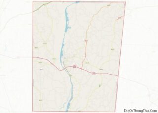
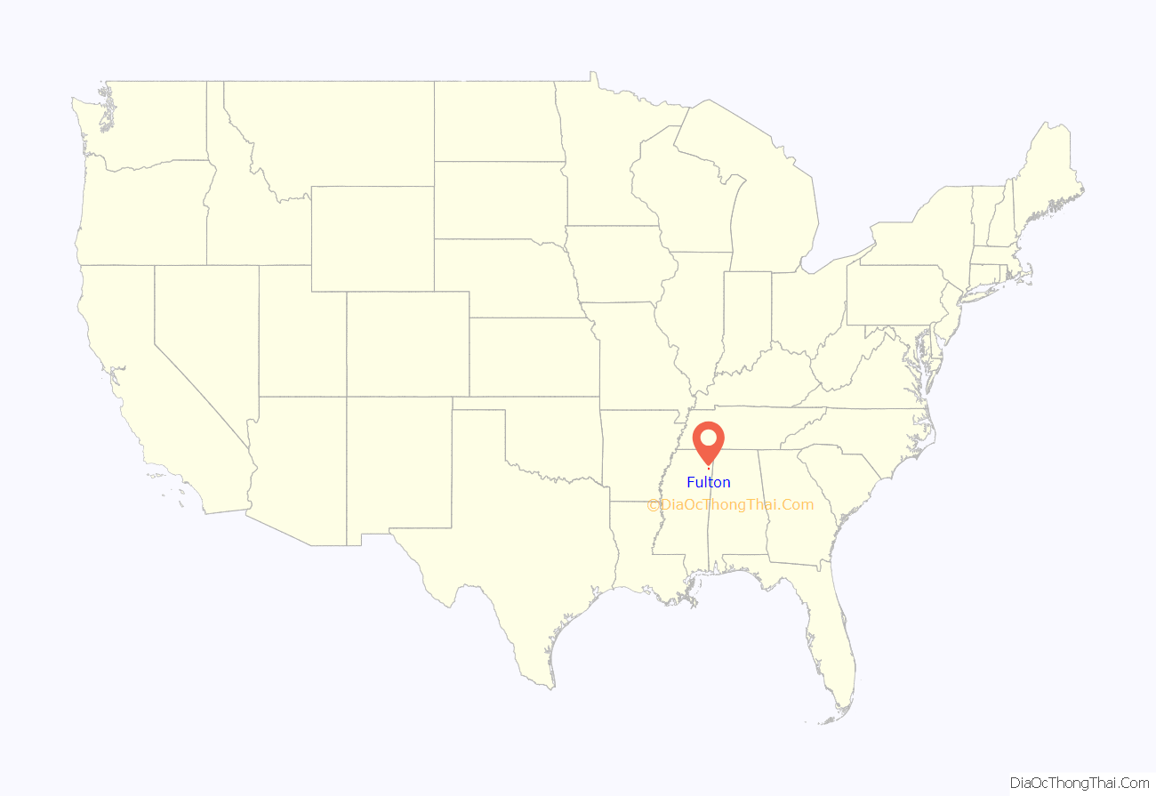
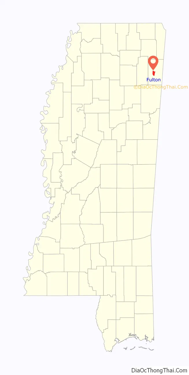
Fulton location map. Where is Fulton city?
History
Fulton is named for Robert Fulton, inventor of the steamboat. The U.S. post office was established on July 26, 1837, marking the official launch of the service in Fulton. This was followed by incorporation on May 11, 1837.
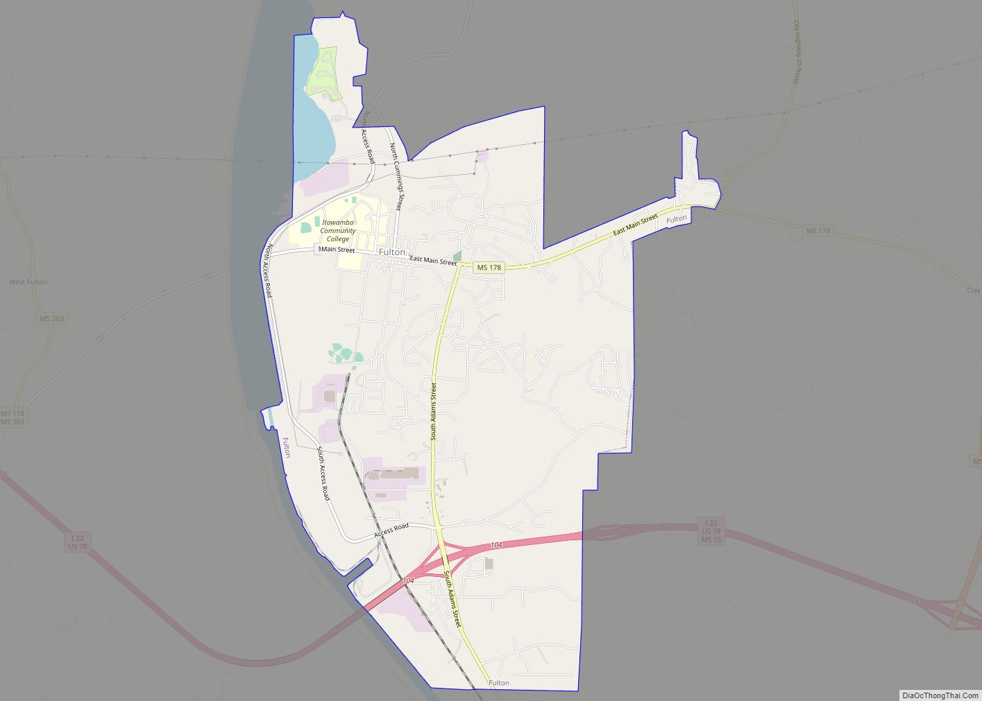
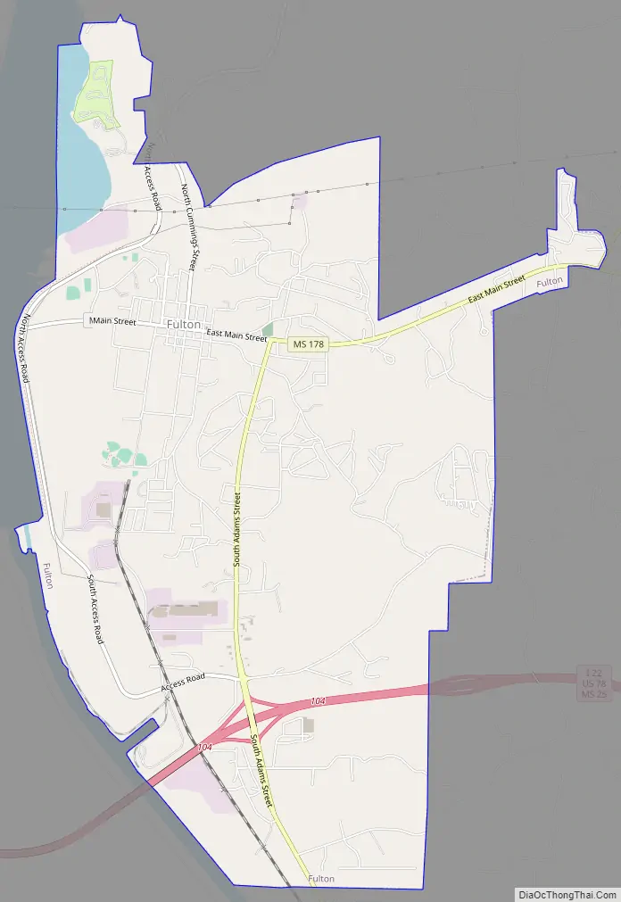
Fulton Road Map
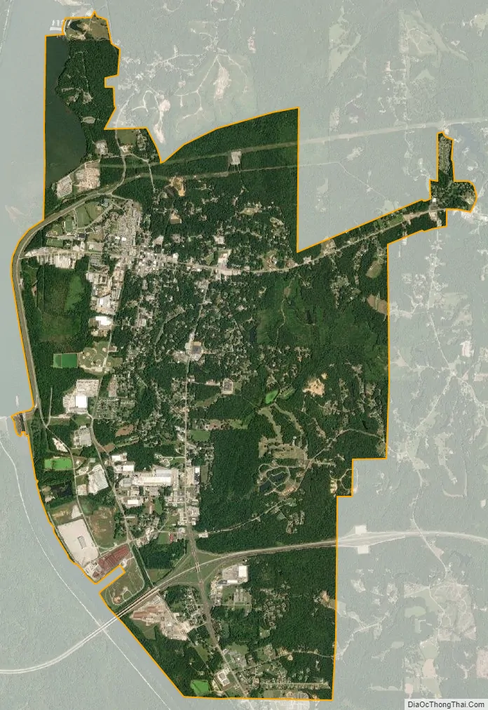
Fulton city Satellite Map
Geography
Fulton is located west of the center of Itawamba County at 34°15′58″N 88°24′5″W / 34.26611°N 88.40139°W / 34.26611; -88.40139 (34.266110, -88.401358). It is bordered to the west by the Tennessee–Tombigbee Waterway.
Interstate 22/U.S. Route 78 passes through the southern part of the city, with access from Exit 104 (S. Adams Street). I-22 leads west 19 miles (31 km) to Tupelo and east 25 miles (40 km) to Hamilton, Alabama. Mississippi Highway 25 passes through the southeastern part of Fulton, leading south 14 miles (23 km) to Smithville and north 26 miles (42 km) to Belmont.
According to the United States Census Bureau, Fulton has a total area of 8.7 square miles (22.6 km), of which 8.5 square miles (22.0 km) are land and 0.23 square miles (0.6 km), or 2.46%, are water.
See also
Map of Mississippi State and its subdivision:- Adams
- Alcorn
- Amite
- Attala
- Benton
- Bolivar
- Calhoun
- Carroll
- Chickasaw
- Choctaw
- Claiborne
- Clarke
- Clay
- Coahoma
- Copiah
- Covington
- Desoto
- Forrest
- Franklin
- George
- Greene
- Grenada
- Hancock
- Harrison
- Hinds
- Holmes
- Humphreys
- Issaquena
- Itawamba
- Jackson
- Jasper
- Jefferson
- Jefferson Davis
- Jones
- Kemper
- Lafayette
- Lamar
- Lauderdale
- Lawrence
- Leake
- Lee
- Leflore
- Lincoln
- Lowndes
- Madison
- Marion
- Marshall
- Monroe
- Montgomery
- Neshoba
- Newton
- Noxubee
- Oktibbeha
- Panola
- Pearl River
- Perry
- Pike
- Pontotoc
- Prentiss
- Quitman
- Rankin
- Scott
- Sharkey
- Simpson
- Smith
- Stone
- Sunflower
- Tallahatchie
- Tate
- Tippah
- Tishomingo
- Tunica
- Union
- Walthall
- Warren
- Washington
- Wayne
- Webster
- Wilkinson
- Winston
- Yalobusha
- Yazoo
- Alabama
- Alaska
- Arizona
- Arkansas
- California
- Colorado
- Connecticut
- Delaware
- District of Columbia
- Florida
- Georgia
- Hawaii
- Idaho
- Illinois
- Indiana
- Iowa
- Kansas
- Kentucky
- Louisiana
- Maine
- Maryland
- Massachusetts
- Michigan
- Minnesota
- Mississippi
- Missouri
- Montana
- Nebraska
- Nevada
- New Hampshire
- New Jersey
- New Mexico
- New York
- North Carolina
- North Dakota
- Ohio
- Oklahoma
- Oregon
- Pennsylvania
- Rhode Island
- South Carolina
- South Dakota
- Tennessee
- Texas
- Utah
- Vermont
- Virginia
- Washington
- West Virginia
- Wisconsin
- Wyoming