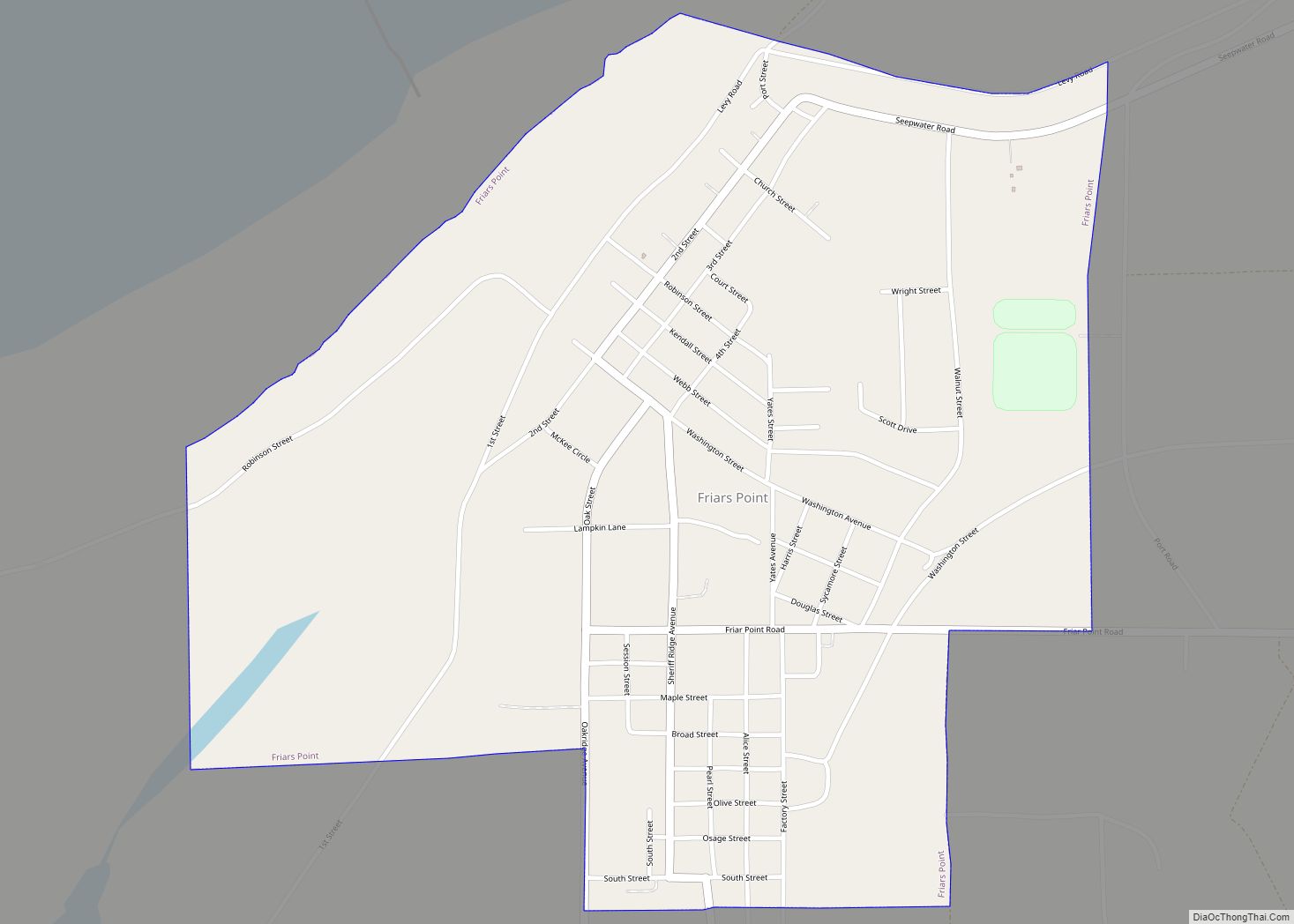
Friars Point is a town in Coahoma County, Mississippi, United States. Per the 2020 census, the population was 896.
Situated on the Mississippi River, Friars Point was once a busy port town, and remains the only place in Coahoma County with public access to the river’s shore.
| Name: | Friars Point town |
|---|---|
| LSAD Code: | 43 |
| LSAD Description: | town (suffix) |
| State: | Mississippi |
| County: | Coahoma County |
| Incorporated: | 1852 |
| Elevation: | 174 ft (53 m) |
| Total Area: | 1.12 sq mi (2.91 km²) |
| Land Area: | 1.10 sq mi (2.85 km²) |
| Water Area: | 0.02 sq mi (0.06 km²) |
| Total Population: | 896 |
| Population Density: | 814.55/sq mi (314.45/km²) |
| ZIP code: | 38631 |
| Area code: | 662 |
| FIPS code: | 2826060 |
| GNISfeature ID: | 0670205 |
Online Interactive Map
Click on ![]() to view map in "full screen" mode.
to view map in "full screen" mode.
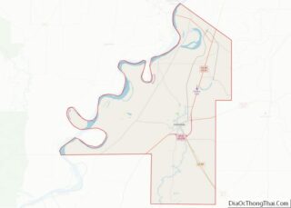
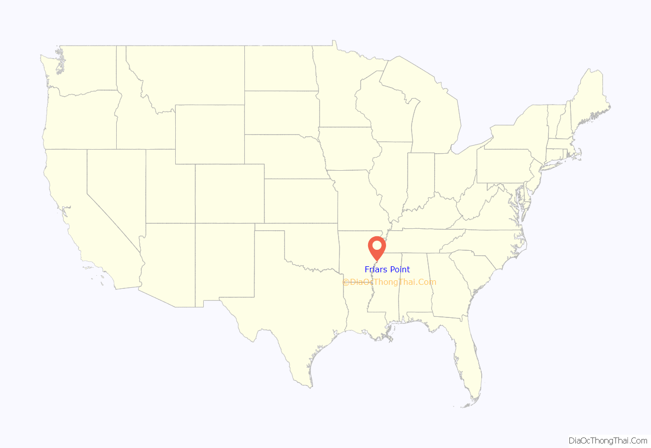
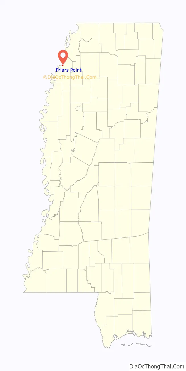
Friars Point location map. Where is Friars Point town?
History
Friars Point is one of two hypothesized locations where Spanish explorer Hernando de Soto may have crossed the Mississippi River (the other is Commerce, Mississippi).
The town was founded in 1836 and originally called “Farrar’s Point”. When the town incorporated in 1852, its name was changed to “Friar’s Point” to honor Robert Friar, an early settler, legislator, and businessman who sold fuel to passing steamboats. In 1850, the county seat was moved from the nearby town of Delta to Friars Point.
Strategically situated at a bend in the Mississippi River, Friars Point flourished before the Civil War as the largest shipping center for cotton south of Memphis.
During the Civil War, Union troops occupied and burned portions of the town. The Robinson-Slack-Marinelli House (now the Minie Ball House), which still stands and bears the mark of shelling from gunboats, was used as a headquarters by Union General Napoleon Bonaparte Buford. General William Tecumseh Sherman and Admiral David Dixon Porter used Friars Point as a rendezvous for 45 transport ships in December 1862, prior to attacking Vicksburg. Friars Point was also home to Confederate Brigadier General James L. Alcorn, whose grave and former plantation, Eagles Nest, are located a short distance east of the town. Alcorn turned from Whig to Republican after the war, and went on to become governor with the support of the large number of “carpetbaggers” who had settled in Friars Point.
In 1875, during Reconstruction violence from the Democrats, Alcorn led a white force against black Republicans at Friar’s Point. The battle led to a number of people being killed, and served to suppress the black vote, allowing conservative Democrats to regain political power.
The famous gunman and train robber Jesse James came to Friars Point one evening during the 1880s. He visited with the Methodist minister, then played poker and had some drinks at the local saloon. The next morning he was gone.
The Yazoo and Mississippi Valley Railroad was completed to Friars Point in 1887.
In 1888, the county jail at Friars Point was completely destroyed by fire, killing five prisoners.
Charles Lindbergh ran out of gas while flying his plane over Friars Point in 1924, and landed at a place he later called “The Haunted House”.
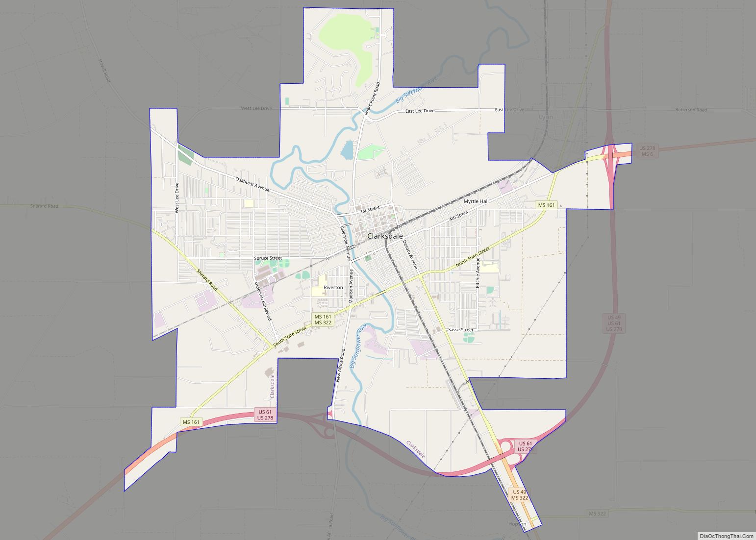
As nearby Clarksdale grew in population and influence, it challenged Friars Point’s hold on the county government. In 1892, Coahoma County was divided into two jurisdictions, one going to Friars Point and the other to Clarksdale. In 1930, the county seat was given exclusively to Clarksdale. Historian Lawrence J. Nelson wrote that by that point, “Friars Point had receded into a sleepy river community.”
In the 1930s there was ferry service between Friars Point and Helena, Arkansas. The cost was one dollar for a car and driver and 25 cents per passenger.
On April 26, 2011, a tornado—part of the 2011 Super Outbreak—hit Friars Point. The tornado was rated EF0, with estimated wind speeds of 75 mph (121 km/h).
Time magazine wrote in 2013:
Delta blues
Muddy Waters said the only time he saw Robert Johnson play was on the front porch of Hirsberg’s Drugstore in Friars Point. A crowd had gathered around Johnson, who was playing ferociously. “I stopped and peeked over,” he said, “and then I left because he was a dangerous man.” In a 1937 recording, Johnson sang, “Just come on back to Friars Point, mama, and barrelhouse all night long.” In Johnson’s “Traveling Riverside Blues” he sang, “I got womens in Vicksburg, clean on into Tennessee, but my Friar’s Point rider, now, hops all over me.”
The Mississippi Blues Commission placed a Blues Trail marker in Friars Point in recognition of musician Robert Nighthawk, who at various times called Friars Point home. In 1940, Nighthawk recorded “Friars Point Blues”, singing of “going back to Friars Point, down in sweet old Dixie Land.” When dedicating the marker, Governor Haley Barbour proclaimed:
“Friar’s Point” is a song on blues musician Susan Tedeschi’s 1998 album Just Won’t Burn.
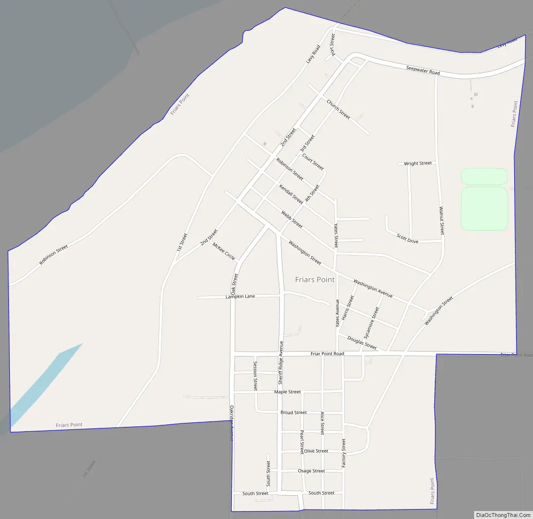
Friars Point Road Map
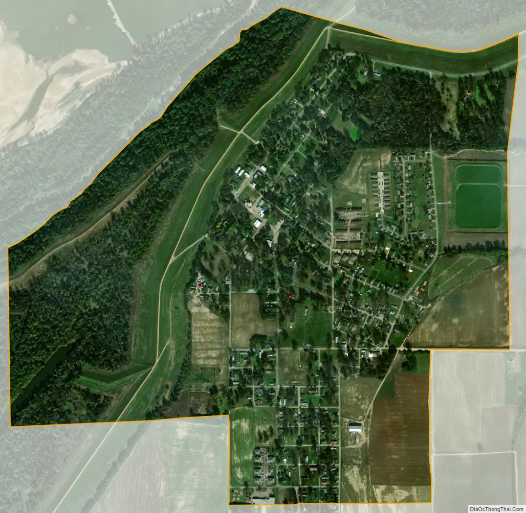
Friars Point city Satellite Map
Geography
Friars Point is located in northern Coahoma County, close to the Mississippi River, though the river’s channel has moved north over time, away from the town. The town is 9 miles (14 km) west of highways 49 and 61, and 13 miles (21 km) north of Clarksdale, the county seat. According to the United States Census Bureau, the town has a total area of 1.1 square miles (2.9 km), of which 0.02 square miles (0.06 km), or 2.10%, is water.
See also
Map of Mississippi State and its subdivision:- Adams
- Alcorn
- Amite
- Attala
- Benton
- Bolivar
- Calhoun
- Carroll
- Chickasaw
- Choctaw
- Claiborne
- Clarke
- Clay
- Coahoma
- Copiah
- Covington
- Desoto
- Forrest
- Franklin
- George
- Greene
- Grenada
- Hancock
- Harrison
- Hinds
- Holmes
- Humphreys
- Issaquena
- Itawamba
- Jackson
- Jasper
- Jefferson
- Jefferson Davis
- Jones
- Kemper
- Lafayette
- Lamar
- Lauderdale
- Lawrence
- Leake
- Lee
- Leflore
- Lincoln
- Lowndes
- Madison
- Marion
- Marshall
- Monroe
- Montgomery
- Neshoba
- Newton
- Noxubee
- Oktibbeha
- Panola
- Pearl River
- Perry
- Pike
- Pontotoc
- Prentiss
- Quitman
- Rankin
- Scott
- Sharkey
- Simpson
- Smith
- Stone
- Sunflower
- Tallahatchie
- Tate
- Tippah
- Tishomingo
- Tunica
- Union
- Walthall
- Warren
- Washington
- Wayne
- Webster
- Wilkinson
- Winston
- Yalobusha
- Yazoo
- Alabama
- Alaska
- Arizona
- Arkansas
- California
- Colorado
- Connecticut
- Delaware
- District of Columbia
- Florida
- Georgia
- Hawaii
- Idaho
- Illinois
- Indiana
- Iowa
- Kansas
- Kentucky
- Louisiana
- Maine
- Maryland
- Massachusetts
- Michigan
- Minnesota
- Mississippi
- Missouri
- Montana
- Nebraska
- Nevada
- New Hampshire
- New Jersey
- New Mexico
- New York
- North Carolina
- North Dakota
- Ohio
- Oklahoma
- Oregon
- Pennsylvania
- Rhode Island
- South Carolina
- South Dakota
- Tennessee
- Texas
- Utah
- Vermont
- Virginia
- Washington
- West Virginia
- Wisconsin
- Wyoming