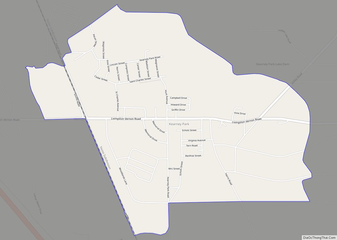
Kearney Park is an unincorporated community and census-designated place located on Livingston-Vernon Road in western Madison County, Mississippi. Kearney Park is approximately 2 miles (3.2 km) north of Flora (traveling Kearney Park Road) and approximately 5 miles (8.0 km) southeast of Bentonia. Kearney Park is part of the Jackson Metropolitan Statistical Area. Kearney Park has a zip ... Read more
Mississippi Cities and Places
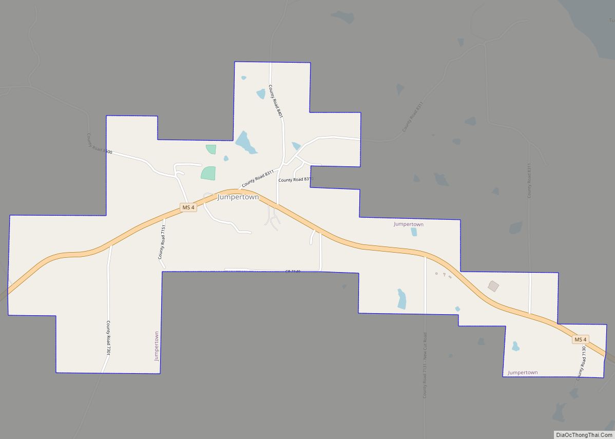
Jumpertown is a town in Prentiss County, Mississippi, United States. The population was 480 at the 2010 census. Jumpertown town overview: Name: Jumpertown town LSAD Code: 43 LSAD Description: town (suffix) State: Mississippi County: Prentiss County Elevation: 584 ft (178 m) Total Area: 1.79 sq mi (4.63 km²) Land Area: 1.79 sq mi (4.63 km²) Water Area: 0.00 sq mi (0.00 km²) Total Population: 425 Population ... Read more
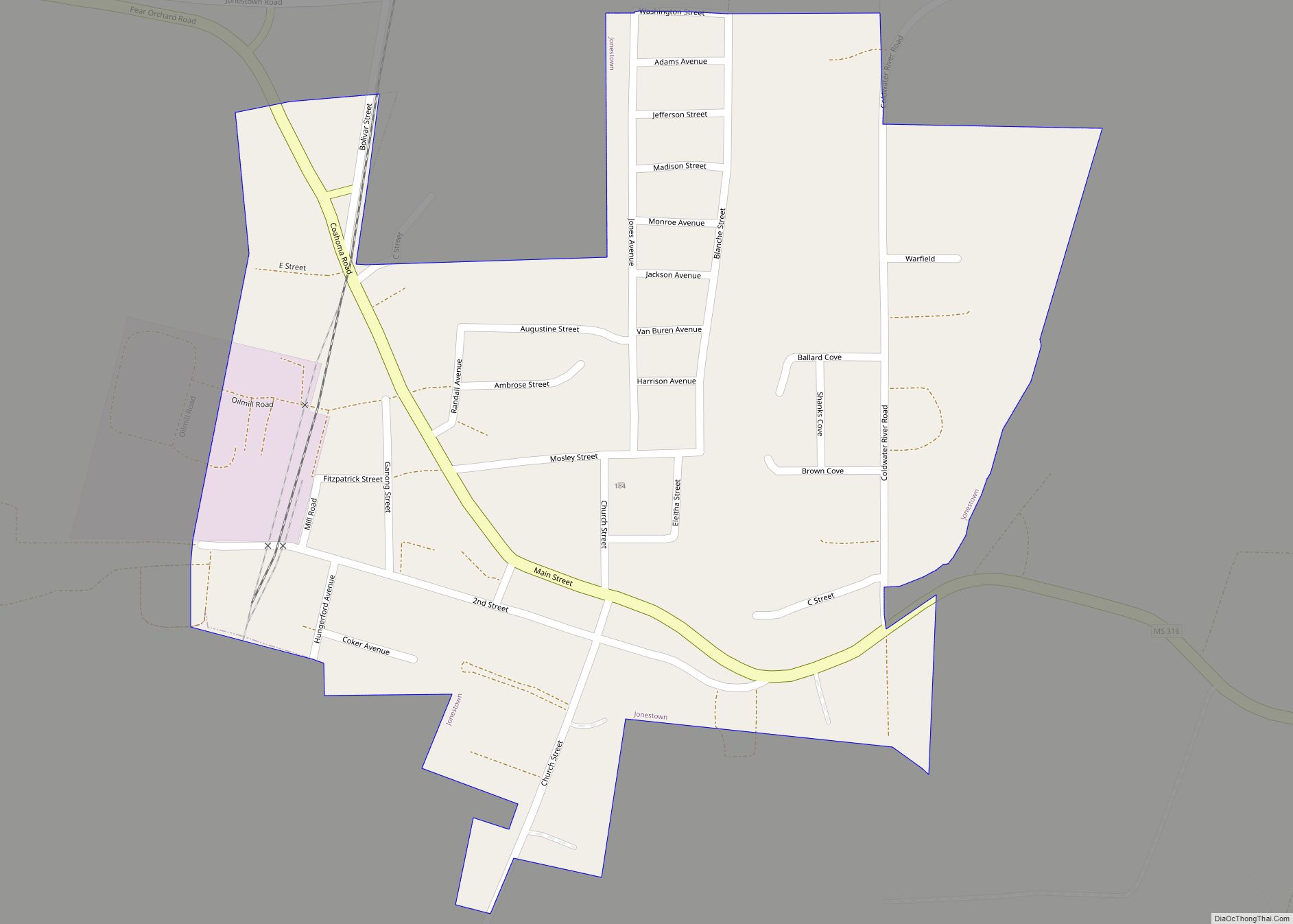
Jonestown is a town in Coahoma County, Mississippi, United States. Per the 2020 census, the population was 962. Jonestown town overview: Name: Jonestown town LSAD Code: 43 LSAD Description: town (suffix) State: Mississippi County: Coahoma County Elevation: 174 ft (53 m) Total Area: 0.39 sq mi (1.00 km²) Land Area: 0.39 sq mi (1.00 km²) Water Area: 0.00 sq mi (0.00 km²) Total Population: 962 Population ... Read more
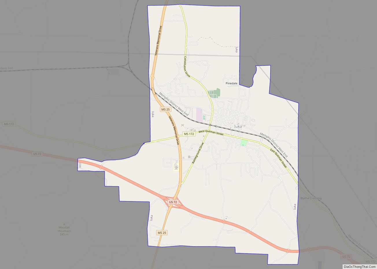
Iuka is a city in and the county seat of Tishomingo County, Mississippi, United States. Its population was 3,028 at the 2010 census. Woodall Mountain, the highest point in Mississippi, is located just south of Iuka. Iuka city overview: Name: Iuka city LSAD Code: 25 LSAD Description: city (suffix) State: Mississippi County: Tishomingo County Elevation: ... Read more
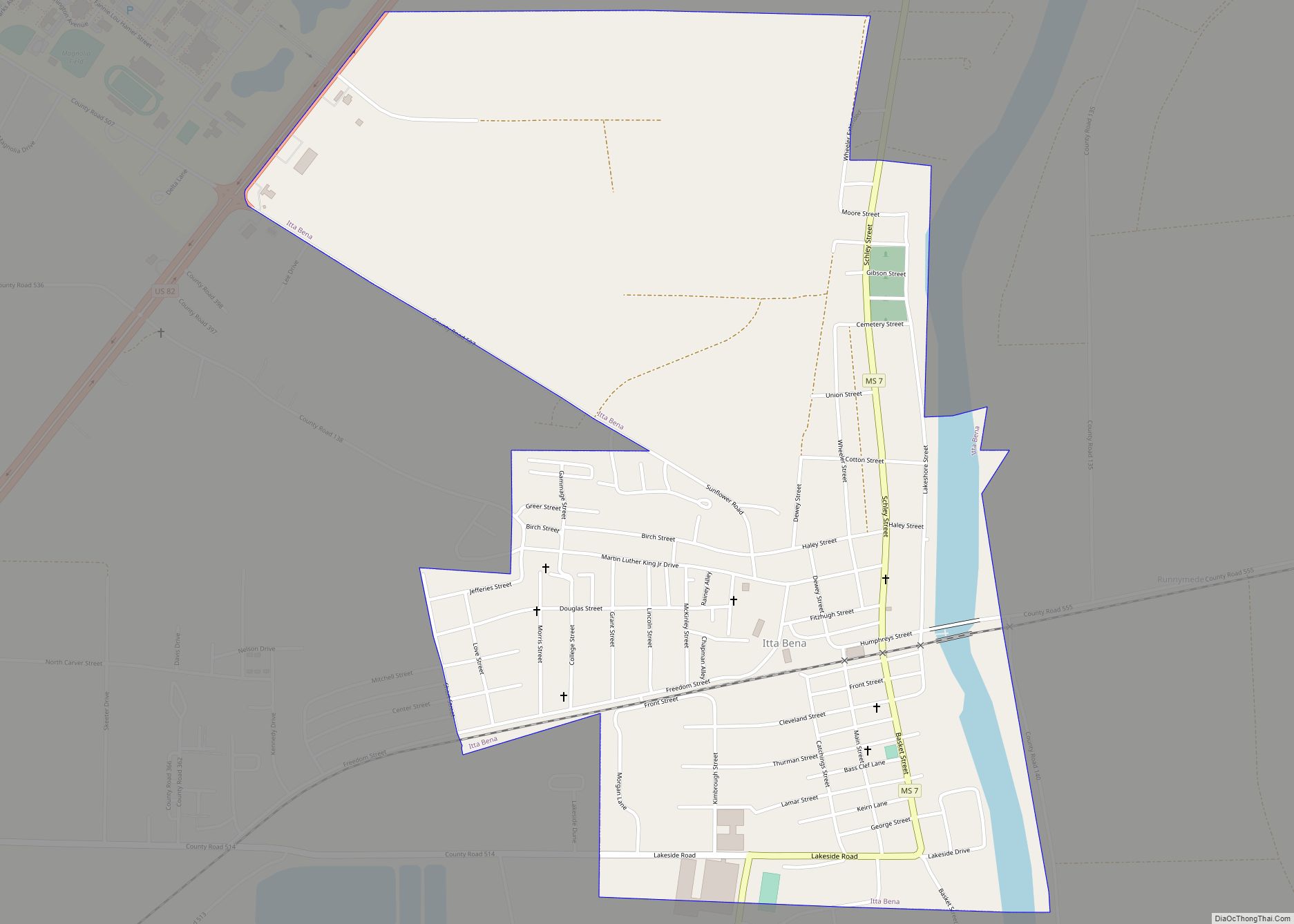
Itta Bena is a city in Leflore County, Mississippi, United States. The population was 2,049 at the 2010 census. The town’s name is derived from the Choctaw phrase iti bina, meaning “forest camp”. Itta Bena is part of the Greenwood, Mississippi micropolitan area. It developed as a trading center of an area of cotton plantations. ... Read more
Lake is a town in Newton and Scott counties, Mississippi. The population was 408 at the 2000 census. Lake town overview: Name: Lake town LSAD Code: 43 LSAD Description: town (suffix) State: Mississippi County: Newton County, Scott County Elevation: 440 ft (134 m) Total Area: 5.06 sq mi (13.11 km²) Land Area: 5.06 sq mi (13.10 km²) Water Area: 0.01 sq mi (0.02 km²) Total Population: ... Read more
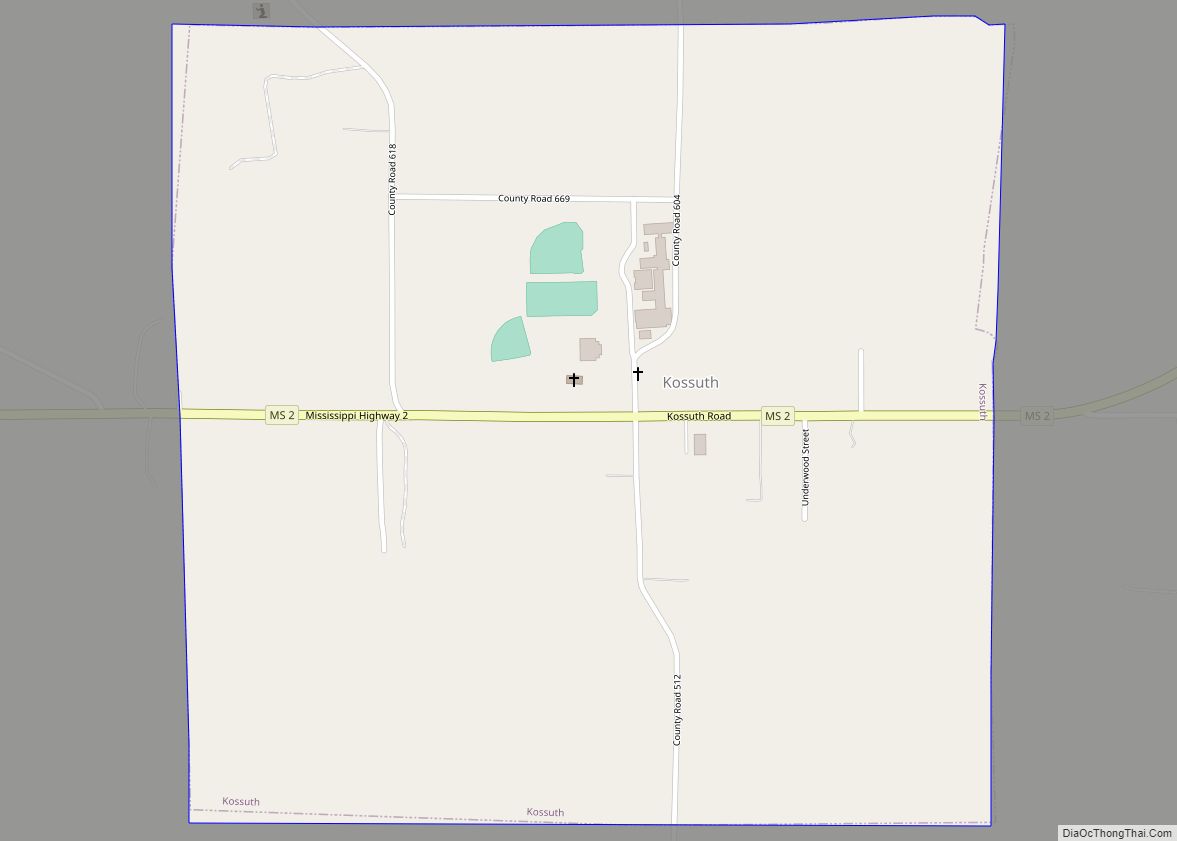
Kossuth is a village in Alcorn County, Mississippi, United States. The population was 209 at the 2010 census. Kossuth village overview: Name: Kossuth village LSAD Code: 47 LSAD Description: village (suffix) State: Mississippi County: Alcorn County Elevation: 463 ft (141 m) Total Area: 0.97 sq mi (2.50 km²) Land Area: 0.96 sq mi (2.50 km²) Water Area: 0.00 sq mi (0.01 km²) Total Population: 160 Population ... Read more
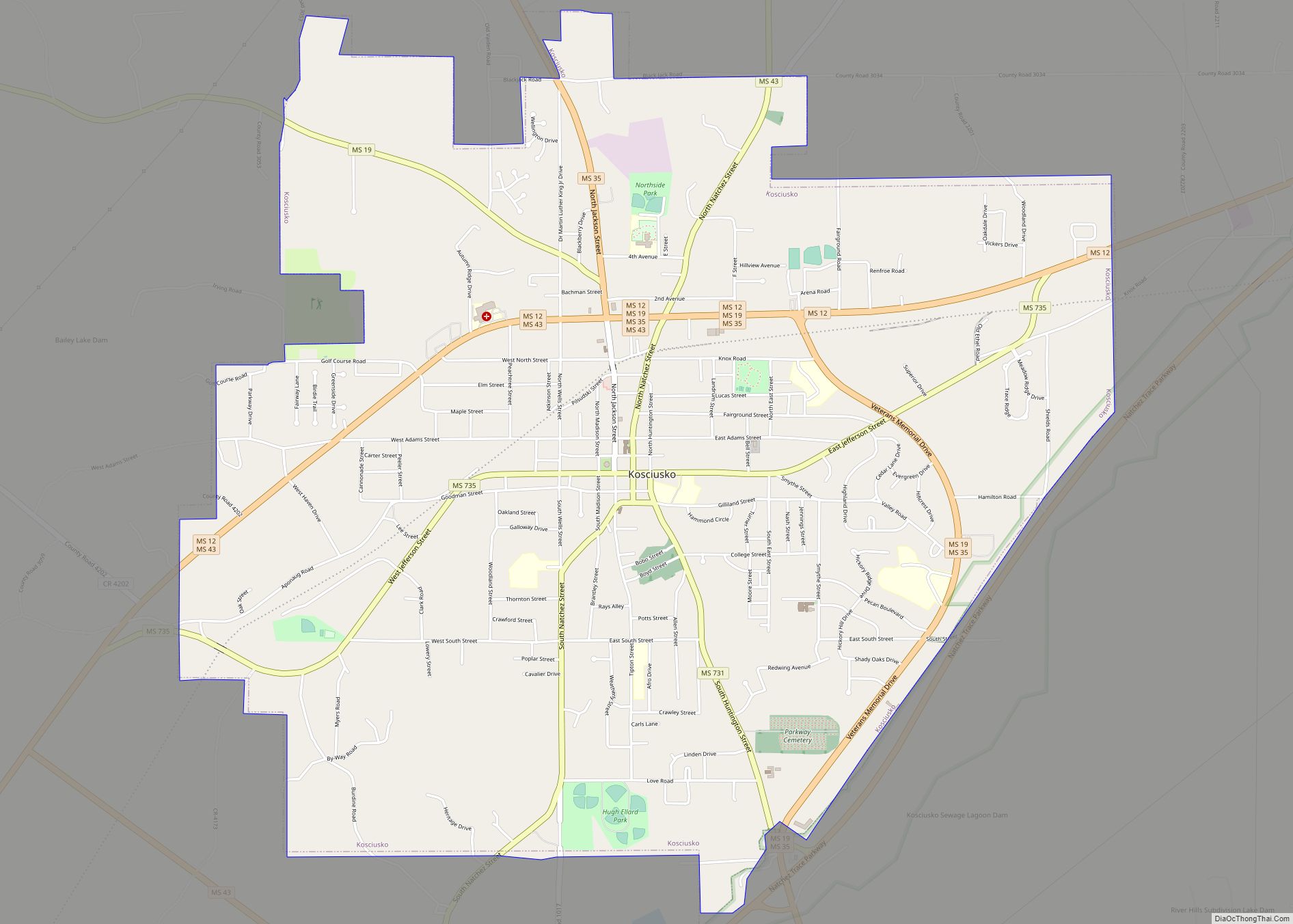
Kosciusko (/ˌkɒsiˈʌskoʊ/) is a city in Attala County, Mississippi, United States. The population was 7,402 at the 2010 census. It is the county seat of Attala County. Kosciusko city overview: Name: Kosciusko city LSAD Code: 25 LSAD Description: city (suffix) State: Mississippi County: Attala County Elevation: 479 ft (146 m) Total Area: 7.55 sq mi (19.56 km²) Land Area: 7.54 sq mi ... Read more
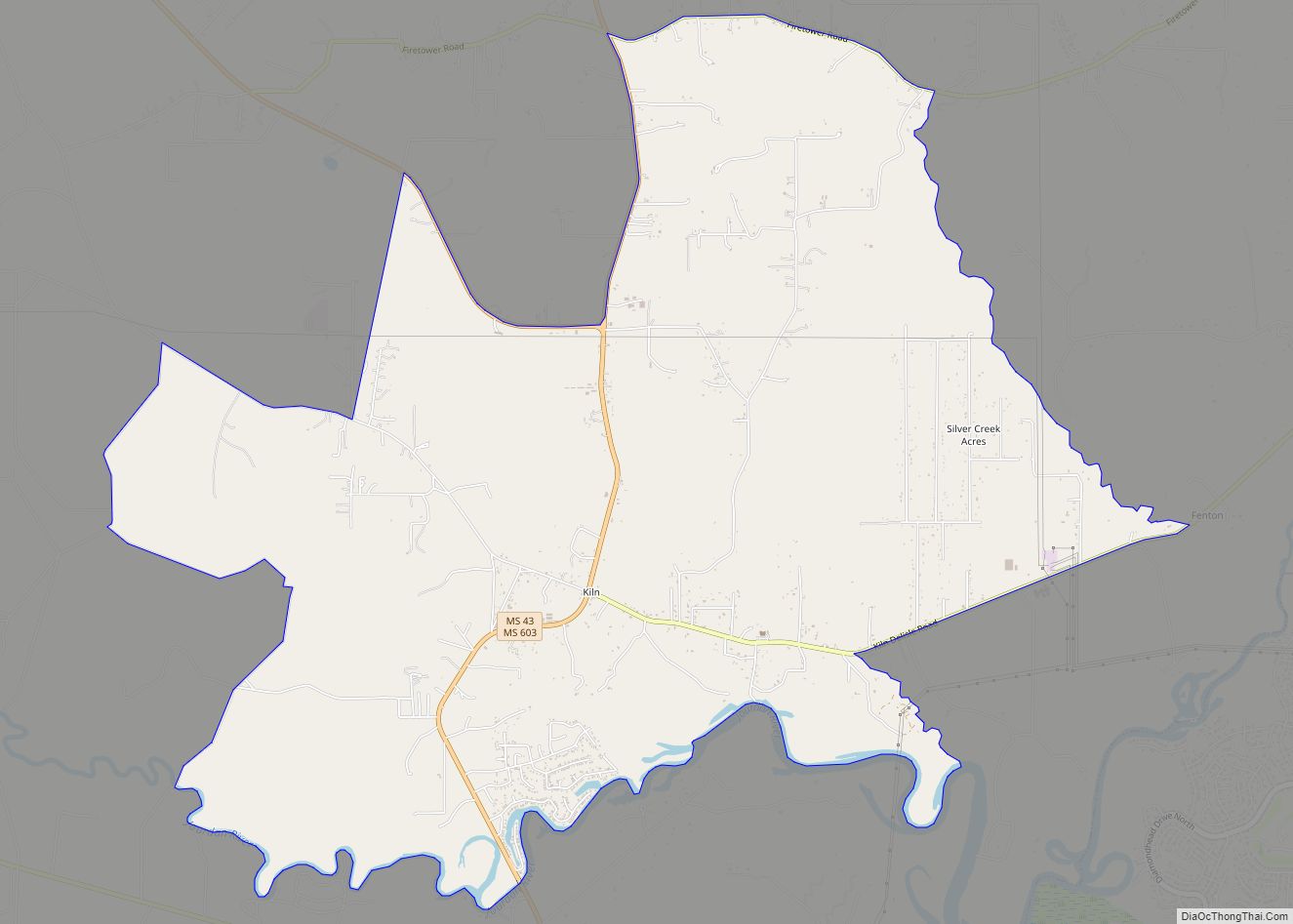
Kiln (pronounced “Kill”) is an unincorporated community and census-designated place (CDP) in Hancock County, Mississippi, United States. The town is located about 50 miles (80 km) northeast of New Orleans, Louisiana. It is part of the Gulfport-Biloxi Metropolitan Statistical Area. The population was 2,238 at the 2010 census. Kiln CDP overview: Name: Kiln CDP LSAD Code: ... Read more
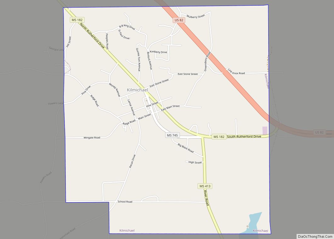
Kilmichael is a town in Montgomery County, Mississippi, United States. Per the 2020 Census, the population was 639. Kilmichael town overview: Name: Kilmichael town LSAD Code: 43 LSAD Description: town (suffix) State: Mississippi County: Montgomery County Elevation: 361 ft (110 m) Total Area: 2.94 sq mi (7.62 km²) Land Area: 2.94 sq mi (7.61 km²) Water Area: 0.00 sq mi (0.01 km²) Total Population: 639 Population ... Read more
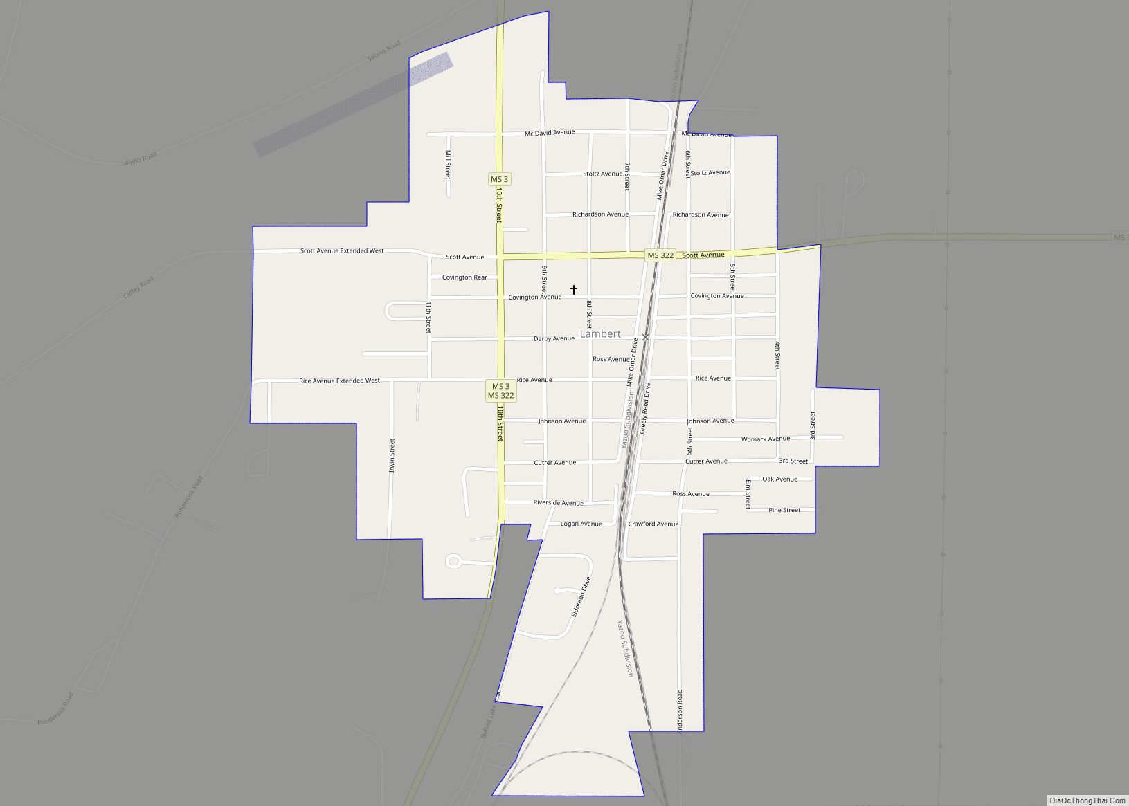
Lambert is a town in Quitman County, Mississippi. The population was 1,638 at the 2010 census. Lambert town overview: Name: Lambert town LSAD Code: 43 LSAD Description: town (suffix) State: Mississippi County: Quitman County Elevation: 157 ft (48 m) Total Area: 0.85 sq mi (2.19 km²) Land Area: 0.85 sq mi (2.19 km²) Water Area: 0.00 sq mi (0.00 km²) Total Population: 1,273 Population Density: 1,504.73/sq mi ... Read more
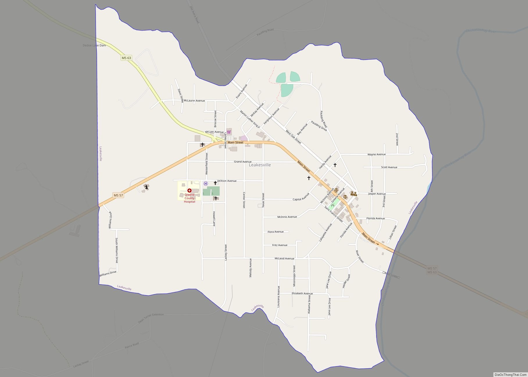
Leakesville is a town in and the county seat of Greene County, Mississippi, United States. It is located along the Chickasawhay River in Greene County, Mississippi, United States. It is served by the junction of Mississippi routes 57 and 63. As of the 2010 census, the rural town population was 898, down from 1,026 at ... Read more
