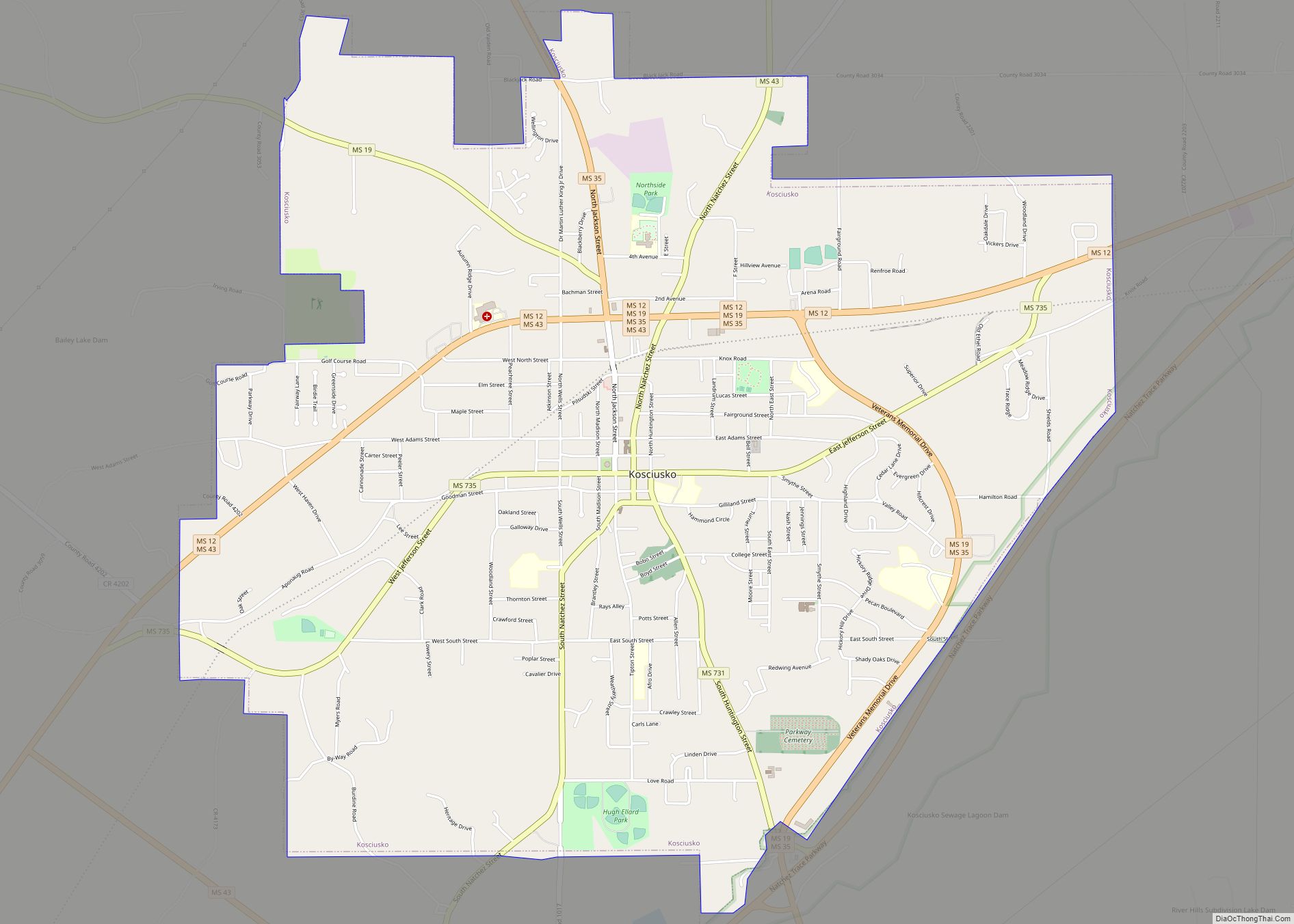
Kosciusko (/ˌkɒsiˈʌskoʊ/) is a city in Attala County, Mississippi, United States. The population was 7,402 at the 2010 census. It is the county seat of Attala County.
| Name: | Kosciusko city |
|---|---|
| LSAD Code: | 25 |
| LSAD Description: | city (suffix) |
| State: | Mississippi |
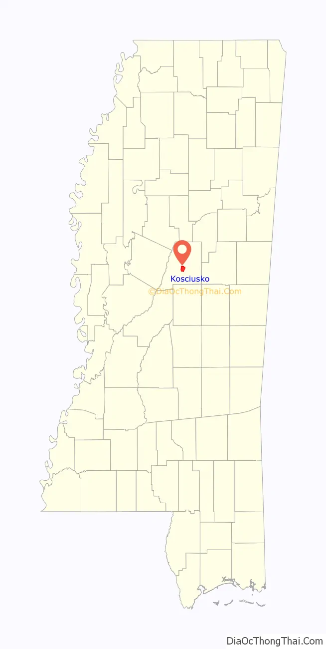
| County: | Attala County |
| Elevation: | 479 ft (146 m) |
| Total Area: | 7.55 sq mi (19.56 km²) |
| Land Area: | 7.54 sq mi (19.53 km²) |
| Water Area: | 0.01 sq mi (0.02 km²) |
| Total Population: | 7,114 |
| Population Density: | 943.38/sq mi (364.22/km²) |
| ZIP code: | 39090 |
| Area code: | 662 |
| FIPS code: | 2838320 |
| GNISfeature ID: | 0672213 |
| Website: | kosciusko.ms |
Online Interactive Map
Click on ![]() to view map in "full screen" mode.
to view map in "full screen" mode.
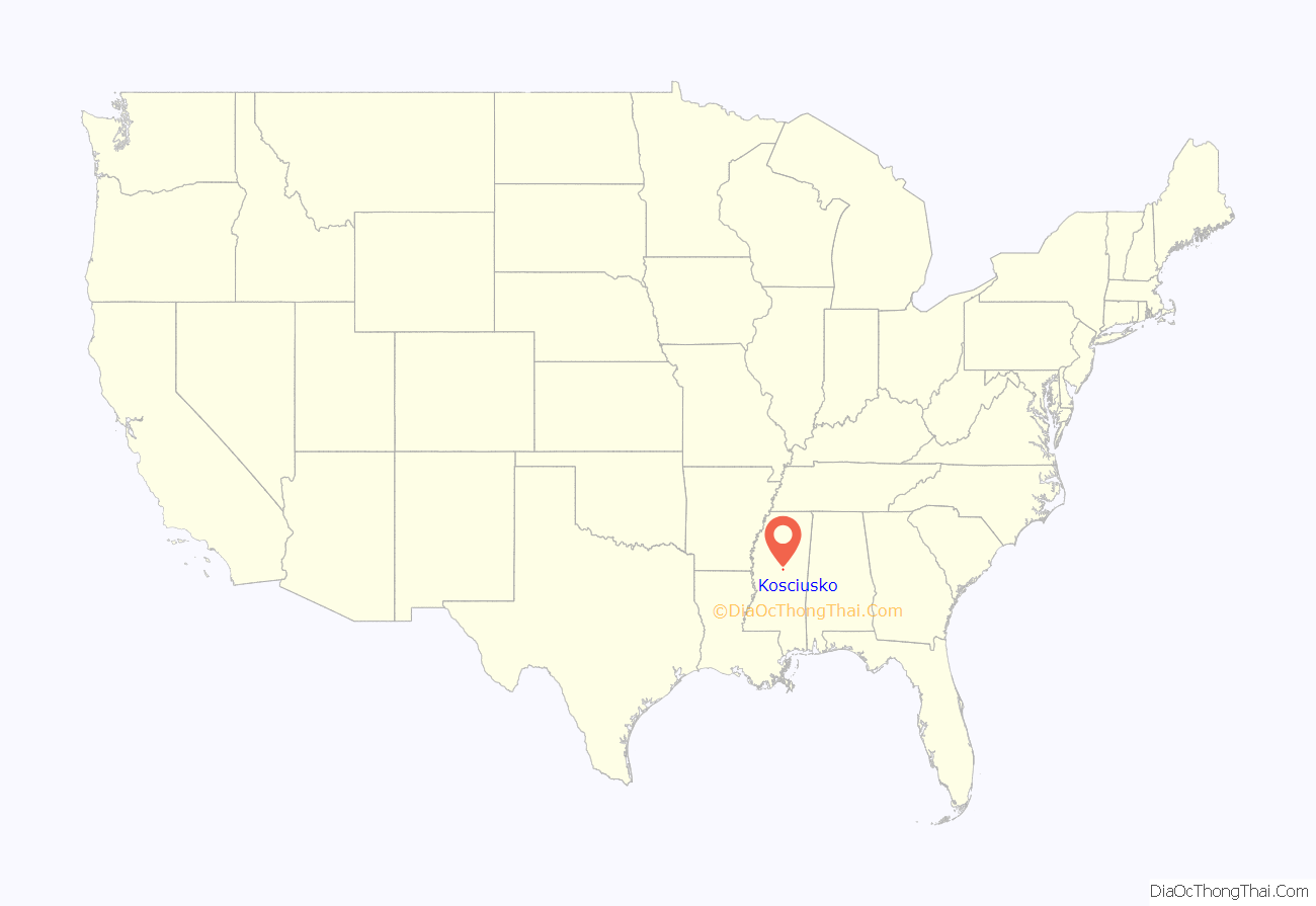
Kosciusko location map. Where is Kosciusko city?
History
Shortly before the War of 1812, David Choate, a French trader along with his wife, a Choctaw, opened the Choate Stand, an inn along the Natchez Trace. They chose a location near the intersection of the trace and a cross path that led to the Creek Indian Nation, where there was a natural spring to provide fresh water, at the approximate location of the current town square. Journals from the war of 1812 indicate that Andrew Jackson received supplies at Choate Stand. In 1850, the Choate family was forcibly removed to Indian Territory in Oklahoma by the Indian Removal Act, signed by Andrew Jackson. In 2017 Kosciusko inaugurated an annual Return to Redbud Springs Festival to honor this history.
The settlement was at one time named Red Bud Springs for a natural spring that was present in the city. Later, Redbud Springs was renamed Kosciusko, for General Tadeusz Kościuszko, a Polish officer who served with the Continental Army and assisted its military efforts during the American Revolution. His name has been anglicized as ‘Kosciusko’.
Throughout the 19th century, cotton was the predominant crop, and remains important in the area.
Kosciusko was the location of Magnolia Bible College from 1976 to 2008.
Kosciusko Road Map
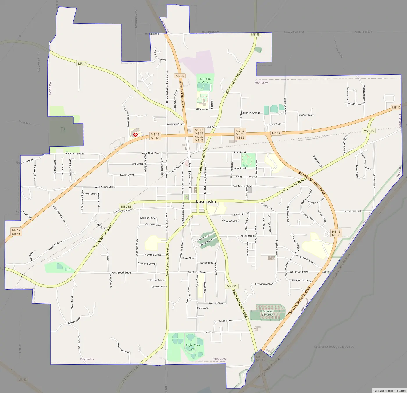
Kosciusko city Satellite Map

Geography
Kosciusko is located along the Yockanookany River, 62 mi (100 km) northeast of Jackson.
According to the United States Census Bureau, the city has a total area of 7.6 square miles (20 km), of which 7.5 square miles (19 km) is land and 0.13% is water.
Climate
The climate is characterized by hot, humid summers and generally mild to cool winters. According to the Köppen Climate Classification system, Kosciusko has a humid subtropical climate, abbreviated “Cfa” on climate maps.
The data below are from the WRCC, compiled from 1893 to the time this chart was created (July 2018).
See also
Map of Mississippi State and its subdivision:- Adams
- Alcorn
- Amite
- Attala
- Benton
- Bolivar
- Calhoun
- Carroll
- Chickasaw
- Choctaw
- Claiborne
- Clarke
- Clay
- Coahoma
- Copiah
- Covington
- Desoto
- Forrest
- Franklin
- George
- Greene
- Grenada
- Hancock
- Harrison
- Hinds
- Holmes
- Humphreys
- Issaquena
- Itawamba
- Jackson
- Jasper
- Jefferson
- Jefferson Davis
- Jones
- Kemper
- Lafayette
- Lamar
- Lauderdale
- Lawrence
- Leake
- Lee
- Leflore
- Lincoln
- Lowndes
- Madison
- Marion
- Marshall
- Monroe
- Montgomery
- Neshoba
- Newton
- Noxubee
- Oktibbeha
- Panola
- Pearl River
- Perry
- Pike
- Pontotoc
- Prentiss
- Quitman
- Rankin
- Scott
- Sharkey
- Simpson
- Smith
- Stone
- Sunflower
- Tallahatchie
- Tate
- Tippah
- Tishomingo
- Tunica
- Union
- Walthall
- Warren
- Washington
- Wayne
- Webster
- Wilkinson
- Winston
- Yalobusha
- Yazoo
- Alabama
- Alaska
- Arizona
- Arkansas
- California
- Colorado
- Connecticut
- Delaware
- District of Columbia
- Florida
- Georgia
- Hawaii
- Idaho
- Illinois
- Indiana
- Iowa
- Kansas
- Kentucky
- Louisiana
- Maine
- Maryland
- Massachusetts
- Michigan
- Minnesota
- Mississippi
- Missouri
- Montana
- Nebraska
- Nevada
- New Hampshire
- New Jersey
- New Mexico
- New York
- North Carolina
- North Dakota
- Ohio
- Oklahoma
- Oregon
- Pennsylvania
- Rhode Island
- South Carolina
- South Dakota
- Tennessee
- Texas
- Utah
- Vermont
- Virginia
- Washington
- West Virginia
- Wisconsin
- Wyoming