Kossuth is a village in Alcorn County, Mississippi, United States. The population was 209 at the 2010 census.
| Name: | Kossuth village |
|---|---|
| LSAD Code: | 47 |
| LSAD Description: | village (suffix) |
| State: | Mississippi |
| County: | Alcorn County |
| Elevation: | 463 ft (141 m) |
| Total Area: | 0.97 sq mi (2.50 km²) |
| Land Area: | 0.96 sq mi (2.50 km²) |
| Water Area: | 0.00 sq mi (0.01 km²) |
| Total Population: | 160 |
| Population Density: | 165.80/sq mi (64.05/km²) |
| ZIP code: | 38834 |
| Area code: | 662 |
| FIPS code: | 2838360 |
| GNISfeature ID: | 0672214 |
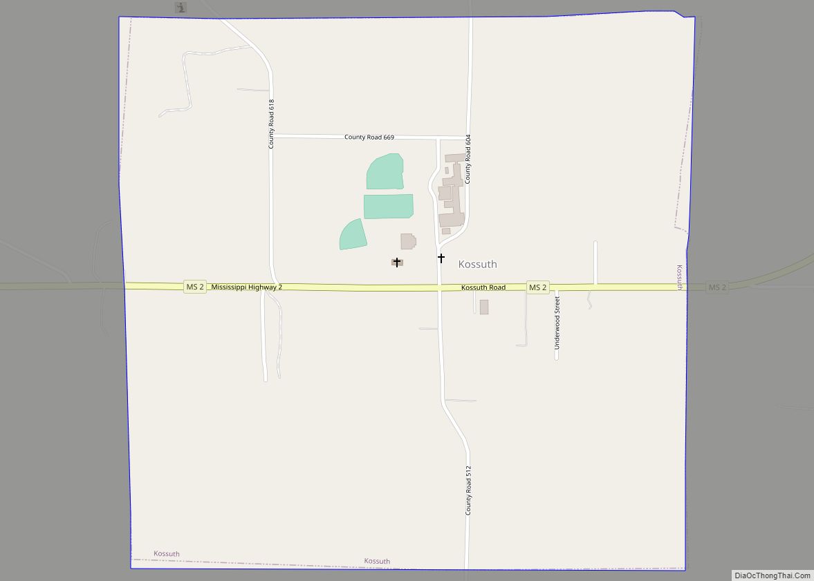
Online Interactive Map
Click on ![]() to view map in "full screen" mode.
to view map in "full screen" mode.
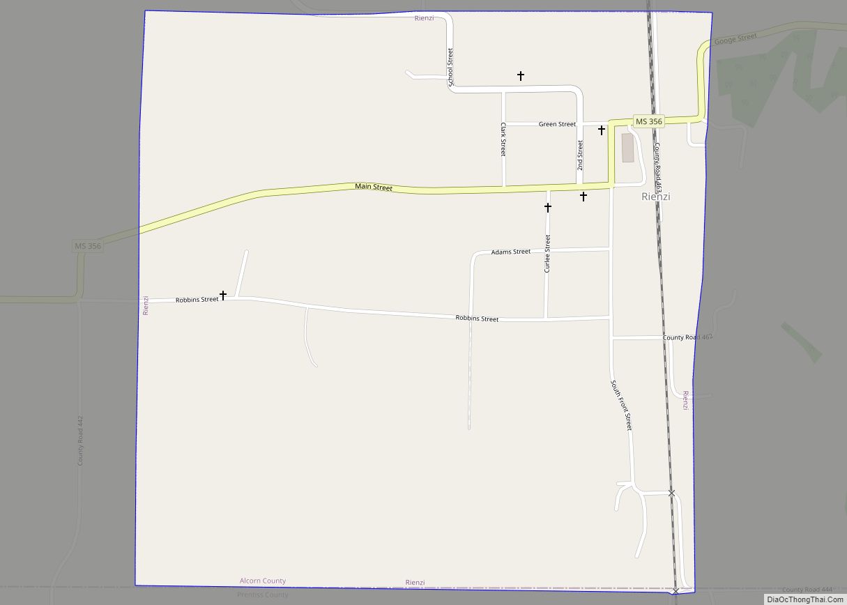
Kossuth location map. Where is Kossuth village?


History
Kossuth, located about 10 miles (16 km) southwest of Corinth, was founded in the 1840s as “New Hope”. In 1852, the town changed its name to Kossuth in honor of Lajos Kossuth, a Hungarian revolutionary hero who led the democratic, anti-Habsburg Hungarian Revolution of 1848.
Kossuth Road Map

Kossuth city Satellite Map

Geography
According to the United States Census Bureau, the village has a total area of 1.0 square mile (2.6 km), all land. The village is concentrated around the intersection of Mississippi Highway 2 (Kossuth Road) and County Road 604 southwest of Corinth. MS 2 connects Kossuth with U.S. Route 72 on the outskirts of Corinth. Wheeler Grove Road connects the village with U.S. Route 45 near Rienzi to the southeast.
Nearby communities
See also
Map of Mississippi State and its subdivision:- Adams
- Alcorn
- Amite
- Attala
- Benton
- Bolivar
- Calhoun
- Carroll
- Chickasaw
- Choctaw
- Claiborne
- Clarke
- Clay
- Coahoma
- Copiah
- Covington
- Desoto
- Forrest
- Franklin
- George
- Greene
- Grenada
- Hancock
- Harrison
- Hinds
- Holmes
- Humphreys
- Issaquena
- Itawamba
- Jackson
- Jasper
- Jefferson
- Jefferson Davis
- Jones
- Kemper
- Lafayette
- Lamar
- Lauderdale
- Lawrence
- Leake
- Lee
- Leflore
- Lincoln
- Lowndes
- Madison
- Marion
- Marshall
- Monroe
- Montgomery
- Neshoba
- Newton
- Noxubee
- Oktibbeha
- Panola
- Pearl River
- Perry
- Pike
- Pontotoc
- Prentiss
- Quitman
- Rankin
- Scott
- Sharkey
- Simpson
- Smith
- Stone
- Sunflower
- Tallahatchie
- Tate
- Tippah
- Tishomingo
- Tunica
- Union
- Walthall
- Warren
- Washington
- Wayne
- Webster
- Wilkinson
- Winston
- Yalobusha
- Yazoo
- Alabama
- Alaska
- Arizona
- Arkansas
- California
- Colorado
- Connecticut
- Delaware
- District of Columbia
- Florida
- Georgia
- Hawaii
- Idaho
- Illinois
- Indiana
- Iowa
- Kansas
- Kentucky
- Louisiana
- Maine
- Maryland
- Massachusetts
- Michigan
- Minnesota
- Mississippi
- Missouri
- Montana
- Nebraska
- Nevada
- New Hampshire
- New Jersey
- New Mexico
- New York
- North Carolina
- North Dakota
- Ohio
- Oklahoma
- Oregon
- Pennsylvania
- Rhode Island
- South Carolina
- South Dakota
- Tennessee
- Texas
- Utah
- Vermont
- Virginia
- Washington
- West Virginia
- Wisconsin
- Wyoming