Iuka is a city in and the county seat of Tishomingo County, Mississippi, United States. Its population was 3,028 at the 2010 census. Woodall Mountain, the highest point in Mississippi, is located just south of Iuka.
| Name: | Iuka city |
|---|---|
| LSAD Code: | 25 |
| LSAD Description: | city (suffix) |
| State: | Mississippi |
| County: | Tishomingo County |
| Elevation: | 561 ft (171 m) |
| Total Area: | 9.70 sq mi (25.12 km²) |
| Land Area: | 9.69 sq mi (25.11 km²) |
| Water Area: | 0.01 sq mi (0.01 km²) |
| Total Population: | 3,139 |
| Population Density: | 323.81/sq mi (125.03/km²) |
| ZIP code: | 38852 |
| Area code: | 662 |
| FIPS code: | 2835300 |
| GNISfeature ID: | 0671750 |
| Website: | iukams.com |
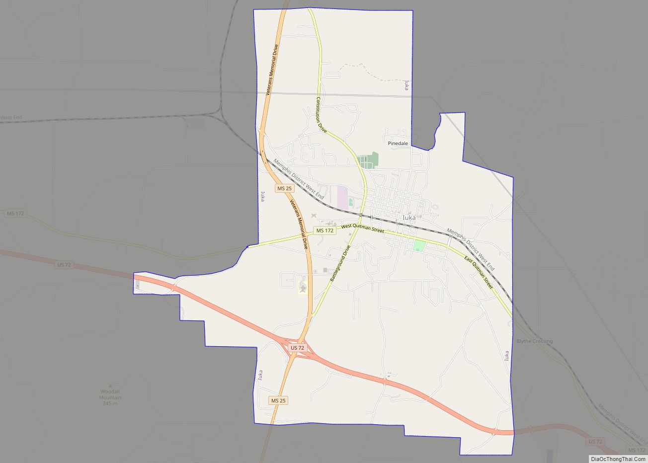
Online Interactive Map
Click on ![]() to view map in "full screen" mode.
to view map in "full screen" mode.
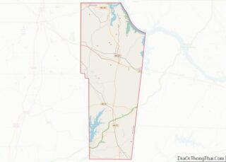
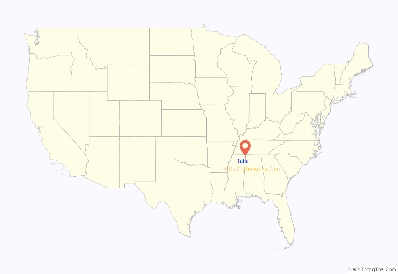
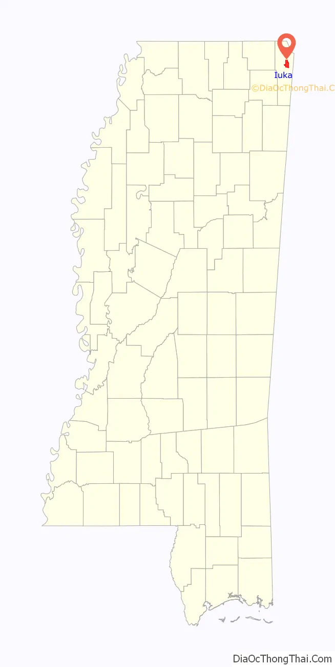
Iuka location map. Where is Iuka city?
History
Iuka is built on the site of a Chickasaw Indian village that is thought to have been subordinate to the settlement at Underwood Village. The name “Iuka” comes from the name of one of the chiefs of the village. Iuka was founded by David Hubbard, a wagon train scout.
Euro-American settlers arrived with the Memphis and Charleston Railroad in 1857. Before the American Civil War, the town boasted an all-female college, a boys’ military academy, and a fine hotel. The Civil War brought widespread devastation when a major engagement here occurred on September 19, 1862. The Battle of Iuka resulted in 1200 to 1500 killed or wounded. The dead Confederate soldiers were buried in a long trench that eventually became Shady Grove Cemetery.
The first normal school built in the former Confederacy after the Civil War, Iuka Normal Institute, was built here. However, the town did not return to prosperity for many years. The building of Pickwick Landing Dam and Pickwick Lake by the Tennessee Valley Authority brought activity back to the town.
In 1904, water from Iuka’s mineral springs won first prize for the purest and best mineral water at the World’s Fair in St. Louis.
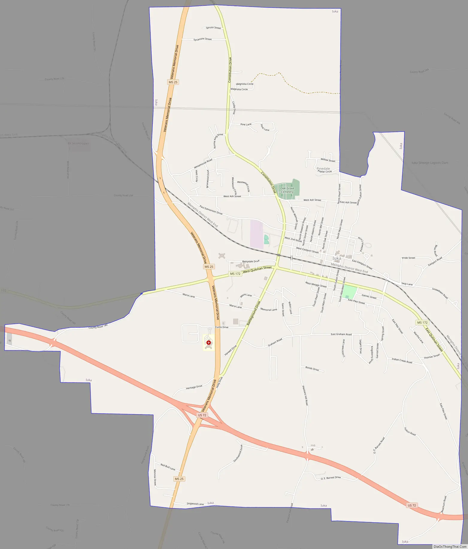
Iuka Road Map
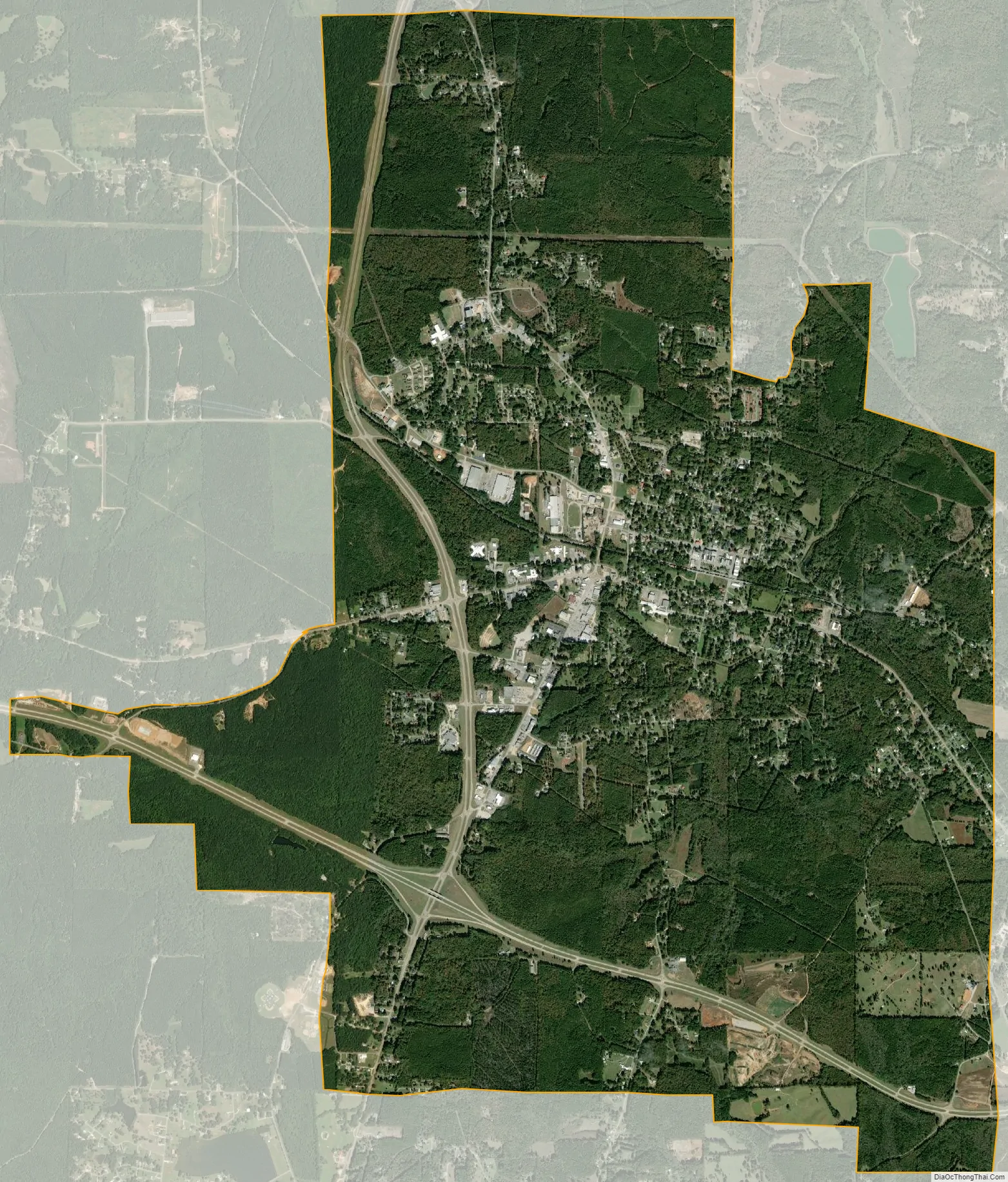
Iuka city Satellite Map
Geography
Iuka is located in northeast Mississippi. U.S. Route 72 runs through the southern part of the city from west to east, leading southeast 14 mi (23 km) to Cherokee, Alabama, and northwest 8 mi (13 km) to Burnsville. Mississippi Highway 25 runs to the west of downtown from south to north, leading north 16 mi (26 km) to Red Sulphur Springs, Tennessee, and south 13 mi (21 km) to Tishomingo.
According to the United States Census Bureau, the city has a total area of 9.7 square miles (25 km), all land.
Climate
Climate is characterized by relatively high temperatures and evenly distributed precipitation throughout the year. The Köppen Climate Classification subtype for this climate is “Cfa” (humid subtropical climate).
See also
Map of Mississippi State and its subdivision:- Adams
- Alcorn
- Amite
- Attala
- Benton
- Bolivar
- Calhoun
- Carroll
- Chickasaw
- Choctaw
- Claiborne
- Clarke
- Clay
- Coahoma
- Copiah
- Covington
- Desoto
- Forrest
- Franklin
- George
- Greene
- Grenada
- Hancock
- Harrison
- Hinds
- Holmes
- Humphreys
- Issaquena
- Itawamba
- Jackson
- Jasper
- Jefferson
- Jefferson Davis
- Jones
- Kemper
- Lafayette
- Lamar
- Lauderdale
- Lawrence
- Leake
- Lee
- Leflore
- Lincoln
- Lowndes
- Madison
- Marion
- Marshall
- Monroe
- Montgomery
- Neshoba
- Newton
- Noxubee
- Oktibbeha
- Panola
- Pearl River
- Perry
- Pike
- Pontotoc
- Prentiss
- Quitman
- Rankin
- Scott
- Sharkey
- Simpson
- Smith
- Stone
- Sunflower
- Tallahatchie
- Tate
- Tippah
- Tishomingo
- Tunica
- Union
- Walthall
- Warren
- Washington
- Wayne
- Webster
- Wilkinson
- Winston
- Yalobusha
- Yazoo
- Alabama
- Alaska
- Arizona
- Arkansas
- California
- Colorado
- Connecticut
- Delaware
- District of Columbia
- Florida
- Georgia
- Hawaii
- Idaho
- Illinois
- Indiana
- Iowa
- Kansas
- Kentucky
- Louisiana
- Maine
- Maryland
- Massachusetts
- Michigan
- Minnesota
- Mississippi
- Missouri
- Montana
- Nebraska
- Nevada
- New Hampshire
- New Jersey
- New Mexico
- New York
- North Carolina
- North Dakota
- Ohio
- Oklahoma
- Oregon
- Pennsylvania
- Rhode Island
- South Carolina
- South Dakota
- Tennessee
- Texas
- Utah
- Vermont
- Virginia
- Washington
- West Virginia
- Wisconsin
- Wyoming