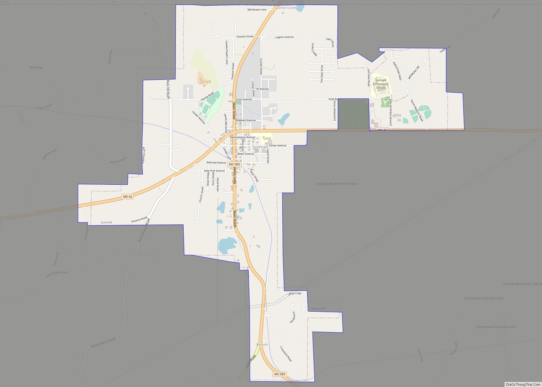
Sumrall is a town in Lamar County, Mississippi. It is part of the Hattiesburg, Mississippi Metropolitan Statistical Area. The population was 1,421 at the 2010 census. Sumrall town overview: Name: Sumrall town LSAD Code: 43 LSAD Description: town (suffix) State: Mississippi County: Lamar County Elevation: 292 ft (89 m) Total Area: 3.76 sq mi (9.73 km²) Land Area: 3.74 sq mi (9.70 km²) ... Read more
Mississippi Cities and Places
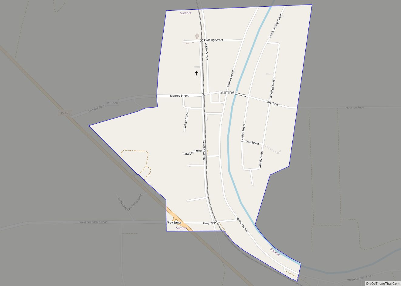
Sumner is a town in Tallahatchie County, Mississippi. The population was 407 at the 2000 census. Sumner is one of the two county seats of Tallahatchie County. It is located on the west side of the county and the Tallahatchie River, which runs through the county north-south. The other county seat is Charleston, located east ... Read more
Summit is a town in Pike County, Mississippi, United States. The population was 1,705 at the 2010 census. It is part of the McComb, Mississippi Micropolitan Statistical Area. The town originated as a railroad town and was named Summit because it was thought to be the highest point on the Illinois Central Railroad between New ... Read more
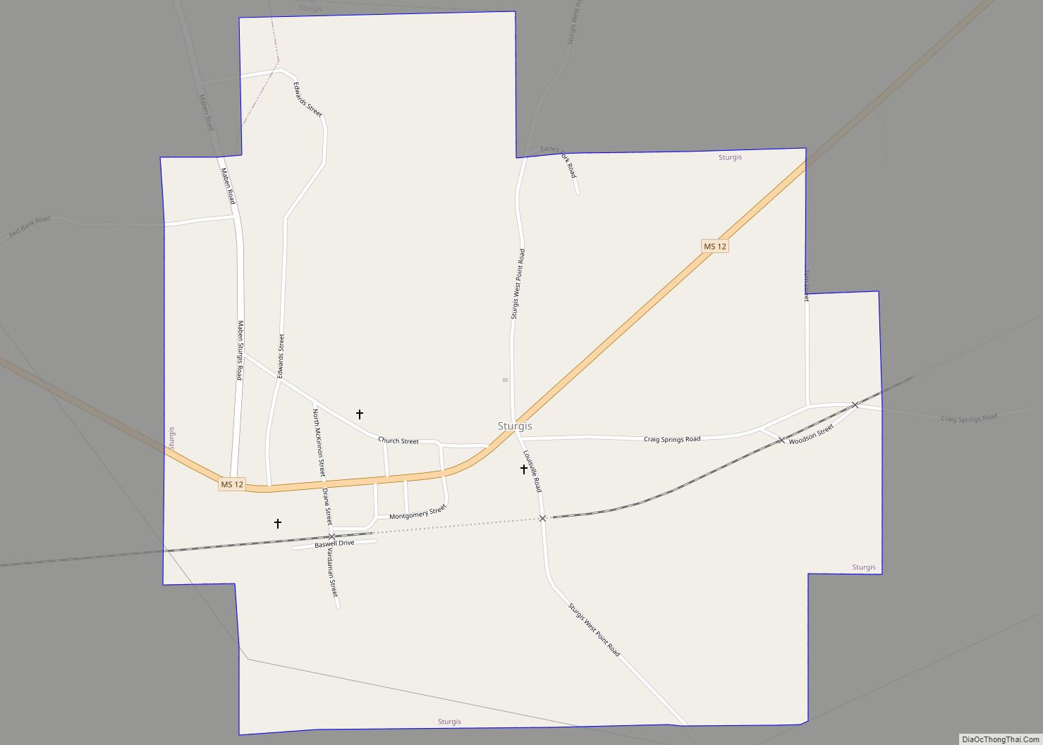
Sturgis is a town in Oktibbeha County, Mississippi. The population was 207 at the 2020 census. Sturgis annually hosts “The Rally”, an all-bike motorcycle rally, also known as the Little Sturgis Rally. According to Scott Smith, former Mayor of Sturgis, in 2005 around 20,000 visitors attended that year’s rally. The most recent was August 2022 ... Read more
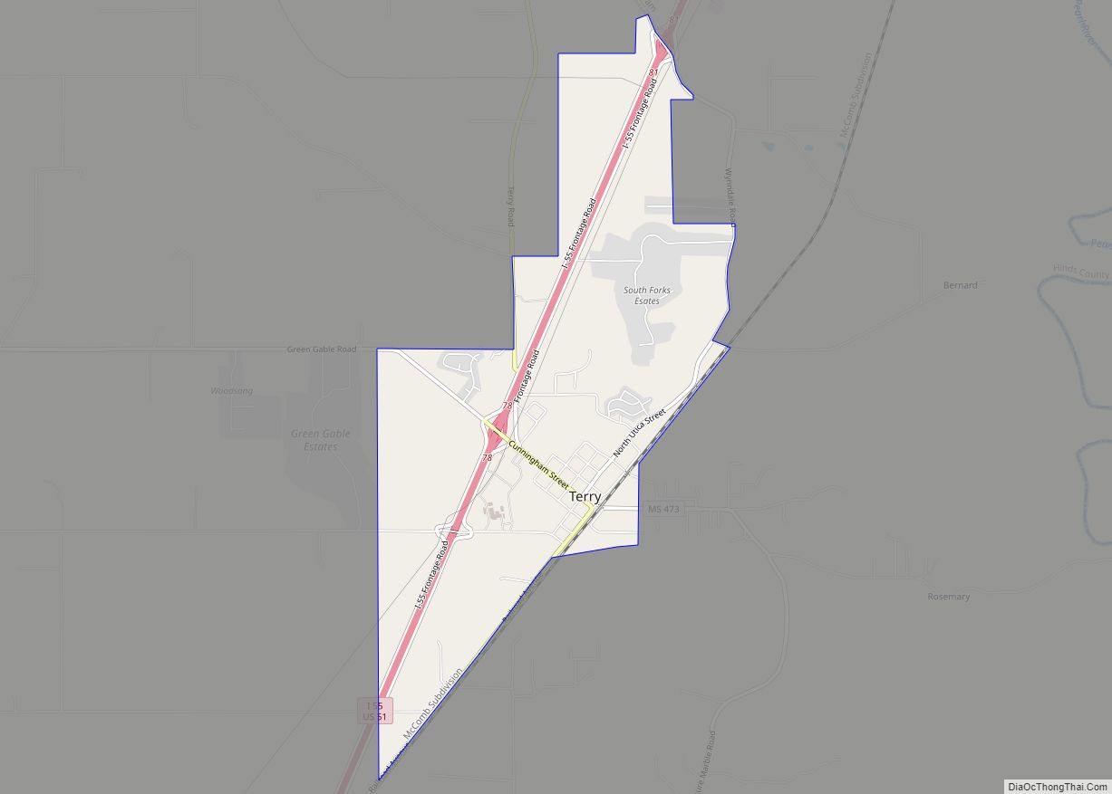
Terry is a town in Hinds County, Mississippi, United States. The population was 1,063 at the 2010 census, up from 664 at the 2000 census. It is located along Interstate 55, about 15 miles (24 km) southwest of Jackson and located in Supervisors District Five of Hinds County. The town is part of the Jackson Metropolitan ... Read more
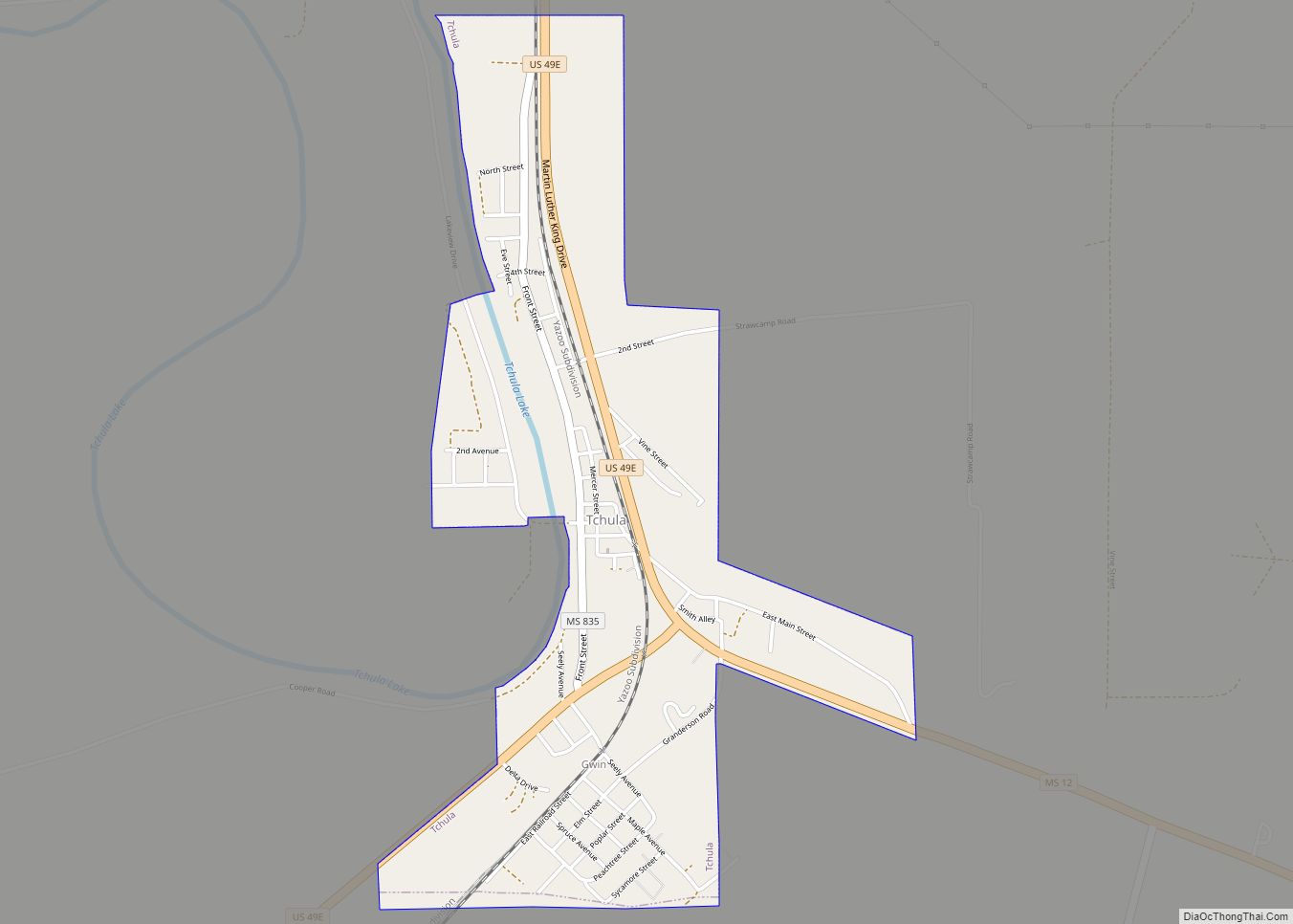
Tchula is a town in Holmes County, Mississippi, United States. The population was 1,650 at the 2020 census, down from 2,332 in 2000. A 2015 article in The Guardian described it as the poorest community in the United States. Tchula town overview: Name: Tchula town LSAD Code: 43 LSAD Description: town (suffix) State: Mississippi County: ... Read more
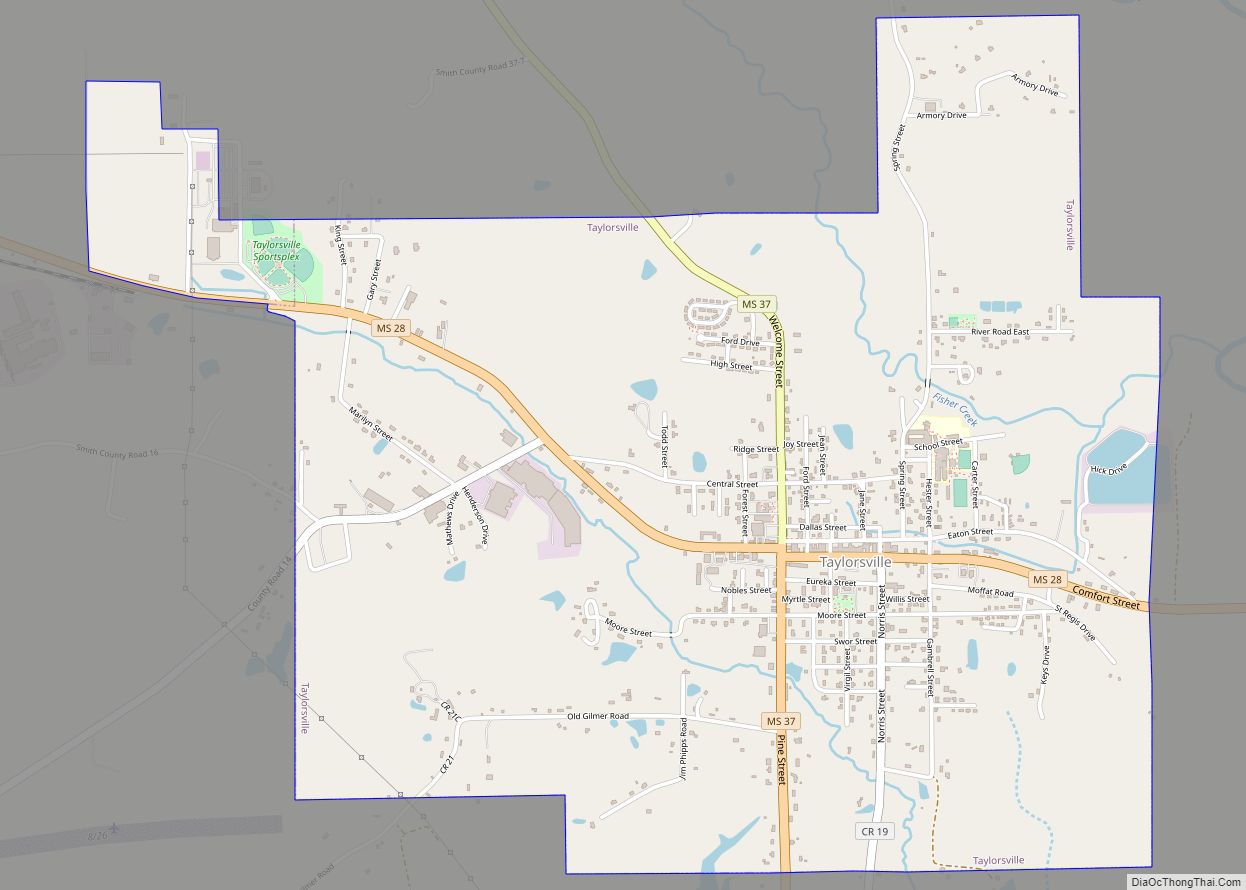
Taylorsville is a town located in southeastern Smith County, Mississippi, United States. With a population of 1,148 in the 2020 census, the town is the most populous city in Smith County. Taylorsville town overview: Name: Taylorsville town LSAD Code: 43 LSAD Description: town (suffix) State: Mississippi County: Smith County Elevation: 276 ft (84 m) Total Area: 3.86 sq mi ... Read more
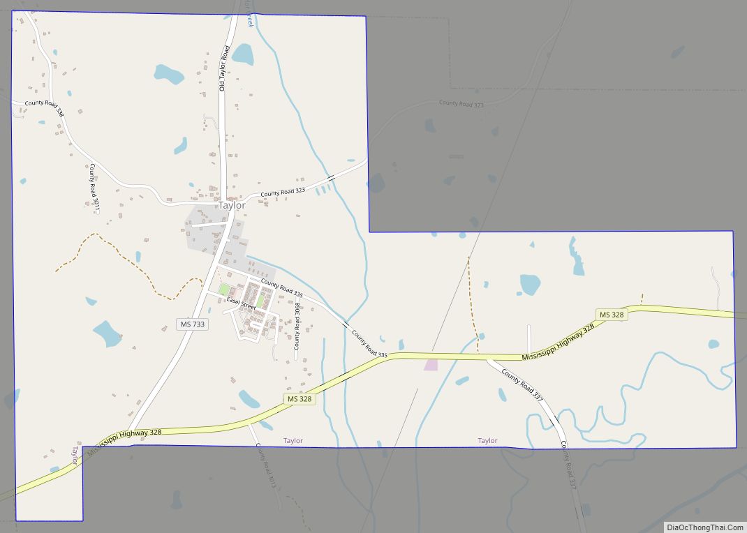
Taylor is a town in Lafayette County, Mississippi. The population was 322 at the 2010 census. Taylor village overview: Name: Taylor village LSAD Code: 47 LSAD Description: village (suffix) State: Mississippi County: Lafayette County Elevation: 325 ft (99 m) Total Area: 2.94 sq mi (7.60 km²) Land Area: 2.93 sq mi (7.59 km²) Water Area: 0.01 sq mi (0.02 km²) Total Population: 355 Population Density: 121.16/sq mi ... Read more
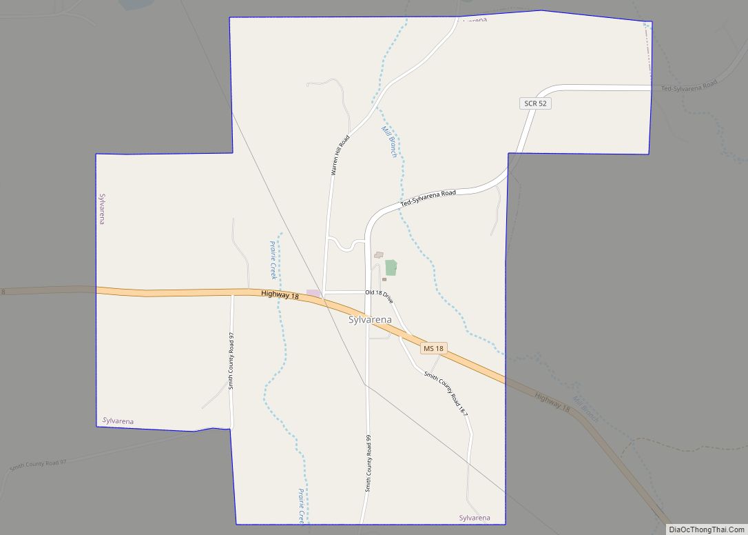
Sylvarena is a village in Smith County, Mississippi. The population was 120 at the 2000 census. Sylvarena village overview: Name: Sylvarena village LSAD Code: 47 LSAD Description: village (suffix) State: Mississippi County: Smith County Elevation: 364 ft (111 m) Total Area: 2.62 sq mi (6.78 km²) Land Area: 2.62 sq mi (6.78 km²) Water Area: 0.00 sq mi (0.00 km²) Total Population: 87 Population Density: 33.23/sq mi ... Read more
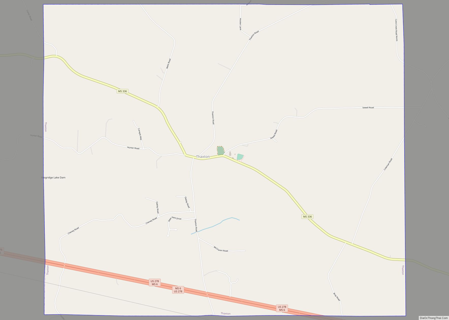
Thaxton is a town in Pontotoc County, Mississippi, United States. The population was 643 at the 2010 census. Thaxton town overview: Name: Thaxton town LSAD Code: 43 LSAD Description: town (suffix) State: Mississippi County: Pontotoc County Elevation: 420 ft (128 m) Total Area: 10.47 sq mi (27.12 km²) Land Area: 10.38 sq mi (26.87 km²) Water Area: 0.10 sq mi (0.25 km²) Total Population: 692 Population ... Read more
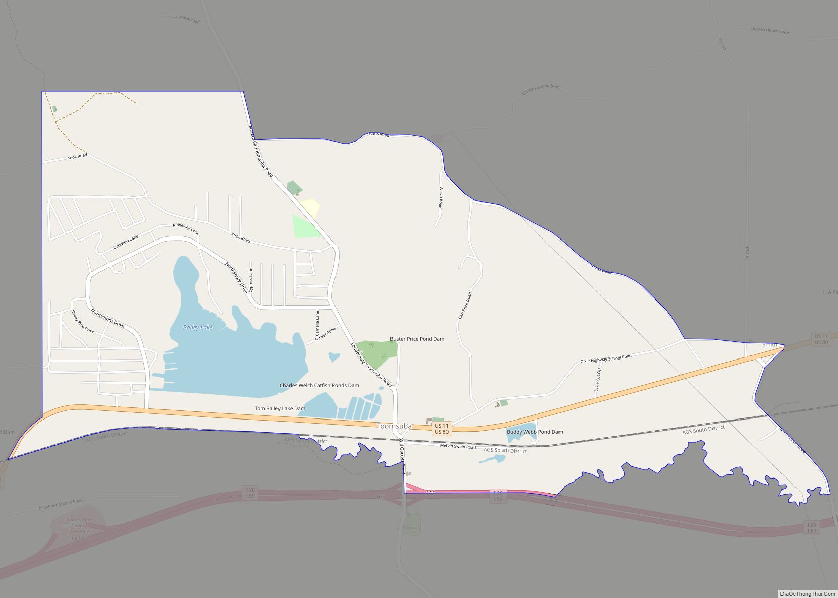
Toomsuba is a census-designated place (CDP) and unincorporated community in Lauderdale County, Mississippi, United States. Its population was 778 as of the 2020 census. Its ZIP code is 39364. The community is named after Toomsuba Creek. Toomsuba CDP overview: Name: Toomsuba CDP LSAD Code: 57 LSAD Description: CDP (suffix) State: Mississippi County: Lauderdale County Elevation: ... Read more
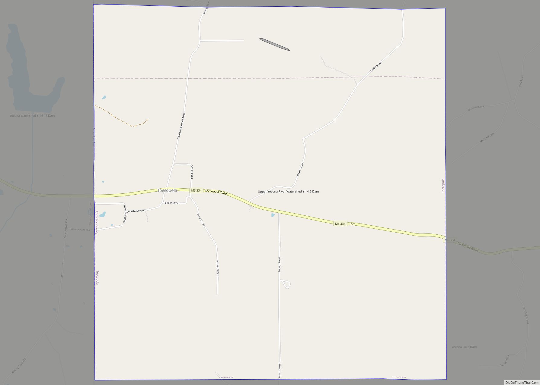
Toccopola is a town in Pontotoc County, Mississippi, United States. The population was 246 at the 2010 census. The town took its name from an old Indian village which once stood in the area; its name in turn is derived from the Chickasaw language purported to mean “dismal prairie”. Toccopola town overview: Name: Toccopola town ... Read more
