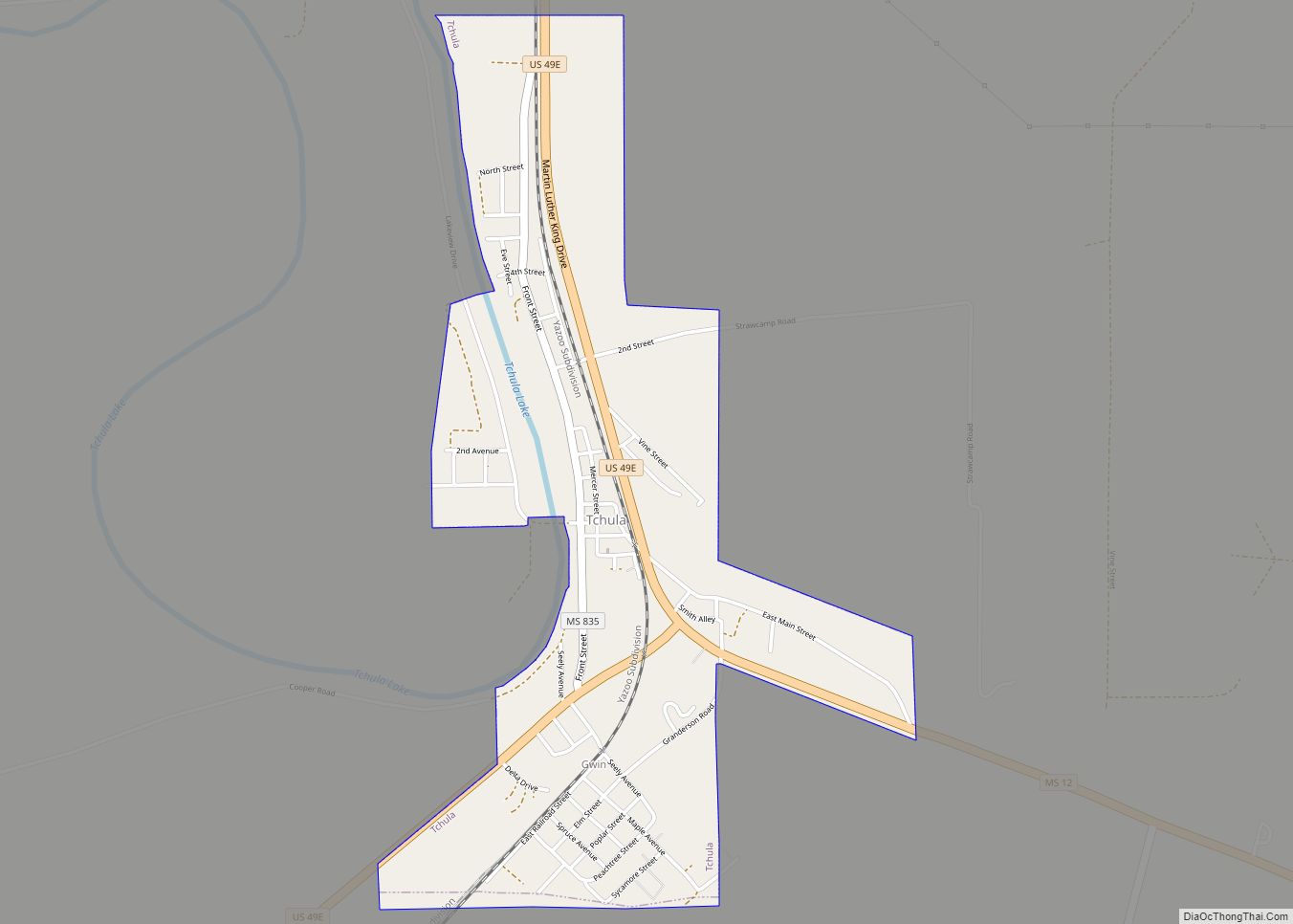
Tchula is a town in Holmes County, Mississippi, United States. The population was 1,650 at the 2020 census, down from 2,332 in 2000.
A 2015 article in The Guardian described it as the poorest community in the United States.
| Name: | Tchula town |
|---|---|
| LSAD Code: | 43 |
| LSAD Description: | town (suffix) |
| State: | Mississippi |
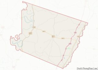
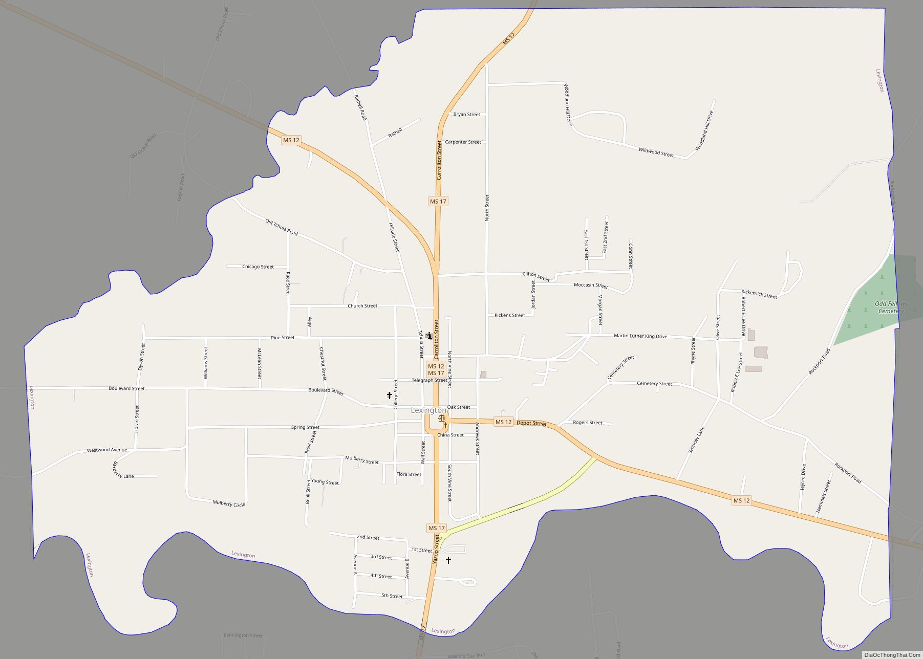
| County: | Holmes County |
| Elevation: | 112 ft (34 m) |
| Total Area: | 1.44 sq mi (3.73 km²) |
| Land Area: | 1.41 sq mi (3.65 km²) |
| Water Area: | 0.03 sq mi (0.09 km²) |
| Total Population: | 1,652 |
| Population Density: | 1,173.30/sq mi (452.90/km²) |
| ZIP code: | 39169 |
| Area code: | 662 |
| FIPS code: | 2872440 |
| GNISfeature ID: | 0678607 |
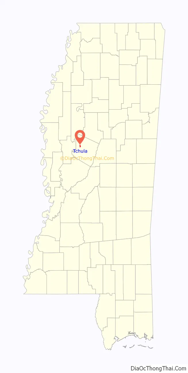
Online Interactive Map
Click on ![]() to view map in "full screen" mode.
to view map in "full screen" mode.
Tchula location map. Where is Tchula town?

History
The first permanent settlement at Tchula was made in the 1830s. The community takes its name from Tchula Lake.
In the 1960s most residents were farmworkers; the properties they worked on belonged to people living in other communities in the area. Mississippi columnist Sid Salter stated that the Tchula area had “Some of the best farmland in America” and “some of the most successful plantations”.
In 1982 the mayor was incarcerated; he was the town’s first black mayor. Chris McGreal of The Guardian stated that the criminal charges were “trumped-up”.
In the 2000s the community elected Yvonne Brown as mayor. She was a Republican, and the community hoped this would convince George W. Bush, the President of the United States, to provide additional funding. She was the first black Republican woman to be elected as a mayor in the country.
By 2015 many of the jobs in the area had vanished, partly due to increased use of machines in agriculture. Many businesses formerly in the town had disappeared.
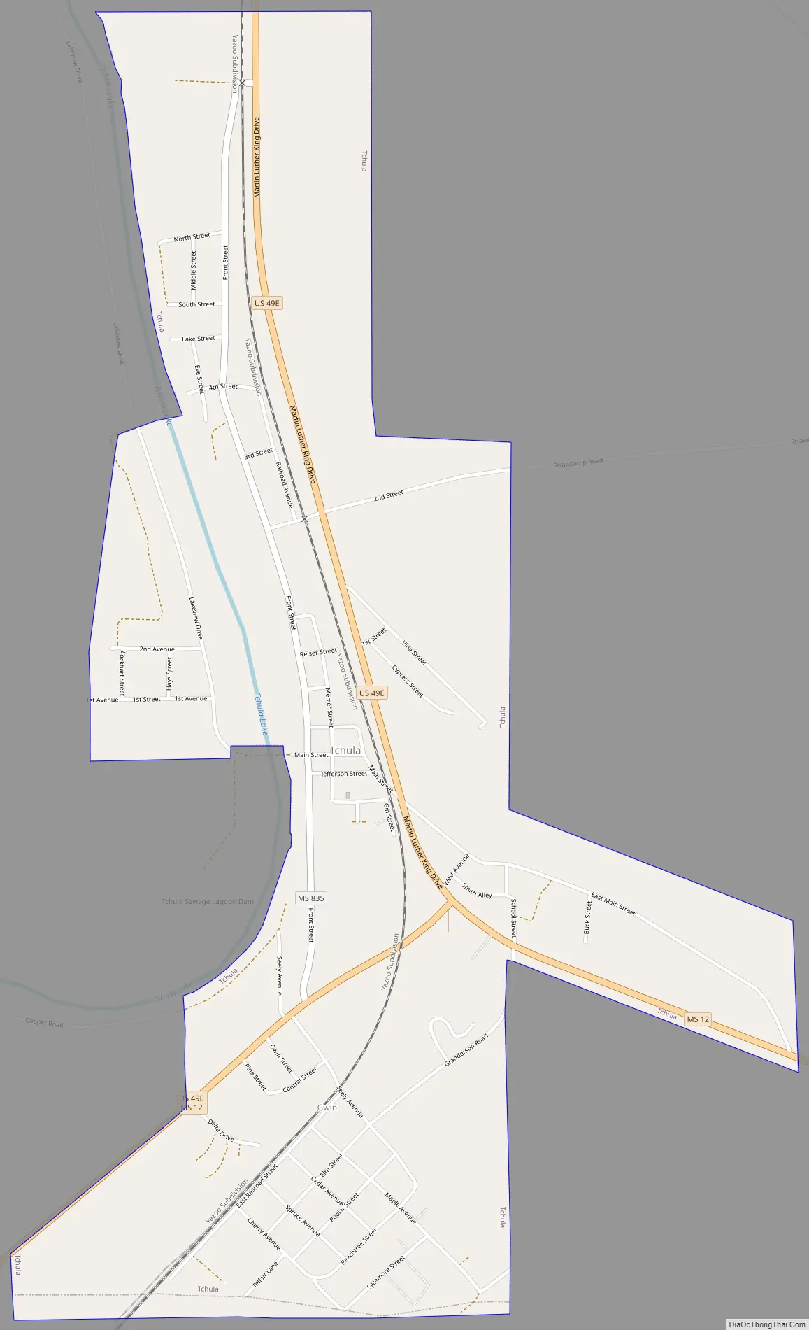
Tchula Road Map
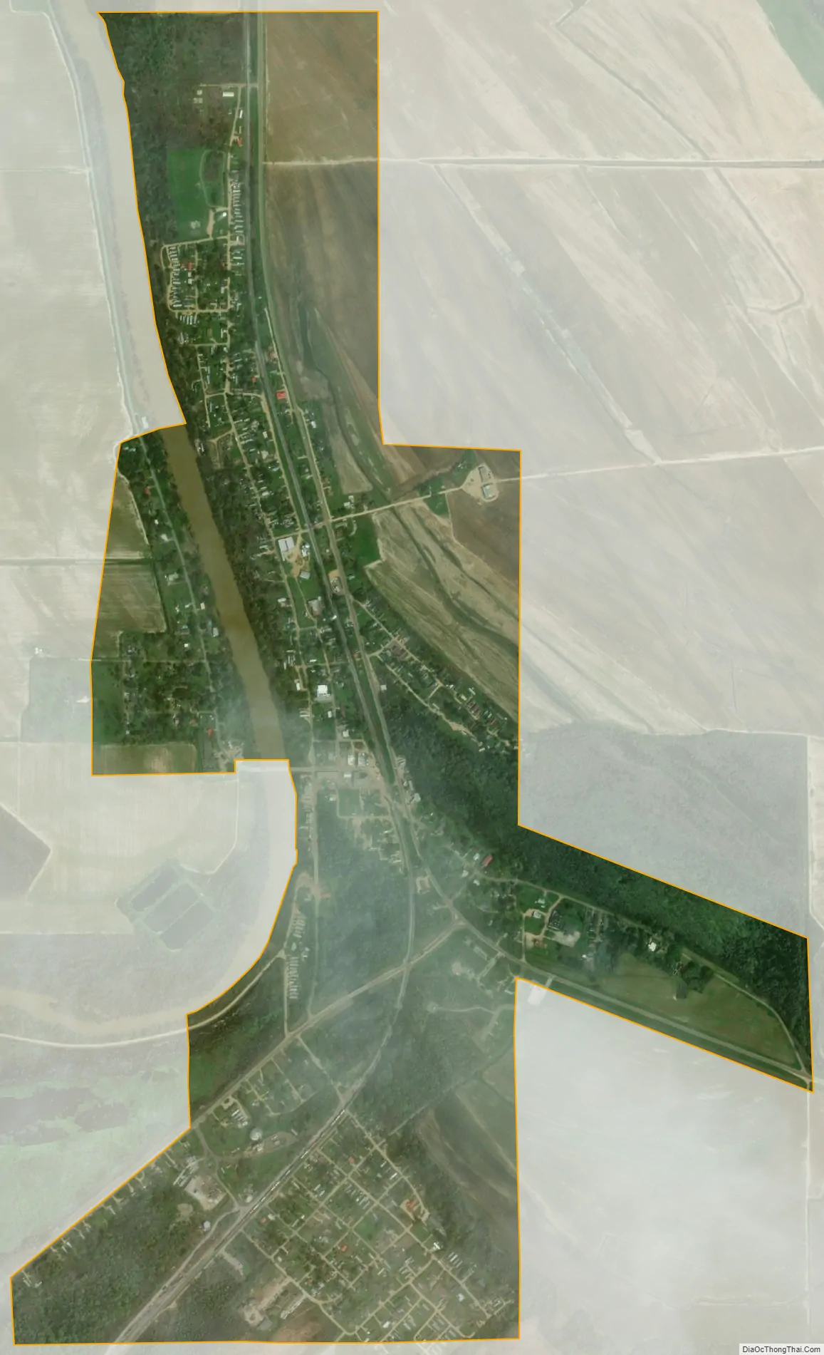
Tchula city Satellite Map
Geography
Tchula is in western Holmes County along Tchula Lake, an old river channel in the Mississippi Delta region of the state. U.S. Route 49E passes through the center of town, leading north 25 miles (40 km) to Greenwood and southwest 27 miles (43 km) to Yazoo. Mississippi Highway 12 leads southeast from Tchula 11 miles (18 km) to Lexington, the Holmes County seat.
According to the United States Census Bureau, the town has a total area of 1.4 square miles (3.7 km), of which 0.04 square miles (0.1 km), or 2.31%, is water.
See also
Map of Mississippi State and its subdivision:- Adams
- Alcorn
- Amite
- Attala
- Benton
- Bolivar
- Calhoun
- Carroll
- Chickasaw
- Choctaw
- Claiborne
- Clarke
- Clay
- Coahoma
- Copiah
- Covington
- Desoto
- Forrest
- Franklin
- George
- Greene
- Grenada
- Hancock
- Harrison
- Hinds
- Holmes
- Humphreys
- Issaquena
- Itawamba
- Jackson
- Jasper
- Jefferson
- Jefferson Davis
- Jones
- Kemper
- Lafayette
- Lamar
- Lauderdale
- Lawrence
- Leake
- Lee
- Leflore
- Lincoln
- Lowndes
- Madison
- Marion
- Marshall
- Monroe
- Montgomery
- Neshoba
- Newton
- Noxubee
- Oktibbeha
- Panola
- Pearl River
- Perry
- Pike
- Pontotoc
- Prentiss
- Quitman
- Rankin
- Scott
- Sharkey
- Simpson
- Smith
- Stone
- Sunflower
- Tallahatchie
- Tate
- Tippah
- Tishomingo
- Tunica
- Union
- Walthall
- Warren
- Washington
- Wayne
- Webster
- Wilkinson
- Winston
- Yalobusha
- Yazoo
- Alabama
- Alaska
- Arizona
- Arkansas
- California
- Colorado
- Connecticut
- Delaware
- District of Columbia
- Florida
- Georgia
- Hawaii
- Idaho
- Illinois
- Indiana
- Iowa
- Kansas
- Kentucky
- Louisiana
- Maine
- Maryland
- Massachusetts
- Michigan
- Minnesota
- Mississippi
- Missouri
- Montana
- Nebraska
- Nevada
- New Hampshire
- New Jersey
- New Mexico
- New York
- North Carolina
- North Dakota
- Ohio
- Oklahoma
- Oregon
- Pennsylvania
- Rhode Island
- South Carolina
- South Dakota
- Tennessee
- Texas
- Utah
- Vermont
- Virginia
- Washington
- West Virginia
- Wisconsin
- Wyoming