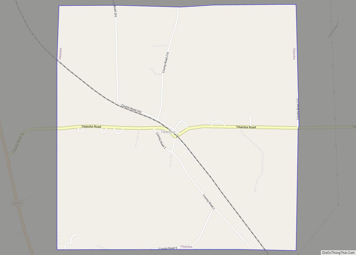
Tillatoba is a town in Yalobusha County, Mississippi, United States. The population was 91 at the 2010 census. Agricultural products produced by the town include cotton, corn, poultry, cattle, and timber. Holly Springs National Forest is to the east. Tillatoba town overview: Name: Tillatoba town LSAD Code: 43 LSAD Description: town (suffix) State: Mississippi County: ... Read more
Mississippi Cities and Places
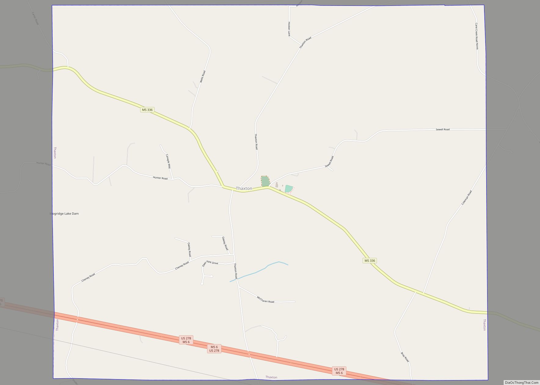
Thaxton is a town in Pontotoc County, Mississippi, United States. The population was 643 at the 2010 census. Thaxton town overview: Name: Thaxton town LSAD Code: 43 LSAD Description: town (suffix) State: Mississippi County: Pontotoc County Elevation: 420 ft (128 m) Total Area: 10.47 sq mi (27.12 km²) Land Area: 10.38 sq mi (26.87 km²) Water Area: 0.10 sq mi (0.25 km²) Total Population: 692 Population ... Read more
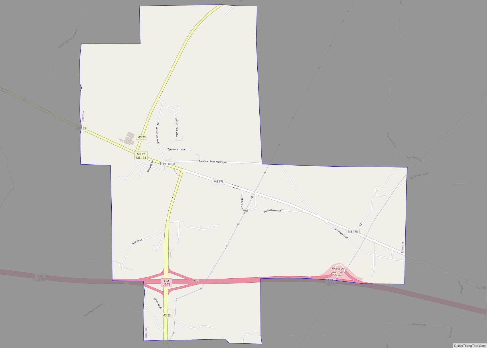
Tremont is a town in Itawamba County, Mississippi, United States. It was founded in 1852. The population was 465 at the 2010 census, up from 390 at the 2000 census. Tremont town overview: Name: Tremont town LSAD Code: 43 LSAD Description: town (suffix) State: Mississippi County: Itawamba County Elevation: 358 ft (109 m) Total Area: 4.92 sq mi (12.74 km²) ... Read more
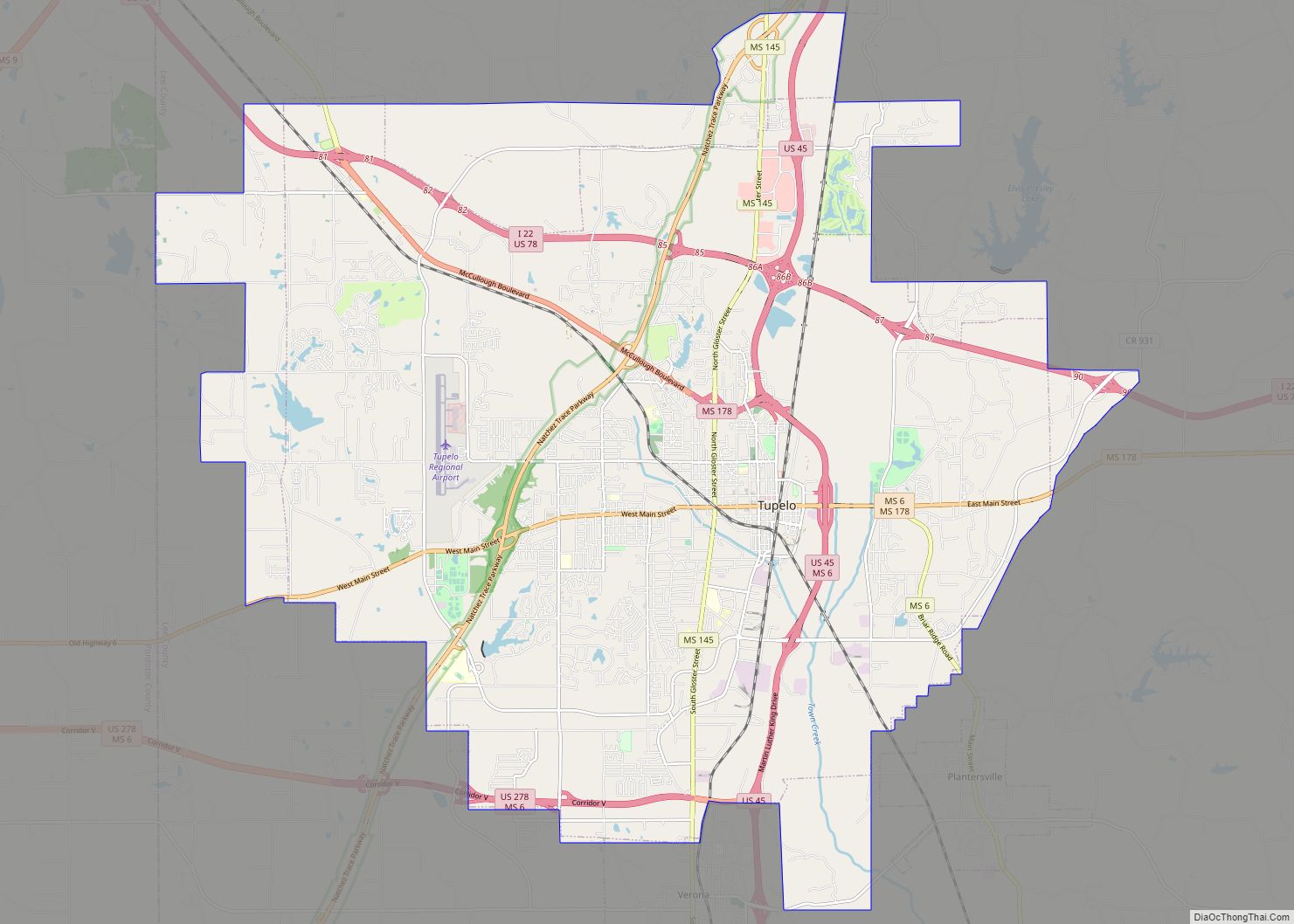
Tupelo (/ˈtuːpəloʊ/ TOO-pə-low) is a city in and the county seat of Lee County, Mississippi, United States. With an estimated population of 38,300, Tupelo is the sixth-largest city in Mississippi and is considered a commercial, industrial, and cultural hub of North Mississippi. Tupelo was incorporated in 1866. The area had earlier been settled as “Gum ... Read more
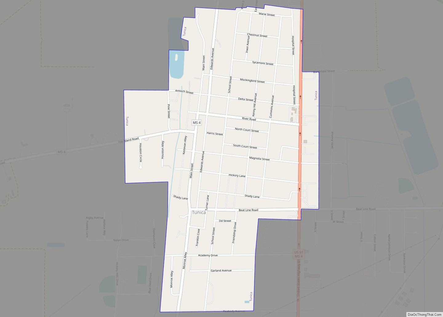
Tunica is a town in and the county seat of Tunica County, Mississippi, United States, near the Mississippi River. Until the early 1990s when casino gambling was introduced in the area, Tunica had been one of the most impoverished places in the United States. Despite this economic improvement, Tunica’s population continues to decline from its ... Read more
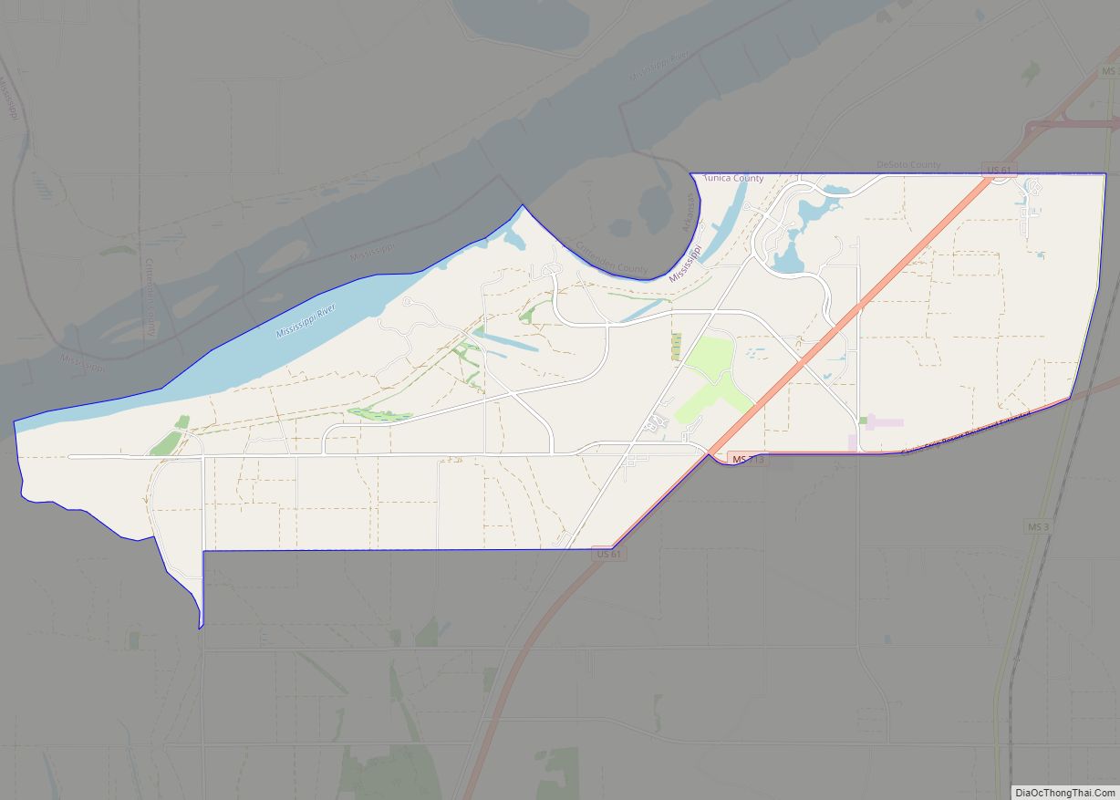
Tunica Resorts, formerly known as Robinsonville until 2005, is a census-designated place (CDP) in northern Tunica County, Mississippi, United States, north of the county seat of Tunica. The community is situated mostly between the Mississippi River and U.S. Route 61 along the border with Arkansas. The population as of the 2020 census was 2,132. Tunica ... Read more
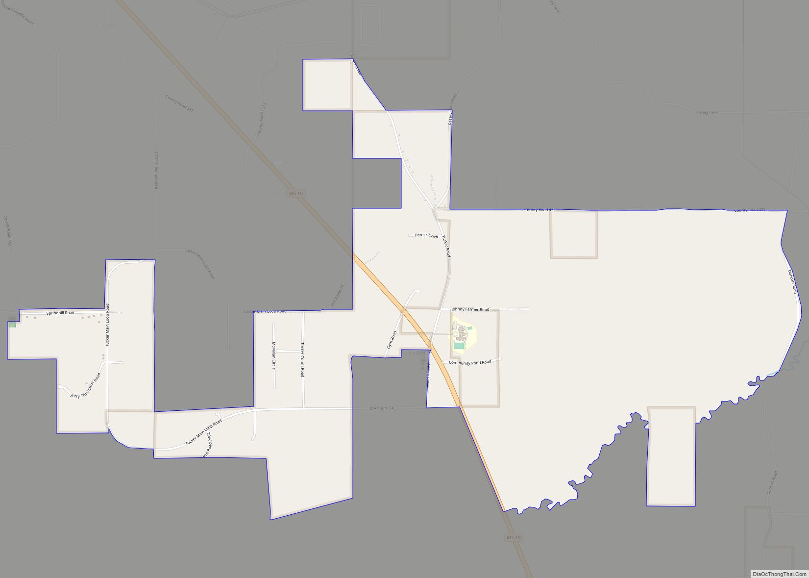
Tucker is a census-designated place (CDP) in Neshoba County, Mississippi. It is one of the eight communities of the Mississippi Band of Choctaw Indians Reservation and the population is 93% Choctaw. The population was 642 at the 2020 census. Tucker CDP overview: Name: Tucker CDP LSAD Code: 57 LSAD Description: CDP (suffix) State: Mississippi County: ... Read more
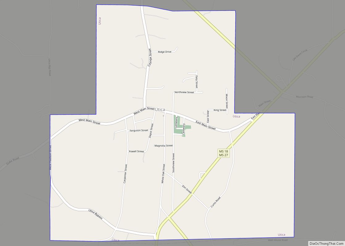
Utica is a town in Hinds County, Mississippi, United States. The population was 820 at the 2010 census, down from 966 at the 2000 census. Utica is part of the Jackson Metropolitan Statistical Area. Utica town overview: Name: Utica town LSAD Code: 43 LSAD Description: town (suffix) State: Mississippi County: Hinds County Elevation: 295 ft (90 m) ... Read more
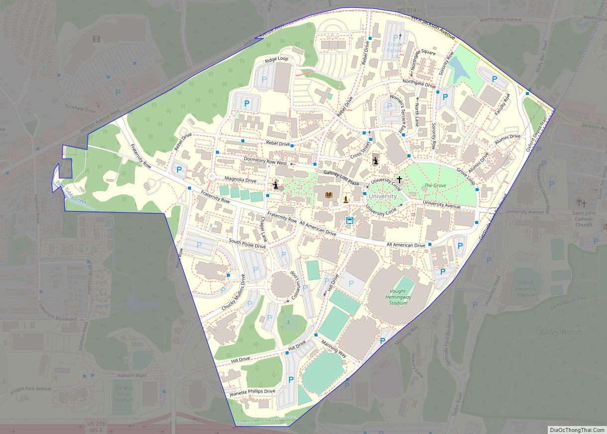
University is a census-designated place (CDP) and the official name for an area covering a portion of the University of Mississippi (Ole Miss) campus, in Lafayette County, Mississippi, United States. The CDP is surrounded by the city of Oxford. Its official United States Postal Service designation is “University, Mississippi”, with a ZIP Code of 38677. ... Read more
Union is a town in Neshoba and Newton counties, Mississippi. The population was 1,988 at the 2010 census. Union town overview: Name: Union town LSAD Code: 43 LSAD Description: town (suffix) State: Mississippi County: Neshoba County, Newton County Elevation: 482 ft (147 m) Total Area: 3.43 sq mi (8.87 km²) Land Area: 3.43 sq mi (8.87 km²) Water Area: 0.00 sq mi (0.00 km²) Total Population: ... Read more
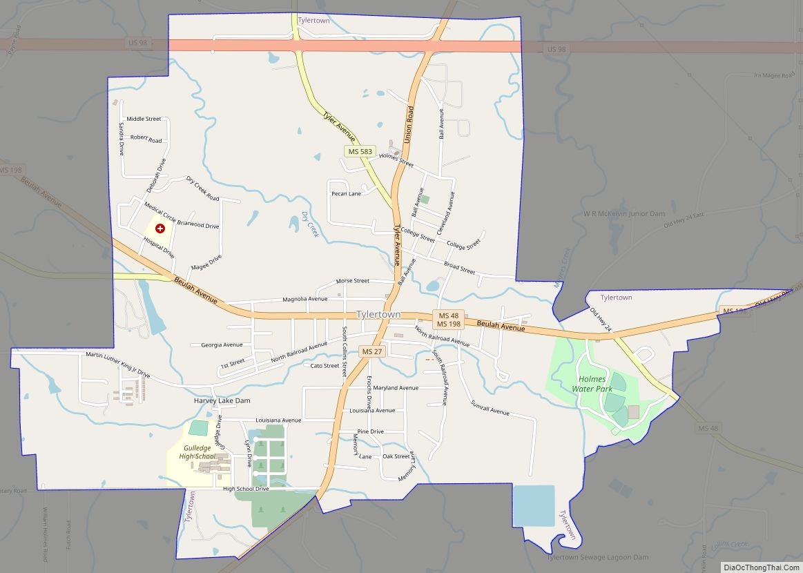
Tylertown is a town in Walthall County, Mississippi, United States. It is the county seat of Walthall County. The population was 1,609 at the 2010 census. Tylertown town overview: Name: Tylertown town LSAD Code: 43 LSAD Description: town (suffix) State: Mississippi County: Walthall County Elevation: 295 ft (90 m) Total Area: 3.29 sq mi (8.51 km²) Land Area: 3.28 sq mi (8.49 km²) ... Read more
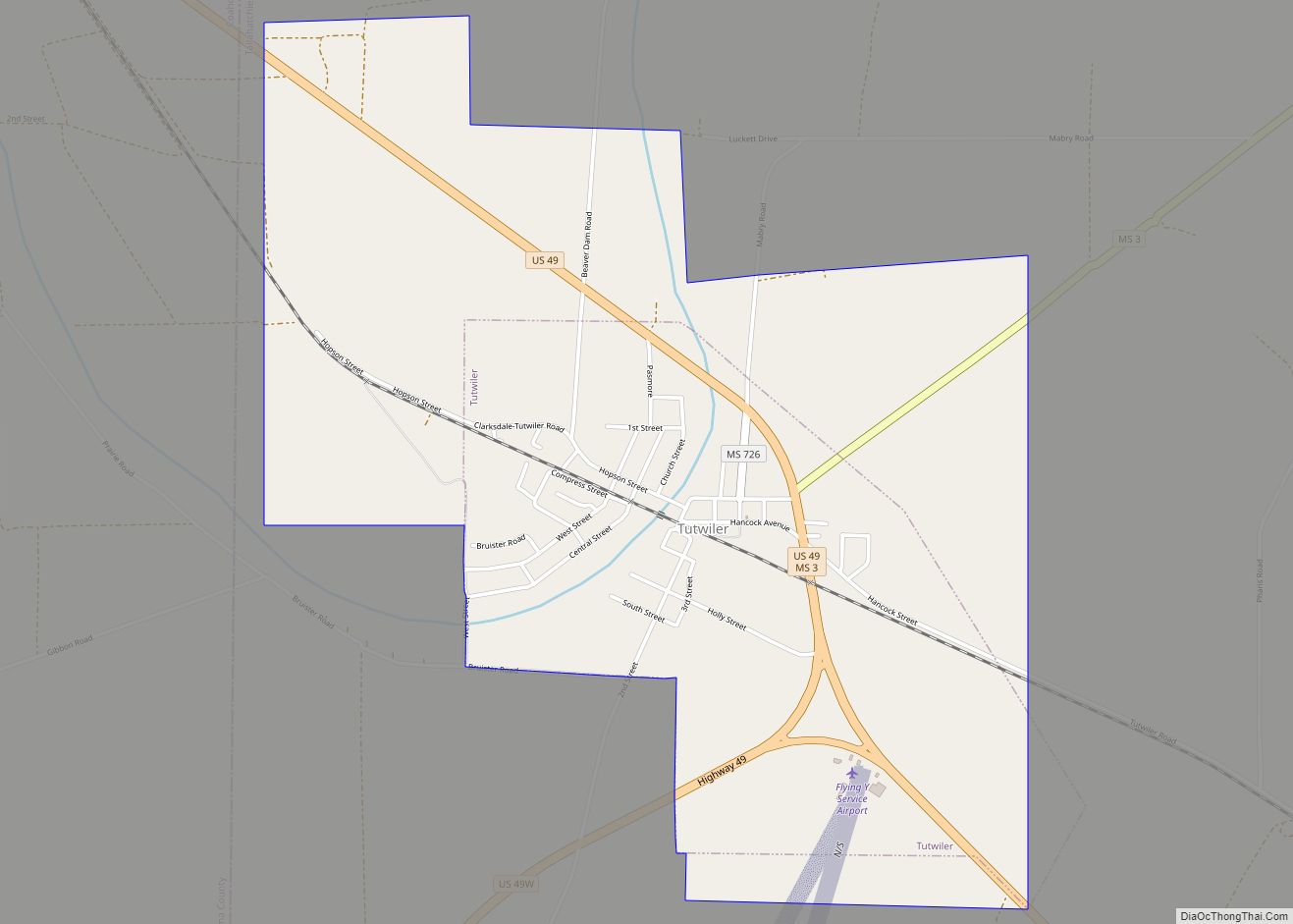
Tutwiler is a town in Tallahatchie County, Mississippi, United States. The population at the 2010 census was 3,550. Tutwiler town overview: Name: Tutwiler town LSAD Code: 43 LSAD Description: town (suffix) State: Mississippi County: Tallahatchie County Elevation: 154 ft (47 m) Total Area: 2.77 sq mi (7.17 km²) Land Area: 2.77 sq mi (7.17 km²) Water Area: 0.00 sq mi (0.00 km²) Total Population: 2,476 Population ... Read more
