Utica is a town in Hinds County, Mississippi, United States. The population was 820 at the 2010 census, down from 966 at the 2000 census. Utica is part of the Jackson Metropolitan Statistical Area.
| Name: | Utica town |
|---|---|
| LSAD Code: | 43 |
| LSAD Description: | town (suffix) |
| State: | Mississippi |
| County: | Hinds County |
| Elevation: | 295 ft (90 m) |
| Total Area: | 3.00 sq mi (7.78 km²) |
| Land Area: | 3.00 sq mi (7.76 km²) |
| Water Area: | 0.01 sq mi (0.02 km²) |
| Total Population: | 636 |
| Population Density: | 212.35/sq mi (82.00/km²) |
| ZIP code: | 39175 |
| Area code: | 601 |
| FIPS code: | 2875760 |
| GNISfeature ID: | 0679161 |
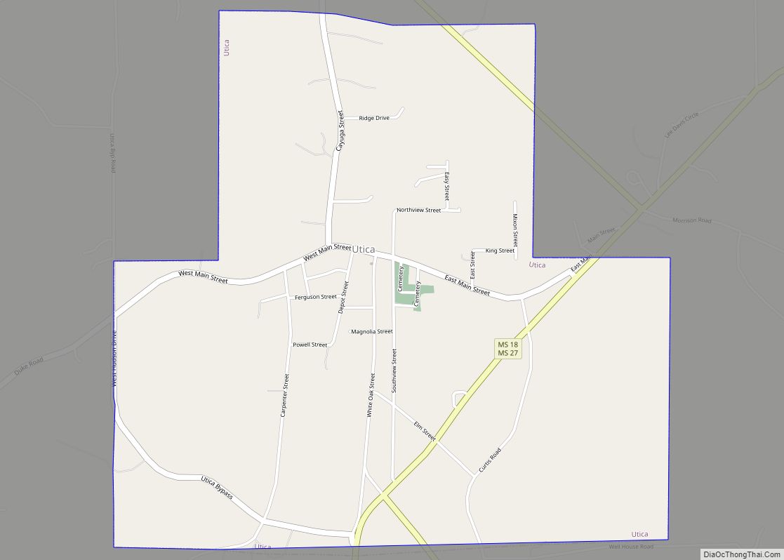
Online Interactive Map
Click on ![]() to view map in "full screen" mode.
to view map in "full screen" mode.
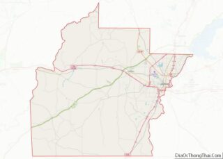
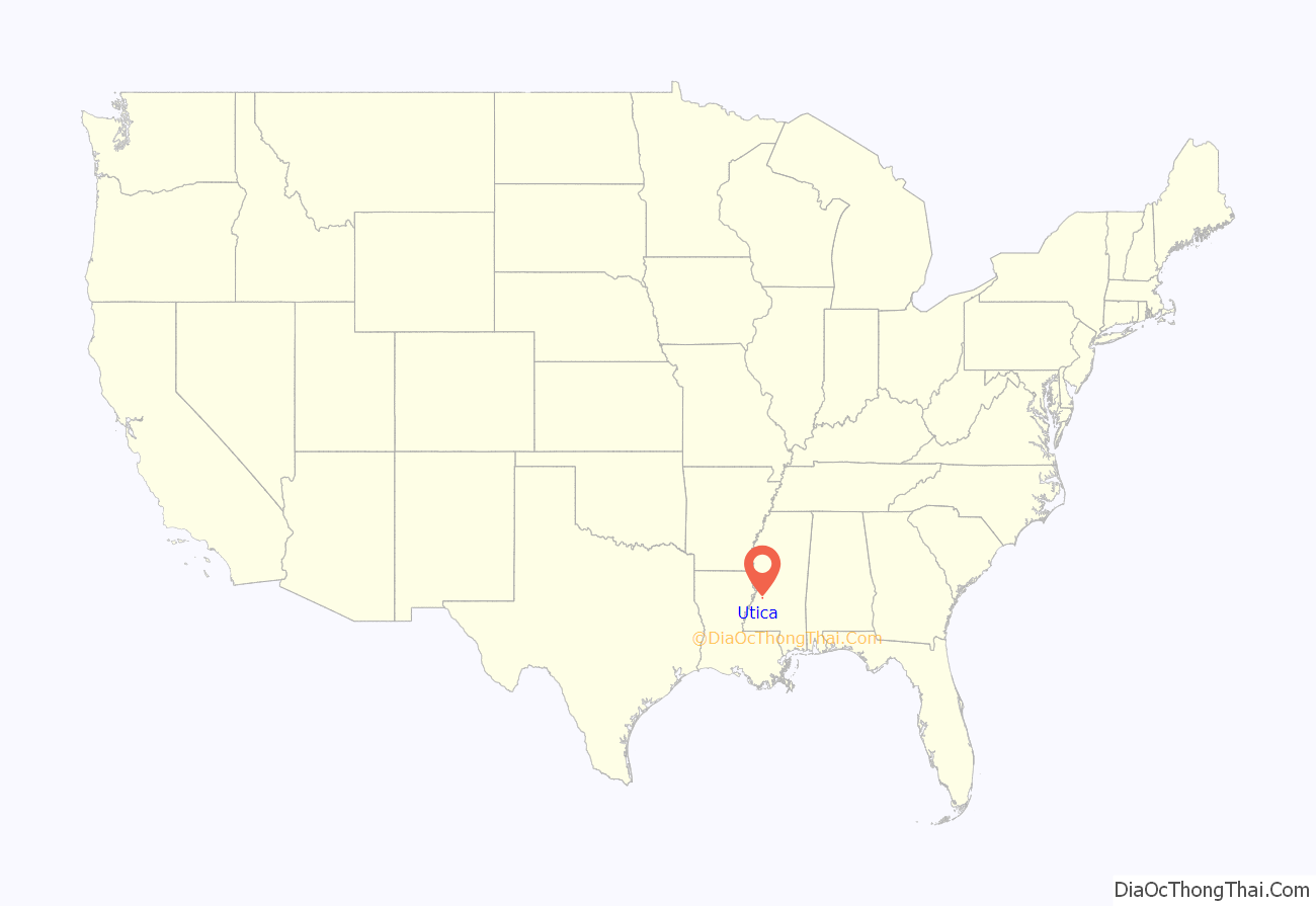
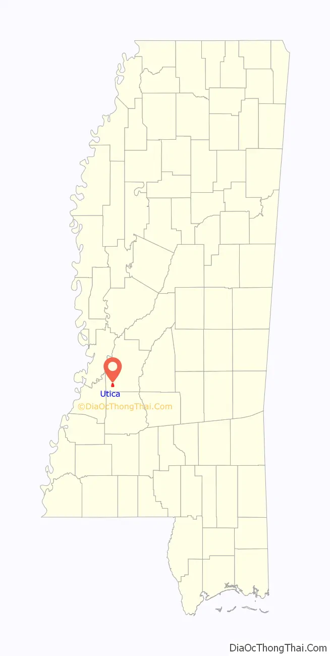
Utica location map. Where is Utica town?
History
Utica was originally an area known as Cane Ridge. In 1837, it was given the name Utica at the suggestion of the then postmaster, Ozias Osborn, who came from Utica, New York. The town was incorporated in 1880.
Utica was located on the Yazoo and Mississippi Valley Railroad. A weekly newspaper, the Herald, was established in 1897. In the early 1900s, Utica had several churches, eight hotels, a public school for white students, and an industrial college for black students. Agriculture consisted of watermelons, cotton and timber. The settlement had a sawmill, three cotton gins, and a brick plant. The population in 1907 was nearly 1,000.
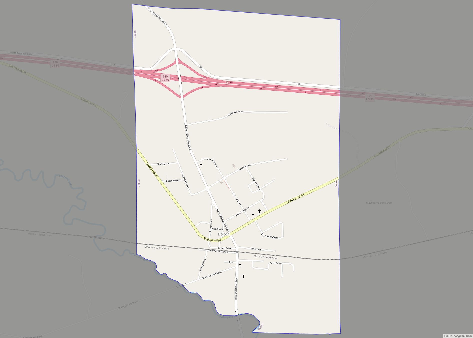
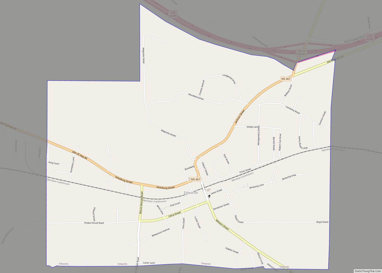
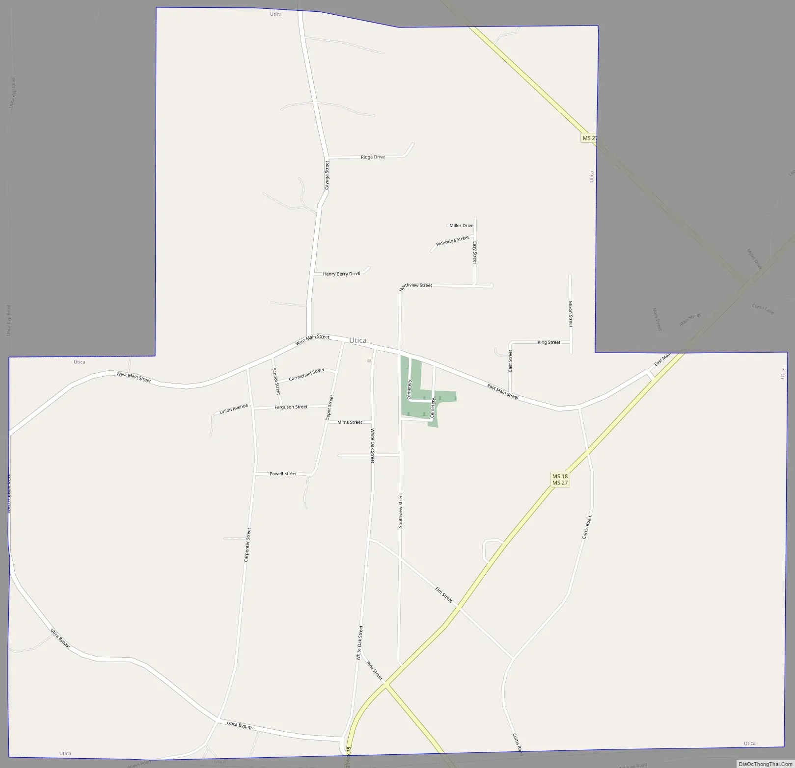
Utica Road Map
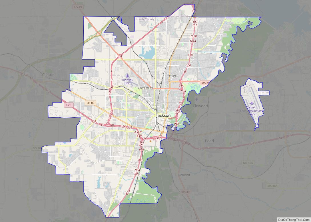
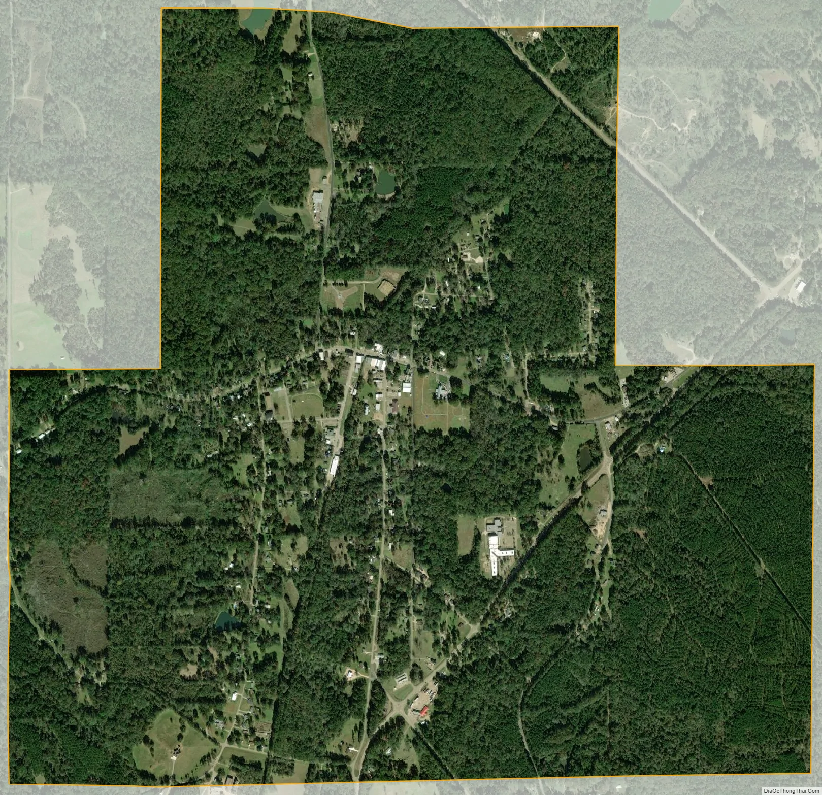
Utica city Satellite Map
Geography
Utica is in southwest Hinds County at the junctions of Mississippi Highways 18 and 27. Highway 18 leads northeast 32 miles (51 km) to Jackson, the state capital, and southwest 28 miles (45 km) to Port Gibson, while Highway 27 leads northwest 25 miles (40 km) to Vicksburg and southeast 20 miles (32 km) to Crystal Springs.
According to the United States Census Bureau, Utica has a total area of 3.0 square miles (7.8 km), of which 0.01 square miles (0.02 km), or 0.25%, are water.
Climate
The climate in this area is characterized by relatively high temperatures and evenly distributed precipitation throughout the year. According to the Köppen Climate Classification system, Utica has a humid subtropical climate, abbreviated “Cfa” on climate maps.
See also
Map of Mississippi State and its subdivision:- Adams
- Alcorn
- Amite
- Attala
- Benton
- Bolivar
- Calhoun
- Carroll
- Chickasaw
- Choctaw
- Claiborne
- Clarke
- Clay
- Coahoma
- Copiah
- Covington
- Desoto
- Forrest
- Franklin
- George
- Greene
- Grenada
- Hancock
- Harrison
- Hinds
- Holmes
- Humphreys
- Issaquena
- Itawamba
- Jackson
- Jasper
- Jefferson
- Jefferson Davis
- Jones
- Kemper
- Lafayette
- Lamar
- Lauderdale
- Lawrence
- Leake
- Lee
- Leflore
- Lincoln
- Lowndes
- Madison
- Marion
- Marshall
- Monroe
- Montgomery
- Neshoba
- Newton
- Noxubee
- Oktibbeha
- Panola
- Pearl River
- Perry
- Pike
- Pontotoc
- Prentiss
- Quitman
- Rankin
- Scott
- Sharkey
- Simpson
- Smith
- Stone
- Sunflower
- Tallahatchie
- Tate
- Tippah
- Tishomingo
- Tunica
- Union
- Walthall
- Warren
- Washington
- Wayne
- Webster
- Wilkinson
- Winston
- Yalobusha
- Yazoo
- Alabama
- Alaska
- Arizona
- Arkansas
- California
- Colorado
- Connecticut
- Delaware
- District of Columbia
- Florida
- Georgia
- Hawaii
- Idaho
- Illinois
- Indiana
- Iowa
- Kansas
- Kentucky
- Louisiana
- Maine
- Maryland
- Massachusetts
- Michigan
- Minnesota
- Mississippi
- Missouri
- Montana
- Nebraska
- Nevada
- New Hampshire
- New Jersey
- New Mexico
- New York
- North Carolina
- North Dakota
- Ohio
- Oklahoma
- Oregon
- Pennsylvania
- Rhode Island
- South Carolina
- South Dakota
- Tennessee
- Texas
- Utah
- Vermont
- Virginia
- Washington
- West Virginia
- Wisconsin
- Wyoming