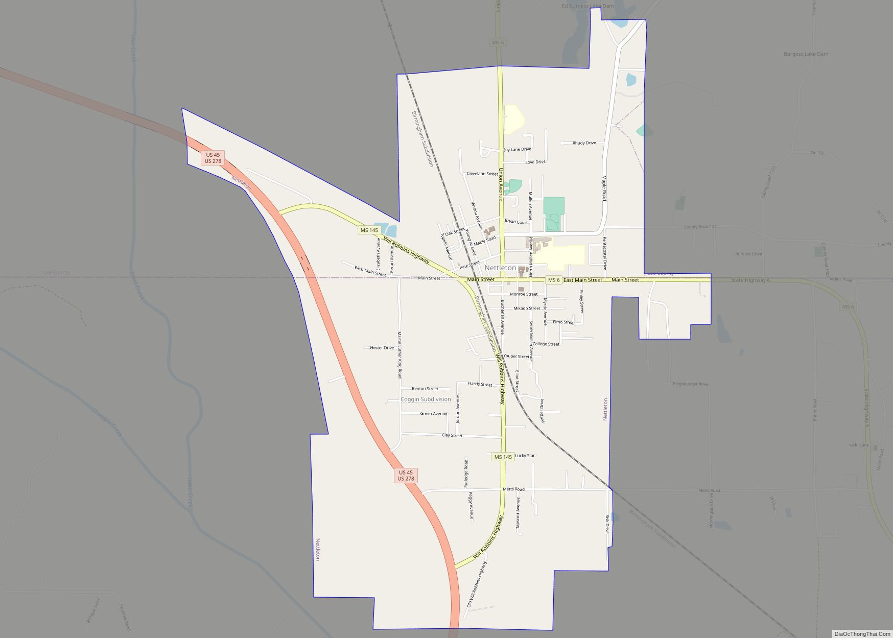
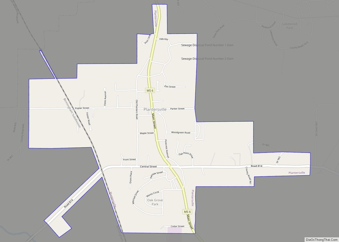
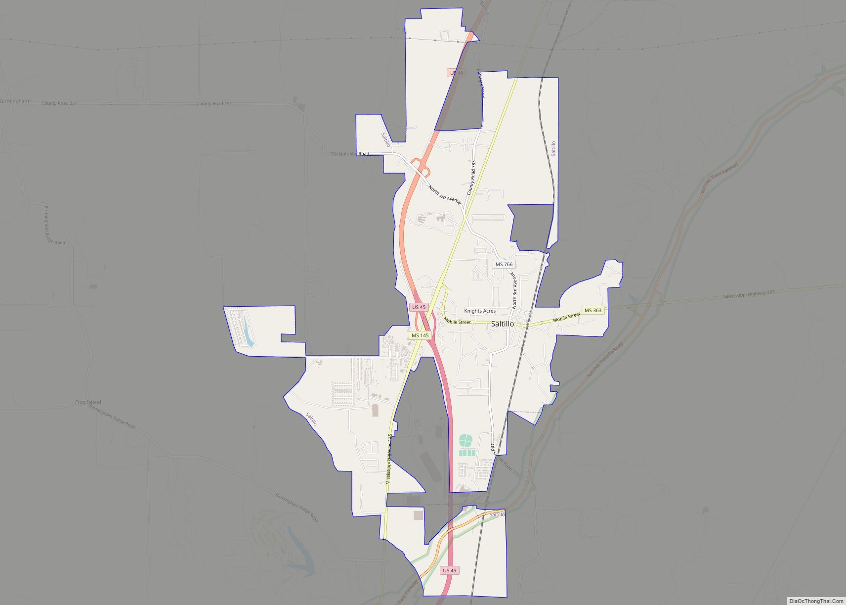
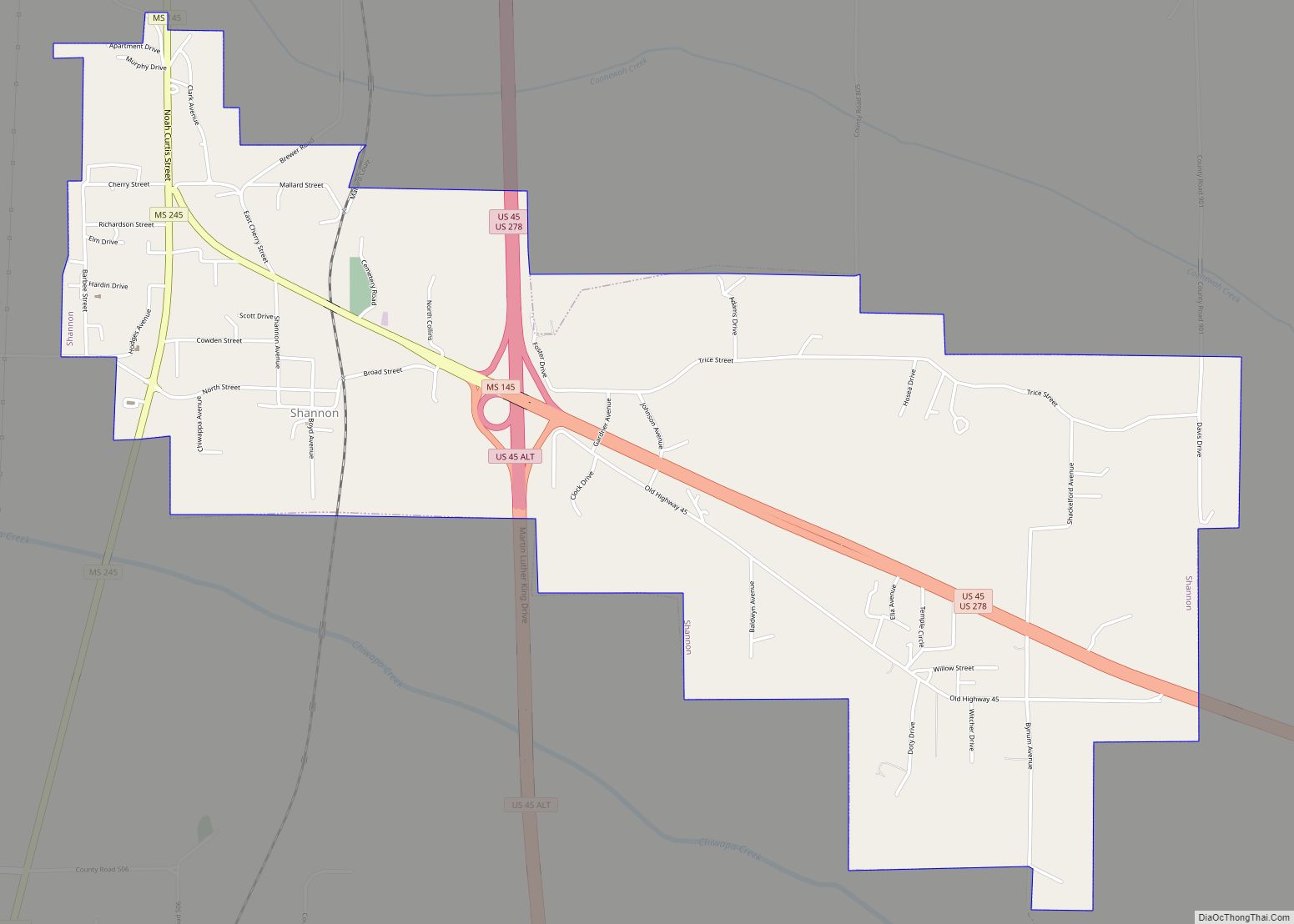
Tupelo (/ˈtuːpəloʊ/ TOO-pə-low) is a city in and the county seat of Lee County, Mississippi, United States. With an estimated population of 38,300, Tupelo is the sixth-largest city in Mississippi and is considered a commercial, industrial, and cultural hub of North Mississippi.
Tupelo was incorporated in 1866. The area had earlier been settled as “Gum Pond” along the Mobile and Ohio Railroad. On February 7, 1934, Tupelo became the first city to receive power from the Tennessee Valley Authority, thus giving it the nickname “The First TVA City”. Much of the city was devastated by a major tornado in 1936 that still ranks as one of the deadliest tornadoes in American history. Following electrification, Tupelo boomed as a regional manufacturing and distribution center and was once considered a hub of the American furniture manufacturing industry. Although many of Tupelo’s manufacturing industries have declined since the 1990s, the city has continued to grow due to strong healthcare, retail, and financial service industries. Tupelo is the smallest city in the United States that is the headquarters of more than one bank with over $10 billion in assets.
Tupelo has a deep connection to Mississippi’s music history, being known as the birthplace of Elvis Presley and Diplo as well as the origin of the group Rae Sremmurd. The city is home to multiple art and cultural institutions, including the Elvis Presley Birthplace and the 10,000-seat Cadence Bank Arena, the largest multipurpose indoor arena in Mississippi. Tupelo is the only city in the Southern United States to be named an All-America City five times, most recently in 2015. Its Main Street program, Downtown Tupelo Main Street Association, was the winner of the national Main Street’s Great American Main Street Award in 2020.
The Tupelo micropolitian area contains Lee, Itawamba, and Pontotoc counties and had a population of 140,081 in 2017.
| Name: | Tupelo city |
|---|---|
| LSAD Code: | 25 |
| LSAD Description: | city (suffix) |
| State: | Mississippi |
| County: | Lee County |
| Incorporated: | July 20, 1870(152 years ago) (1870-07-20) |
| Elevation: | 279 ft (85 m) |
| Land Area: | 64.38 sq mi (166.75 km²) |
| Water Area: | 0.30 sq mi (0.78 km²) |
| Population Density: | 589.02/sq mi (227.42/km²) |
| Area code: | 662 |
| FIPS code: | 2874840 |
| GNISfeature ID: | 678931 |
| Website: | tupeloms.gov |
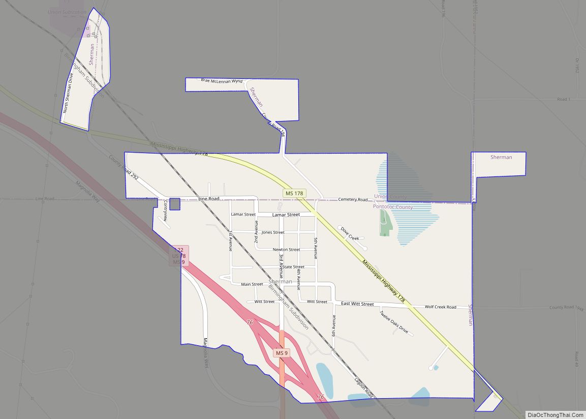
Online Interactive Map
Click on ![]() to view map in "full screen" mode.
to view map in "full screen" mode.
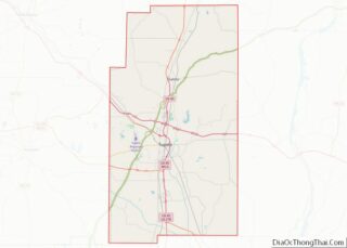
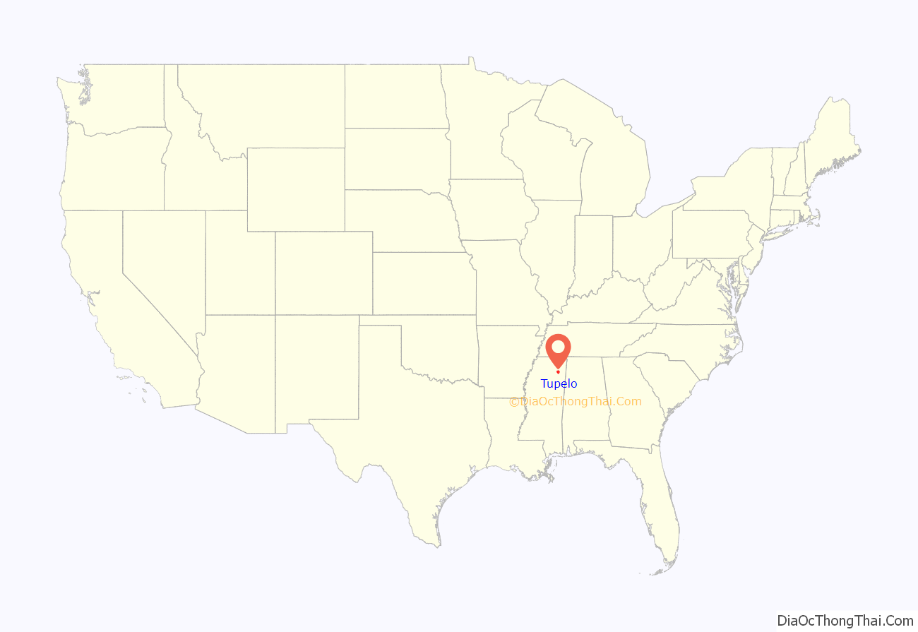
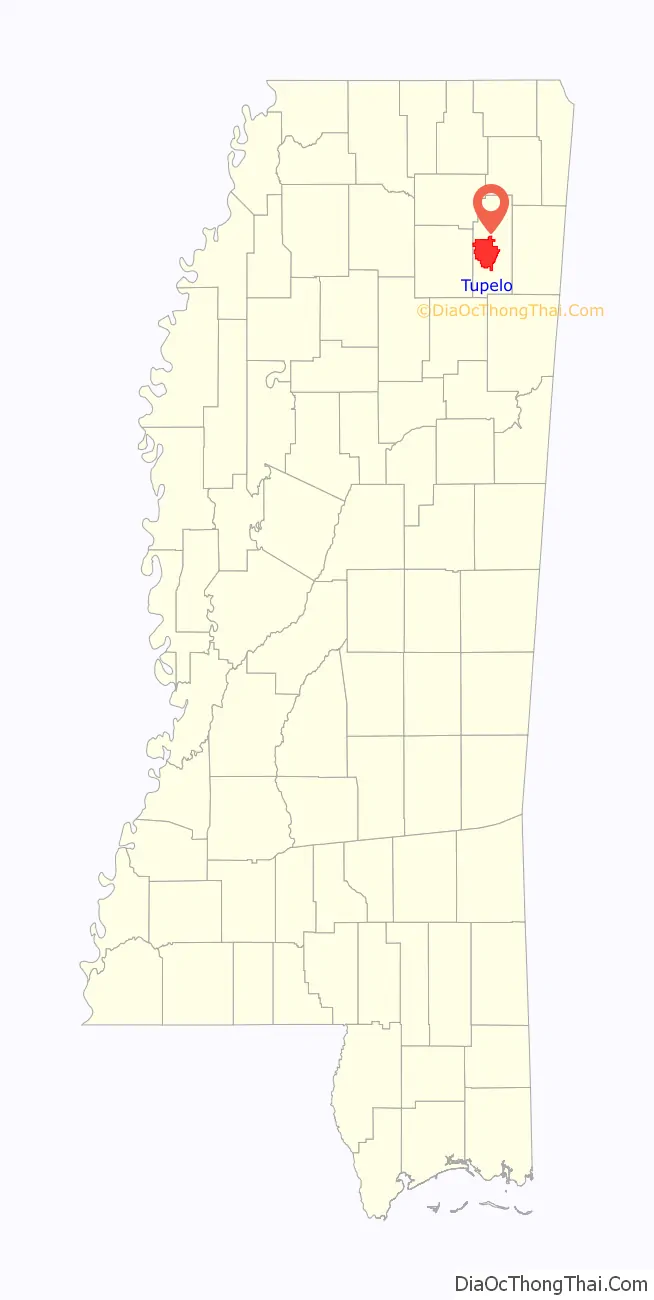
Tupelo location map. Where is Tupelo city?
History
European settlement
Indigenous peoples, including the Chickasaw and Choctaw, occupied the area prior to European settlement. The French and British traded with these indigenous peoples and tried to form alliances with them. The French established towns in Mississippi mostly on the Gulf Coast. At times, the European powers came into armed conflict. On May 26, 1736, the Battle of Ackia was fought near the site of present-day Tupelo; British and Chickasaw soldiers repelled a French and Choctaw attack on the then-Chickasaw village of Ackia. The French, under Louisiana governor Jean Baptiste Le Moyne, Sieur de Bienville, had sought to link Louisiana with Acadia and the other northern colonies of New France.
In the early 19th century, after years of trading and encroachment by European-American settlers from the United States, conflicts increased as the US settlers tried to gain land from these nations. In 1830, Congress passed the Indian Removal Act and authorized the relocation of all the Southeast Native Americans west of the Mississippi River, which was completed by the end of the 1830s.
In the early years of settlement, European-Americans named this town “Gum Pond”, supposedly due to its numerous tupelo trees, known locally as “blackgum”. The city still hosts the annual Gumtree Arts Festival.
Civil War and post-war development
During the Civil War, Union and Confederate forces fought in the area in 1864 in the Battle of Tupelo or battle of oldtown Creek. Designated the Tupelo National Battlefield, the battlefield is administered by the National Park Service (NPS). In addition, the Brices Cross Roads National Battlefield, about ten miles north, commemorates another American Civil War battle.
After the war, a cross-state railroad for northern Mississippi was constructed through the town, which encouraged industry and growth. With expansion, the town changed its name to Tupelo, in honor of the battle. It was incorporated in 1870.
20th century to present
By the early twentieth century the town had become a site of cotton textile mills, which provided new jobs for residents of the rural area. Under the state’s segregation practices, the mills employed only white adults and children. Reformers documented the child workers and attempted to protect them through labor laws.
The last known bank robbery by Machine Gun Kelly, a Prohibition-era gangster, took place on November 30, 1932, at the Citizen’s State Bank in Tupelo; his gang netted $38,000 ($755,000 in current dollar terms). After the robbery, the bank’s chief teller said of Kelly, “He was the kind of guy that, if you looked at him, you would never thought he was a bank robber.”
During the Great Depression, Tupelo was electrified by the new Tennessee Valley Authority, which had constructed dams and power plants throughout the region to generate hydroelectric power for the large, rural area. The distribution infrastructure was built with federal assistance as well, employing many local workers. In 1935, President Franklin Roosevelt visited this “First TVA City”.
Tupelo had only 20 Jewish residents at the beginning of the Great Depression, out of 20,000 total residents. Temple B’nai Israel was established in Tupelo in 1939. The congregation first met in Tupelo City Hall. It later rented space on South Spring Street above the Fooks’ Chevrolet dealership. In 1953, it moved to space over Biggs Furniture Store. A synagogue building was dedicated in 1957, with then-Mayor James Ballard giving the remarks.
Into the late 1950s several long-distance trains served Tupelo. These included the Gulf, Mobile & Ohio’s Gulf Coast Rebel (St. Louis – Mobile) and the Frisco Railroad’s Kansas City-Florida Special (Kansas City – Memphis – Jacksonville), Memphian (Memphis – Birmingham) and its Sunnyland (Kansas City to the west; sections east to Birmingham and Pensacola). The Frisco’s Southland ceased running in December 9, 1967, marking the last passenger train in northeast Mississippi.
In 2007, the nearby village of Blue Springs was selected as the site for Toyota’s 11th automobile manufacturing plant in the United States.
In 2013 Gale Stauffer of the Tupelo Police Department died in a set up ambush following a bank robbery, possibly the first officer killed in the line of duty in the department’s history.
President Donald Trump visited the city of Tupelo twice, in 2018 and 2019. He held a campaign rally for Senator Cindy Hyde-Smith on November 26, 2018, at the Tupelo Regional Airport. Nearly one year later, the president returned to Tupelo to hold another rally (this time for Governor Tate Reeves) on November 1, 2019, at the BancorpSouth Arena. These campaign rallies were broadcast on national television and received attention from news networks, such as CNN and Fox News.
Severe weather
The spring of 1936 brought Tupelo one of its worst-ever natural disasters, part of the Tupelo-Gainesville tornado outbreak of April 5–6 in that year. The storm leveled 48 city blocks and over 200 homes, killing 216 people and injuring more than 700 persons. It struck at night, destroying large residential areas on the city’s north side. Among the survivors was Elvis Presley, then a baby. Obliterating the Gum Pond neighborhood, the tornado dropped most of the victims’ bodies in the pond. The storm has since been rated F5 on the Fujita scale. The Tupelo Tornado is recognized as one of the deadliest in U.S. history.
The Mississippi State Geologist estimated a final death toll of 233 persons, but 100 whites were still reported as hospitalized at the time. Because the white newspapers did not publish news about blacks until the 1940s and 1950s, historians have had difficulty learning the fates of blacks injured in the tornado. Based on this, historians now estimate the death toll was higher than in official records. Fire broke out at the segregated Lee County Training School, which was destroyed. Its bricks were salvaged for other uses.
The area is subject to tornadoes. On May 8, 2008, one rated an EF3 on the Enhanced Fujita Scale struck the town. On April 28, 2014, another large EF3 tornado struck Tupelo and the surrounding communities, causing significant damage. On the night of May 2, 2021, two EF1 tornadoes formed near town with the second being a large tornado that directly struck the northwest side of downtown, prompting a tornado emergency to be issued by the National Weather Service.
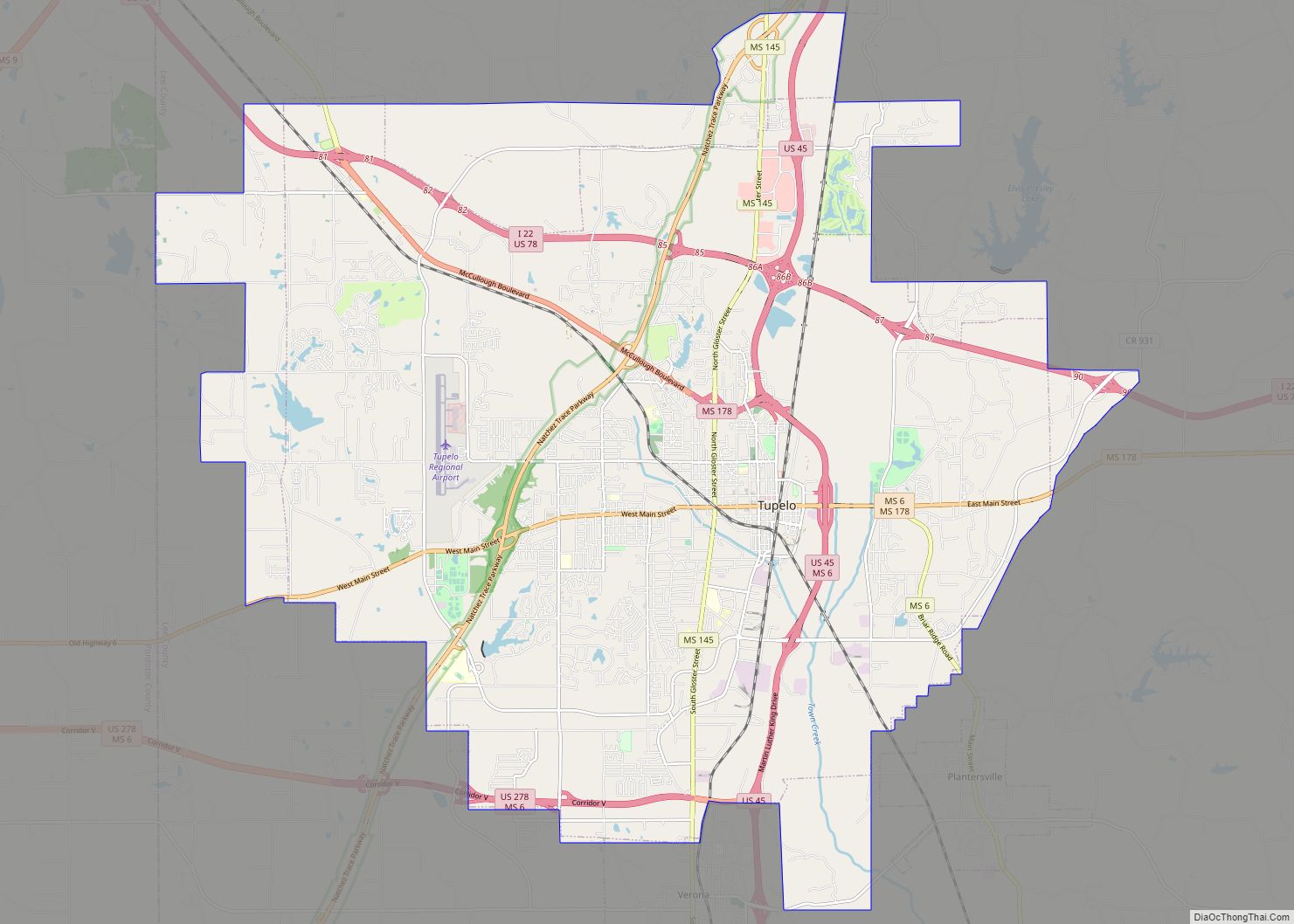
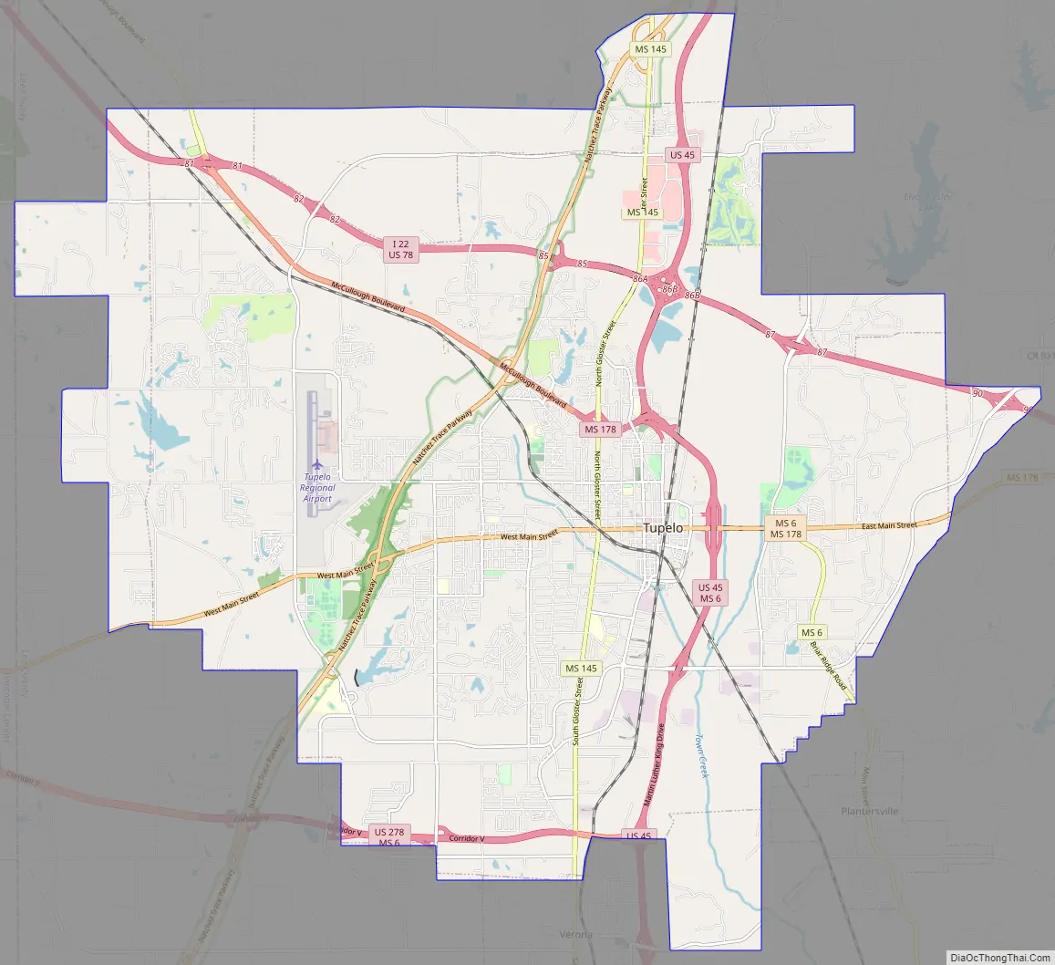
Tupelo Road Map
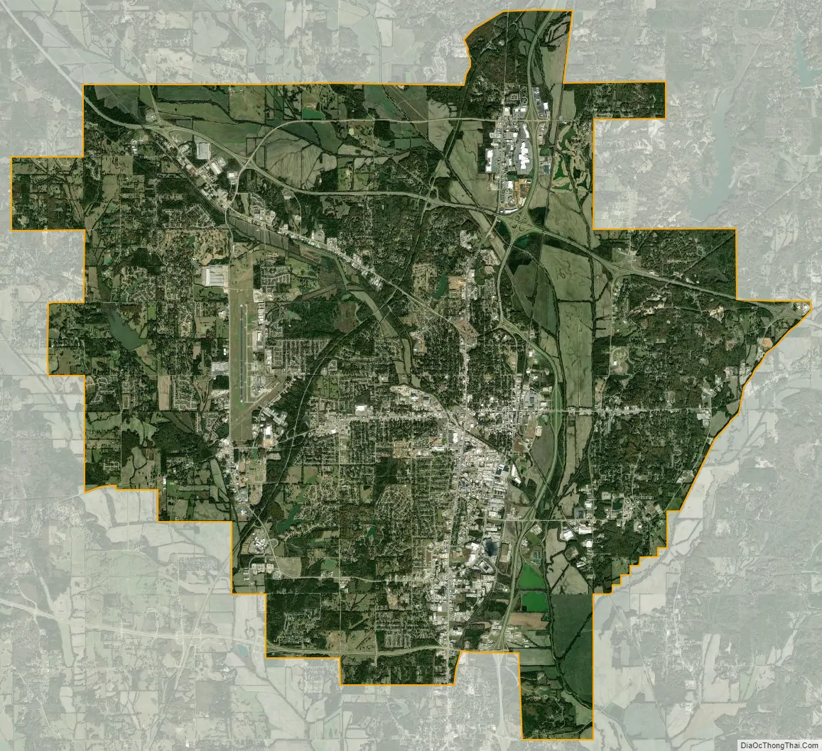
Tupelo city Satellite Map
Geography
Tupelo is located in northeast Mississippi, north of Columbus, on Interstate 22 and U.S. Route 78, midway between Memphis, Tennessee (northwest) and Birmingham, Alabama (southeast).
According to the United States Census Bureau, the city has a total area of 51.4 square miles (133 km), of which 51.1 square miles (132 km) is land and 0.3 square miles (0.78 km) (0.62%) is water.
Climate
Like the rest of the state, Tupelo has a humid subtropical climate (Cfa in the Köppen climate classification); it is part of USDA hardiness zone 7b. The normal monthly mean temperature ranges from 43.4 °F (6.3 °C) in January to 82.3 °F (27.9 °C) in July, while, on average, there are 3.0 days where the temperature stays at or below freezing, 55 days with a low at or below freezing, and 67 days with a high at or above 90 °F (32 °C) per year. The all-time record low is −14 °F (−26 °C), set on January 27, 1940, while the all-time record high is 109 °F (43 °C), set on July 29, 1930. However, temperatures at or below 0 °F (−18 °C) are rare, having last occurred December 23, 1989, the date of the all-time record low for December; additionally, while highs can reach 100 °F (38 °C) several days a row during severe heat waves, several years may pass between such readings.
Precipitation is high, averaging 57.74 inches (1,467 mm) annually. On average, December is the single wettest month, and February through May are also especially wet; September and October are the driest months. The rainiest calendar day on record is March 21, 1955 when 9.40 inches (239 mm) of rain fell; monthly precipitation has ranged from trace amounts in August 1983 to 19.89 inches (505 mm) in December 1982. Snow is uncommon, with many years receiving trace amounts or no snowfall at all, and normal (1981–2010) winter snowfall stands at 2.1 inches (5.3 cm). The most snow in one calendar day was 8.0 inches (20 cm) on January 24, 1940, contributing to the 9.2 inches (23 cm) that fell that month, the snowiest on record; the snowiest winter was 1935–36 with 14.8 inches (38 cm).
See also
Map of Mississippi State and its subdivision:- Adams
- Alcorn
- Amite
- Attala
- Benton
- Bolivar
- Calhoun
- Carroll
- Chickasaw
- Choctaw
- Claiborne
- Clarke
- Clay
- Coahoma
- Copiah
- Covington
- Desoto
- Forrest
- Franklin
- George
- Greene
- Grenada
- Hancock
- Harrison
- Hinds
- Holmes
- Humphreys
- Issaquena
- Itawamba
- Jackson
- Jasper
- Jefferson
- Jefferson Davis
- Jones
- Kemper
- Lafayette
- Lamar
- Lauderdale
- Lawrence
- Leake
- Lee
- Leflore
- Lincoln
- Lowndes
- Madison
- Marion
- Marshall
- Monroe
- Montgomery
- Neshoba
- Newton
- Noxubee
- Oktibbeha
- Panola
- Pearl River
- Perry
- Pike
- Pontotoc
- Prentiss
- Quitman
- Rankin
- Scott
- Sharkey
- Simpson
- Smith
- Stone
- Sunflower
- Tallahatchie
- Tate
- Tippah
- Tishomingo
- Tunica
- Union
- Walthall
- Warren
- Washington
- Wayne
- Webster
- Wilkinson
- Winston
- Yalobusha
- Yazoo
- Alabama
- Alaska
- Arizona
- Arkansas
- California
- Colorado
- Connecticut
- Delaware
- District of Columbia
- Florida
- Georgia
- Hawaii
- Idaho
- Illinois
- Indiana
- Iowa
- Kansas
- Kentucky
- Louisiana
- Maine
- Maryland
- Massachusetts
- Michigan
- Minnesota
- Mississippi
- Missouri
- Montana
- Nebraska
- Nevada
- New Hampshire
- New Jersey
- New Mexico
- New York
- North Carolina
- North Dakota
- Ohio
- Oklahoma
- Oregon
- Pennsylvania
- Rhode Island
- South Carolina
- South Dakota
- Tennessee
- Texas
- Utah
- Vermont
- Virginia
- Washington
- West Virginia
- Wisconsin
- Wyoming