Tunica is a town in and the county seat of Tunica County, Mississippi, United States, near the Mississippi River. Until the early 1990s when casino gambling was introduced in the area, Tunica had been one of the most impoverished places in the United States. Despite this economic improvement, Tunica’s population continues to decline from its peak in 1970.
| Name: | Tunica town |
|---|---|
| LSAD Code: | 43 |
| LSAD Description: | town (suffix) |
| State: | Mississippi |
| County: | Tunica County |
| Incorporated: | 1884 |
| Elevation: | 197 ft (60 m) |
| Total Area: | 0.66 sq mi (1.72 km²) |
| Land Area: | 0.66 sq mi (1.72 km²) |
| Water Area: | 0.00 sq mi (0.00 km²) |
| Total Population: | 1,026 |
| Population Density: | 1,545.18/sq mi (596.88/km²) |
| ZIP code: | 38676 |
| Area code: | 662 |
| FIPS code: | 2874760 |
| GNISfeature ID: | 0678927 |
| Website: | townoftunica.com |
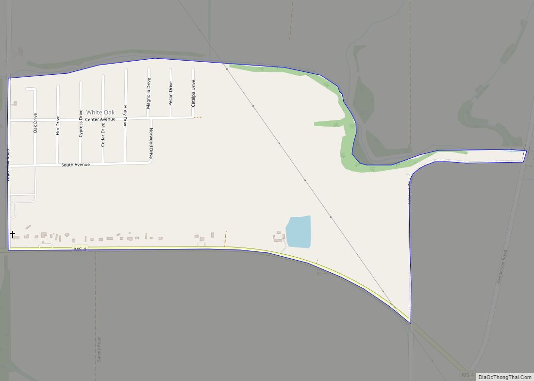
Online Interactive Map
Click on ![]() to view map in "full screen" mode.
to view map in "full screen" mode.
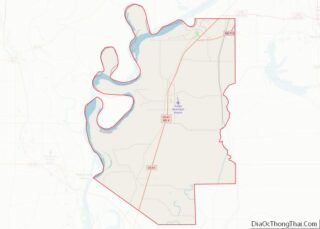
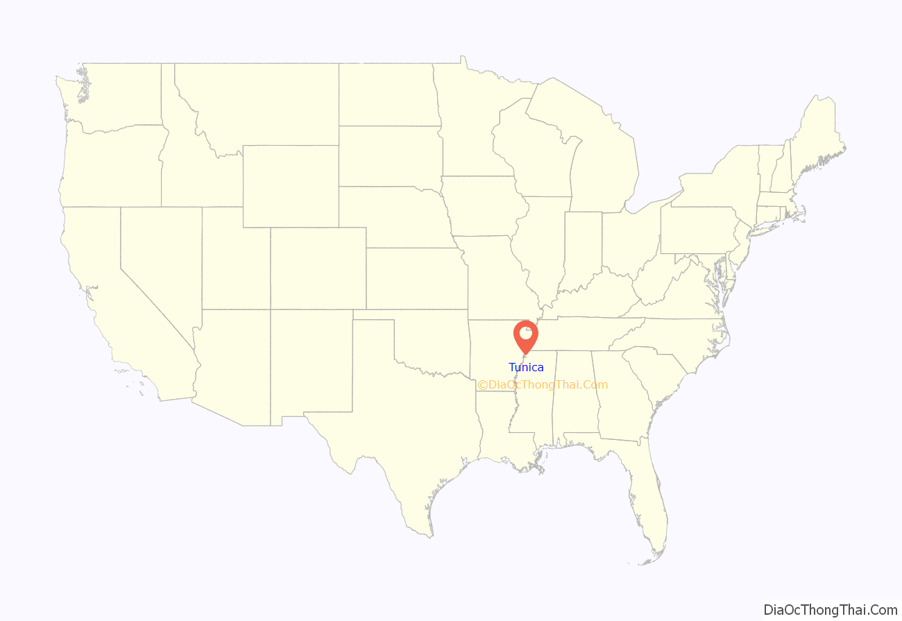
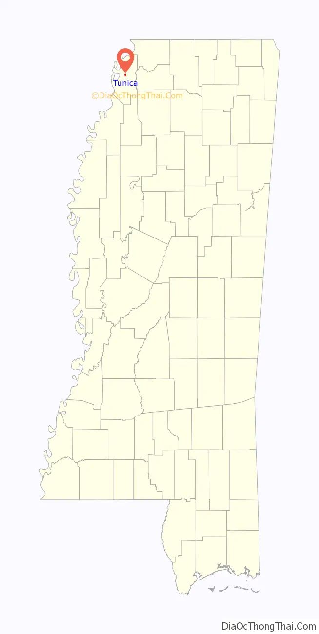
Tunica location map. Where is Tunica town?
History
The community derives its name from the Tunica Indians which once were numerous in the area. Tunica is the fourth community to serve as county seat of Tunica County, succeeding earlier county seats at Commerce (1839–1842, 1842–1847), Peyton (1842, temporary) and Austin (1847–1888).
Tunica gained national attention for its deprived neighborhood known as “Sugar Ditch Alley”, named for the open sewer located there. Its fortunes have improved since development of a gambling resort area nearby during the early 1990s. While population growth has taken place mostly outside Tunica, the major casinos employ numerous locals. They attract visitors from nearby Memphis, Tennessee, West Memphis, Arkansas and all over the Southeastern United States.
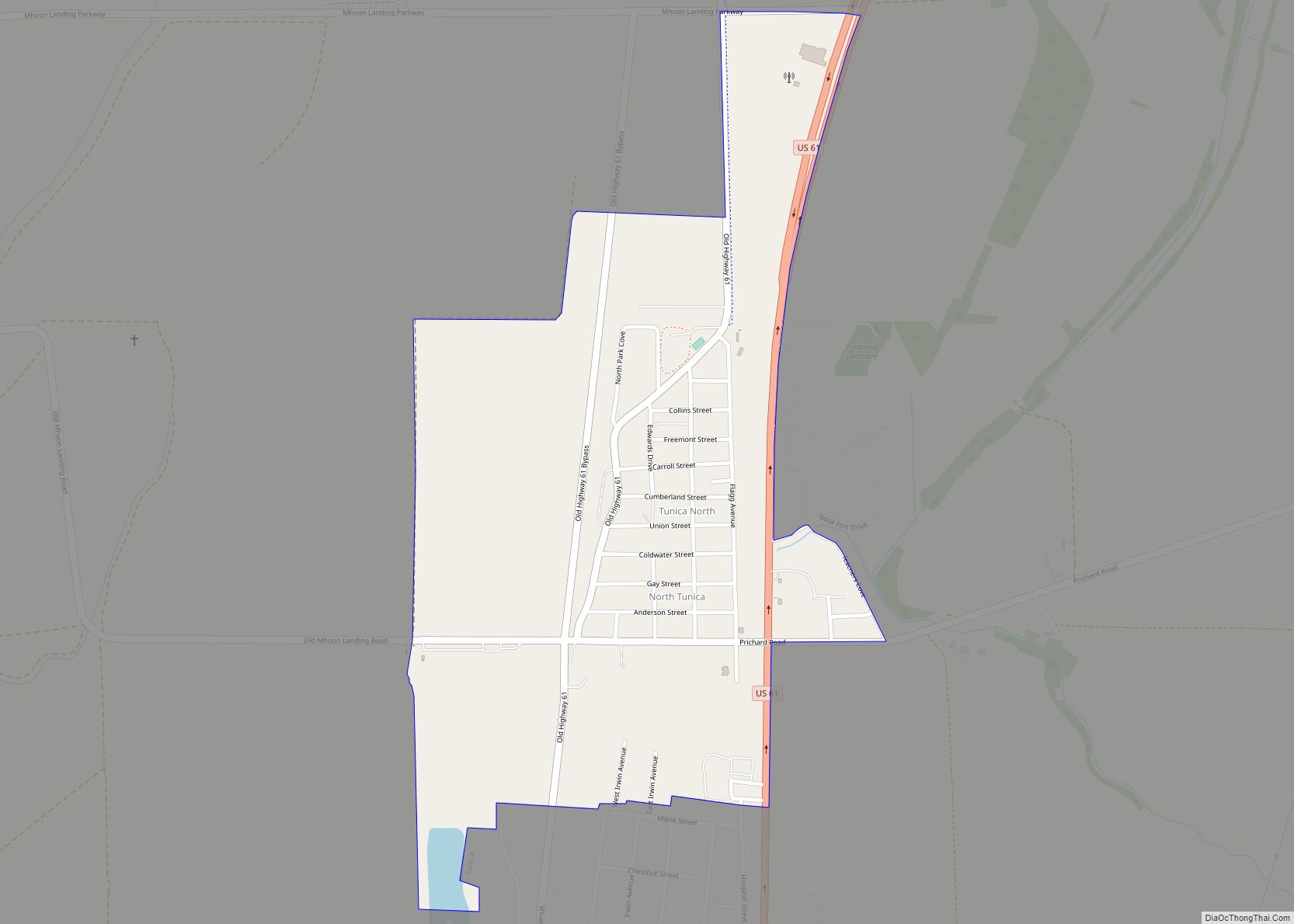
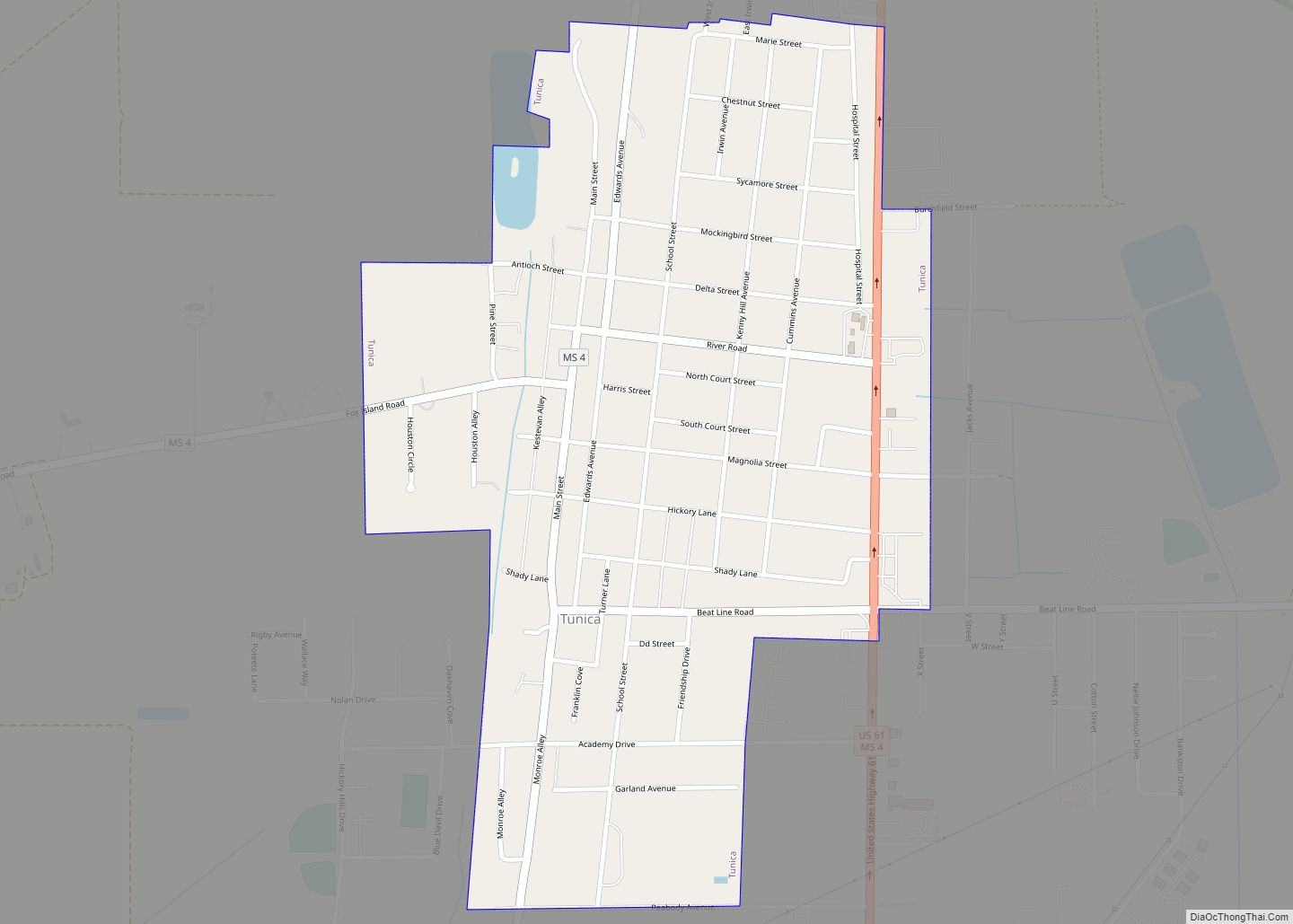
Tunica Road Map
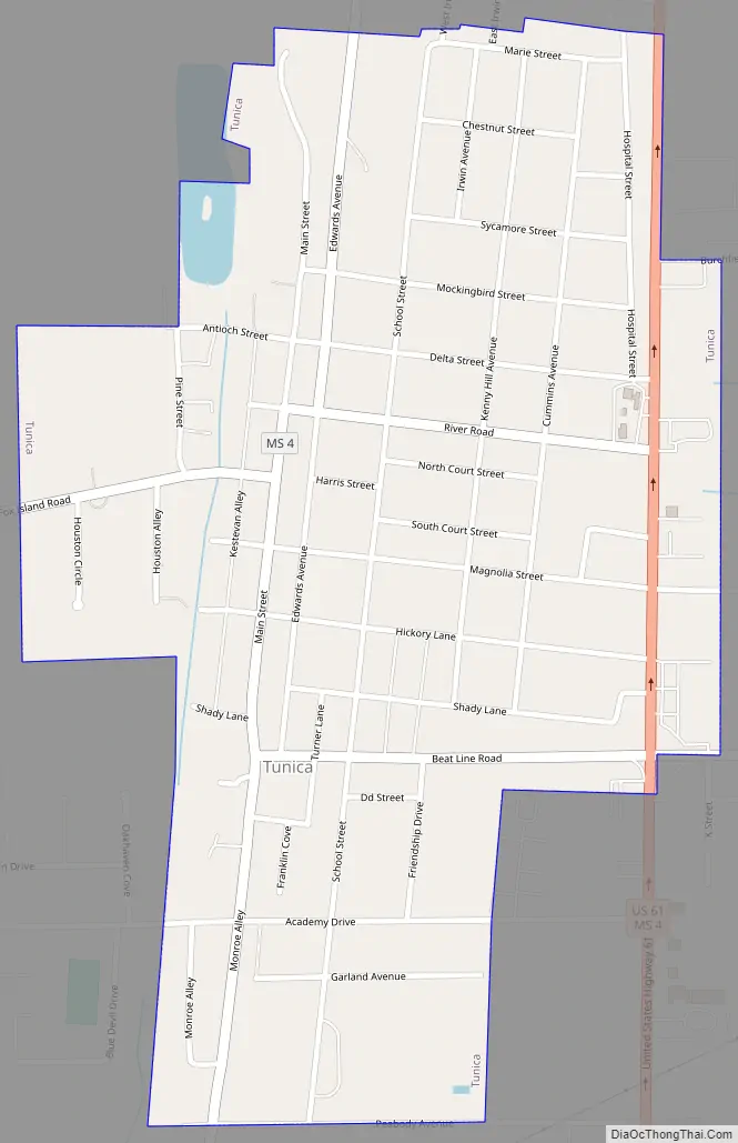
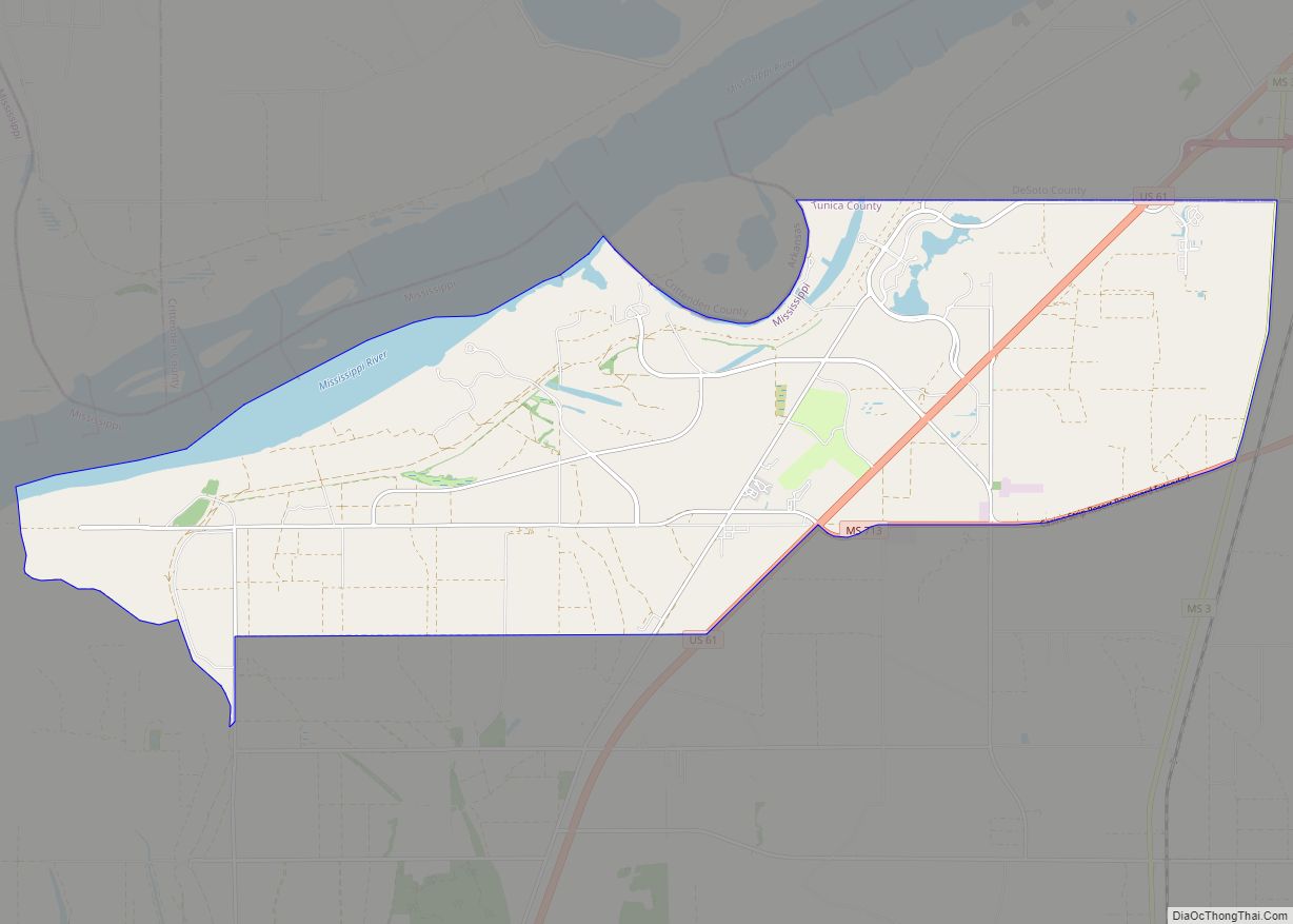
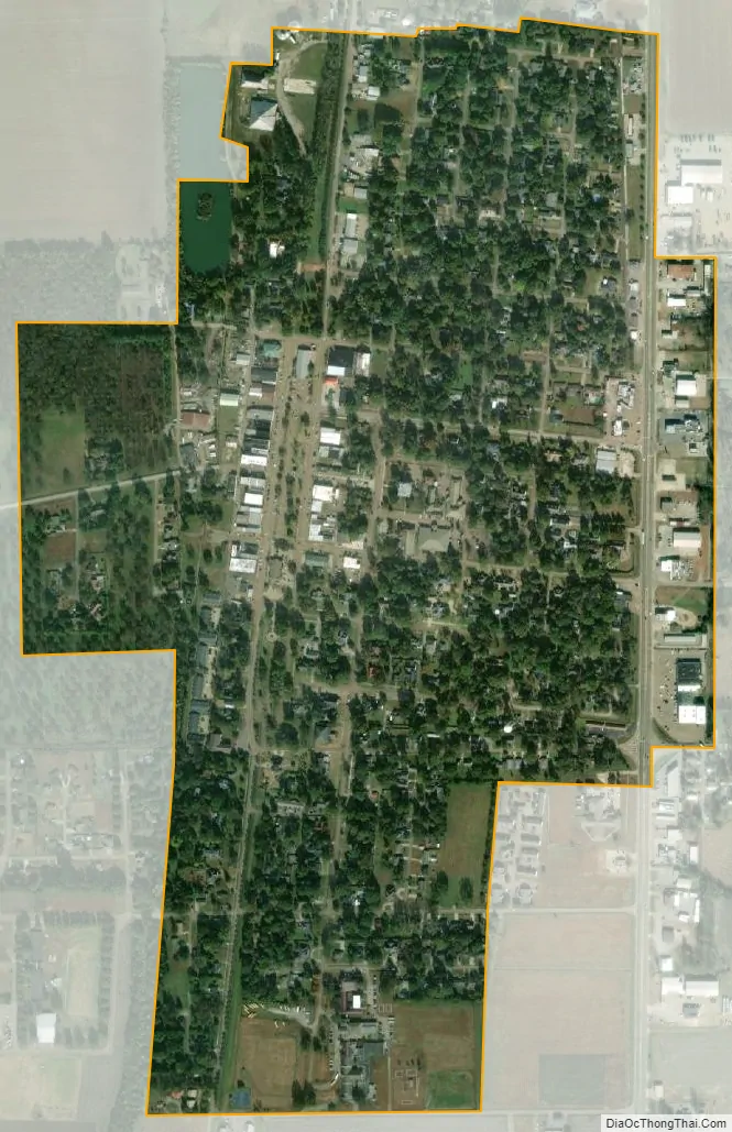
Tunica city Satellite Map
Geography
Tunica is located approximately 20 miles (32 km) south of Downtown Memphis, Tennessee.
According to the United States Census Bureau, the town has a total area of 0.7 square miles (1.8 km), all land.
See also
Map of Mississippi State and its subdivision:- Adams
- Alcorn
- Amite
- Attala
- Benton
- Bolivar
- Calhoun
- Carroll
- Chickasaw
- Choctaw
- Claiborne
- Clarke
- Clay
- Coahoma
- Copiah
- Covington
- Desoto
- Forrest
- Franklin
- George
- Greene
- Grenada
- Hancock
- Harrison
- Hinds
- Holmes
- Humphreys
- Issaquena
- Itawamba
- Jackson
- Jasper
- Jefferson
- Jefferson Davis
- Jones
- Kemper
- Lafayette
- Lamar
- Lauderdale
- Lawrence
- Leake
- Lee
- Leflore
- Lincoln
- Lowndes
- Madison
- Marion
- Marshall
- Monroe
- Montgomery
- Neshoba
- Newton
- Noxubee
- Oktibbeha
- Panola
- Pearl River
- Perry
- Pike
- Pontotoc
- Prentiss
- Quitman
- Rankin
- Scott
- Sharkey
- Simpson
- Smith
- Stone
- Sunflower
- Tallahatchie
- Tate
- Tippah
- Tishomingo
- Tunica
- Union
- Walthall
- Warren
- Washington
- Wayne
- Webster
- Wilkinson
- Winston
- Yalobusha
- Yazoo
- Alabama
- Alaska
- Arizona
- Arkansas
- California
- Colorado
- Connecticut
- Delaware
- District of Columbia
- Florida
- Georgia
- Hawaii
- Idaho
- Illinois
- Indiana
- Iowa
- Kansas
- Kentucky
- Louisiana
- Maine
- Maryland
- Massachusetts
- Michigan
- Minnesota
- Mississippi
- Missouri
- Montana
- Nebraska
- Nevada
- New Hampshire
- New Jersey
- New Mexico
- New York
- North Carolina
- North Dakota
- Ohio
- Oklahoma
- Oregon
- Pennsylvania
- Rhode Island
- South Carolina
- South Dakota
- Tennessee
- Texas
- Utah
- Vermont
- Virginia
- Washington
- West Virginia
- Wisconsin
- Wyoming