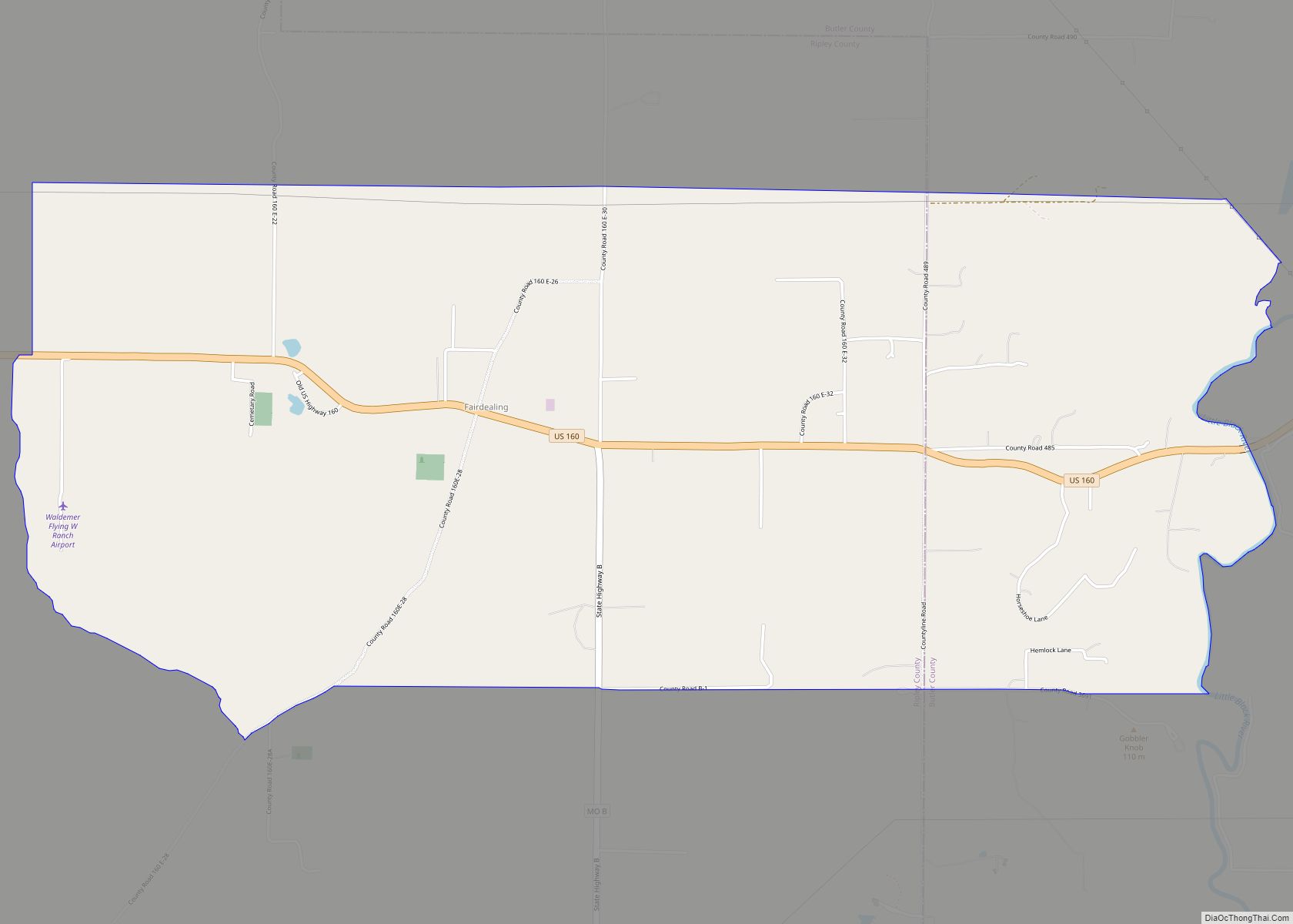
Map of Fair Play city

Map of Fair Play city, Missouri

Fair Play is a city in western Polk County, Missouri, United States. The population was 475 at the 2010 census. It is part of the Springfield, Missouri Metropolitan Statistical Area. Fair Play city overview: Name: Fair Play city LSAD Code: 25 LSAD Description: city (suffix) State: Missouri County: Polk County Elevation: 1,017 ft (310 m) Total Area: … Read more

Map of Fairfax city, Missouri

Map of Fairfax city, Missouri

Fairfax is a city in Clark Township, Atchison County, Missouri, United States. The population was 648 at the 2020 census. Fairfax city overview: Name: Fairfax city LSAD Code: 25 LSAD Description: city (suffix) State: Missouri County: Atchison County Elevation: 922 ft (281 m) Total Area: 0.47 sq mi (1.22 km²) Land Area: 0.47 sq mi (1.21 km²) Water Area: 0.01 sq mi (0.01 km²) Total Population: … Read more

Map of Farley village, Missouri

Map of Farley village, Missouri

Farley is a village in Platte County, Missouri, within the United States, along the Platte River. The population was 269 at the 2010 census. It lies within the Kansas City metropolitan area. Farley village overview: Name: Farley village LSAD Code: 47 LSAD Description: village (suffix) State: Missouri County: Platte County Elevation: 804 ft (245 m) Total Area: … Read more

Map of Farber city

Map of Farber city

Farber is a city in Audrain County, Missouri, United States. The population was 322 at the 2010 census. Farber city overview: Name: Farber city LSAD Code: 25 LSAD Description: city (suffix) State: Missouri County: Audrain County Elevation: 768 ft (234 m) Total Area: 0.29 sq mi (0.74 km²) Land Area: 0.29 sq mi (0.74 km²) Water Area: 0.00 sq mi (0.00 km²) Total Population: 255 Population … Read more

Map of Fairview town, Missouri

Map of Fairview town, Missouri

Fairview is a city in southeastern Newton County, Missouri, United States. The population was 383 at the 2010 census. It is part of the Joplin, Missouri Metropolitan Statistical Area. Fairview town overview: Name: Fairview town LSAD Code: 43 LSAD Description: town (suffix) State: Missouri County: Newton County Elevation: 1,296 ft (395 m) Total Area: 0.47 sq mi (1.22 km²) Land … Read more

Map of Fenton city, Missouri

Map of Fenton city, Missouri

Fenton is a city in St. Louis County, Missouri, United States, and a suburb of St. Louis. The population was 4,022 at the 2010 census. Fenton city overview: Name: Fenton city LSAD Code: 25 LSAD Description: city (suffix) State: Missouri County: St. Louis County Founded: 1818 Incorporated: 1948 Elevation: 413 ft (126 m) Total Area: 6.59 sq mi (17.07 km²) … Read more

Map of Fayette city, Missouri

Map of Fayette city, Missouri

Fayette is a city in and the county seat of Howard County, Missouri, United States. It is part of the Columbia, Missouri Metropolitan Statistical Area. The city’s population was 2,803 at the 2020 census. Fayette city overview: Name: Fayette city LSAD Code: 25 LSAD Description: city (suffix) State: Missouri County: Howard County Founded: 1823 Elevation: … Read more

Map of Farmington city, Missouri

Map of Farmington city, Missouri

Farmington is a city in St. Francois County located about 75 miles (121 km) southwest of St. Louis in the Lead Belt region in Missouri. As of the 2020 census, the population was 18,217. It is the county seat of St. Francois County. Farmington was established in 1822 as Murphy’s Settlement, named for William Murphy of … Read more

Map of Festus city

Map of Festus city

Festus is a city situated in Jefferson County, Missouri, United States, and is also a suburb of St. Louis. It had a population of 12,706 individuals as of the 2020 census. Festus city overview: Name: Festus city LSAD Code: 25 LSAD Description: city (suffix) State: Missouri County: Jefferson County Incorporated: 1887 Elevation: 512 ft (156 m) Total … Read more

Map of Ferrelview village

Map of Ferrelview village

Ferrelview is a village in Platte County, Missouri in the United States. It is within the Kansas City metropolitan area. The population was 451 at the 2010 census. Ferrelview village overview: Name: Ferrelview village LSAD Code: 47 LSAD Description: village (suffix) State: Missouri County: Platte County Elevation: 948 ft (289 m) Total Area: 0.11 sq mi (0.29 km²) Land Area: … Read more

Map of Ferguson city, Missouri

Map of Ferguson city, Missouri

Ferguson is a city in St. Louis County, Missouri, United States. It is part of the Greater St. Louis metropolitan area. Per the 2020 census, the population was 18,527. Ferguson city overview: Name: Ferguson city LSAD Code: 25 LSAD Description: city (suffix) State: Missouri County: St. Louis County Incorporated: 1894 Elevation: 554 ft (169 m) Total Area: … Read more

Map of Fisk city

Map of Fisk city

Fisk is a small city in Butler County, Southeast Missouri, United States. It is located right along the Butler-Stoddard County line on U.S. Route 60, along the St. Francis River. The population was 312 at the 2020 census. Fisk is included within the Poplar Bluff Micropolitan Statistical Area. Fisk city overview: Name: Fisk city LSAD … Read more