Fayette is a city in and the county seat of Howard County, Missouri, United States. It is part of the Columbia, Missouri Metropolitan Statistical Area. The city’s population was 2,803 at the 2020 census.
| Name: | Fayette city |
|---|---|
| LSAD Code: | 25 |
| LSAD Description: | city (suffix) |
| State: | Missouri |
| County: | Howard County |
| Founded: | 1823 |
| Elevation: | 699 ft (213 m) |
| Total Area: | 2.25 sq mi (5.84 km²) |
| Land Area: | 2.22 sq mi (5.74 km²) |
| Water Area: | 0.04 sq mi (0.09 km²) |
| Total Population: | 2,803 |
| Population Density: | 1,264.32/sq mi (488.05/km²) |
| ZIP code: | 65248 |
| Area code: | 660 |
| FIPS code: | 2923842 |
| GNISfeature ID: | 0717869 |
Online Interactive Map
Click on ![]() to view map in "full screen" mode.
to view map in "full screen" mode.
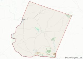
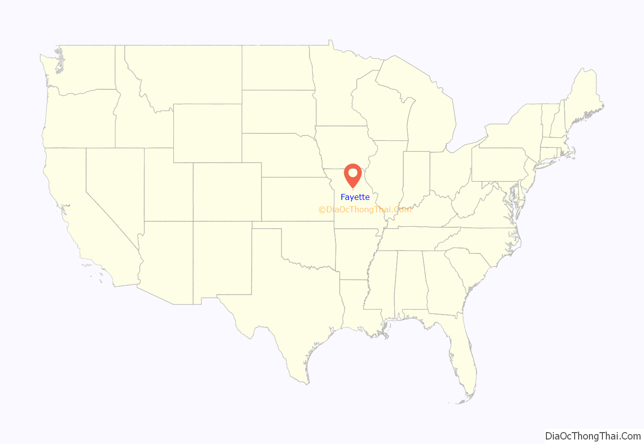
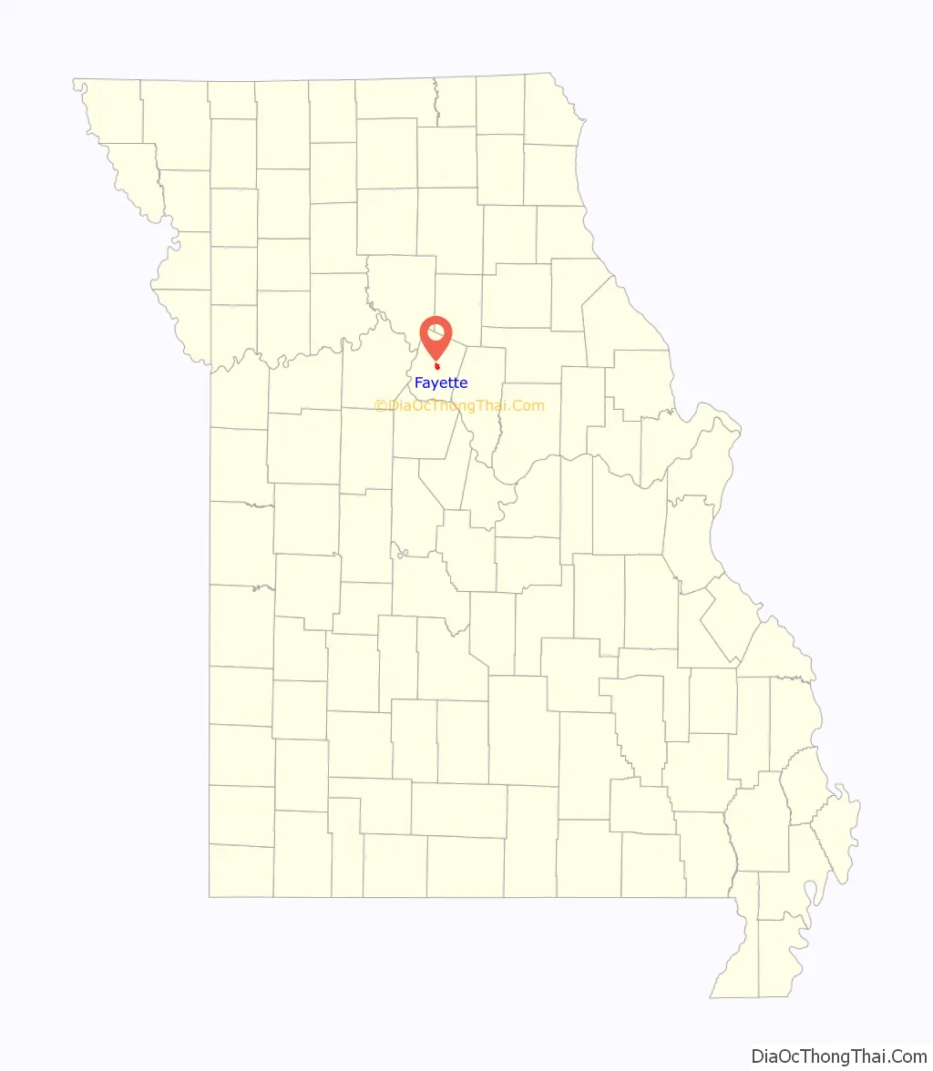
Fayette location map. Where is Fayette city?
History
Fayette was laid out in 1823. The community was named after Gilbert du Motier, Marquis de Lafayette. A post office has been in operation at Fayette since 1824.
The Edwin and Nora Payne Bedford House, Central Methodist College Campus Historic District, Coleman Hall, Fayette City Park Swimming Pool, Fayette Courthouse Square Historic District, Fayette Residential Historic District, Greenwood, Prior Jackson Homeplace, Alfred W. Morrison House, Oakwood, St. Mary’s Episcopal Church, South Main Street Historic District, and Dr. Uriel S. Wright Office are listed on the National Register of Historic Places.
In 1899, 19-year-old, black Fayette resident Frank Embree was accused of raping a 14-year-old white girl. Embree claimed to be innocent; however, after a lynch mob whipped him more than 100 times, he stated that he would “own up” to the crime if the mob agreed to shoot or hang him as an alternative to continuing to torture him. Embree was then hanged, on July 21, 1899, without ever having been tried or convicted of a crime.
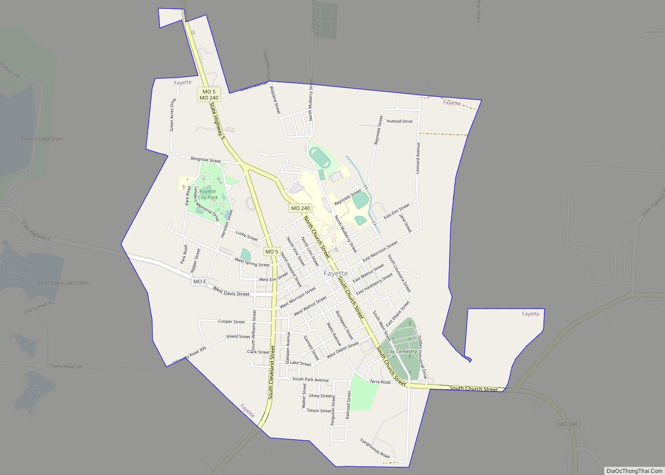
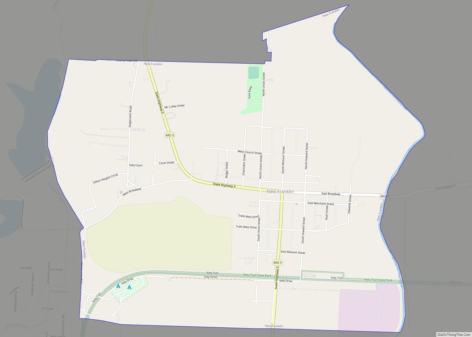
Fayette Road Map
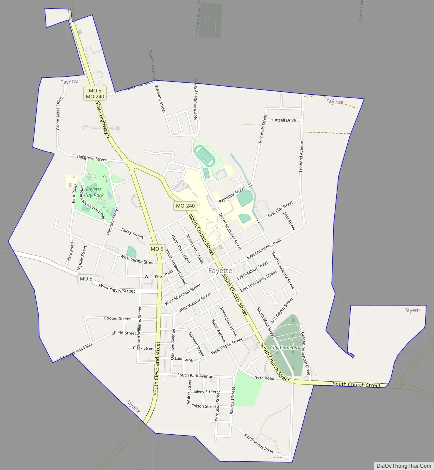
Fayette city Satellite Map
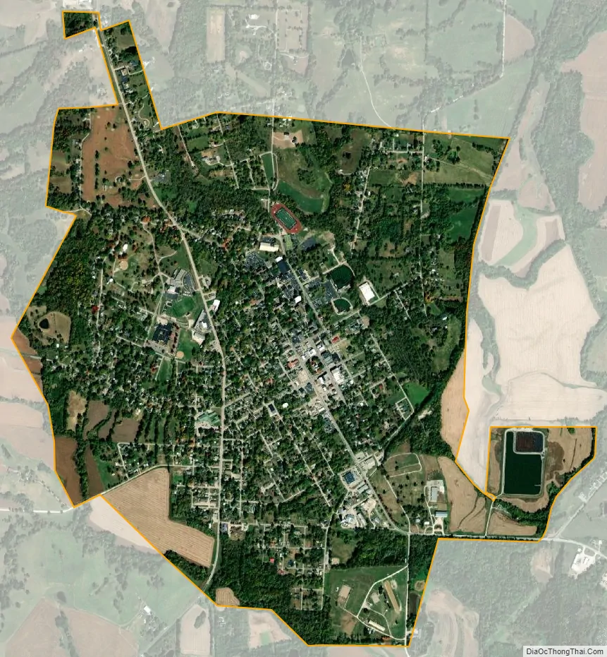
Geography
Fayette is at 39°8′44″N 92°41′10″W / 39.14556°N 92.68611°W / 39.14556; -92.68611 (39.145468, -92.686126). According to the United States Census Bureau, the city has a total area of 2.26 square miles (5.85 km), of which 2.22 square miles (5.75 km) is land and 0.04 square miles (0.10 km) is water.
See also
Map of Missouri State and its subdivision:- Adair
- Andrew
- Atchison
- Audrain
- Barry
- Barton
- Bates
- Benton
- Bollinger
- Boone
- Buchanan
- Butler
- Caldwell
- Callaway
- Camden
- Cape Girardeau
- Carroll
- Carter
- Cass
- Cedar
- Chariton
- Christian
- Clark
- Clay
- Clinton
- Cole
- Cooper
- Crawford
- Dade
- Dallas
- Daviess
- De Kalb
- Dent
- Douglas
- Dunklin
- Franklin
- Gasconade
- Gentry
- Greene
- Grundy
- Harrison
- Henry
- Hickory
- Holt
- Howard
- Howell
- Iron
- Jackson
- Jasper
- Jefferson
- Johnson
- Knox
- Laclede
- Lafayette
- Lawrence
- Lewis
- Lincoln
- Linn
- Livingston
- Macon
- Madison
- Maries
- Marion
- McDonald
- Mercer
- Miller
- Mississippi
- Moniteau
- Monroe
- Montgomery
- Morgan
- New Madrid
- Newton
- Nodaway
- Oregon
- Osage
- Ozark
- Pemiscot
- Perry
- Pettis
- Phelps
- Pike
- Platte
- Polk
- Pulaski
- Putnam
- Ralls
- Randolph
- Ray
- Reynolds
- Ripley
- Saint Charles
- Saint Clair
- Saint Francois
- Saint Louis
- Sainte Genevieve
- Saline
- Schuyler
- Scotland
- Scott
- Shannon
- Shelby
- Stoddard
- Stone
- Sullivan
- Taney
- Texas
- Vernon
- Warren
- Washington
- Wayne
- Webster
- Worth
- Wright
- Alabama
- Alaska
- Arizona
- Arkansas
- California
- Colorado
- Connecticut
- Delaware
- District of Columbia
- Florida
- Georgia
- Hawaii
- Idaho
- Illinois
- Indiana
- Iowa
- Kansas
- Kentucky
- Louisiana
- Maine
- Maryland
- Massachusetts
- Michigan
- Minnesota
- Mississippi
- Missouri
- Montana
- Nebraska
- Nevada
- New Hampshire
- New Jersey
- New Mexico
- New York
- North Carolina
- North Dakota
- Ohio
- Oklahoma
- Oregon
- Pennsylvania
- Rhode Island
- South Carolina
- South Dakota
- Tennessee
- Texas
- Utah
- Vermont
- Virginia
- Washington
- West Virginia
- Wisconsin
- Wyoming