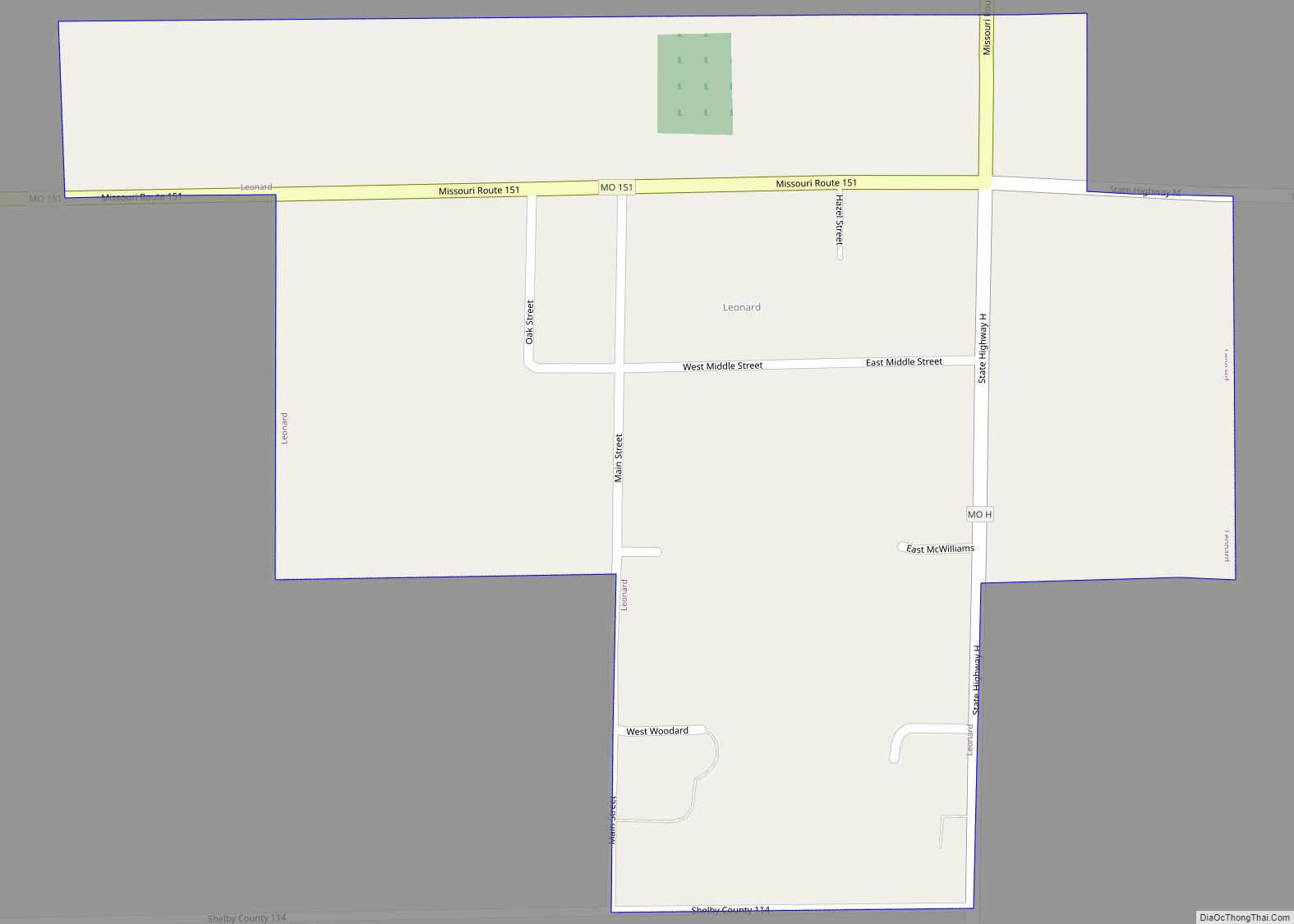
Leonard is a village in northwestern Shelby County, Missouri, United States. The population was 57 at the 2020 census. Leonard village overview: Name: Leonard village LSAD Code: 47 LSAD Description: village (suffix) State: Missouri County: Shelby County Elevation: 781 ft (238 m) Total Area: 0.32 sq mi (0.83 km²) Land Area: 0.32 sq mi (0.83 km²) Water Area: 0.00 sq mi (0.00 km²) Total Population: 57 ... Read more
Missouri Cities and Places
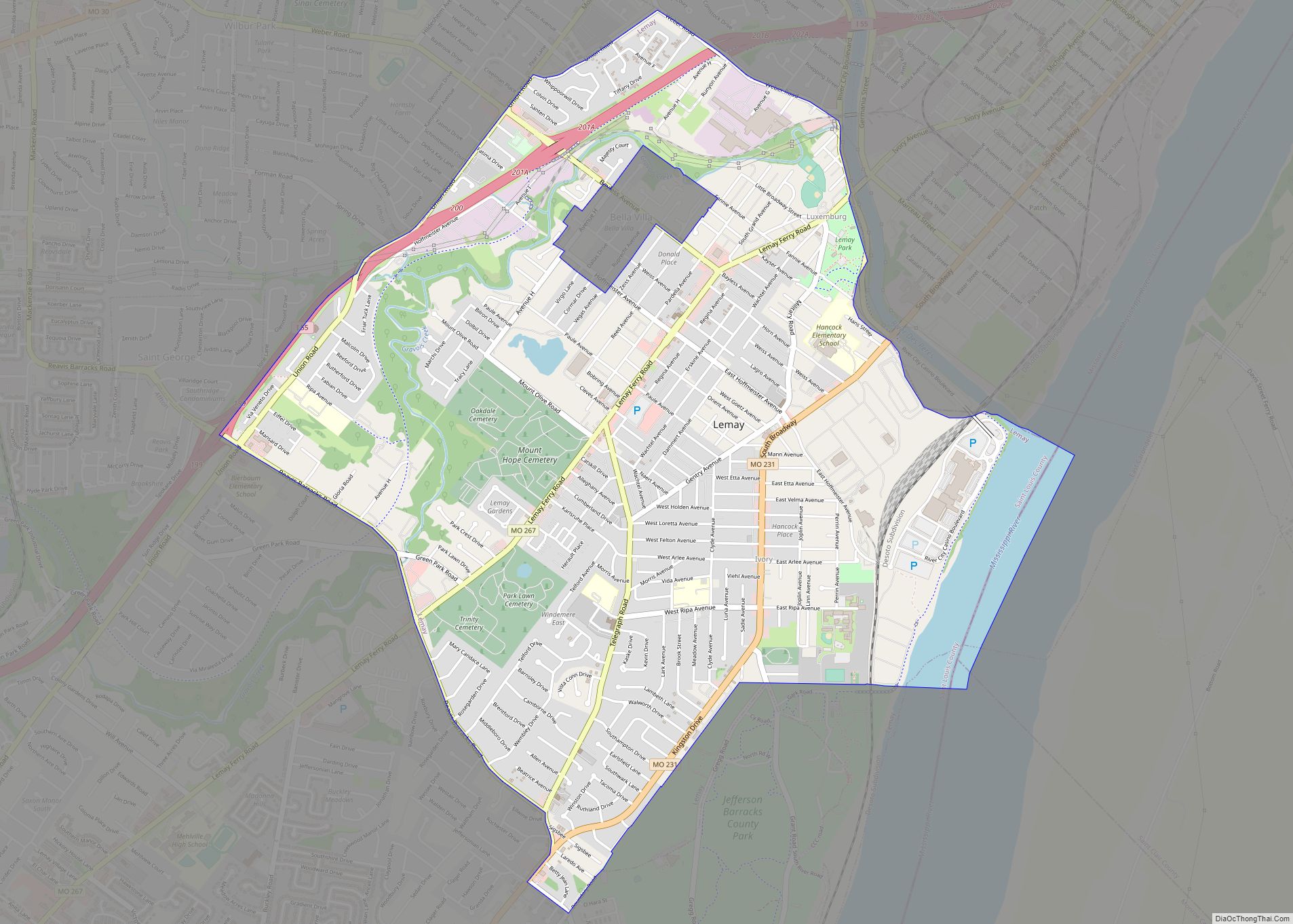
Lemay is a census-designated place (CDP) in south St. Louis County, Missouri, United States. The population was 16,645 at the 2010 census. Lemay CDP overview: Name: Lemay CDP LSAD Code: 57 LSAD Description: CDP (suffix) State: Missouri County: St. Louis County Elevation: 499 ft (152 m) Total Area: 4.31 sq mi (11.15 km²) Land Area: 4.09 sq mi (10.59 km²) Water Area: 0.22 sq mi ... Read more
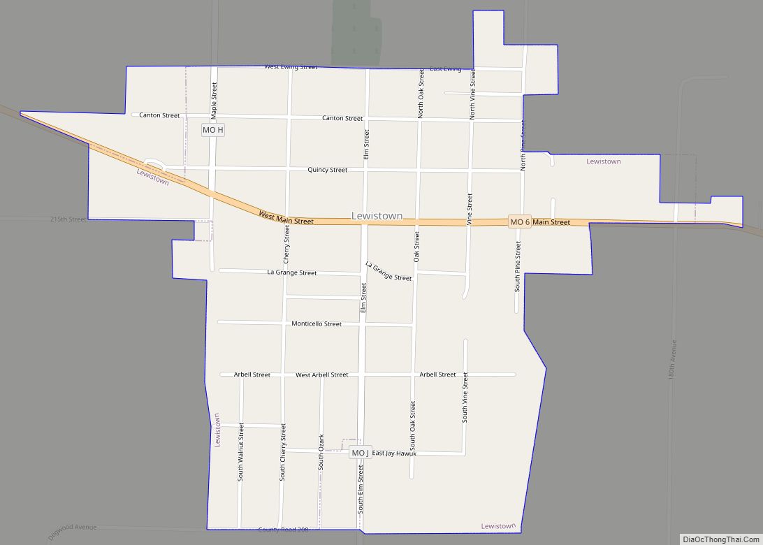
Lewistown is a city in Lewis County, Missouri, United States. The population was 521 at the 2020 census. It is part of the Quincy, IL–MO Micropolitan Statistical Area. It is located on Missouri Route 6 near the junction of Route 6 with Missouri Route 16. Lewistown is in the Lewis County C-1 school district. Lewistown ... Read more
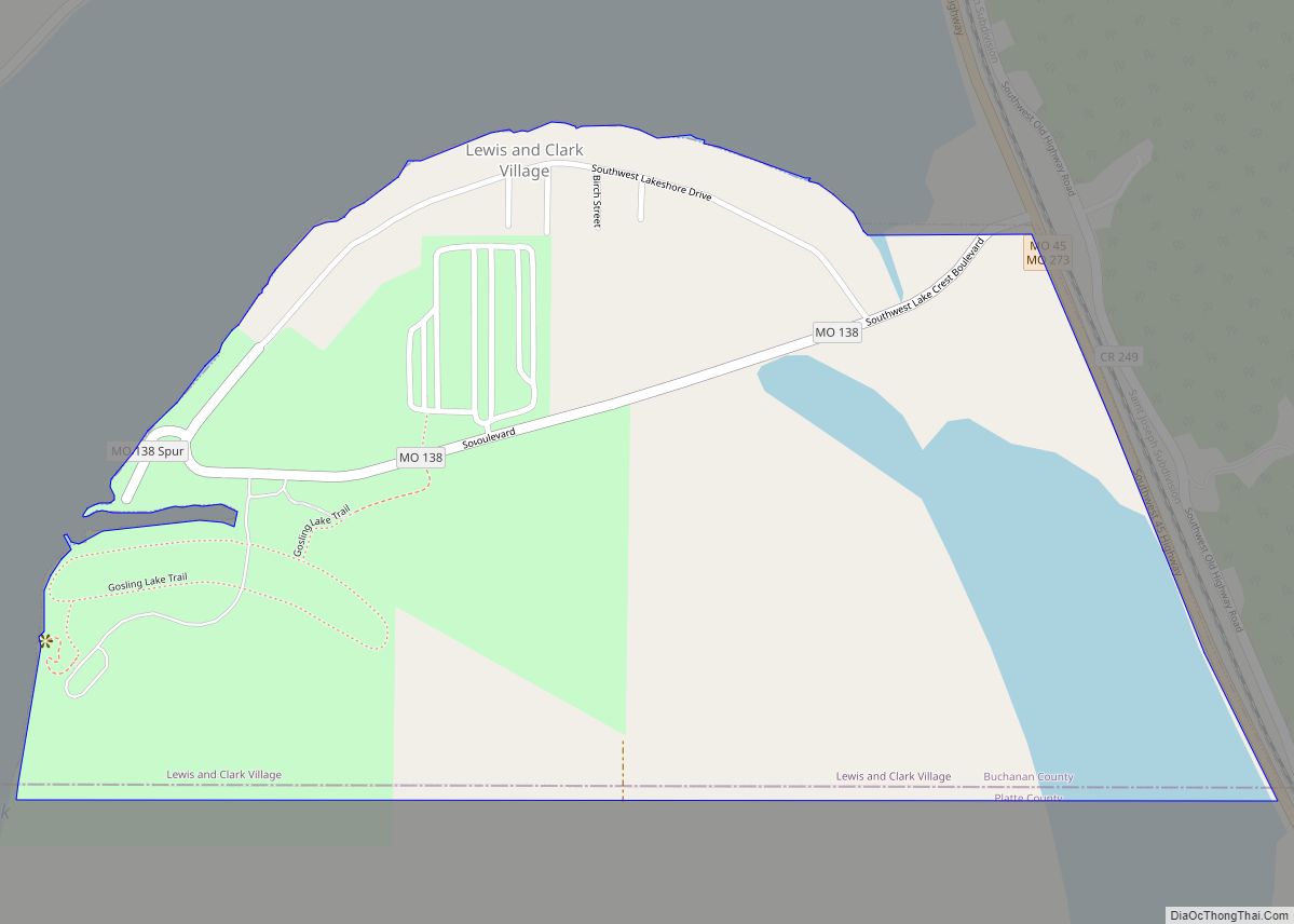
Lewis and Clark Village is a village in Buchanan County, Missouri, United States. The population was 132 at the 2010 census. It is part of the St. Joseph, MO–KS Metropolitan Statistical Area. Lewis and Clark Village town overview: Name: Lewis and Clark Village town LSAD Code: 43 LSAD Description: town (suffix) State: Missouri County: Buchanan ... Read more
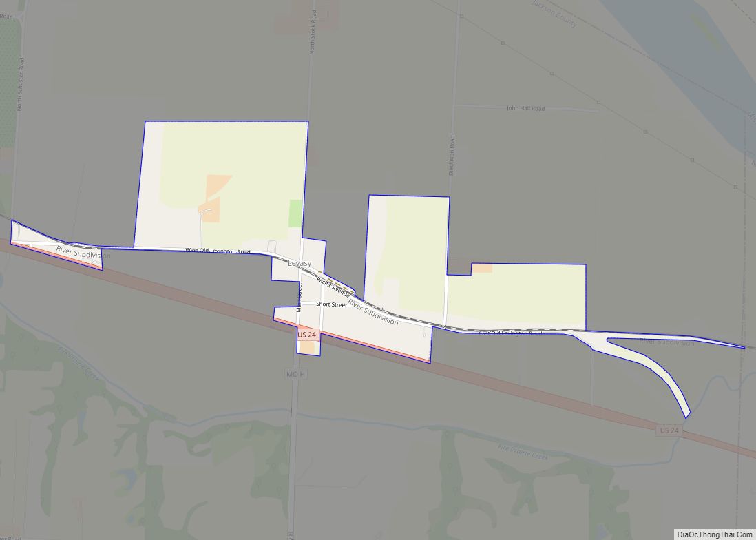
Levasy is a city in Jackson County, Missouri, United States. The population was 83 at the 2010 census. It is part of the Kansas City metropolitan area. Levasy city overview: Name: Levasy city LSAD Code: 25 LSAD Description: city (suffix) State: Missouri County: Jackson County Elevation: 709 ft (216 m) Total Area: 0.60 sq mi (1.56 km²) Land Area: 0.60 sq mi ... Read more
Liberty is a city in and the county seat of Clay County, Missouri, United States and is a suburb of Kansas City, located in the Kansas City Metropolitan Area. As of the 2020 United States Census the population was 30,167. Liberty is home to William Jewell College. Liberty city overview: Name: Liberty city LSAD Code: ... Read more
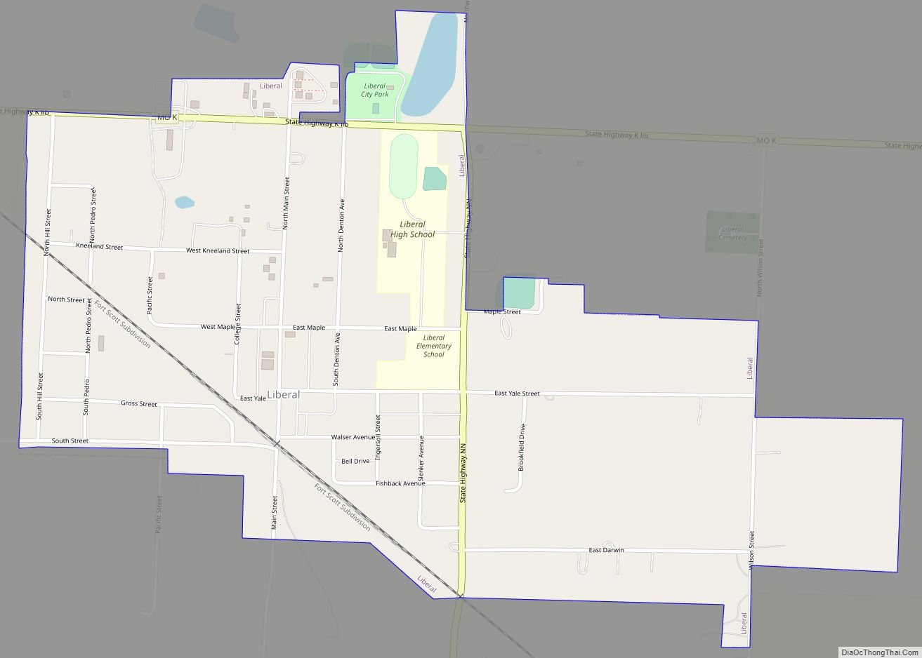
Liberal is a city in Barton County, Missouri, United States. The population was 629 at the 2020 census. Liberal was founded as an atheist utopia in 1880 by lawyer George Walser, who named it after the Liberal League in nearby Lamar. The city had restrictions on both religious buildings and saloons, instead offering intellectual pursuits. ... Read more
Lexington is a city in and the county seat of Lafayette County, Missouri. The population was 4,726 at the 2010 census. Located in western Missouri, Lexington lies approximately 40 miles (64 km) east of Kansas City and is part of the Greater Kansas City Metropolitan Area. It is the home of the Battle of Lexington State ... Read more
Lincoln is a city in Benton County, Missouri, United States. The population was 1,190 at the 2010 census. Lincoln city overview: Name: Lincoln city LSAD Code: 25 LSAD Description: city (suffix) State: Missouri County: Benton County Elevation: 948 ft (289 m) Total Area: 0.98 sq mi (2.55 km²) Land Area: 0.95 sq mi (2.46 km²) Water Area: 0.03 sq mi (0.09 km²) Total Population: 1,144 Population ... Read more
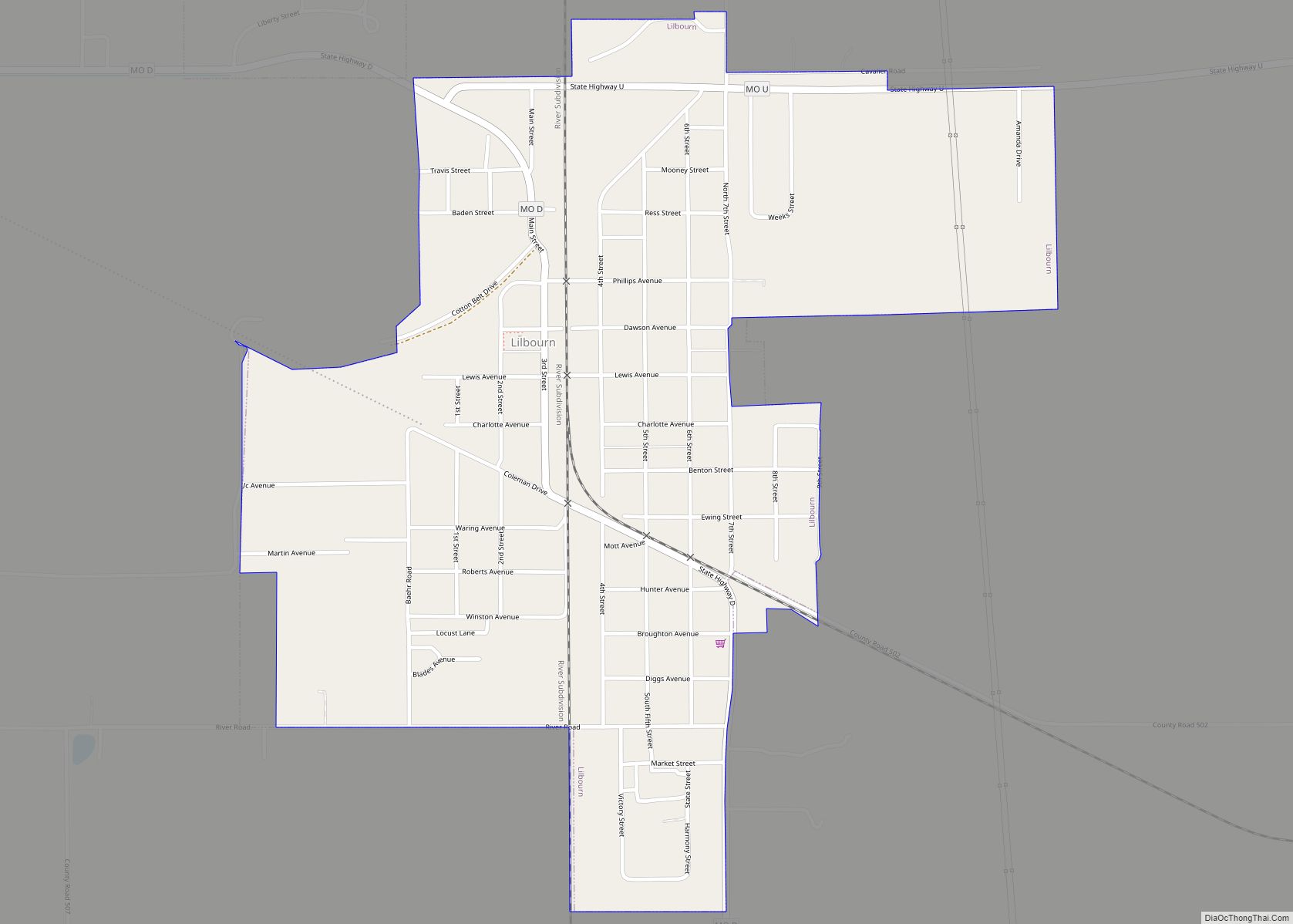
Lilbourn is a city in New Madrid County, Missouri, United States. The population was 1,190 at the 2010 census. Lilbourn city overview: Name: Lilbourn city LSAD Code: 25 LSAD Description: city (suffix) State: Missouri County: New Madrid County Elevation: 285 ft (87 m) Total Area: 0.95 sq mi (2.45 km²) Land Area: 0.95 sq mi (2.45 km²) Water Area: 0.00 sq mi (0.00 km²) Total Population: ... Read more
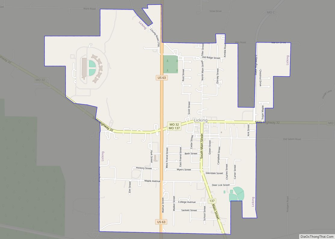
Licking is a city located in Texas County, Missouri, United States. The population was 3,124 at the 2010 census, making it the most populous city in Texas County. Licking city overview: Name: Licking city LSAD Code: 25 LSAD Description: city (suffix) State: Missouri County: Texas County Elevation: 1,257 ft (383 m) Total Area: 2.14 sq mi (5.55 km²) Land Area: ... Read more
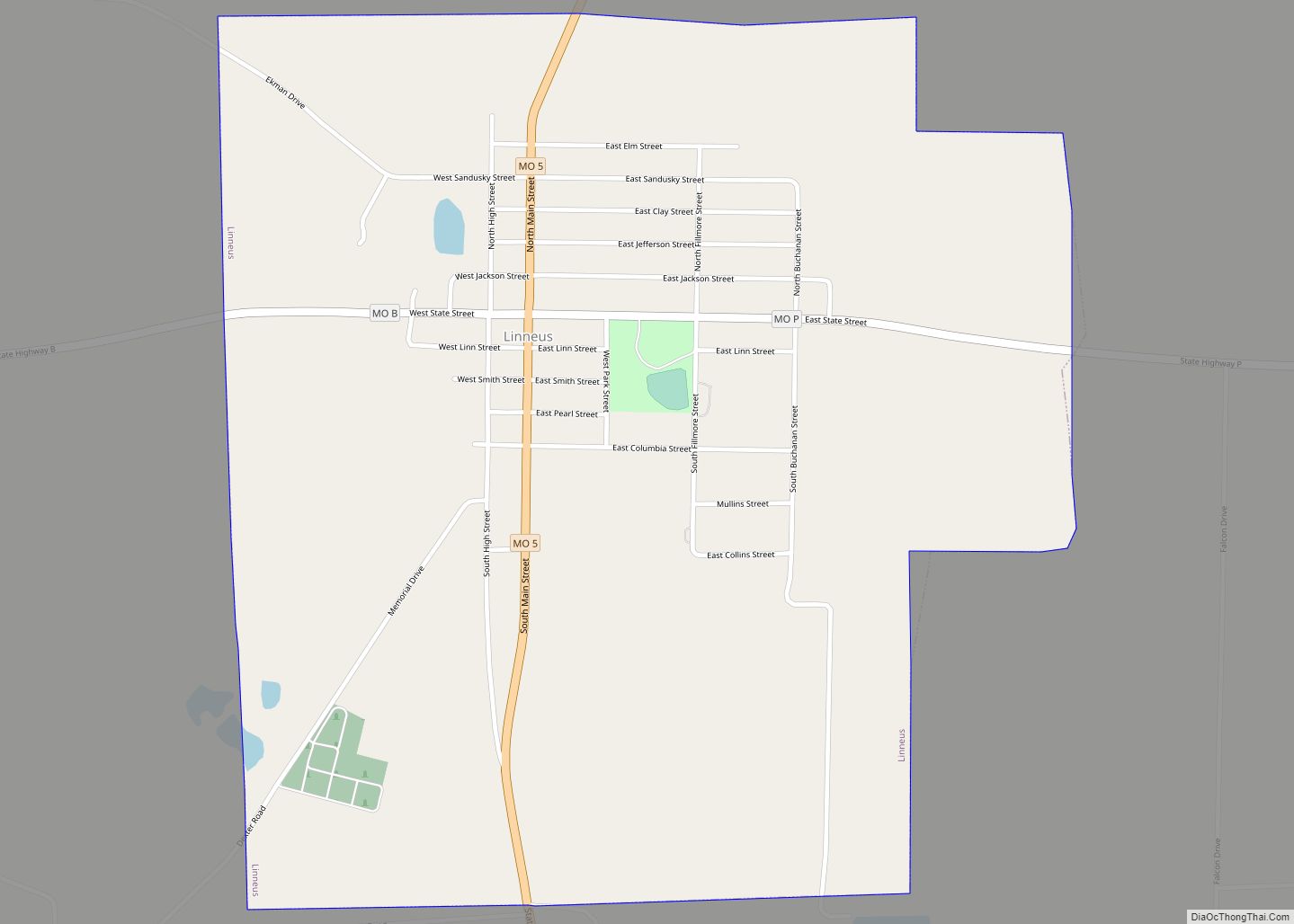
Linneus is a small city in Linn County, Missouri, United States. The population was 281 at the 2020 census. It is the county seat of Linn County. Linneus city overview: Name: Linneus city LSAD Code: 25 LSAD Description: city (suffix) State: Missouri County: Linn County Elevation: 794 ft (242 m) Total Area: 1.07 sq mi (2.78 km²) Land Area: 1.07 sq mi ... Read more
