Liberty is a city in and the county seat of Clay County, Missouri, United States and is a suburb of Kansas City, located in the Kansas City Metropolitan Area. As of the 2020 United States Census the population was 30,167. Liberty is home to William Jewell College.
| Name: | Liberty city |
|---|---|
| LSAD Code: | 25 |
| LSAD Description: | city (suffix) |
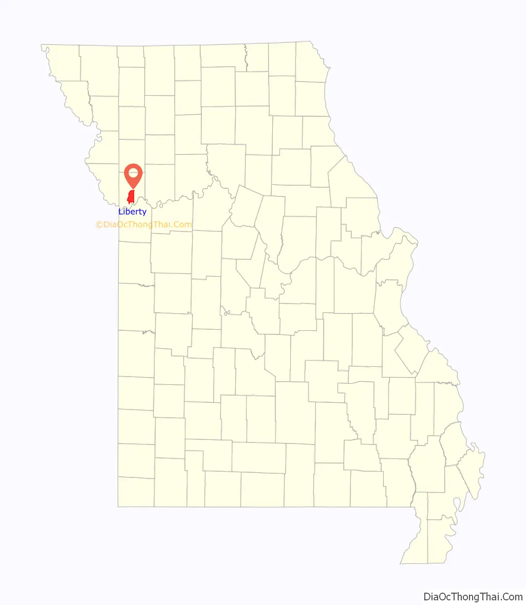
| State: | Missouri |
| County: | Clay County |
| Incorporated: | May 7, 1829 (as a town), 1851 (as a city) |
| Elevation: | 863 ft (263 m) |
| Total Area: | 29.16 sq mi (75.52 km²) |
| Land Area: | 29.03 sq mi (75.19 km²) |
| Water Area: | 0.13 sq mi (0.33 km²) |
| Total Population: | 30,167 |
| Population Density: | 1,039.09/sq mi (401.19/km²) |
| ZIP code: | 64068, 64069 |
| Area code: | 816 |
| FIPS code: | 2942032 |
| GNISfeature ID: | 2395700 |
| Website: | www.libertymissouri.gov |
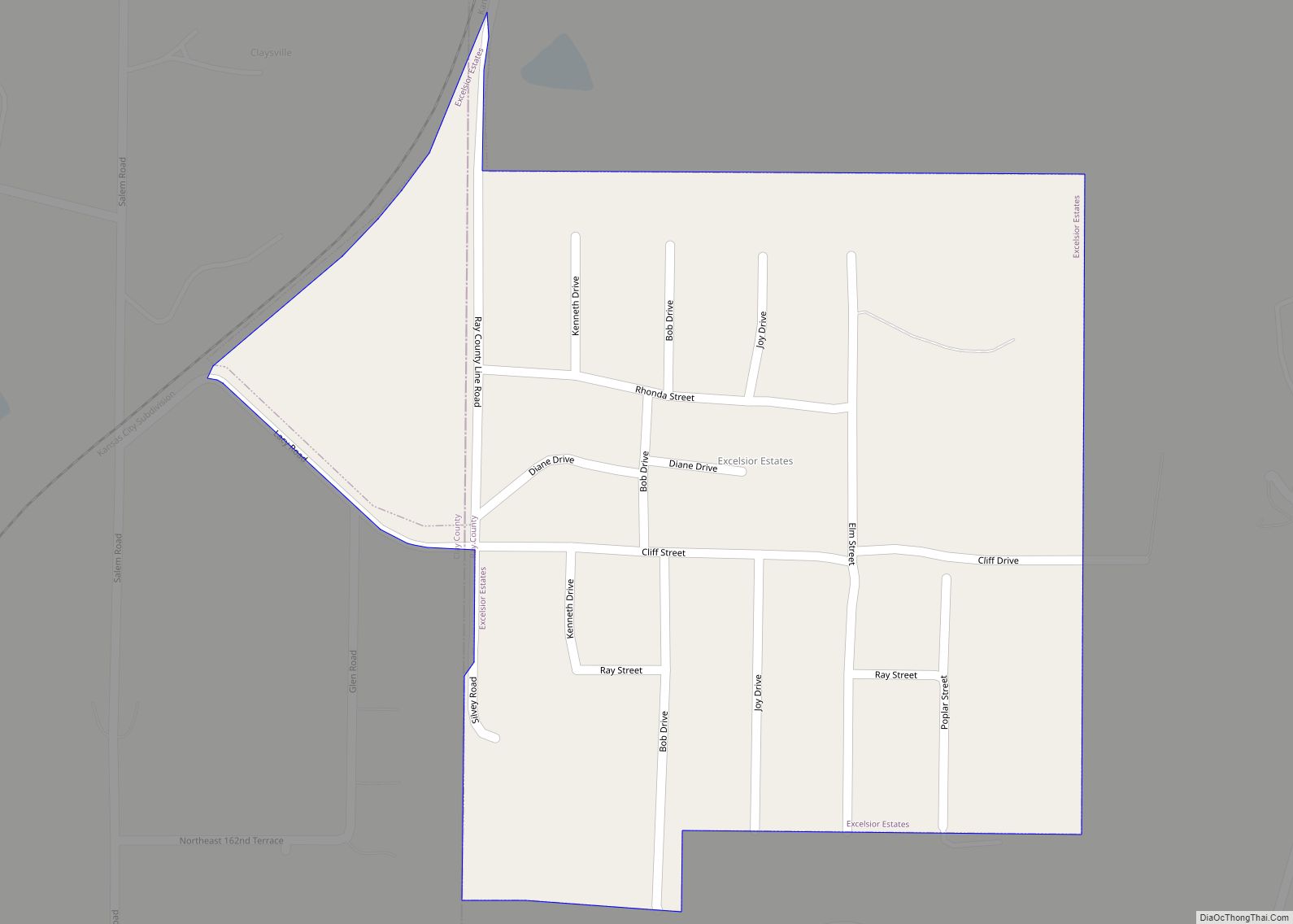
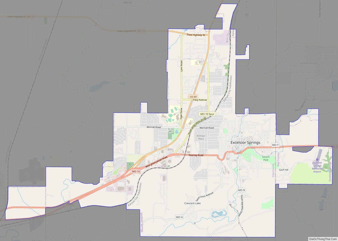
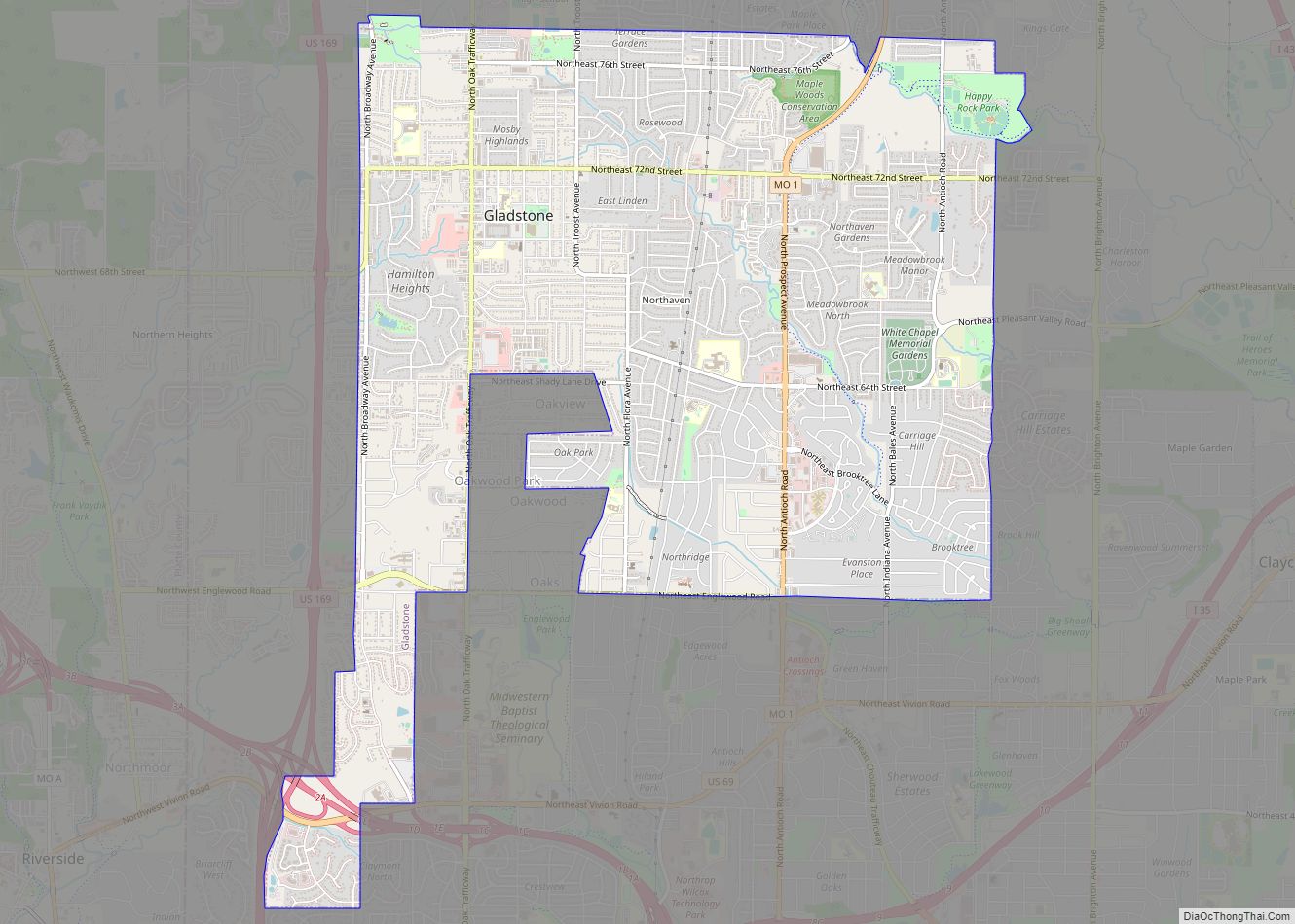
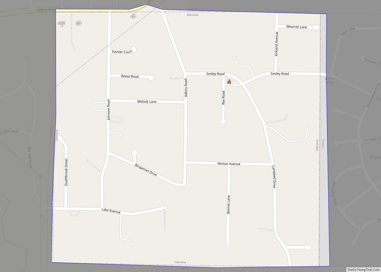
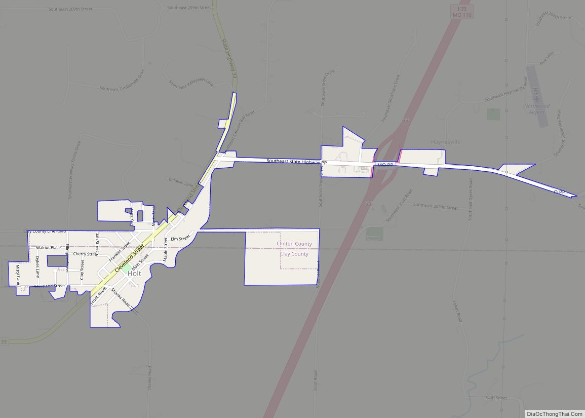
Online Interactive Map
Click on ![]() to view map in "full screen" mode.
to view map in "full screen" mode.
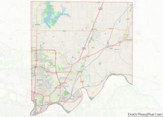
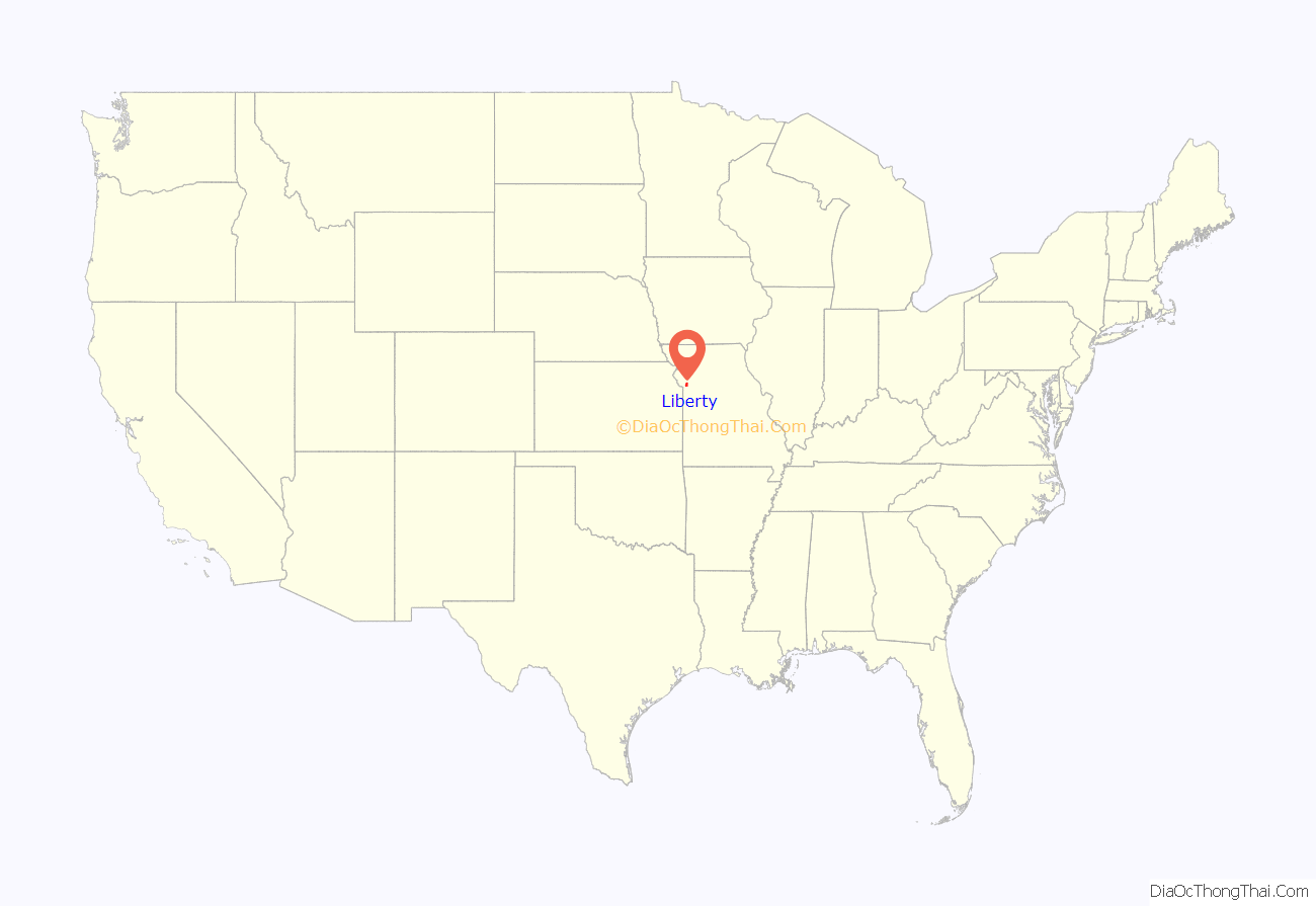
Liberty location map. Where is Liberty city?
History
Liberty was settled in 1822, and shortly later became the county seat of Clay County. The city was named for the American concept of liberty.
In 1830, David Rice Atchison established a law office in Liberty. He was joined three years later by colleague Alexander William Doniphan. The two argued cases defending the rights of Mormon settlers in Jackson County, served Northwest Missouri in Missouri’s General Assembly, and labored for the addition of the Platte Purchase to Missouri’s boundaries.
In October 1838, the two were ordered by Governor Lilburn Boggs to arrest Mormon prophet Joseph Smith Jr. at the Far West settlement in Caldwell County. Immediately after the conclusion of the Mormon War, Smith and other Mormon leaders were incarcerated at the Liberty Jail for the winter as Doniphan labored for a quicker trial date. Although Doniphan led a force of Missouri volunteers ordered to capture the leaders, he defended Joseph Smith in trial and won him a change in venue. While en route to their new venue, Smith and his followers escaped and left Missouri for the new Mormon settlement in Nauvoo, Illinois.
The Arthur-Leonard Historic District, Clay County Savings Association Building, Clinton House, Dougherty-Prospect Heights Historic District, Garrison School Historic District, Frank Hughes Memorial Library, IOOF Liberty Lodge No. 49, Jewell Hall, Jewell-Lightburne Historic District, Major Hotel, Miller Building, Mt. Memorial Cemetery, Nebo Hill Archeological Site, Odd Fellows Home District, South Liberty Courthouse Square Historic District, and West Liberty Courthouse Square Historic District are listed on the National Register of Historic Places.
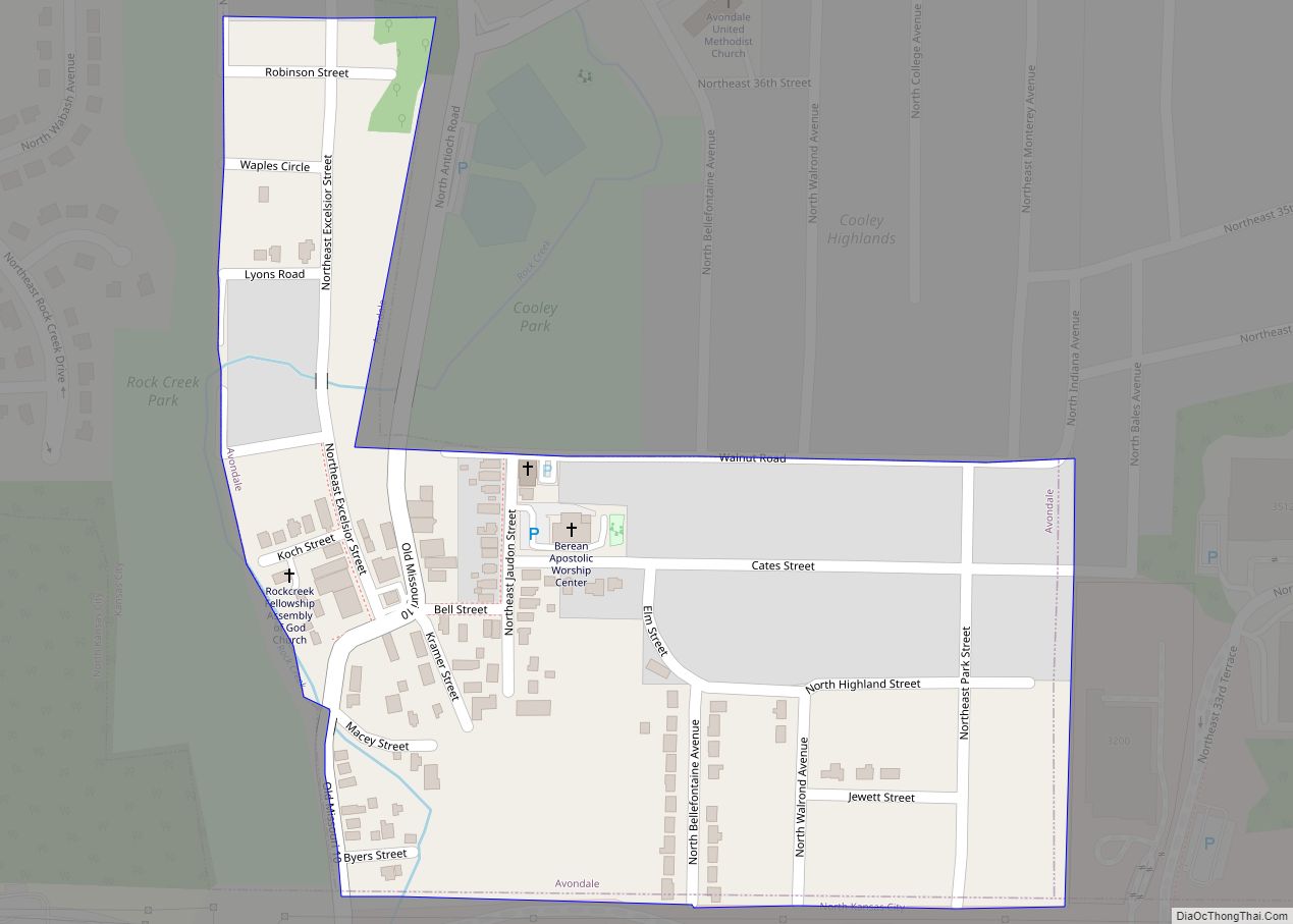
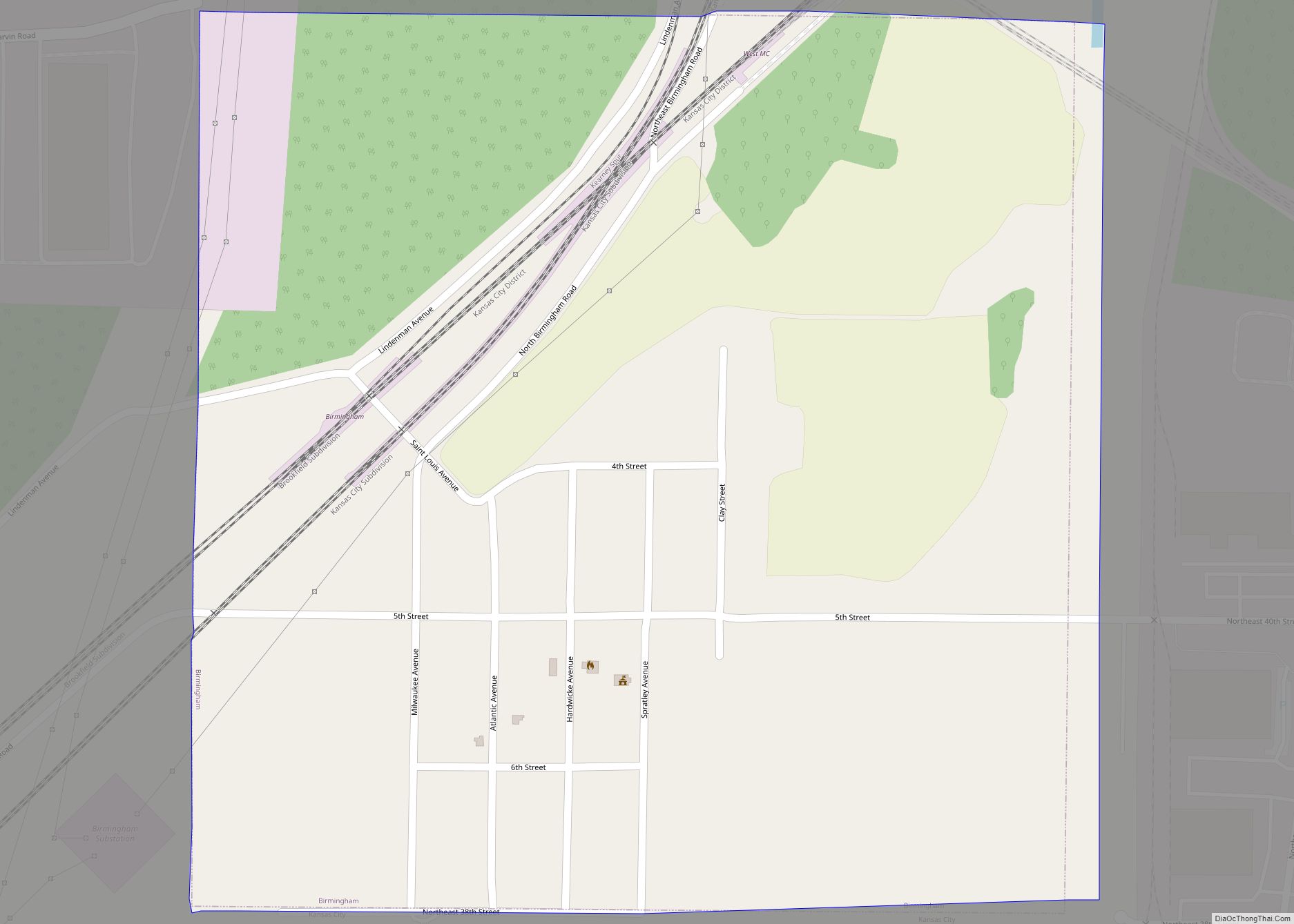
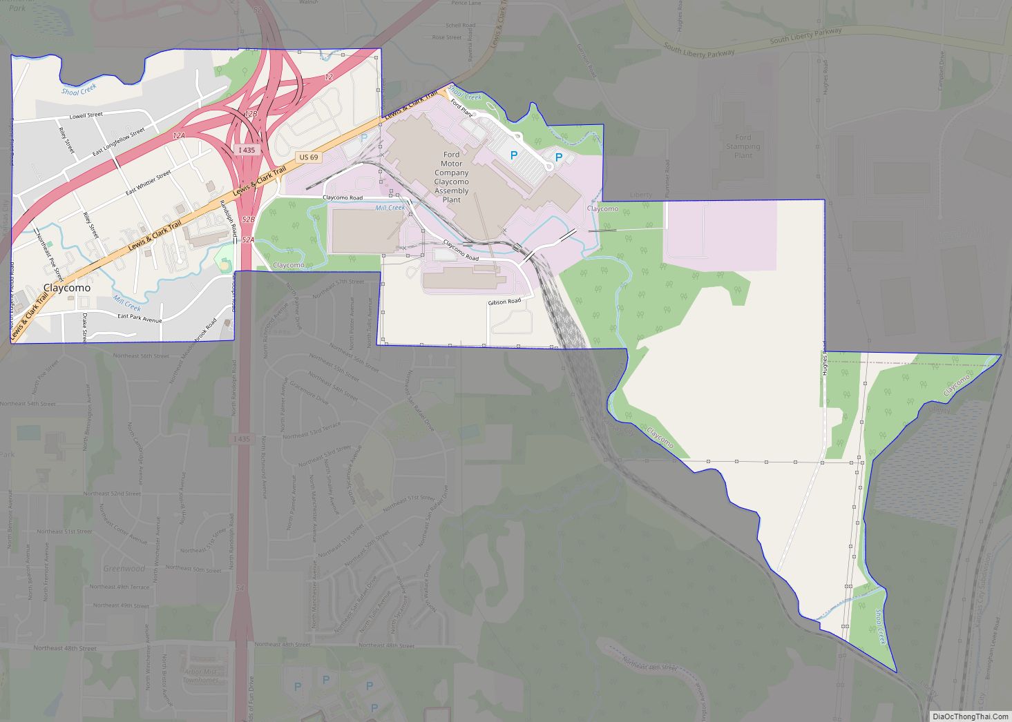
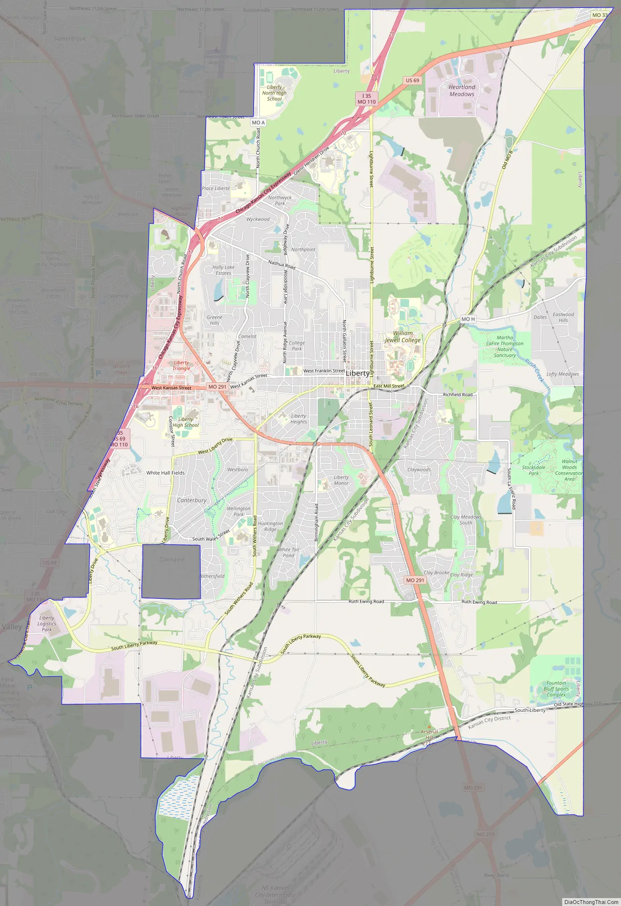
Liberty Road Map
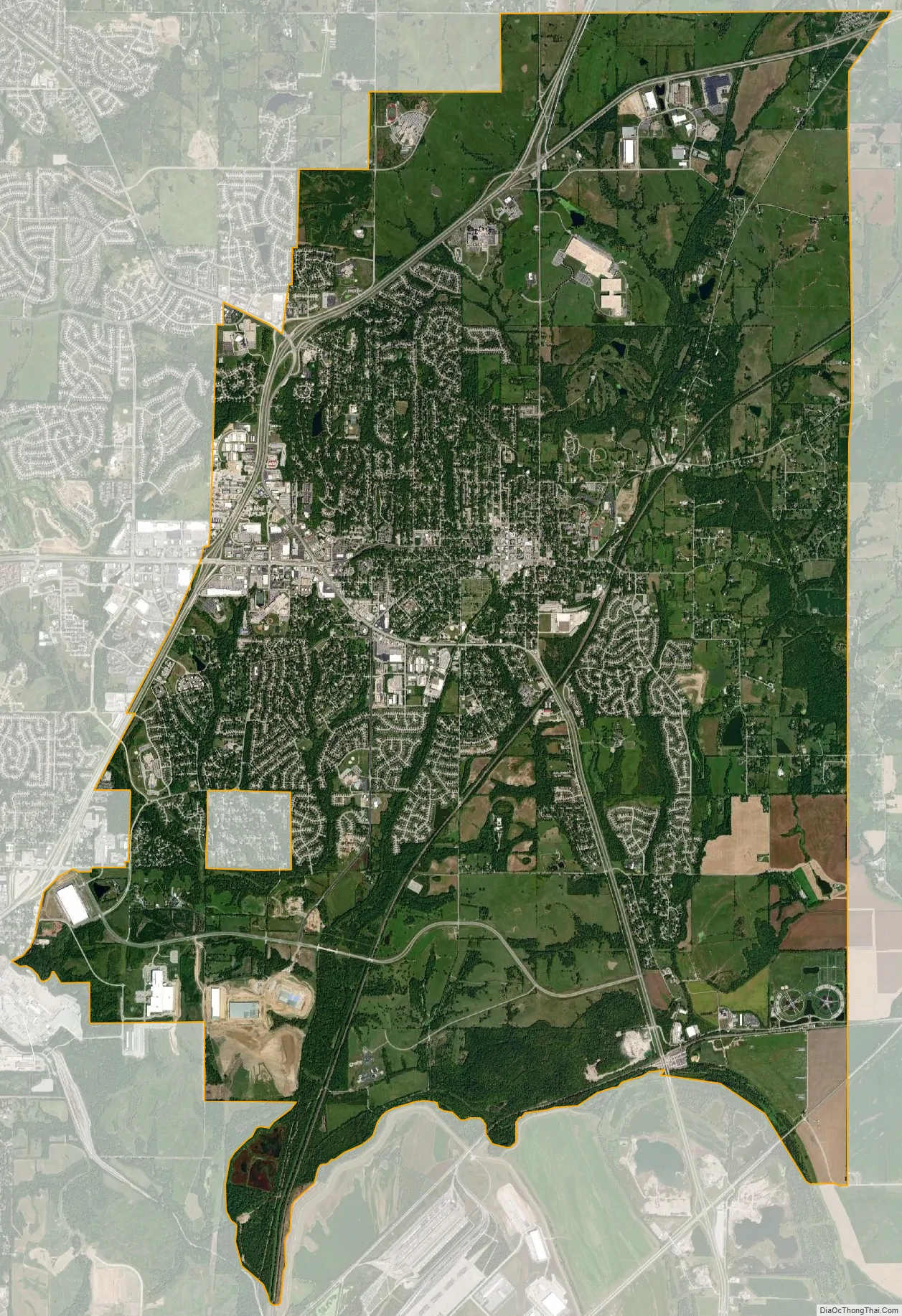
Liberty city Satellite Map
Geography
Liberty is located approximately six miles north of the Missouri River along I-35 and Missouri Route 291.
According to the United States Census Bureau, the city has a total area of 29.15 square miles (75.50 km), of which 29.03 square miles (75.19 km) is land and 0.12 square miles (0.31 km) is water.
See also
Map of Missouri State and its subdivision:- Adair
- Andrew
- Atchison
- Audrain
- Barry
- Barton
- Bates
- Benton
- Bollinger
- Boone
- Buchanan
- Butler
- Caldwell
- Callaway
- Camden
- Cape Girardeau
- Carroll
- Carter
- Cass
- Cedar
- Chariton
- Christian
- Clark
- Clay
- Clinton
- Cole
- Cooper
- Crawford
- Dade
- Dallas
- Daviess
- De Kalb
- Dent
- Douglas
- Dunklin
- Franklin
- Gasconade
- Gentry
- Greene
- Grundy
- Harrison
- Henry
- Hickory
- Holt
- Howard
- Howell
- Iron
- Jackson
- Jasper
- Jefferson
- Johnson
- Knox
- Laclede
- Lafayette
- Lawrence
- Lewis
- Lincoln
- Linn
- Livingston
- Macon
- Madison
- Maries
- Marion
- McDonald
- Mercer
- Miller
- Mississippi
- Moniteau
- Monroe
- Montgomery
- Morgan
- New Madrid
- Newton
- Nodaway
- Oregon
- Osage
- Ozark
- Pemiscot
- Perry
- Pettis
- Phelps
- Pike
- Platte
- Polk
- Pulaski
- Putnam
- Ralls
- Randolph
- Ray
- Reynolds
- Ripley
- Saint Charles
- Saint Clair
- Saint Francois
- Saint Louis
- Sainte Genevieve
- Saline
- Schuyler
- Scotland
- Scott
- Shannon
- Shelby
- Stoddard
- Stone
- Sullivan
- Taney
- Texas
- Vernon
- Warren
- Washington
- Wayne
- Webster
- Worth
- Wright
- Alabama
- Alaska
- Arizona
- Arkansas
- California
- Colorado
- Connecticut
- Delaware
- District of Columbia
- Florida
- Georgia
- Hawaii
- Idaho
- Illinois
- Indiana
- Iowa
- Kansas
- Kentucky
- Louisiana
- Maine
- Maryland
- Massachusetts
- Michigan
- Minnesota
- Mississippi
- Missouri
- Montana
- Nebraska
- Nevada
- New Hampshire
- New Jersey
- New Mexico
- New York
- North Carolina
- North Dakota
- Ohio
- Oklahoma
- Oregon
- Pennsylvania
- Rhode Island
- South Carolina
- South Dakota
- Tennessee
- Texas
- Utah
- Vermont
- Virginia
- Washington
- West Virginia
- Wisconsin
- Wyoming