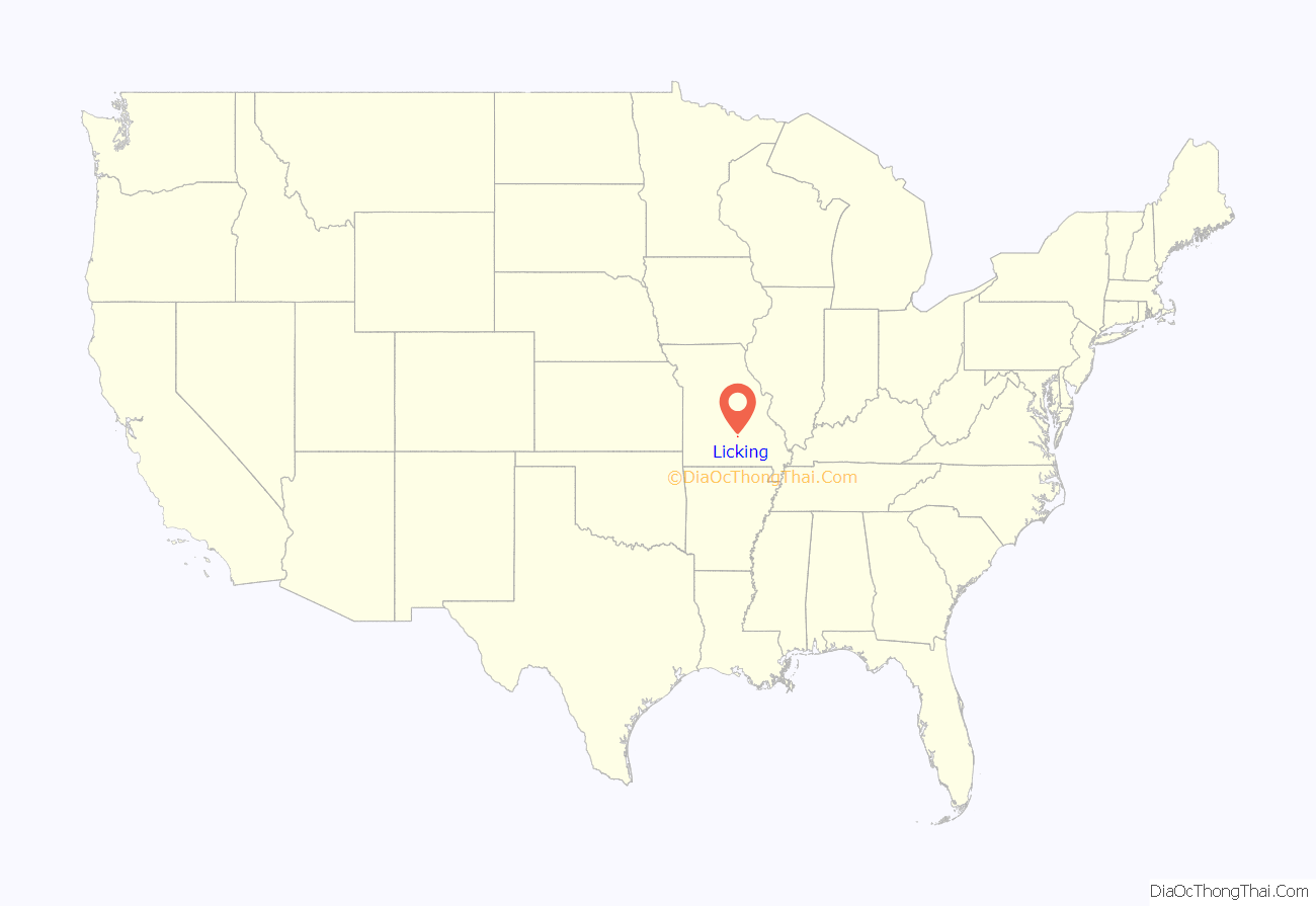
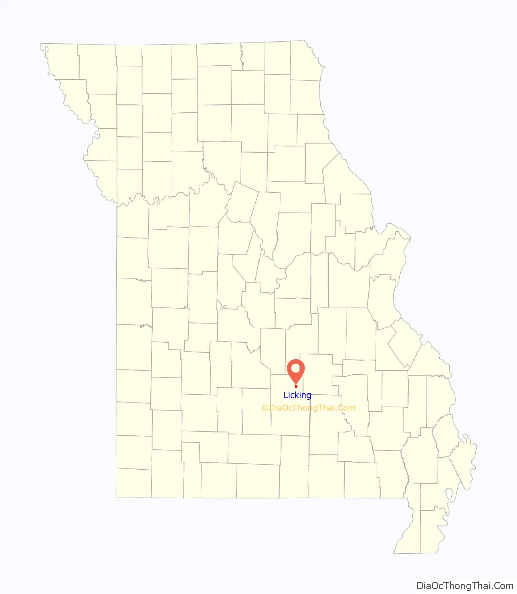
Licking is a city located in Texas County, Missouri, United States. The population was 3,124 at the 2010 census, making it the most populous city in Texas County.
| Name: | Licking city |
|---|---|
| LSAD Code: | 25 |
| LSAD Description: | city (suffix) |
| State: | Missouri |
| County: | Texas County |
| Elevation: | 1,257 ft (383 m) |
| Total Area: | 2.14 sq mi (5.55 km²) |
| Land Area: | 2.13 sq mi (5.52 km²) |
| Water Area: | 0.01 sq mi (0.03 km²) |
| Total Population: | 2,851 |
| Population Density: | 1,337.87/sq mi (516.59/km²) |
| ZIP code: | 65542 |
| Area code: | 573 |
| FIPS code: | 2942464 |
| GNISfeature ID: | 2395703 |
| Website: | http://www.lickingmo.org/ |
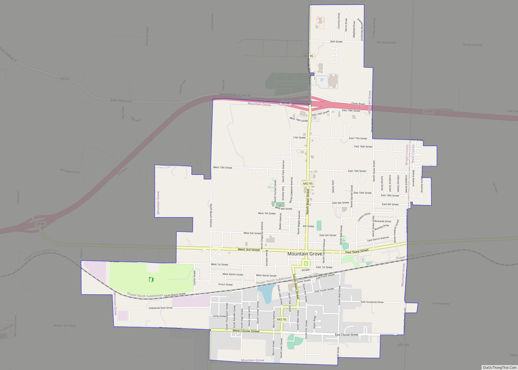
Online Interactive Map
Click on ![]() to view map in "full screen" mode.
to view map in "full screen" mode.
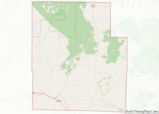
Licking location map. Where is Licking city?
History
The community was named for a mineral lick near the original town site. An early variant name was “Buffalo Lick”. Licking experienced growth after the South Central Correctional Center opened in June 2000, which doubled the population from the 2000 Census to the 2010 Census. Also, a small Amish community moved from Berne, Indiana to Licking starting in 2009.
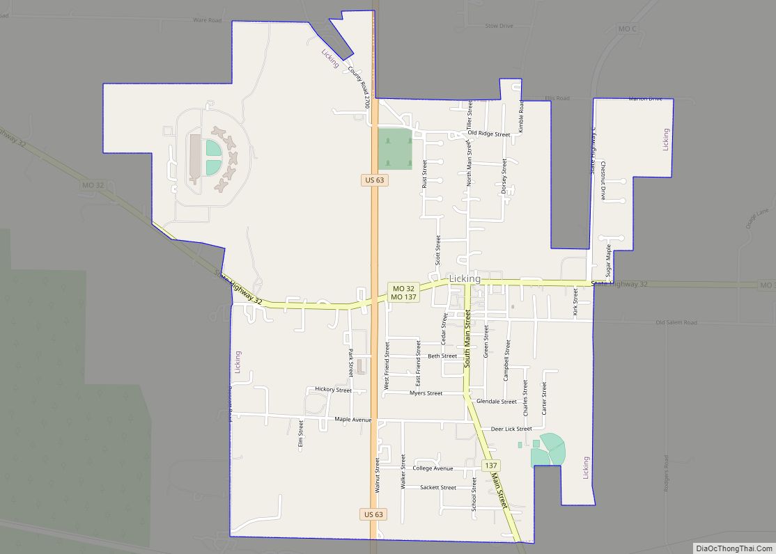
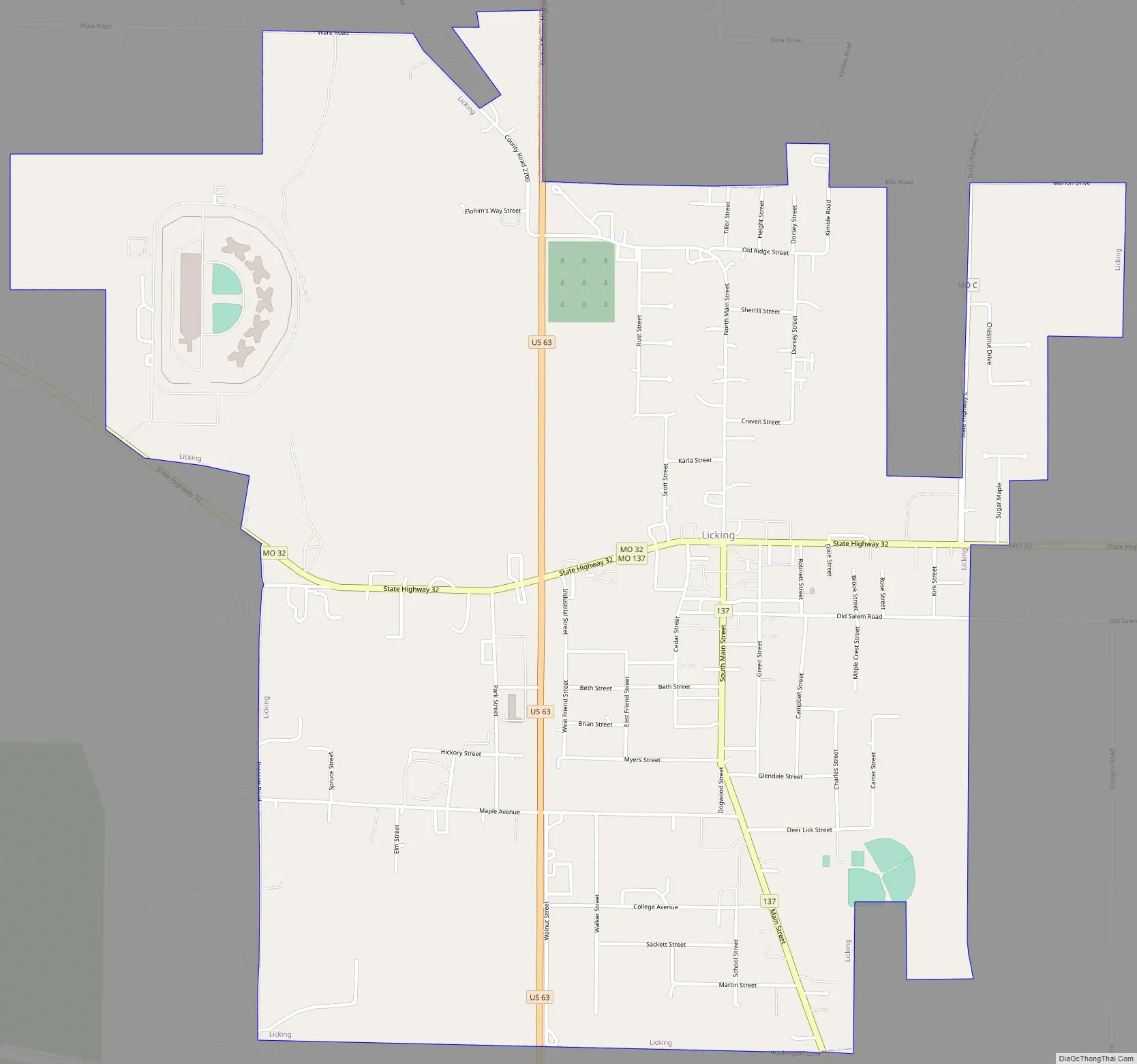
Licking Road Map
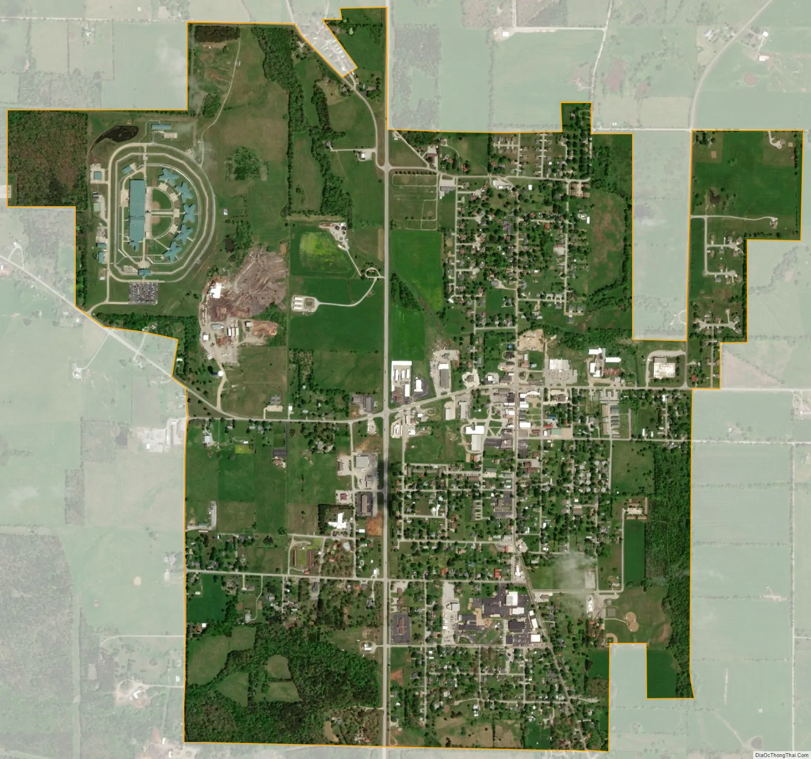
Licking city Satellite Map
Geography
Licking is located in north central Texas County in the Ozarks of southern Missouri. The city is located at the intersection of U.S. Route 63 and Missouri Route 32.
According to the United States Census Bureau, the city has a total area of 2.14 square miles (5.54 km), of which 2.13 square miles (5.52 km) is land and 0.01 square miles (0.03 km) is water.
Climate
See also
Map of Missouri State and its subdivision:- Adair
- Andrew
- Atchison
- Audrain
- Barry
- Barton
- Bates
- Benton
- Bollinger
- Boone
- Buchanan
- Butler
- Caldwell
- Callaway
- Camden
- Cape Girardeau
- Carroll
- Carter
- Cass
- Cedar
- Chariton
- Christian
- Clark
- Clay
- Clinton
- Cole
- Cooper
- Crawford
- Dade
- Dallas
- Daviess
- De Kalb
- Dent
- Douglas
- Dunklin
- Franklin
- Gasconade
- Gentry
- Greene
- Grundy
- Harrison
- Henry
- Hickory
- Holt
- Howard
- Howell
- Iron
- Jackson
- Jasper
- Jefferson
- Johnson
- Knox
- Laclede
- Lafayette
- Lawrence
- Lewis
- Lincoln
- Linn
- Livingston
- Macon
- Madison
- Maries
- Marion
- McDonald
- Mercer
- Miller
- Mississippi
- Moniteau
- Monroe
- Montgomery
- Morgan
- New Madrid
- Newton
- Nodaway
- Oregon
- Osage
- Ozark
- Pemiscot
- Perry
- Pettis
- Phelps
- Pike
- Platte
- Polk
- Pulaski
- Putnam
- Ralls
- Randolph
- Ray
- Reynolds
- Ripley
- Saint Charles
- Saint Clair
- Saint Francois
- Saint Louis
- Sainte Genevieve
- Saline
- Schuyler
- Scotland
- Scott
- Shannon
- Shelby
- Stoddard
- Stone
- Sullivan
- Taney
- Texas
- Vernon
- Warren
- Washington
- Wayne
- Webster
- Worth
- Wright
- Alabama
- Alaska
- Arizona
- Arkansas
- California
- Colorado
- Connecticut
- Delaware
- District of Columbia
- Florida
- Georgia
- Hawaii
- Idaho
- Illinois
- Indiana
- Iowa
- Kansas
- Kentucky
- Louisiana
- Maine
- Maryland
- Massachusetts
- Michigan
- Minnesota
- Mississippi
- Missouri
- Montana
- Nebraska
- Nevada
- New Hampshire
- New Jersey
- New Mexico
- New York
- North Carolina
- North Dakota
- Ohio
- Oklahoma
- Oregon
- Pennsylvania
- Rhode Island
- South Carolina
- South Dakota
- Tennessee
- Texas
- Utah
- Vermont
- Virginia
- Washington
- West Virginia
- Wisconsin
- Wyoming