Liberal is a city in Barton County, Missouri, United States. The population was 629 at the 2020 census.
Liberal was founded as an atheist utopia in 1880 by lawyer George Walser, who named it after the Liberal League in nearby Lamar. The city had restrictions on both religious buildings and saloons, instead offering intellectual pursuits. A contingent of Christian residents moved to the town and began holding religious services against Walser’s wishes, and eventually took hold of the settlement.
| Name: | Liberal city |
|---|---|
| LSAD Code: | 25 |
| LSAD Description: | city (suffix) |
| State: | Missouri |
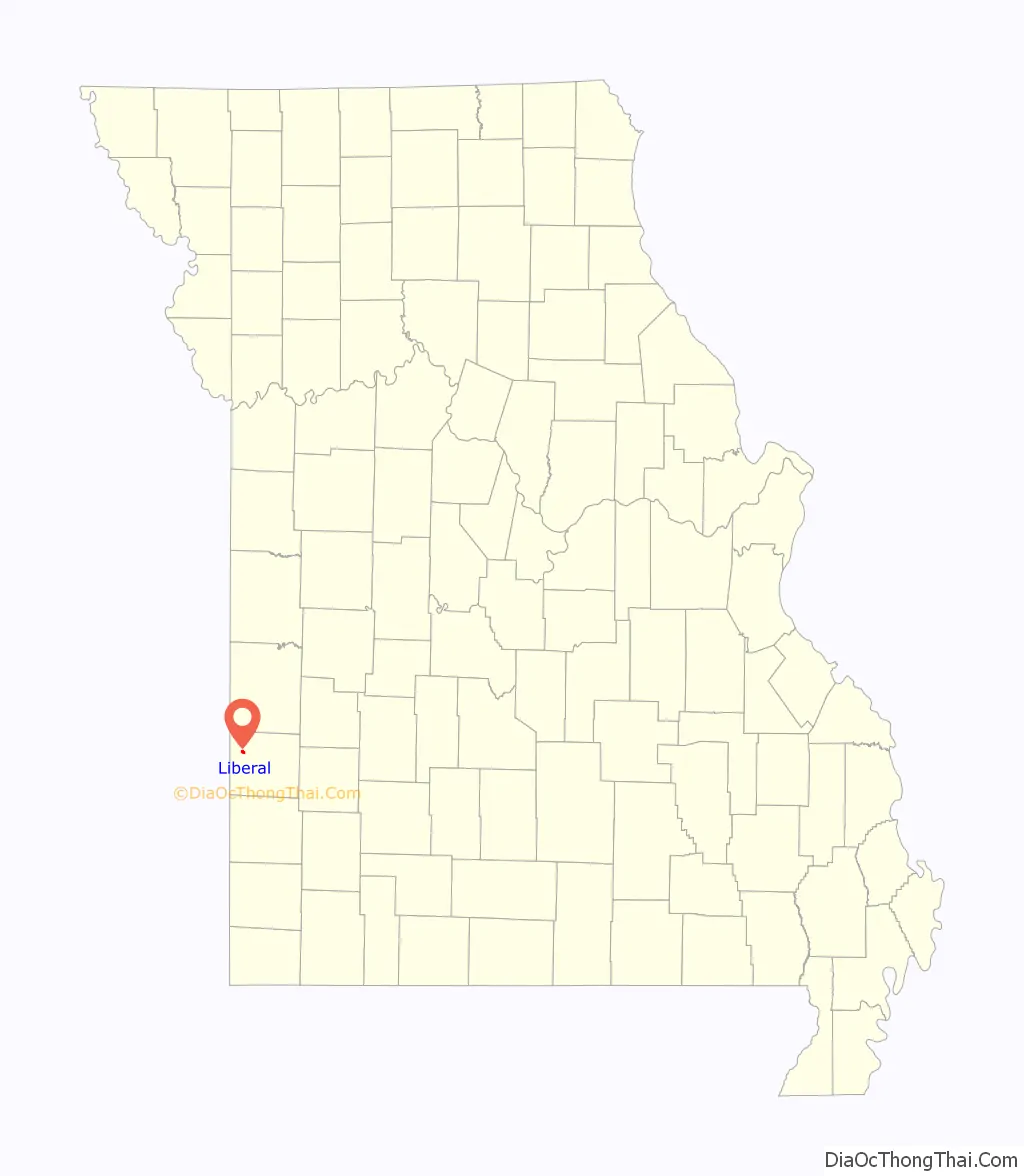
| County: | Barton County |
| Elevation: | 886 ft (270 m) |
| Total Area: | 0.85 sq mi (2.20 km²) |
| Land Area: | 0.84 sq mi (2.18 km²) |
| Water Area: | 0.01 sq mi (0.02 km²) |
| Total Population: | 629 |
| Population Density: | 745.26/sq mi (287.90/km²) |
| ZIP code: | 64762 |
| Area code: | 417 |
| FIPS code: | 2941906 |
| GNISfeature ID: | 2395699 |
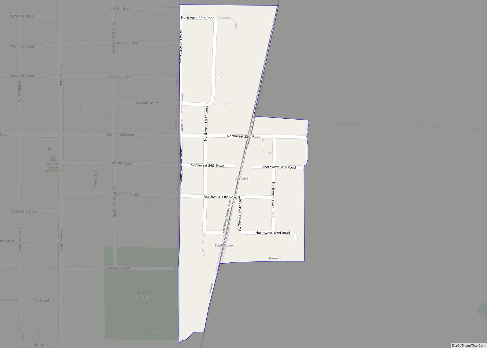
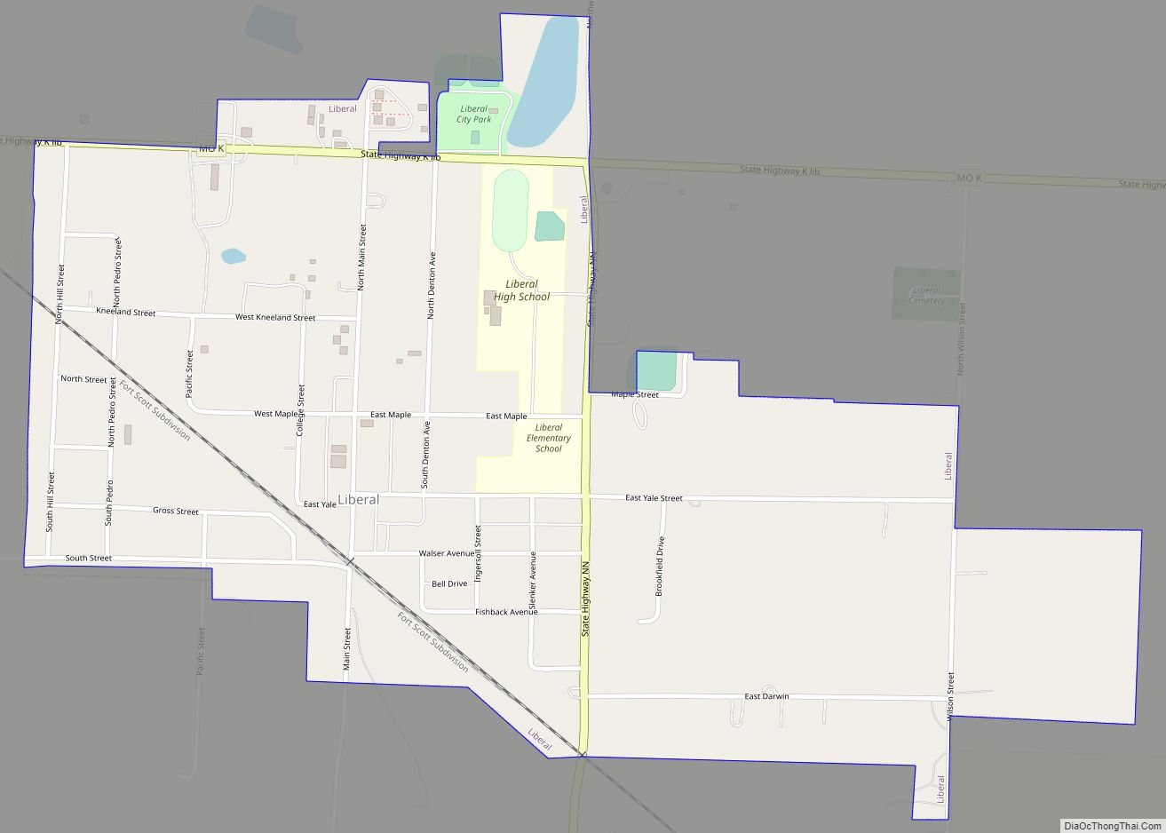
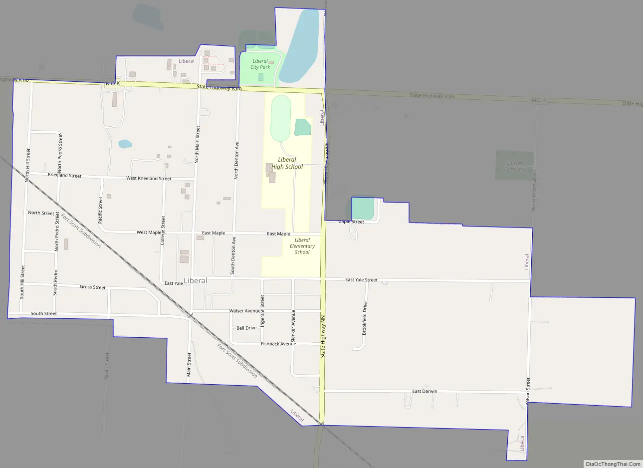
Online Interactive Map
Click on ![]() to view map in "full screen" mode.
to view map in "full screen" mode.
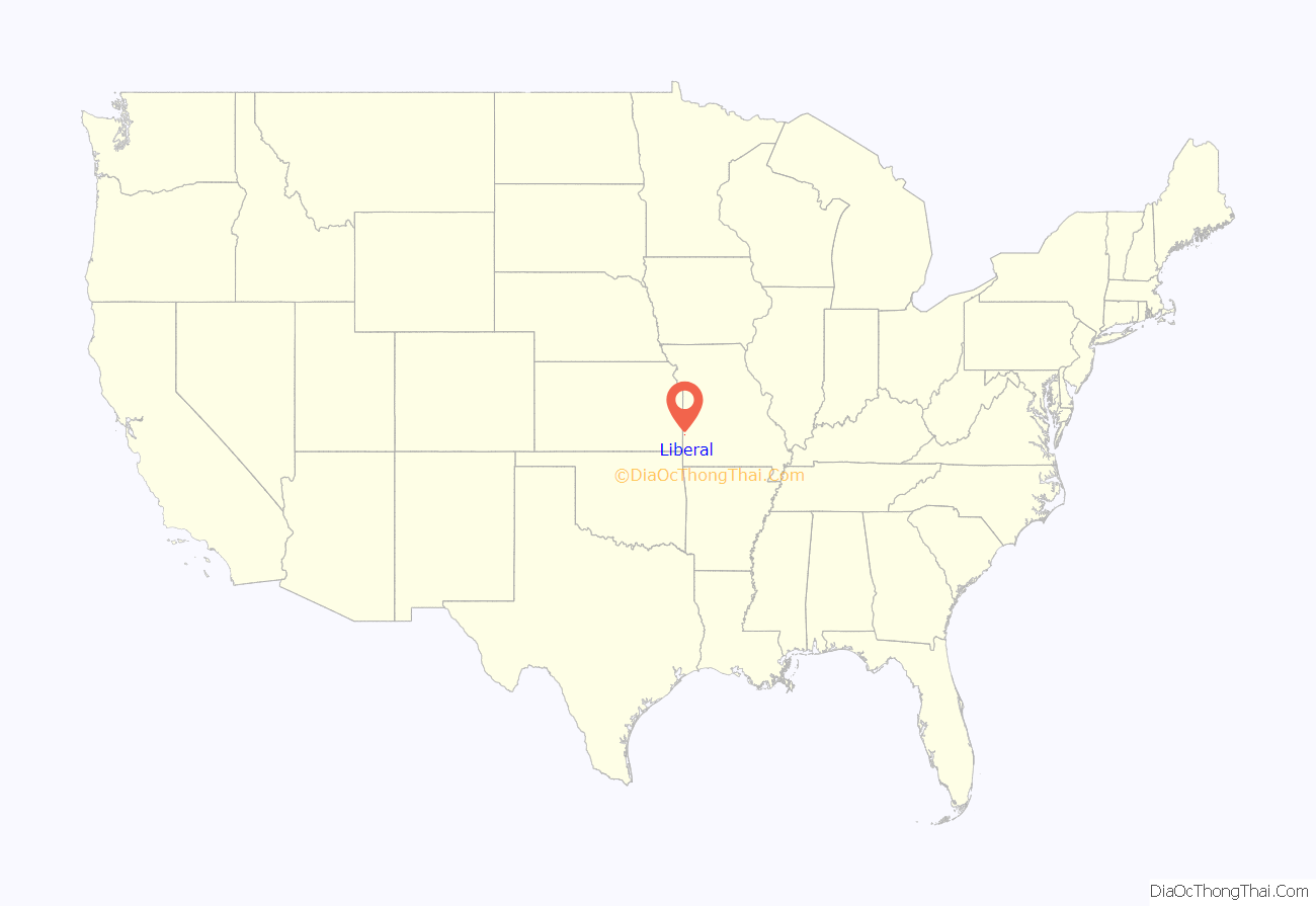
Liberal location map. Where is Liberal city?
History
Liberal was founded in 1880 by George Walser, an anti-religionist, agnostic lawyer and former state legislator who wished to create an atheist, “freethinker” utopia. It was named after the Liberal League in Lamar, Missouri, which Walser was a member of at the time. Walser purchased 2,000 acres (8 km) of land and advertised across the country for atheists to join his town, which would “have neither God, Hell, Church, nor Saloon”.
Walser organized a reformed school system that sought to promote liberal education free from the bias of Christian theology, and had instructional classes on Sundays to replace religious services. The Free Thought University was founded in 1886 with a staff of seven teachers providing regular lectures and hosting intellectual debates. The arrival of the railroad triggered a population boom, bringing the town to 546 residents by 1890.
Christian practitioners began arriving in Liberal soon after it was founded, but were initially met with resistance by Walser. They quietly bought homes within the town and began holding religious services, which were interrupted by Walser, and the Christian group later moved to nearby plots of land after being evicted. A new town, named Pedro, was established in 1884 by the Christians after Walser erected a barbed wire fence around Liberal. Walser eventually relaxed restrictions on saloons in 1887 and churches in 1889.
The local population peaked in the 1910s and declined for much of the 20th century. A major drought in 1980 triggered an exodus of businesses and residents. Today, Liberal is part of a solidly conservative electorate that encompasses all of Barton County.
Liberal Road Map
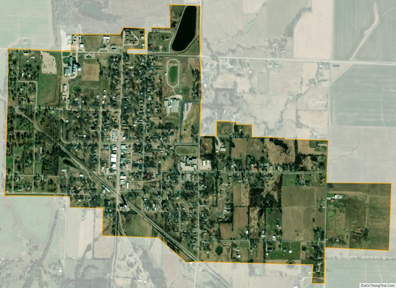
Liberal city Satellite Map
Geography
According to the United States Census Bureau, the city has a total area of 0.84 square miles (2.18 km), of which 0.83 square miles (2.15 km) is land and 0.01 square miles (0.03 km) is water.
See also
Map of Missouri State and its subdivision:- Adair
- Andrew
- Atchison
- Audrain
- Barry
- Barton
- Bates
- Benton
- Bollinger
- Boone
- Buchanan
- Butler
- Caldwell
- Callaway
- Camden
- Cape Girardeau
- Carroll
- Carter
- Cass
- Cedar
- Chariton
- Christian
- Clark
- Clay
- Clinton
- Cole
- Cooper
- Crawford
- Dade
- Dallas
- Daviess
- De Kalb
- Dent
- Douglas
- Dunklin
- Franklin
- Gasconade
- Gentry
- Greene
- Grundy
- Harrison
- Henry
- Hickory
- Holt
- Howard
- Howell
- Iron
- Jackson
- Jasper
- Jefferson
- Johnson
- Knox
- Laclede
- Lafayette
- Lawrence
- Lewis
- Lincoln
- Linn
- Livingston
- Macon
- Madison
- Maries
- Marion
- McDonald
- Mercer
- Miller
- Mississippi
- Moniteau
- Monroe
- Montgomery
- Morgan
- New Madrid
- Newton
- Nodaway
- Oregon
- Osage
- Ozark
- Pemiscot
- Perry
- Pettis
- Phelps
- Pike
- Platte
- Polk
- Pulaski
- Putnam
- Ralls
- Randolph
- Ray
- Reynolds
- Ripley
- Saint Charles
- Saint Clair
- Saint Francois
- Saint Louis
- Sainte Genevieve
- Saline
- Schuyler
- Scotland
- Scott
- Shannon
- Shelby
- Stoddard
- Stone
- Sullivan
- Taney
- Texas
- Vernon
- Warren
- Washington
- Wayne
- Webster
- Worth
- Wright
- Alabama
- Alaska
- Arizona
- Arkansas
- California
- Colorado
- Connecticut
- Delaware
- District of Columbia
- Florida
- Georgia
- Hawaii
- Idaho
- Illinois
- Indiana
- Iowa
- Kansas
- Kentucky
- Louisiana
- Maine
- Maryland
- Massachusetts
- Michigan
- Minnesota
- Mississippi
- Missouri
- Montana
- Nebraska
- Nevada
- New Hampshire
- New Jersey
- New Mexico
- New York
- North Carolina
- North Dakota
- Ohio
- Oklahoma
- Oregon
- Pennsylvania
- Rhode Island
- South Carolina
- South Dakota
- Tennessee
- Texas
- Utah
- Vermont
- Virginia
- Washington
- West Virginia
- Wisconsin
- Wyoming