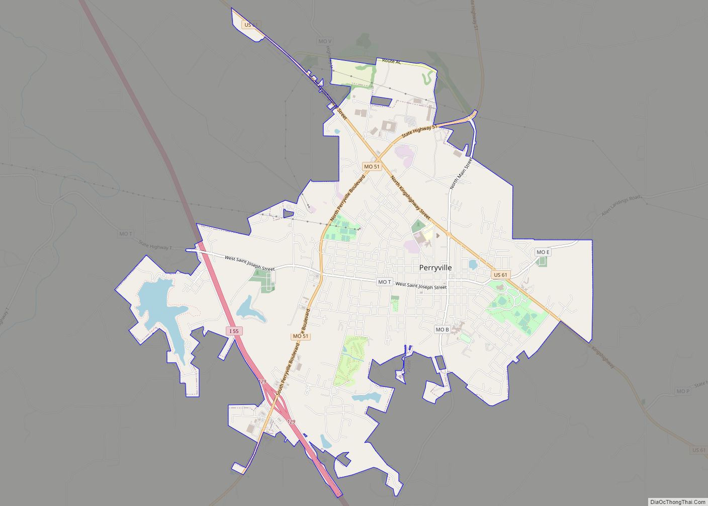
Perryville is a city in Perry County, Missouri, United States. The population was 8,555 at the 2020 United States census. Perryville is the county seat of Perry County. Perryville city overview: Name: Perryville city LSAD Code: 25 LSAD Description: city (suffix) State: Missouri County: Perry County Incorporated: 1856 Elevation: 577 ft (176 m) Total Area: 8.32 sq mi (21.56 km²) ... Read more
Missouri Cities and Places
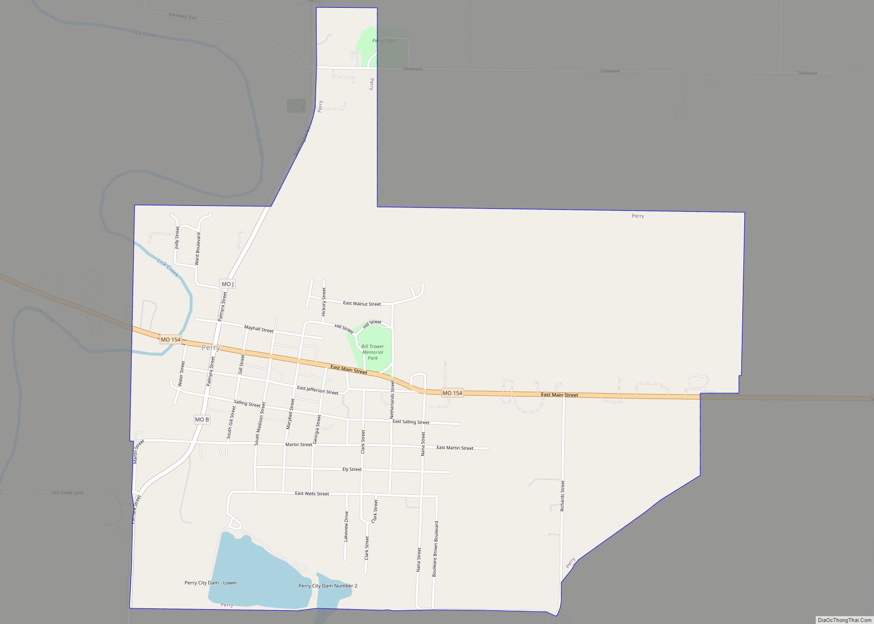
Perry is a city in southwest Ralls County, Missouri, United States. The population was 665 at the 2020 census. It is part of the Hannibal Micropolitan Statistical Area. Perry city overview: Name: Perry city LSAD Code: 25 LSAD Description: city (suffix) State: Missouri County: Ralls County Elevation: 728 ft (222 m) Total Area: 1.43 sq mi (3.70 km²) Land Area: ... Read more
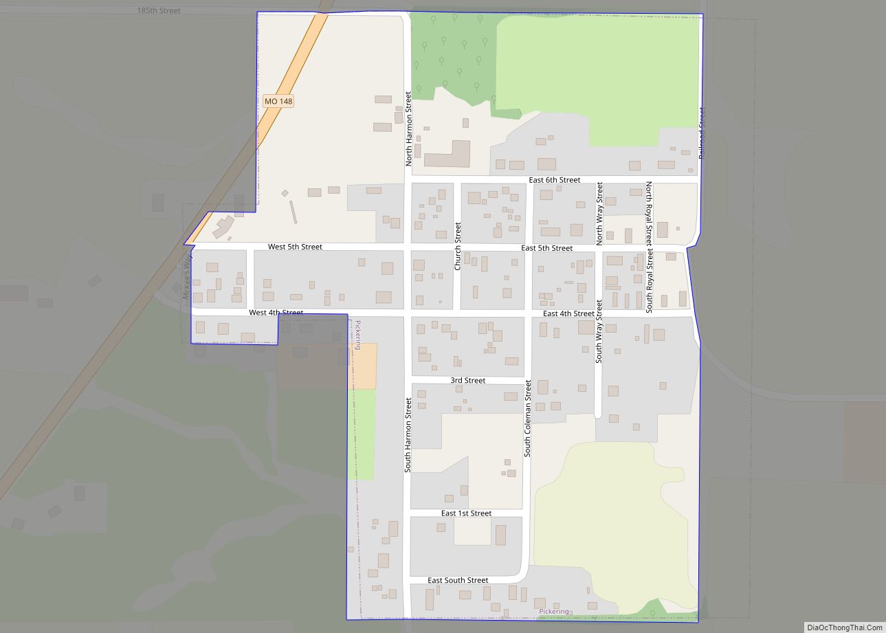
Pickering is a city in Nodaway County, Missouri, United States. The population was 160 at the 2010 census. Pickering town overview: Name: Pickering town LSAD Code: 43 LSAD Description: town (suffix) State: Missouri County: Nodaway County Elevation: 1,040 ft (320 m) Total Area: 0.17 sq mi (0.44 km²) Land Area: 0.17 sq mi (0.44 km²) Water Area: 0.00 sq mi (0.00 km²) Total Population: 149 Population ... Read more
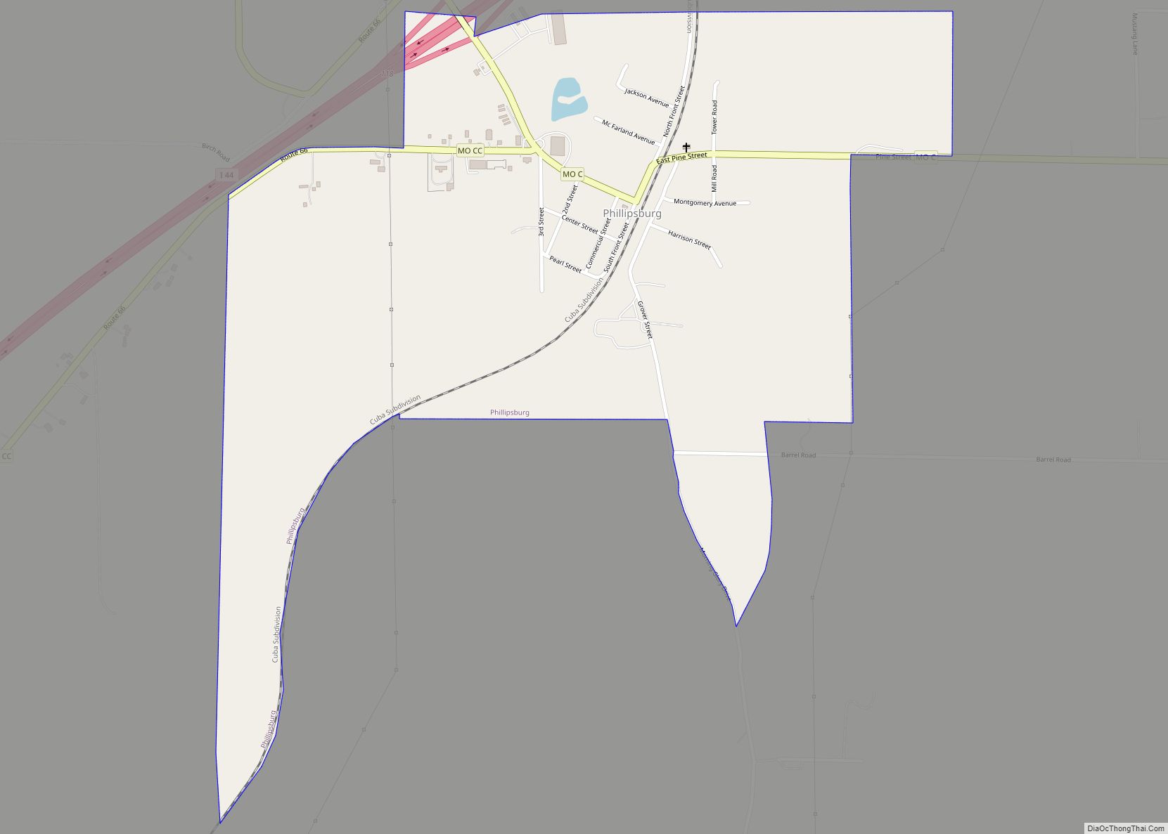
Phillipsburg is a village in Laclede County, Missouri, United States. The population was 202 at the 2010 census. Phillipsburg village overview: Name: Phillipsburg village LSAD Code: 47 LSAD Description: village (suffix) State: Missouri County: Laclede County Elevation: 1,408 ft (429 m) Total Area: 0.80 sq mi (2.07 km²) Land Area: 0.80 sq mi (2.07 km²) Water Area: 0.00 sq mi (0.00 km²) Total Population: 164 Population ... Read more
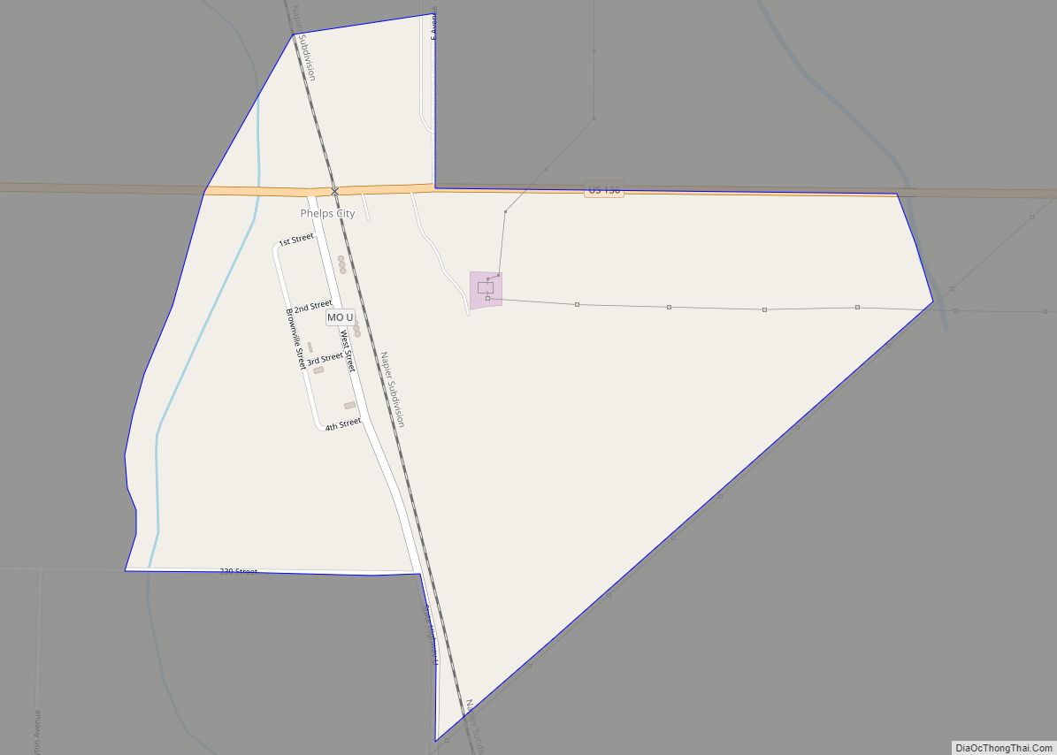
Phelps City is a census-designated place and unincorporated community in Atchison County, Missouri, United States. As of the 2020 census, its population was zero. The community is 5 miles (8.0 km) west of Rock Port. It is the closest Missouri community to Brownville Bridge, a Missouri River crossing that is listed on the National Register of ... Read more
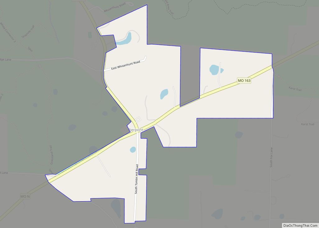
Pierpont is a village in Boone County, Missouri, United States. It is part of the Columbia, Missouri Metropolitan Statistical Area. The population was 64 at the 2020 census. The village, located south of Rock Bridge Memorial State Park at Route N and Highway 163, was incorporated in 2004 to avoid annexation by the city of ... Read more
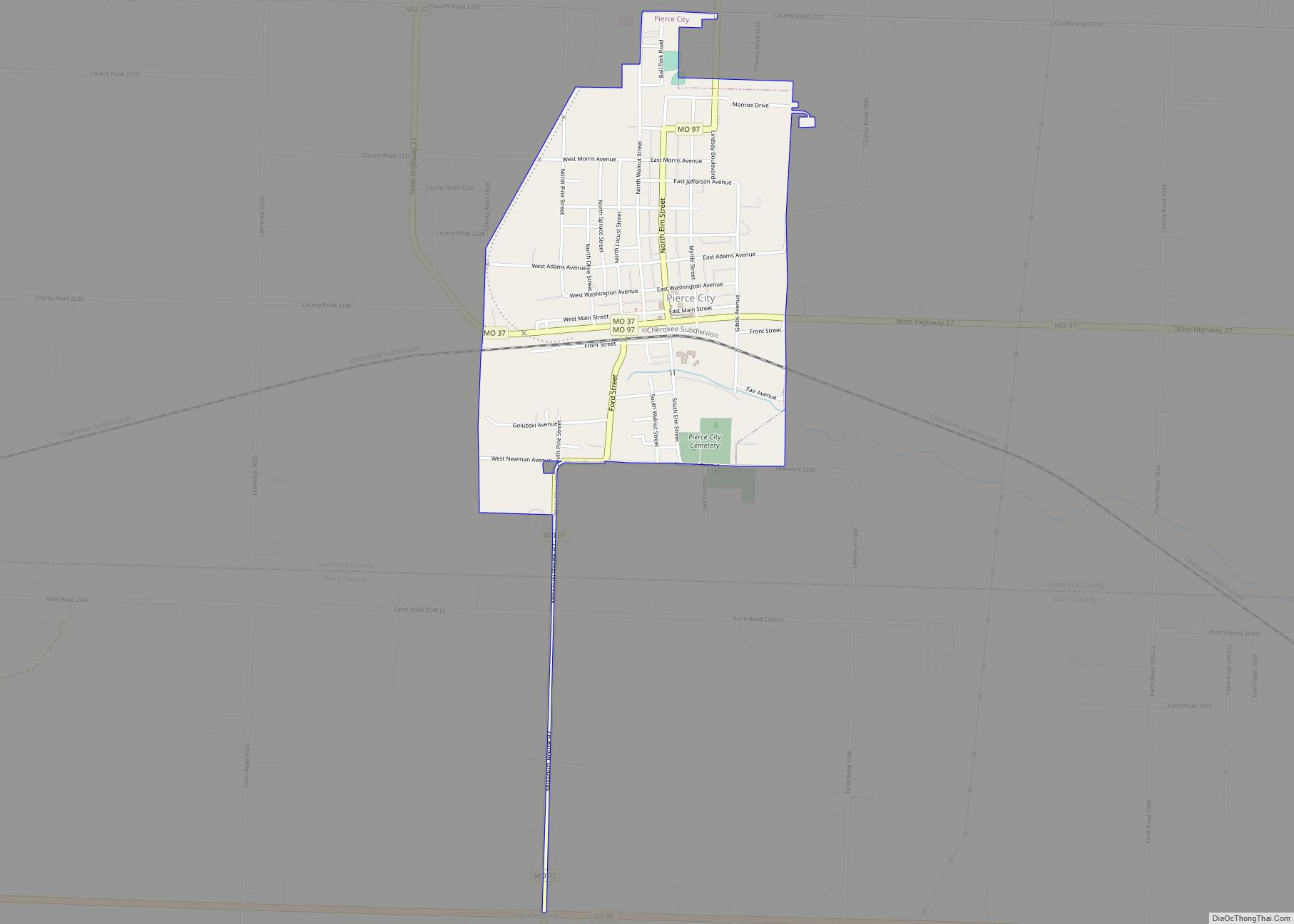
Pierce City, formerly Peirce City, is a city in southwest Lawrence and northwest Barry counties, in southwest Missouri, United States. The population was 1,292 at the 2010 census. In 2010, the town annexed property along Route 97 into Barry County to a point just north of U.S. Route 60. It was estimated to be 1,309 ... Read more
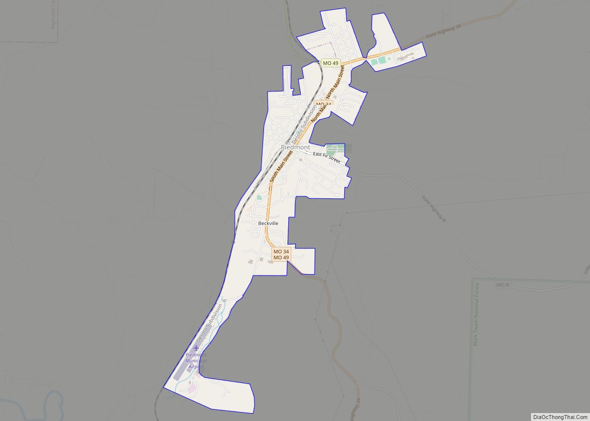
Piedmont is a city in northwestern Wayne County in Southeast Missouri, United States. Its population was 1,897 at the 2020 census. Part of the Ozark Foothills Region, it is at the convergence of State Highways 34 and 49. Piedmont, transliterated as “foot of the mountain,” is named for its position at the foot of Clark ... Read more
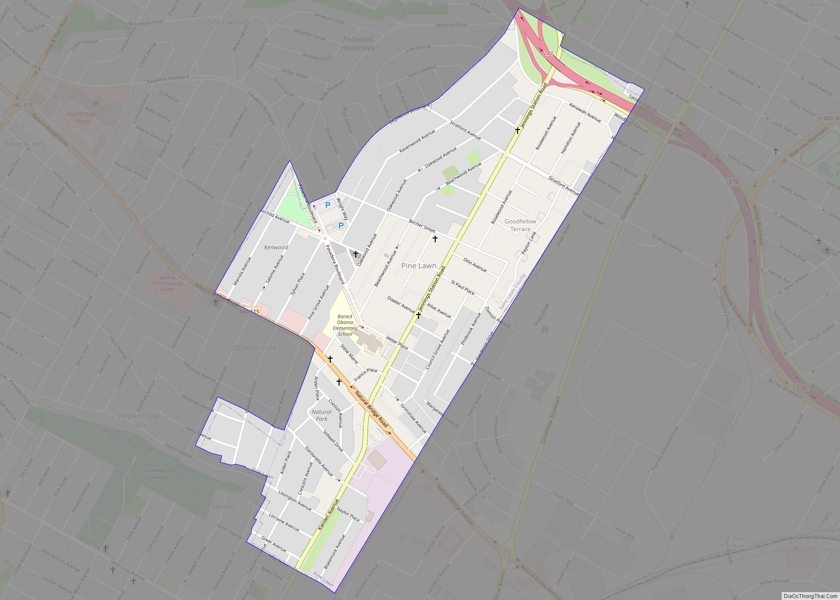
Pine Lawn is a city in St. Louis County, Missouri, United States. The population was 3,275 at the 2010 census. Pine Lawn city overview: Name: Pine Lawn city LSAD Code: 25 LSAD Description: city (suffix) State: Missouri County: St. Louis County Elevation: 604 ft (184 m) Total Area: 0.62 sq mi (1.60 km²) Land Area: 0.62 sq mi (1.60 km²) Water Area: 0.00 sq mi ... Read more
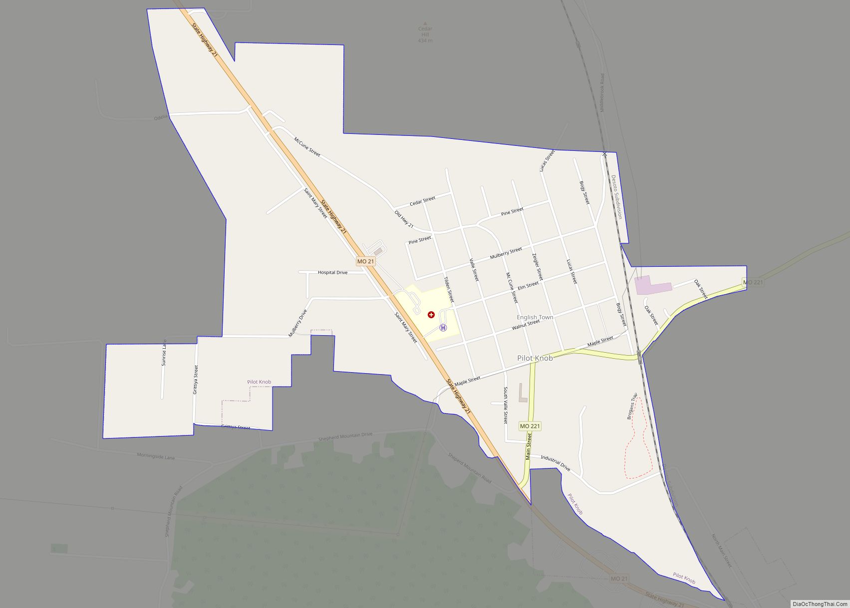
Pilot Knob is a city in northeast Iron County, Missouri, United States. The population was 671 at the 2020 census. It lies eighteen miles south-east of Belgrade and twenty-seven miles north-east of Centerville. Pilot Knob city overview: Name: Pilot Knob city LSAD Code: 25 LSAD Description: city (suffix) State: Missouri County: Iron County Elevation: 965 ft ... Read more
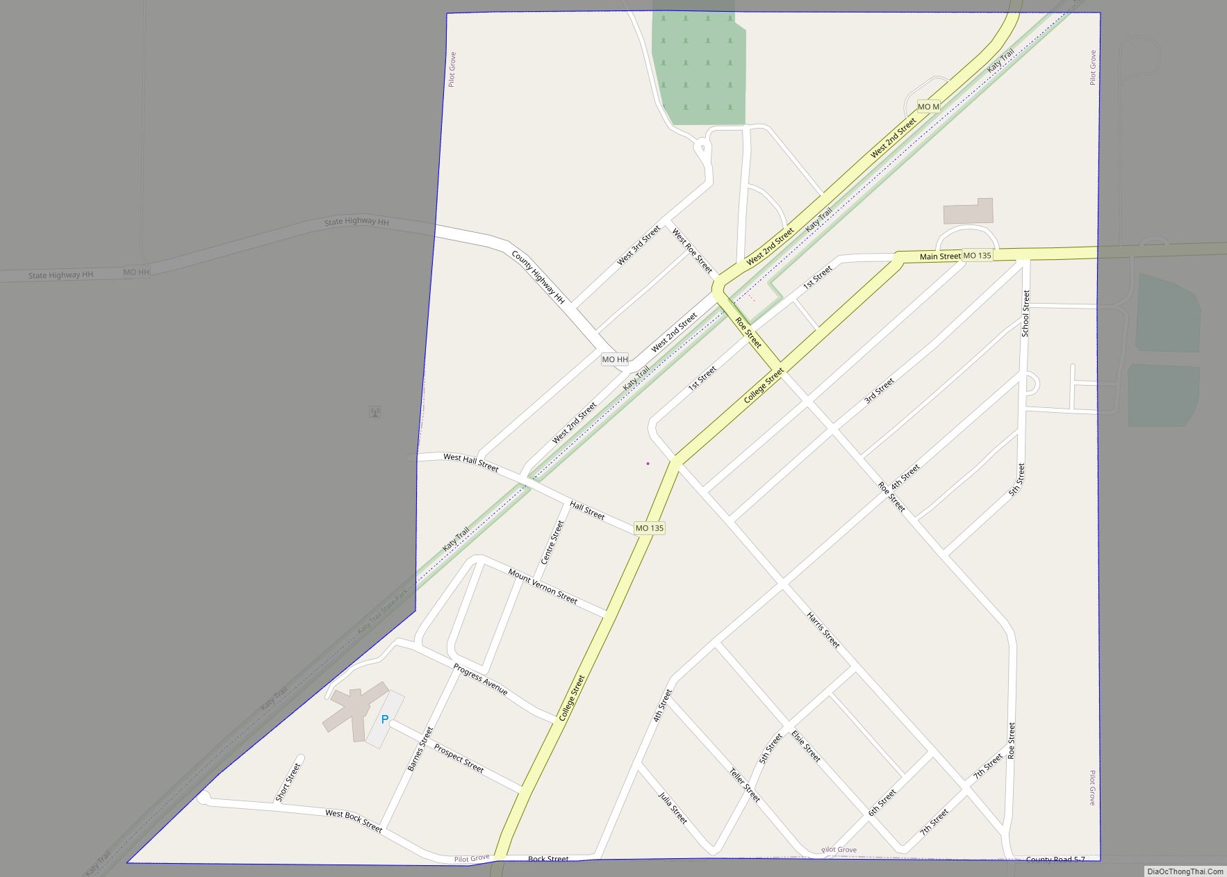
Pilot Grove is a city in the Pilot Grove Township in northern Cooper County, Missouri, United States. The population was 768 at the 2010 census. Pilot Grove city overview: Name: Pilot Grove city LSAD Code: 25 LSAD Description: city (suffix) State: Missouri County: Cooper County Elevation: 846 ft (258 m) Total Area: 0.42 sq mi (1.09 km²) Land Area: 0.42 sq mi ... Read more
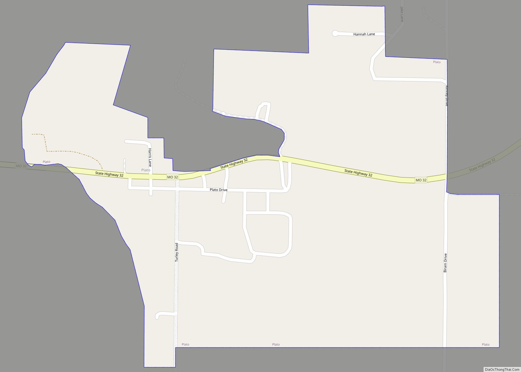
Plato is an incorporated village in northwestern Texas County, Missouri, United States. It is located approximately 20 miles northwest of Houston and 10 miles south of Fort Leonard Wood on Route 32. The population was 82 at the 2020 census. As of the 2010 U.S. Census Plato was the mean center of United States population ... Read more
