Piedmont is a city in northwestern Wayne County in Southeast Missouri, United States. Its population was 1,897 at the 2020 census. Part of the Ozark Foothills Region, it is at the convergence of State Highways 34 and 49. Piedmont, transliterated as “foot of the mountain,” is named for its position at the foot of Clark Mountain, a 1424-foot summit approximately two miles north of the town.
| Name: | Piedmont city |
|---|---|
| LSAD Code: | 25 |
| LSAD Description: | city (suffix) |
| State: | Missouri |
| County: | Wayne County |
| Elevation: | 512 ft (156 m) |
| Total Area: | 2.14 sq mi (5.53 km²) |
| Land Area: | 2.13 sq mi (5.52 km²) |
| Water Area: | 0.01 sq mi (0.01 km²) |
| Total Population: | 1,897 |
| Population Density: | 890.19/sq mi (343.74/km²) |
| ZIP code: | 63957 |
| Area code: | 573 |
| FIPS code: | 2957422 |
| GNISfeature ID: | 2396198 |
Online Interactive Map
Click on ![]() to view map in "full screen" mode.
to view map in "full screen" mode.
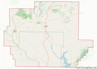
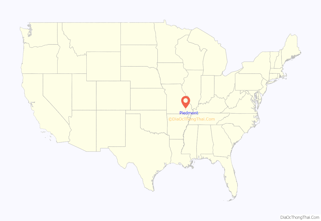
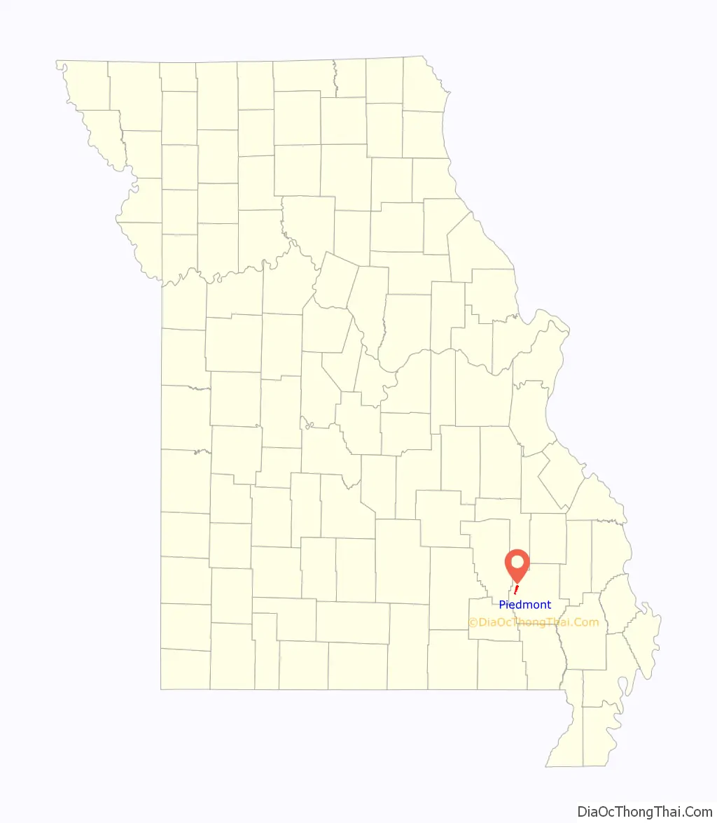
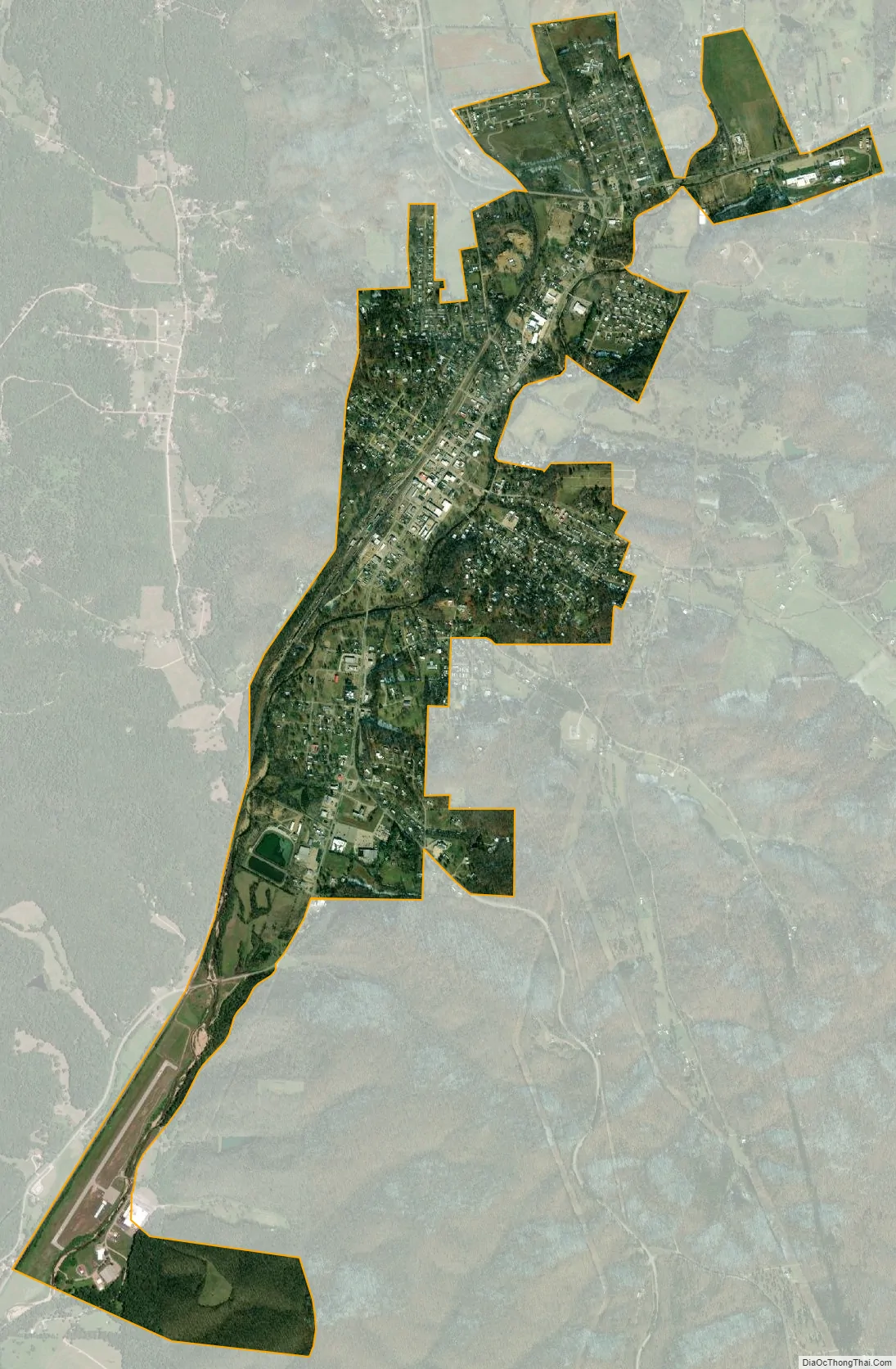
Piedmont location map. Where is Piedmont city?
History
Piedmont was platted in 1871 when the Iron Mountain Railroad was extended south to that point. The community derives its name from the French pied and mont, meaning “foot” and “mountain” respectively. A post office called Piedmont has been in operation since 1872.
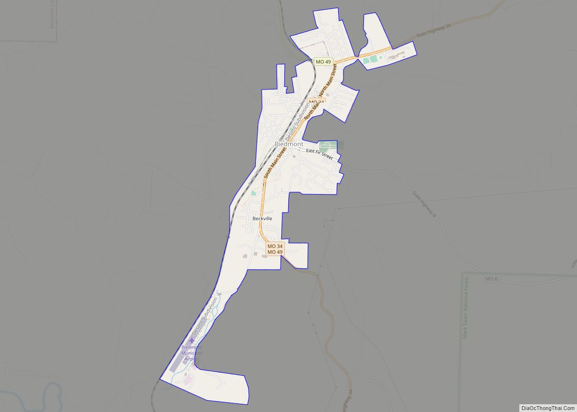
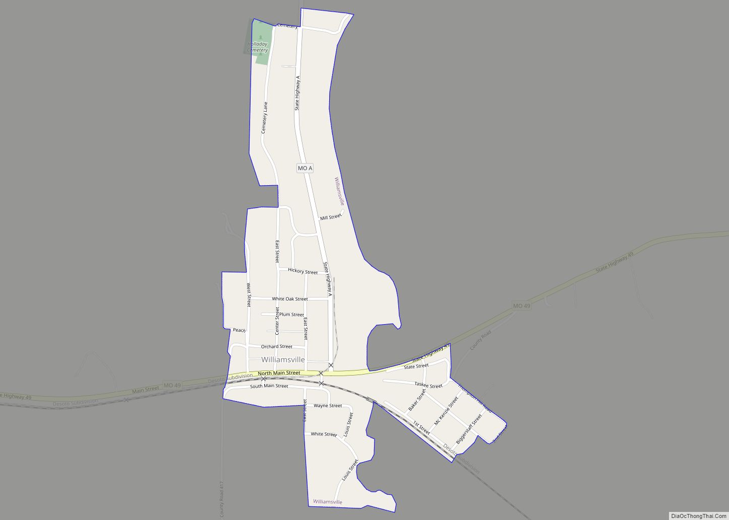
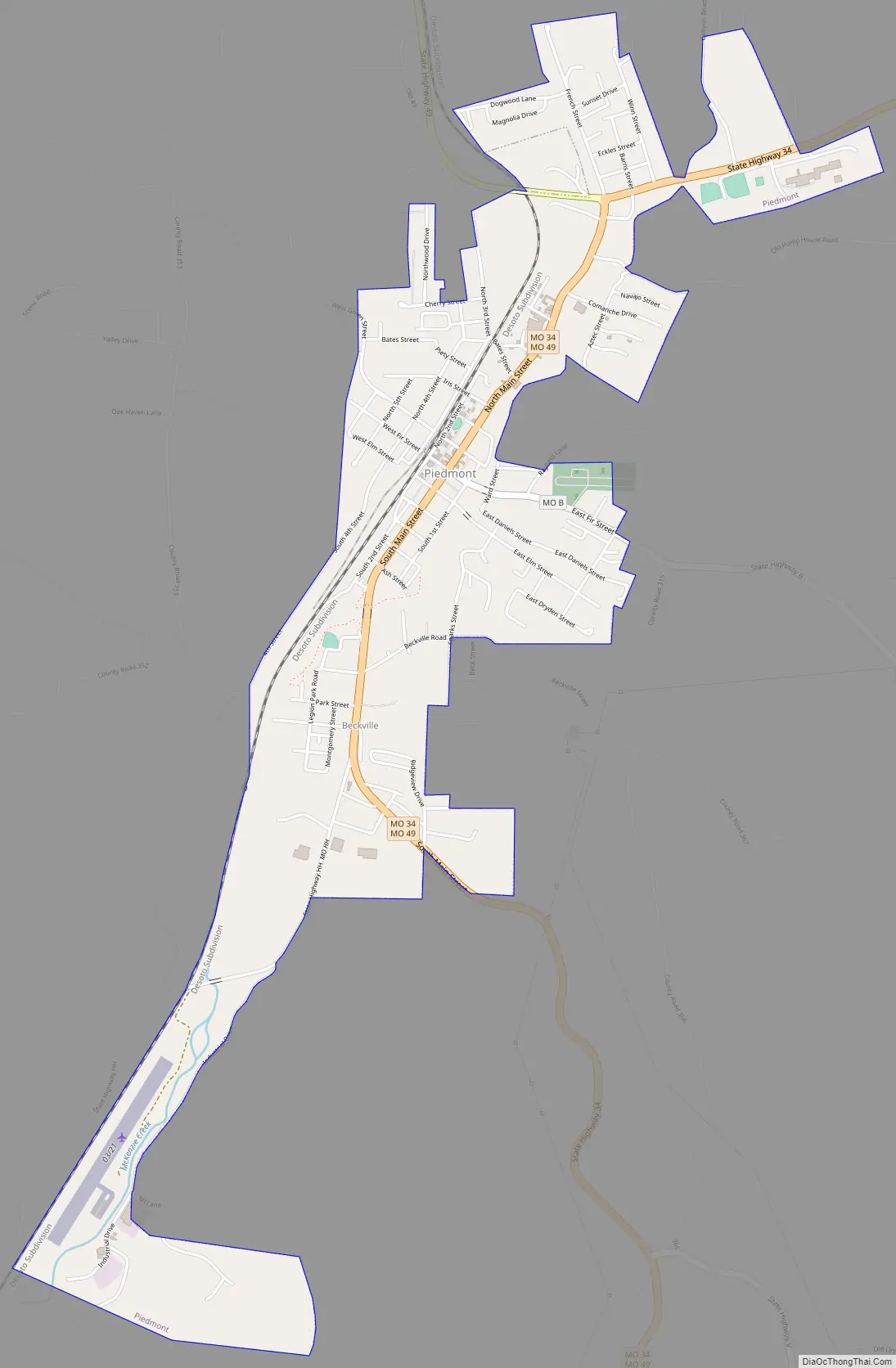
Piedmont Road Map
Piedmont city Satellite Map
Geography
Piedmont is located at 37°9′0″N 90°41′45″W / 37.15000°N 90.69583°W / 37.15000; -90.69583.
According to the United States Census Bureau, the city has a total area of 2.15 square miles (5.57 km), of which 2.14 square miles (5.54 km) is land and 0.01 square miles (0.03 km) is water.
Piedmont includes the neighborhood of Beckville.
Nearby Clearwater Lake, a flood-control lake that was constructed in the 1940s and managed by the U.S. Army Corps of Engineers, brings substantial seasonal tourism to Piedmont for boating, fishing, and camping.
See also
Map of Missouri State and its subdivision:- Adair
- Andrew
- Atchison
- Audrain
- Barry
- Barton
- Bates
- Benton
- Bollinger
- Boone
- Buchanan
- Butler
- Caldwell
- Callaway
- Camden
- Cape Girardeau
- Carroll
- Carter
- Cass
- Cedar
- Chariton
- Christian
- Clark
- Clay
- Clinton
- Cole
- Cooper
- Crawford
- Dade
- Dallas
- Daviess
- De Kalb
- Dent
- Douglas
- Dunklin
- Franklin
- Gasconade
- Gentry
- Greene
- Grundy
- Harrison
- Henry
- Hickory
- Holt
- Howard
- Howell
- Iron
- Jackson
- Jasper
- Jefferson
- Johnson
- Knox
- Laclede
- Lafayette
- Lawrence
- Lewis
- Lincoln
- Linn
- Livingston
- Macon
- Madison
- Maries
- Marion
- McDonald
- Mercer
- Miller
- Mississippi
- Moniteau
- Monroe
- Montgomery
- Morgan
- New Madrid
- Newton
- Nodaway
- Oregon
- Osage
- Ozark
- Pemiscot
- Perry
- Pettis
- Phelps
- Pike
- Platte
- Polk
- Pulaski
- Putnam
- Ralls
- Randolph
- Ray
- Reynolds
- Ripley
- Saint Charles
- Saint Clair
- Saint Francois
- Saint Louis
- Sainte Genevieve
- Saline
- Schuyler
- Scotland
- Scott
- Shannon
- Shelby
- Stoddard
- Stone
- Sullivan
- Taney
- Texas
- Vernon
- Warren
- Washington
- Wayne
- Webster
- Worth
- Wright
- Alabama
- Alaska
- Arizona
- Arkansas
- California
- Colorado
- Connecticut
- Delaware
- District of Columbia
- Florida
- Georgia
- Hawaii
- Idaho
- Illinois
- Indiana
- Iowa
- Kansas
- Kentucky
- Louisiana
- Maine
- Maryland
- Massachusetts
- Michigan
- Minnesota
- Mississippi
- Missouri
- Montana
- Nebraska
- Nevada
- New Hampshire
- New Jersey
- New Mexico
- New York
- North Carolina
- North Dakota
- Ohio
- Oklahoma
- Oregon
- Pennsylvania
- Rhode Island
- South Carolina
- South Dakota
- Tennessee
- Texas
- Utah
- Vermont
- Virginia
- Washington
- West Virginia
- Wisconsin
- Wyoming