Perryville is a city in Perry County, Missouri, United States. The population was 8,555 at the 2020 United States census. Perryville is the county seat of Perry County.
| Name: | Perryville city |
|---|---|
| LSAD Code: | 25 |
| LSAD Description: | city (suffix) |
| State: | Missouri |
| County: | Perry County |
| Incorporated: | 1856 |
| Elevation: | 577 ft (176 m) |
| Total Area: | 8.32 sq mi (21.56 km²) |
| Land Area: | 8.16 sq mi (21.14 km²) |
| Water Area: | 0.16 sq mi (0.43 km²) |
| Total Population: | 8,555 |
| Population Density: | 1,048.41/sq mi (404.78/km²) |
| ZIP code: | 63775, 63776, 63783 |
| Area code: | 573 |
| FIPS code: | 2957116 |
| GNISfeature ID: | 2396186 |
| Website: | https://www.cityofperryville.com |
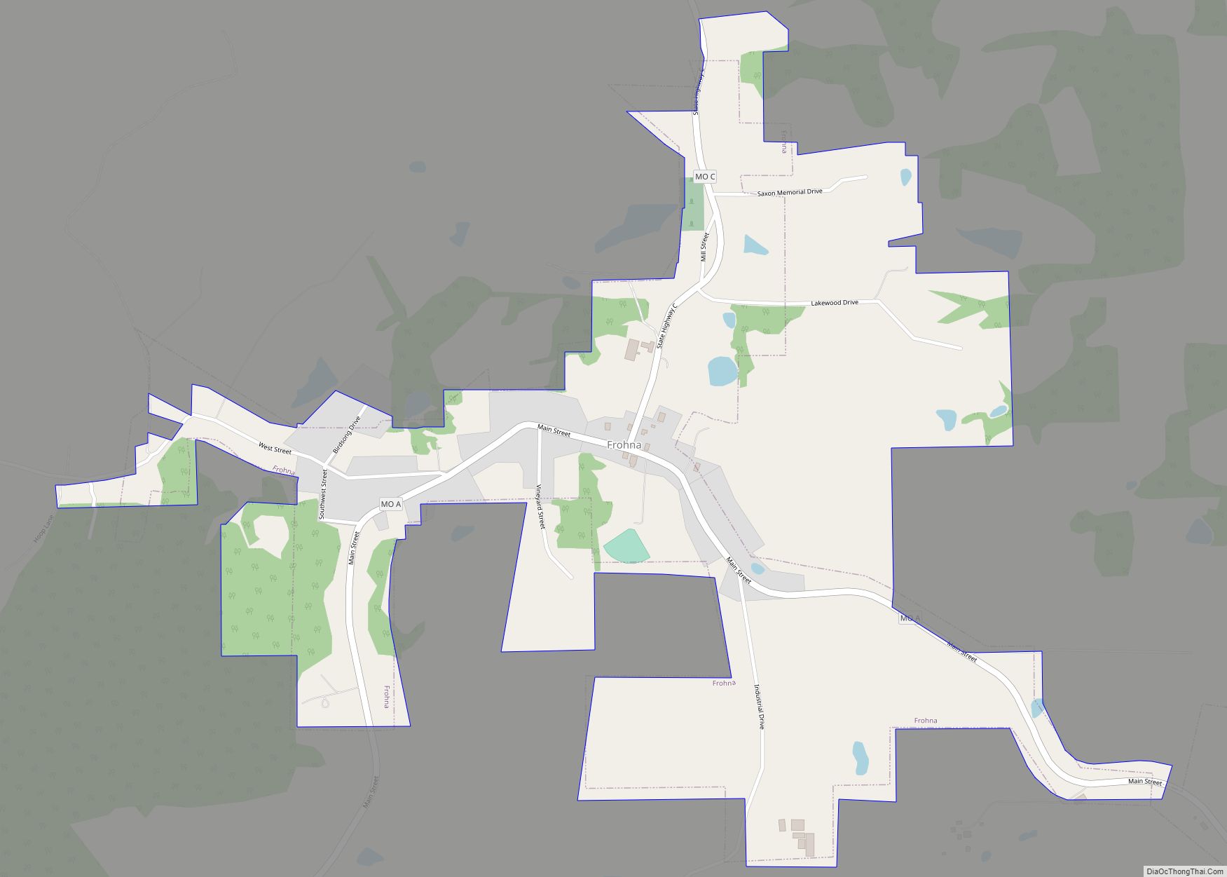
Online Interactive Map
Click on ![]() to view map in "full screen" mode.
to view map in "full screen" mode.
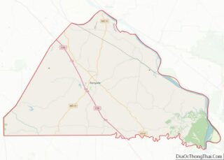
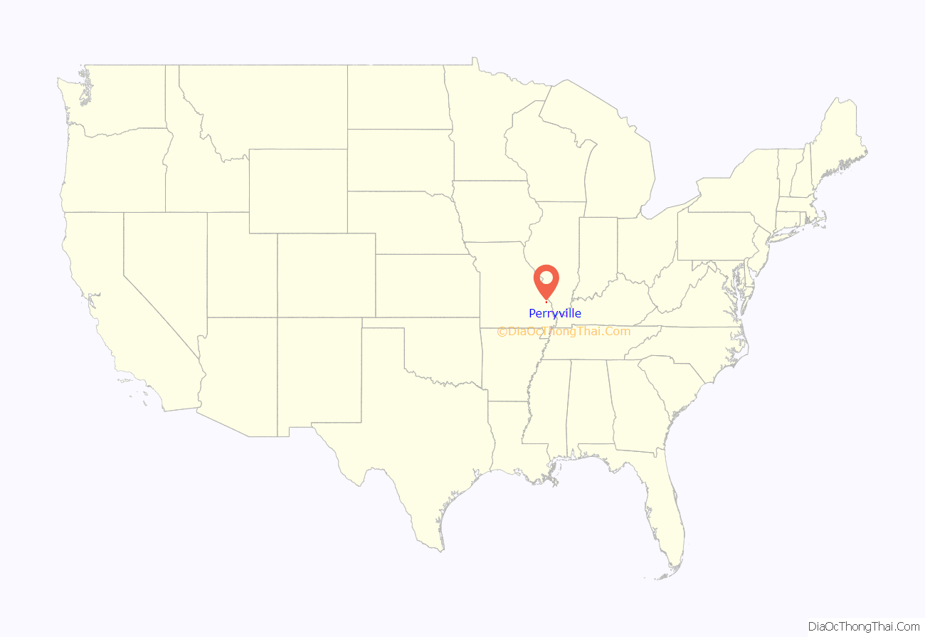
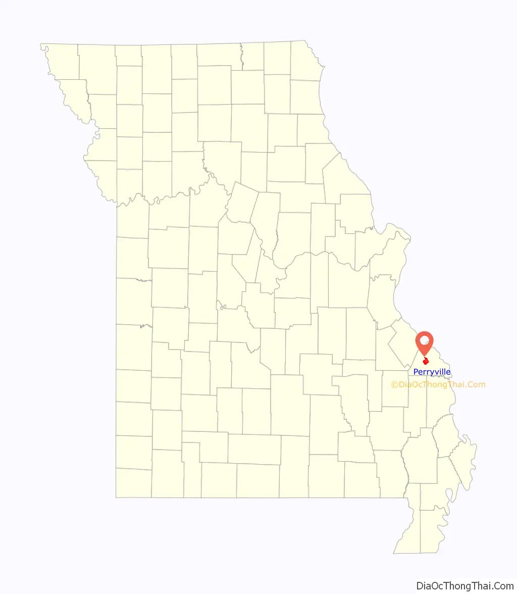
Perryville location map. Where is Perryville city?
History
Perryville was selected the county seat of Perry County by Robert T. Brown, Joseph Tucker, and Thomas Riney, who had been appointed to select the seat of justice. In 1821, Bernard Layton deeded 51 acres (210,000 m) to the commissioners in exchange for one town lot. Fifty-three of the 99 town lots were sold for $1,486.25, which was used to build the first courthouse. The current courthouse is the third such structure. It was built in 1904 at a cost of $30,000. Perryville and Perry County were named for Commodore Oliver Hazard Perry, Naval hero of the War of 1812.
An early store in Perryville was a log structure built by Jean Ferdinand Rozier on the north side of the square. An extant two-story brick building was built in 1830. The upper story serves as the first town hall. Perryville was first incorporated in 1837, but the incorporation was allowed to lapse.
As both merchandisers and consumers grew in sophistication, so did the types of establishments in the county. Built in 1843, the Hoose Hotel, often called the “white house”, was a prominent structure in early commercial days. The Hoose Hotel served as a hotel, a brewery and an auction block.
In 1856, the town was again incorporated and by 1874 it had its first fire engine. Fourth Class City status was attained in 1879 and the following year Charles A. Weber was elected its first mayor. With the building of the Chester, Perryville and Ste. Genevieve Railway, prosperity came.
Largely because of its role as the seat of county government and because of its central location, Perryville began to develop as the major commercial and service center in Perry County. The population increased from 897 in 1890 to 1275 in 1900. Telephone service started in 1893.
2017 tornado
On February 28, 2017, an EF4 tornado tore through Perryville, causing widespread EF3 and some EF4 damage in and around the city. One person was killed.
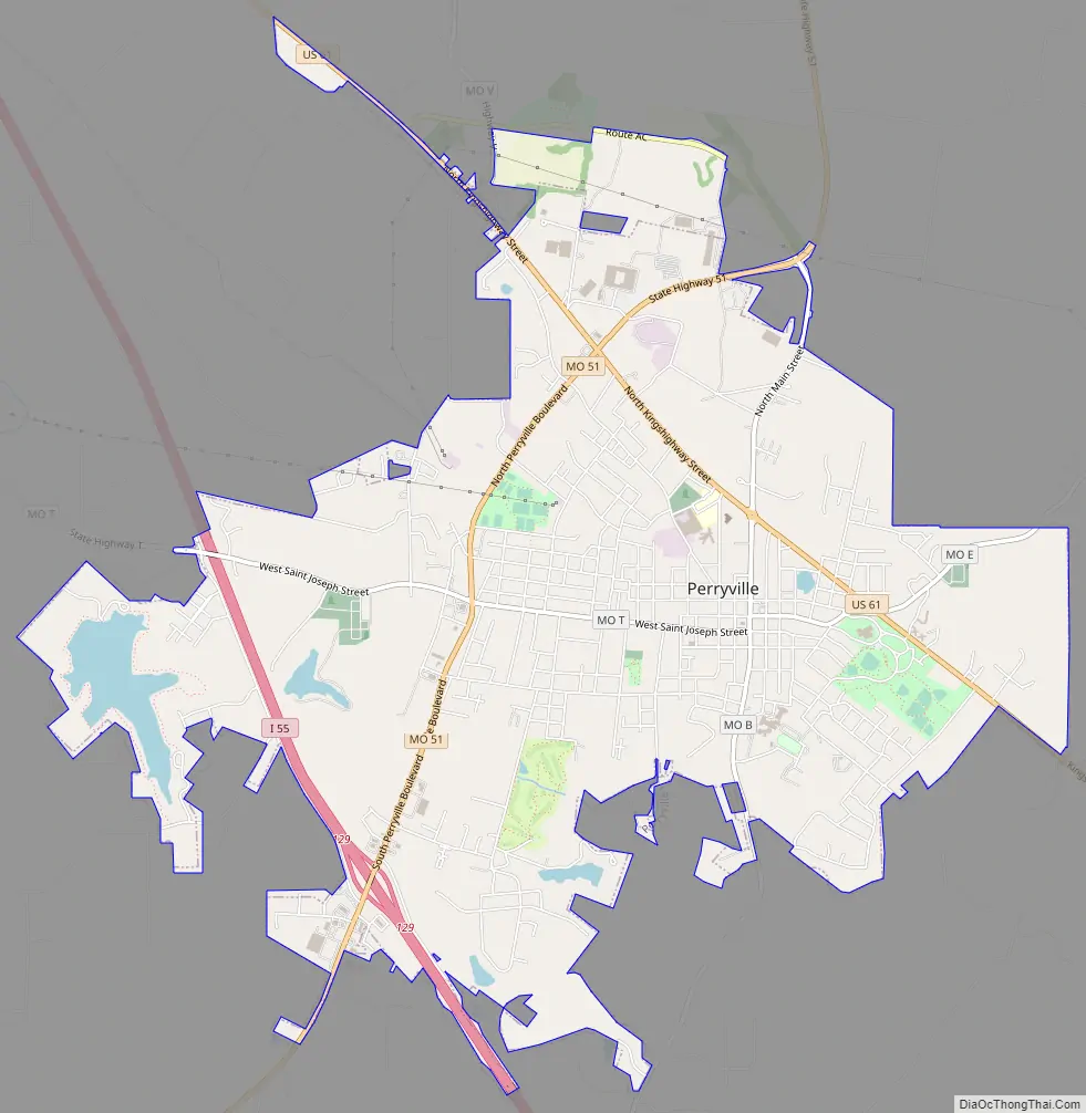
Perryville Road Map
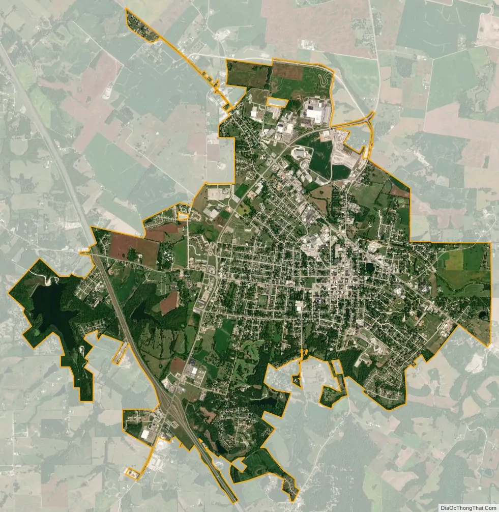
Perryville city Satellite Map
Geography
Perryville is located in central Perry County approximately seven miles from the Mississippi River. Cinque Hommes Creek flows past the south side of the city. I-55 and U.S. Route 61 pass on the west and east sides of the city respectively.
According to the United States Census Bureau, the city has a total area of 7.96 square miles (20.62 km), of which 7.80 square miles (20.20 km) is land and 0.16 square miles (0.41 km) is water.
Climate
See also
Map of Missouri State and its subdivision:- Adair
- Andrew
- Atchison
- Audrain
- Barry
- Barton
- Bates
- Benton
- Bollinger
- Boone
- Buchanan
- Butler
- Caldwell
- Callaway
- Camden
- Cape Girardeau
- Carroll
- Carter
- Cass
- Cedar
- Chariton
- Christian
- Clark
- Clay
- Clinton
- Cole
- Cooper
- Crawford
- Dade
- Dallas
- Daviess
- De Kalb
- Dent
- Douglas
- Dunklin
- Franklin
- Gasconade
- Gentry
- Greene
- Grundy
- Harrison
- Henry
- Hickory
- Holt
- Howard
- Howell
- Iron
- Jackson
- Jasper
- Jefferson
- Johnson
- Knox
- Laclede
- Lafayette
- Lawrence
- Lewis
- Lincoln
- Linn
- Livingston
- Macon
- Madison
- Maries
- Marion
- McDonald
- Mercer
- Miller
- Mississippi
- Moniteau
- Monroe
- Montgomery
- Morgan
- New Madrid
- Newton
- Nodaway
- Oregon
- Osage
- Ozark
- Pemiscot
- Perry
- Pettis
- Phelps
- Pike
- Platte
- Polk
- Pulaski
- Putnam
- Ralls
- Randolph
- Ray
- Reynolds
- Ripley
- Saint Charles
- Saint Clair
- Saint Francois
- Saint Louis
- Sainte Genevieve
- Saline
- Schuyler
- Scotland
- Scott
- Shannon
- Shelby
- Stoddard
- Stone
- Sullivan
- Taney
- Texas
- Vernon
- Warren
- Washington
- Wayne
- Webster
- Worth
- Wright
- Alabama
- Alaska
- Arizona
- Arkansas
- California
- Colorado
- Connecticut
- Delaware
- District of Columbia
- Florida
- Georgia
- Hawaii
- Idaho
- Illinois
- Indiana
- Iowa
- Kansas
- Kentucky
- Louisiana
- Maine
- Maryland
- Massachusetts
- Michigan
- Minnesota
- Mississippi
- Missouri
- Montana
- Nebraska
- Nevada
- New Hampshire
- New Jersey
- New Mexico
- New York
- North Carolina
- North Dakota
- Ohio
- Oklahoma
- Oregon
- Pennsylvania
- Rhode Island
- South Carolina
- South Dakota
- Tennessee
- Texas
- Utah
- Vermont
- Virginia
- Washington
- West Virginia
- Wisconsin
- Wyoming