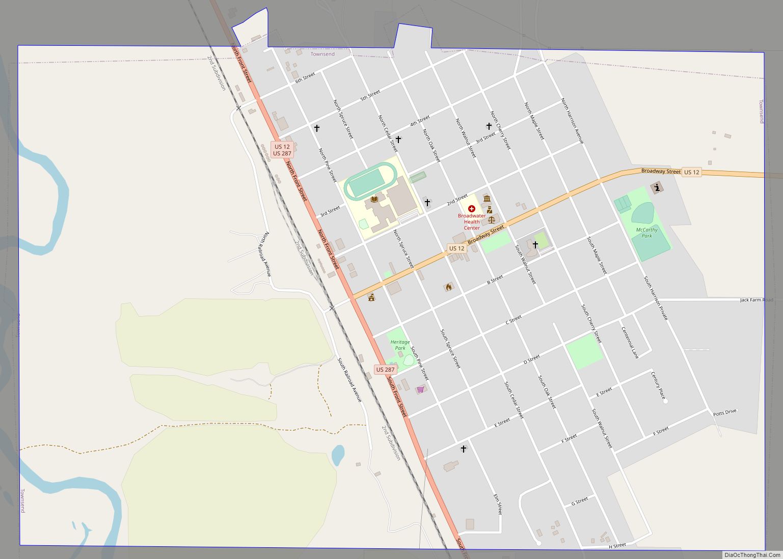
Townsend is a city in and the county seat of Broadwater County, Montana, United States. The population was 1,787 at the 2020 census. Townsend city overview: Name: Townsend city LSAD Code: 25 LSAD Description: city (suffix) State: Montana County: Broadwater County Elevation: 3,842 ft (1,171 m) Total Area: 1.53 sq mi (3.97 km²) Land Area: 1.53 sq mi (3.97 km²) Water Area: 0.00 sq mi ... Read more
Montana Cities and Places
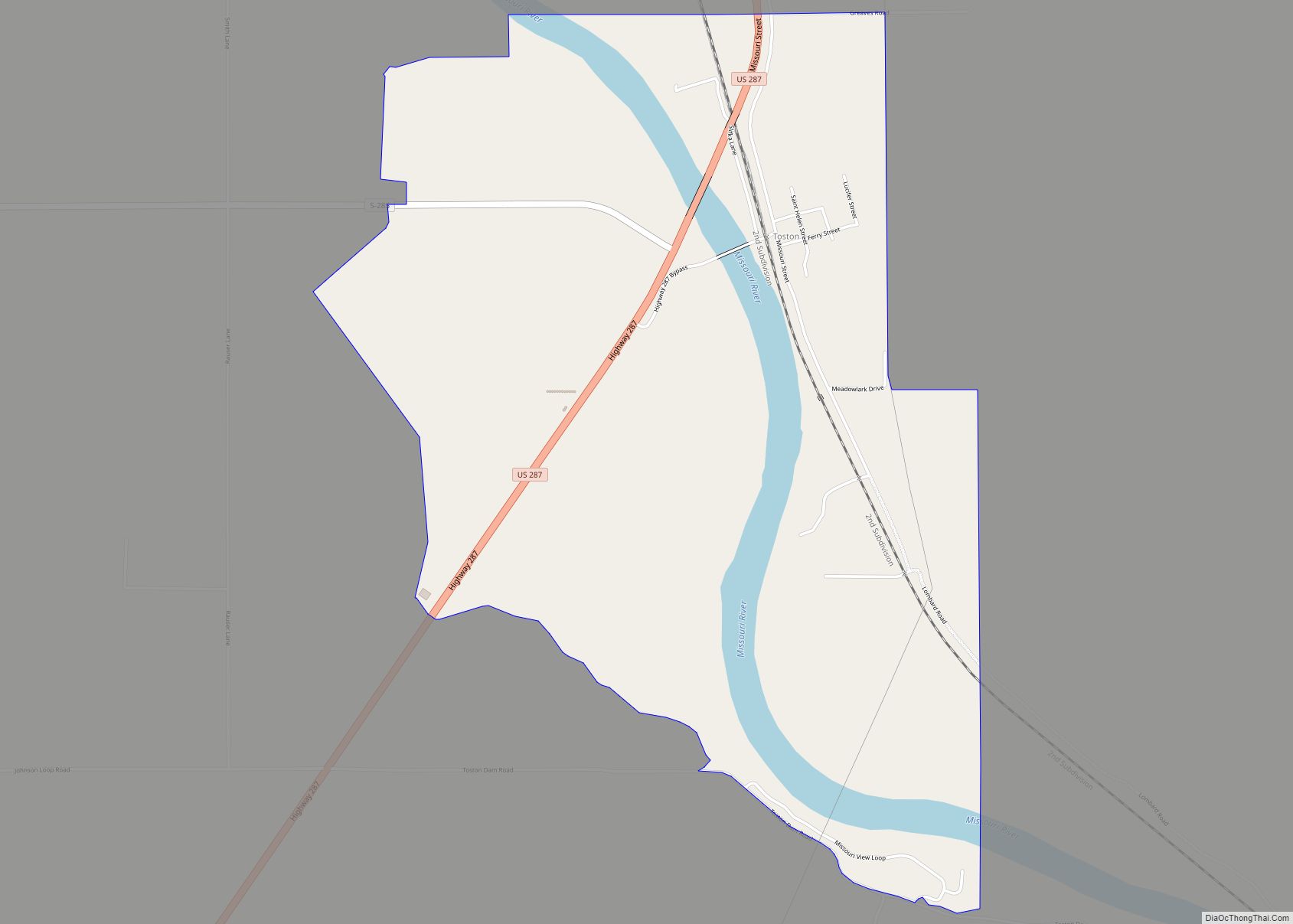
Toston is a census-designated place (CDP) in Broadwater County, Montana, United States. The population was 108 at the 2010 census. Thomas Toston settled in the area in 1871, establishing a ferry across the Missouri River. The post office opened in 1882. The Toston Smeltering Company smelter processed gold and silver ore from 1883 to 1899. ... Read more
Ulm is a census-designated place (CDP) in Cascade County, Montana, United States. It was originally a large ranch owned by Indiana-born cattleman William Ulm. The population was 738 at the 2010 census. It is part of the Great Falls, Montana Metropolitan Statistical Area. The Zip Code is 59485. The post office opened in 1883. In ... Read more
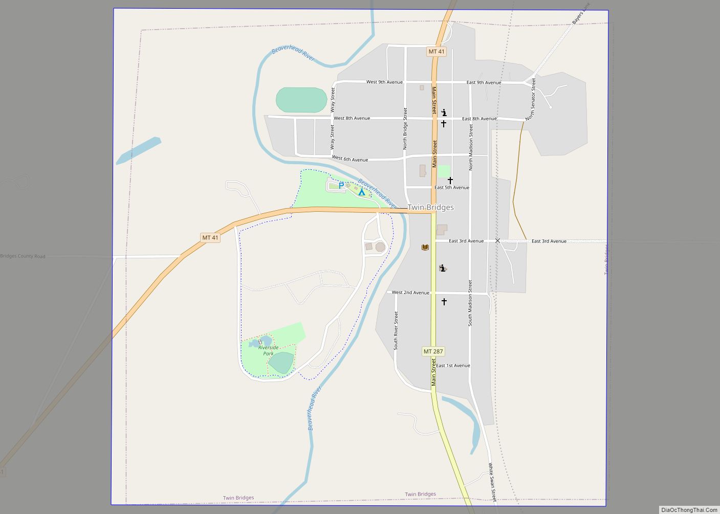
Twin Bridges is a town in Madison County, Montana, United States. It lies at the confluence of the Ruby, Beaverhead and Big Hole Rivers which form the Jefferson River. Twin Bridges is a well-known fly fishing mecca for trout anglers. The population was 330 at the 2020 census. Twin Bridges town overview: Name: Twin Bridges ... Read more
Turtle Lake (Salish: čɫqq̓liʔ ) is a census-designated place (CDP) in Lake County, Montana, United States. The population was 209 at the 2010 census. Turtle Lake CDP overview: Name: Turtle Lake CDP LSAD Code: 57 LSAD Description: CDP (suffix) State: Montana County: Lake County Elevation: 3,097 ft (944 m) Total Area: 0.66 sq mi (1.71 km²) Land Area: 0.60 sq mi (1.55 km²) ... Read more
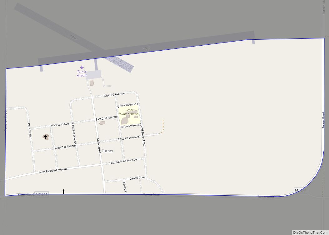
Turner is an unincorporated village in Blaine County, Montana, United States. Turner is located on Montana State Highway 241, 41.5 miles (66.8 km) east-northeast of Chinook. It is 12 miles south of the Canadian border. Its population was 61 as of the 2010 census. Turner has the post office serving ZIP code 59542, and other businesses ... Read more
West Kootenai is a census-designated place (CDP) in Lincoln County, Montana, United States. The population was 365 at the 2010 census. West Kootenai CDP overview: Name: West Kootenai CDP LSAD Code: 57 LSAD Description: CDP (suffix) State: Montana County: Lincoln County Elevation: 2,780 ft (850 m) Total Area: 16.14 sq mi (41.79 km²) Land Area: 16.07 sq mi (41.63 km²) Water Area: 0.06 sq mi ... Read more
West Havre is a census-designated place (CDP) in Hill County, Montana, United States. The population was 316 at the 2010 census, up from 284 in 2000. West Havre CDP overview: Name: West Havre CDP LSAD Code: 57 LSAD Description: CDP (suffix) State: Montana County: Hill County Elevation: 2,612 ft (796 m) Total Area: 1.89 sq mi (4.90 km²) Land Area: ... Read more
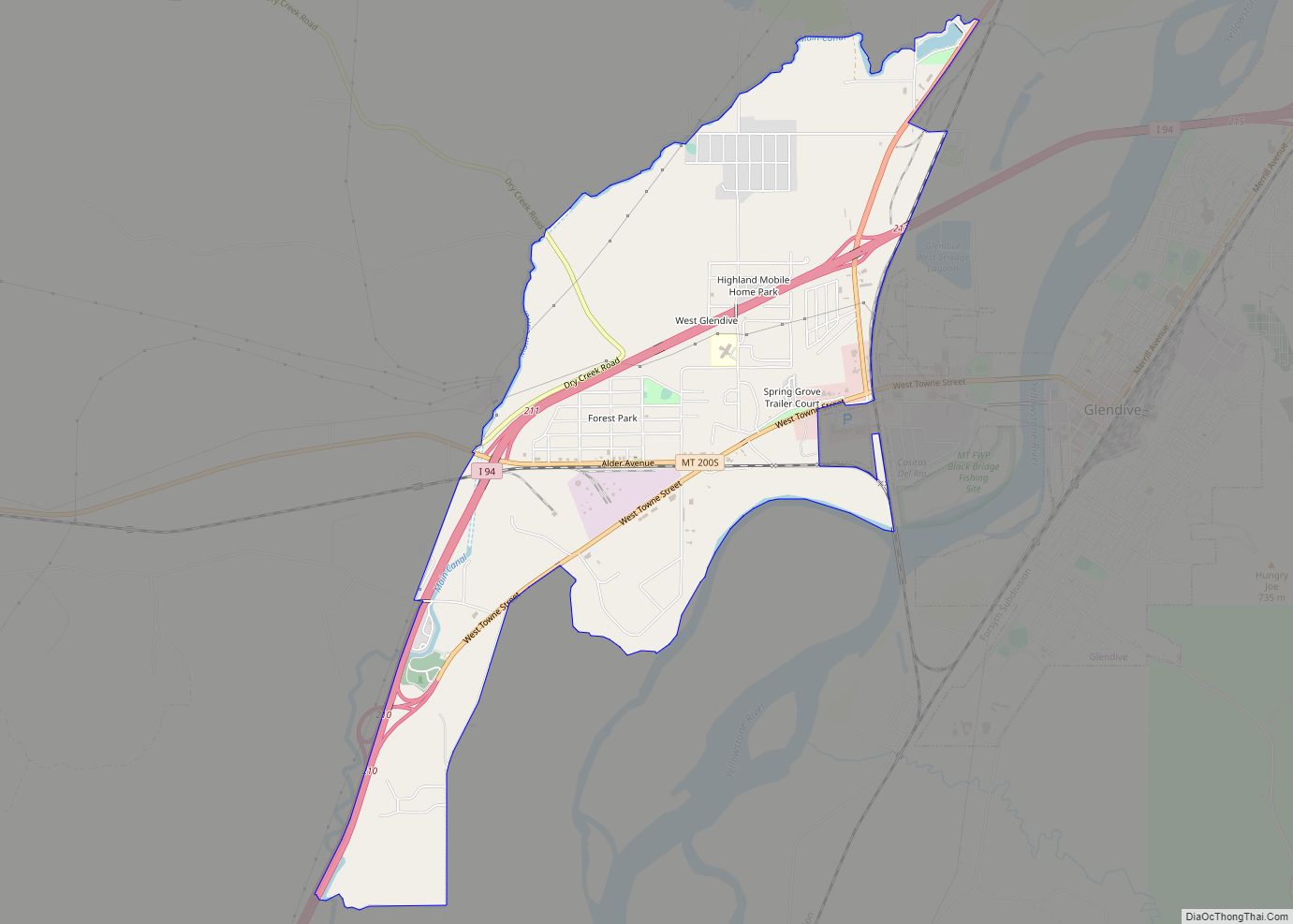
West Glendive is a census-designated place (CDP) in Dawson County, Montana, United States. The population was 1,998 at the 2020 census. West Glendive CDP overview: Name: West Glendive CDP LSAD Code: 57 LSAD Description: CDP (suffix) State: Montana County: Dawson County Elevation: 2,119 ft (646 m) Total Area: 3.85 sq mi (9.98 km²) Land Area: 3.84 sq mi (9.95 km²) Water Area: 0.01 sq mi ... Read more
West Glacier is an unincorporated community and census-designated place (CDP) in eastern Flathead County, Montana, United States. As of the 2010 census it had a population of 227. The town is at the west entrance to Glacier National Park and is located on U.S. Route 2 and a main line of the BNSF Railway. The ... Read more
Weeksville is a census-designated place (CDP) in Sanders County, Montana, United States. The population was 83 at the 2010 census. Weeksville CDP overview: Name: Weeksville CDP LSAD Code: 57 LSAD Description: CDP (suffix) State: Montana County: Sanders County Elevation: 2,792 ft (851 m) Total Area: 2.91 sq mi (7.54 km²) Land Area: 2.91 sq mi (7.54 km²) Water Area: 0.00 sq mi (0.00 km²) Total Population: ... Read more
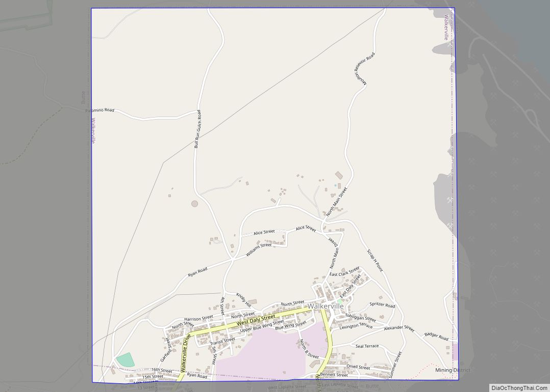
Walkerville is a town in Silver Bow County, Montana, United States, that is an enclave of the consolidated city-county of Butte. The population was 639 at the 2020 census. Walkerville is a suburb of Butte, and the only other incorporated community in the county, as well as the only part of the county that is ... Read more
