Townsend is a city in and the county seat of Broadwater County, Montana, United States. The population was 1,787 at the 2020 census.
| Name: | Townsend city |
|---|---|
| LSAD Code: | 25 |
| LSAD Description: | city (suffix) |
| State: | Montana |
| County: | Broadwater County |
| Elevation: | 3,842 ft (1,171 m) |
| Total Area: | 1.53 sq mi (3.97 km²) |
| Land Area: | 1.53 sq mi (3.97 km²) |
| Water Area: | 0.00 sq mi (0.00 km²) |
| Total Population: | 1,787 |
| Population Density: | 1,167.21/sq mi (450.55/km²) |
| ZIP code: | 59644 |
| Area code: | 406 |
| FIPS code: | 3074575 |
| GNISfeature ID: | 0792298 |
| Website: | http://www.townsendmt.com/ |
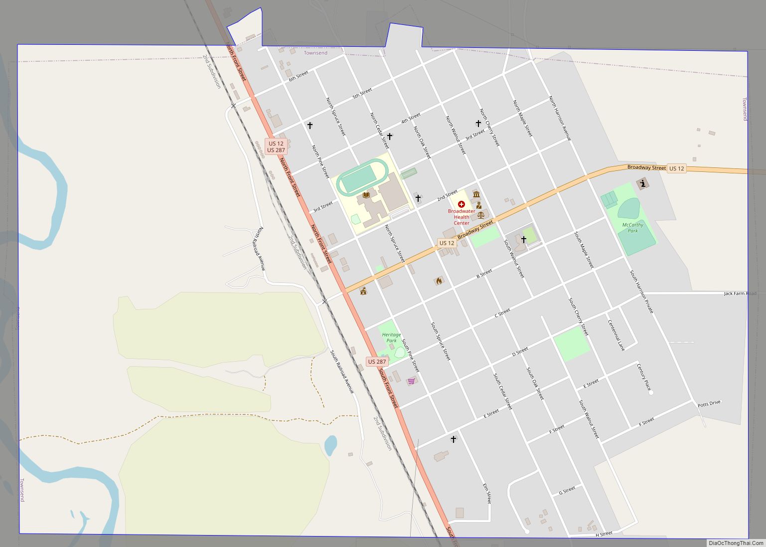
Online Interactive Map
Click on ![]() to view map in "full screen" mode.
to view map in "full screen" mode.
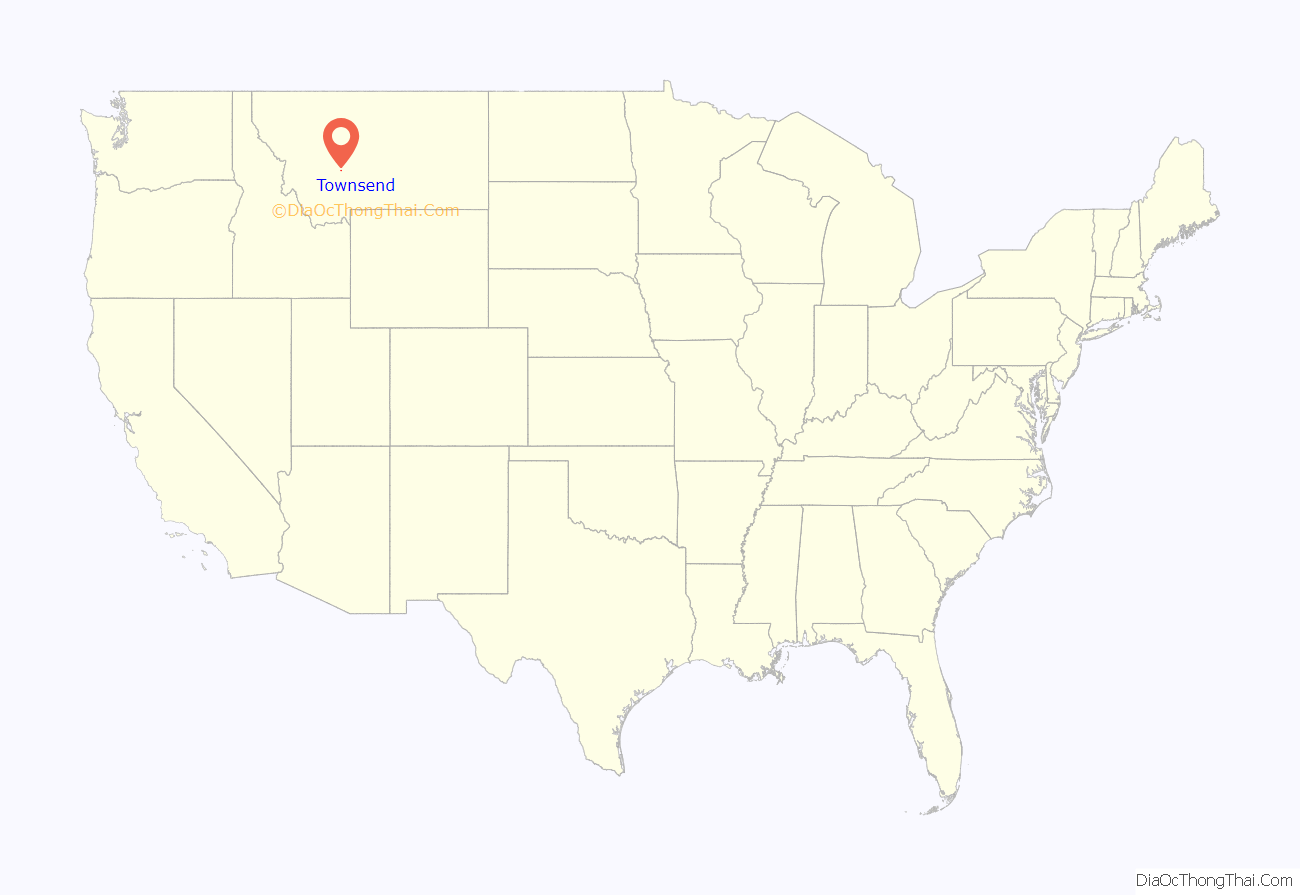
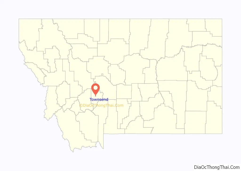
Townsend location map. Where is Townsend city?
History
Lewis and Clark passed through on the voyage of discovery in 1805, although the first white settlers, homesteaders and Civil War veterans in search of gold, did not arrive until the late 1860s. In 1883, a railstop was established as businesses became established supporting gold mining in the region. Townsend was named by railroad officials, in honor of Susan Townsend, the wife of Charles Barstow Wright, president of the Northern Pacific (1875–1879).
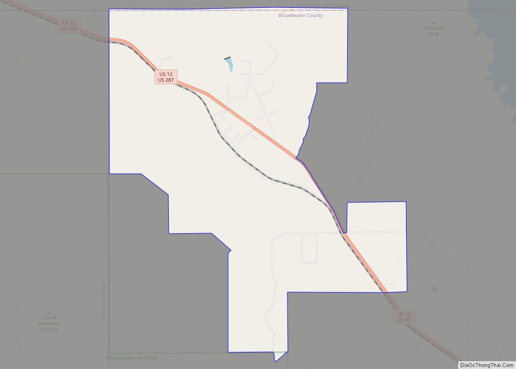
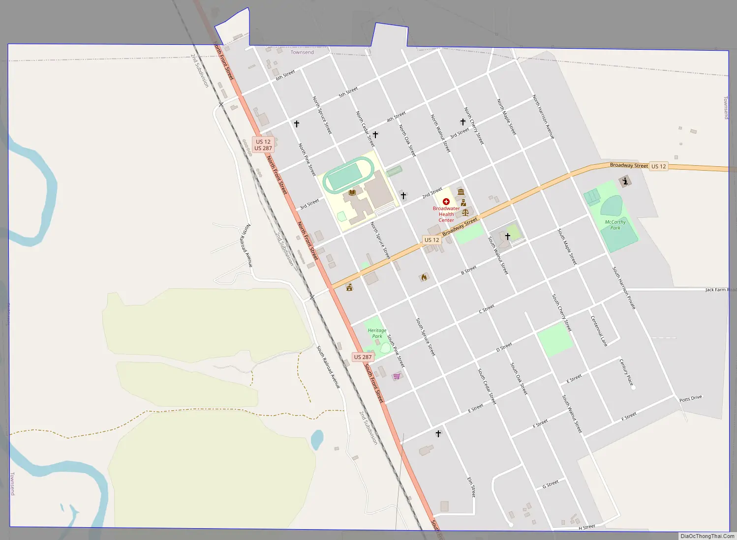
Townsend Road Map
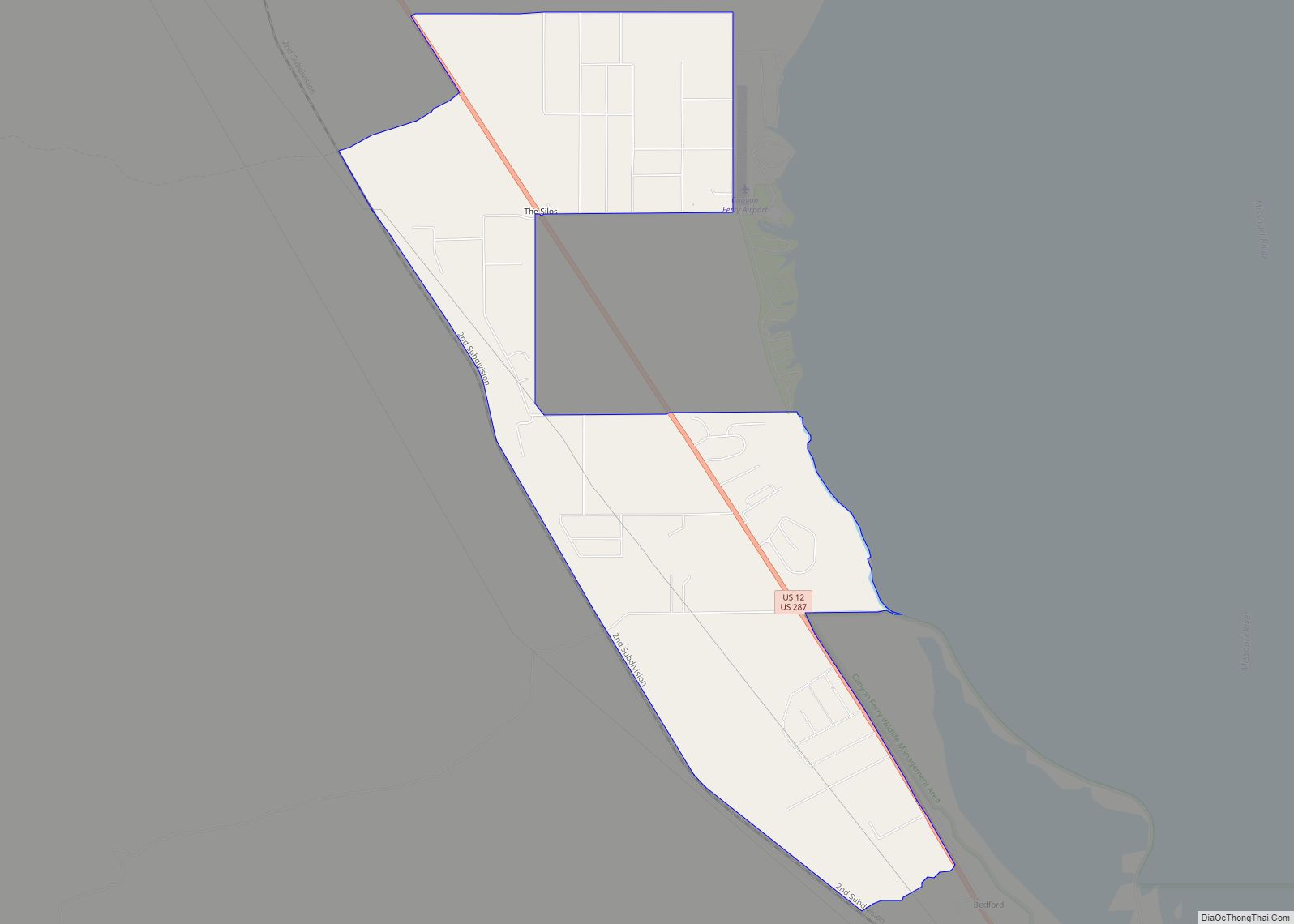
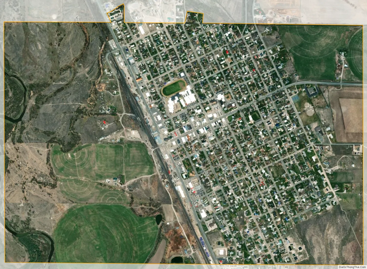
Townsend city Satellite Map
Geography
Townsend is located at 46°19′13″N 111°31′4″W / 46.32028°N 111.51778°W / 46.32028; -111.51778 (46.320218, -111.517642). and is situated at approximately 3800 feet above sea level. Townsend is located approximately 35 miles from Helena, the state capital and 35 miles from the convergence of the Jefferson, Madison, and Gallatin rivers which form the headwaters of the Missouri River. Nicknamed “the first city on the Missouri River”, Townsend sits nearby the southern tip of Canyon Ferry Lake (a part of, and fed by, the Missouri River) a popular recreation destination and Montana’s third largest body of water.
According to the United States Census Bureau, the city has a total area of 1.59 square miles (4.12 km), of which 1.58 square miles (4.09 km) is land and 0.01 square miles (0.03 km) is water.
See also
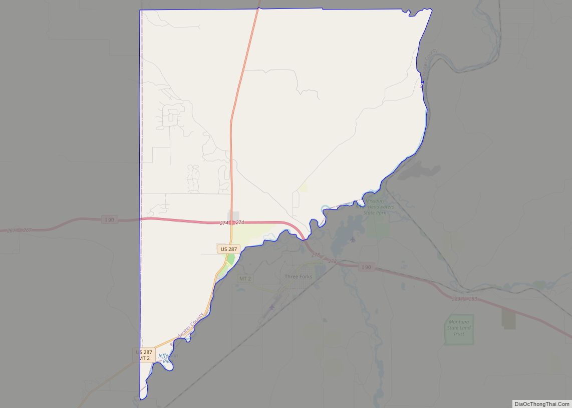
Map of Montana State and its subdivision:- Beaverhead
- Big Horn
- Blaine
- Broadwater
- Carbon
- Carter
- Cascade
- Chouteau
- Custer
- Daniels
- Dawson
- Deer Lodge
- Fallon
- Fergus
- Flathead
- Gallatin
- Garfield
- Glacier
- Golden Valley
- Granite
- Hill
- Jefferson
- Judith Basin
- Lake
- Lewis and Clark
- Liberty
- Lincoln
- Madison
- McCone
- Meagher
- Mineral
- Missoula
- Musselshell
- Park
- Petroleum
- Phillips
- Pondera
- Powder River
- Powell
- Prairie
- Ravalli
- Richland
- Roosevelt
- Rosebud
- Sanders
- Sheridan
- Silver Bow
- Stillwater
- Sweet Grass
- Teton
- Toole
- Treasure
- Valley
- Wheatland
- Wibaux
- Yellowstone
- Alabama
- Alaska
- Arizona
- Arkansas
- California
- Colorado
- Connecticut
- Delaware
- District of Columbia
- Florida
- Georgia
- Hawaii
- Idaho
- Illinois
- Indiana
- Iowa
- Kansas
- Kentucky
- Louisiana
- Maine
- Maryland
- Massachusetts
- Michigan
- Minnesota
- Mississippi
- Missouri
- Montana
- Nebraska
- Nevada
- New Hampshire
- New Jersey
- New Mexico
- New York
- North Carolina
- North Dakota
- Ohio
- Oklahoma
- Oregon
- Pennsylvania
- Rhode Island
- South Carolina
- South Dakota
- Tennessee
- Texas
- Utah
- Vermont
- Virginia
- Washington
- West Virginia
- Wisconsin
- Wyoming