Vaughn is a census-designated place (CDP) in Cascade County, Montana, United States. The population was 658 at the 2010 census. It is part of the Great Falls, Montana Metropolitan Statistical Area. It is named for Montana pioneer Robert Vaughn, whose homestead on the Vaughn Ranch encompassed part of the town.
| Name: | Vaughn CDP |
|---|---|
| LSAD Code: | 57 |
| LSAD Description: | CDP (suffix) |
| State: | Montana |
| County: | Cascade County |
| Elevation: | 3,366 ft (1,026 m) |
| Total Area: | 3.58 sq mi (9.26 km²) |
| Land Area: | 3.58 sq mi (9.26 km²) |
| Water Area: | 0.00 sq mi (0.00 km²) |
| Total Population: | 737 |
| Population Density: | 206.15/sq mi (79.60/km²) |
| ZIP code: | 59487 |
| Area code: | 406 |
| FIPS code: | 3076675 |
| GNISfeature ID: | 0778007 |
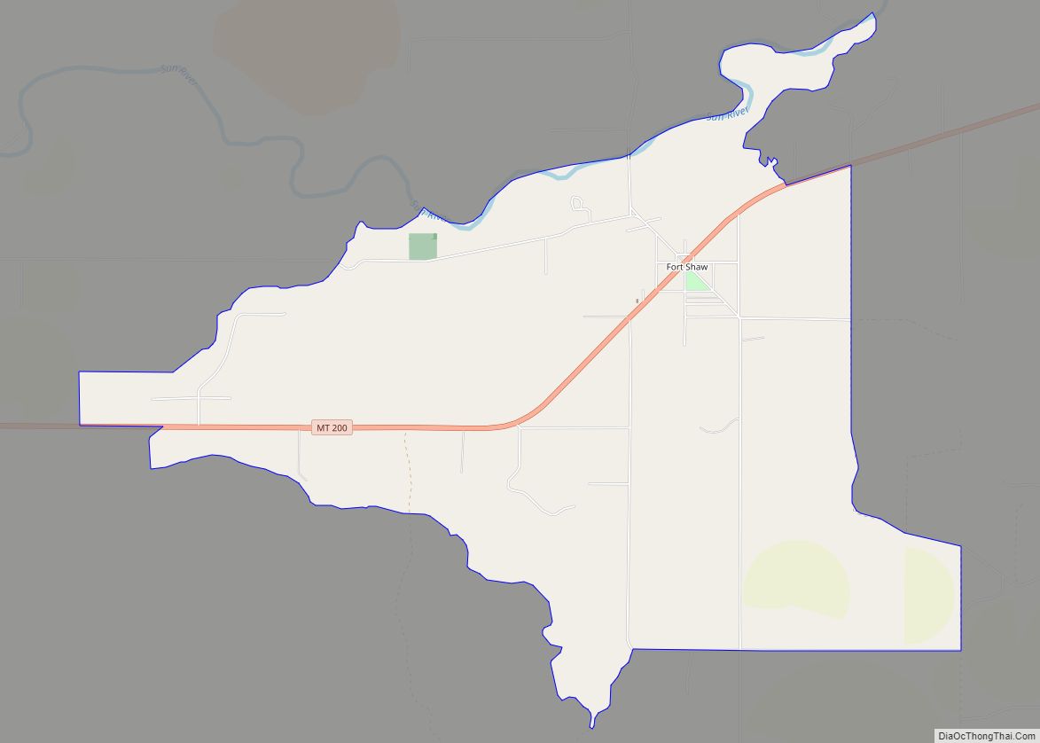
Online Interactive Map
Click on ![]() to view map in "full screen" mode.
to view map in "full screen" mode.
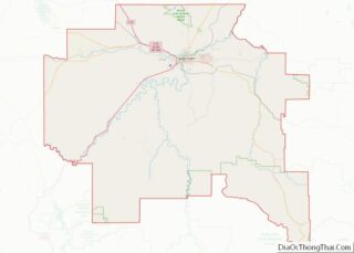
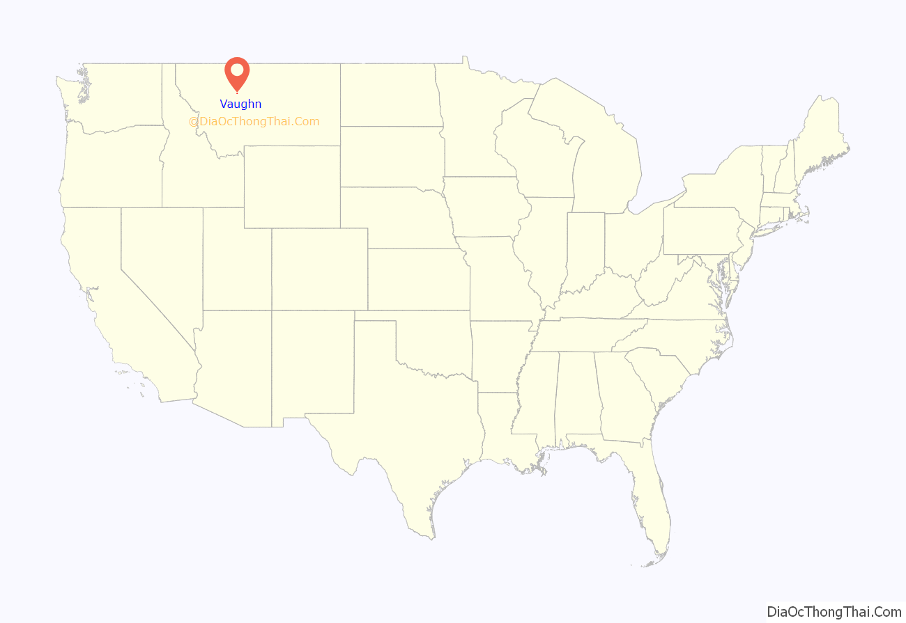
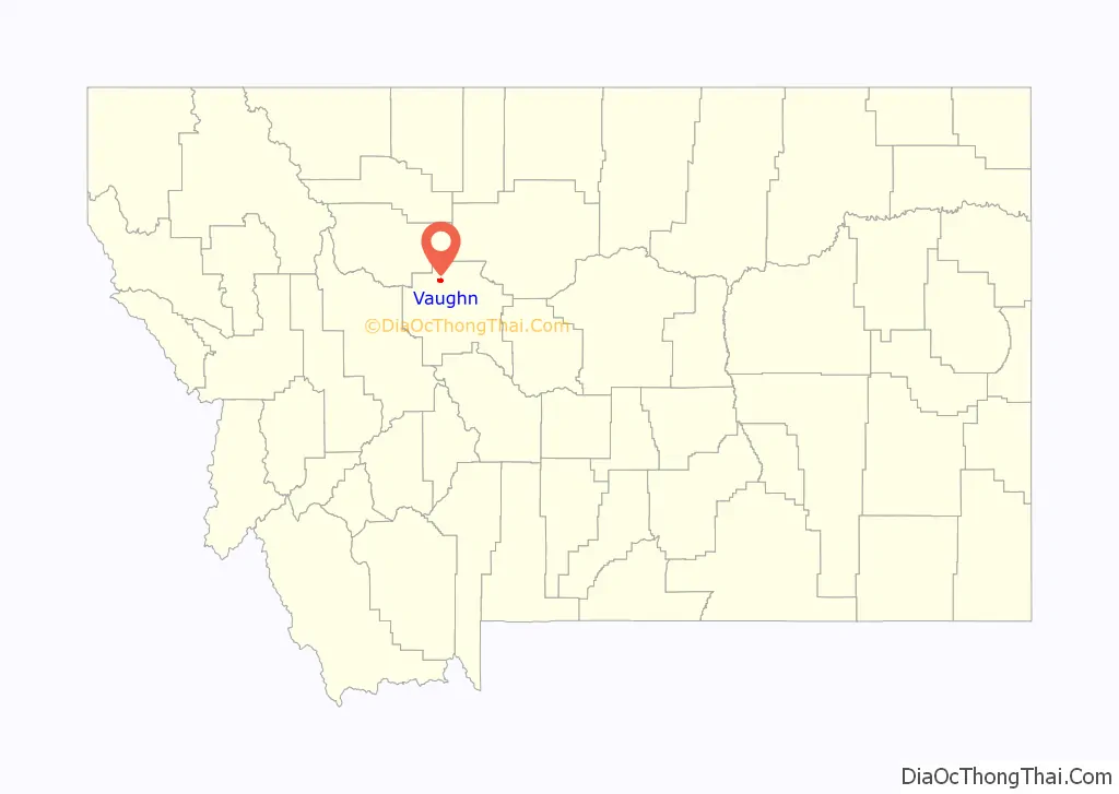
Vaughn location map. Where is Vaughn CDP?
History
While trying to make his fortune gold mining in Nelson Gulch near what is now Helena, Montana, Welsh American immigrant Robert Vaughn became convinced that Montana was excellent ranching and farming country. In the fall of 1869, he traveled into Chouteau County, Montana, which at the time covered nearly a sixth of the state. About 9 miles (14 km) upstream from where the Sun River joined the Missouri River, he decided to homestead. He returned to Helena and filed paperwork to claim the land, and learned he was the first individual to formally file for a homestead in Chouteau County. Although Vaughn started out farming, he quickly turned to ranching. He imported a large number of pure-bred cattle and horses, and his horses were some of the best in the state.
Vaughn’s young wife, Elizabeth, died of complications from childbirth on January 13, 1888. Devastated by her death, Vaughn determined to sell his ranch and move into nearby Great Falls. Vaughn sold his ranch in 1890 to “Captain” Thomas Couch, a Cornish immigrant and expert miner who managed the Boston and Montana Consolidated Copper and Silver Mining Company in Great Falls.
In 1890, the North Western Coal and Navigation Company constructed the Great Falls & Canada Railway, a narrow gauge railway (3-foot (0.91 m)) which ran from Sweet Grass, Montana (at the Canada–US border) to a terminus adjacent to the Robert Vaughn Ranch. Designed to carry coal to Lethbridge, Alberta, the railroad was dubbed the “Turkey Trail”. The railroad led to settlement around the terminus, and in 1910 Couch platted a town there. This town he named Vaughn, after Robert Vaughn.
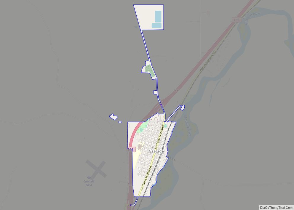
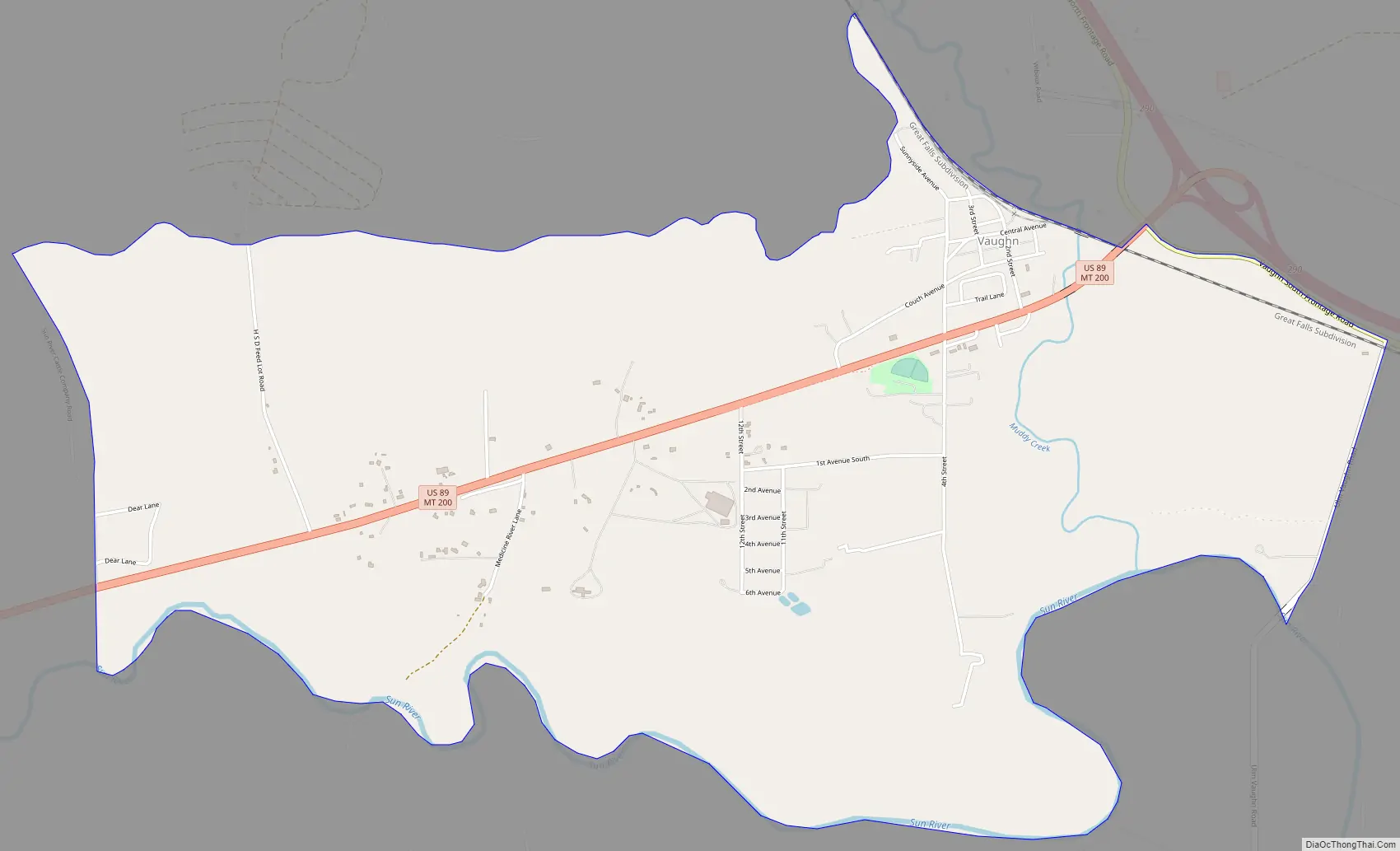
Vaughn Road Map
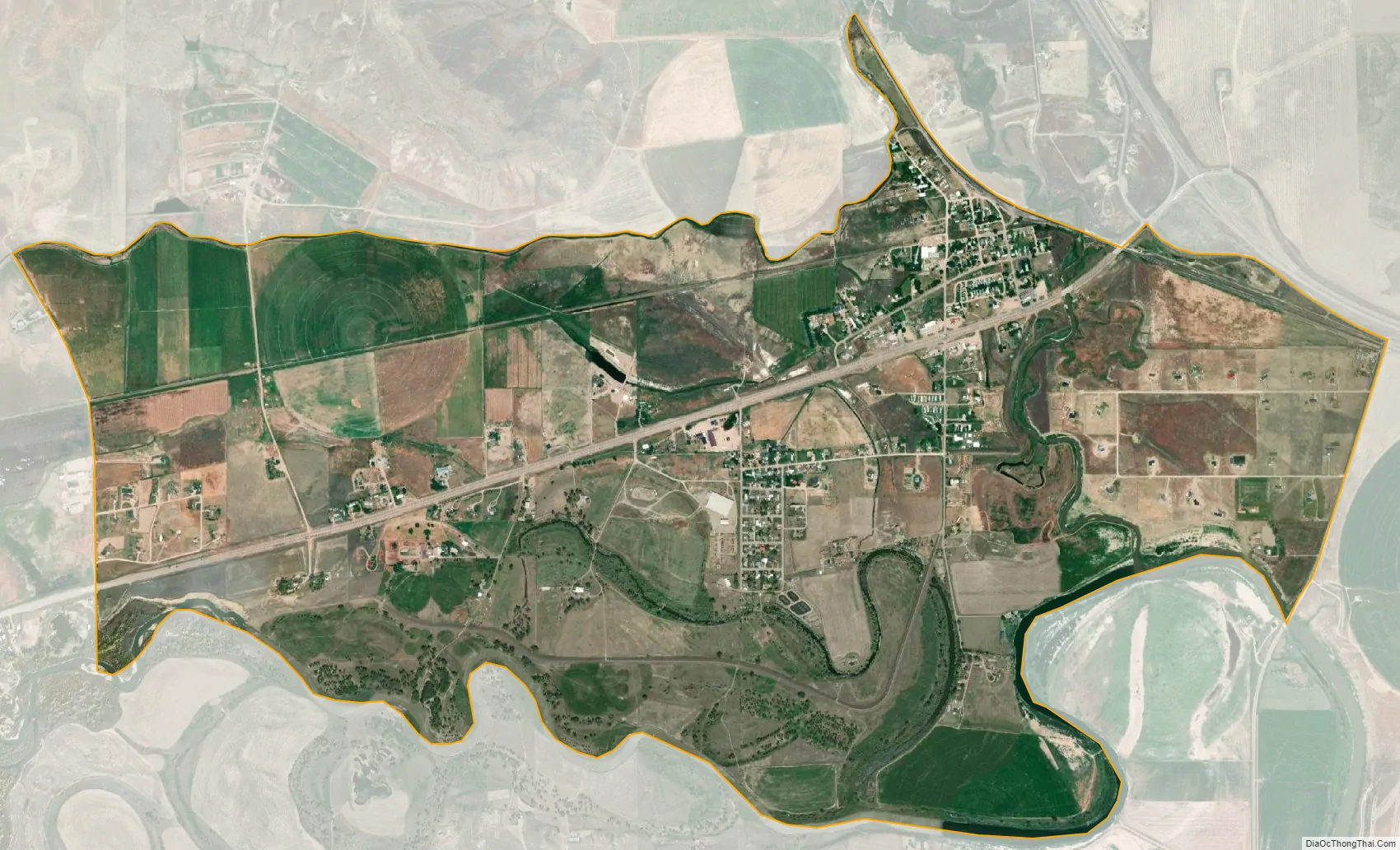
Vaughn city Satellite Map
Geography
Vaughn is located at 47°33′26″N 111°33′5″W / 47.55722°N 111.55139°W / 47.55722; -111.55139 (47.557240, -111.551522). U.S. Route 89 cuts through town. It can be reached by exit 290 on Interstate 15. The Sun River flows south of town.
According to the United States Census Bureau, the CDP has a total area of 3.5 square miles (9.1 km), all land.
See also
Map of Montana State and its subdivision:- Beaverhead
- Big Horn
- Blaine
- Broadwater
- Carbon
- Carter
- Cascade
- Chouteau
- Custer
- Daniels
- Dawson
- Deer Lodge
- Fallon
- Fergus
- Flathead
- Gallatin
- Garfield
- Glacier
- Golden Valley
- Granite
- Hill
- Jefferson
- Judith Basin
- Lake
- Lewis and Clark
- Liberty
- Lincoln
- Madison
- McCone
- Meagher
- Mineral
- Missoula
- Musselshell
- Park
- Petroleum
- Phillips
- Pondera
- Powder River
- Powell
- Prairie
- Ravalli
- Richland
- Roosevelt
- Rosebud
- Sanders
- Sheridan
- Silver Bow
- Stillwater
- Sweet Grass
- Teton
- Toole
- Treasure
- Valley
- Wheatland
- Wibaux
- Yellowstone
- Alabama
- Alaska
- Arizona
- Arkansas
- California
- Colorado
- Connecticut
- Delaware
- District of Columbia
- Florida
- Georgia
- Hawaii
- Idaho
- Illinois
- Indiana
- Iowa
- Kansas
- Kentucky
- Louisiana
- Maine
- Maryland
- Massachusetts
- Michigan
- Minnesota
- Mississippi
- Missouri
- Montana
- Nebraska
- Nevada
- New Hampshire
- New Jersey
- New Mexico
- New York
- North Carolina
- North Dakota
- Ohio
- Oklahoma
- Oregon
- Pennsylvania
- Rhode Island
- South Carolina
- South Dakota
- Tennessee
- Texas
- Utah
- Vermont
- Virginia
- Washington
- West Virginia
- Wisconsin
- Wyoming