Map of Virginia City town, Montana
Virginia City is a town in and the county seat of Madison County, Montana, United States. In 1961 the town and the surrounding area were designated a National Historic Landmark District, the Virginia City Historic District. The population was 219 at the 2020 census. Virginia City town overview: Name: Virginia City town LSAD Code: 43 ... Read more
Map of Virginia City town, Montana
Map of Victor CDP, Montana
Victor is a census-designated place (CDP) in Ravalli County, Montana, United States. The population was 745 at the 2010 census. Victor CDP overview: Name: Victor CDP LSAD Code: 57 LSAD Description: CDP (suffix) State: Montana County: Ravalli County Elevation: 3,415 ft (1,041 m) Total Area: 0.45 sq mi (1.16 km²) Land Area: 0.45 sq mi (1.16 km²) Water Area: 0.00 sq mi (0.00 km²) Total Population: ... Read more
Map of Victor CDP, Montana
Map of Vaughn CDP, Montana
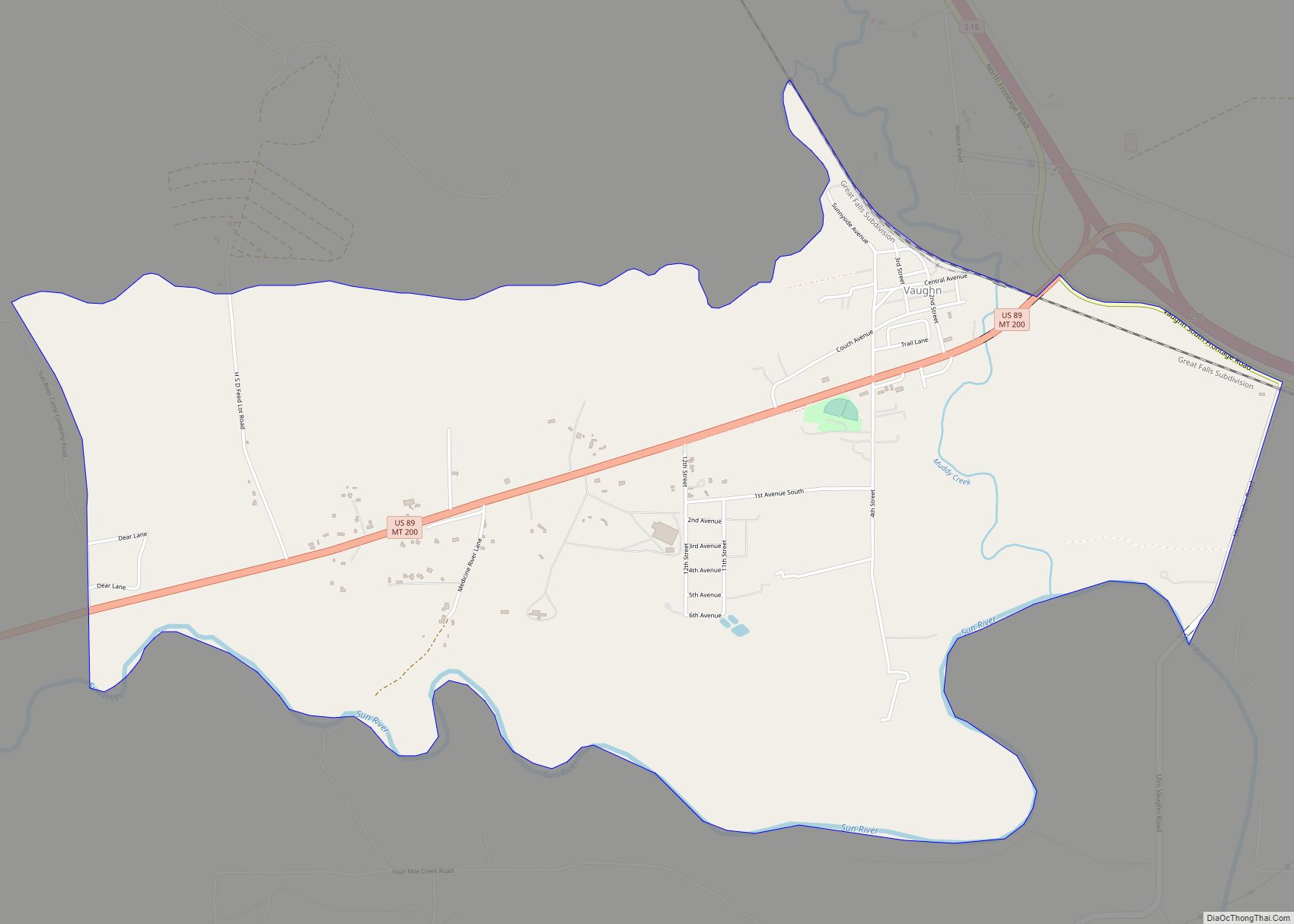
Vaughn is a census-designated place (CDP) in Cascade County, Montana, United States. The population was 658 at the 2010 census. It is part of the Great Falls, Montana Metropolitan Statistical Area. It is named for Montana pioneer Robert Vaughn, whose homestead on the Vaughn Ranch encompassed part of the town. Vaughn CDP overview: Name: Vaughn ... Read more
Map of Vaughn CDP, Montana
Map of Valier town, Montana
Valier is a town in Pondera County, Montana, United States. The population was 530 at the 2020 census. Valier town overview: Name: Valier town LSAD Code: 43 LSAD Description: town (suffix) State: Montana County: Pondera County Elevation: 3,816 ft (1,163 m) Total Area: 0.86 sq mi (2.24 km²) Land Area: 0.86 sq mi (2.24 km²) Water Area: 0.00 sq mi (0.00 km²) Total Population: 530 Population ... Read more
Map of Valier town, Montana
Map of White Sulphur Springs city, Montana
White Sulphur Springs is a city in and the county seat of Meagher County, Montana, United States. The population was 955 at the 2020 census. The center of population of Montana is located in White Sulphur Springs. White Sulphur Springs was originally called Brewers Springs, after James Scott Brewer, who laid claim to the thermal ... Read more
Map of White Sulphur Springs city, Montana
Map of White Haven CDP, Montana
White Haven is an unincorporated community and census-designated place (CDP) in Lincoln County, Montana, United States. The population was 577 at the 2010 census. White Haven CDP overview: Name: White Haven CDP LSAD Code: 57 LSAD Description: CDP (suffix) State: Montana County: Lincoln County Elevation: 2,228 ft (679 m) Total Area: 0.99 sq mi (2.56 km²) Land Area: 0.99 sq mi (2.56 km²) ... Read more
Map of White Haven CDP, Montana
Map of Wheatland CDP, Montana
Wheatland is a census-designated place (CDP) in Broadwater County, Montana, United States. The population was 568 according to the 2010 census. Wheatland CDP overview: Name: Wheatland CDP LSAD Code: 57 LSAD Description: CDP (suffix) State: Montana County: Broadwater County Elevation: 4,341 ft (1,323 m) Total Area: 74.80 sq mi (193.72 km²) Land Area: 74.45 sq mi (192.83 km²) Water Area: 0.34 sq mi (0.89 km²) Total ... Read more
Map of Wheatland CDP, Montana
Map of Westby town, Montana
Westby is a town in Sheridan County, Montana, United States. The population was 167 at the 2020 census. Westby town overview: Name: Westby town LSAD Code: 43 LSAD Description: town (suffix) State: Montana County: Sheridan County Elevation: 2,103 ft (641 m) Total Area: 0.57 sq mi (1.48 km²) Land Area: 0.56 sq mi (1.46 km²) Water Area: 0.01 sq mi (0.02 km²) Total Population: 167 Population ... Read more
Map of Westby town, Montana
Map of West Yellowstone town
West Yellowstone is a town in Gallatin County, Montana, United States, adjacent to Yellowstone National Park. The population was 1,272 at the 2020 census. West Yellowstone is served by Yellowstone Airport. It is part of the Bozeman, MT Micropolitan Statistical Area. West Yellowstone offers lodging, gift shops, and other services to travelers visiting nearby Yellowstone ... Read more
Map of West Yellowstone town
Map of Willow Creek CDP, Montana
Willow Creek is a census-designated place (CDP) in Gallatin County, Montana, United States. The population was 210 at the 2010 census. It is part of the Bozeman, MT Micropolitan Statistical Area. Willow Creek CDP overview: Name: Willow Creek CDP LSAD Code: 57 LSAD Description: CDP (suffix) State: Montana County: Gallatin County Elevation: 4,173 ft (1,272 m) Total ... Read more
Map of Willow Creek CDP, Montana
Map of Wibaux town
Wibaux (/ˈwiːboʊ/ WEE-boh) is a town in and the county seat of Wibaux County, Montana, United States. It is the only incorporated town in Wibaux County. The population was 589 at the 2020 census. Wibaux town overview: Name: Wibaux town LSAD Code: 43 LSAD Description: town (suffix) State: Montana County: Wibaux County Elevation: 2,654 ft (809 m) ... Read more
Map of Wibaux town
Map of Whitewater CDP, Montana
Whitewater is a census-designated place and unincorporated community in Phillips County, Montana, United States. Its population was 64 as of the 2010 census. Whitewater has a post office with ZIP code 59544. In 1927, the town moved about 7 miles west to be on the new Great Northern Railway branch line. Whitewater CDP overview: Name: ... Read more
Map of Whitewater CDP, Montana