West Yellowstone is a town in Gallatin County, Montana, United States, adjacent to Yellowstone National Park. The population was 1,272 at the 2020 census. West Yellowstone is served by Yellowstone Airport. It is part of the Bozeman, MT Micropolitan Statistical Area.
West Yellowstone offers lodging, gift shops, and other services to travelers visiting nearby Yellowstone National Park.
| Name: | West Yellowstone town |
|---|---|
| LSAD Code: | 43 |
| LSAD Description: | town (suffix) |
| State: | Montana |
| County: | Gallatin County |
| Incorporated: | June 6, 1966 |
| Elevation: | 6,664 ft (2,031 m) |
| Total Area: | 0.91 sq mi (2.35 km²) |
| Land Area: | 0.91 sq mi (2.35 km²) |
| Water Area: | 0.00 sq mi (0.00 km²) |
| Total Population: | 1,272 |
| Population Density: | 1,400.88/sq mi (541.10/km²) |
| ZIP code: | 59758 |
| Area code: | 406 |
| FIPS code: | 3079525 |
| Website: | www.townofwestyellowstone.com |
Online Interactive Map
Click on ![]() to view map in "full screen" mode.
to view map in "full screen" mode.
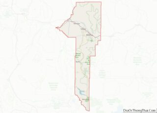
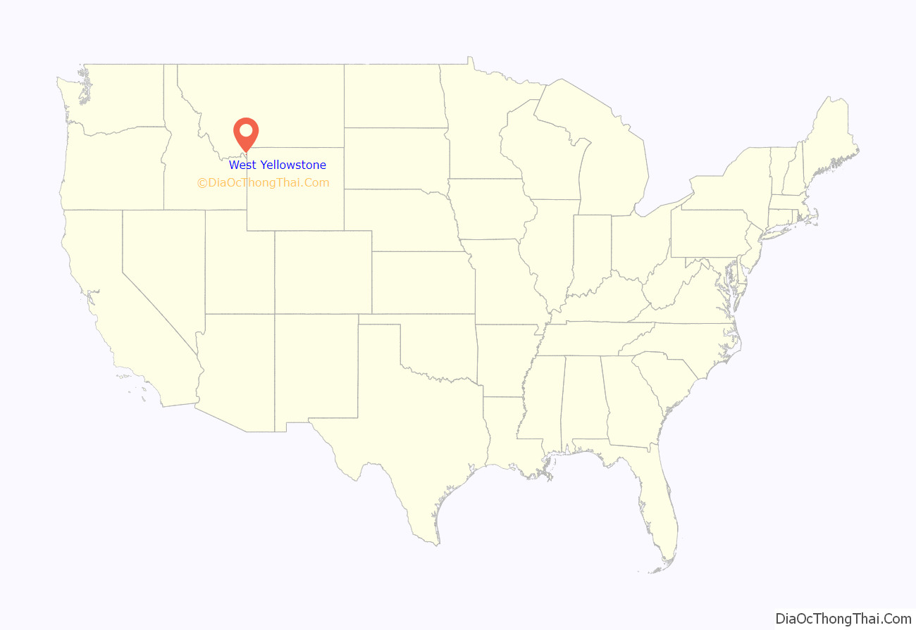
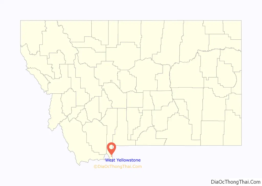
West Yellowstone location map. Where is West Yellowstone town?
History
Founded in June 1908 when the Oregon Short Line Railroad was completed, the town’s name changed several times until West Yellowstone was settled upon in 1920. Train service to West Yellowstone ended in 1960. The town was incorporated in 1966.
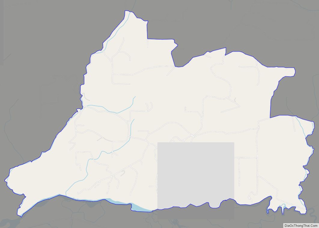
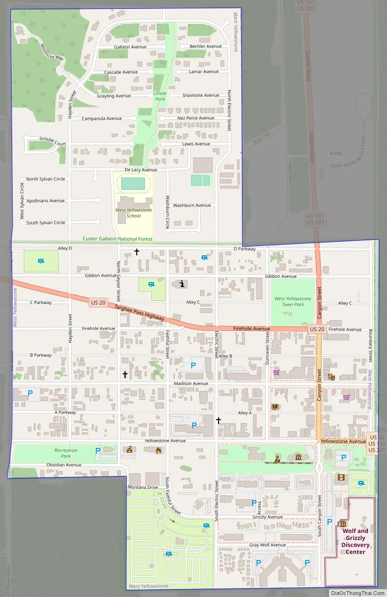
West Yellowstone Road Map
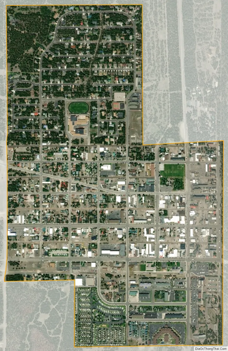
West Yellowstone city Satellite Map
Geography
According to the United States Census Bureau, the town has a total area of 0.80 square miles (2.07 km), all land.
Climate
At almost 7,000 feet above sea level and almost exactly halfway between the equator and the North Pole, West Yellowstone experiences a subarctic climate (Köppen climate classification Dfc), with cold — sometimes bitterly cold — winters and brief but generally warm summers. West Yellowstone is snow-covered from the beginning of November until the beginning of May. At the peak of the snowpack, which typically occurs in early March, there are 3.5 – 4 feet of snow on the ground. In 2007-2008, West Yellowstone had snow on the ground from late October until mid May, with 4.5 feet of snow by late March. During the summer, the average low is 41 °F (5 °C), and the average high is 78 °F (26 °C). During the coldest month, January, the average low is 0 °F (−18 °C), and the average high is 24 °F (−4 °C).
West Yellowstone holds the all-time lowest recorded temperature for any residential community in the contiguous United States at −66 °F (−54 °C), although a lower temperature was once recorded at Rogers Pass, Montana, at −70 °F (−57 °C).
See also
Map of Montana State and its subdivision:- Beaverhead
- Big Horn
- Blaine
- Broadwater
- Carbon
- Carter
- Cascade
- Chouteau
- Custer
- Daniels
- Dawson
- Deer Lodge
- Fallon
- Fergus
- Flathead
- Gallatin
- Garfield
- Glacier
- Golden Valley
- Granite
- Hill
- Jefferson
- Judith Basin
- Lake
- Lewis and Clark
- Liberty
- Lincoln
- Madison
- McCone
- Meagher
- Mineral
- Missoula
- Musselshell
- Park
- Petroleum
- Phillips
- Pondera
- Powder River
- Powell
- Prairie
- Ravalli
- Richland
- Roosevelt
- Rosebud
- Sanders
- Sheridan
- Silver Bow
- Stillwater
- Sweet Grass
- Teton
- Toole
- Treasure
- Valley
- Wheatland
- Wibaux
- Yellowstone
- Alabama
- Alaska
- Arizona
- Arkansas
- California
- Colorado
- Connecticut
- Delaware
- District of Columbia
- Florida
- Georgia
- Hawaii
- Idaho
- Illinois
- Indiana
- Iowa
- Kansas
- Kentucky
- Louisiana
- Maine
- Maryland
- Massachusetts
- Michigan
- Minnesota
- Mississippi
- Missouri
- Montana
- Nebraska
- Nevada
- New Hampshire
- New Jersey
- New Mexico
- New York
- North Carolina
- North Dakota
- Ohio
- Oklahoma
- Oregon
- Pennsylvania
- Rhode Island
- South Carolina
- South Dakota
- Tennessee
- Texas
- Utah
- Vermont
- Virginia
- Washington
- West Virginia
- Wisconsin
- Wyoming