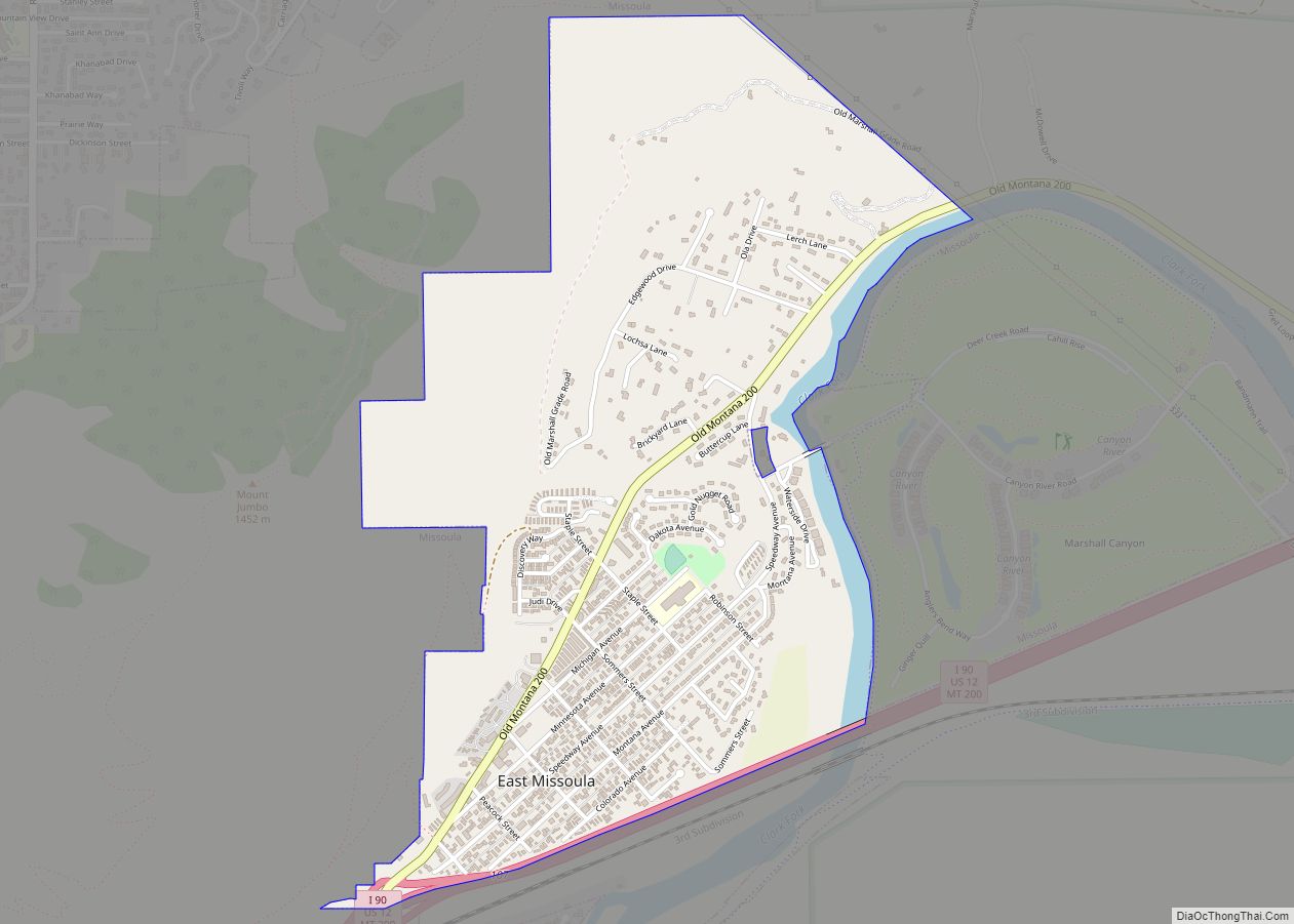
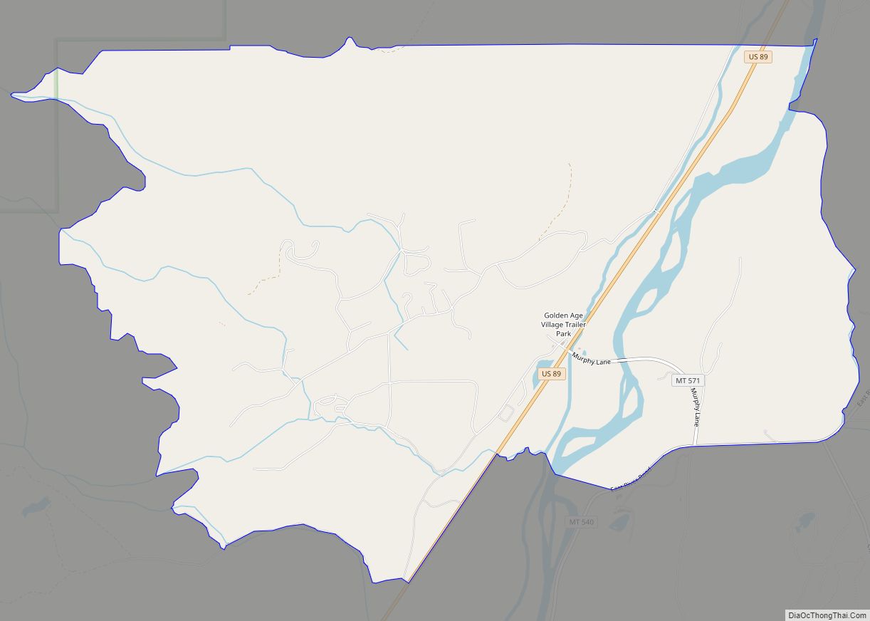
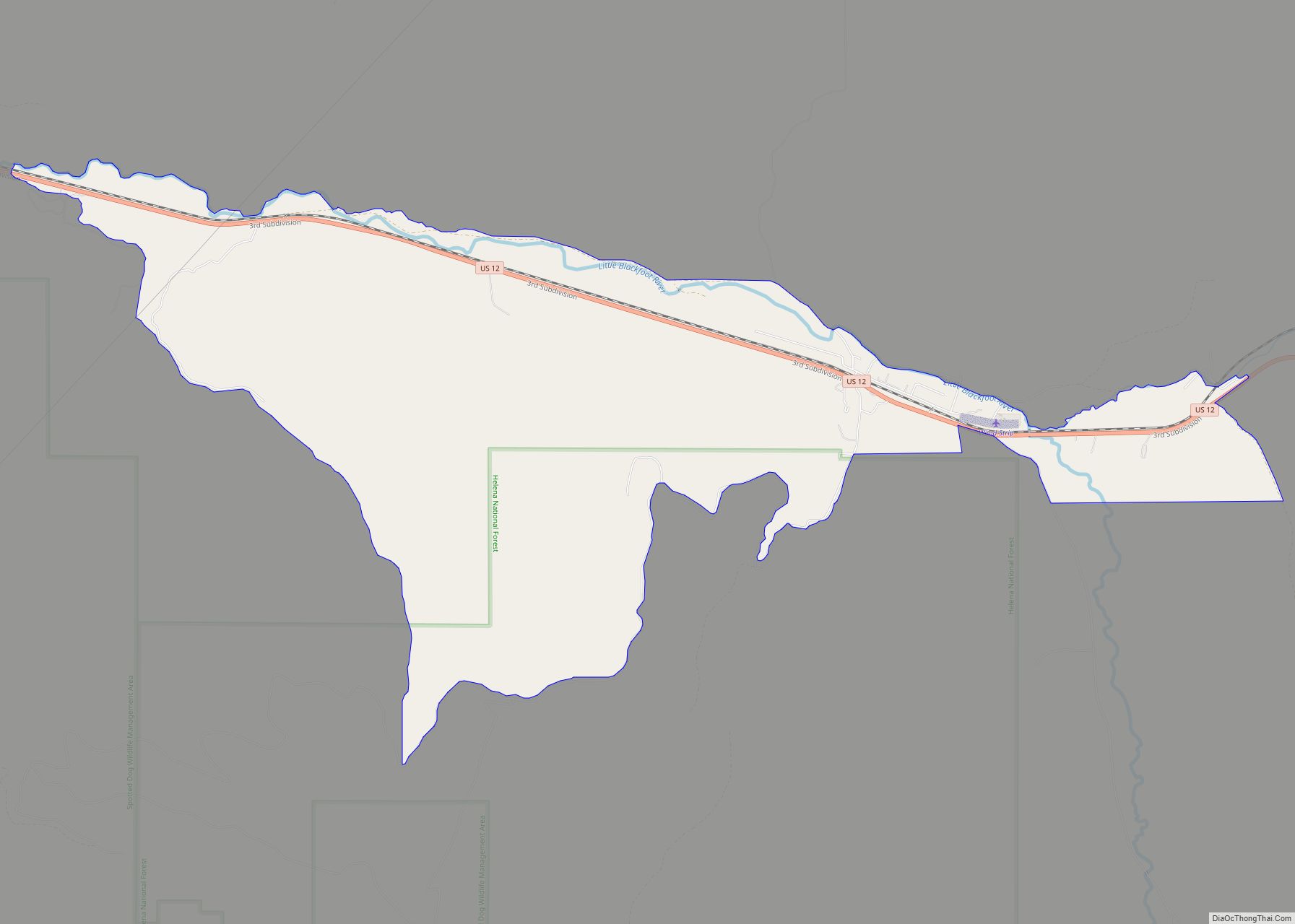
East Missoula is a census-designated place (CDP) in Missoula County, Montana, United States. It is part of the ‘Missoula, Montana Metropolitan Statistical Area’. The population was 2,157 at the 2010 census, an increase from its population of 2,070 in 2000. East Missoula CDP overview: Name: East Missoula CDP LSAD Code: 57 LSAD Description: CDP (suffix) ... Read more
Montana Cities and Places
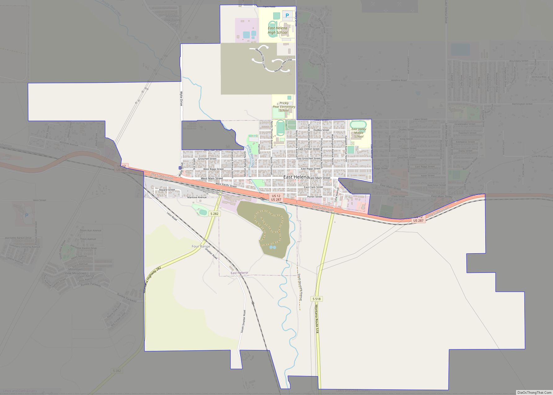
East Helena is a city in Lewis and Clark County, Montana, United States, approximately 5 miles (8 km) east of downtown Helena. The population was 1,944 at the 2020 census. It is part of the Helena Micropolitan Statistical Area, which includes all of Lewis and Clark and Jefferson counties; its population is 83,058 according to the ... Read more
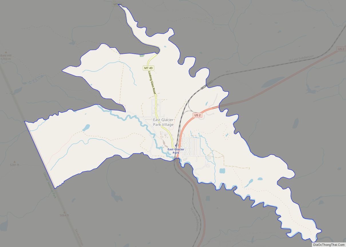
East Glacier Park Village CDP overview: Name: East Glacier Park Village CDP LSAD Code: 57 LSAD Description: CDP (suffix) State: Montana County: Glacier County FIPS code: 3022985 Online Interactive Map East Glacier Park Village online map. Source: Basemap layers from Google Map, Open Street Map (OSM), Arcgisonline, Wmflabs. Boundary Data from Database of Global Administrative ... Read more
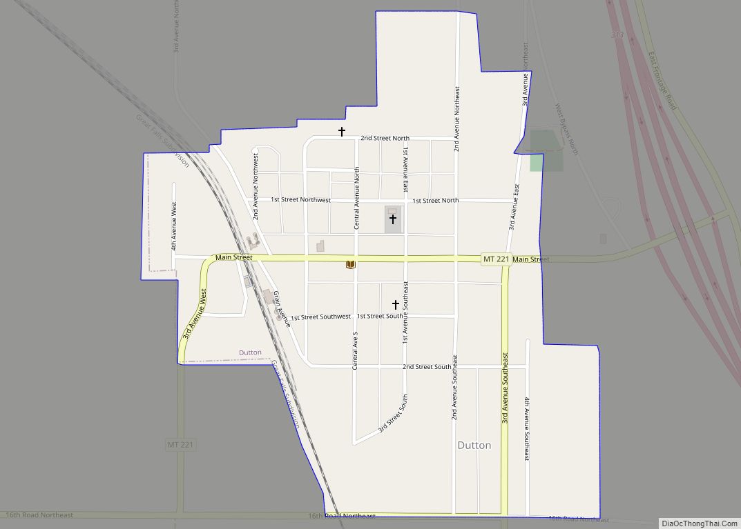
Dutton is a town in Teton County, Montana, United States. The population was 303 at the 2020 census. It is considered the Wheat Capital of Montana and is located in the Golden Triangle region. The town was named for Charles E. Dutton, a general agent for Great Northern Railway. Dutton town overview: Name: Dutton town ... Read more
Emigrant is an unincorporated community in Park County, Montana, United States. As of the 2010 census, the ZIP Code Tabulation Area (59027) for Emigrant had a population of 372. Emigrant is located in southern Montana, on the Yellowstone River, approximately 30 miles (48 km) north of Yellowstone National Park, and 20 miles (32 km) south of Livingston. ... Read more
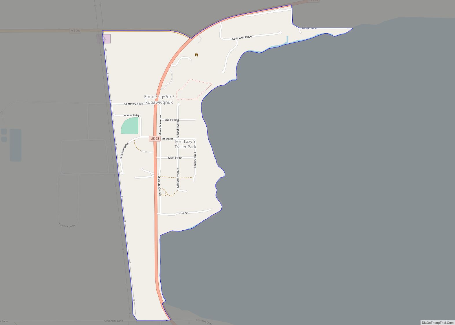
Elmo (Salish: sqʷʔeʔ, Kutenai: k̓upawi¢q̓nuk) is a census-designated place (CDP) in Lake County, Montana, United States. The population was 180 at the 2010 census, up from 143 in 2000. The townsite was platted in 1917. Elmo had a dock and warehouse that served boat traffic on Flathead Lake. Elmo CDP overview: Name: Elmo CDP LSAD ... Read more
Elliston is a census-designated place (CDP) in Powell County, Montana, United States. The population was 225 at the 2000 census. The town is most likely named after Northern Pacific Railroad director John W. Ellis. By the mid-1880s, Elliston was flourishing as a center for gold and quartz mining. Elliston CDP overview: Name: Elliston CDP LSAD ... Read more
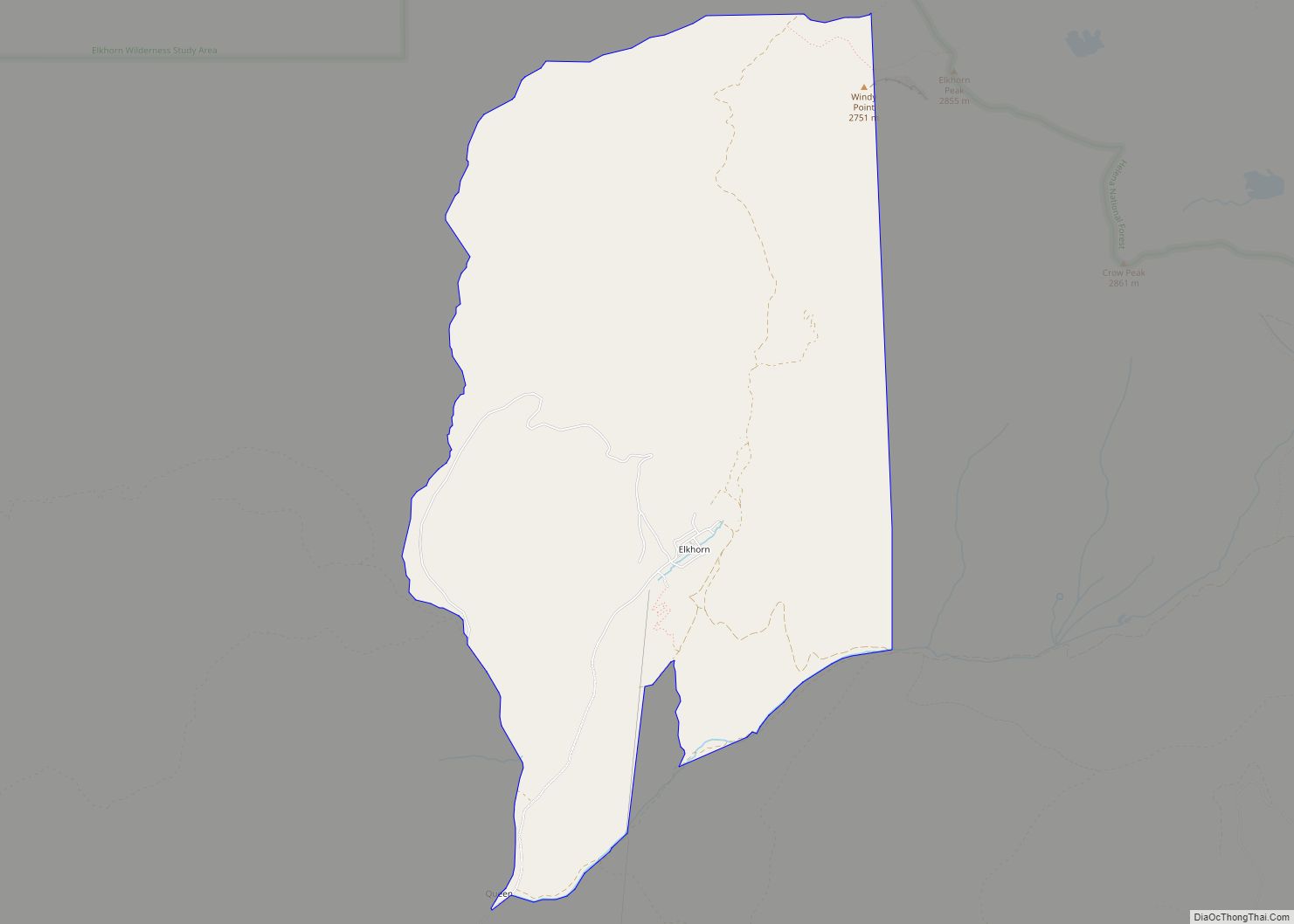
Elkhorn is a census-designated place (CDP) in Jefferson County, Montana, United States, in the Elkhorn Mountains of the southwestern part of the state. As of the 2010 census it had a population of 10. The community is considered a ghost town, and two of its buildings are preserved as Elkhorn State Park. Elkhorn CDP overview: ... Read more
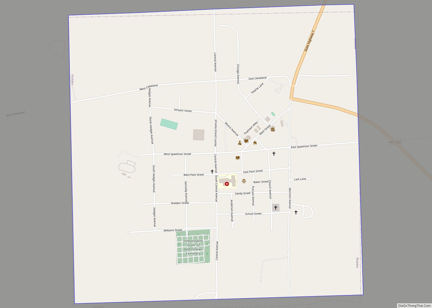
Ekalaka is a town in and the county seat of Carter County, Montana, United States. The population was 399 at the 2020 census. Ekalaka town overview: Name: Ekalaka town LSAD Code: 43 LSAD Description: town (suffix) State: Montana County: Carter County Elevation: 3,425 ft (1,044 m) Total Area: 1.03 sq mi (2.67 km²) Land Area: 1.03 sq mi (2.67 km²) Water Area: 0.00 sq mi ... Read more
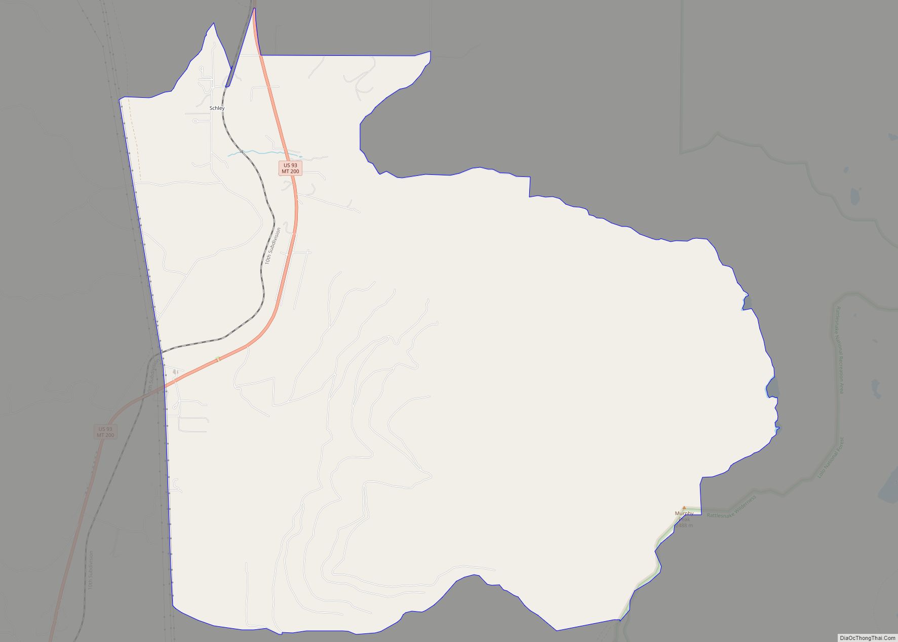
Evaro is a census-designated place (CDP) in Missoula County, Montana, United States, and part of the Missoula Metropolitan Statistical Area. It is located on the southernmost tip of the Flathead Indian Reservation, approximately 12 miles (19 km) north of downtown Missoula and is served by US Highway 93. In 2010, Evaro had a population of 322, ... Read more
Eureka (Kutenai: ʔa·knuk̓inʔis) is a town in Lincoln County, Montana, United States, 9 miles (14 km) south of the Canada–US border. The population was 1,380 at the 2020 census. The town’s mayor is LeeAnn Schermerhorn. Eureka town overview: Name: Eureka town LSAD Code: 43 LSAD Description: town (suffix) State: Montana County: Lincoln County Elevation: 2,582 ft (787 m) ... Read more
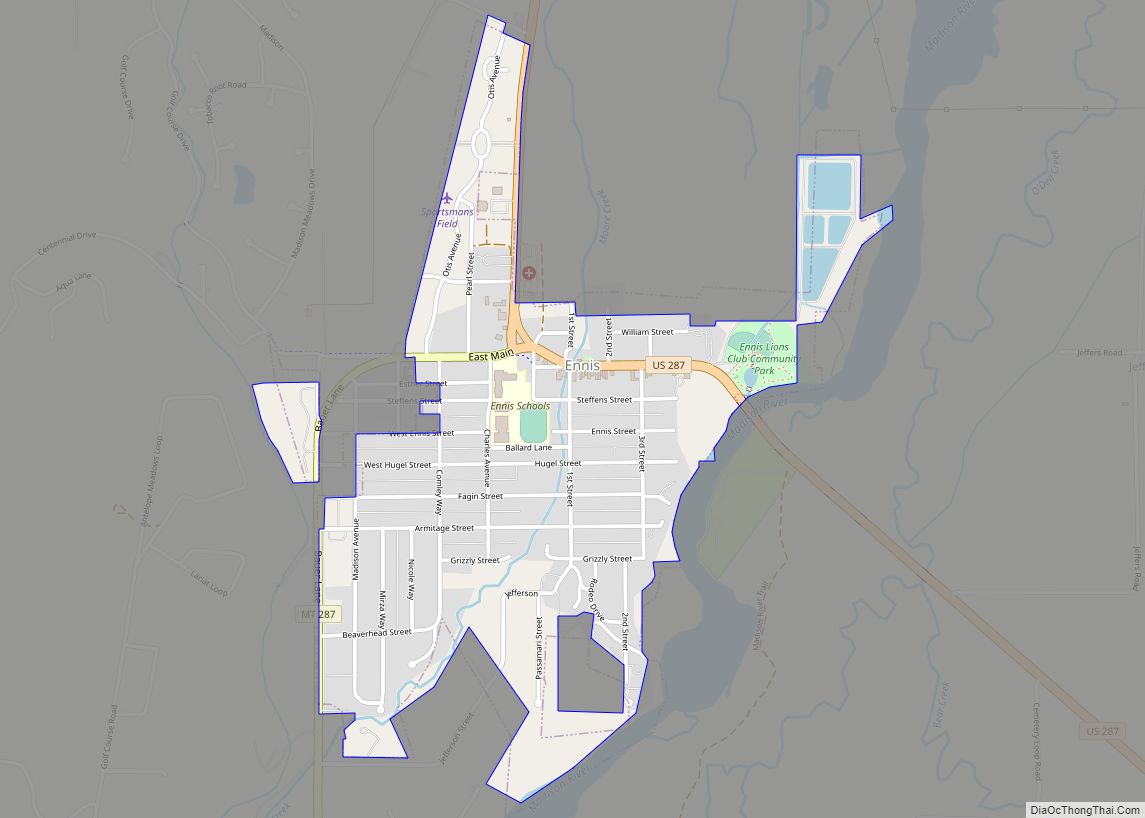
Ennis is a town in Madison County, Montana, United States, in the southwestern part of the state. The population was 917 at the 2020 census. U.S. Route 287 runs through town, following the Madison River as it descends from the town of West Yellowstone. Ennis town overview: Name: Ennis town LSAD Code: 43 LSAD Description: ... Read more
