Eureka (Kutenai: ʔa·knuk̓inʔis) is a town in Lincoln County, Montana, United States, 9 miles (14 km) south of the Canada–US border. The population was 1,380 at the 2020 census. The town’s mayor is LeeAnn Schermerhorn.
| Name: | Eureka town |
|---|---|
| LSAD Code: | 43 |
| LSAD Description: | town (suffix) |
| State: | Montana |
| County: | Lincoln County |
| Elevation: | 2,582 ft (787 m) |
| Total Area: | 1.33 sq mi (3.43 km²) |
| Land Area: | 1.33 sq mi (3.43 km²) |
| Water Area: | 0.00 sq mi (0.00 km²) |
| Total Population: | 1,380 |
| Population Density: | 1,040.72/sq mi (401.76/km²) |
| ZIP code: | 59917 |
| Area code: | 406 |
| FIPS code: | 3024850 |
| GNISfeature ID: | 0783241 |
| Website: | www.eureka-mt.gov |
Online Interactive Map
Click on ![]() to view map in "full screen" mode.
to view map in "full screen" mode.
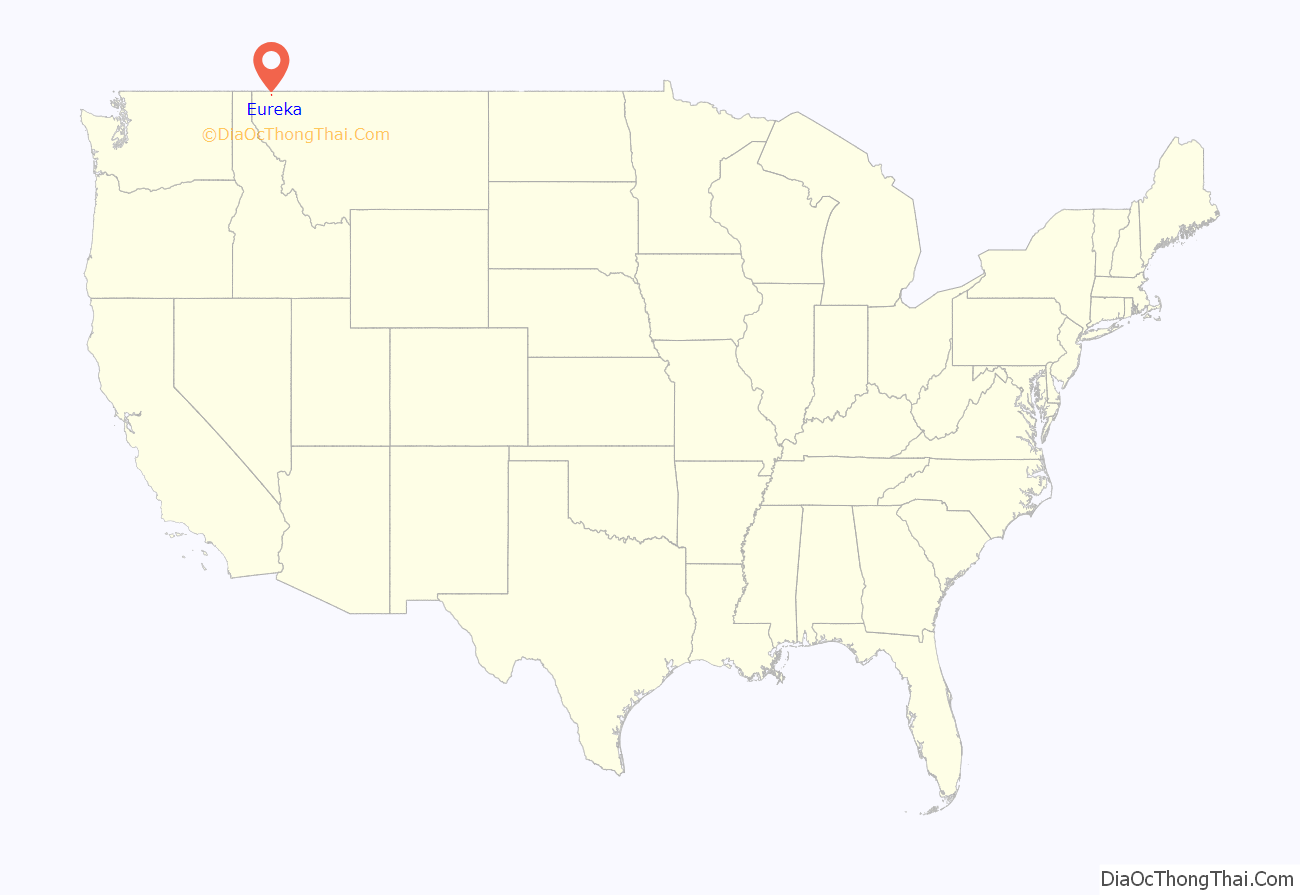
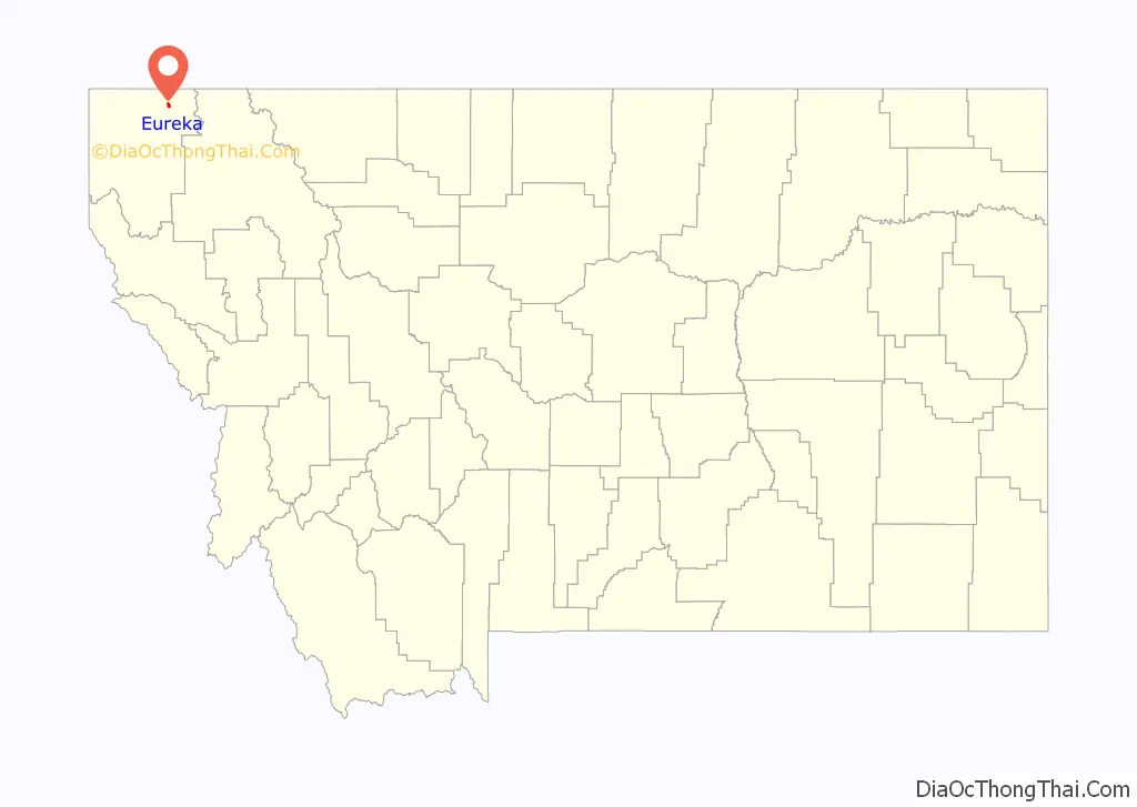
Eureka location map. Where is Eureka town?
History
Eureka was founded in the early 1880s as settlers moved north from Missoula and south from Canada and was originally known as Deweyville. It was one of the last areas to be developed in Montana in frontier times, and logging was a major draw and source of income for decades. Eureka was once known as the “Christmas Tree Capital of the World,” with evergreens shipped to many urban points for holiday sales.
The Canadian fur-trapper and explorer David Thompson visited the area in the early 19th Century during his searches for a route to the Pacific Ocean. Early explorers, finding Indians there growing a native strain of tobacco, named it the Tobacco Plains. In the late 1970s, Eurekans began a “Tobacco Valley Rendezvous” every year in April to commemorate Thompson’s visit.
President Harry S. Truman gave a speech in Eureka on October 1, 1952 as part of a whistle-stop tour in support of Adlai Stevenson’s ultimately unsuccessful presidential campaign.
Eureka is home of Lincoln County High School and each August the Lincoln County Fair.
Actor John McIntire, who was reared in Eureka, and his wife, actress Jeanette Nolan, along with their son, actor-musician Tim McIntire, are interred at the Tobacco Valley Cemetery in Eureka.
Registered historic sites
Eureka has two listings on the National Register of Historic Places: the Eureka Community Hall and the Farmers and Merchants State Bank.
Stewart Rhodes lived in this city for years.
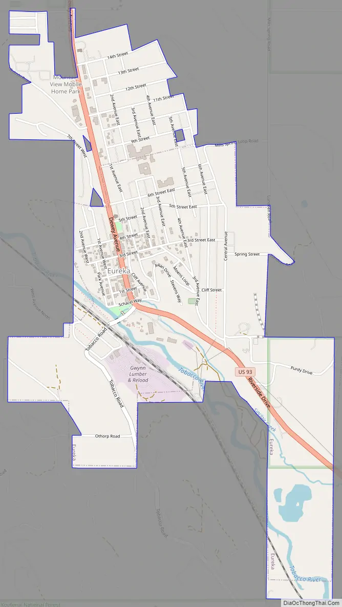
Eureka Road Map
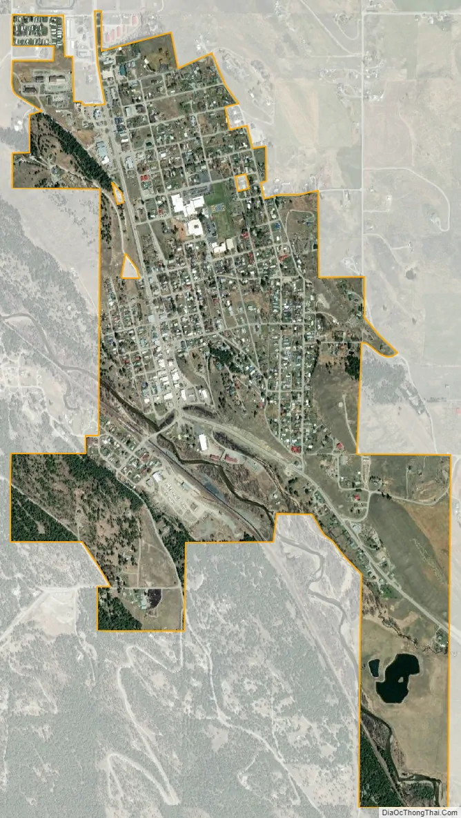
Eureka city Satellite Map
Geography
Eureka is located on the Tobacco River in an area known as the Tobacco Valley in the United States and as the Tobacco Plains in British Columbia to the north.
It is located at 48°52′49″N 115°2′58″W / 48.88028°N 115.04944°W / 48.88028; -115.04944 (48.880265, −115.049325), approximately 66 miles (106 km) from Kalispell. U.S. Route 93 passes through town. The Tobacco River flows through the western part of town.
According to the United States Census Bureau, the town has a total area of 1.01 square miles (2.62 km), all land.
See also
Map of Montana State and its subdivision:- Beaverhead
- Big Horn
- Blaine
- Broadwater
- Carbon
- Carter
- Cascade
- Chouteau
- Custer
- Daniels
- Dawson
- Deer Lodge
- Fallon
- Fergus
- Flathead
- Gallatin
- Garfield
- Glacier
- Golden Valley
- Granite
- Hill
- Jefferson
- Judith Basin
- Lake
- Lewis and Clark
- Liberty
- Lincoln
- Madison
- McCone
- Meagher
- Mineral
- Missoula
- Musselshell
- Park
- Petroleum
- Phillips
- Pondera
- Powder River
- Powell
- Prairie
- Ravalli
- Richland
- Roosevelt
- Rosebud
- Sanders
- Sheridan
- Silver Bow
- Stillwater
- Sweet Grass
- Teton
- Toole
- Treasure
- Valley
- Wheatland
- Wibaux
- Yellowstone
- Alabama
- Alaska
- Arizona
- Arkansas
- California
- Colorado
- Connecticut
- Delaware
- District of Columbia
- Florida
- Georgia
- Hawaii
- Idaho
- Illinois
- Indiana
- Iowa
- Kansas
- Kentucky
- Louisiana
- Maine
- Maryland
- Massachusetts
- Michigan
- Minnesota
- Mississippi
- Missouri
- Montana
- Nebraska
- Nevada
- New Hampshire
- New Jersey
- New Mexico
- New York
- North Carolina
- North Dakota
- Ohio
- Oklahoma
- Oregon
- Pennsylvania
- Rhode Island
- South Carolina
- South Dakota
- Tennessee
- Texas
- Utah
- Vermont
- Virginia
- Washington
- West Virginia
- Wisconsin
- Wyoming


