Evaro is a census-designated place (CDP) in Missoula County, Montana, United States, and part of the Missoula Metropolitan Statistical Area. It is located on the southernmost tip of the Flathead Indian Reservation, approximately 12 miles (19 km) north of downtown Missoula and is served by US Highway 93. In 2010, Evaro had a population of 322, a decrease from 329 in 2000.
| Name: | Evaro CDP |
|---|---|
| LSAD Code: | 57 |
| LSAD Description: | CDP (suffix) |
| State: | Montana |
| County: | Missoula County |
| Elevation: | 3,960 ft (1,207 m) |
| Total Area: | 17.16 sq mi (44.45 km²) |
| Land Area: | 17.16 sq mi (44.43 km²) |
| Water Area: | 0.01 sq mi (0.01 km²) |
| Total Population: | 373 |
| Population Density: | 21.74/sq mi (8.40/km²) |
| ZIP code: | 59801 |
| Area code: | 406 |
| FIPS code: | 3025000 |
| GNISfeature ID: | 0783256 |
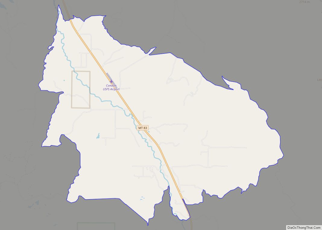
Online Interactive Map
Click on ![]() to view map in "full screen" mode.
to view map in "full screen" mode.
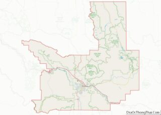
Evaro location map. Where is Evaro CDP?


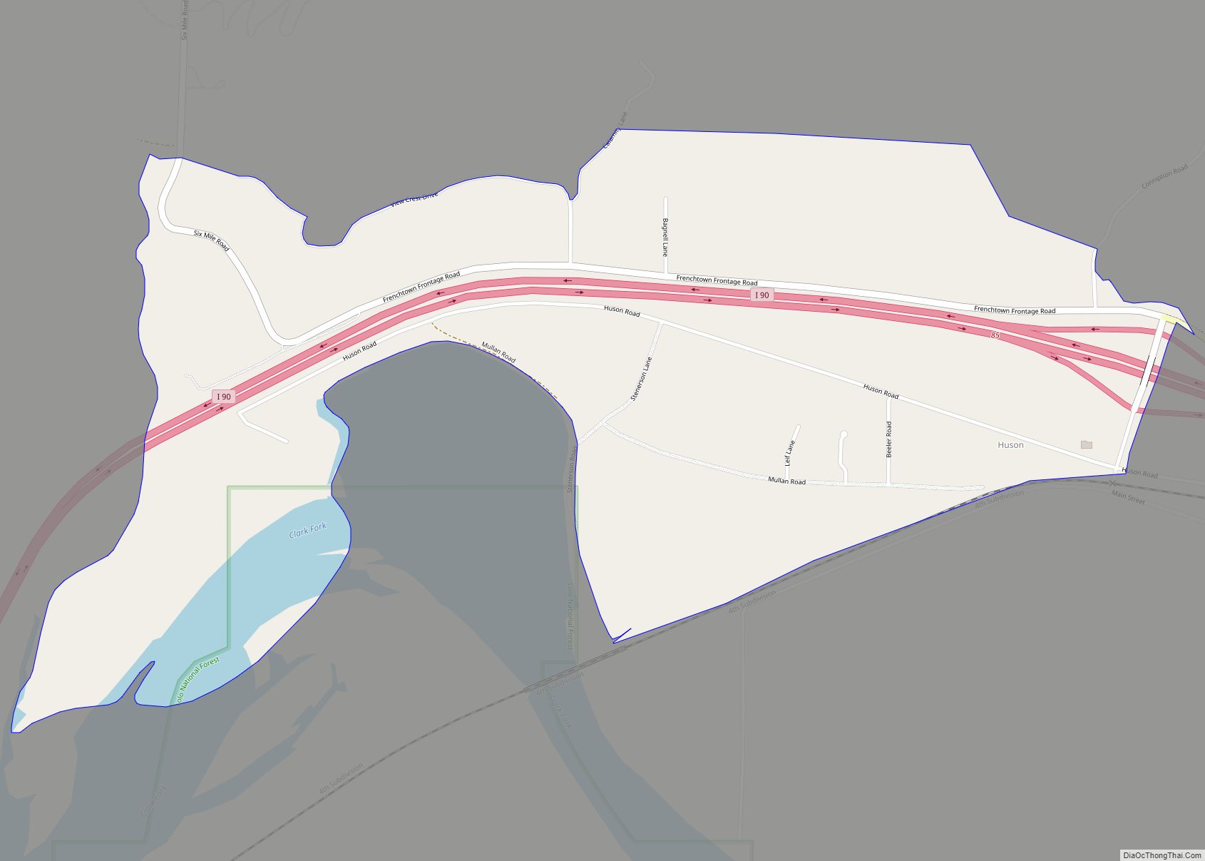
Evaro Road Map
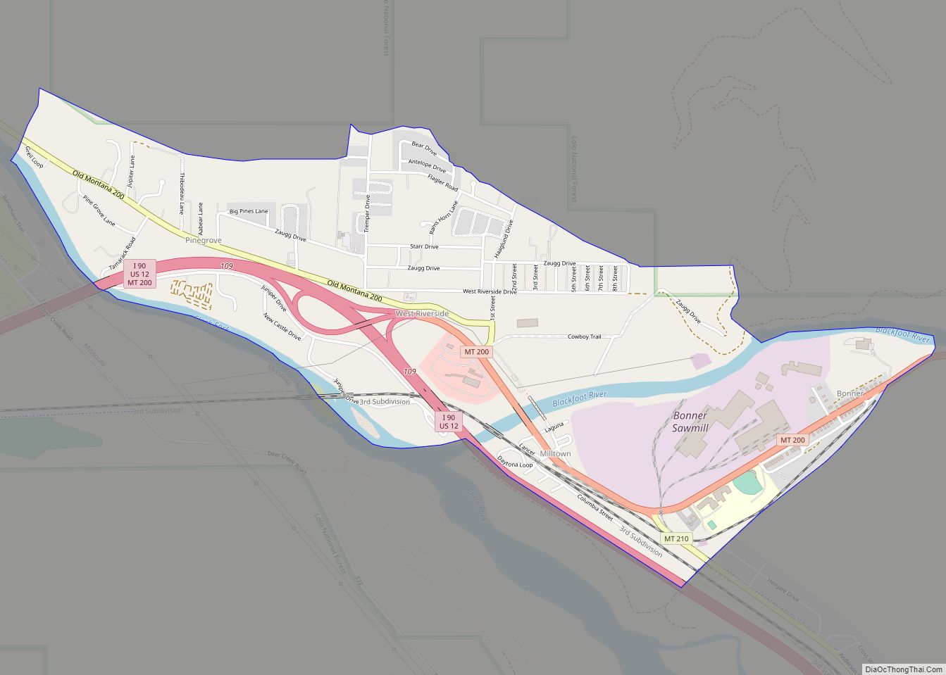
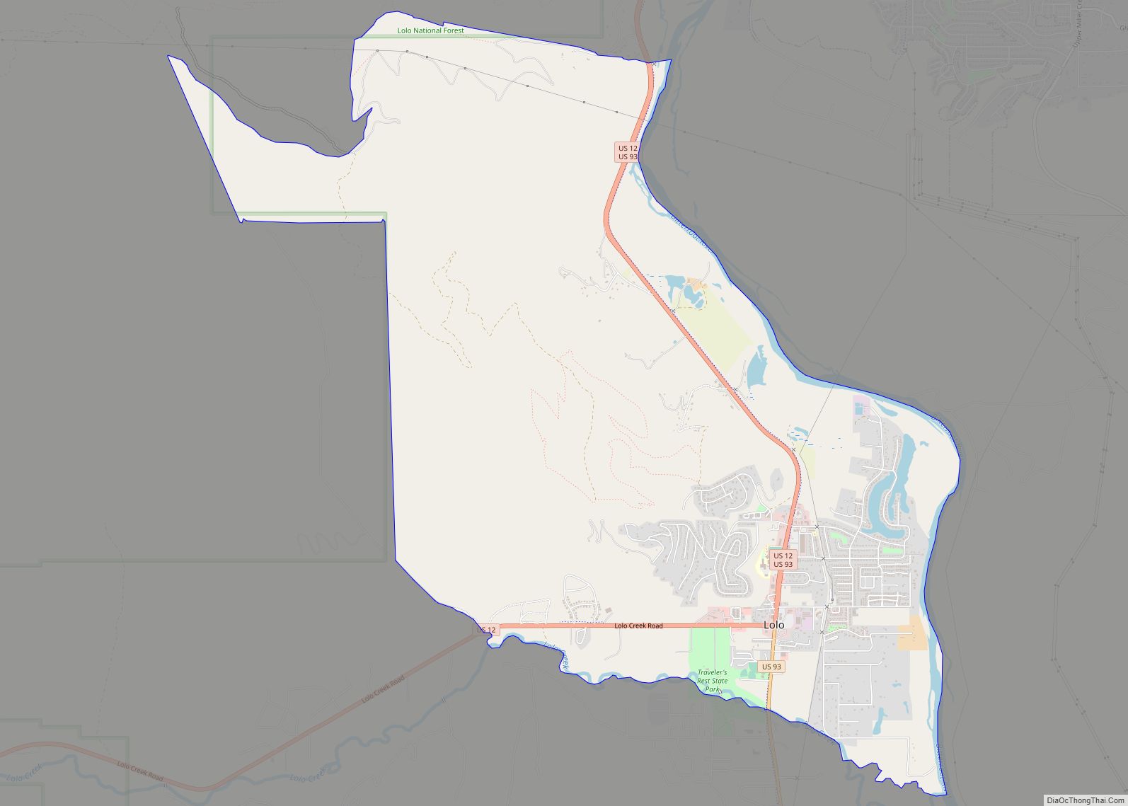
Evaro city Satellite Map

Geography
Evaro is located at 47°04′36″N 114°03′01″W / 47.076573°N 114.050225°W / 47.076573; -114.050225 (47.076573, -114.050225).
According to the United States Census Bureau, the CDP has a total area of 17.0 square miles (44 km), all land.
Evaro Hill, south of Evaro, is known as snɫp̓upƛ̓m or snɫp̓u (“small clearing on the hillop”) in Salish.
See also
Map of Montana State and its subdivision:- Beaverhead
- Big Horn
- Blaine
- Broadwater
- Carbon
- Carter
- Cascade
- Chouteau
- Custer
- Daniels
- Dawson
- Deer Lodge
- Fallon
- Fergus
- Flathead
- Gallatin
- Garfield
- Glacier
- Golden Valley
- Granite
- Hill
- Jefferson
- Judith Basin
- Lake
- Lewis and Clark
- Liberty
- Lincoln
- Madison
- McCone
- Meagher
- Mineral
- Missoula
- Musselshell
- Park
- Petroleum
- Phillips
- Pondera
- Powder River
- Powell
- Prairie
- Ravalli
- Richland
- Roosevelt
- Rosebud
- Sanders
- Sheridan
- Silver Bow
- Stillwater
- Sweet Grass
- Teton
- Toole
- Treasure
- Valley
- Wheatland
- Wibaux
- Yellowstone
- Alabama
- Alaska
- Arizona
- Arkansas
- California
- Colorado
- Connecticut
- Delaware
- District of Columbia
- Florida
- Georgia
- Hawaii
- Idaho
- Illinois
- Indiana
- Iowa
- Kansas
- Kentucky
- Louisiana
- Maine
- Maryland
- Massachusetts
- Michigan
- Minnesota
- Mississippi
- Missouri
- Montana
- Nebraska
- Nevada
- New Hampshire
- New Jersey
- New Mexico
- New York
- North Carolina
- North Dakota
- Ohio
- Oklahoma
- Oregon
- Pennsylvania
- Rhode Island
- South Carolina
- South Dakota
- Tennessee
- Texas
- Utah
- Vermont
- Virginia
- Washington
- West Virginia
- Wisconsin
- Wyoming