Map of Emerson village, Nebraska

Map of Emerson village, Nebraska

Emerson is a village in Dakota, Dixon, and Thurston counties in the U.S. state of Nebraska. The population was 840 at the 2010 census. Emerson is the only community in Nebraska that exists in three counties. Emerson village overview: Name: Emerson village LSAD Code: 47 LSAD Description: village (suffix) State: Nebraska County: Dakota County, Dixon … Read more

Map of Fairfield city, Nebraska

Map of Fairfield city, Nebraska

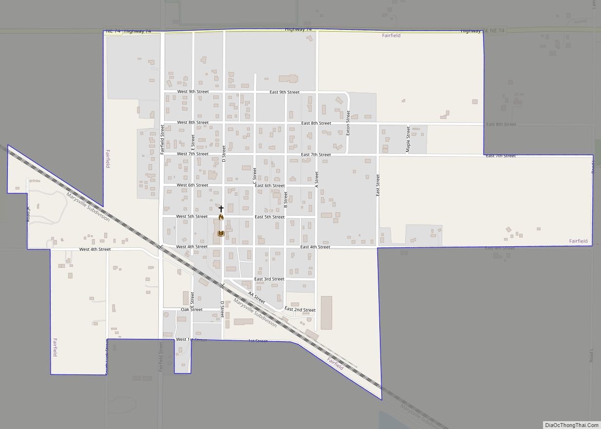
Fairfield is a city in Clay County, Nebraska, United States. The population was 387 at the 2010 census. It is part of the Hastings, Nebraska Micropolitan Statistical Area. Fairfield city overview: Name: Fairfield city LSAD Code: 25 LSAD Description: city (suffix) State: Nebraska County: Clay County Elevation: 1,778 ft (542 m) Total Area: 0.72 sq mi (1.86 km²) Land Area: … Read more

Map of Fairbury city, Nebraska

Map of Fairbury city, Nebraska

Fairbury is a city and county seat of Jefferson County, Nebraska, United States. The population was 3,942 at the 2010 census. Fairbury has been closely connected with railroading for much of its history. It was founded on the projected route of a railway, and grew as a shipping center. For nearly 80 years, it was … Read more

Map of Exeter village, Nebraska

Map of Exeter village, Nebraska

Exeter is a village in Fillmore County, Nebraska, United States. The population was 516 at the 2020 census. Exeter village overview: Name: Exeter village LSAD Code: 47 LSAD Description: village (suffix) State: Nebraska County: Fillmore County Elevation: 1,611 ft (491 m) Total Area: 0.63 sq mi (1.64 km²) Land Area: 0.63 sq mi (1.64 km²) Water Area: 0.00 sq mi (0.00 km²) Total Population: 516 Population … Read more

Map of Ewing village, Nebraska

Map of Ewing village, Nebraska

Ewing is a village in Holt County, Nebraska, United States. The population was 387 at the 2010 census. Ewing village overview: Name: Ewing village LSAD Code: 47 LSAD Description: village (suffix) State: Nebraska County: Holt County Elevation: 1,860 ft (567 m) Total Area: 0.45 sq mi (1.15 km²) Land Area: 0.45 sq mi (1.15 km²) Water Area: 0.00 sq mi (0.00 km²) Total Population: 373 Population … Read more

Map of Eustis village, Nebraska

Map of Eustis village, Nebraska

Eustis is a village in Frontier County, Nebraska, United States. The population was 401 at the 2010 census. Eustis village overview: Name: Eustis village LSAD Code: 47 LSAD Description: village (suffix) State: Nebraska County: Frontier County Elevation: 2,635 ft (803 m) Total Area: 0.42 sq mi (1.10 km²) Land Area: 0.42 sq mi (1.10 km²) Water Area: 0.00 sq mi (0.00 km²) Total Population: 389 Population … Read more

Map of Ericson village

Map of Ericson village

Ericson is a village in Wheeler County, Nebraska, United States. The population was 92 at the 2010 census. Ericson village overview: Name: Ericson village LSAD Code: 47 LSAD Description: village (suffix) State: Nebraska County: Wheeler County Elevation: 2,028 ft (618 m) Total Area: 0.38 sq mi (0.97 km²) Land Area: 0.38 sq mi (0.97 km²) Water Area: 0.00 sq mi (0.00 km²) Total Population: 89 Population … Read more

Map of Endicott village

Map of Endicott village, Nebraska

Endicott is a village in Jefferson County, Nebraska, United States. The population was 114 at the 2020 census. Endicott village overview: Name: Endicott village LSAD Code: 47 LSAD Description: village (suffix) State: Nebraska County: Jefferson County Elevation: 1,345 ft (410 m) Total Area: 0.47 sq mi (1.21 km²) Land Area: 0.46 sq mi (1.19 km²) Water Area: 0.01 sq mi (0.02 km²) Total Population: 114 Population … Read more

Map of Enders CDP

Map of Enders CDP

Enders is an unincorporated community and census-designated place in Chase County, Nebraska, United States. As of the 2010 census it had a population of 42. Although Enders is unincorporated, it has a post office, with the ZIP code of 69027. Enders CDP overview: Name: Enders CDP LSAD Code: 57 LSAD Description: CDP (suffix) State: Nebraska … Read more

Map of Emmet village, Nebraska

Map of Emmet village, Nebraska

Emmet is a village in Holt County, Nebraska, United States. The population was 48 at the 2010 census. Emmet village overview: Name: Emmet village LSAD Code: 47 LSAD Description: village (suffix) State: Nebraska County: Holt County Elevation: 2,028 ft (618 m) Total Area: 0.26 sq mi (0.67 km²) Land Area: 0.26 sq mi (0.67 km²) Water Area: 0.00 sq mi (0.00 km²) Total Population: 46 Population … Read more

Map of Fontanelle CDP, Nebraska

Map of Fontanelle CDP, Nebraska

Fontanelle is an unincorporated community and census-designated place (CDP) in Washington County, Nebraska, United States. The site of repeated incursions by the neighboring Pawnee tribe, Fontanelle was an early boom town in the Nebraska Territory, but waned in importance after failing to secure a railroad connection in the late 19th century. The 1860 Federal Census … Read more

Map of Firth village, Nebraska

Map of Firth village, Nebraska

Firth is a village in Lancaster County, Nebraska, United States. It is part of the Lincoln, Nebraska Metropolitan Statistical Area. The population was 649 at the 2020 census. Firth village overview: Name: Firth village LSAD Code: 47 LSAD Description: village (suffix) State: Nebraska County: Lancaster County Elevation: 1,355 ft (413 m) Total Area: 0.35 sq mi (0.92 km²) Land Area: … Read more