Exeter is a village in Fillmore County, Nebraska, United States. The population was 516 at the 2020 census.
| Name: | Exeter village |
|---|---|
| LSAD Code: | 47 |
| LSAD Description: | village (suffix) |
| State: | Nebraska |
| County: | Fillmore County |
| Elevation: | 1,611 ft (491 m) |
| Total Area: | 0.63 sq mi (1.64 km²) |
| Land Area: | 0.63 sq mi (1.64 km²) |
| Water Area: | 0.00 sq mi (0.00 km²) |
| Total Population: | 516 |
| Population Density: | 820/sq mi (310/km²) |
| ZIP code: | 68351 |
| Area code: | 402 |
| FIPS code: | 3116340 |
| GNISfeature ID: | 0829188 |
| Website: | www.ci.exeter.ne.us/general.htm |
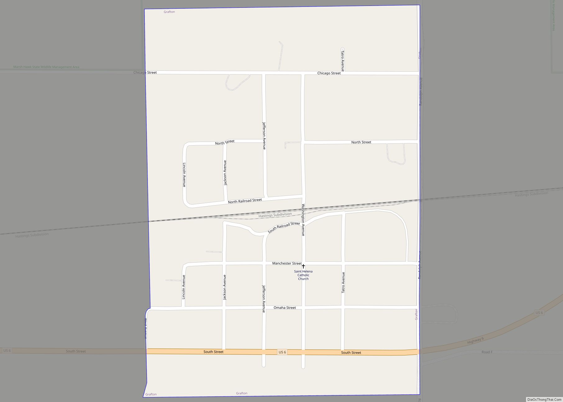
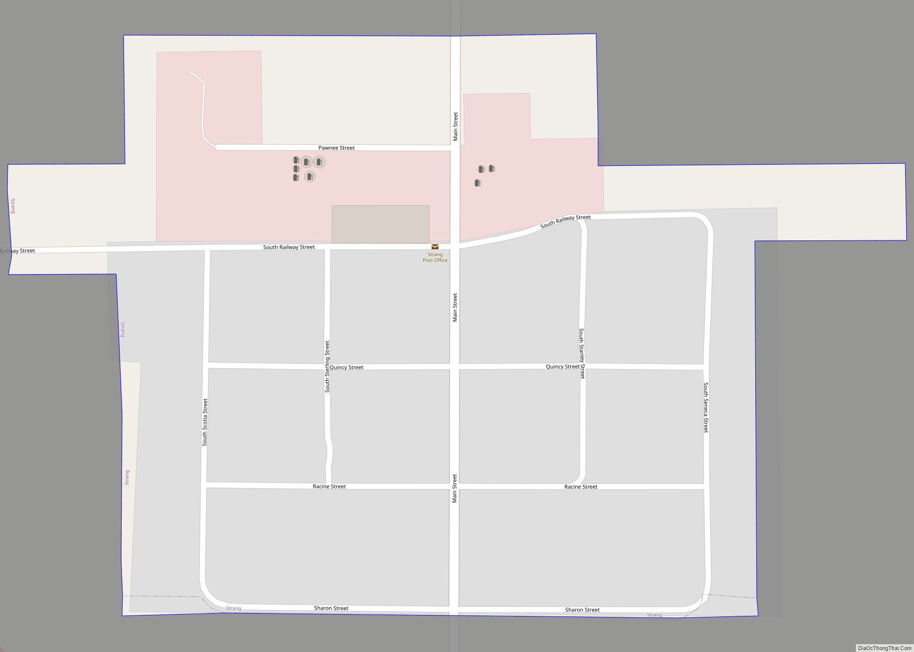
Online Interactive Map
Click on ![]() to view map in "full screen" mode.
to view map in "full screen" mode.
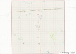
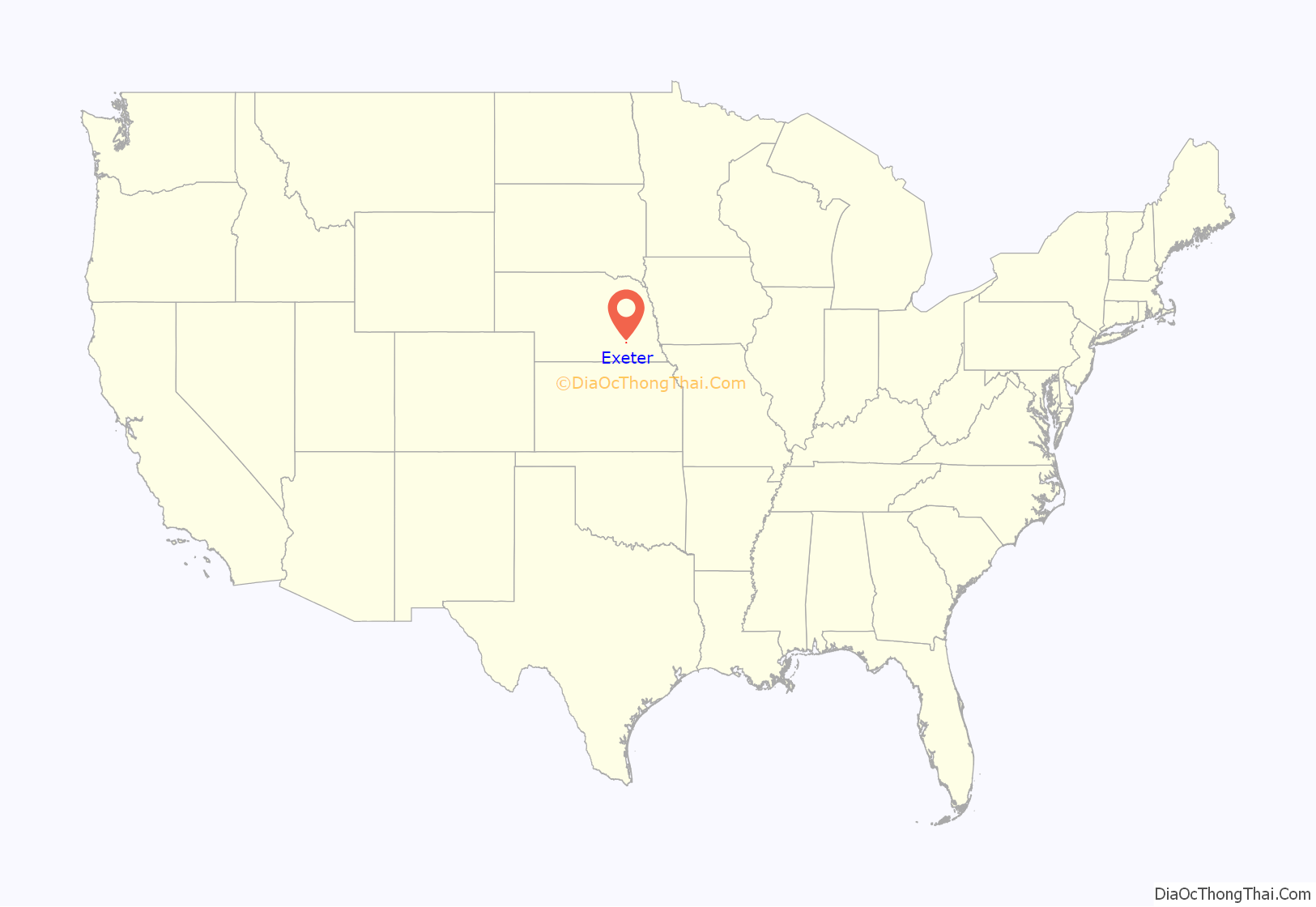
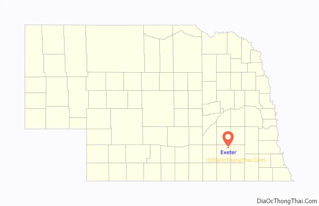
Exeter location map. Where is Exeter village?
History
In 1870, Dr. Horace Greeley Smith and his wife filed a homestead claim at the site of present-day Exeter. In an earlier scouting trip, Smith had determined that the site would lie near the line of the Burlington and Missouri River Railroad as it extended itself westward.
In the fall of 1871, the Burlington and Missouri was completed through Fillmore County. To promote settlement along its line, the railroad established towns at intervals. Towns were named alphabetically as the railroad ran westward from Lincoln. In eastern Fillmore County, a town was established on land donated by Smith and by James Dolan. One of the families that had settled in the area had come from Exeter, New Hampshire, and it was proposed that the town be given that name. It was adopted, as being in keeping with the alphabetical sequence: Crete, Dorchester, Exeter, Fairmont, Grafton, Harvard, Inland, Juniata, Kenesaw, and Lowell.
The railroad advertised the availability of free government land in Nebraska, bringing settlers from the eastern United States, and Czech, German, English, Irish, and Scandinavian immigrants. The town’s growth was initially slow, but hastened in the late 1870s. In 1878, two large grain elevators were built and a number of businesses opened; the town’s first newspaper, the Enterprise, was established in that year. In 1879, the town was incorporated; by that time, it had sixteen businesses.
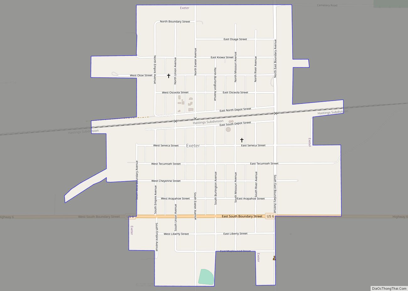
Exeter Road Map
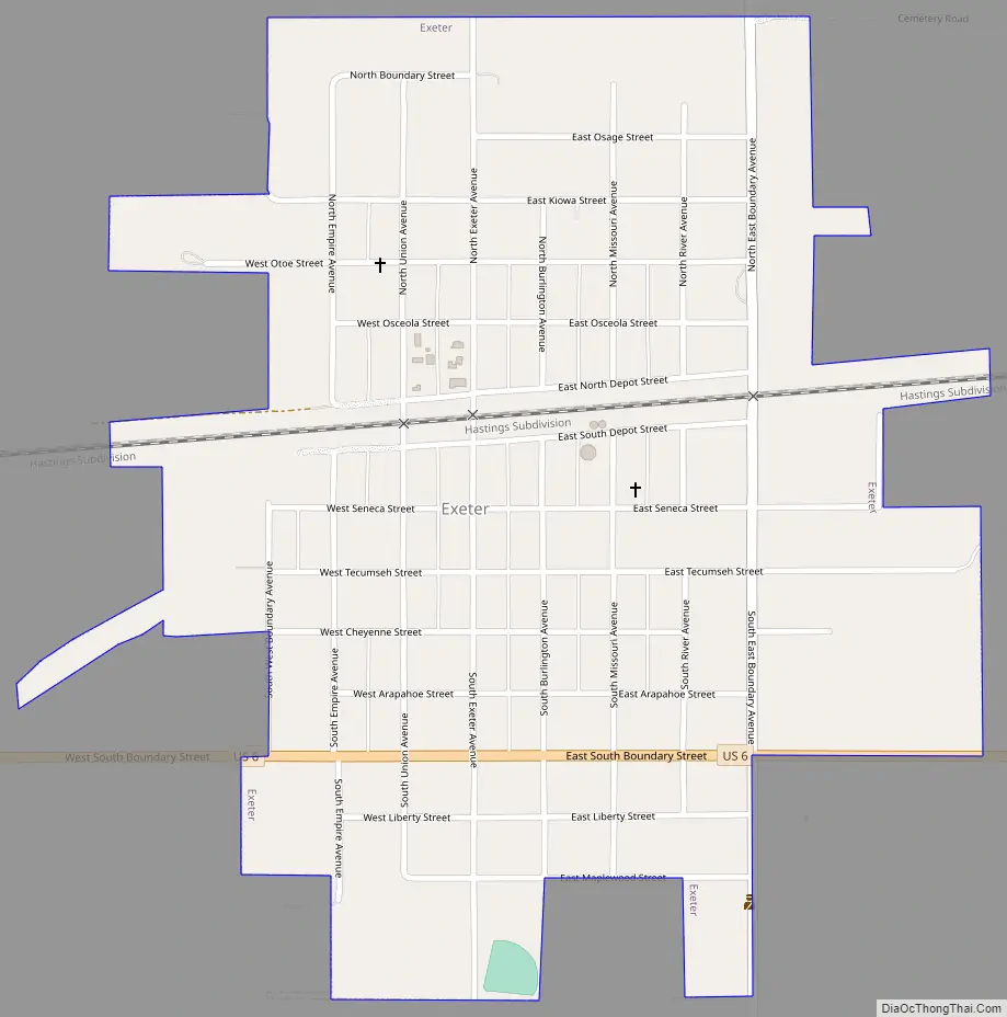
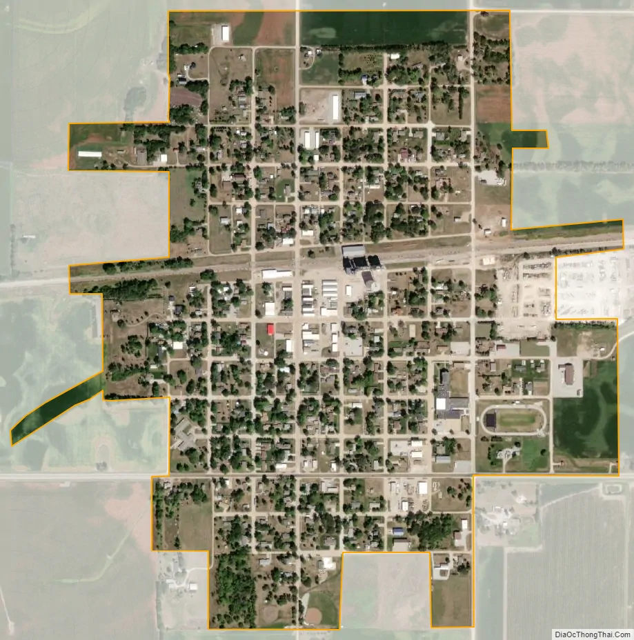
Exeter city Satellite Map
Geography
Exeter is located at 40°38′41″N 97°26′57″W / 40.644684°N 97.449229°W / 40.644684; -97.449229 (40.644684, -97.449229).
According to the United States Census Bureau, the village has a total area of 0.63 square miles (1.63 km), all land.
See also
Map of Nebraska State and its subdivision:- Adams
- Antelope
- Arthur
- Banner
- Blaine
- Boone
- Box Butte
- Boyd
- Brown
- Buffalo
- Burt
- Butler
- Cass
- Cedar
- Chase
- Cherry
- Cheyenne
- Clay
- Colfax
- Cuming
- Custer
- Dakota
- Dawes
- Dawson
- Deuel
- Dixon
- Dodge
- Douglas
- Dundy
- Fillmore
- Franklin
- Frontier
- Furnas
- Gage
- Garden
- Garfield
- Gosper
- Grant
- Greeley
- Hall
- Hamilton
- Harlan
- Hayes
- Hitchcock
- Holt
- Hooker
- Howard
- Jefferson
- Johnson
- Kearney
- Keith
- Keya Paha
- Kimball
- Knox
- Lancaster
- Lincoln
- Logan
- Loup
- Madison
- McPherson
- Merrick
- Morrill
- Nance
- Nemaha
- Nuckolls
- Otoe
- Pawnee
- Perkins
- Phelps
- Pierce
- Platte
- Polk
- Red Willow
- Richardson
- Rock
- Saline
- Sarpy
- Saunders
- Scotts Bluff
- Seward
- Sheridan
- Sherman
- Sioux
- Stanton
- Thayer
- Thomas
- Thurston
- Valley
- Washington
- Wayne
- Webster
- Wheeler
- York
- Alabama
- Alaska
- Arizona
- Arkansas
- California
- Colorado
- Connecticut
- Delaware
- District of Columbia
- Florida
- Georgia
- Hawaii
- Idaho
- Illinois
- Indiana
- Iowa
- Kansas
- Kentucky
- Louisiana
- Maine
- Maryland
- Massachusetts
- Michigan
- Minnesota
- Mississippi
- Missouri
- Montana
- Nebraska
- Nevada
- New Hampshire
- New Jersey
- New Mexico
- New York
- North Carolina
- North Dakota
- Ohio
- Oklahoma
- Oregon
- Pennsylvania
- Rhode Island
- South Carolina
- South Dakota
- Tennessee
- Texas
- Utah
- Vermont
- Virginia
- Washington
- West Virginia
- Wisconsin
- Wyoming