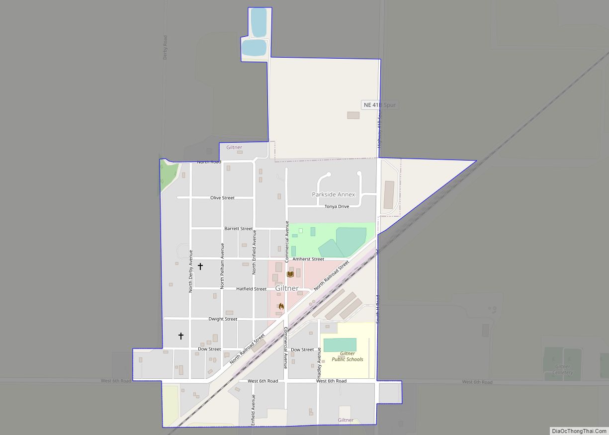
Giltner is a village in Hamilton County, Nebraska, United States. The population was 352 at the 2010 census. Giltner village overview: Name: Giltner village LSAD Code: 47 LSAD Description: village (suffix) State: Nebraska County: Hamilton County Elevation: 1,834 ft (559 m) Total Area: 0.39 sq mi (1.01 km²) Land Area: 0.39 sq mi (1.00 km²) Water Area: 0.00 sq mi (0.01 km²) Total Population: 406 Population ... Read more
Nebraska Cities and Places
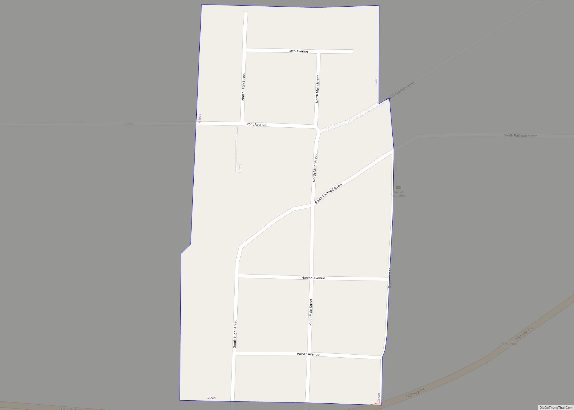
Gilead is a village in Thayer County, Nebraska, United States. The population was 32 at the 2020 census. Gilead village overview: Name: Gilead village LSAD Code: 47 LSAD Description: village (suffix) State: Nebraska County: Thayer County Elevation: 1,539 ft (469 m) Total Area: 0.07 sq mi (0.18 km²) Land Area: 0.07 sq mi (0.18 km²) Water Area: 0.00 sq mi (0.00 km²) Total Population: 32 Population ... Read more
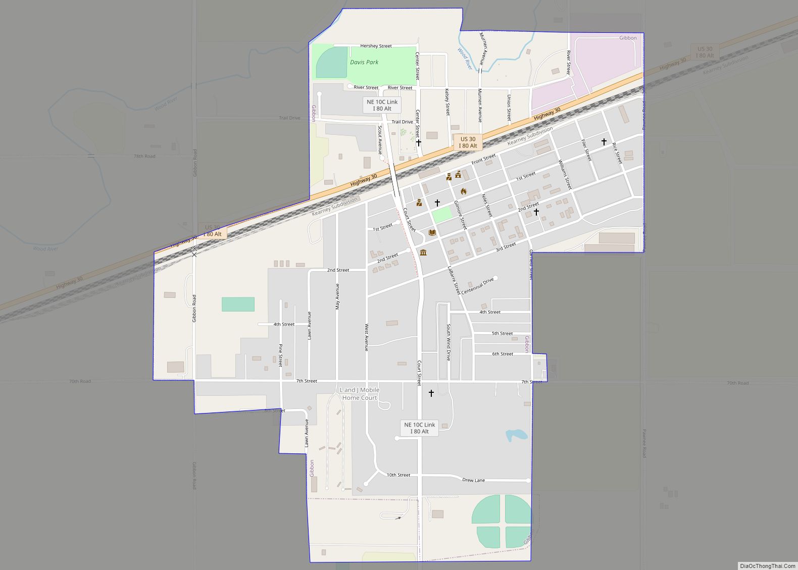
Gibbon is a city in Buffalo County, Nebraska, United States. It is part of the Kearney, Nebraska Micropolitan Statistical Area. The population was 1,833 at the 2010 census. Gibbon city overview: Name: Gibbon city LSAD Code: 25 LSAD Description: city (suffix) State: Nebraska County: Buffalo County Elevation: 2,060 ft (628 m) Total Area: 0.87 sq mi (2.25 km²) Land Area: ... Read more
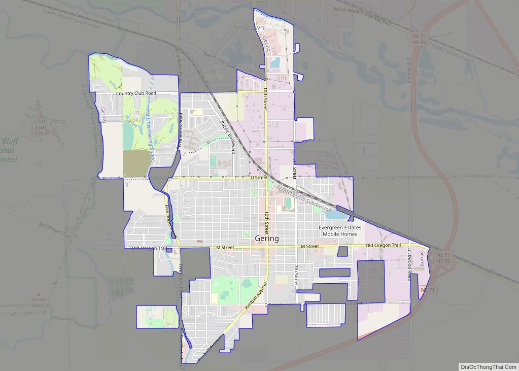
Gering is a city in and the county seat of Scotts Bluff County, in the Panhandle region of Nebraska, United States. The population was 8,564 at the 2020 census. Gering city overview: Name: Gering city LSAD Code: 25 LSAD Description: city (suffix) State: Nebraska County: Scotts Bluff County Founded: 1887 Elevation: 3,911 ft (1,192 m) Total Area: ... Read more
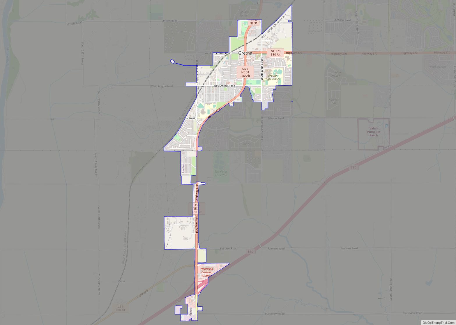
Gretna is a city in Sarpy County, Nebraska, United States. The population was 5,083 at the 2020 census. Gretna city overview: Name: Gretna city LSAD Code: 25 LSAD Description: city (suffix) State: Nebraska County: Sarpy County Elevation: 1,112 ft (339 m) Total Area: 6.93 sq mi (17.96 km²) Land Area: 6.84 sq mi (17.71 km²) Water Area: 0.10 sq mi (0.25 km²) Total Population: 5,083 Population ... Read more
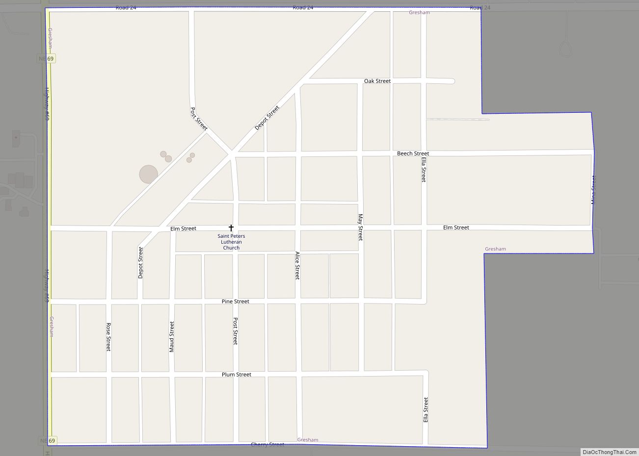
Gresham is a village in York County, Nebraska, United States. The population was 223 at the 2010 census. Gresham village overview: Name: Gresham village LSAD Code: 47 LSAD Description: village (suffix) State: Nebraska County: York County Elevation: 1,617 ft (493 m) Total Area: 0.27 sq mi (0.70 km²) Land Area: 0.27 sq mi (0.70 km²) Water Area: 0.00 sq mi (0.00 km²) Total Population: 219 Population ... Read more
Greenwood is a village in northwest Cass County, Nebraska, United States. The population was 595 at the 2020 census. Greenwood village overview: Name: Greenwood village LSAD Code: 47 LSAD Description: village (suffix) State: Nebraska County: Cass County Elevation: 1,129 ft (344 m) Total Area: 0.41 sq mi (1.07 km²) Land Area: 0.41 sq mi (1.07 km²) Water Area: 0.00 sq mi (0.00 km²) Total Population: 595 ... Read more
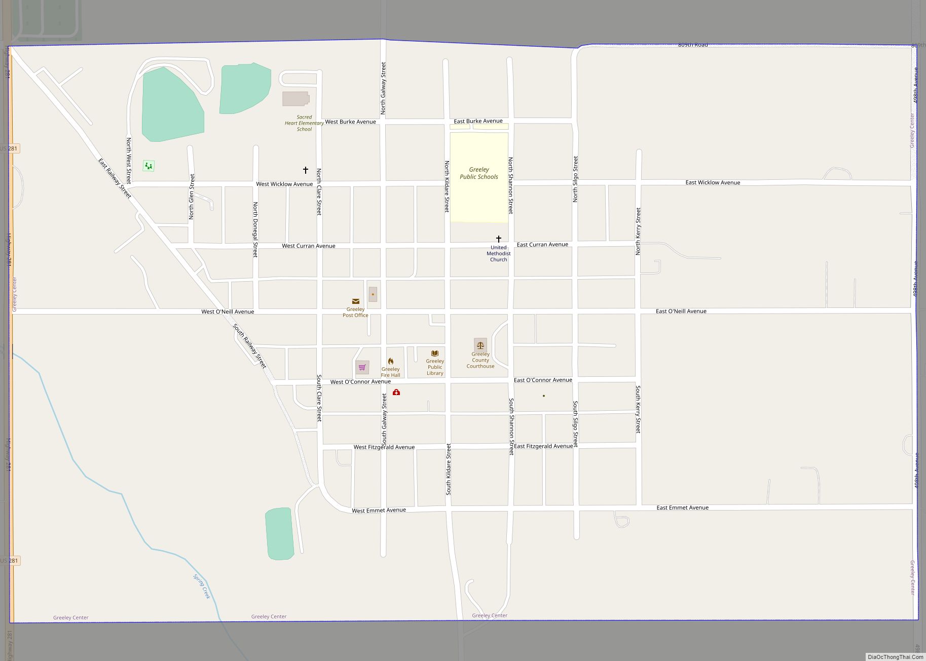
Greeley Center, often shortened to simply Greeley, is a village in and the county seat of Greeley County, Nebraska, United States. The population was 466 at the 2010 census. Greeley Center village overview: Name: Greeley Center village LSAD Code: 47 LSAD Description: village (suffix) State: Nebraska County: Greeley County Total Area: 0.63 sq mi (1.63 km²) Land Area: ... Read more
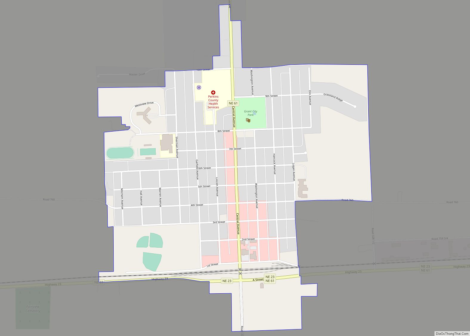
Grant is a city and county seat of Perkins County, Nebraska, United States. The population was 1,165 at the 2010 census. Grant city overview: Name: Grant city LSAD Code: 25 LSAD Description: city (suffix) State: Nebraska County: Perkins County Elevation: 3,412 ft (1,040 m) Total Area: 0.79 sq mi (2.04 km²) Land Area: 0.79 sq mi (2.04 km²) Water Area: 0.00 sq mi (0.00 km²) Total ... Read more
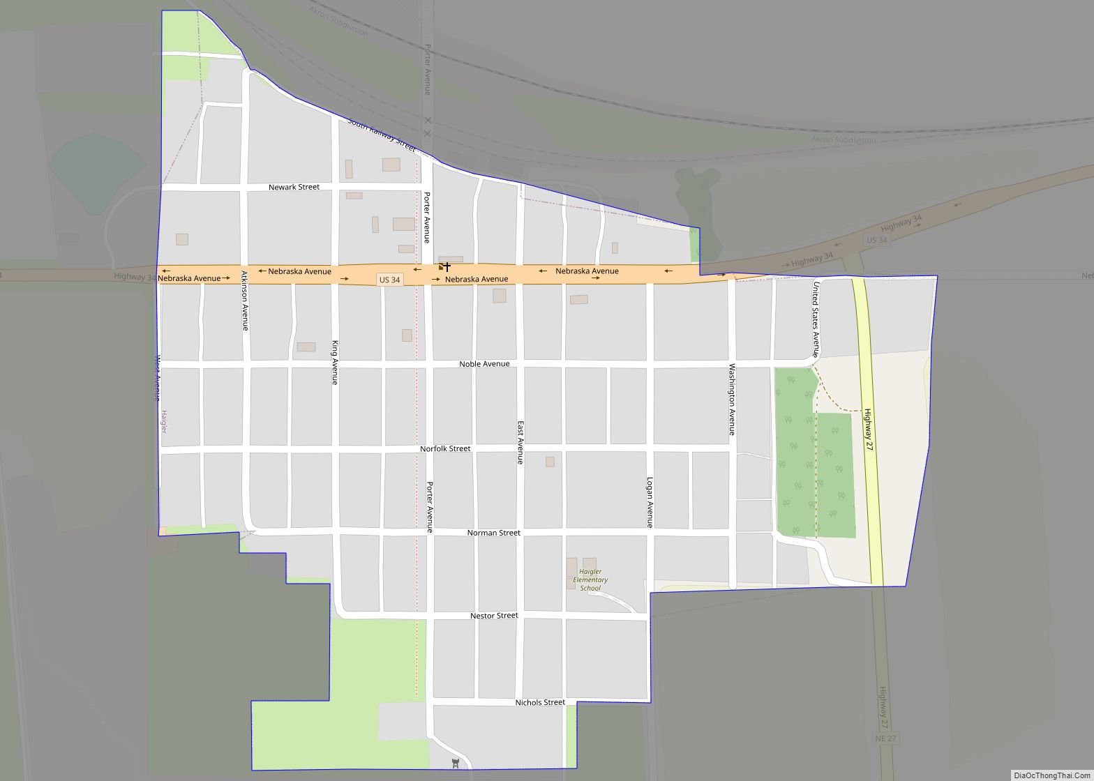
Haigler is a village in southwestern Dundy County, Nebraska, United States. The population was 158 at the 2010 census. Haigler village overview: Name: Haigler village LSAD Code: 47 LSAD Description: village (suffix) State: Nebraska County: Dundy County Elevation: 3,278 ft (999 m) Total Area: 0.24 sq mi (0.63 km²) Land Area: 0.24 sq mi (0.63 km²) Water Area: 0.00 sq mi (0.00 km²) Total Population: 145 ... Read more
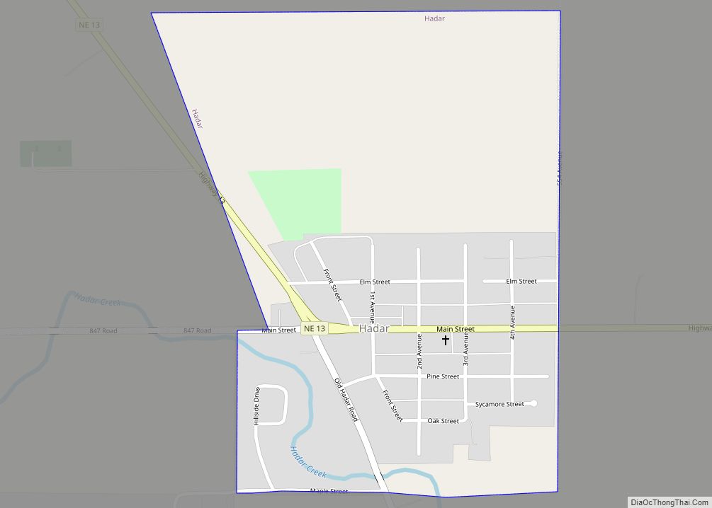
Hadar is a village in Pierce County, Nebraska, United States. It is part of the Norfolk, Nebraska Micropolitan Statistical Area. The population was 293 at the 2010 census. Hadar village overview: Name: Hadar village LSAD Code: 47 LSAD Description: village (suffix) State: Nebraska County: Pierce County Elevation: 1,552 ft (473 m) Total Area: 0.40 sq mi (1.03 km²) Land Area: ... Read more
Gurley is a village in Cheyenne County, Nebraska, United States. The population was 214 at the 2010 census. Gurley village overview: Name: Gurley village LSAD Code: 47 LSAD Description: village (suffix) State: Nebraska County: Cheyenne County Elevation: 4,281 ft (1,305 m) Total Area: 0.19 sq mi (0.48 km²) Land Area: 0.19 sq mi (0.48 km²) Water Area: 0.00 sq mi (0.00 km²) Total Population: 187 Population ... Read more
