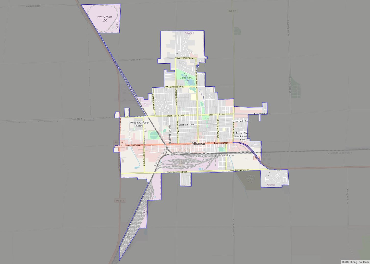
Alliance is a city and the county seat of Box Butte County, in the western part of the state of Nebraska, in the Great Plains region of the United States. Its population was 8,151 at the 2020 census. Alliance is the home to Carhenge, a replica of Stonehenge constructed with automobiles, which is located north ... Read more
Nebraska Cities and Places
Allen is a village in Dixon County, Nebraska, United States. Located south of US Hwy 20 on NE Hwy 9 between Martinsburg, NE and Wakefield, NE. It is part of the Sioux City, IA–NE–SD Metropolitan Statistical Area. The population was 377 at the 2010 census. Allen village overview: Name: Allen village LSAD Code: 47 LSAD ... Read more
Alexandria is a village in Thayer County, Nebraska, United States. The population was 146 at the 2020 census. Alexandria village overview: Name: Alexandria village LSAD Code: 47 LSAD Description: village (suffix) State: Nebraska County: Thayer County Elevation: 1,414 ft (431 m) Total Area: 0.40 sq mi (1.05 km²) Land Area: 0.40 sq mi (1.05 km²) Water Area: 0.00 sq mi (0.00 km²) Total Population: 146 Population ... Read more
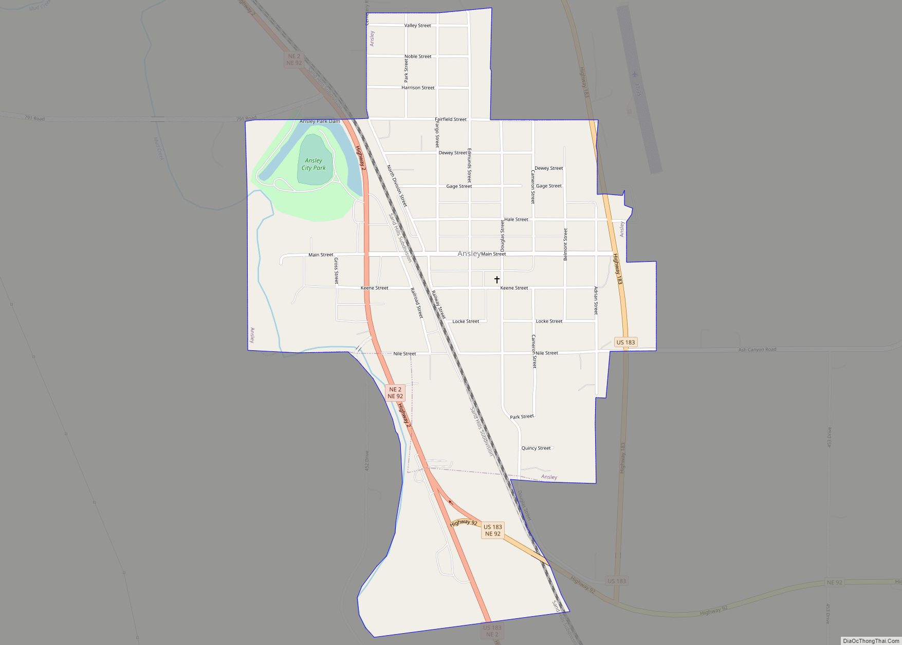
Ansley is a village in Custer County, Nebraska, United States. The population was 441 at the 2010 census. Ansley village overview: Name: Ansley village LSAD Code: 47 LSAD Description: village (suffix) State: Nebraska County: Custer County Elevation: 2,306 ft (703 m) Total Area: 0.72 sq mi (1.86 km²) Land Area: 0.72 sq mi (1.86 km²) Water Area: 0.00 sq mi (0.00 km²) Total Population: 459 Population ... Read more
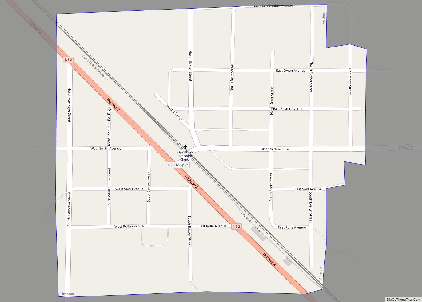
Anselmo is a village in Custer County, Nebraska, United States. The population was 145 at the 2010 census. Anselmo village overview: Name: Anselmo village LSAD Code: 47 LSAD Description: village (suffix) State: Nebraska County: Custer County Elevation: 2,605 ft (794 m) Total Area: 0.27 sq mi (0.69 km²) Land Area: 0.27 sq mi (0.69 km²) Water Area: 0.00 sq mi (0.00 km²) Total Population: 108 Population ... Read more
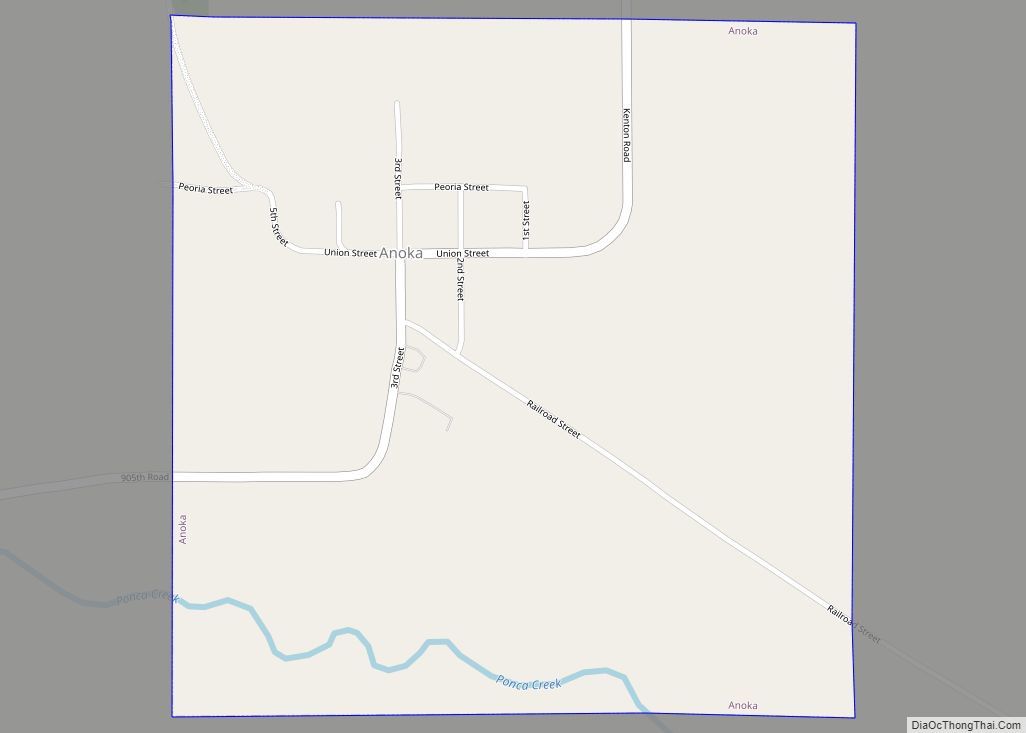
Anoka is a village in Boyd County, Nebraska, United States. The population was 6 at the 2010 census. Anoka village overview: Name: Anoka village LSAD Code: 47 LSAD Description: village (suffix) State: Nebraska County: Boyd County Elevation: 1,647 ft (502 m) Total Area: 0.56 sq mi (1.45 km²) Land Area: 0.56 sq mi (1.45 km²) Water Area: 0.00 sq mi (0.00 km²) Total Population: 10 Population ... Read more
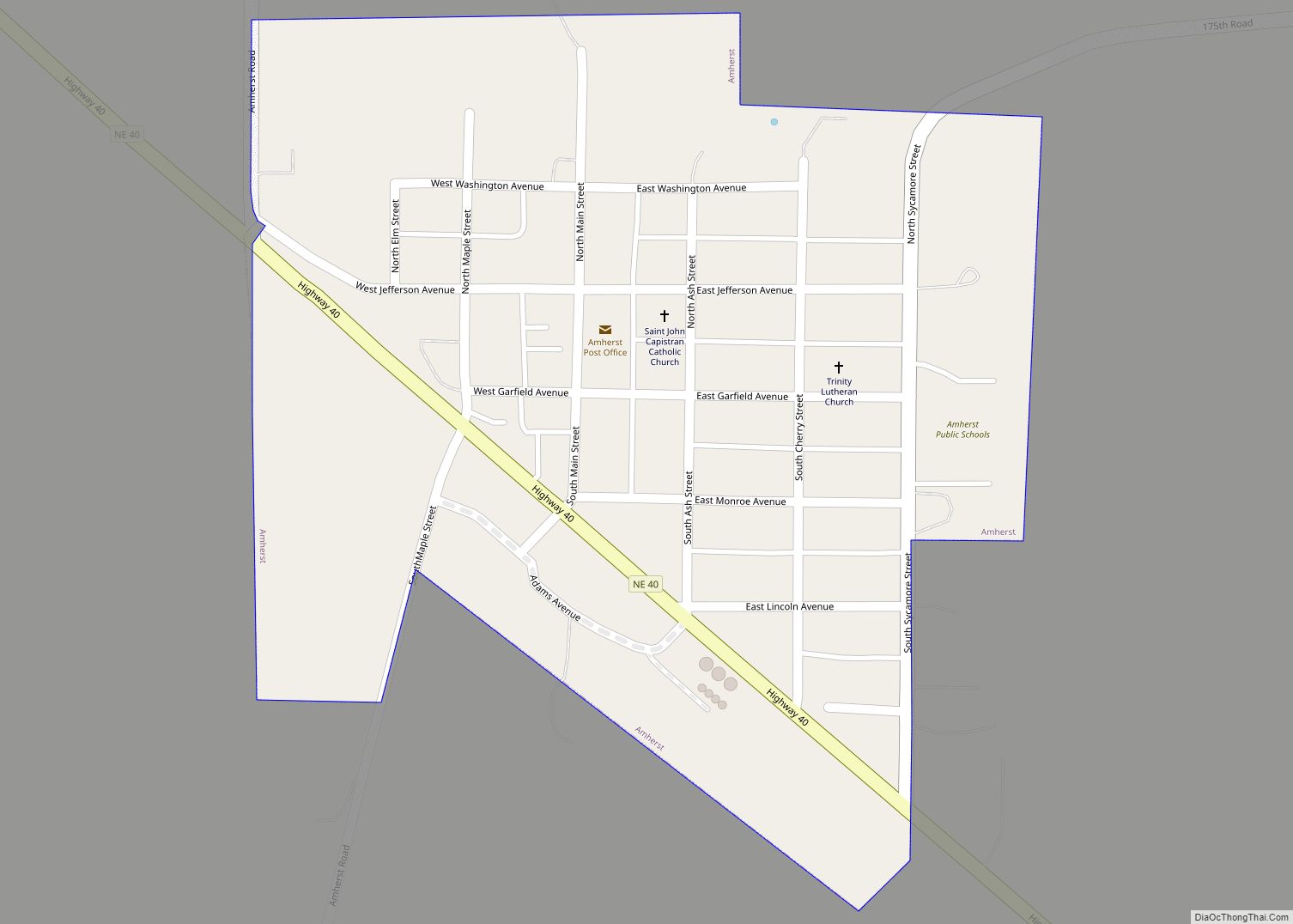
Amherst is a village in Buffalo County, Nebraska, United States. It is part of the Kearney, Nebraska Micropolitan Statistical Area. The population was 248 at the 2010 census. Amherst village overview: Name: Amherst village LSAD Code: 47 LSAD Description: village (suffix) State: Nebraska County: Buffalo County Elevation: 2,356 ft (718 m) Total Area: 0.22 sq mi (0.57 km²) Land Area: ... Read more
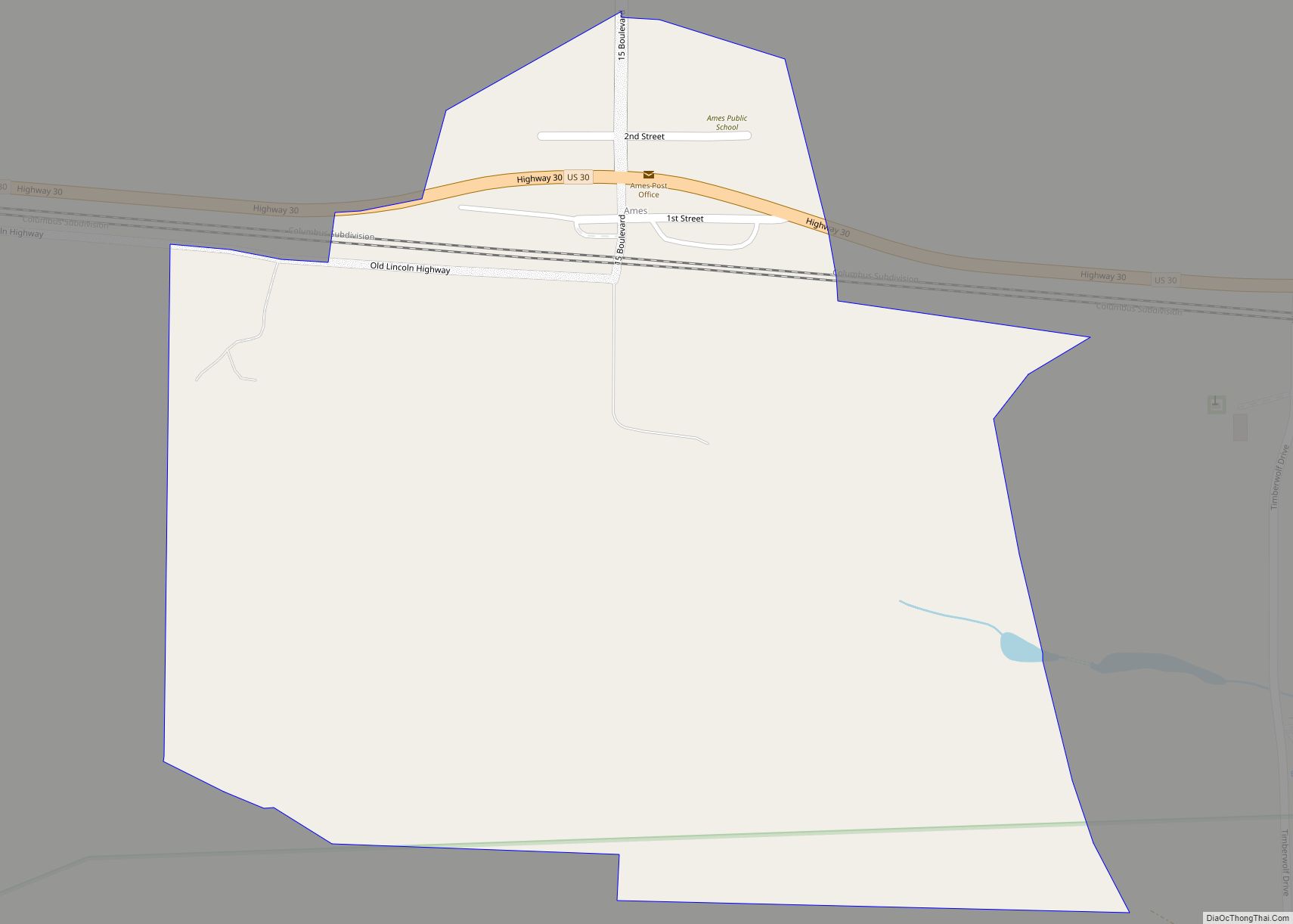
Ames is an unincorporated hamlet in southern Dodge County, Nebraska, United States. As of the 2010 census it had a population of 24. Ames lies along U.S. Route 30, west of the city of Fremont, the county seat of Dodge County. Its elevation is 1,227 feet (374 m) above sea level, and it is located at ... Read more
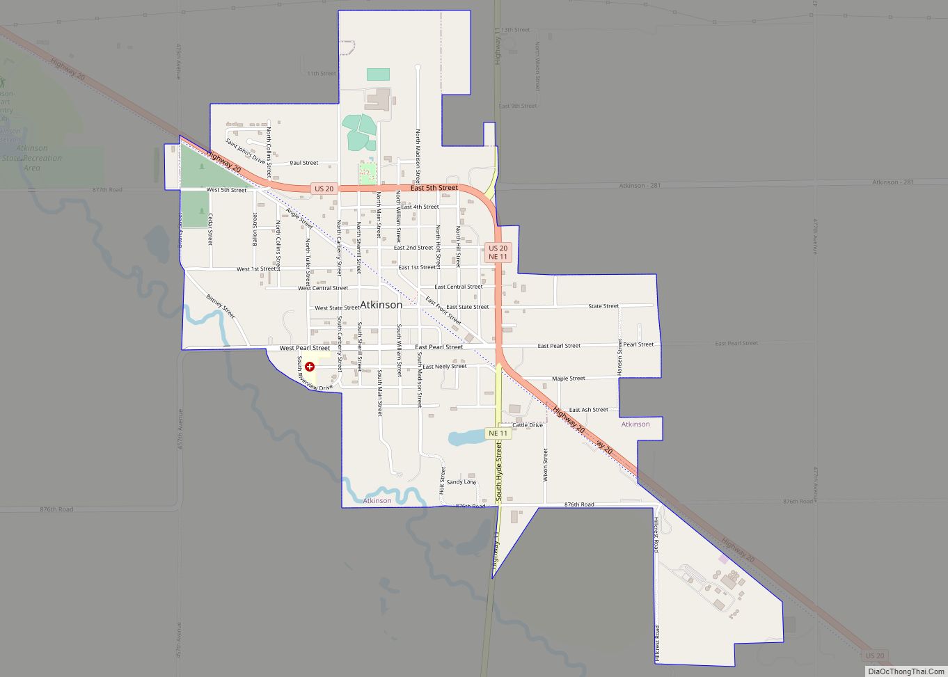
Atkinson is a city in Holt County, Nebraska, United States. The population was 1,245 at the 2010 census. Atkinson city overview: Name: Atkinson city LSAD Code: 25 LSAD Description: city (suffix) State: Nebraska County: Holt County Elevation: 2,106 ft (642 m) Total Area: 1.64 sq mi (4.24 km²) Land Area: 1.64 sq mi (4.24 km²) Water Area: 0.00 sq mi (0.00 km²) Total Population: 1,306 Population ... Read more
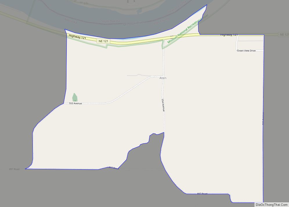
Aten is an unincorporated community and census-designated place in Cedar County, Nebraska, United States. As of the 2010 census it had a population of 112. Aten CDP overview: Name: Aten CDP LSAD Code: 57 LSAD Description: CDP (suffix) State: Nebraska County: Cedar County Founded: 1881 Total Area: 1.70 sq mi (4.40 km²) Land Area: 1.70 sq mi (4.40 km²) Water Area: ... Read more
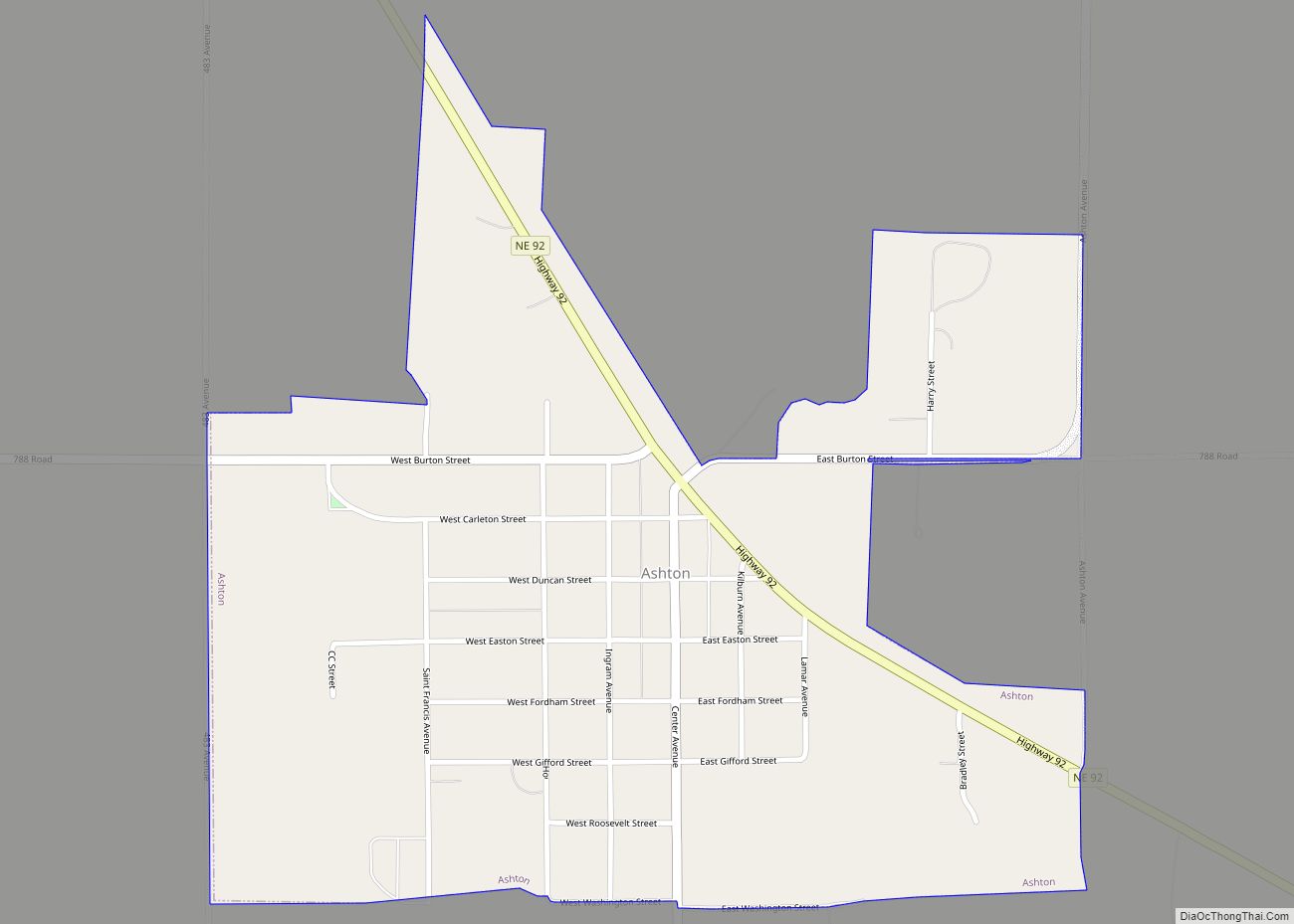
Ashton is a village in Sherman County, Nebraska, United States. The population was 194 at the 2010 census. Ashton village overview: Name: Ashton village LSAD Code: 47 LSAD Description: village (suffix) State: Nebraska County: Sherman County Elevation: 2,037 ft (621 m) Total Area: 0.59 sq mi (1.53 km²) Land Area: 0.59 sq mi (1.53 km²) Water Area: 0.00 sq mi (0.00 km²) Total Population: 198 Population ... Read more
Ashland is a city in Saunders County, Nebraska, United States. The population was 3,086 at the 2020 census. Ashland city overview: Name: Ashland city LSAD Code: 25 LSAD Description: city (suffix) State: Nebraska County: Saunders County Elevation: 1,093 ft (333 m) Total Area: 1.41 sq mi (3.65 km²) Land Area: 1.38 sq mi (3.58 km²) Water Area: 0.03 sq mi (0.07 km²) Total Population: 3,086 Population ... Read more
