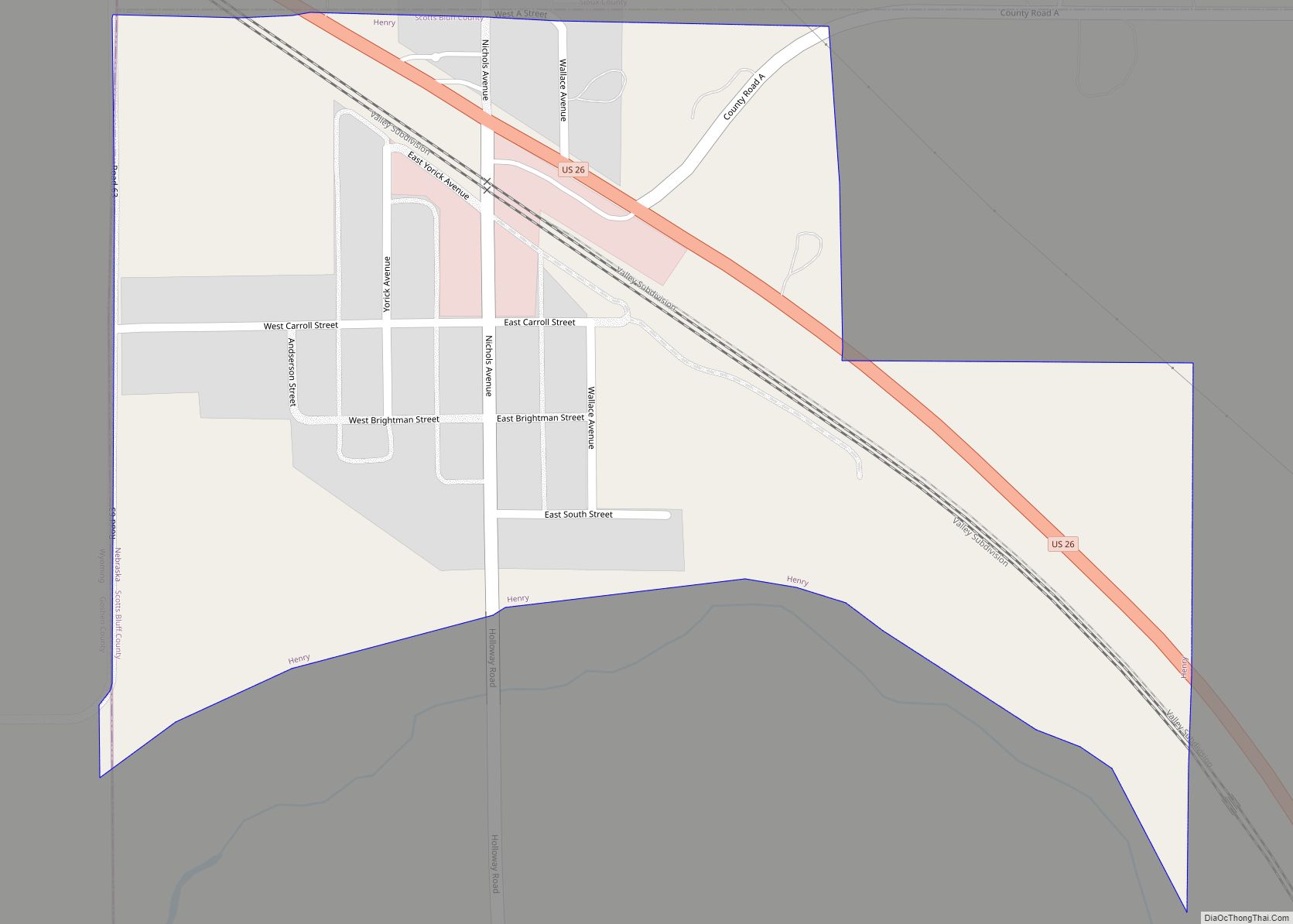
Henry is a village in Scotts Bluff County, Nebraska, United States. It is part of the Scottsbluff, Nebraska Micropolitan Statistical Area. The population was 106 at the 2010 census. Henry village overview: Name: Henry village LSAD Code: 47 LSAD Description: village (suffix) State: Nebraska County: Scotts Bluff County Elevation: 4,039 ft (1,231 m) Total Area: 0.31 sq mi (0.80 km²) ... Read more
Nebraska Cities and Places
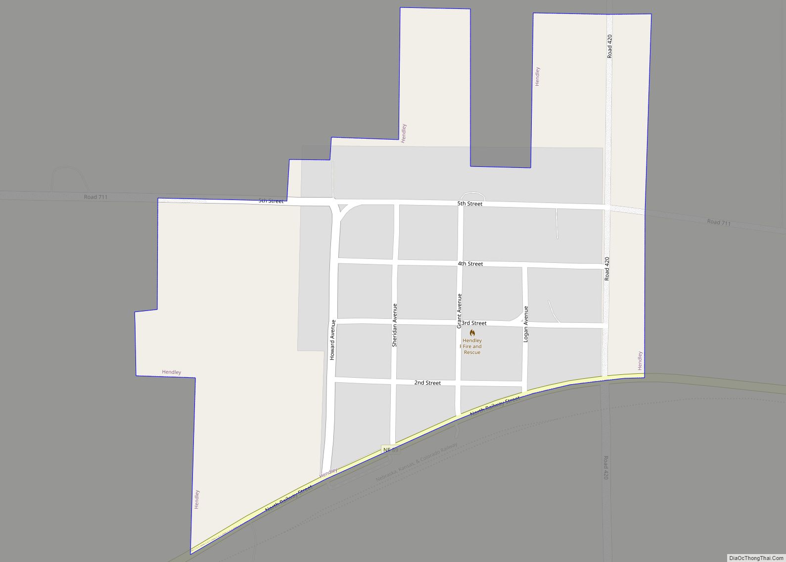
Hendley is a village in Furnas County, Nebraska, United States. The population was 24 at the 2010 census. Hendley village overview: Name: Hendley village LSAD Code: 47 LSAD Description: village (suffix) State: Nebraska County: Furnas County Elevation: 2,234 ft (681 m) Total Area: 0.21 sq mi (0.55 km²) Land Area: 0.21 sq mi (0.55 km²) Water Area: 0.00 sq mi (0.00 km²) Total Population: 20 Population ... Read more
Henderson is a city in York County, Nebraska, United States. The population was 991 at the 2010 census. Henderson city overview: Name: Henderson city LSAD Code: 25 LSAD Description: city (suffix) State: Nebraska County: York County Elevation: 1,719 ft (524 m) Total Area: 0.66 sq mi (1.71 km²) Land Area: 0.66 sq mi (1.71 km²) Water Area: 0.00 sq mi (0.00 km²) Total Population: 1,080 Population ... Read more
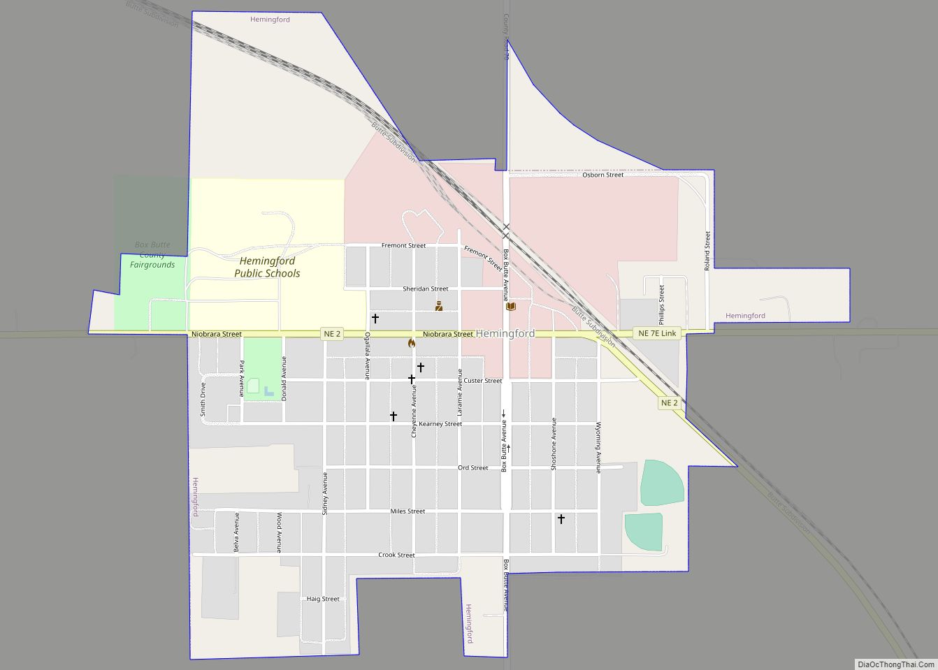
Hemingford is a village in Box Butte County, Nebraska, United States. The population was 803 at the 2010 census. Hemingford village overview: Name: Hemingford village LSAD Code: 47 LSAD Description: village (suffix) State: Nebraska County: Box Butte County Elevation: 4,265 ft (1,300 m) Total Area: 0.68 sq mi (1.76 km²) Land Area: 0.68 sq mi (1.76 km²) Water Area: 0.00 sq mi (0.00 km²) Total Population: ... Read more
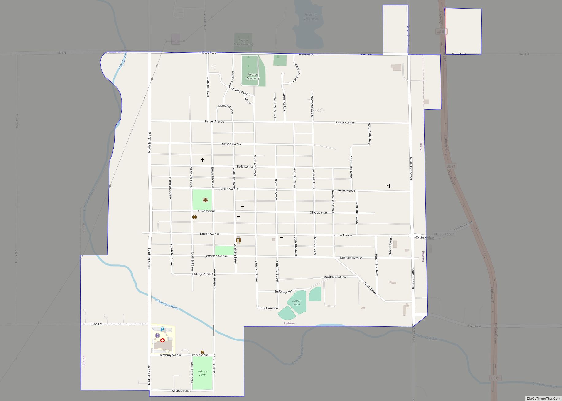
Hebron is a city in, and the county seat of, Thayer County, Nebraska, United States. The population was 1,441 at the 2020 census. Hebron city overview: Name: Hebron city LSAD Code: 25 LSAD Description: city (suffix) State: Nebraska County: Thayer County Elevation: 1,470 ft (448 m) Total Area: 1.46 sq mi (3.79 km²) Land Area: 1.46 sq mi (3.79 km²) Water Area: 0.00 sq mi ... Read more
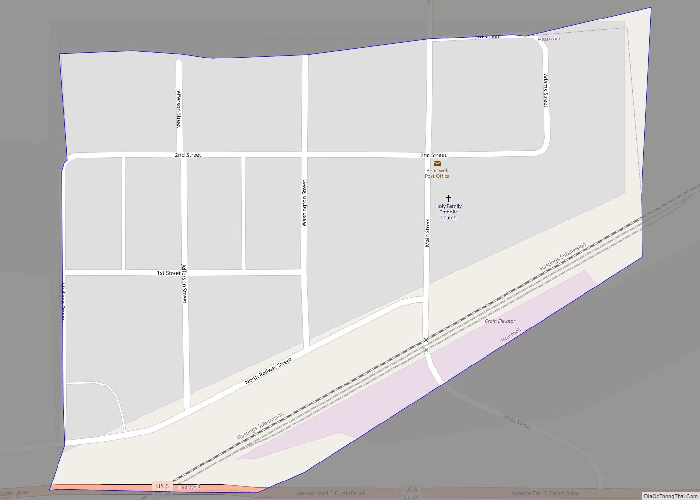
Heartwell is a village in Kearney County, Nebraska, United States. It is part of the Kearney, Nebraska Micropolitan Statistical Area. The population was 80 at the 2020 census. Heartwell village overview: Name: Heartwell village LSAD Code: 47 LSAD Description: village (suffix) State: Nebraska County: Kearney County Elevation: 2,093 ft (638 m) Total Area: 0.07 sq mi (0.19 km²) Land Area: ... Read more
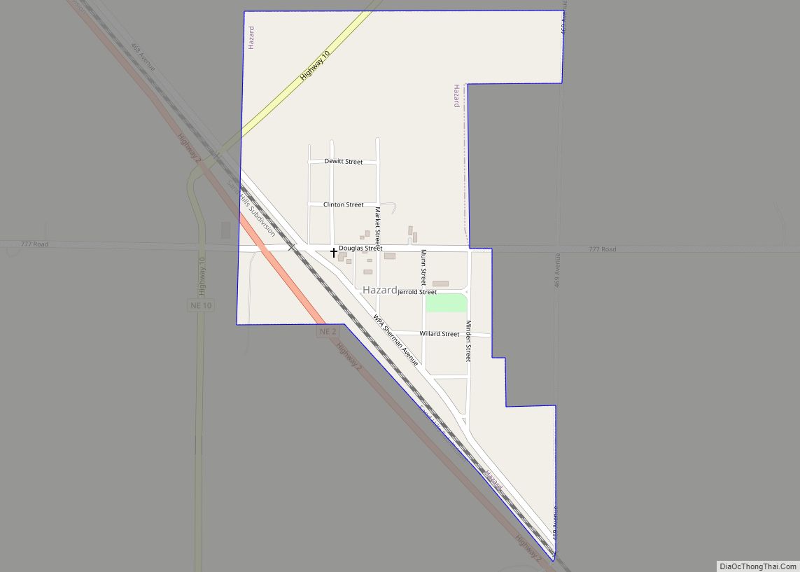
Hazard is a village in Sherman County, Nebraska, United States. The population was 70 at the 2010 census. Hazard village overview: Name: Hazard village LSAD Code: 47 LSAD Description: village (suffix) State: Nebraska County: Sherman County Elevation: 2,106 ft (642 m) Total Area: 0.25 sq mi (0.66 km²) Land Area: 0.25 sq mi (0.66 km²) Water Area: 0.00 sq mi (0.00 km²) Total Population: 57 Population ... Read more
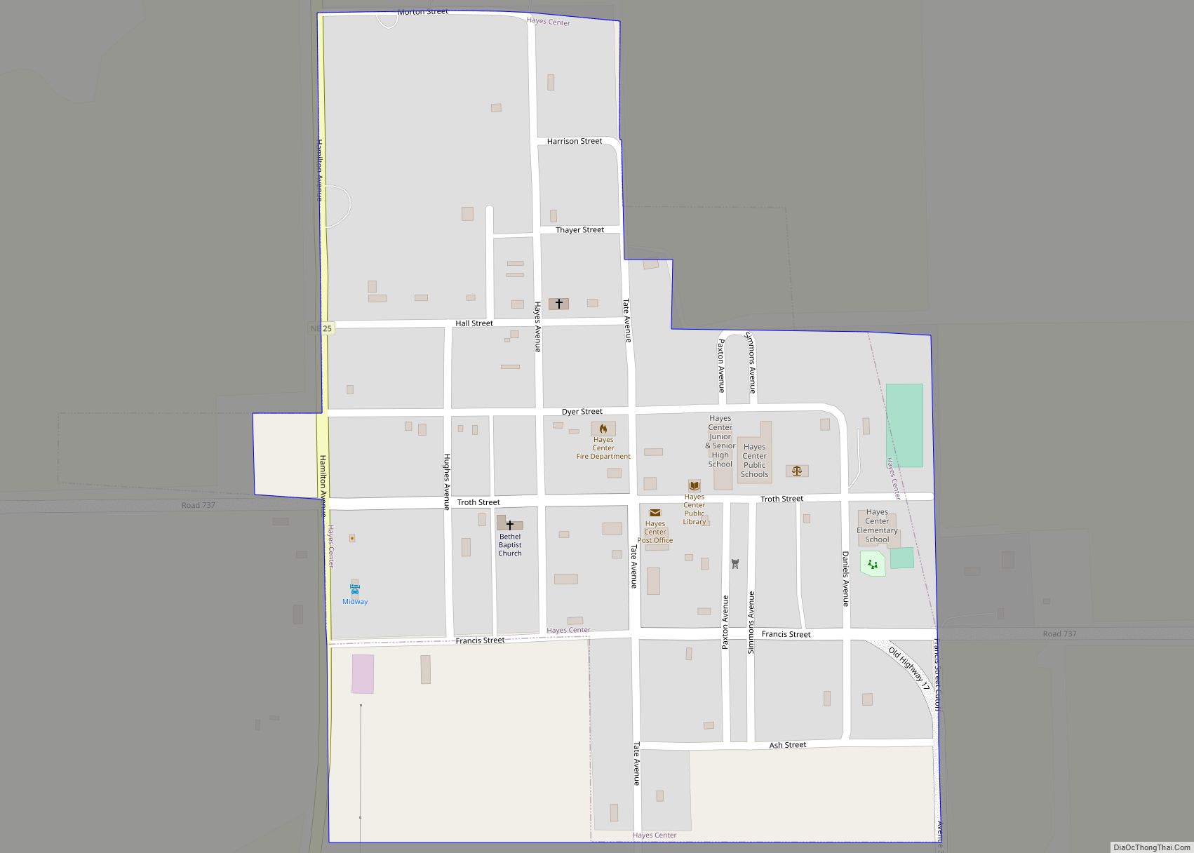
Hayes Center is a village in Hayes County, Nebraska, United States, which has served as that county’s county seat since 1885. Its population, according to the 2010 U.S. census, was 214. Hayes Center village overview: Name: Hayes Center village LSAD Code: 47 LSAD Description: village (suffix) State: Nebraska County: Hayes County Elevation: 3,045 ft (928 m) Total ... Read more
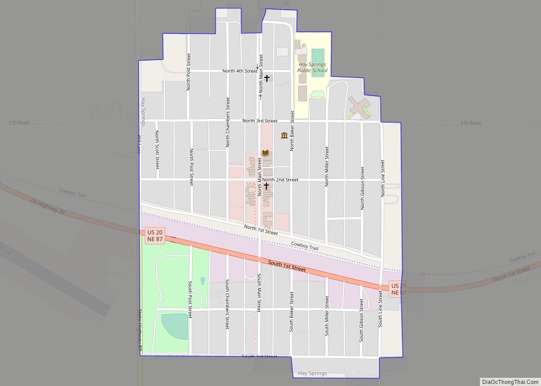
Hay Springs is a city in Sheridan County in the state of Nebraska, in the Great Plains region of the United States. The population was 570 at the 2010 census. Hay Springs village overview: Name: Hay Springs village LSAD Code: 47 LSAD Description: village (suffix) State: Nebraska County: Sheridan County Elevation: 3,839 ft (1,170 m) Total Area: ... Read more
Hastings is a city and the county seat of Adams County, Nebraska, United States. The population was 25,152 at the 2020 census. Edwin Perkins invented Kool-Aid in Hastings in 1927; the town celebrates the invention with the Kool-Aid Days festival every August. During World War II, Hastings operated the largest Naval Ammunition Depot in the ... Read more
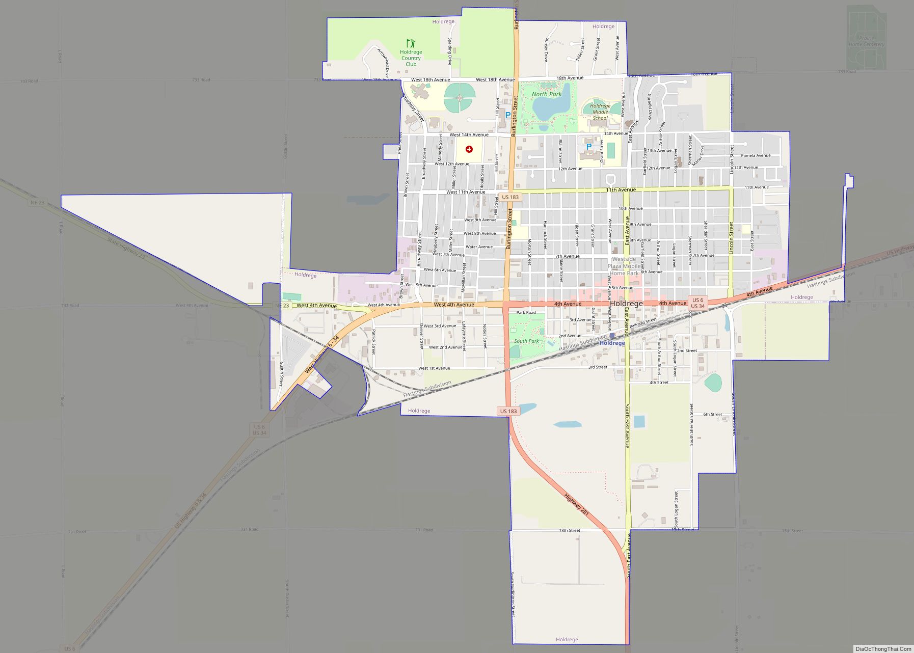
Holdrege is a city in Phelps County, Nebraska, United States. The population was 5,495 at the 2010 census. It is the county seat of Phelps County. The Nebraska Prairie Museum is located in Holdrege. Holdrege city overview: Name: Holdrege city LSAD Code: 25 LSAD Description: city (suffix) State: Nebraska County: Phelps County Elevation: 2,329 ft (710 m) ... Read more
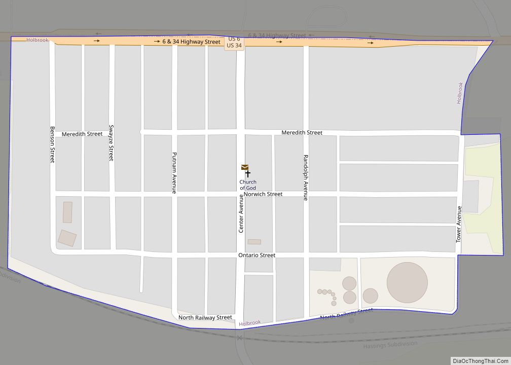
Holbrook is a village in Furnas County, Nebraska, United States. The population was 207 at the 2010 census. Holbrook village overview: Name: Holbrook village LSAD Code: 47 LSAD Description: village (suffix) State: Nebraska County: Furnas County Elevation: 2,211 ft (674 m) Total Area: 0.16 sq mi (0.42 km²) Land Area: 0.16 sq mi (0.42 km²) Water Area: 0.00 sq mi (0.00 km²) Total Population: 201 Population ... Read more
