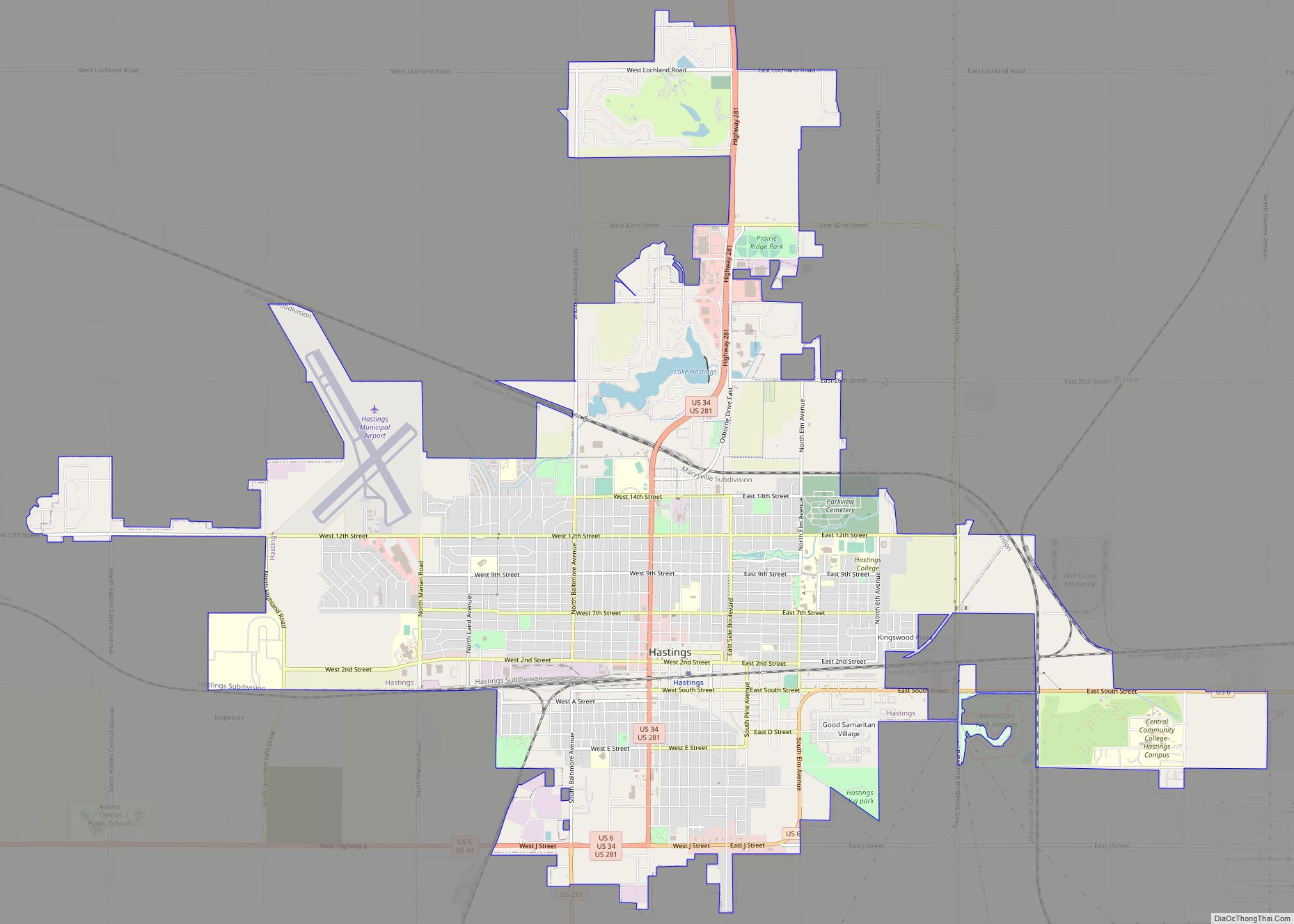
Hastings is a city and the county seat of Adams County, Nebraska, United States. The population was 25,152 at the 2020 census.
Edwin Perkins invented Kool-Aid in Hastings in 1927; the town celebrates the invention with the Kool-Aid Days festival every August.
During World War II, Hastings operated the largest Naval Ammunition Depot in the United States.
| Name: | Hastings city |
|---|---|
| LSAD Code: | 25 |
| LSAD Description: | city (suffix) |
| State: | Nebraska |
| County: | Adams County |
| Total Area: | 15.05 sq mi (38.97 km²) |
| Land Area: | 14.87 sq mi (38.51 km²) |
| Water Area: | 0.18 sq mi (0.46 km²) |
| Total Population: | 25,152 |
| Population Density: | 1,691.46/sq mi (653.09/km²) |
| ZIP code: | 68901-68902 |
| Area code: | 402 |
| FIPS code: | 3121415 |
| Website: | cityofhastings.org |
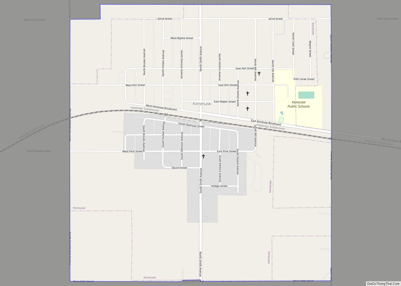
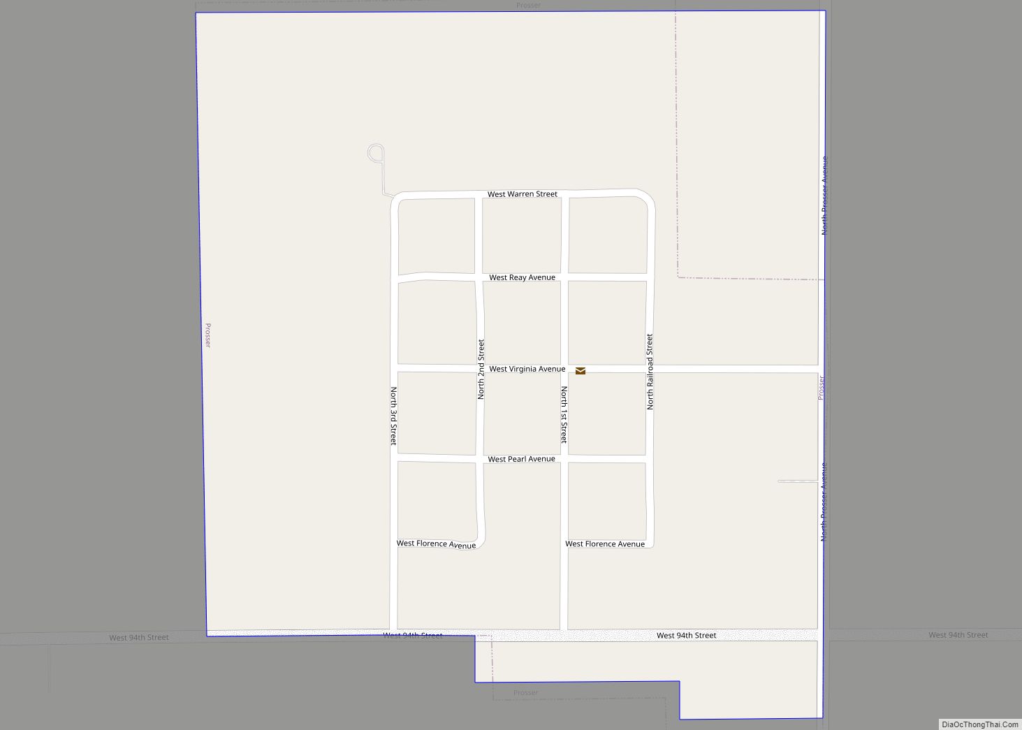
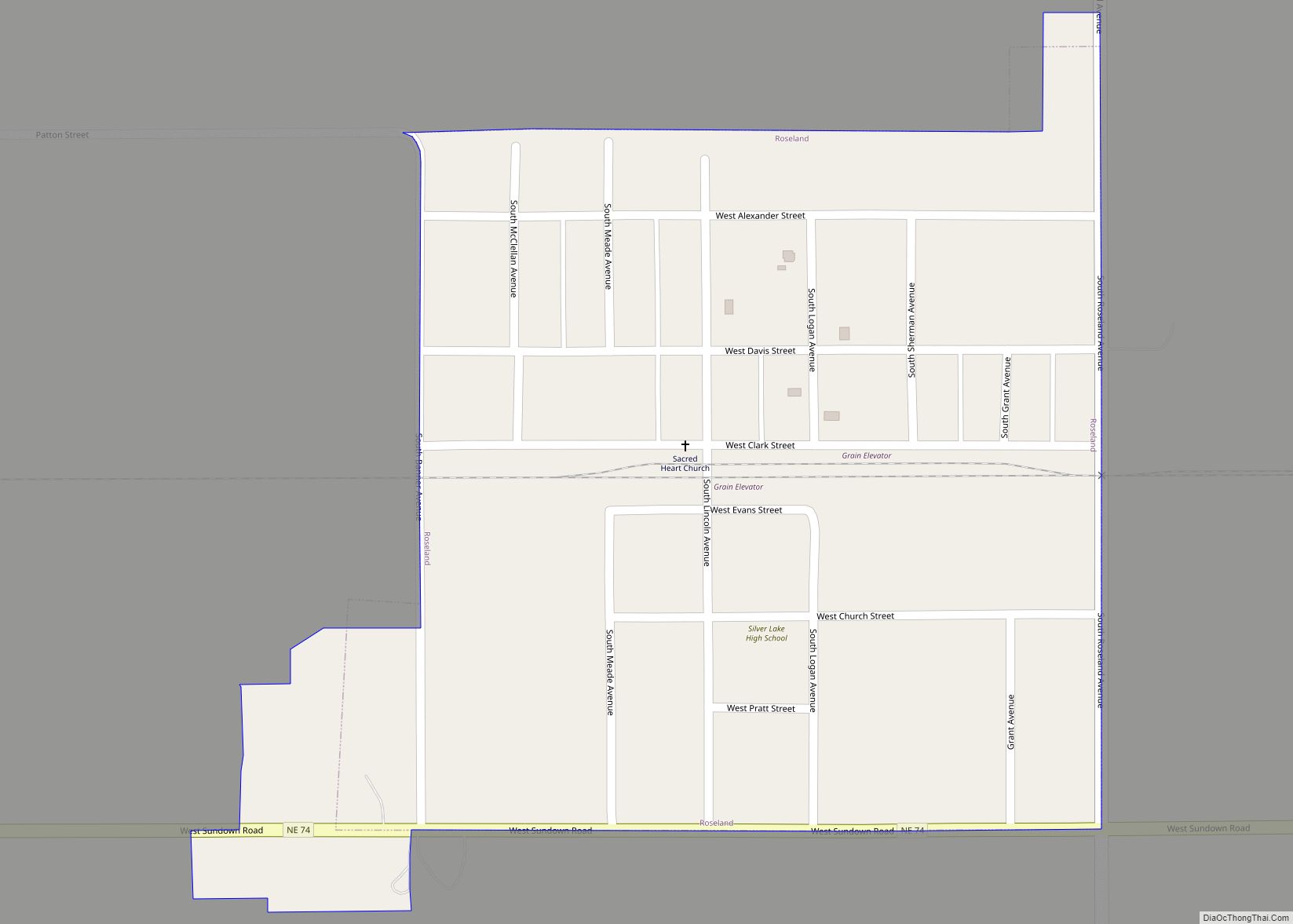
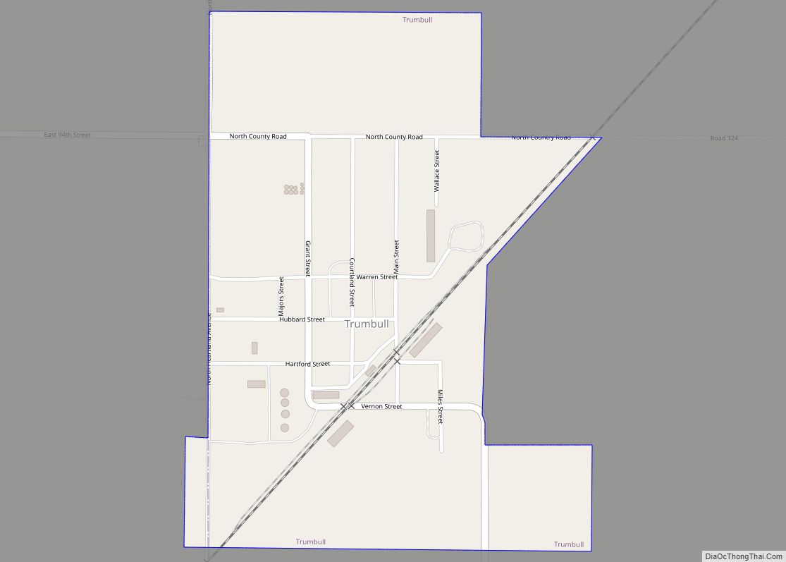
Online Interactive Map
Click on ![]() to view map in "full screen" mode.
to view map in "full screen" mode.
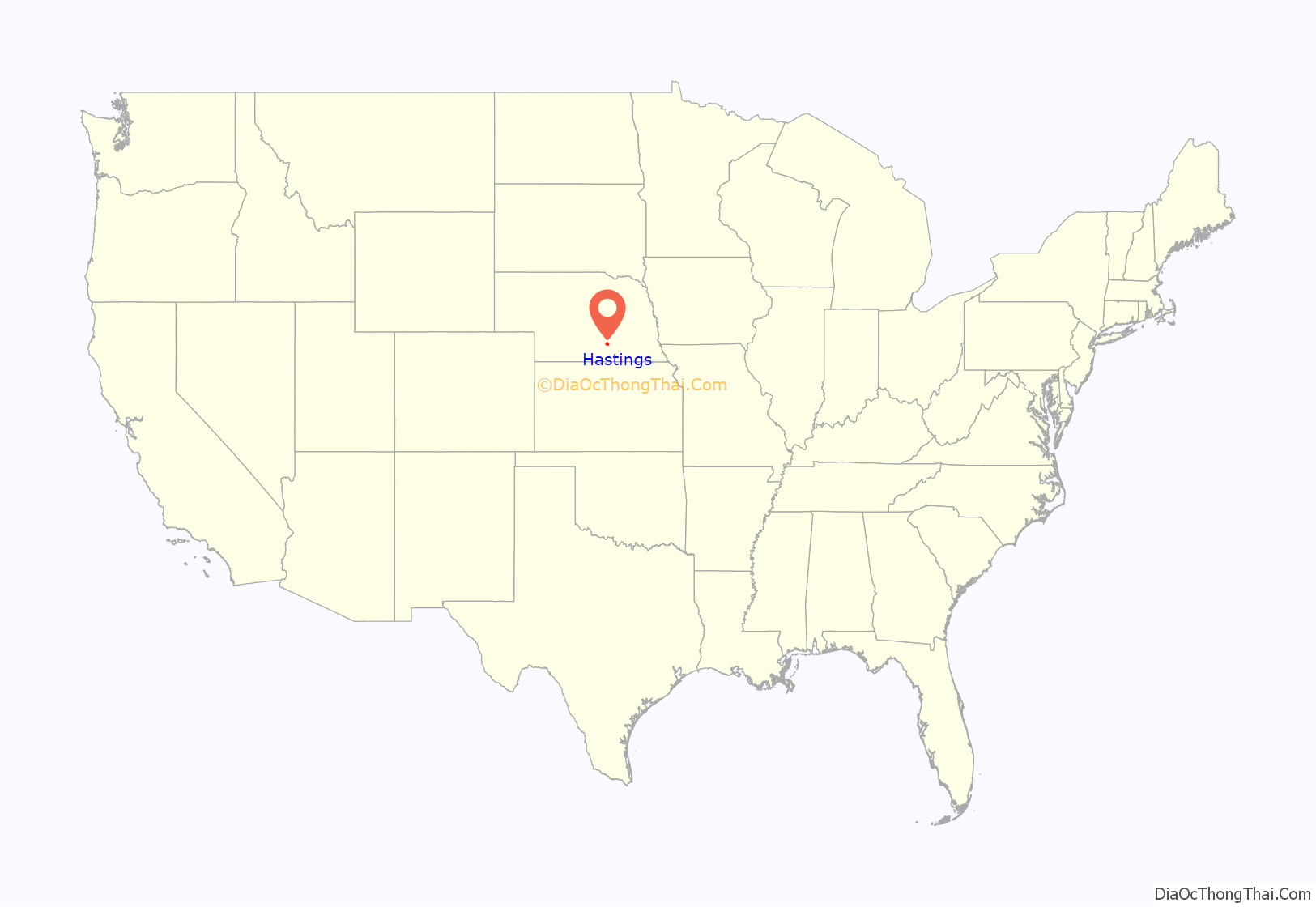
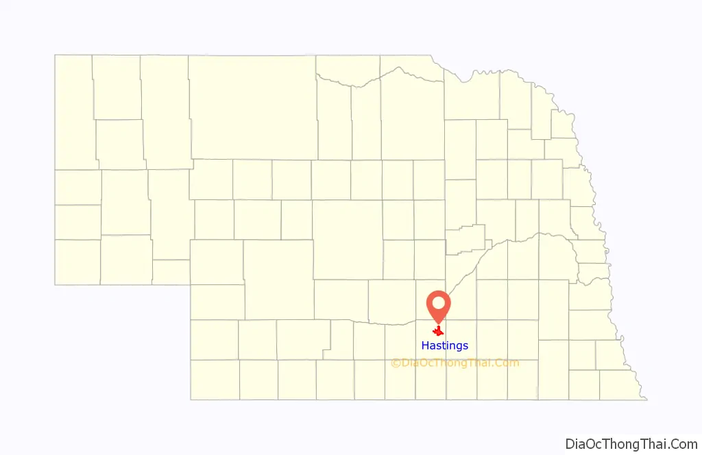
Hastings location map. Where is Hastings city?
History
Settlement
Hastings was founded in 1872 at the intersection of the Burlington and Missouri River Railroad and the St. Joseph and Denver City Railroad. It was named for Colonel D. T. Hastings of the St. Joseph and Grand Island Railroad, who was instrumental in building the railroad through Adams County. The area was previously open plain: the Donner party passed through on its way to California in 1846 and a pioneer cemetery marker in Hastings bears an inscription taken from Tamsen Donner’s journal: “The country between the Blue and the Platte is beautiful beyond compare. Never have I seen so varied a country so suitable to cultivation.” In the 1870s, railroads lured European immigrants to the new state of Nebraska with advertisements. Hastings’ first settlers were English, from Liverpool, and were quickly joined by other English, Irish, Germans, Danes, and Germans from Russia.
Between 1872 and 1880, when the population had grown to 2,800, Hastings was a boomtown. Settlers first built sod houses, dugouts, and shanties, then houses and stores. The city was incorporated in April 1874, and in September 1878, after a five-year Great County Seat War, the county seat was transferred to Hastings from Juniata. However, a fire in 1879 destroyed 33 buildings downtown. The city was rebuilt between 1880 and 1890 in fireproof materials and in a more planned fashion, with characteristically ornate Victorian buildings, many designed by Charles C. Rittenhouse, the first practicing architect in Adams County and also mayor for ten years. Thanks to the railroads, the city enjoyed great prosperity during the Gilded Age. The population grew to 13,500. This period of expansion ended with the drought and agricultural depression of the 1890s; the town’s population fell to 7,000 and would not reach 15,000 until 1930.
African Americans have lived in Hastings since the 1860s. In 1876, Horace G. Newsom started the first Black-owned newspaper in Nebraska.
20th Century
Hastings saw renewed growth from 1900 to 1930, which is reflected by buildings in the Craftsman, Prairie, Colonial Revival, and American Foursquare styles. The leading Arts and Crafts architect was Claude W. Way. Hastings had four brickyards and in 1911 was producing more bricks than any other city in Nebraska, and all the paving bricks. During this period, the city also became known as the cigar-making capital of Nebraska. The largest cigar factory, the Kipp Cigar Company, was by 1921 hand-rolling one-fifth of all cigars produced in Nebraska; in 1925 it produced half, a total of 10 million. Cigars lost their popularity to cigarettes between the two World Wars, and in the 1930s the Great Depression again brought the town’s expansion to a halt.
In 1942, the Naval Ammunition Depot (NAD) was constructed, initiating explosive growth: Hastings’ population grew from 15,000 to 23,000 in under a year and there was a critical shortage of housing, which prompted both alteration of existing housing stock and rapid construction of new neighborhoods. Once World War II ended, staff was reduced at the ammunition depot, bringing Hastings’ last growth period to an end in 1950, and the depot eventually closed. The NAD also significantly increased the city’s African American population, which went from 70 Black residents in 1940 to more than 1,000 by 1943.
Kool-Aid
Kool-Aid was invented by Edwin Perkins in Hastings. All of his experiments took place in his mother’s kitchen. Its predecessor was a liquid concentrate called Fruit Smack. To reduce shipping costs, in 1927, Perkins discovered a way to remove the liquid from Fruit Smack, leaving only a powder; this powder was named Kool-Aid. Perkins moved his production to Chicago in 1931 and Kool-Aid was sold to General Foods in 1953. Hastings still celebrates a yearly summer festival called Kool-Aid Days on the second weekend in August in honor of their city’s claim to fame. Kool-Aid is known as Nebraska‘s official soft drink.
21st century
Today, Heartwell Park and Central Hastings, two of the oldest neighborhoods, are listed on the National Register of Historic Places. The Hastings Symphony Orchestra performs in the Chautauqua Pavilion, built in 1907 and on the National Register of Historic Places, while the Hastings Community Theatre performs in the auditorium of the former Spencer Park School, built during the housing shortage of the 1940s. The city has adapted several of its historic buildings to new uses. Central Community College is housed in buildings of the former Naval Ammunition Depot. St. Michael’s Elementary School (formerly the Lincoln Elementary School building), built in 1912, is now the police headquarters. The Clarke Hotel, built in 1914 and also on the National Register of Historic Places, is now the Kensington, a home for senior citizens. Spencer Park, an 840-unit “village” built to house workers in the 1940s, is now Good Samaritan Retirement Village.
In 2000, there were 200 African Americans living in Adams County, with almost all living in Hastings. According to the U.S. Census, in 2022 African Americans comprise .6% of the city’s population.
On June 24, 2007, Hastings won Yahoo’s Greenest City in America competition.
Hastings Road Map
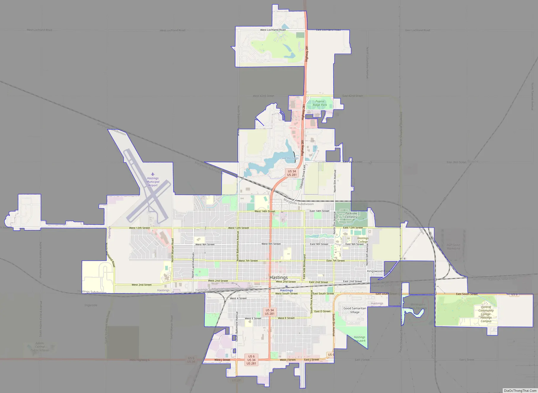
Hastings city Satellite Map

Geography
According to the United States Census Bureau, the city has a total area of 13.66 square miles (35.38 km), of which 13.48 square miles (34.91 km) is land and 0.18 square miles (0.47 km) is water.
Climate
A National Weather Service Forecast Office is located in Hastings, serving central and south-central Nebraska and six counties in north-central Kansas. The data below are from the WRCC.
Hastings has a humid continental climate (Dfa) with short, cold, and snowy winters and hot, rainy summers with mild nights.
See also
Map of Nebraska State and its subdivision:- Adams
- Antelope
- Arthur
- Banner
- Blaine
- Boone
- Box Butte
- Boyd
- Brown
- Buffalo
- Burt
- Butler
- Cass
- Cedar
- Chase
- Cherry
- Cheyenne
- Clay
- Colfax
- Cuming
- Custer
- Dakota
- Dawes
- Dawson
- Deuel
- Dixon
- Dodge
- Douglas
- Dundy
- Fillmore
- Franklin
- Frontier
- Furnas
- Gage
- Garden
- Garfield
- Gosper
- Grant
- Greeley
- Hall
- Hamilton
- Harlan
- Hayes
- Hitchcock
- Holt
- Hooker
- Howard
- Jefferson
- Johnson
- Kearney
- Keith
- Keya Paha
- Kimball
- Knox
- Lancaster
- Lincoln
- Logan
- Loup
- Madison
- McPherson
- Merrick
- Morrill
- Nance
- Nemaha
- Nuckolls
- Otoe
- Pawnee
- Perkins
- Phelps
- Pierce
- Platte
- Polk
- Red Willow
- Richardson
- Rock
- Saline
- Sarpy
- Saunders
- Scotts Bluff
- Seward
- Sheridan
- Sherman
- Sioux
- Stanton
- Thayer
- Thomas
- Thurston
- Valley
- Washington
- Wayne
- Webster
- Wheeler
- York
- Alabama
- Alaska
- Arizona
- Arkansas
- California
- Colorado
- Connecticut
- Delaware
- District of Columbia
- Florida
- Georgia
- Hawaii
- Idaho
- Illinois
- Indiana
- Iowa
- Kansas
- Kentucky
- Louisiana
- Maine
- Maryland
- Massachusetts
- Michigan
- Minnesota
- Mississippi
- Missouri
- Montana
- Nebraska
- Nevada
- New Hampshire
- New Jersey
- New Mexico
- New York
- North Carolina
- North Dakota
- Ohio
- Oklahoma
- Oregon
- Pennsylvania
- Rhode Island
- South Carolina
- South Dakota
- Tennessee
- Texas
- Utah
- Vermont
- Virginia
- Washington
- West Virginia
- Wisconsin
- Wyoming