Holdrege is a city in Phelps County, Nebraska, United States. The population was 5,495 at the 2010 census. It is the county seat of Phelps County. The Nebraska Prairie Museum is located in Holdrege.
| Name: | Holdrege city |
|---|---|
| LSAD Code: | 25 |
| LSAD Description: | city (suffix) |
| State: | Nebraska |
| County: | Phelps County |
| Elevation: | 2,329 ft (710 m) |
| Total Area: | 4.24 sq mi (10.98 km²) |
| Land Area: | 4.23 sq mi (10.95 km²) |
| Water Area: | 0.01 sq mi (0.04 km²) |
| Total Population: | 5,515 |
| Population Density: | 1,305.02/sq mi (503.87/km²) |
| ZIP code: | 68949 |
| Area code: | 308 |
| FIPS code: | 3122640 |
| GNISfeature ID: | 0830051 |
| Website: | www.cityofholdrege.org |
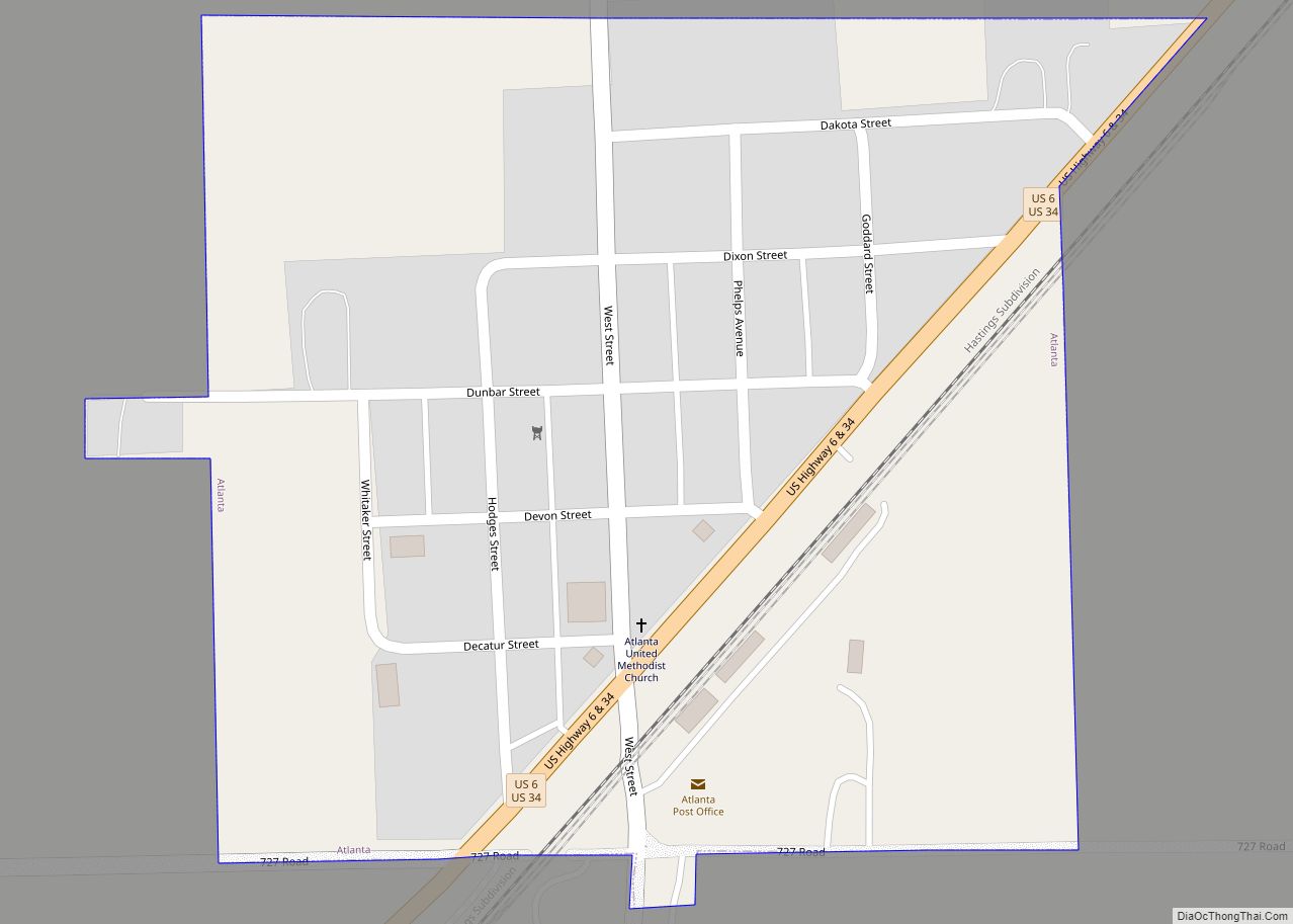
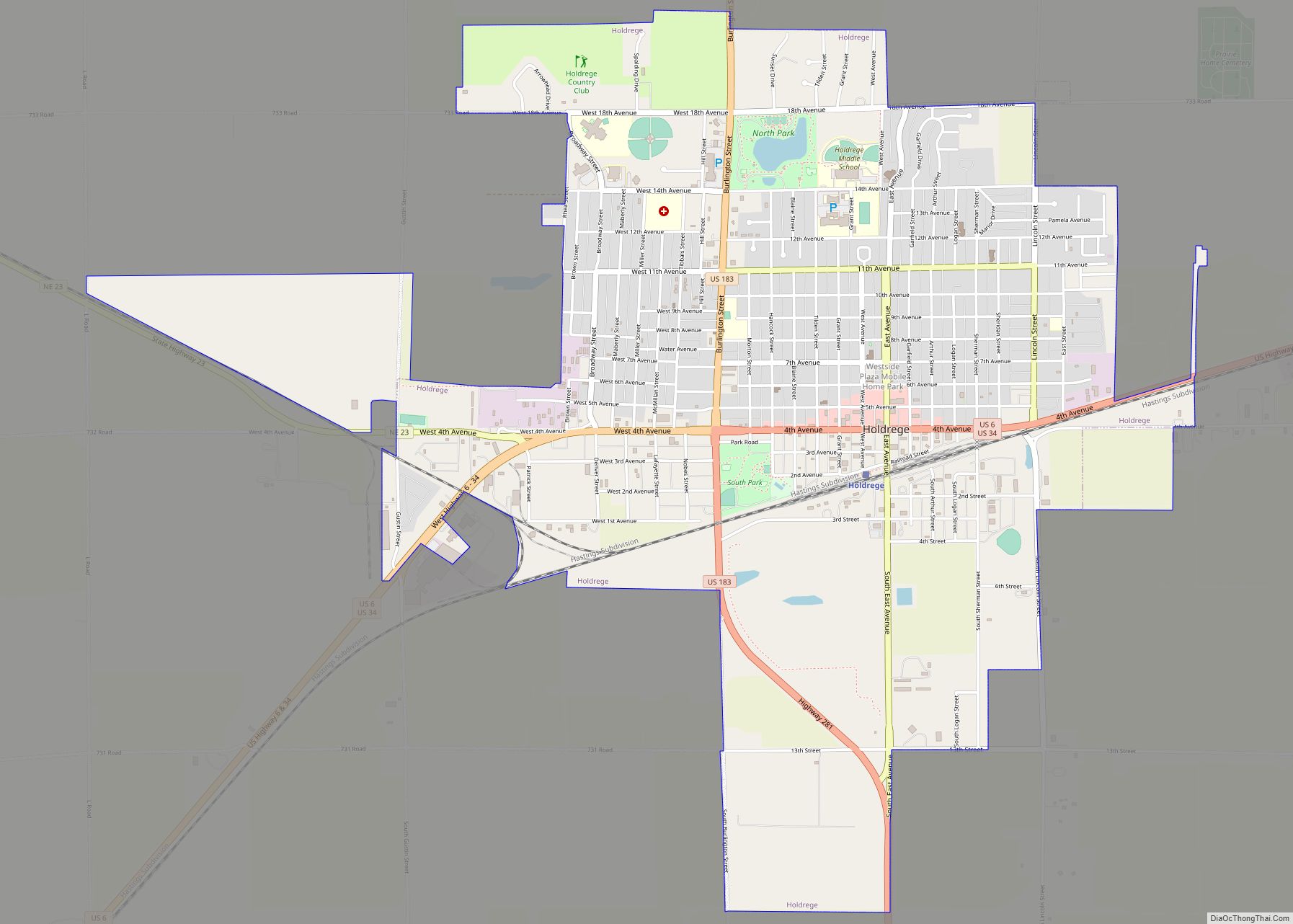
Online Interactive Map
Click on ![]() to view map in "full screen" mode.
to view map in "full screen" mode.
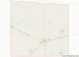
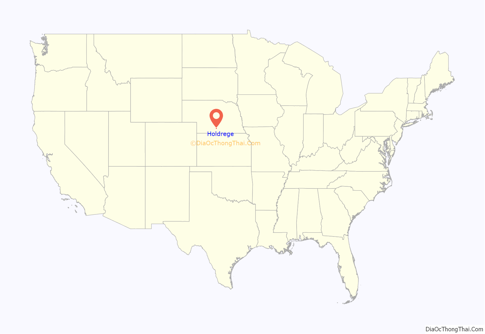
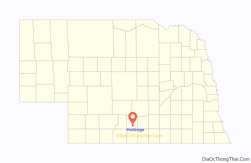
Holdrege location map. Where is Holdrege city?
History
Holdrege was established in 1883 when the railroad was extended to that point. It was named for George W. Holdrege, a railroad official. Holdrege was designated county seat in 1884.
Holdrege was settled primarily by immigrants from Sweden in the 1880s and was named after George W. Holdrege, general manager of the Chicago, Burlington, and Quincy Railroad Company. He constructed most of the line’s mileage in Nebraska, including a section through this small settlement in Phelps County. On December 10, 1883, the first train arrived in Holdrege, a little pioneer town inhabited by 200 people.
In 1884, a campaign was started to move the county seat from Phelps Center to Holdrege, and an election was scheduled for October. By that time, the town had acquired a block of ground on which to erect a courthouse. With calm assurance of victory at the polls, Holdrege laid the cornerstone of the building intended to be the Phelps County Courthouse. At the special election, Holdrege received a majority of the votes but the legality of the election was questioned. So citizens of Holdrege went to Phelps Center, picked up the official records and books and hid them for two months pending the arrival of new county officials who would take over on January 1, 1885. Holdrege succeeded in becoming the county seat and the courthouse was completed.
Holdrege was incorporated on February 14, 1884, and quickly became the metropolis of the county, being well located with good roads from all directions. The early history of the town was one of ups and downs—good crops one year then drought and no crops at all for several years. In 1910, C. W. McConaughy, a Holdrege grain dealer, began crusading for use of the Platte River to supplement subsoil moisture for farmlands in the area. His dream became reality when Central Nebraska Public Power and Irrigation District began its power production and irrigation operations and water flowed into Phelps County for irrigation in 1941.
A large increase in the population of Holdrege in the immediate post-war years was due mostly to irrigation. With irrigation came both stable and increased crop production, which brought a pipeline company, grain elevators, and agriculture-related businesses to town. The city was declared a first-class city on May 4, 1967.
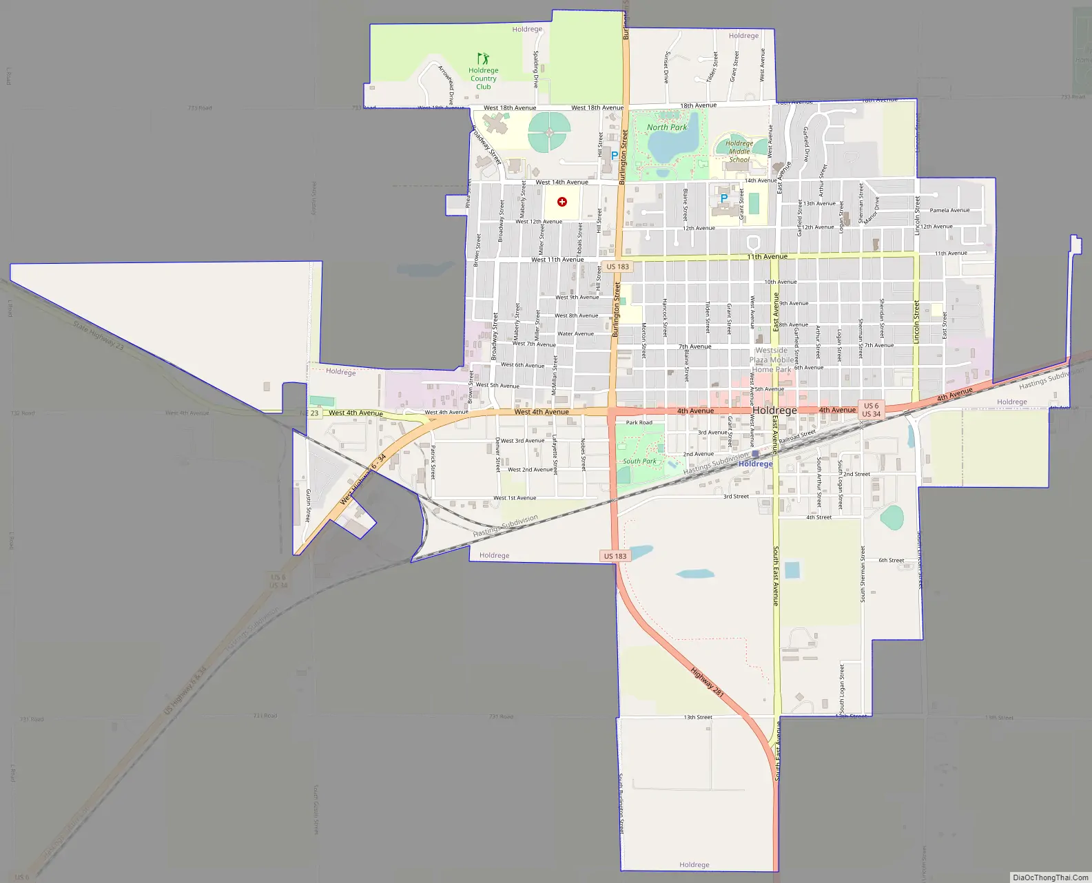
Holdrege Road Map
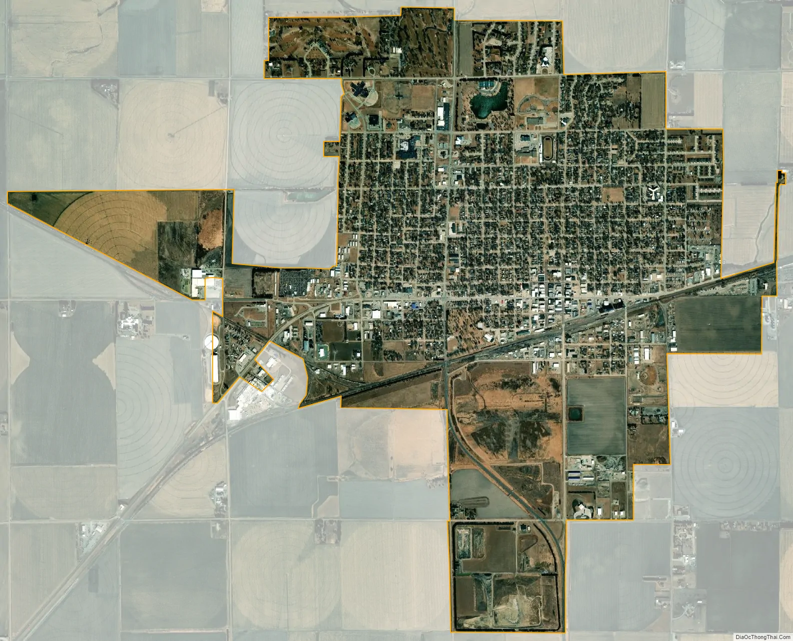
Holdrege city Satellite Map
Geography
According to the United States Census Bureau, the city has a total area of 3.87 square miles (10.02 km), of which 3.86 square miles (10.00 km) is land and 0.01 square miles (0.03 km) is water.
Climate
See also
Map of Nebraska State and its subdivision:- Adams
- Antelope
- Arthur
- Banner
- Blaine
- Boone
- Box Butte
- Boyd
- Brown
- Buffalo
- Burt
- Butler
- Cass
- Cedar
- Chase
- Cherry
- Cheyenne
- Clay
- Colfax
- Cuming
- Custer
- Dakota
- Dawes
- Dawson
- Deuel
- Dixon
- Dodge
- Douglas
- Dundy
- Fillmore
- Franklin
- Frontier
- Furnas
- Gage
- Garden
- Garfield
- Gosper
- Grant
- Greeley
- Hall
- Hamilton
- Harlan
- Hayes
- Hitchcock
- Holt
- Hooker
- Howard
- Jefferson
- Johnson
- Kearney
- Keith
- Keya Paha
- Kimball
- Knox
- Lancaster
- Lincoln
- Logan
- Loup
- Madison
- McPherson
- Merrick
- Morrill
- Nance
- Nemaha
- Nuckolls
- Otoe
- Pawnee
- Perkins
- Phelps
- Pierce
- Platte
- Polk
- Red Willow
- Richardson
- Rock
- Saline
- Sarpy
- Saunders
- Scotts Bluff
- Seward
- Sheridan
- Sherman
- Sioux
- Stanton
- Thayer
- Thomas
- Thurston
- Valley
- Washington
- Wayne
- Webster
- Wheeler
- York
- Alabama
- Alaska
- Arizona
- Arkansas
- California
- Colorado
- Connecticut
- Delaware
- District of Columbia
- Florida
- Georgia
- Hawaii
- Idaho
- Illinois
- Indiana
- Iowa
- Kansas
- Kentucky
- Louisiana
- Maine
- Maryland
- Massachusetts
- Michigan
- Minnesota
- Mississippi
- Missouri
- Montana
- Nebraska
- Nevada
- New Hampshire
- New Jersey
- New Mexico
- New York
- North Carolina
- North Dakota
- Ohio
- Oklahoma
- Oregon
- Pennsylvania
- Rhode Island
- South Carolina
- South Dakota
- Tennessee
- Texas
- Utah
- Vermont
- Virginia
- Washington
- West Virginia
- Wisconsin
- Wyoming