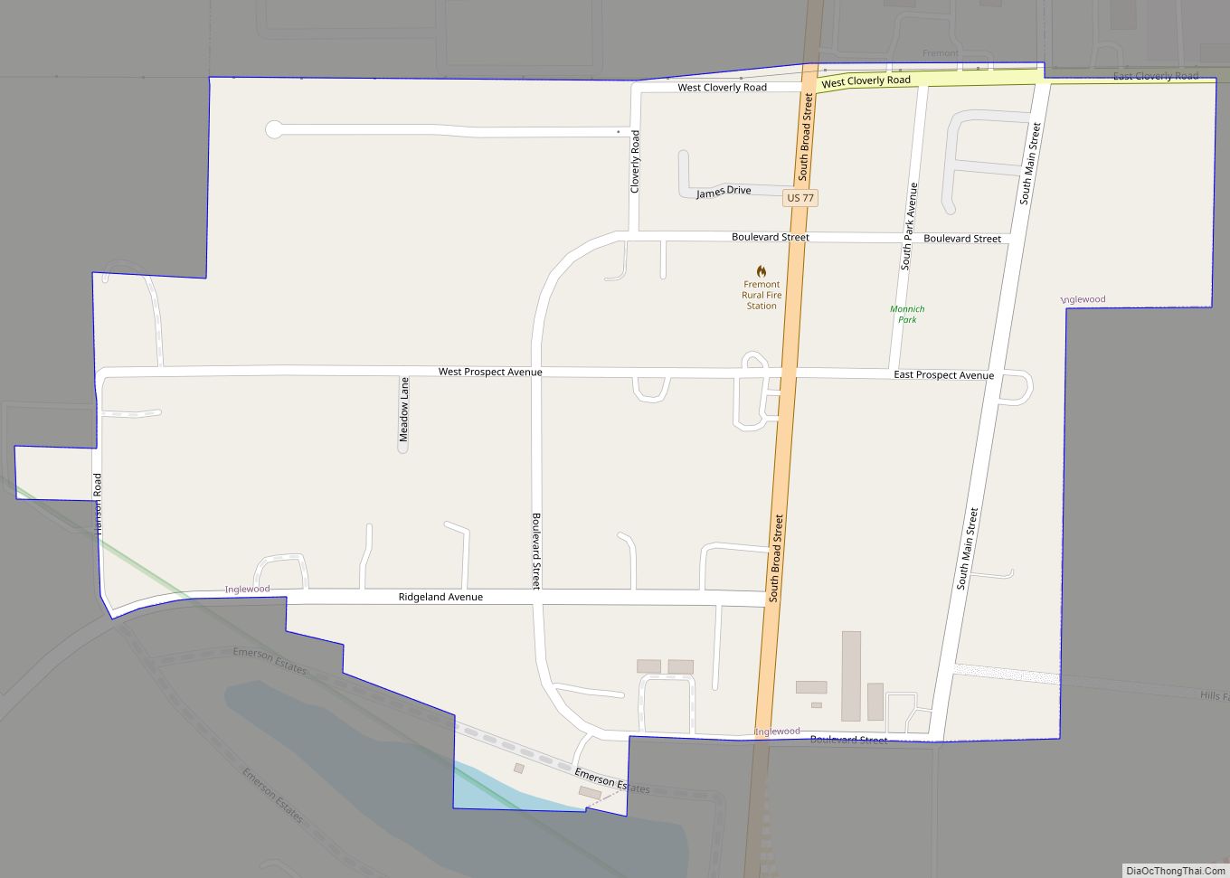
Inglewood is a village in Dodge County, Nebraska, United States. The population was 325 at the 2010 census. Inglewood village overview: Name: Inglewood village LSAD Code: 47 LSAD Description: village (suffix) State: Nebraska County: Dodge County Elevation: 1,194 ft (364 m) Total Area: 0.27 sq mi (0.70 km²) Land Area: 0.27 sq mi (0.70 km²) Water Area: 0.00 sq mi (0.00 km²) Total Population: 380 Population ... Read more
Nebraska Cities and Places
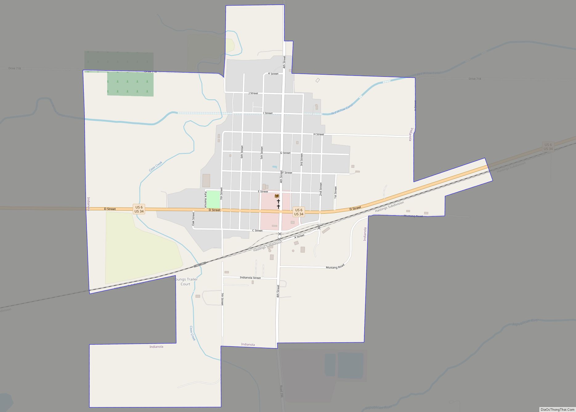
Indianola is a city in Red Willow County, Nebraska, United States. The population was 584 at the 2010 census. Indianola city overview: Name: Indianola city LSAD Code: 25 LSAD Description: city (suffix) State: Nebraska County: Red Willow County Elevation: 2,382 ft (726 m) Total Area: 1.25 sq mi (3.23 km²) Land Area: 1.25 sq mi (3.23 km²) Water Area: 0.00 sq mi (0.00 km²) Total Population: ... Read more
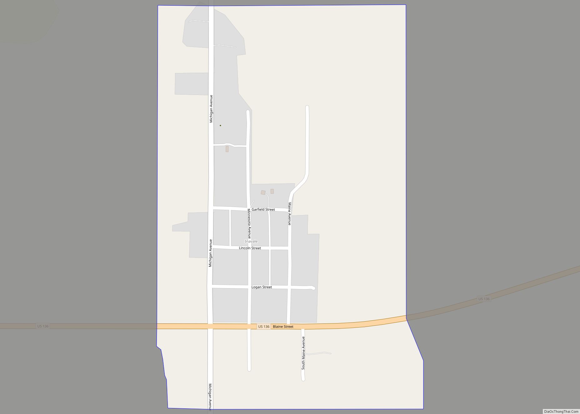
Inavale is an unincorporated community and census-designated place in western Webster County, Nebraska, United States. It lies along U.S. Route 136, west of the city of Red Cloud, the county seat of Webster County. Its elevation is 1,736 feet (529 m). A post office was established at Invale in 1873, and remained in operation until it was ... Read more
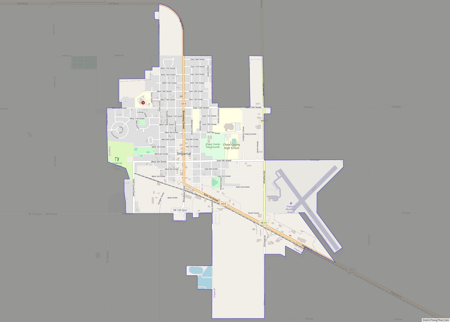
Imperial is a city in Chase County, Nebraska, United States. The population was 2,071 at the 2010 census. It is the county seat of Chase County. Imperial city overview: Name: Imperial city LSAD Code: 25 LSAD Description: city (suffix) State: Nebraska County: Chase County Elevation: 3,284 ft (1,001 m) Total Area: 3.03 sq mi (7.85 km²) Land Area: 3.02 sq mi (7.83 km²) ... Read more
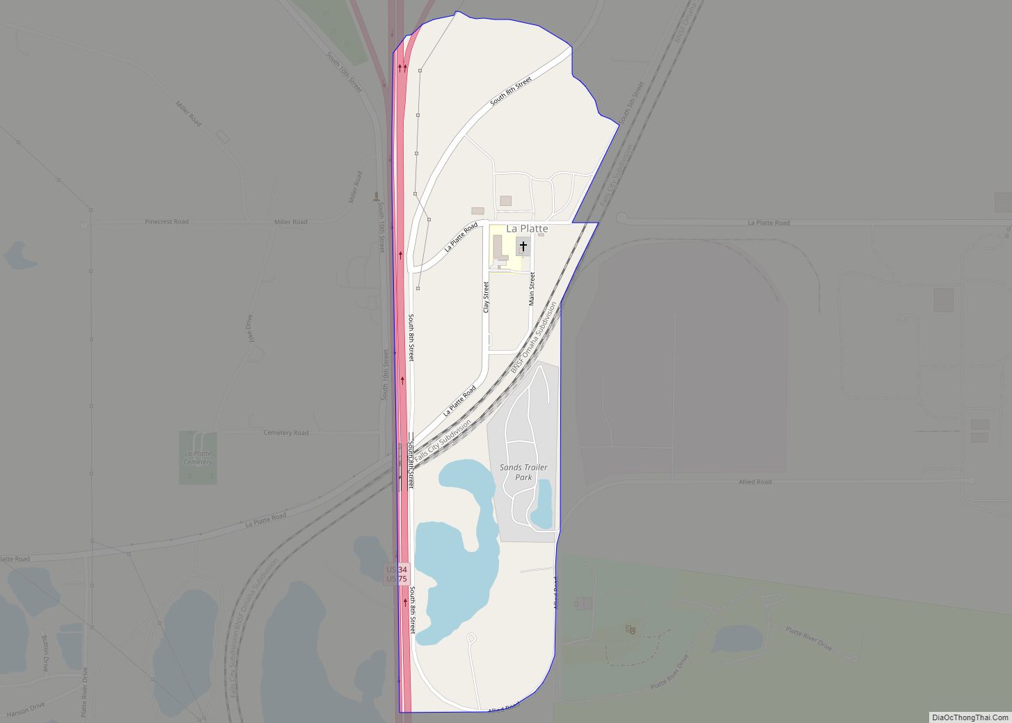
La Platte is a census-designated place (CDP) in Sarpy County, Nebraska, United States. La Platte CDP overview: Name: La Platte CDP LSAD Code: 57 LSAD Description: CDP (suffix) State: Nebraska County: Sarpy County Elevation: 981 ft (299 m) Total Area: 0.31 sq mi (0.80 km²) Land Area: 0.28 sq mi (0.73 km²) Water Area: 0.03 sq mi (0.06 km²) Total Population: 50 Population Density: 177.30/sq mi (68.37/km²) ... Read more
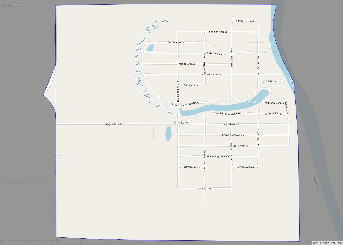
King Lake is an unincorporated community and census-designated place in Douglas County, Nebraska, United States. The population was 280 at the 2010 census. Of the population, 218 people are male and 62 are female. The area is 1.02 square miles (2.6 km). The population density is 125.09 people/sq. mi. The land area is 0.99 square miles ... Read more
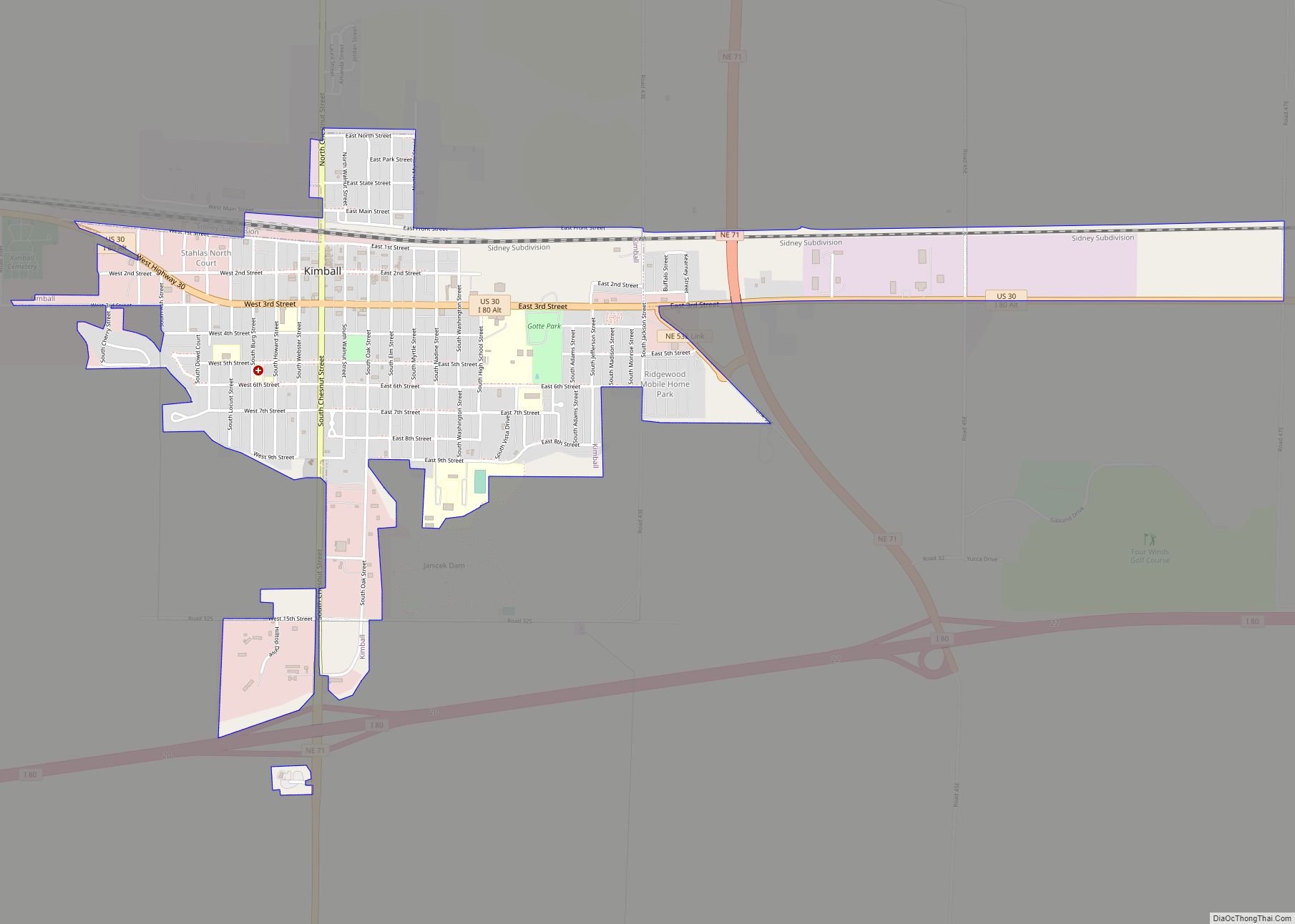
Kimball is a city in and county seat of Kimball County, Nebraska, United States. The population was 2,290 at the 2020 census. Kimball city overview: Name: Kimball city LSAD Code: 25 LSAD Description: city (suffix) State: Nebraska County: Kimball County Elevation: 4,715 ft (1,437 m) Total Area: 2.07 sq mi (5.36 km²) Land Area: 2.07 sq mi (5.36 km²) Water Area: 0.00 sq mi (0.00 km²) ... Read more
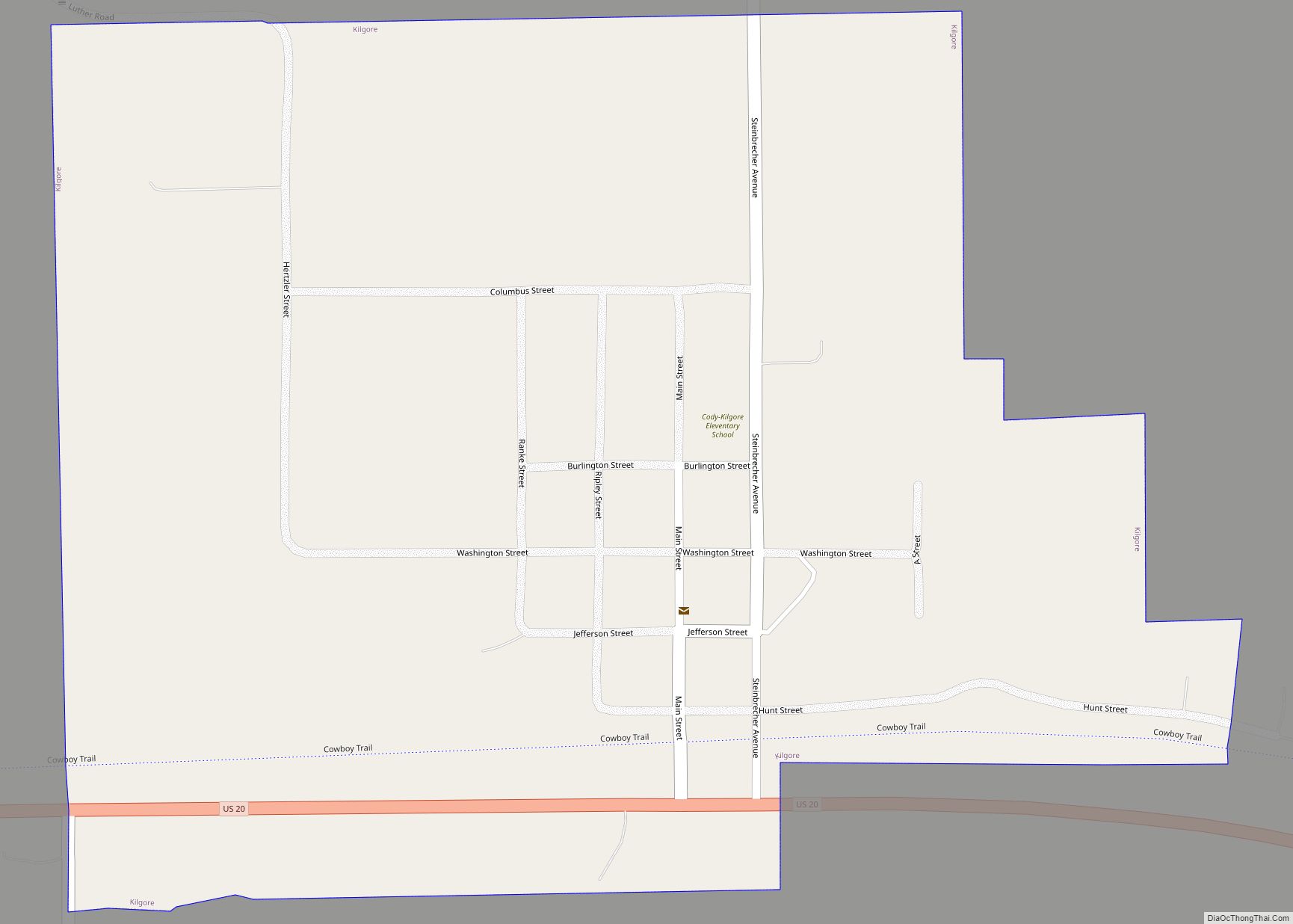
Kilgore is a village in Cherry County, Nebraska, United States. The population was 77 at the 2010 census. Kilgore village overview: Name: Kilgore village LSAD Code: 47 LSAD Description: village (suffix) State: Nebraska County: Cherry County Elevation: 2,917 ft (889 m) Total Area: 0.45 sq mi (1.16 km²) Land Area: 0.45 sq mi (1.16 km²) Water Area: 0.00 sq mi (0.00 km²) Total Population: 63 Population ... Read more
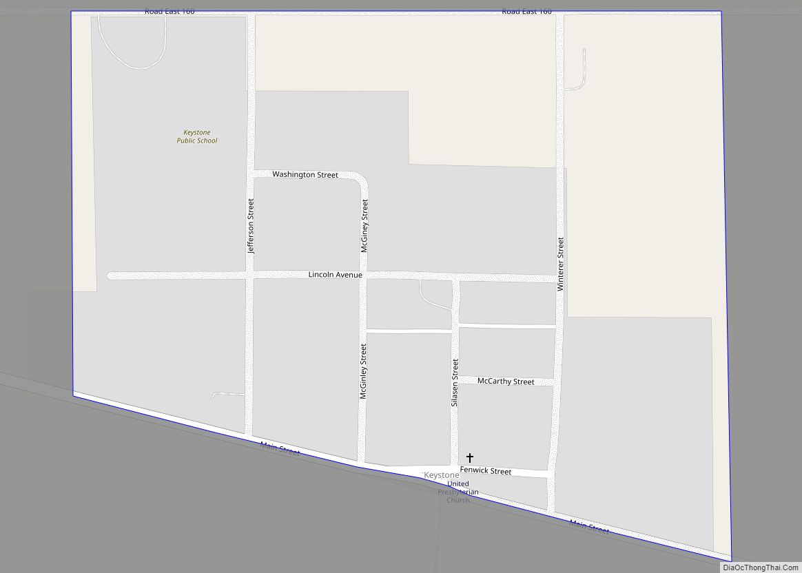
Keystone is an unincorporated community and census-designated place in central Keith County, Nebraska, United States. As of the 2010 census its population was 59. It lies along local roads near the North Platte River, 13 miles (21 km) northeast of the city of Ogallala, the county seat of Keith County. Its elevation is 3,100 feet (940 m) ... Read more
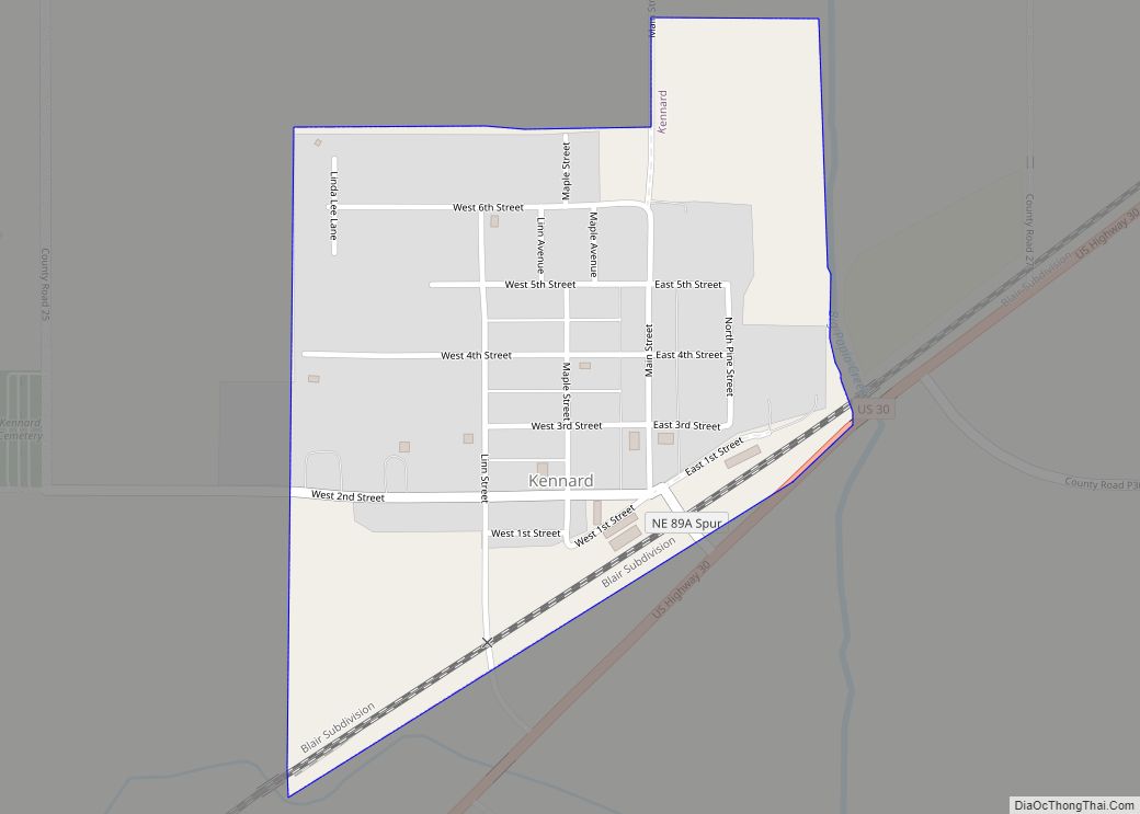
Kennard is a village in Washington County, Nebraska, United States. The population was 361 at the 2010 census. Kennard village overview: Name: Kennard village LSAD Code: 47 LSAD Description: village (suffix) State: Nebraska County: Washington County Elevation: 1,145 ft (349 m) Total Area: 0.30 sq mi (0.77 km²) Land Area: 0.30 sq mi (0.77 km²) Water Area: 0.00 sq mi (0.00 km²) Total Population: 381 Population ... Read more
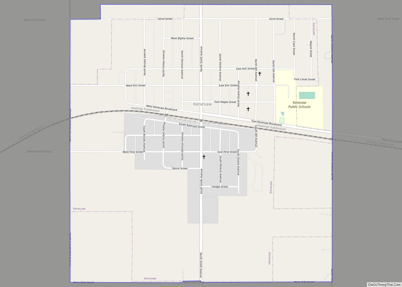
Kenesaw is a village in Adams County, Nebraska, United States. The population was 917 at the 2020 census. It is part of the Hastings, Nebraska Micropolitan Statistical Area. Kenesaw village overview: Name: Kenesaw village LSAD Code: 47 LSAD Description: village (suffix) State: Nebraska County: Adams County Elevation: 2,051 ft (625 m) Total Area: 1.06 sq mi (2.74 km²) Land Area: ... Read more
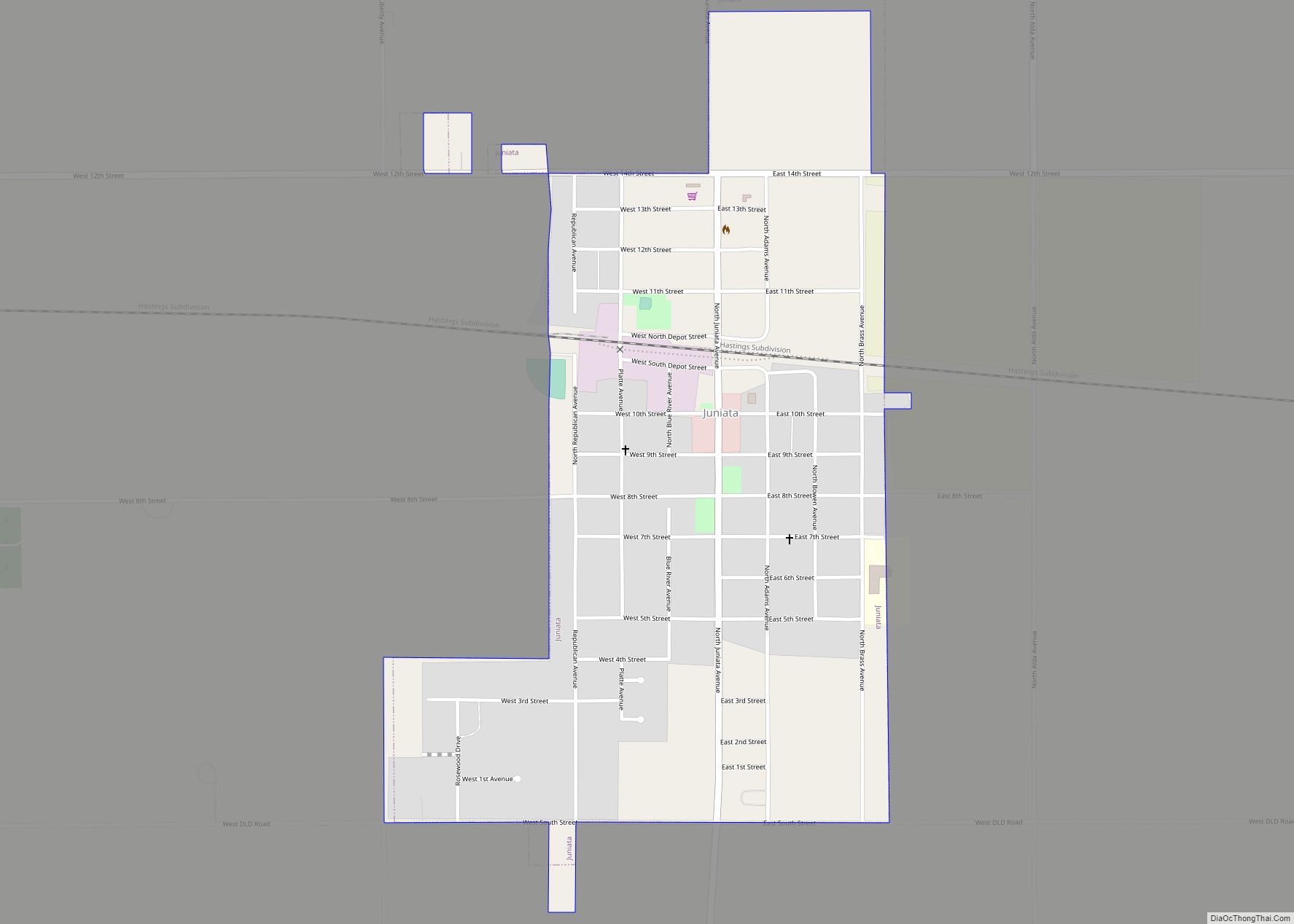
Juniata is a village in Adams County, Nebraska, United States. The population was 744 at the 2020 census. It is part of the Hastings, Nebraska Micropolitan Statistical Area. Juniata village overview: Name: Juniata village LSAD Code: 47 LSAD Description: village (suffix) State: Nebraska County: Adams County Elevation: 1,962 ft (598 m) Total Area: 0.68 sq mi (1.75 km²) Land Area: ... Read more
